I think this guy did the whole route in a stock Ford Explorer.
Enjoy! :)
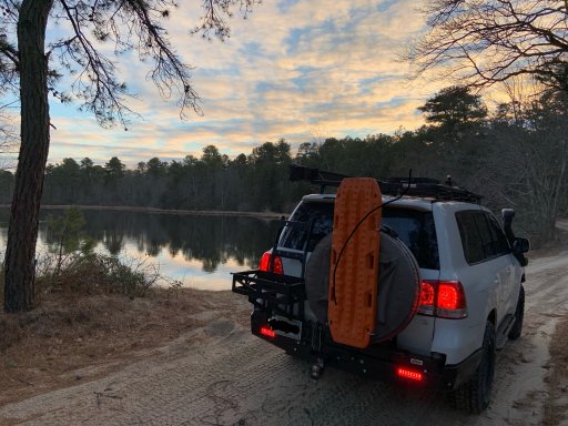
Thanks!! We are aiming to start at Assunpink Lake and get through Poor Man's Safari.
Anyone going to be out on TNJT this weekend?
I think this guy did the whole route in a stock Ford Explorer.
Enjoy! :)

Pioneer II
24720
Anyone going to be out on TNJT this weekend?
Pioneer II
24720
I just realized this is on the wrong thread. I though I was on the windshield photos, my bad.Amazing pics! Where is this?
Pioneer II
24720
I just realized this is on the wrong thread. I though I was on the windshield photos, my bad.Amazing pics! Where is this?
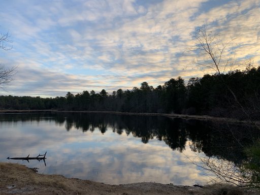
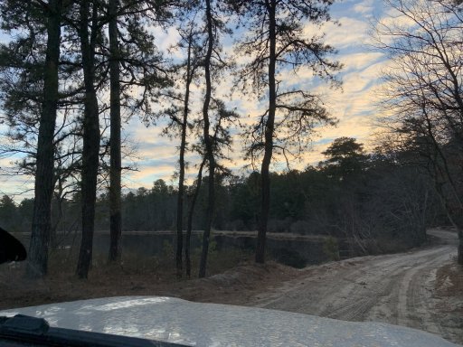
These are from a couple weeks ago in the middle of Baja, surfing kayaking and sight seeing.

Contributor I
Pioneer II
24720

Enthusiast I


Explorer I
I just realized this is on the wrong thread. I though I was on the windshield photos, my bad.
These are from a couple weeks ago in the middle of Baja, surfing kayaking and sight seeing.
Pioneer II
24720
Wow, I know this is an older thread, but this is awesome! I've done a lot of these in my Ascent, and have been scouting more - you just made that a lot easier. Thanks @Xplorr313!!!
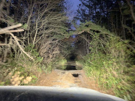
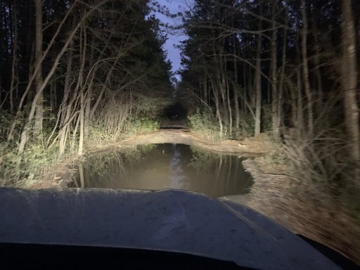
And, yeah, those water holes can be killer! We had a Forester owner who decided to ignore our warnings, and nosedived into a "puddle" on one of those "roads". I had to pull him out, and we ended up needing to empty the water from the combustion chambers and replace his in-car (passenger footwell) ECU. This is Old "Road" near Jones "Road" and Rt 72 and Rt 70, right on the other side of Rt 539 from Mt Misery Road.
View attachment 179435

Contributor III
Enthusiast I
26112
Contributor III
Having trouble finding/understanding where the map is of the trail. Do I need leadNav to get it? Sry I don’t see any posts or anything downloadable for get the map. Thanks for anyone pointing me in the right direction. Looking to do this as my first official road trip in the 14’ Tacoma
Having trouble finding/understanding where the map is of the trail. Do I need leadNav to get it? Sry I don’t see any posts or anything downloadable for get the map. Thanks for anyone pointing me in the right direction. Looking to do this as my first official road trip in the 14’ Tacoma
It’s on the first page of this thread. There is a zip file posted at the bottom of the very first post. Download the zip, unzip it and you will get the gpx file with the trail route, then you can import it into your mapping software/app. Good luck and have fun.

Enthusiast II
I ran the south part of the trail from Atison to Moore’s Beach today. One thing to note in Wharton State Forest is that they have closed Goodwater Road (the right turn after the bridge on Quaker Bridge Road) to motorized traffic. There are posts in the road stating that.
I took the next right onto Washington Quaker Bridge Road to a right on Penn Swamp Road to reconnect with the TNJT on Washington Turnpike.

Traveler I
26167


