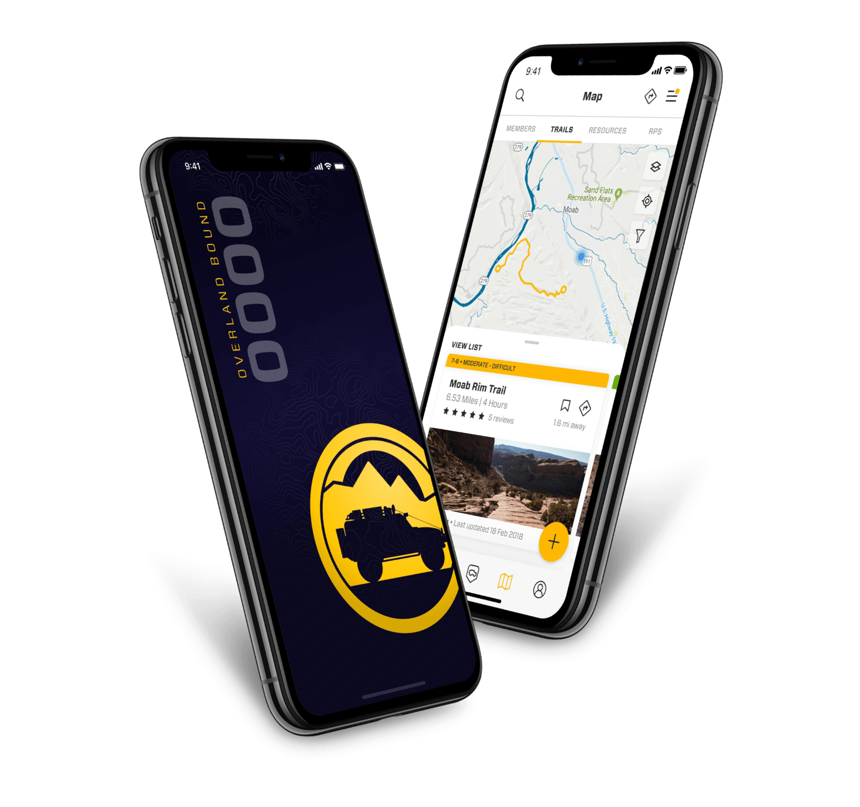
Comparison: OB1 Track Recording vs. Other

  • HTML tutorial

Michael

Rank IX
Staff member
Founder 500
Member

Benefactor

15,584
Livermore, California, United States
First Name
Michael
Last Name
Murguia
Member #

0000

Ham/GMRS Callsign
KM6YSL
We started building OB1 for our community for many reason, one of which was, we were not happy with what was out there for Overlanders and Off-Road travelers. We are focused on the specific needs of our community and adventure travelers, and that rigor means we are not satisficed with, "good enough".

These screenshots were sent by a Member comparing OB1 with another on the same trip. We work closely with the community constantly (on an hourly basis) to iterate rapidly and improve the platform. OB1 is also my primary offroad navigation tool, and I incessantly record and report new feature ideas and issues when I'm out on the trail.

Other apps GPX recording:
IMG_0903.PNG
OB1's GPX Recording (green line):
IMG_0904.PNG

In addition to the better accuracy of OB1, there are a few other features that make track recording in OB1 convenient.

Instant Directional Waypoints:

1656262617724.png

We've all been following a GPX track when it comes to a fork - its often 100 Meters before you can tell that you took the right fork! If you have a trailer or the trail is treacherous - that's a BIG deal! While recording a track - you can add a direction by simply tapping the arrow icons. It will add a note to the GPX that will display on the map:

  • Sharp left
  • Slight left
  • Straight
  • etc.
In addition, you can add notes. All of these icons can be moved and adjusted on the map by long pressing the icon until the GPX is saved.

Automatic Distance Waypoints.

Also, OB1 drops mile marker waypoints automatically to show the distance on the trail. OB1, OB2, OB3 etc. You can adjust these markers or turn them off in settings. This is during a testing run while we were developing these features.


1656263004035.png

Enjoy!

As always, let me know if you have any questions or feedback!

M
 
Last edited:

GunRunnersActual

Rank V
Member

Explorer I

2,123
Laurel, MS, USA
First Name
Tommy
Last Name
Watson
Member #

30770

Ham/GMRS Callsign
GMRS - WROE242
Service Branch
USMC
How about more control over our layers/overlays? If I could mix the Adventure and Satellite options, that would be one step closer to how I set up Gaia. Also, Private/Public land overlays (where I live, there’s a lot of private land in the National Forests and I want to try to respect those boundaries)
 
  • Like
Reactions: Ubiety and Michael

Michael

Rank IX
Staff member
Founder 500
Member

Benefactor

15,584
Livermore, California, United States
First Name
Michael
Last Name
Murguia
Member #

0000

Ham/GMRS Callsign
KM6YSL
How about more control over our layers/overlays? If I could mix the Adventure and Satellite options, that would be one step closer to how I set up Gaia. Also, Private/Public land overlays (where I live, there’s a lot of private land in the National Forests and I want to try to respect those boundaries)
Yes - these are all in the works near-term.
The next release (in the next few days) has the USFS 2016 layer which has an opacity slider which looks like this at 60%:

1656269490226.png

The tech to display the Public/private info is done, and now need to hook up the layer/ So this will be soon.
 

GunRunnersActual

Rank V
Member

Explorer I

2,123
Laurel, MS, USA
First Name
Tommy
Last Name
Watson
Member #

30770

Ham/GMRS Callsign
GMRS - WROE242
Service Branch
USMC
How about more control over our layers/overlays? If I could mix the Adventure and Satellite options, that would be one step closer to how I set up Gaia. Also, Private/Public land overlays (where I live, there’s a lot of private land in the National Forests and I want to try to respect those boundaries)
Yes - these are all in the works near-term.
The next release (in the next few days) has the USFS 2016 layer which has an opacity slider which looks like this at 60%:

View attachment 234106

The tech to display the Public/private info is done, and now need to hook up the layer/ So this will be soon.
Looking good. Now you just have to build us our own Garmin Overlander style device that also has a HUD for any vehicle. Shut up and take my money.
 

LostWoods

Rank IV
Launch Member

Member III

1,116
Phoenix, AZ, USA
First Name
Andrew
Last Name
lastname
Member #

12360

How is this level of updating on power? More specifically, most vehicles have pretty paltry output through the onboard USB, does it significantly slow down charging?
 
  • Like
Reactions: Michael

Ubiety

Rank VI
Member

Explorer I

5,221
Sammamish, WA, USA
First Name
Greg
Last Name
Ubiety
Member #

6193

Ham/GMRS Callsign
Ribs
How is this level of updating on power? More specifically, most vehicles have pretty paltry output through the onboard USB, does it significantly slow down charging?
My _guess_ is it would not affect charging at all since GPS units have a slow update rate (in a straight line anyways) and logging is not an expensive operation. I typically run 2-3 nav apps while navigating with all recording and my iPad charges to 100% and stays there. My iPad charges via USB-C so that could make a difference... Planning on running OB1 and onX next weekend - both at the same time and both recording tracks - this will be my first long-ish adventure with OB1 and I want to do some comparisons. Can let you know how it goes if you are interested.
 
Last edited:
  • Like
Reactions: Michael

LostWoods

Rank IV
Launch Member

Member III

1,116
Phoenix, AZ, USA
First Name
Andrew
Last Name
lastname
Member #

12360

My _guess_ is it would not affect charging at all since GPS units have a slow update rate (in a straight line anyways) and logging is not an expensive operation. I typically run 2-3 nav apps while navigating with all recording and my iPad charges to 100% and stays there. My iPad charges via USB-C so that could make a difference... Planning on running OB1 and onX next weekend - both at the same time and both recording tracks - this will be my first long-ish adventure with OB1 and I want to do some comparisons. Can let you know how it goes if you are interested.
Yeah I would be curious because I've had negative experiences on prior vehicles. Battery draw is generally the product of good code and this being new, I'm curious where it sits. I can just use the fast charger in the 12v when I really need power but if I can have an app handle music, wifi, and gps via the onboard USB then that is ideal.
 
  • Like
Reactions: Michael and Ubiety

M Rose

Local Expert
Mod Team
Member

Advocate III

5,584
Northeast Oregon, United States
First Name
Michael
Last Name
Rose
Member #

20990

Ham/GMRS Callsign
W7FSB
Service Branch
US ARMY Retired
Yeah I would be curious because I've had negative experiences on prior vehicles. Battery draw is generally the product of good code and this being new, I'm curious where it sits. I can just use the fast charger in the 12v when I really need power but if I can have an app handle music, wifi, and gps via the onboard USB then that is ideal.
I have run OB for 18 hours straight running on my iPhone 13 Pro Max and my iPad 7 plugged into my 1989 bronco cigarette lighter socket staying at 100% and while listening to music I have downloaded and the passenger watching movies on the iPad.
 

Ubiety

Rank VI
Member

Explorer I

5,221
Sammamish, WA, USA
First Name
Greg
Last Name
Ubiety
Member #

6193

Ham/GMRS Callsign
Ribs
Yeah I would be curious because I've had negative experiences on prior vehicles. Battery draw is generally the product of good code and this being new, I'm curious where it sits. I can just use the fast charger in the 12v when I really need power but if I can have an app handle music, wifi, and gps via the onboard USB then that is ideal.
Followup. Ran OB1, onX and Gaia concurrently, all recording tracks, along with a few other apps for three days straight. iPad Pro (11 inch) plugged into truck's USB-C port the entire time. iPad stayed at 100% charge for the duration. Never removed/unplugged iPad and let it sleep while parked at camp, otherwise the screen was on (and recording) all the time while driving. Streamed tunes from my iPhone (CarPlay) and not from the iPad but this, amazingly, does not seem to affect battery life. I guess there could be a difference with USB-C charging vs. older USB standards but never had an issue with my iPad 2 running Gaia, tunes, etc. iPad is a cellular model with inbuilt GPS so I do not have to use bluetooth to pair with a GPS - I could see this potentially using a lot of power - but my iPad 2 was not a cellular model and stayed charged.
 

GunRunnersActual

Rank V
Member

Explorer I

2,123
Laurel, MS, USA
First Name
Tommy
Last Name
Watson
Member #

30770

Ham/GMRS Callsign
GMRS - WROE242
Service Branch
USMC
Yeah I would be curious because I've had negative experiences on prior vehicles. Battery draw is generally the product of good code and this being new, I'm curious where it sits. I can just use the fast charger in the 12v when I really need power but if I can have an app handle music, wifi, and gps via the onboard USB then that is ideal.
Followup. Ran OB1, onX and Gaia concurrently, all recording tracks, along with a few other apps for three days straight. iPad Pro (11 inch) plugged into truck's USB-C port the entire time. iPad stayed at 100% charge for the duration. Never removed/unplugged iPad and let it sleep while parked at camp, otherwise the screen was on (and recording) all the time while driving. Streamed tunes from my iPhone (CarPlay) and not from the iPad but this, amazingly, does not seem to affect battery life. I guess there could be a difference with USB-C charging vs. older USB standards but never had an issue with my iPad 2 running Gaia, tunes, etc. iPad is a cellular model with inbuilt GPS so I do not have to use bluetooth to pair with a GPS - I could see this potentially using a lot of power - but my iPad 2 was not a cellular model and stayed charged.
I haven’t tried recording tracks through multiple apps, but I’ve spent all day running Gaia with my iPad Pro (M1 chip with cellular/gps) plugged into an Anker 12v plug USB C adapter, and had the same results of battery life. USB C typically supports higher wattage charging than USB A. Depending on the cable/plug, USB C is usually in the 20w range, with Power Delivery ports hitting 45, 60, 100w.

I would assume even a slower charge port typically found in vehicles (USB A 5w) would still be sufficient to keep most devices charged while running maps and maybe Bluetoothing music
 
  • Like
Reactions: Michael and Ubiety

Michael

Rank IX
Staff member
Founder 500
Member

Benefactor

15,584
Livermore, California, United States
First Name
Michael
Last Name
Murguia
Member #

0000

Ham/GMRS Callsign
KM6YSL
How is this level of updating on power? More specifically, most vehicles have pretty paltry output through the onboard USB, does it significantly slow down charging?
We've never had any issue with power for the app aside from one issue that was a bug, which we patch quickly - we stay on top of power management. So far so good.
 
  • Like
Reactions: Ubiety

Michael

Rank IX
Staff member
Founder 500
Member

Benefactor

15,584
Livermore, California, United States
First Name
Michael
Last Name
Murguia
Member #

0000

Ham/GMRS Callsign
KM6YSL
Yeah I would be curious because I've had negative experiences on prior vehicles. Battery draw is generally the product of good code and this being new, I'm curious where it sits. I can just use the fast charger in the 12v when I really need power but if I can have an app handle music, wifi, and gps via the onboard USB then that is ideal.
Newer app but not a new development team. We're lucky to have the folks we do, and many of us have worked together already for many years. Definitely veterans who have learned the hard way.
 

Michael

Rank IX
Staff member
Founder 500
Member

Benefactor

15,584
Livermore, California, United States
First Name
Michael
Last Name
Murguia
Member #

0000

Ham/GMRS Callsign
KM6YSL
Hi OB1 team, What Eastern Canadian Mapping do you have available to us now?
High resolution satellite imagery, and our Adventure base layer, which is fairly detailed. This is also available as an offline download. We are always looking for map data layers we can incorporate into the app in every region, and glad to get feedback or suggestions!
 
  • Like
Reactions: Ubiety

reaver

Rank VI
Member

Explorer I

3,680
Caldwell, ID, USA
First Name
Brian
Last Name
McGahuey
Member #

23711

Ham/GMRS Callsign
GMRS WRMV941
Haha - perhaps someday - right now we're going to focus on Carplay and Android Auto.
Michael, I have a portable android auto unit, so let me know if you'd like some help testing this feature. Once I have this, and web based route planning, I can start to think about dumping Gaia and making the switch over to OB1.
 
  • Like
Reactions: Michael and Ubiety

Ubiety

Rank VI
Member

Explorer I

5,221
Sammamish, WA, USA
First Name
Greg
Last Name
Ubiety
Member #

6193

Ham/GMRS Callsign
Ribs
Michael, I have a portable android auto unit, so let me know if you'd like some help testing this feature. Once I have this, and web based route planning, I can start to think about dumping Gaia and making the switch over to OB1.
My Gaia subscription has lapsed but the web interface allows good enough maps for planning. So I am planning in Gaia, exporting the results GPX and then importing that into OB1 for navigation. Used OB1 for navigation last weekend and am really liking it.
 
  • Love
Reactions: Michael

Michael

Rank IX
Staff member
Founder 500
Member

Benefactor

15,584
Livermore, California, United States
First Name
Michael
Last Name
Murguia
Member #

0000

Ham/GMRS Callsign
KM6YSL
Michael, I have a portable android auto unit, so let me know if you'd like some help testing this feature. Once I have this, and web based route planning, I can start to think about dumping Gaia and making the switch over to OB1.
OK will do - keep an eye out in the OB1 threads - I'll be asking for assistance on a few things coming up quickly. To the benefit of Members, our development team velocity is very high - we do things fast with regular (usually weekly) releases to incorporate your feedback. Some transparency on our development efforts currently:

This sprint, the team is focused on the integrity of offline saves, and recording information offline, and in patchy service. This is highly complicated, and it works pretty well currently, but "pretty good" ain't good enough. Its not sexy in terms of member-facing new features, but essential when its needed - we have to be the best at this piece, especially given the variety and complexity of information we save. Release notes (not complete yet) for current print so far is here: PineCrest Patchiness Release

I parallel we are developing in-app route planning. We know folks want web-based routing, but for the community as a whole - in-app route planning is more important. We have many Members who overland full-time, and want to change or plan routes while on extended trips. So in-app route planning will be released in the next couple weeks (next sprint) and I have to say, on iPad (even on phone), its pretty darned good.

Car Play and Android Auto follow route planning. At first it will be simple - show my map on the screen while navigating, and we will build up from there.

In parallel we will be improving GPX and Waypoint import from other apps. We have a proof of concept that not only imports WayPoint types with appropriate icons, but also your photos and notes saved in other apps. We are also working on a bulk import - for a while, you will be able to have your cherished data in two places, and as OB1 becomes the best app for truley hard-core offroad mapping and navigation, slowly migrate over.

In addition, we always do small pickups that are big bang for buck. So - when I receive feedback in these threads, things that are fast and easy are added to the sprint for fast turn around. We also do hot-fixes and map style updates, sometimes within hours.
 

reaver

Rank VI
Member

Explorer I

3,680
Caldwell, ID, USA
First Name
Brian
Last Name
McGahuey
Member #

23711

Ham/GMRS Callsign
GMRS WRMV941
OK will do - keep an eye out in the OB1 threads - I'll be asking for assistance on a few things coming up quickly. To the benefit of Members, our development team velocity is very high - we do things fast with regular (usually weekly) releases to incorporate your feedback. Some transparency on our development efforts currently:

This sprint, the team is focused on the integrity of offline saves, and recording information offline, and in patchy service. This is highly complicated, and it works pretty well currently, but "pretty good" ain't good enough. Its not sexy in terms of member-facing new features, but essential when its needed - we have to be the best at this piece, especially given the variety and complexity of information we save. Release notes (not complete yet) for current print so far is here: PineCrest Patchiness Release

I parallel we are developing in-app route planning. We know folks want web-based routing, but for the community as a whole - in-app route planning is more important. We have many Members who overland full-time, and want to change or plan routes while on extended trips. So in-app route planning will be released in the next couple weeks (next sprint) and I have to say, on iPad (even on phone), its pretty darned good.

Car Play and Android Auto follow route planning. At first it will be simple - show my map on the screen while navigating, and we will build up from there.

In parallel we will be improving GPX and Waypoint import from other apps. We have a proof of concept that not only imports WayPoint types with appropriate icons, but also your photos and notes saved in other apps. We are also working on a bulk import - for a while, you will be able to have your cherished data in two places, and as OB1 becomes the best app for truley hard-core offroad mapping and navigation, slowly migrate over.

In addition, we always do small pickups that are big bang for buck. So - when I receive feedback in these threads, things that are fast and easy are added to the sprint for fast turn around. We also do hot-fixes and map style updates, sometimes within hours.
I understand the need to prioritize what the community is asking for. If I can plan via my android tablet, I call that a win. Trying to route plan via Gaia on my tablet SUCKS, and obviously a bigger screen is better than a small one for that stuff. Hence the suggestion.