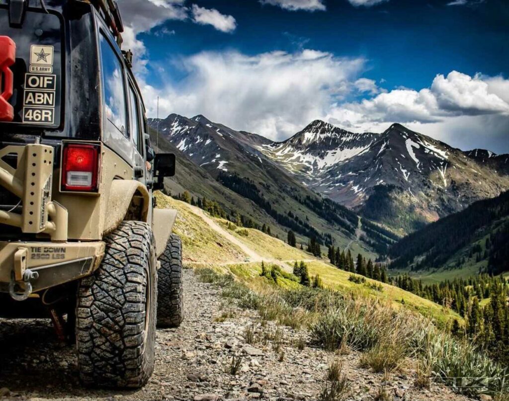
Southeastern Utah near Canyonlands National Park, Arches, and Moab is one of our favorite regions in the western US. The red rock is spectacular, the views are endless, and there’s no shortage of offroad exploration for every overlanding style. We were in Moab in August on our way to Overland Expo Mountain West in Loveland, Colorado. It was an epic trip, and one that we were happy to have the Overland Bound One offroad app in our pocket.
Here are 6 features of the app that totally saved our backsides:

1. Find Location by Photo
As the sun set on day 3 on the outskirts of Moab, we found ourselves turned around and going in circles. All we wanted was to get back to our dispersed camping site from a few days ago. “Find location by photo” saved our a**. All we had to do was click the picture icon on the Overland Bound One map and select any picture that we took of our campsite on night 1. The app opened up the picture’s location on the map and we were on our merry way.
It’s worth noting that even though we had the app open when we took pictures at camp (we always have it open on trips), Overland Bound One doesn’t need to be open when you use your camera for the “find location by photo” feature to work. As long as your device’s location services are turned on for your camera, you can take a picture and drive away knowing that the app will be able to upload location data within 1-3 meters of accuracy.

Overland Bound One Messaging
After a sketchy limp back to camp early in the trip, it was clear that one of the vehicles in our party wasn’t going to make it another day on the trail, let alone all the way to Colorado. We needed a mechanic. We could have consulted Yelp and took the word of a group of strangers whose requirements for a “good” mechanic probably differed from ours.
But we didn’t have to do that because messaging inside Overland Bound One yielded a handful of recommendations for local mechanics. These whole-hearted recommendations came from Overland Bound members who either lived in the area or had been in a similar situation while passing through.
Better than a huge social platform that buys and sells your data in exchange for reviews and commercial recommendations, we got what we needed simply by asking our friends. And we kept our data.


3. Route Planning
Speaking of broken rigs. We came across one coming off White Rim Trail. The driver needed to get to town via the quickest route. But when he consulted the all-seeing eye of Apple and Google, both platforms threw up their robot hands and defaulted to a 90- mile, 2-day drive.
We helped the driver by using Overland Bound One Route Planning, which allowed us to route offgrid and offroad, providing the shortest distance between here and help.

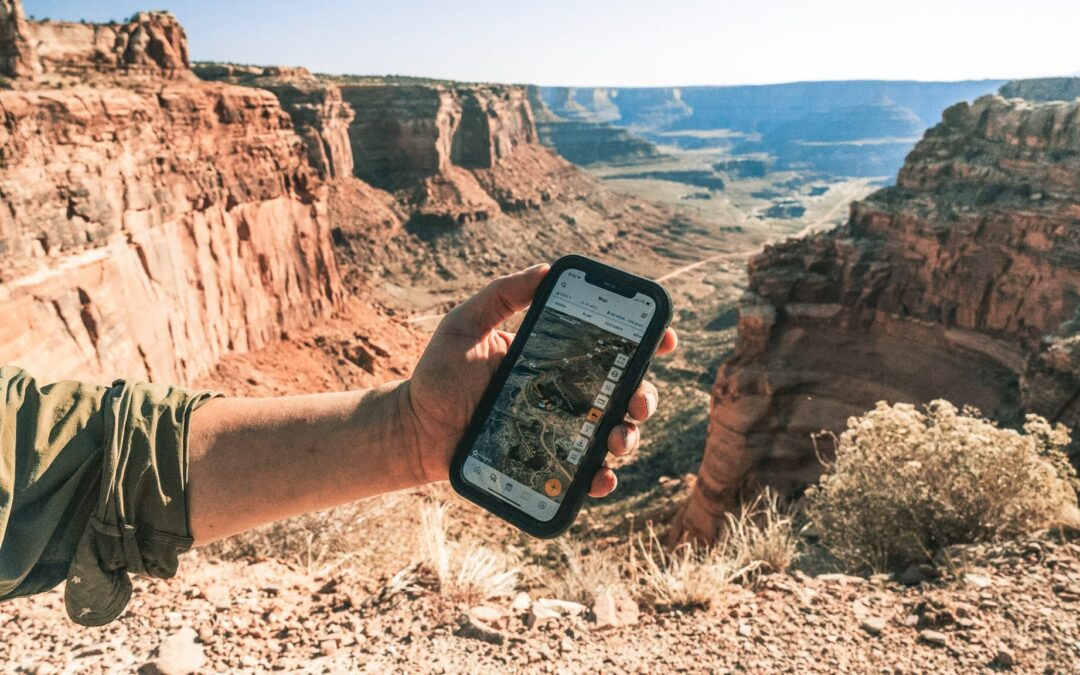
4. Offline Map Download
Very possibly the feature that has historically saved the most a**es in Overland Bound One history. Simple and sweet: offline map download provided critical mapping data for route finding when our plans changed…for the 6th time.
It’s like having an overlanding AAA office in your rig that spits out backcountry TripTiks at will. (Note: If you’re under 35, you won’t remember TripTiks.)

5. Share Location. Ease of Use.
Sharing location with the app is very easy. There are many ways to do it.
Long-press any location on the map to get immediate access to the GPS coordinates, 3 word address, or the share button to share the location details from app to app.
In our case, it was easy over ham radio to just speak the three word address, which is three words separated by dots like predict.forgive.puddles (Moab, UT). It is much easier and more clear to speak three words over ham radio, and enter those words into app search, then to speak a list of GPS coordinates, which is highly error prone.
In addition, any location text in the app in blue text can be tapped to copy it to your clipboard to send in any way you would like!

6. Bonus Feature: Measure Distance
The fastest route out or into backcountry isn’t the same in all dimensions. Four inches on the Overland Bound One app won’t necessarily take the same amount of time as four inches a little farther south. When we needed the fastest route back to camp, we used the Measure Distance feature on the map combined with Enhanced Topo (first selection under Overlays) because that was the best way to check incline.
Elevation gain is easily elusive in two dimensions. Not knowing incline is also one of the surest ways to slow you down when you’re racing daylight.