Advocate III
- 1,493
- First Name
- Haltom
- Last Name
- Family
- Member #
-
6339
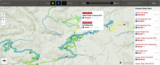
So I follow a popular mountain biking forum and one of the cool things that they have that I don't (or haven't) found here is a sort of trail forum that gives specific directions to get to the trail, the difficulty of the trail and a map of the trail. I think that's a great tool, but I think it could be improved if there were gpx files that could go with it. Looking around, we have the rally point, but I have failed to find a consolidated trails effort.
The idea I have in my head is that a member can submit a trail and another member (ranked member) can acknowledge or approve the trail. Then each member can filter the trails by state and difficulty.
I am a web developer, so if there is interest in this idea, I'd be happy to throw in a helping hand for the team!