
Advocate III
- 5,584
- First Name
- Michael
- Last Name
- Rose
- Member #
20990
- Ham/GMRS Callsign
- W7FSB
- Service Branch
- US ARMY Retired
Thanks @1Louder,Yes it does!
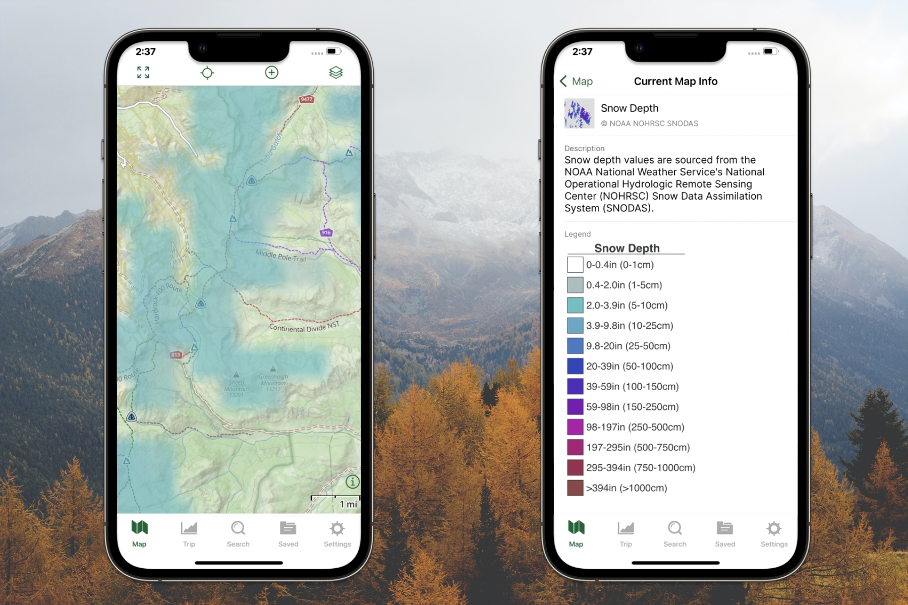
Find Snow-Free Trails with the Snow Depth Map - Gaia GPS
Find the areas with the most snow coverage or avoid snow altogether with our Snow Depth map.blog.gaiagps.com
Avalanche Forecasts - Know Before You Go with the New Avalanche Forecast Layer - Gaia GPS
Plan Your Winter Adventure with the Snowfall Forecast Overlay
and general weather forecasts
Now after looking at all of
These new layers being added, why can’t they port in information from ARPS-IS? Or even ARPS.fi?
One last real question though... is there a Linux version of GAIA? I want to run GAIA in off line mode off of a Linux built Tablet built specifically for SAR and ARES back country response...


