Ask About Gaia GPS!

  • HTML tutorial

1Louder

Rank VI
Launch Member

Member II

4,187
AZ
First Name
Chris
Last Name
K
Member #

1437

Ham/GMRS Callsign
K1LDR
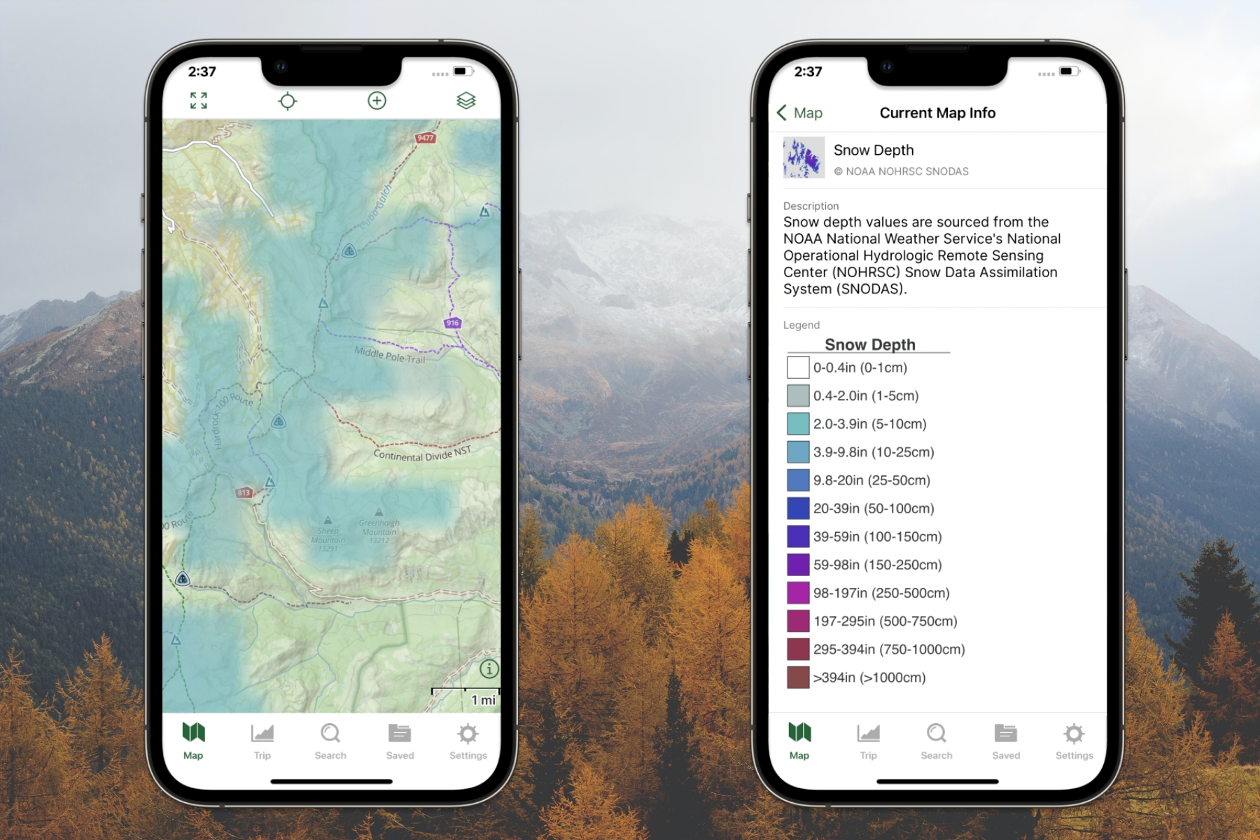
I noticed an odd thing on my map there is a line that is somewhat angular that cuts the topo it is labeled with numbers like 1.5 2.0 show on the boundary of the lines. Not topo. Not even elevation group lines are straight. But irregular.and don’t show up on my old iPad 2 they are on the Gaia base topo? Any ideas?
I think you have Grid Overlay turned on but a screenshot would help. Also need to know what layer(s) you have turned on and general location.
 

Leirbag

Rank III
Launch Member

Enthusiast III

646
San Diego, CA
First Name
Gabriel
Last Name
Wilensky
Member #

24890

I am still wondering if there’s an alternative to getting a dedicated GPS receiver to run Gaia on a WiFi iPad, as the folks at Gaia confirmed they have no plans to implement a method to grab GPS coordinates from an iPhone at this time. But, what about a GPS-enabled Ham radio?
 

Ubiety

Rank VI
Member

Explorer I

5,221
Sammamish, WA, USA
First Name
Greg
Last Name
Ubiety
Member #

6193

Ham/GMRS Callsign
Ribs
I am still wondering if there’s an alternative to getting a dedicated GPS receiver to run Gaia on a WiFi iPad, as the folks at Gaia confirmed they have no plans to implement a method to grab GPS coordinates from an iPhone at this time. But, what about a GPS-enabled Ham radio?
I would give tethering your phone to the iPad to see if that works for you - I assume that would be free for you to try. This is what I used to do and many have reported luck using the Glo or Garmin in reach as an external device. Just remember that getting gps data from a tethered device will lead To lower position accuracy.
 

1Louder

Rank VI
Launch Member

Member II

4,187
AZ
First Name
Chris
Last Name
K
Member #

1437

Ham/GMRS Callsign
K1LDR
I am still wondering if there’s an alternative to getting a dedicated GPS receiver to run Gaia on a WiFi iPad, as the folks at Gaia confirmed they have no plans to implement a method to grab GPS coordinates from an iPhone at this time. But, what about a GPS-enabled Ham radio?
It would have to have Bluetooth and some built in means to communicate with external devices. I have never heard of such a thing but maybe it exists. I know some radios are coming with Bluetooth for headsets.
 
  • Like
Reactions: Ubiety

Ubiety

Rank VI
Member

Explorer I

5,221
Sammamish, WA, USA
First Name
Greg
Last Name
Ubiety
Member #

6193

Ham/GMRS Callsign
Ribs
It would have to have Bluetooth and some built in means to communicate with external devices. I have never heard of such a thing but maybe it exists. I know some radios are coming with Bluetooth for headsets.
I used to do this (get gps from tethered phone) and it worked, accuracy was not so good. Cannot say for sure that I was using Gaia at the time, I assume they pull location data from location services so as long at the iPad thinks it has gps... The new iPad with cell/gps is a real treat!

Have heard many reports that the Glo BT gps device works well with an iPad and recently heard that a Garmin InReach can also do the same. I would pick the Garmin device if I was looking because satcom for emergencies.
 

1Louder

Rank VI
Launch Member

Member II

4,187
AZ
First Name
Chris
Last Name
K
Member #

1437

Ham/GMRS Callsign
K1LDR
I’m not sure how many times it needs to be repeated but tethering an iPhone to an iPad for GPS data does NOT work. Go where there is no WiFi in the woods, tether your iPad to your phone and see what happens. There are lots of articles on the internet stating this. I believe Gaia GPS mentions this on its support website. MotionX does as well. A few posts up someone mentioned a work around app but Gaia does not support it.

Simply put if you have a WiFi only iPad you need a dedicated Bluetooth GPS “puck” like a Garmin Glo or Dual GPS. Or you can use a Garmin InReach but then the InReach becomes tied to that iPad. Meaning when you want to send and read messages on a device they will go to the iPad vs your phone.

I think the InReach is well worth its price but others may not have the budget for that.


HeliSniper

Rank VI
Launch Member

Influencer I

3,341
Dallas, Texas
First Name
Brad
Last Name
S
Member #

5697

I am still wondering if there’s an alternative to getting a dedicated GPS receiver to run Gaia on a WiFi iPad, as the folks at Gaia confirmed they have no plans to implement a method to grab GPS coordinates from an iPhone at this time. But, what about a GPS-enabled Ham radio?
I am a pilot and I have used my Bad Elf for many years while flying as well as overlanding. It connects via Bluetooth and I have had up to 4 devices connected at once with no failure and very accurate data. While on the trail I have my iPhone, and iPad connected to it and get great data on Gaia with or without cell service.
1586879820476.png
 

Leirbag

Rank III
Launch Member

Enthusiast III

646
San Diego, CA
First Name
Gabriel
Last Name
Wilensky
Member #

24890

1Louder, it was me that said above there was a way to pass GPS coordinates to the WiFi iPad from an iPhone, and it was me that said that GaiaGPS will not support that method. I am aware that the simple way to do this is to buy a dedicated GPS receiver like Garmin or Bad Elf, but I was trying to avoid the expense and the need for yet another device. Thus my question about getting GPS coordinates our of a Ham radio as an alternative, assuming we have a Ham radio that has a built-in GPS receiver...
 

1Louder

Rank VI
Launch Member

Member II

4,187
AZ
First Name
Chris
Last Name
K
Member #

1437

Ham/GMRS Callsign
K1LDR
1Louder, it was me that said above there was a way to pass GPS coordinates to the WiFi iPad from an iPhone, and it was me that said that GaiaGPS will not support that method. I am aware that the simple way to do this is to buy a dedicated GPS receiver like Garmin or Bad Elf, but I was trying to avoid the expense and the need for yet another device. Thus my question about getting GPS coordinates our of a Ham radio as an alternative, assuming we have a Ham radio that has a built-in GPS receiver...
I am not arguing that point or your question. It is the posts which keep stating you can tether the iPhone which are inaccurate and could cause someone an issue.
 

steveca4

Rank II
Launch Member

Enthusiast I

404
Ste Anne, Manitoba, Canada
First Name
Steven
Last Name
Denault
Member #

22803

I agree with taking the time to learn Gaia especially for off road travel. However before I get serious about learning and using Gaia (or paying for the annual fee) I have a question. The new app that Overland Bound came out with: is it a replacement for Gaia? I don't understand if the new app is doing what Gaia does or it more of a community gathering app.
 

1Louder

Rank VI
Launch Member

Member II

4,187
AZ
First Name
Chris
Last Name
K
Member #

1437

Ham/GMRS Callsign
K1LDR
I agree with taking the time to learn Gaia especially for off road travel. However before I get serious about learning and using Gaia (or paying for the annual fee) I have a question. The new app that Overland Bound came out with: is it a replacement for Gaia? I don't understand if the new app is doing what Gaia does or it more of a community gathering app.
IMHO the new app will offer some of the mapping features but I doubt it will be as robust. It will also take time to develop and mature. Gaia has very high quality maps which they pay for and then “you” as the end user pay in the form of the subscription. If you are worried they will be equal pay for Gaia for only a year.

The main difference you might see is curated content in the OB app. Meaning a list of trails traveled by OB members will start to appear. With that said I will let the OB founders speak to what it’s app will or will not do.

On a side note:
OnX (competitor to Gaia) is doing a ton of marketing for its new Off Road Version it is nowhere close to what Gaia can do. Far less maps, can’t import tracks from the app, on and on. Lots of promises and yet to deliver.

I mention this because while I think the OB app will be great when it is ready to go live it takes a ton of work to develop a robust functional app, talented developers, and a lot of money. Don’t be fooled by marketing hype.
 

wigsajumper

Rank V
Launch Member

Advocate I

1,515
Maine, USA
First Name
Aaron
Last Name
Wiggin
Member #

21594

Service Branch
US Army
I have a .KML file I downloaded from a Google Earth Project. It is a has a collection of legal camping sites in North Maine Woods and surrounding areas. When you click on the waypoint it lists the number of sites, if you need a fire permit, water availability, type of bathroom.

When imported into GAIA Maps those notes are still there but now they have html language in the notes. If I convert KML to GPX the notes disappear. I tried importing the KML by both the android app and the Website with the same results. Is there an issue with the KML file? GAIA Map doesn't like html coding? Is there a way to convert from KML to GPX without losing the waypoint notes?
 

1Louder

Rank VI
Launch Member

Member II

4,187
AZ
First Name
Chris
Last Name
K
Member #

1437

Ham/GMRS Callsign
K1LDR
I have a .KML file I downloaded from a Google Earth Project. It is a has a collection of legal camping sites in North Maine Woods and surrounding areas. When you click on the waypoint it lists the number of sites, if you need a fire permit, water availability, type of bathroom.

When imported into GAIA Maps those notes are still there but now they have html language in the notes. If I convert KML to GPX the notes disappear. I tried importing the KML by both the android app and the Website with the same results. Is there an issue with the KML file? GAIA Map doesn't like html coding? Is there a way to convert from KML to GPX without losing the waypoint notes?
There are free tools to convert the file formats. Try gpsvisualizer. Michael from OB did a video on how he uses Google Earth and Gaia. I don’t use it so I can’t help further.

Google earth may put in some hidden data that Gaia doesn’t like in KML format. Common to have small quirks going from different apps. I use two apps on my Mac to view files. One doesn’t like certain import files.
 
  • Like
Reactions: wigsajumper

wigsajumper

Rank V
Launch Member

Advocate I

1,515
Maine, USA
First Name
Aaron
Last Name
Wiggin
Member #

21594

Service Branch
US Army
There are free tools to convert the file formats. Try gpsvisualizer. Michael from OB did a video on how he uses Google Earth and Gaia. I don’t use it so I can’t help further.

Google earth may put in some hidden data that Gaia doesn’t like in KML format. Common to have small quirks going from different apps. I use two apps on my Mac to view files. One doesn’t like certain import files.
Thanks. GPSVisualizer lost the notes when converting from KML to GPX also. I think I will just edit out the HTML Code in the notes on GAIA. Good little project to do while I am at work. Thank again
 
  • Like
Reactions: HeliSniper

1Louder

Rank VI
Launch Member

Member II

4,187
AZ
First Name
Chris
Last Name
K
Member #

1437

Ham/GMRS Callsign
K1LDR
I just posted an article on comparing Gaia GPS to OnX Offroad and Gaia vs the Garmin Overlander. Short version. Gaia still wins. I will keep watching for changes to OnX and the Overlanding and will edit this article as required. Regardless of all of the marketing hype from OnX the app is in its infancy and has a long way to go.


1Louder

Rank VI
Launch Member

Member II

4,187
AZ
First Name
Chris
Last Name
K
Member #

1437

Ham/GMRS Callsign
K1LDR
Thanks. GPSVisualizer lost the notes when converting from KML to GPX also. I think I will just edit out the HTML Code in the notes on GAIA. Good little project to do while I am at work. Thank again
I sent @wigsajumper a private message. I think we have it all fixed. Just waiting to hear back. When converting from KML to GPX there can be issues. There are a lot of free tools to do so. The first one did not work. The 2nd one, Kml2gpx.com: convert kml to gpx online. It's free, simple and fast seemed to do the trick. As a best practice I try to review any publicly sourced tracks on my Mac locally before I upload to Gaia GPS. I have used ADZE for many years. There is now a new app called GPX Editor ($4.99) that seems pretty good. I am new to it though. These desktop tools provide a nice overview and allow you to edit the Meta data in the tracks. Things like time and speed which are not necessarily relevant depending on the source. They can also "smooth" the data out. Meaning if the tracks has a ton of points like over 20,000 you can reduce that to reduce the file size.

@wigsajumper sent me his KML file and then I used the above method to convert everything and give it a try. Thanks for the kudos. I help when I can. For those that want to say thanks you can always pay for your Gaia membership subscription through my website. It is slightly more expensive than the OB offer but I make a few bucks on each subscription.

Thanks!
 

Downs

Rank V
Launch Member

Member III

2,827
Hunt County Texas
First Name
Joshua
Last Name
Downs
Member #

20468

Ham/GMRS Callsign
KK6RBI / WQYH678
Service Branch
USMC 03-16, FIRE/EMS
Working on the online map. I can't "hide" other tracks or routes like I can on my phone. Am I missing something. Makes for a lot of clutter when planning a trip to an area I've been before.
 

1Louder

Rank VI
Launch Member

Member II

4,187
AZ
First Name
Chris
Last Name
K
Member #

1437

Ham/GMRS Callsign
K1LDR
Working on the online map. I can't "hide" other tracks or routes like I can on my phone. Am I missing something. Makes for a lot of clutter when planning a trip to an area I've been before.
This article may help you, Find Your Saved Items on the Map with a New Sidebar - Gaia GPS

You can read through some older posts a couple of pages back where this was discussed. If you have your data in a folder and open the folder only the data in that folder will appear. BUT! If you go to the fullscreen map all of your data shows. It is an annoyance and I have made a public comment in the Gaia GPS community forum. Feel free to add to that discussion. Only show current folder data when going to full screen mode
 

M Rose

Local Expert
Mod Team
Member

Advocate III

5,584
Northeast Oregon, United States
First Name
Michael
Last Name
Rose
Member #

20990

Ham/GMRS Callsign
W7FSB
Service Branch
US ARMY Retired
In CalTopo I can layer SnoTel data collection sights onto the map so I can see snow levels at different weather stations. These data collection sights update every hour or so on the map screen (With internet connection of corse). Does Gaia have weather layers that I’m overlooking?
 

1Louder

Rank VI
Launch Member

Member II

4,187
AZ
First Name
Chris
Last Name
K
Member #

1437

Ham/GMRS Callsign
K1LDR
In CalTopo I can layer SnoTel data collection sights onto the map so I can see snow levels at different weather stations. These data collection sights update every hour or so on the map screen (With internet connection of corse). Does Gaia have weather layers that I’m overlooking?
Yes it does!

Avalanche Forecasts - Know Before You Go with the New Avalanche Forecast Layer - Gaia GPS

Plan Your Winter Adventure with the Snowfall Forecast Overlay

and general weather forecasts