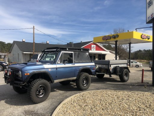
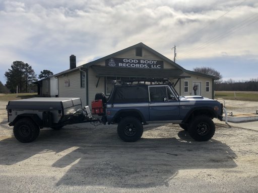
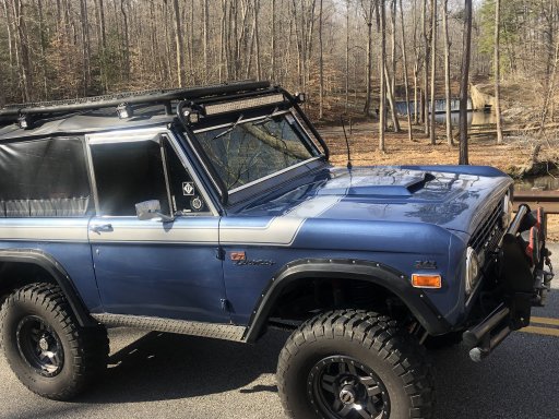
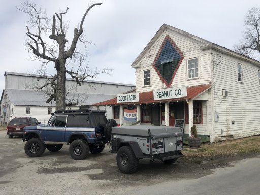
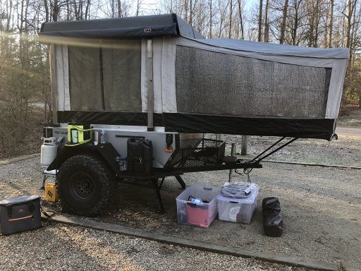
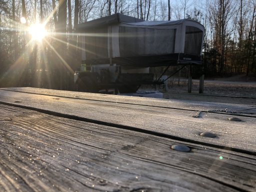
Enthusiast I
Last weekend my wife and I drove up to Richmond Va. 5hr drive to a Bronco club meet and greet. On the way home we decided to take a short detour and drive a portion of the Trans America Trail (TAT). I had already downloaded the GPS tracks for the Atlantic spur from the Trans America Trail website. We picked up the trail just west of Alberta Va. Starting point for us was Dot’s Country Store Lat: 36.90485 Lon: -77.95976 Great food and a good place to fuel up. We then just followed the GPS tracks southeast toward Emporia. We usually try and take back roads whenever time permits on our trips it was interesting following a route someone else planned ahead. All the roads on this portion were paved, most were narrow with no center line markings. The route keeps you very busy, you must stay alert not to miss the next turn. We left the route just before we got to Emporia to take a detour to Skippers Va. to a favorite stop of ours off Interstate 95 “Good Earth Peanut Company” Lat: 36.61205 Lon: -77.54690. We drove a total of 40 miles of the trail and really enjoyed the ride. Look forward to driving more portions of the trail in the future. Hopefully will find some unpaved sections.