Paper maps? still a thing or no?

  • HTML tutorial

beachdude93

Rank 0

Traveler I

60
PA, USA
First Name
jake
Last Name
zimmerman
So i recently found this Battle Board on an ad on instagram

and because im a delusional hopeless consumer I was thinking about traditional paper maps. What are your guys opinions on paper maps? Are they still heavily in use (in the US) or has GPS all but pretty much replaced the maps?

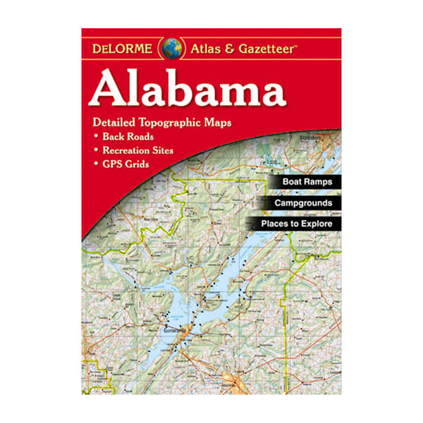
Are there map brands off roaders trust more than others?
 
  • Like
Reactions: Kent R

Correus

Rank V
Launch Member

Member III

2,741
Belle Plaine, Kansas, 67013
Member #

1184

Absolutely a "thing"!!! Electronic gizmos have issues - the main one being power. If you loose power and have no way to power it up you're dead in the water. If there is break in service - you're dead in the water. If you end up in an area that doesn't provide service - you're dead in the water.

A gazetteer is your best bet. I have rarely used a GPS except when city driving.
 

beachdude93

Rank 0

Traveler I

60
PA, USA
First Name
jake
Last Name
zimmerman
Absolutely a "thing"!!! Electronic gizmos have issues - the main one being power. If you loose power and have no way to power it up you're dead in the water. If there is break in service - you're dead in the water. If you end up in an area that doesn't provide service - you're dead in the water.

A gazetteer is your best bet. I have rarely used a GPS except when city driving.
a WHAT
 

El-Dracho

Ambassador, Europe
Moderator
Member
Supporter
Investor

Inventor I

13,232
Lampertheim, Germany
First Name
Bjoern
Last Name
Eldracher
Member #

20111

Ham/GMRS Callsign
DO3BE
That's an exciting question and you'll get many different answers. We had this discussion recently at the virtual OB Europe campfire. There are many people who only navigate digitally and others who also use paper maps. I am an absolute paper hater. If a company sends me a letter or an invoice by mail, for example, I freak out! !! But i love paper maps, haha! I like them just to browse, to plan, to have a good overview, e.g. of a large region or a continent. And of course always as backup on board! Both on longer trips and at home in the area. Or as hiking maps for hikes.

A funny story about this. I was once looking for a road atlas in Russia. In Irkustk, near Lake Baikal, I asked someone in a car parts store if he could please tell me where I could get one or a paper map. The answer was astonished: "Don't you have a gps navgation device in your car?" haha... but of course he showed me where I could get the map.
 

genocache

Rank V
Launch Member

Advocate I

1,872
Boulder Creek, CA, USA
First Name
gene
Last Name
L
Member #

24181

You don't need battle board. Just ; DeLorme Atlas & Gazetteer | Garmin or the other brand I can't think of right now to take with you and research on GooooooooooooooogleEarth and your gazetteer.
You can get Topo maps from USGS if you need that or for some places like Death Valley, Nat Geo makes good maps.

Interesting to see the first 3 responses are from Land Rover Owners..............
 

beachdude93

Rank 0

Traveler I

60
PA, USA
First Name
jake
Last Name
zimmerman
A gazetteer. They are similar to USGS maps, but a bit more friendlier to use. They map all the way down to cow paths. Virtually every fine detail known in an area is marked. The are not necessarily cheap and some States, such as Texas and Alaska, require a few volumes to cover the State.
any good brands?
 

beachdude93

Rank 0

Traveler I

60
PA, USA
First Name
jake
Last Name
zimmerman
You don't need battle board. Just ; DeLorme Atlas & Gazetteer | Garmin or the other brand I can't think of right now to take with you and research on GooooooooooooooogleEarth and your gazetteer.
You can get Topo maps from USGS if you need that or for some places like Death Valley, Nat Geo makes good maps.

Interesting to see the first 3 responses are from Land Rover Owners..............
this is great. However im worried about the fixed nature of this. my state is for example a 2019 copyright which is 2 years ago. Some states are back in the 90s

Are there companies that update every year or is it just such a huge amount of work to put these together that you get what you get?
 

Correus

Rank V
Launch Member

Member III

2,741
Belle Plaine, Kansas, 67013
Member #

1184

You don't need battle board. Just ; DeLorme Atlas & Gazetteer | Garmin or the other brand I can't think of right now to take with you and research on GooooooooooooooogleEarth and your gazetteer.
You can get Topo maps from USGS if you need that or for some places like Death Valley, Nat Geo makes good maps.

Interesting to see the first 3 responses are from Land Rover Owners..............
I compared the DeLorme gazetteer for my area with the USGS map for my area - I was surprised that tge gazetteer was better in several respects.
 
  • Like
Reactions: Road and DevilDodge

DevilDodge

Rank IV

Advocate I

1,135
Altoona, Pennsylvania, USA
First Name
David
Last Name
Spencer
@beachdude93

Just seen you are from PA. Each state forest has a free day use map you can get. Then if the area has a purple lizard map get that. Then the atlas to connect them all.

I have many threads here showing places to go...i get to all of them with a paper map
 
  • Like
Reactions: Road

genocache

Rank V
Launch Member

Advocate I

1,872
Boulder Creek, CA, USA
First Name
gene
Last Name
L
Member #

24181

this is great. However im worried about the fixed nature of this. my state is for example a 2019 copyright which is 2 years ago. Some states are back in the 90s

Are there companies that update every year or is it just such a huge amount of work to put these together that you get what you get?
Or is it that some States don't change..............
 

Correus

Rank V
Launch Member

Member III

2,741
Belle Plaine, Kansas, 67013
Member #

1184

this is great. However im worried about the fixed nature of this. my state is for example a 2019 copyright which is 2 years ago. Some states are back in the 90s

Are there companies that update every year or is it just such a huge amount of work to put these together that you get what you get?
Last I knew DeLorme updated every year or every other year, just depends. Most features do not change, or at least don't change that fast.

Would you rather worry about a slight feature change, or not having road repair updates live, than having an actual map? If the power, the internet, or even satellite systems go down you are stuck. There are parts of the country that electronic systems just do not work well.
 

beachdude93

Rank 0

Traveler I

60
PA, USA
First Name
jake
Last Name
zimmerman
Last I knew DeLorme updated every year or every other year, just depends. Most features do not change, or at least don't change that fast.

Would you rather worry about a slight feature change, or not having road repair updates live, than having an actual map? If the power, the internet, or even satellite systems go down you are stuck. There are parts of the country that electronic systems just do not work well.
agreed but im just asking
 
  • Like
Reactions: Correus

DMS1

Rank III

Advocate I

816
San Dimas
First Name
Dave
Last Name
Schmitz
I print out USGS maps of where I will traveling and use them with my Garmin 700i and Tablet with Gaia.