GPS unit Reviews

  • HTML tutorial

murps

Rank V
Launch Member

Advocate II

2,309
Denver, CO, USA
First Name
d
Last Name
m
Member #

0711

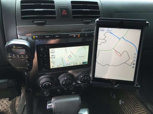
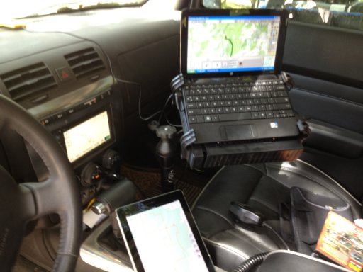
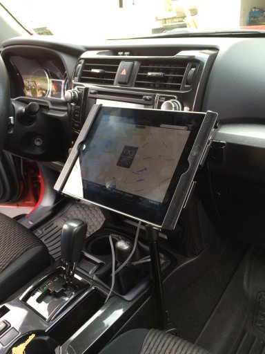
Good morning all. I would love to hear what everyone is using as their GPS units. Google maps can only get me so far .

1. What are the pros of your unit?
2. What are the cons, or things you wish it did?
3. How much was it and where did you purchase it?
4. Can you load custome trials/locations into it?

Any other info that I missed but should be included in a quality unit ?
 

Nomad

Rank III

Enthusiast III

868
I use Canada Topo for my android phone it just works...
Pros - free-free-free / Cons wish maps were more detailed when zoomed in...
Note 4 $800+ Telus ouch but sure is nice and does almost everything I want only runs some movies 90% dont run but thats an android problem
Yes you can pre load locations..
 
  • Like
Reactions: murps

dagen

Rank IV
Launch Member

Advocate II

1,392
Oakland, CA
Member #

0761

I have been using Garmin for years. Currently running a Garmin Oregon 650. It's just the right size in my mind for portability, and screen size for the cost. You can upload tracks, record tracks, upload custom maps, etc. . .
I really like that I can use it in my vehicle and then also transition to carry it with me when hunting, hiking, exploring, etc. . . The touch screen is invaluable, especially with everything being touch screen these days. I had an old Garmin E-Trex and it was horrible using the little joystick to navigate menus, type things out, etc. . .

For cons, if you want to have city traffic navigation (ie. turn by turn) and even to have the BLM roads listed you have to buy separately the Garmin City Navigator map. I think it's about $100. So bummer to have to spend the extra, but it's a one time purchase. Also, if I were using it for just car I would consider the Montana model. It has a larger screen size and you can get an auto mount adapter with a speaker built in.

I bought mine from Amazon, $329.
Here's a link to all the details from Garmin's website: https://buy.garmin.com/en-US/US/into-sports/hiking/oregon-650/prod113520.html
 

murps

Rank V
Launch Member

Advocate II

2,309
Denver, CO, USA
First Name
d
Last Name
m
Member #

0711

I use Canada Topo for my android phone it just works...
Pros - free-free-free / Cons wish maps were more detailed when zoomed in...
Note 4 $800+ Telus ouch but sure is nice and does almost everything I want only runs some movies 90% dont run but thats an android problem
Yes you can pre load locations..
Does this require data or service for the device? The problem with using my android phone is it becomes a paperweight when there is no longer service.
 

murps

Rank V
Launch Member

Advocate II

2,309
Denver, CO, USA
First Name
d
Last Name
m
Member #

0711

I have been using Garmin for years. Currently running a Garmin Oregon 650. It's just the right size in my mind for portability, and screen size for the cost. You can upload tracks, record tracks, upload custom maps, etc. . .
I really like that I can use it in my vehicle and then also transition to carry it with me when hunting, hiking, exploring, etc. . . The touch screen is invaluable, especially with everything being touch screen these days. I had an old Garmin E-Trex and it was horrible using the little joystick to navigate menus, type things out, etc. . .

For cons, if you want to have city traffic navigation (ie. turn by turn) and even to have the BLM roads listed you have to buy separately the Garmin City Navigator map. I think it's about $100. So bummer to have to spend the extra, but it's a one time purchase. Also, if I were using it for just car I would consider the Montana model. It has a larger screen size and you can get an auto mount adapter with a speaker built in.

I bought mine from Amazon, $329.
Here's a link to all the details from Garmin's website: https://buy.garmin.com/en-US/US/into-sports/hiking/oregon-650/prod113520.html
This is great, thank you
 

Lars

Rank V
Launch Member

Advocate II

2,093
Wyldwood, TX
Member #

0654

I have an Ancient Garmin ETrex Legend that's my backup, to the backup, to the backup.
The primary unit is a Garmin Nuvi 2559LMT, which works great for trips down the highway. It's practically worthless once the road isn't considered a road.

I have a Byonics GPS-4 in the truck, which is just a GPS with a serial port on the remote end. It's almost always just connected to the APRS transmitter, however I have connected it to my laptop with Google Earth pulled up in the past.

Finally, I've got phones from two providers. In general I'm commenting here, because I'm in the market for a good off road GPS, and figure this will subscribe me to topic updates :)
 

TreXTerra

Rank V
Launch Member

Advocate II

2,779
Salt Lake City, Utah
Member #

1028

Garmin Nuvi 500:

Pros:
  • Compact size
  • Water resistant
  • Includes a replaceable rechargeable battery so you can take it hiking with you
  • Topographical maps
Cons:
  • Older unit with limited features by today's standards (no lane directions, photographs of destinations, etc)
  • Topo maps don't work when you are in "Driving mode" only when you are browsing the map
  • Slow
  • Small screen size is a problem for some and suboptimal for overland navigation when you need to see the surrounding topography
  • Locked into Garmin's expensive maps that are not great for overland travel. Getting new topo maps is a challenge as they are not easily found on the Garmin website.
3. How much was it and where did you purchase it?
  • Best Buy or REI. I honestly don't recall how much it was because it was so long ago. It doesn't matter because you can't buy this unit anymore anyway.
4. Can you load custome trials/locations into it?
  • All I've done is save custom waypoints when I'm at that location. I do most my route planning on the computer at home and with a paper map when I'm on the trail. The GPS is nice to get a location fix, to get directions to the hotel at night, or just to marvel at our current altitude. It's a backup navigation tool in most cases, not something I rely on.
I really hope that Hema follows through on their North American expansion for their GPS units. I've heard great things about them in Australia and I think Garmin needs to be challenged in the off road segment.
 

Lifestyle Overland

Rank VI
Founder 500
Member

Pathfinder II

4,387
United States
First Name
Kevin
Last Name
McCuiston
Member #

0102

Great topic!

I'm in a bit of a flux as far as GPS is concerned. I have used the Garmin Montana for the past 5 years and it's done a great job. The ability to jump out and take it along on a hike or hunting trip was just what I needed. When paired with the land ownership maps from OnXmaps it takes the question out of what's private vs. public land. This is especially helpful when overzealous ranchers try to run you off of BLM or State Land. The biggest complaint I have is that the software (Basecamp) is a bit clunky as far as user interface and route planning is concerned.

Last year we acquired a DeLorme inReach Explorer specifically for the SOS function. As a stand alone navigation and texting unit, it's a very time consuming unit to use. When paired with a smartphone via bluetooth, the DeLorme's capabilities are MUCH more user friendly. No more joystick... one. letter. at. a. time. process. When linked, you get the standard text keyboard as well as drop down menus to access the device real-time. The ability to text and share locations on social media is handy when you don't have cell service.
As with the Garmin unit, the Earthmate software is a bit clunky thought admittedly much better than Basecamp. The trip planning still has me a bit confused, but to be fair, I've not invested a ton of time in it. I couldn't figure out how to click on a starting point, then on a destination, and make it map out by following the trail. It would simply draw a straight line... so you had to click at every bend and turn down the trail to map it out and get an accurate track length. Maybe they have updated the software in the past few months, but I wasn't able to get it to perform the way I would have liked. (Delorme users feel free to chime in and teach this grasshopper.)

Ideally, I want a 7-9" tablet, fixed to a Ram Mount on which I can pre-map tracks with relative ease. I'm hoping I can come up with a solution using the DeLorme in tandem with the tablet and pack away any extra navigation equipment. I just haven't found a solution that I love yet.
 

MA_Trooper

Rank VI
Launch Member

Influencer II

3,969
Methuen, MA
First Name
Chris
Last Name
BRV
Member #

0520

I use my iPhone with MotionX. With MotionX, I can download the tiles I need from my favorite map source. The GPS does not require data to function. If you don't download the map tiles for the app to use, then data is required to download and cache map tiles live.
I can also create a route, save it in a .gpx and import it to MotionX.
 

murps

Rank V
Launch Member

Advocate II

2,309
Denver, CO, USA
First Name
d
Last Name
m
Member #

0711

Great topic!

When paired with the land ownership maps from OnXmaps it takes the question out of what's private vs. public land. This is especially helpful when overzealous ranchers try to run you off of BLM or State Land.
Is there a story there!? I never actually thought about that, good point to look for.
 

Lifestyle Overland

Rank VI
Founder 500
Member

Pathfinder II

4,387
United States
First Name
Kevin
Last Name
McCuiston
Member #

0102

Is there a story there!? I never actually thought about that, good point to look for.
@dmurph1996 I've not had any bad confrontations myself, just ranchers trying to play tough and tell me to "get off their lawn". When I call their bluff by politely telling them I'm on public land they have backed down. It's almost comical how protective they are of 20,000 acres of mostly barren land.

Other friends have been threatened with a call to law enforcement, to which they have replied; "We'll be glad to wait... would you like us to call?".
 
  • Like
Reactions: murps

vicali

Rank IV

Advocate II

1,113
I run Nuvi's in both rigs, a 265T in the Tacoma and a 2455LT in the Forester.

For me the key is ease of use, I appreciate that they are there, always running, out of the way. I don't need to set them up, or have a bunch of wires hanging everywhere (they are both hardwired through the defrost vents), and if my wife is driving and needs directions she can use them too.

If we are going out of town I'll switch them over to topo (Canada Topo) to get contours lakes and gravel roads.. It's not current , or crowd sourced like the BackRoads Mapbook data, but I've got hardcopies of those in both vehicles.

In the future I may be moving to Gaia on an iphone/ipad - but it's hard to beat the simplicity of the Nuvi.
Plus I've got little Tacoma and Forester .srf vehicles right there on the screen :smiley:
 
  • Like
Reactions: murps

MarkW

Rank V
Launch Member

Advocate II

2,566
Member #

773

I have been running Galileo on my iPad for a couple of years now. I have a data plan on the iPad but you can preload your maps to work either online or off. Great for importing importing and recording routes. Been very happy with it. Have a RAM mount on the dash which attachments for either my iPad mini (pictured) or regular iPad. Used to run a laptop on a RAM mount with mapping software but it took up too much room on the passenger side and would have been an issue if the airbag were to go off.

NAV.JPG

OldNav.JPG
 

Robert OB 33/48

Rank VI
Founder 500
Member

Pathfinder III

4,697
Gaanderen
First Name
Robert
Last Name
Keim
Member #

0033

Hello Iam using a Panasonic Toughbook CF-19.
Running on it for navigation;
1. MapPoint by Microsoft. Main Programm
2. TTQV-4/ Garmin compatible
3. Memory Maps 6

Works fine.
pro's
1. 10" screen
2. ruggedized
3. tablet and laptop
4. touchscreen

Cons
1. New isnt an option, bought it second hand. new is 3000 euro's
2. accesoires are very expensive

Greetings from Robert
 

Lipek

Rank V
Launch Member

Pathfinder I

1,918
I'm using Gaia on my 1st Gen IPad with bad elf pro GPS receiver. I have been using Gaia since their creation and love everything about it. It has plethora of different style maps and accepts all kinds of map files.
ImageUploadedByTapatalk1450627645.011963.jpg

ImageUploadedByTapatalk1450627663.829707.jpg
 

WUzombies

Rank V
Launch Member
Supporter

Advocate II

2,261
Central Texas
Member #

0703

I use an iPad mini with a BadElf GPS antenna so I have true GPS connectivity, running the Garmin USA app for navigation and Topo with pre-downloadable USGS scans.

Pro: cheap if you have a tablet laying around (they make antennas for android based tablets)

Con: limited to certain apps, I wish the Delorme's USA mixed system (topo, street, nav all together) was available. Mom thinking of mounting a laptop to do just that and use the iPad with a Bluetooth OBD-II connection for vehicle monitoring.

image.jpg