

I am planning a trip to GA and going to take the opportunity to take the Ga traverse. I am going west to east and only plan on completing about half of the trail. I would like to at least make it to the iron bridge general store. I know that stops between the AL line and there will vary for everyone but how long will it take? I will have kids and possibly our dogs with us and plan on stopping at the overlooks along the way. Any info will be helpful. Thanks!
Attachments
-
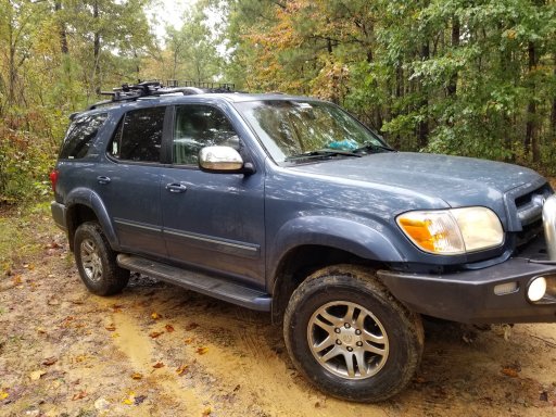 810.7 KB Views: 33


