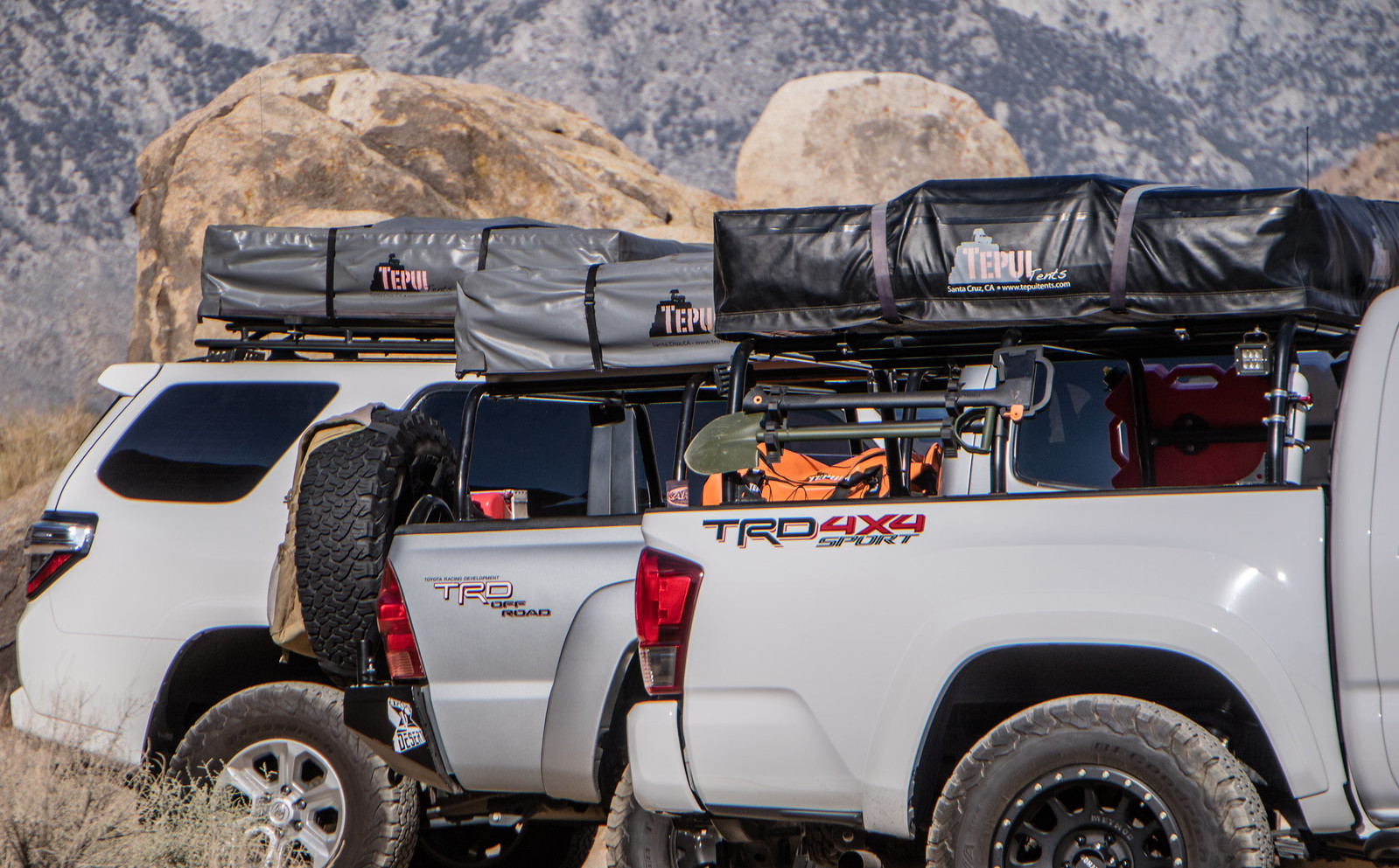
This trip to the Eastern Sierras was originally planned to take place last summer as a way for us desert dwellers to escape the heat. But as our departure time grew closer, personal plans began to change and ended up not working out. In a way, it was better that way - giving me time to refine the trip to best utilize our time. And now, looking back, it would have been mostly disorganized chaos compared to the epic trip we just had. This trip wasn't without change though - what originally started out to include our entire group slowly dwindled down. 6 vehicle and 14 people reduced to 3 vehicles and 4 people. In addition, the girls decided to stay home so that meant only one thing... Man trip. :friday:
Our newly found freedom allowed for some welcomed flexibility - leaving a day early, more diverse camping spots and the ability to cover ground more efficiently. This ended up turning into a win, win, win situation!
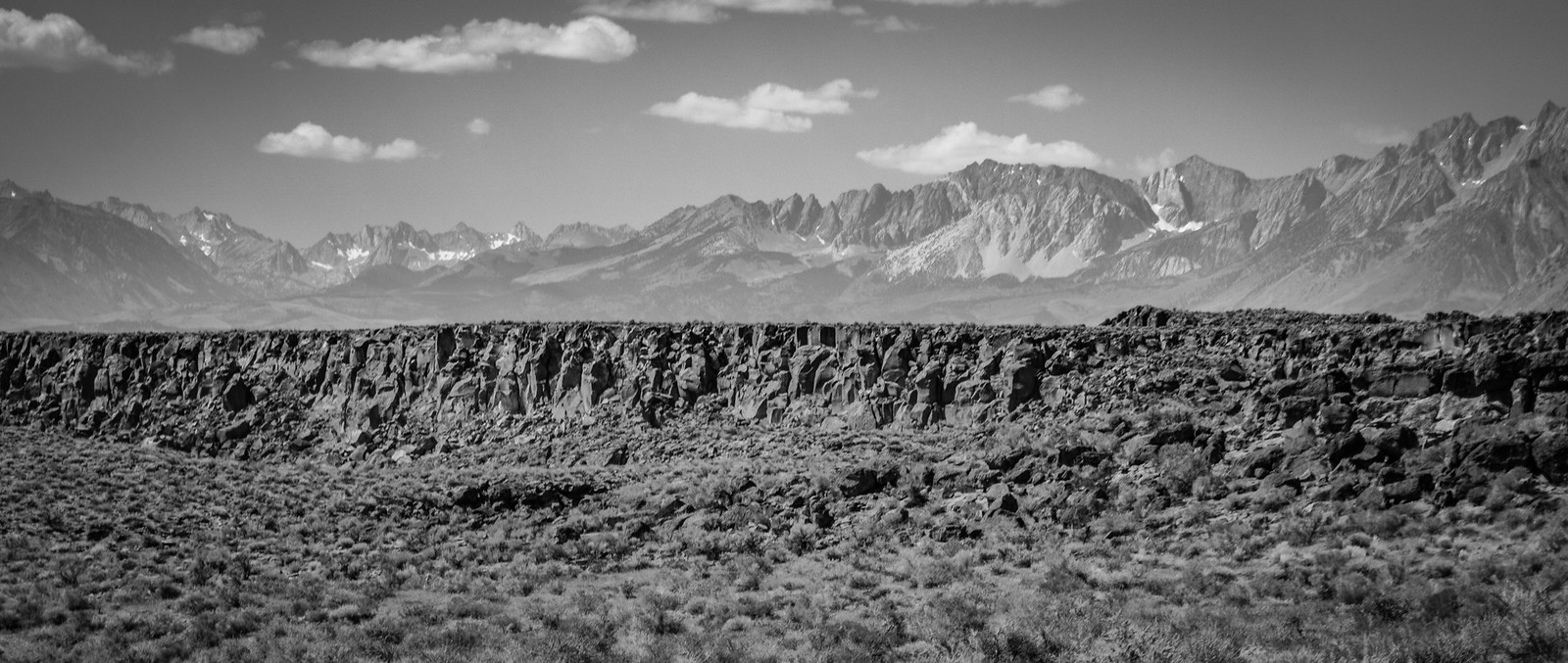
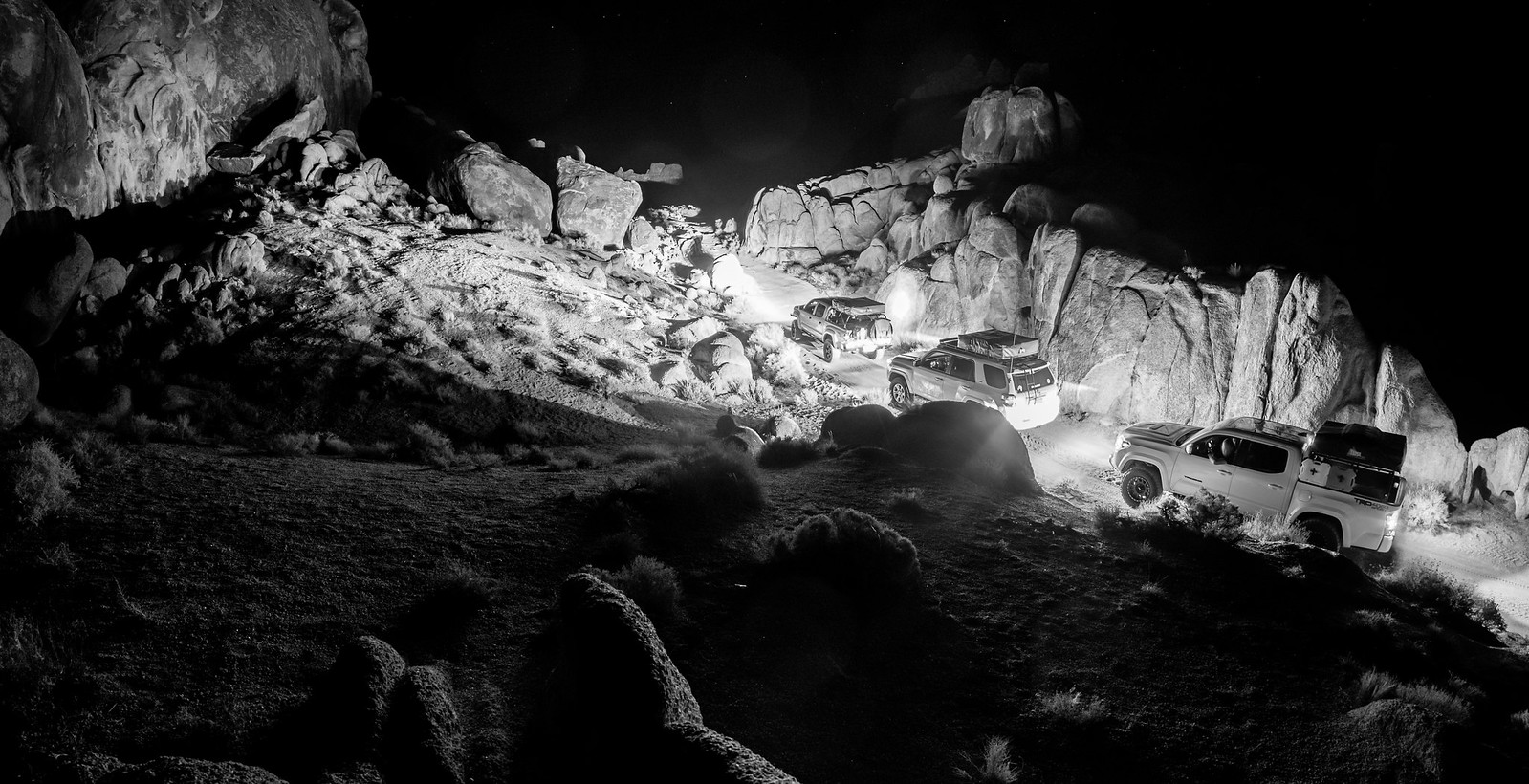
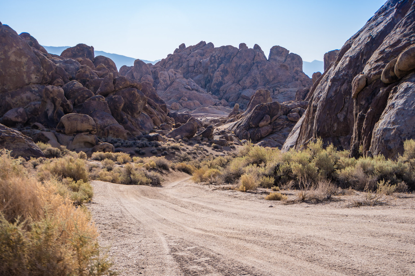
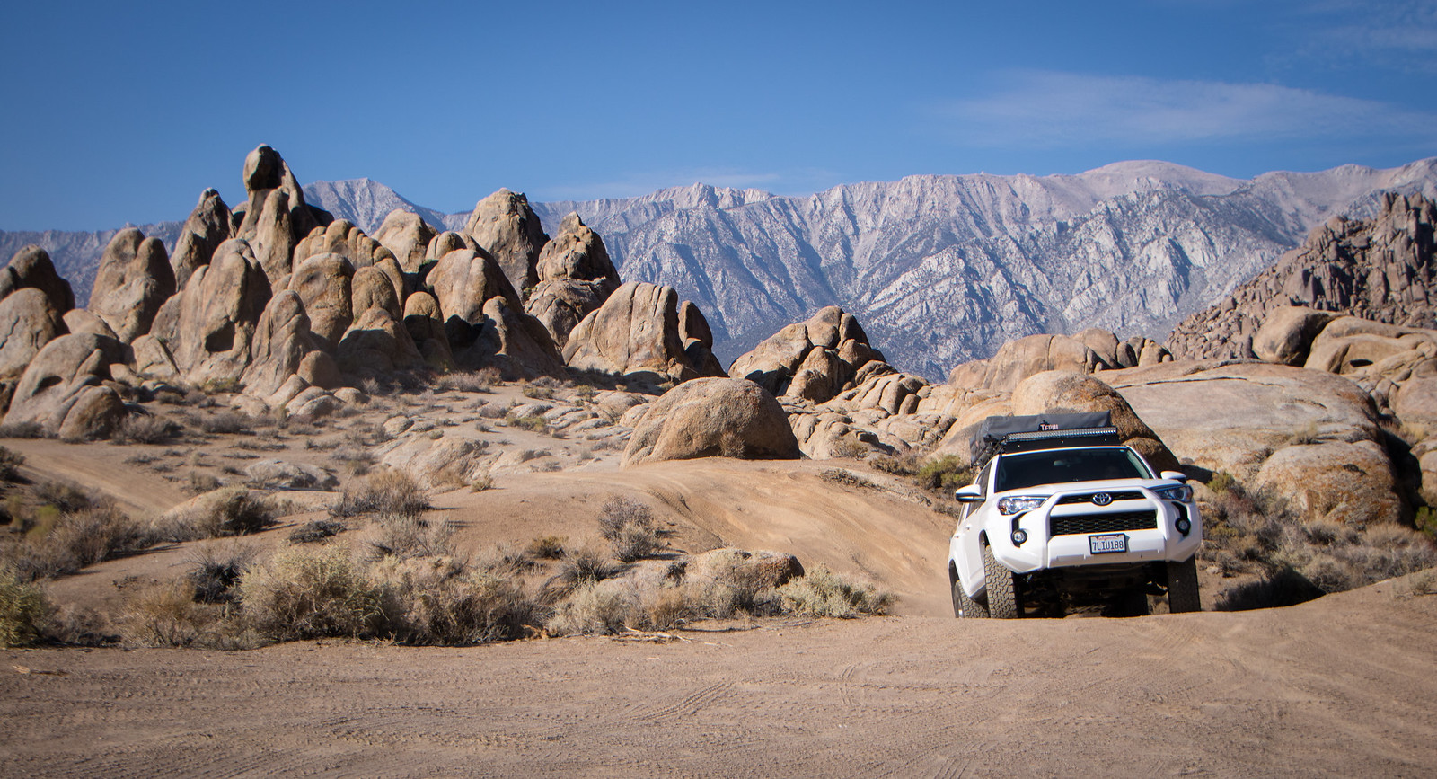
We left Wednesday after work and met up at the Pilot at the 15 & 395 interchange. Fueled up, grabbed a quick bite and set off for our first camp which was to be in the Alabama Hills, just west of Lone Pine.
 https://www.flickr.com/photos/125556024@N05/
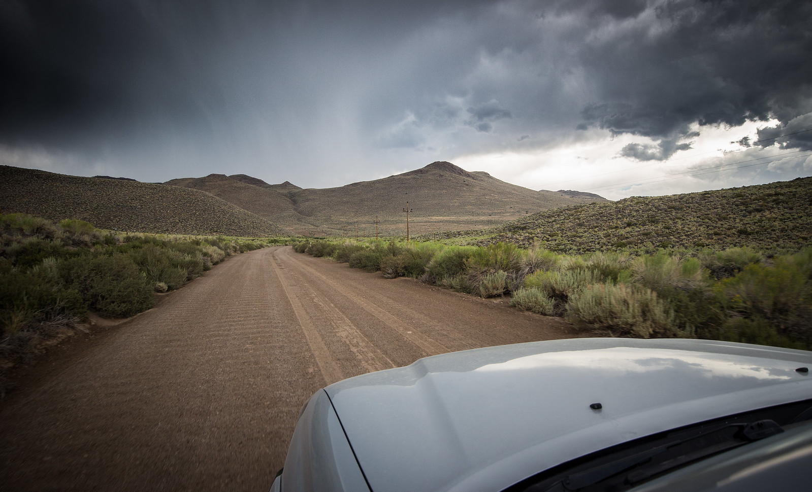
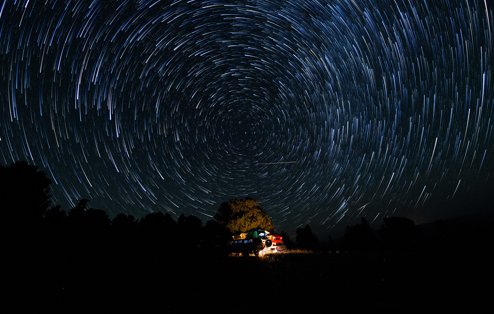
We pulled onto Whitney Portal road right about 9:30 and made the drive towards the famous landscape. Just as we were to make the turn onto Movie Rd a bright light appeared on-top of the mountain. At first, it looked like maybe a vehicle coming down the road, but soon the light began to cast light like a search helicopter. It was coming right at us as we pulled over to get out of the vehicles for a better look. We stood there in awe once we knew it wasn't a car, helicopter or plane. Our adrenaline pumping as whatever it was passed nearly right above us. Was is a meteor? A failed rocket launch? A disintegrated plane? Nearly a minute went by as we watched whatever it was come apart in the dark skies - fragmented fireballs scattering as it flew over the eastern horizon. Throughout it all, I kept thinking I should grab my camera but for some reason never did. Sort of bummed I didn't.
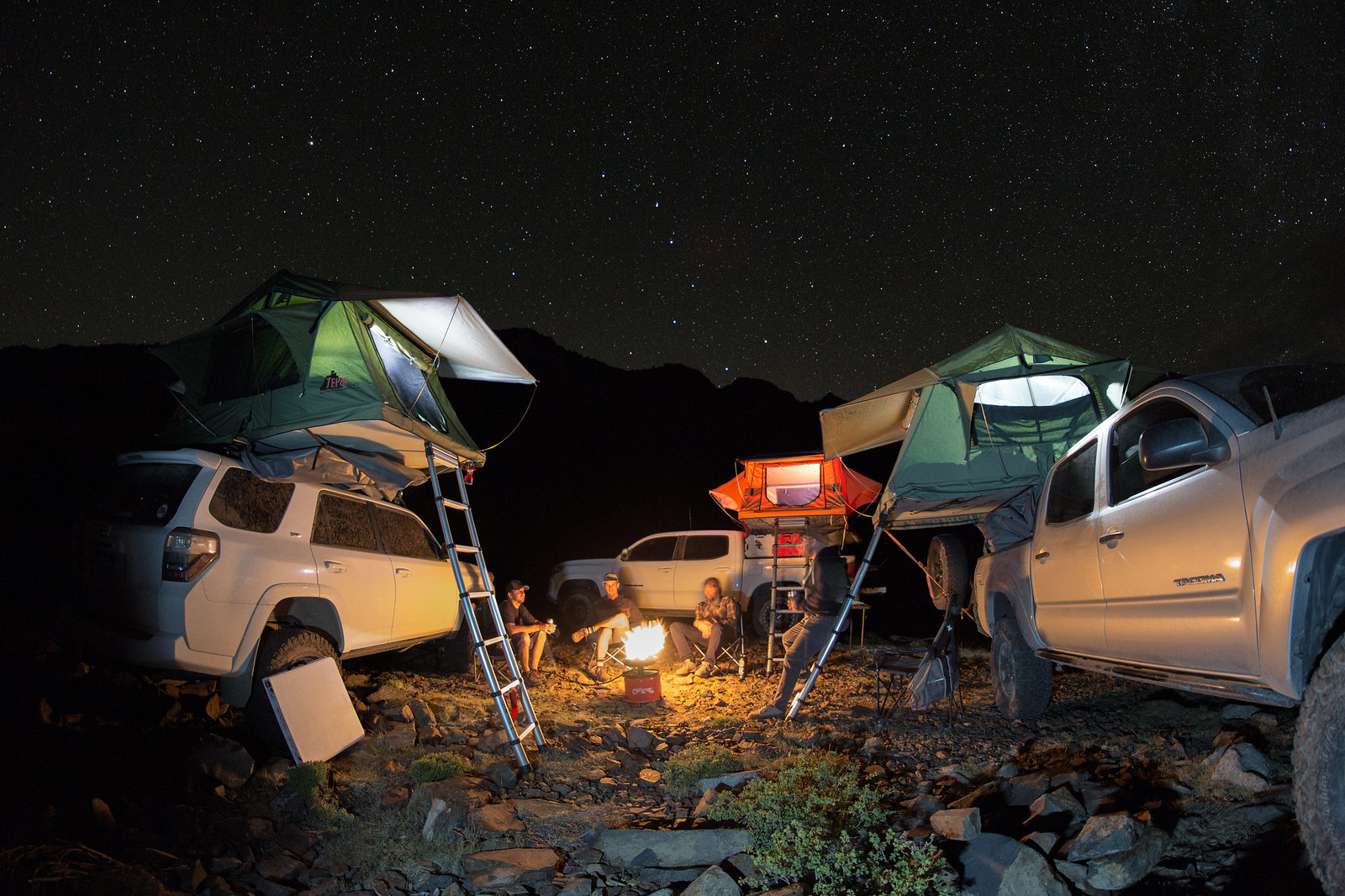
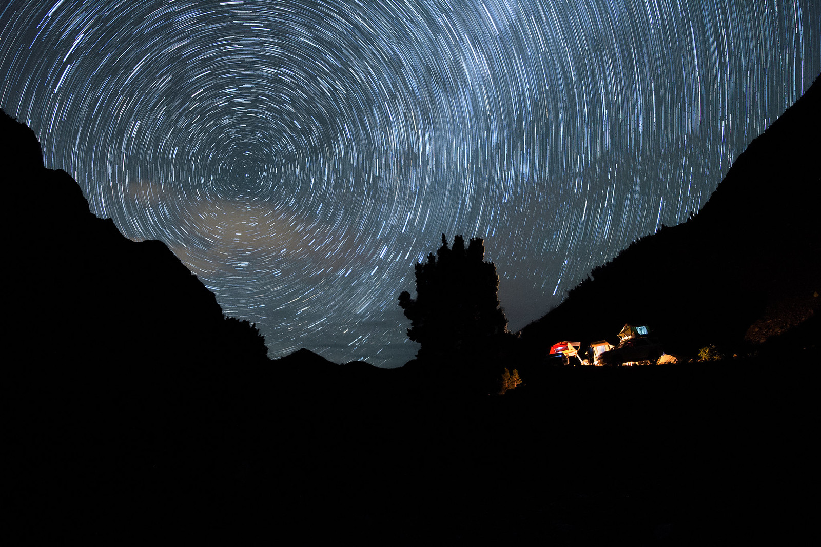
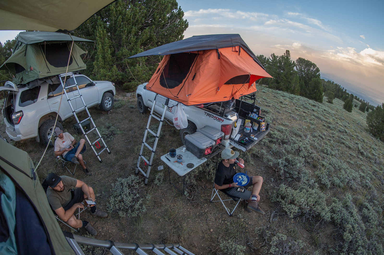
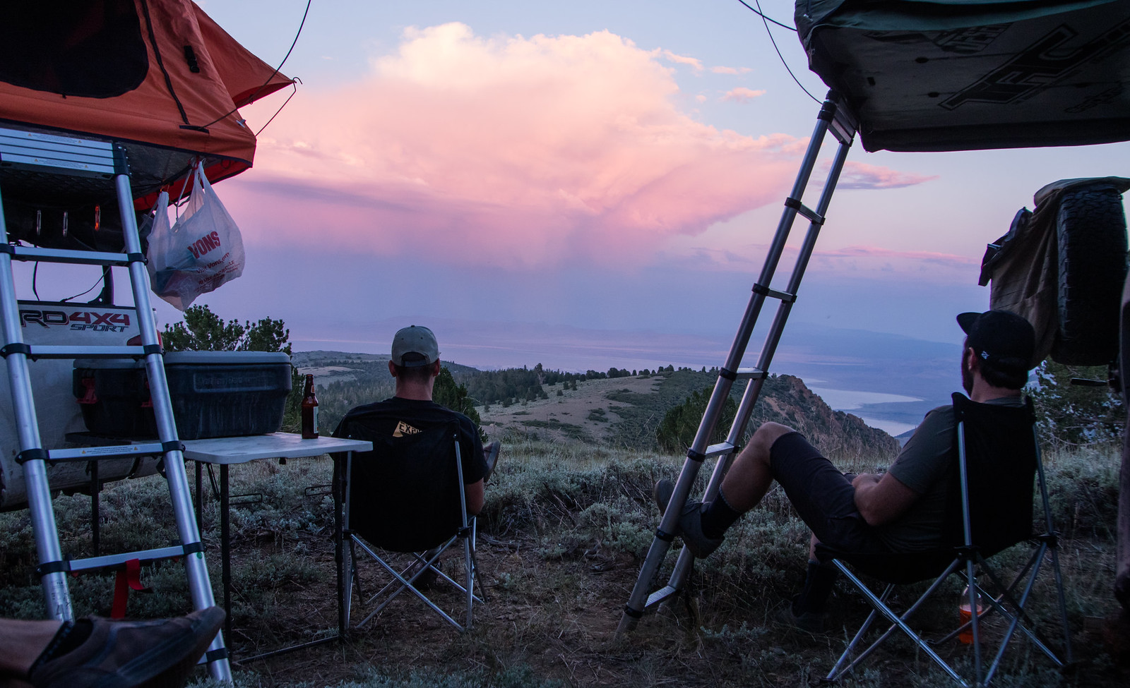
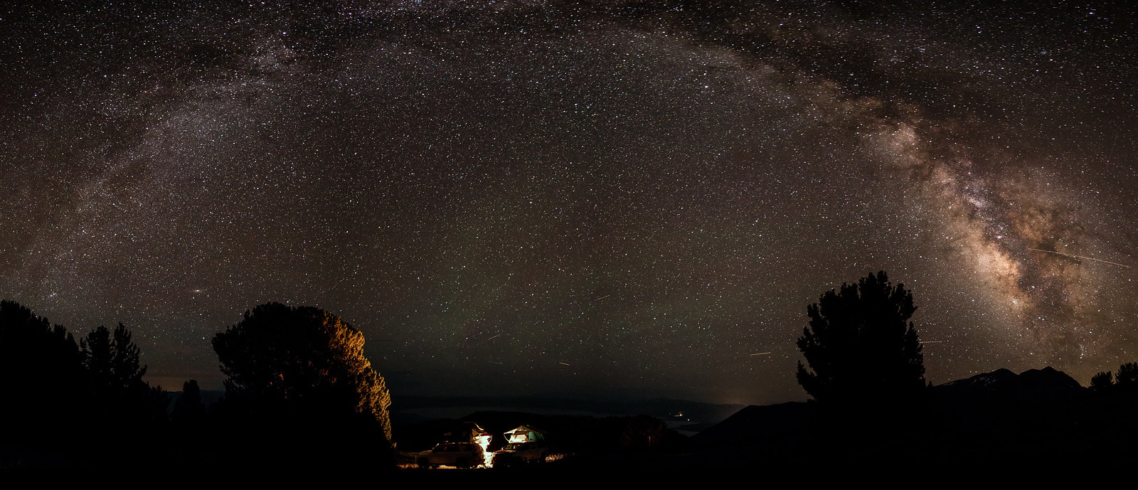
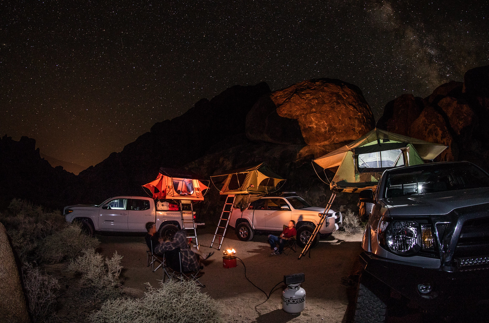
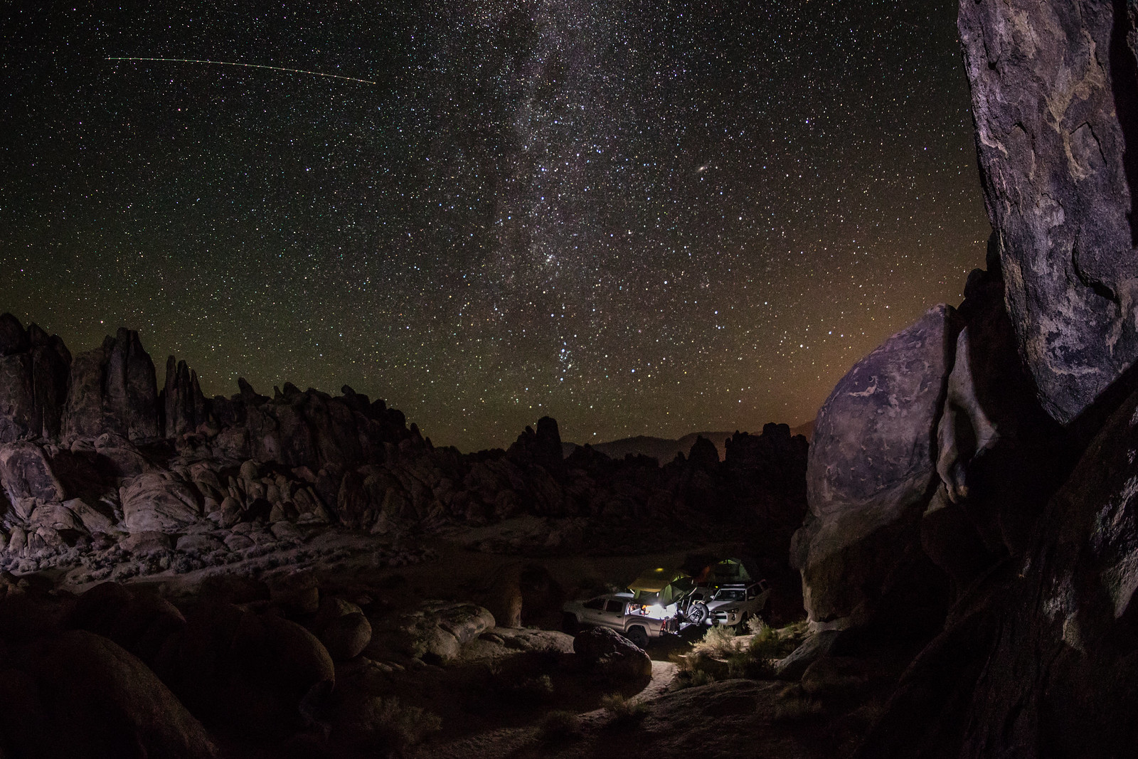
We continued to our camp for the night to relax around the propane campfire before calling it a night. A long adventure awaits us in the morning.
 https://www.flickr.com/photos/125556024@N05/
 https://www.flickr.com/photos/125556024@N05/
 https://www.flickr.com/photos/125556024@N05/
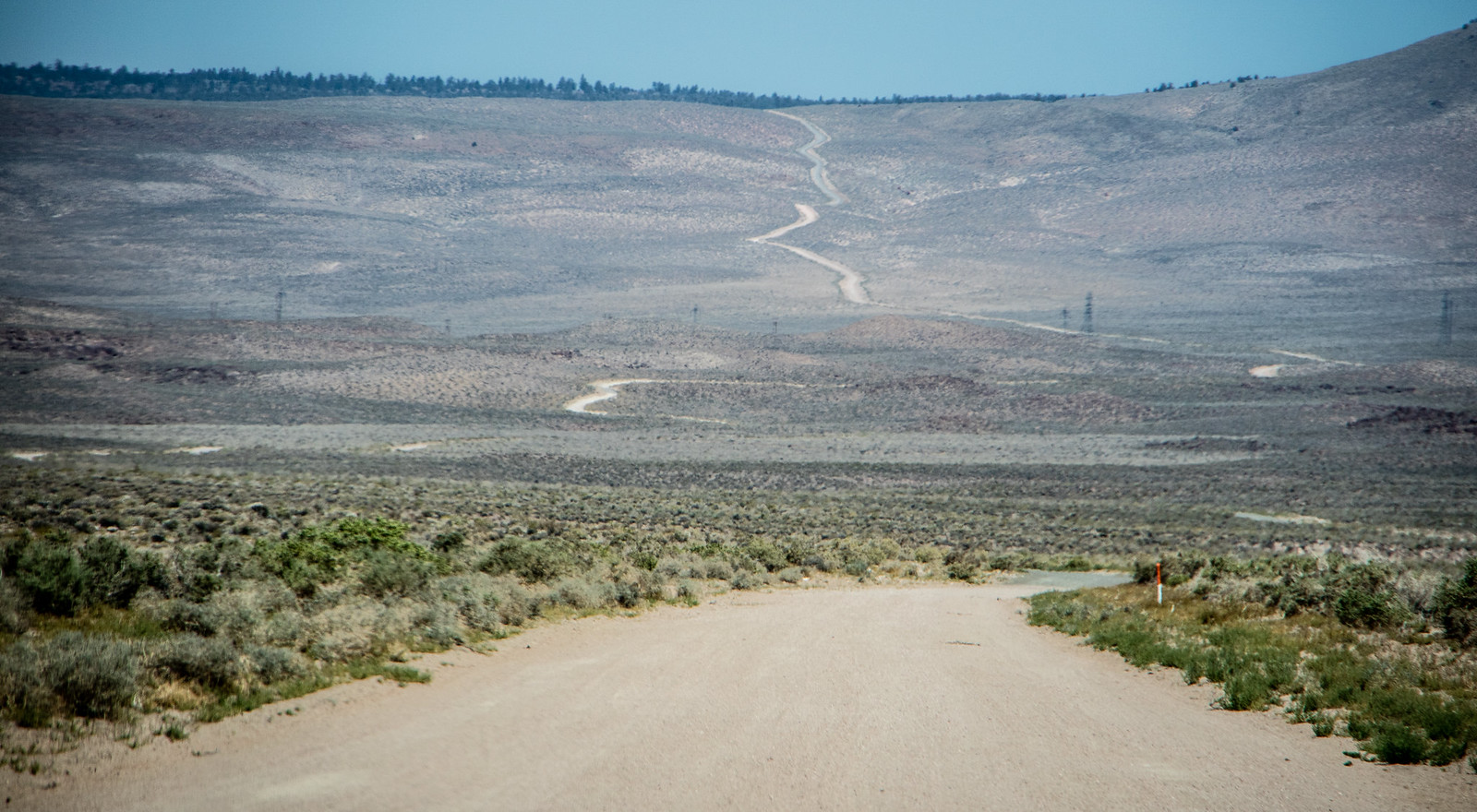
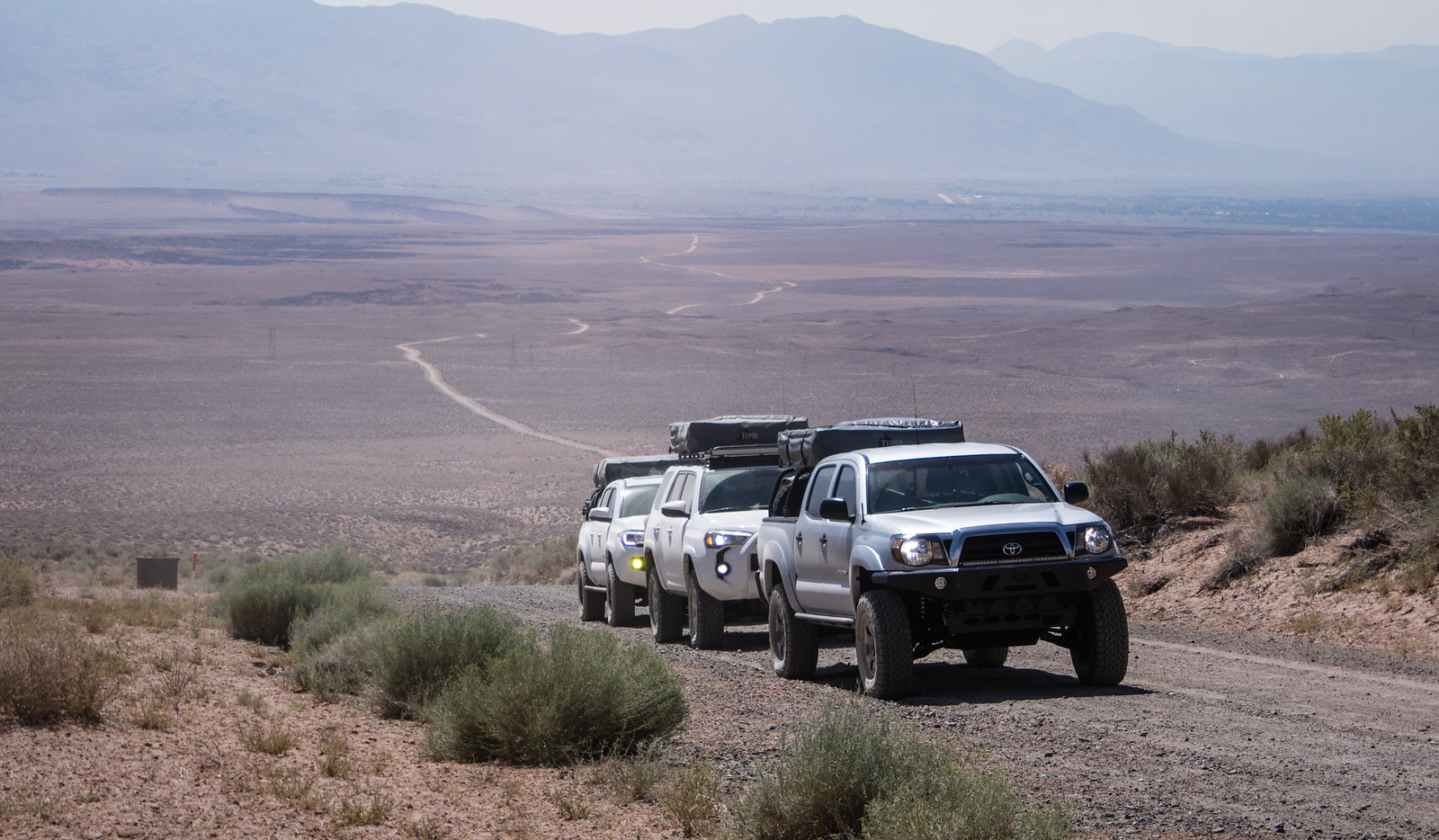
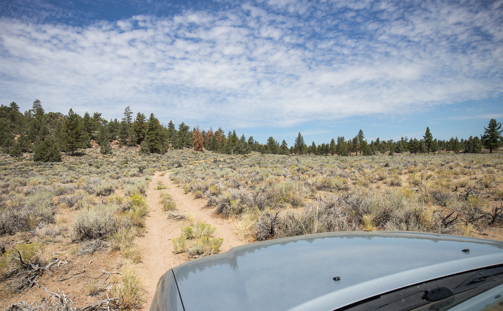
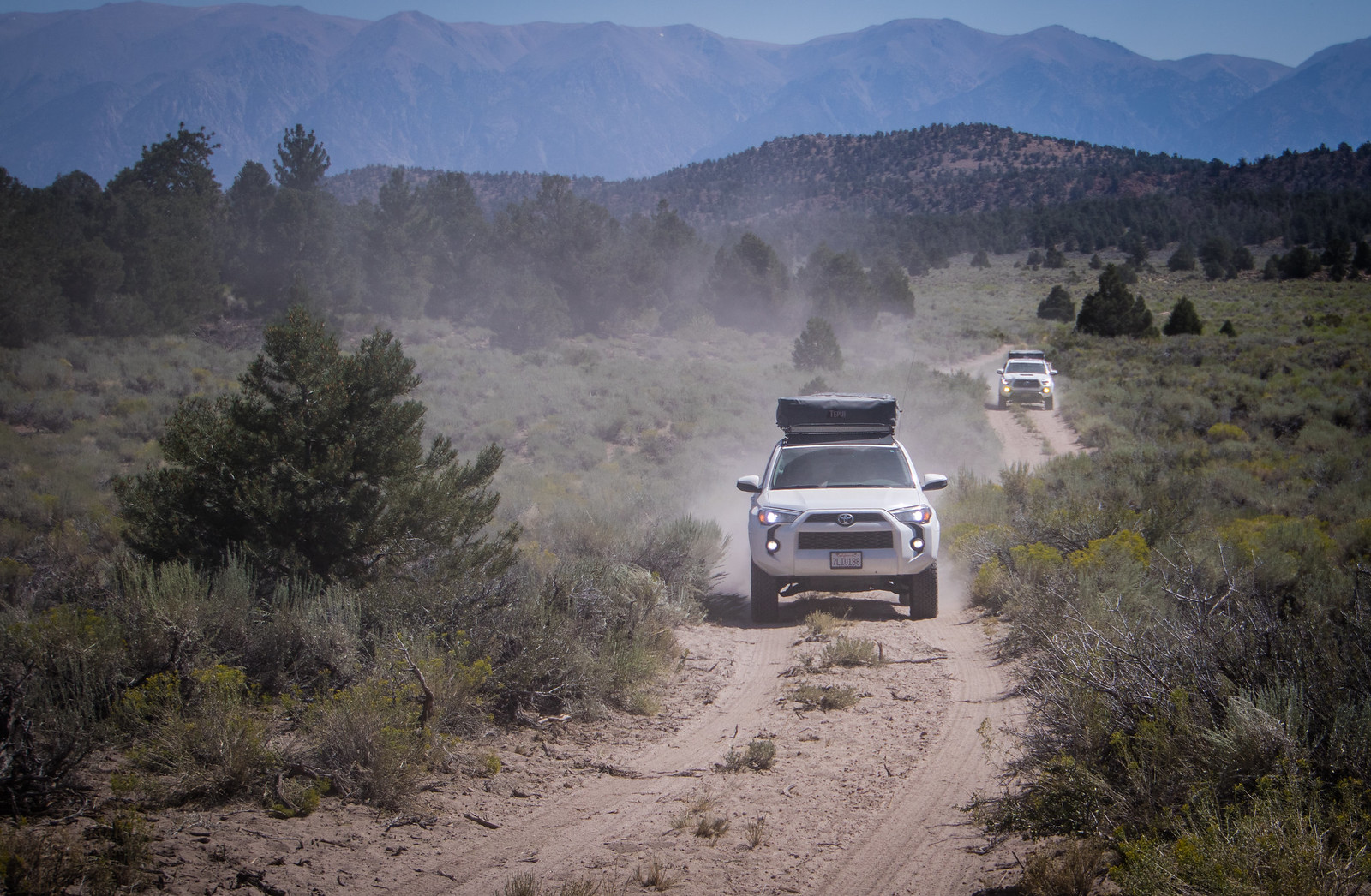
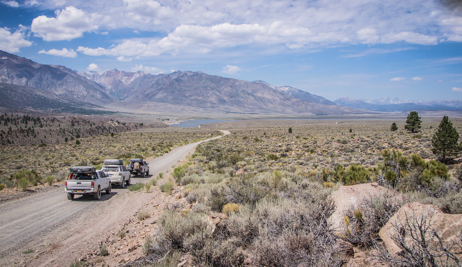
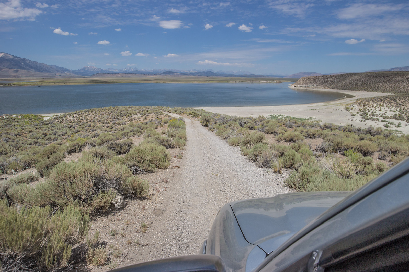
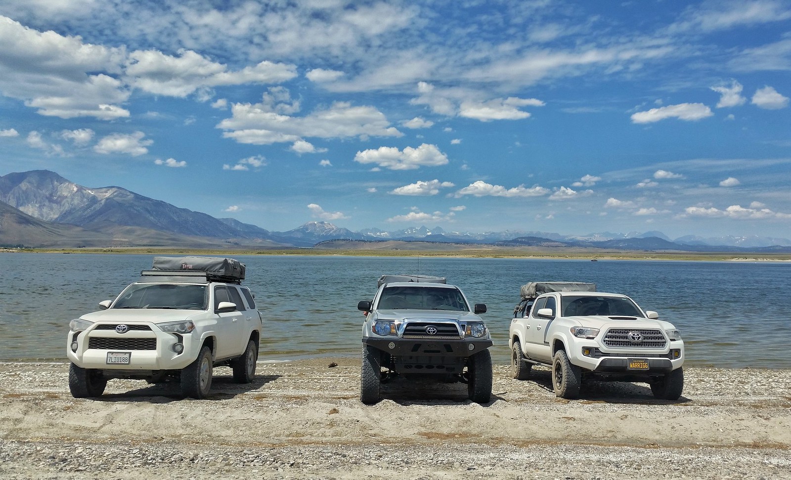
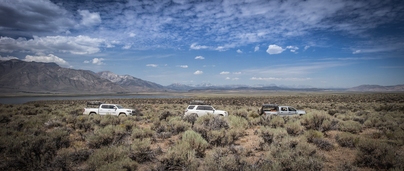
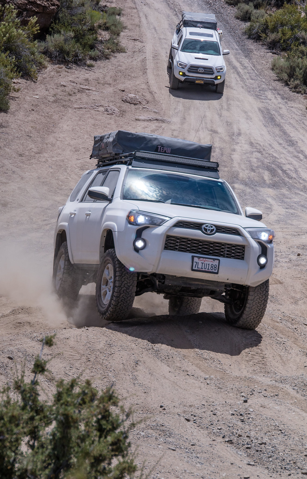
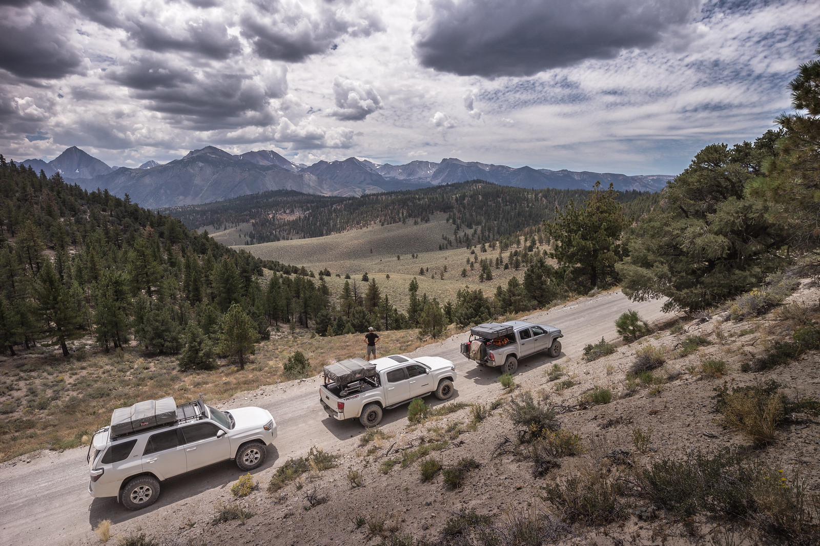
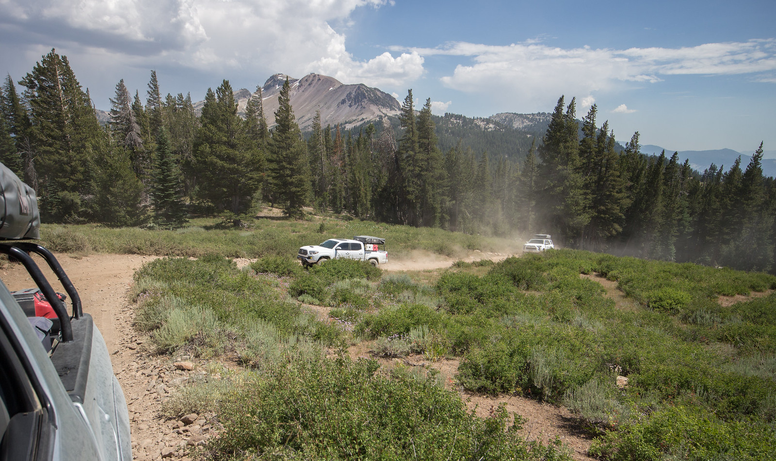
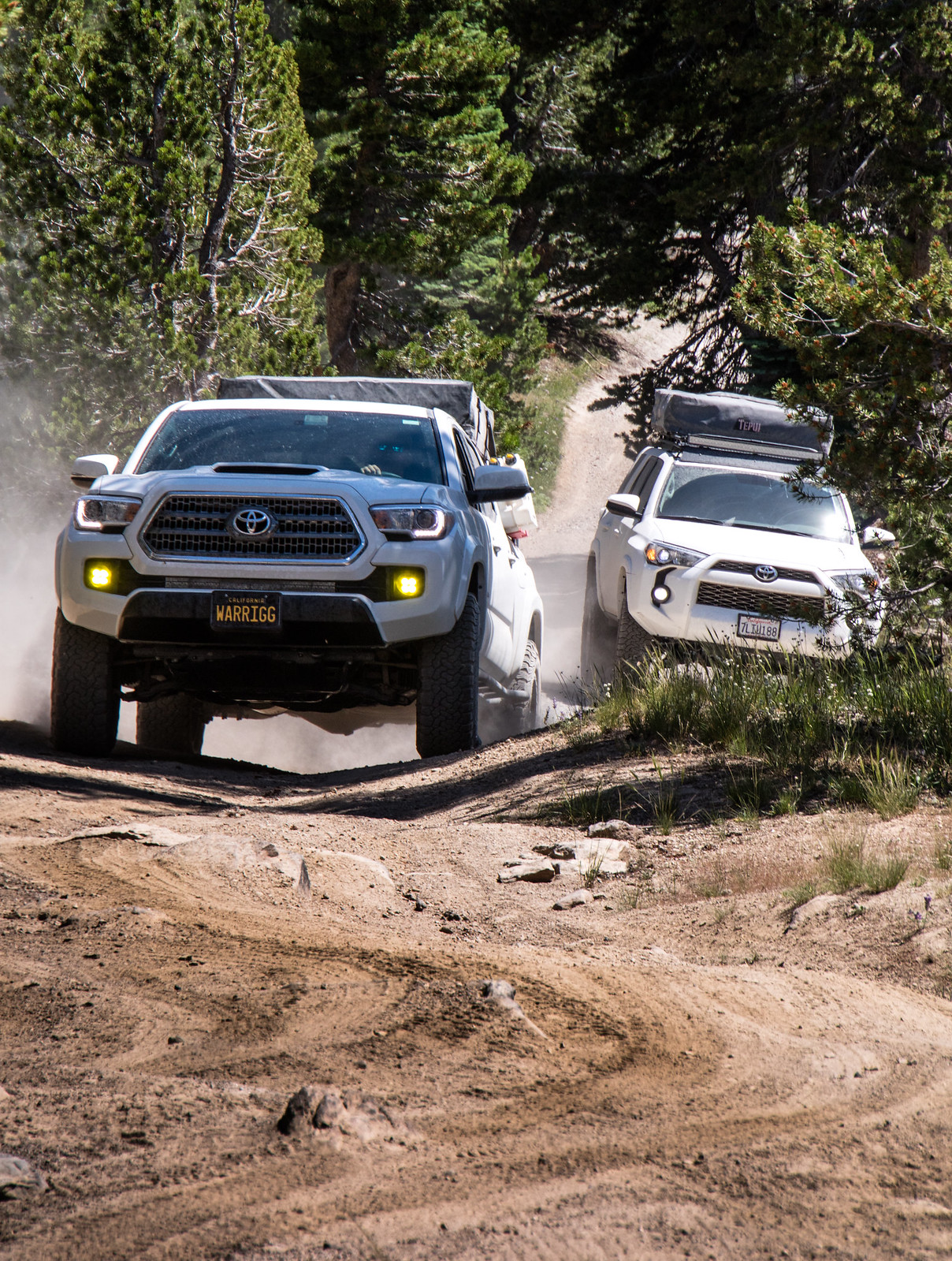
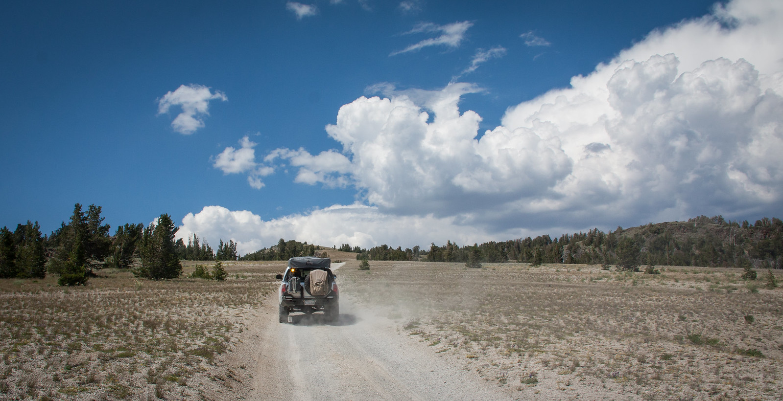
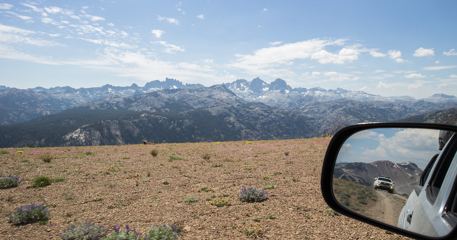
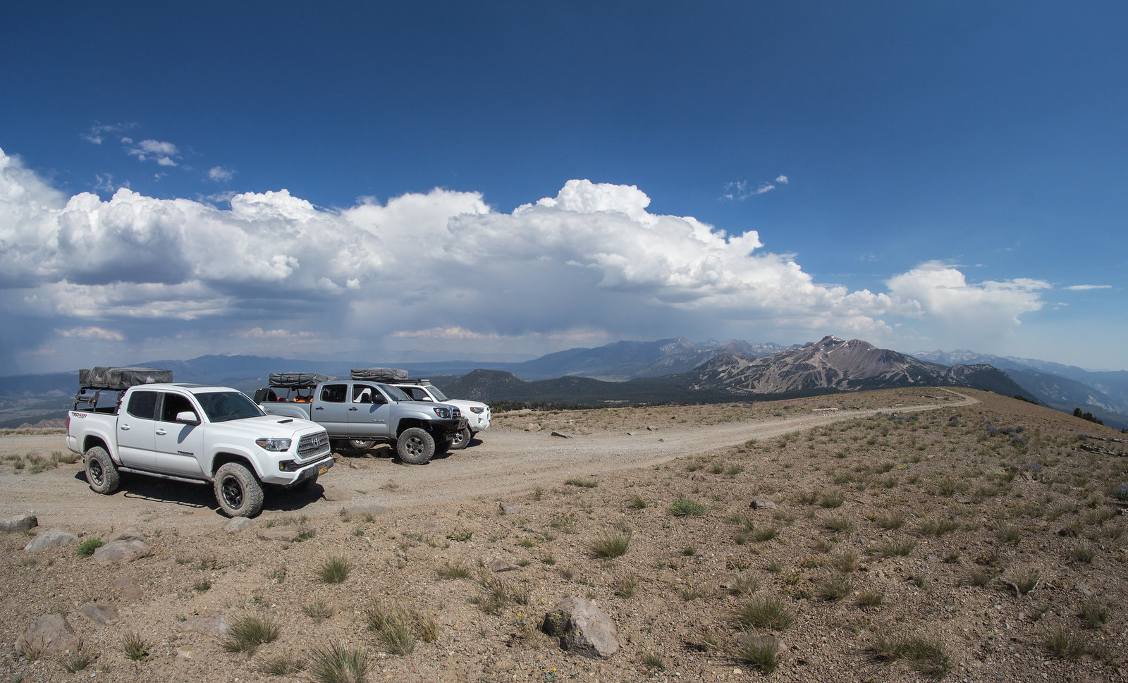
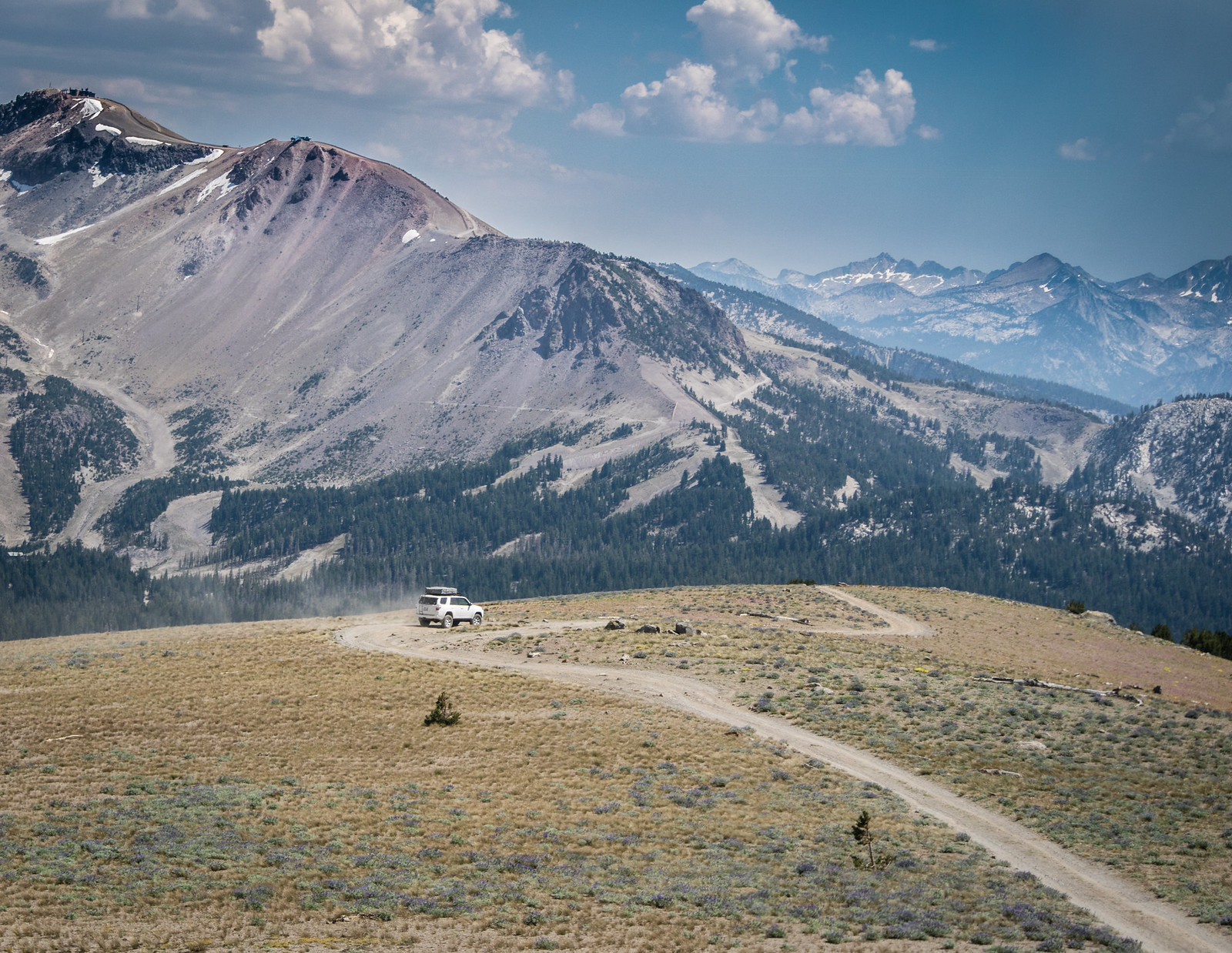
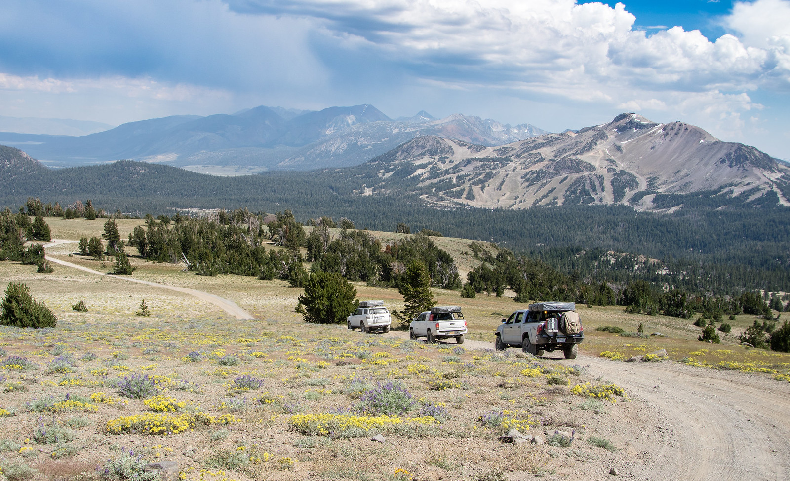
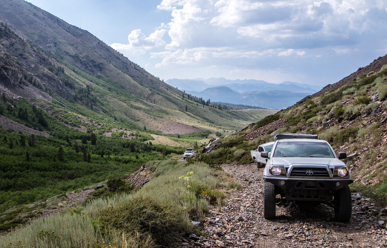
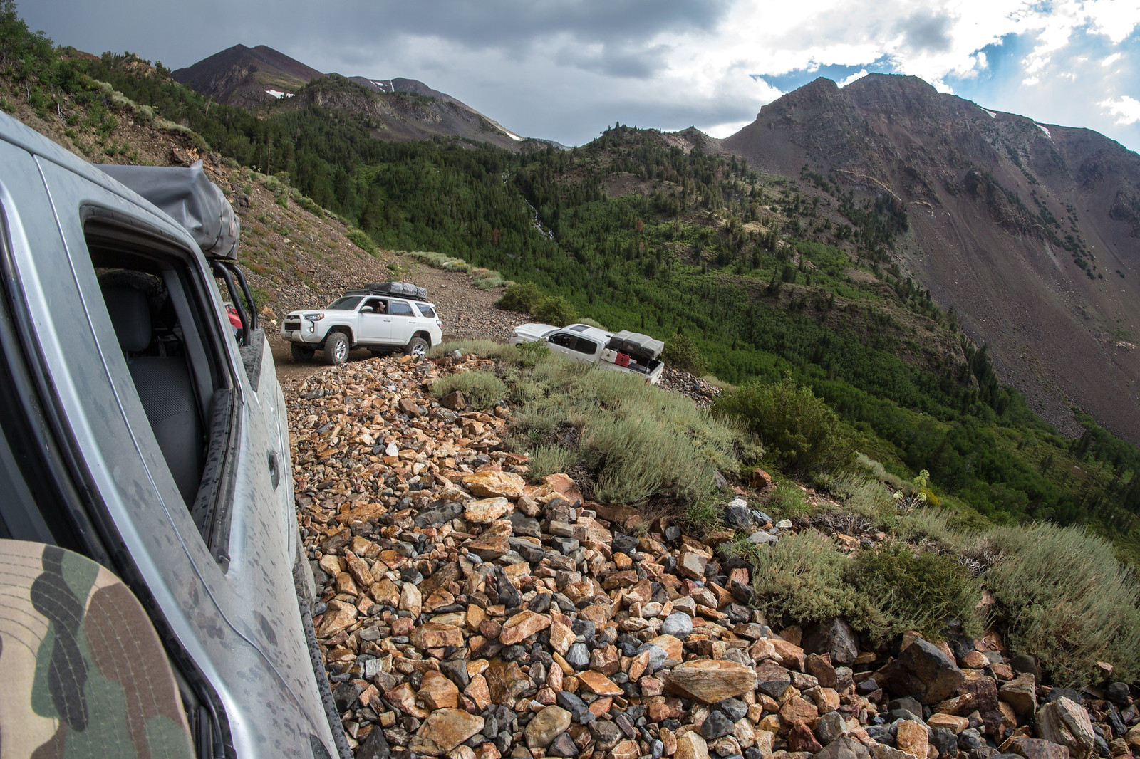
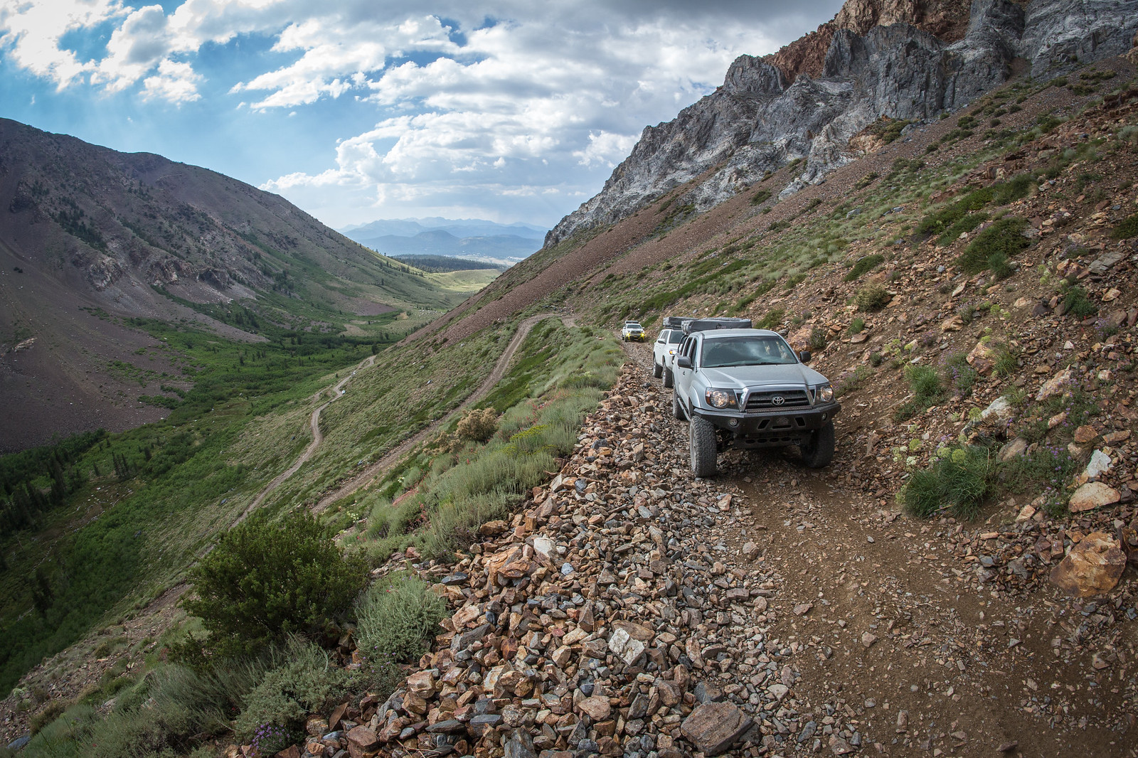
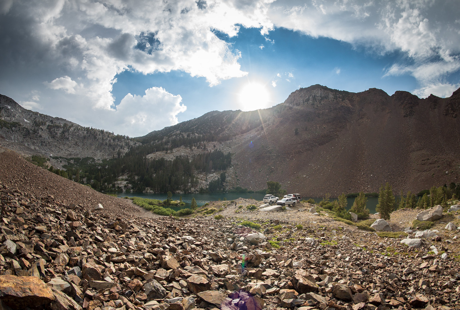
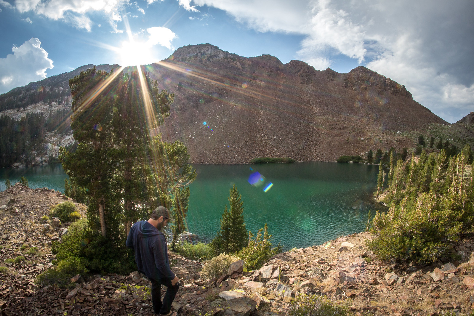
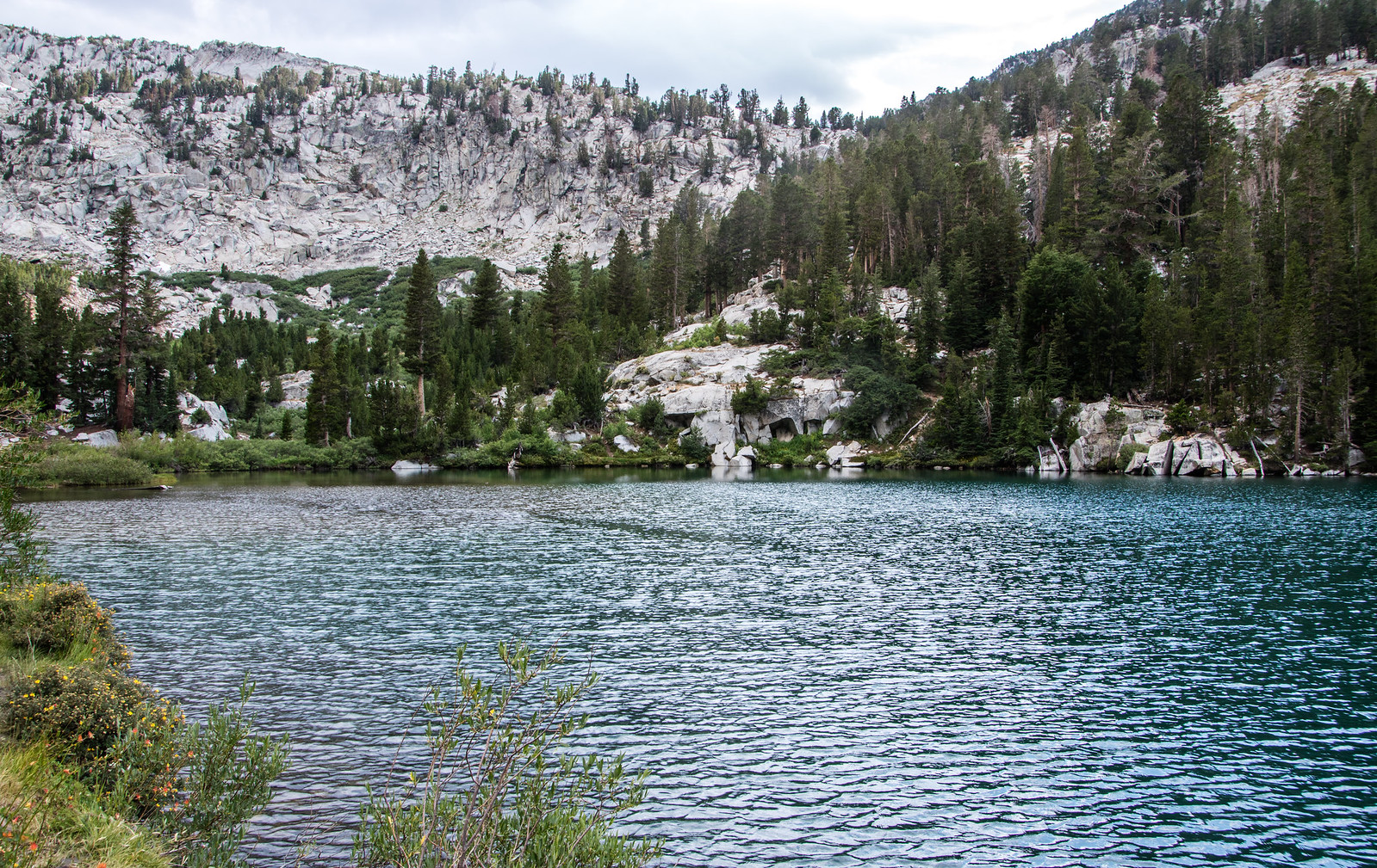
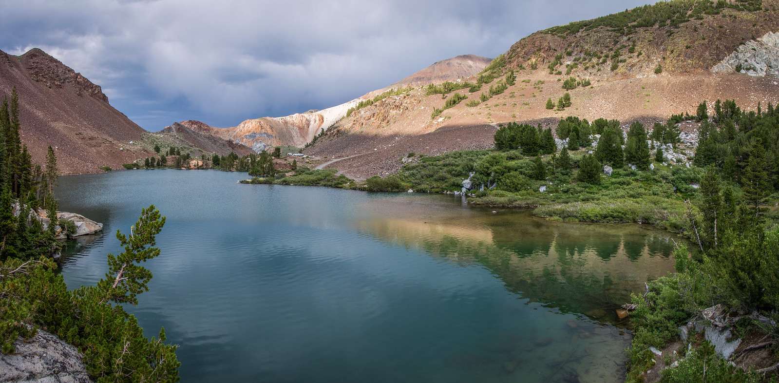
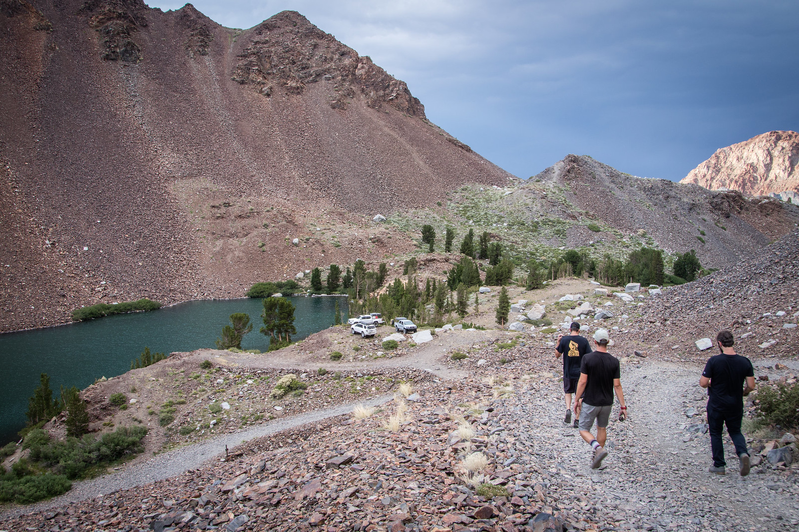
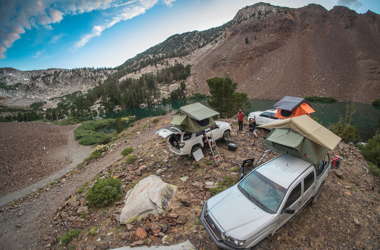
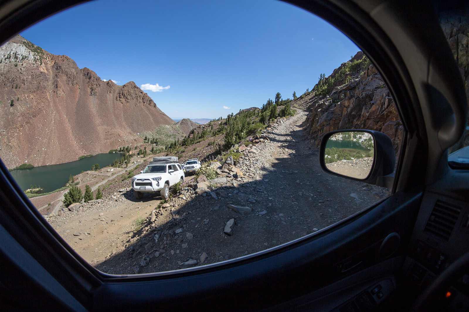
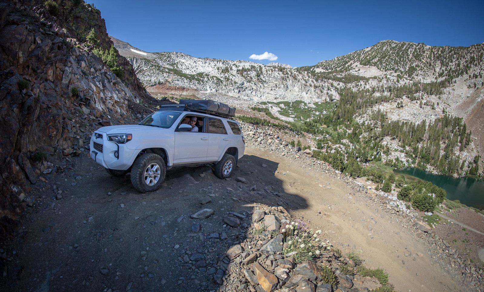
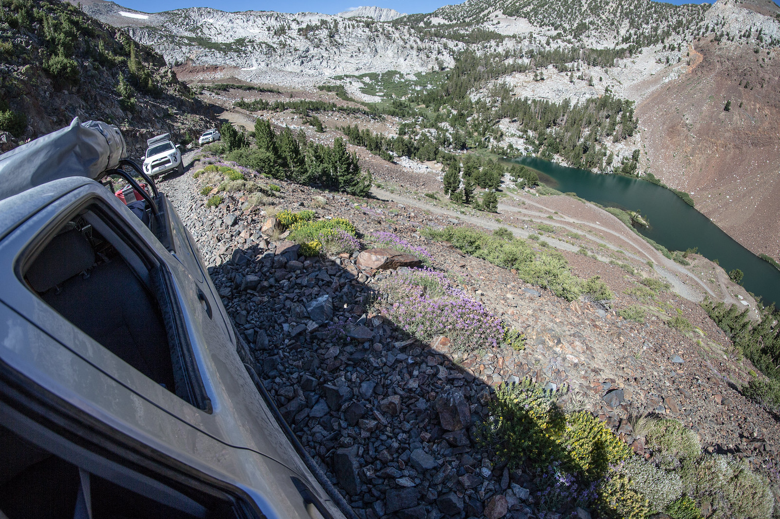
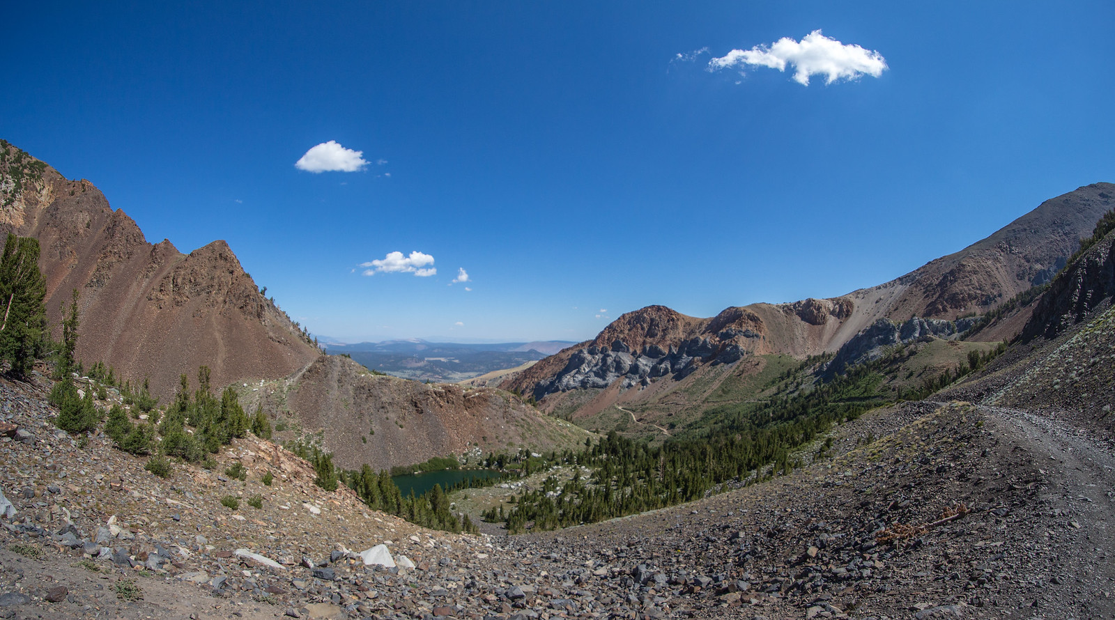
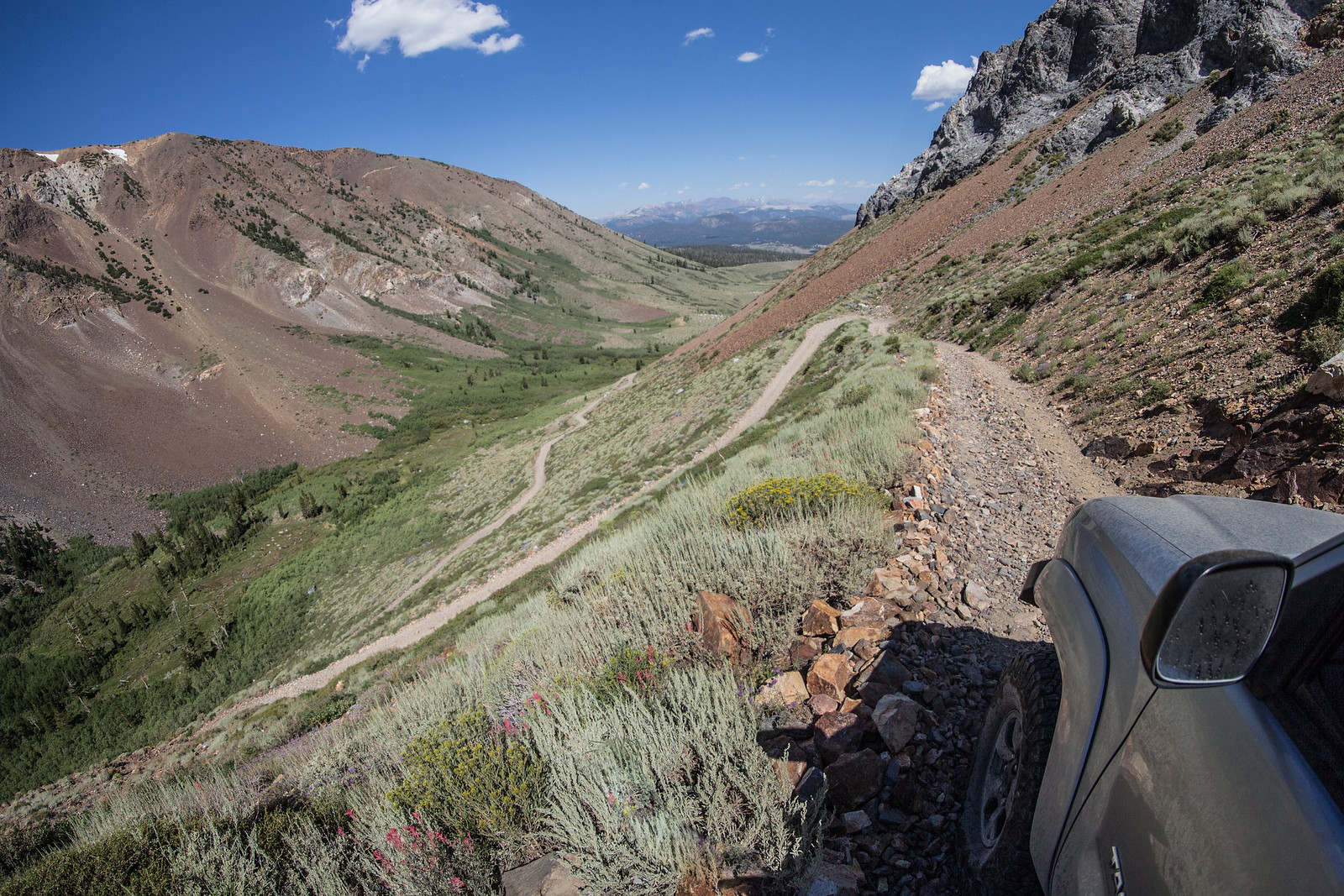
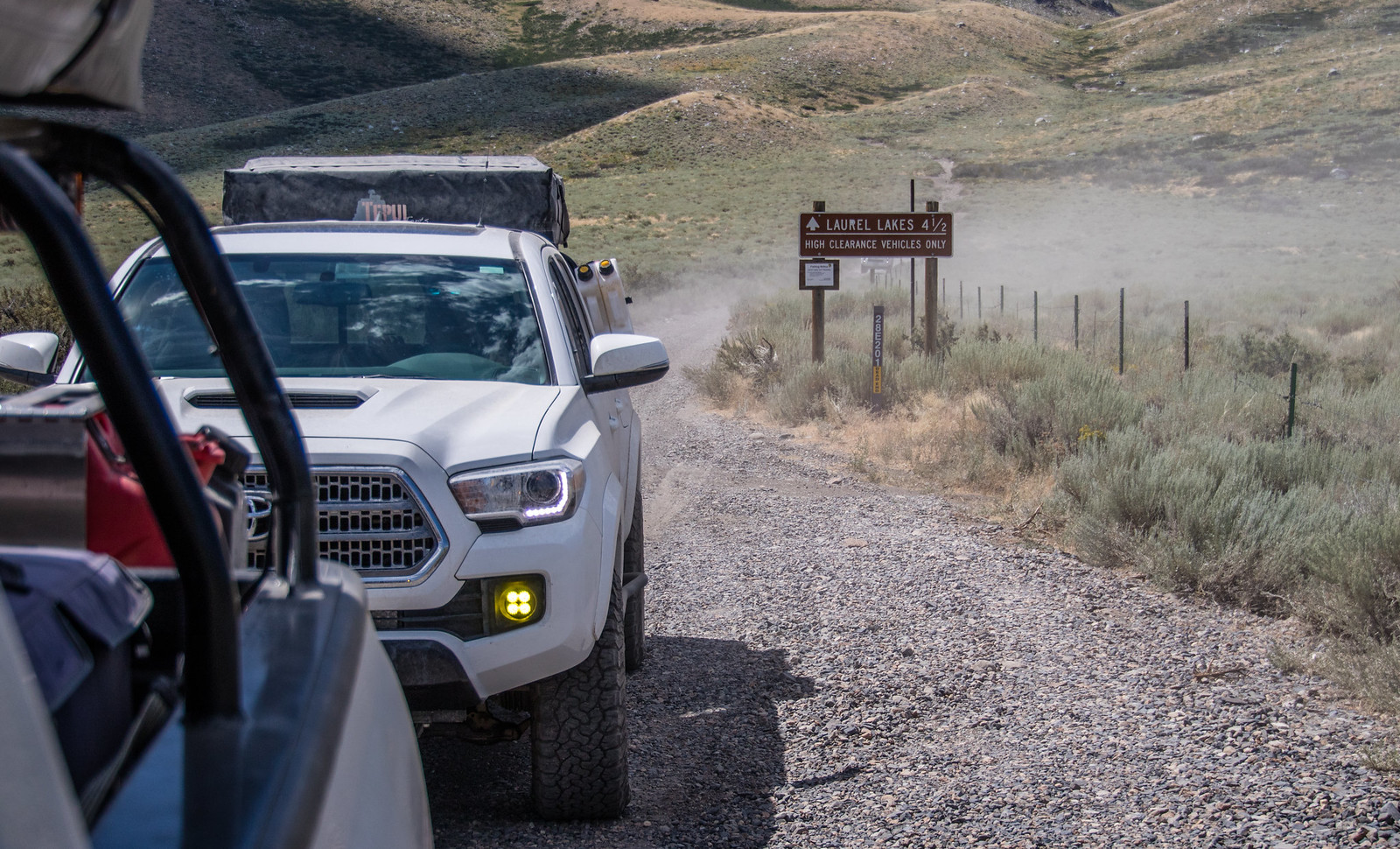
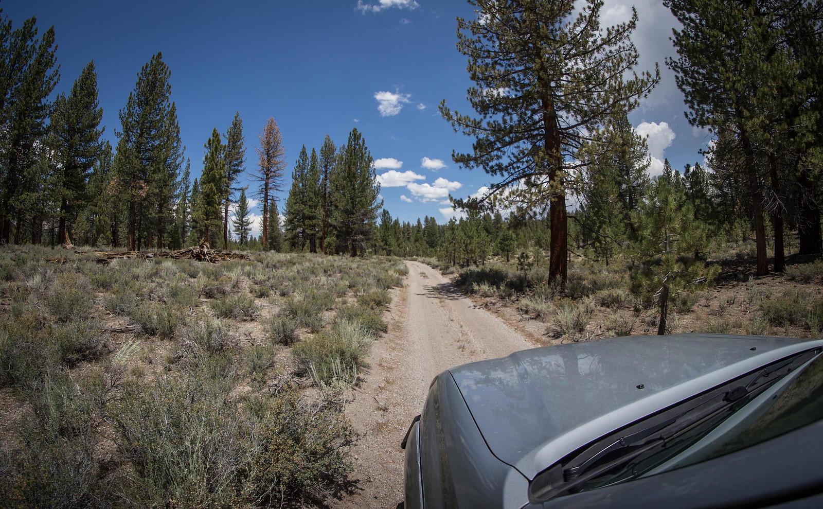
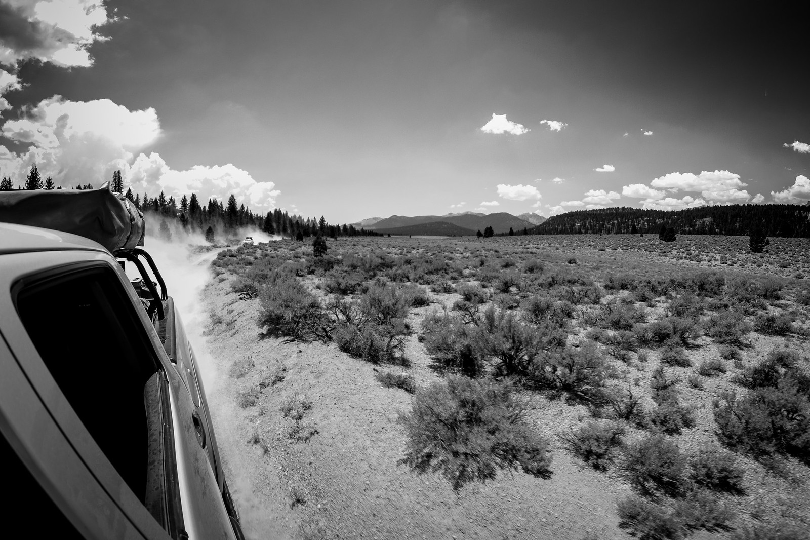
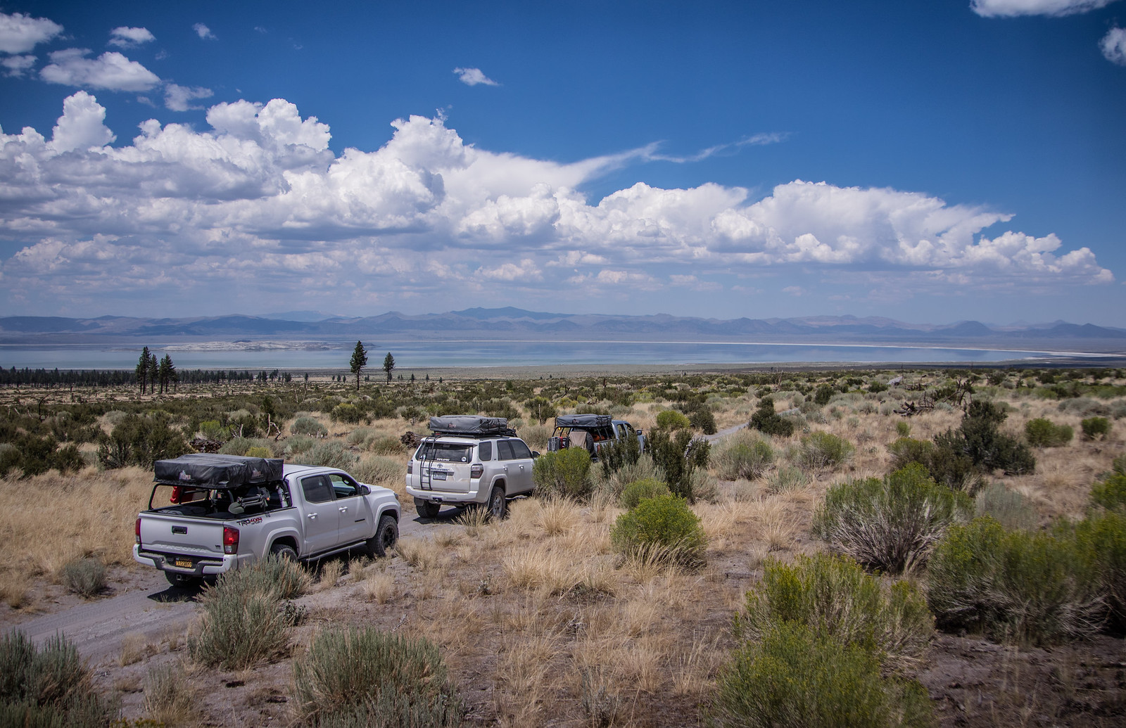
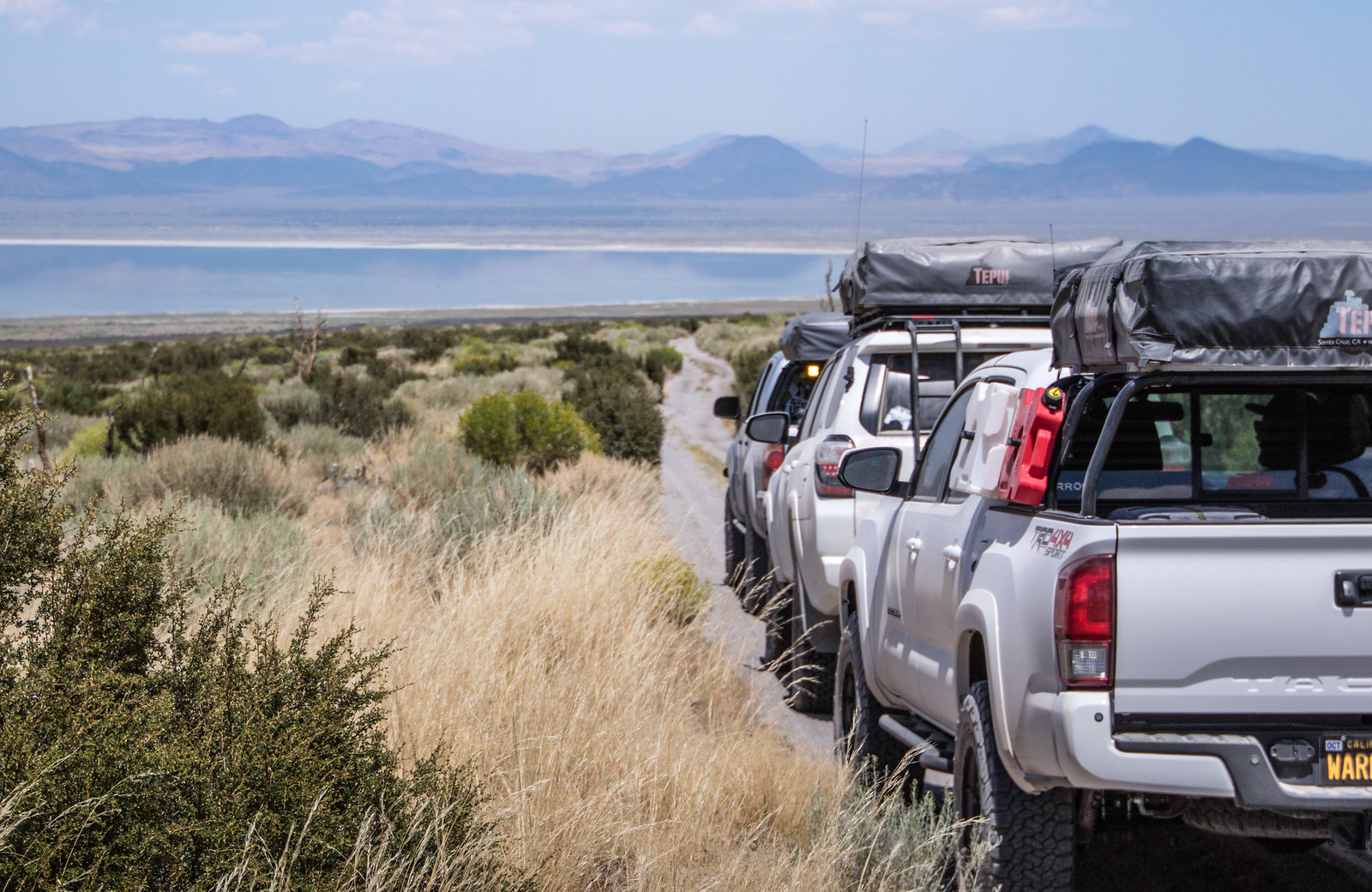
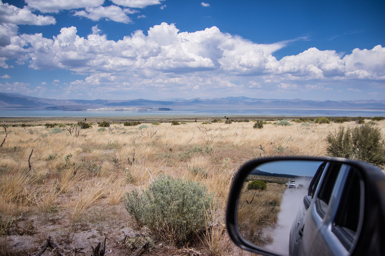
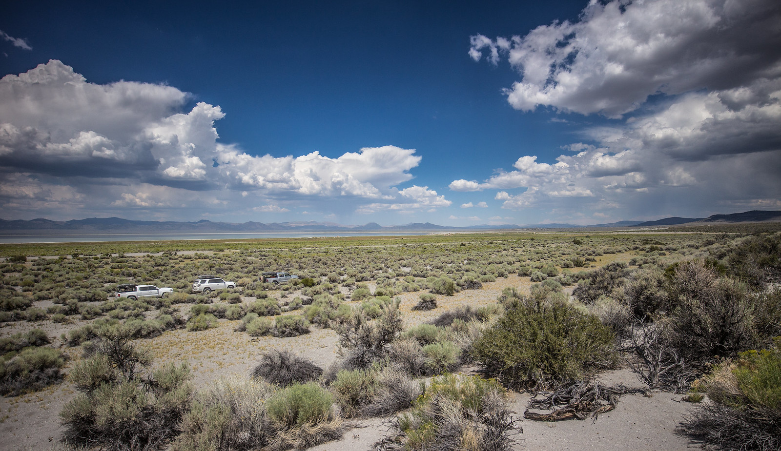
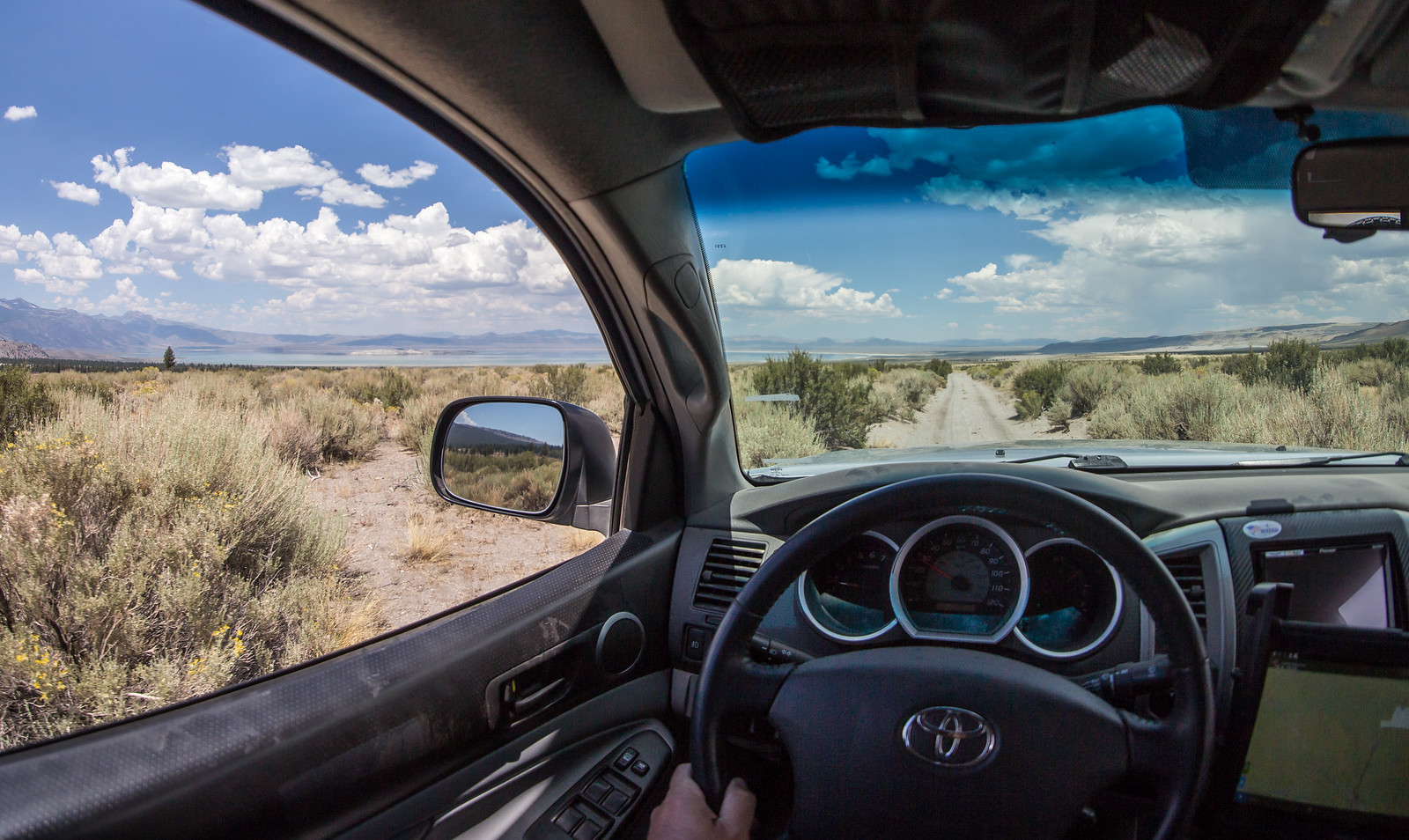
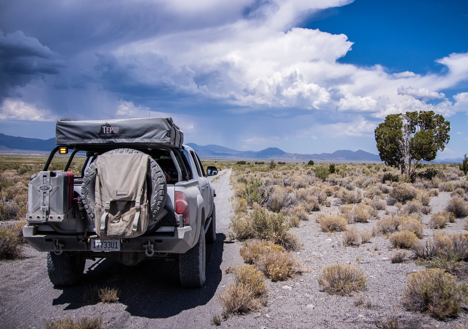
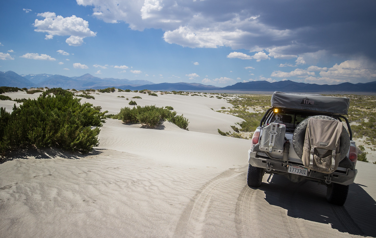
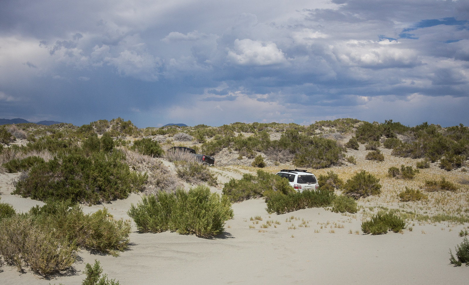
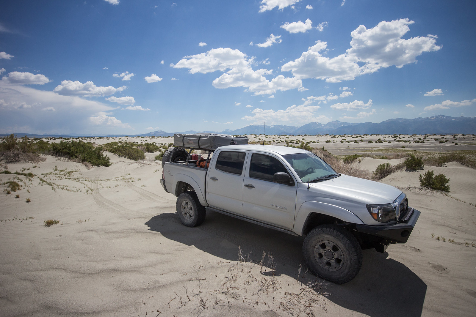
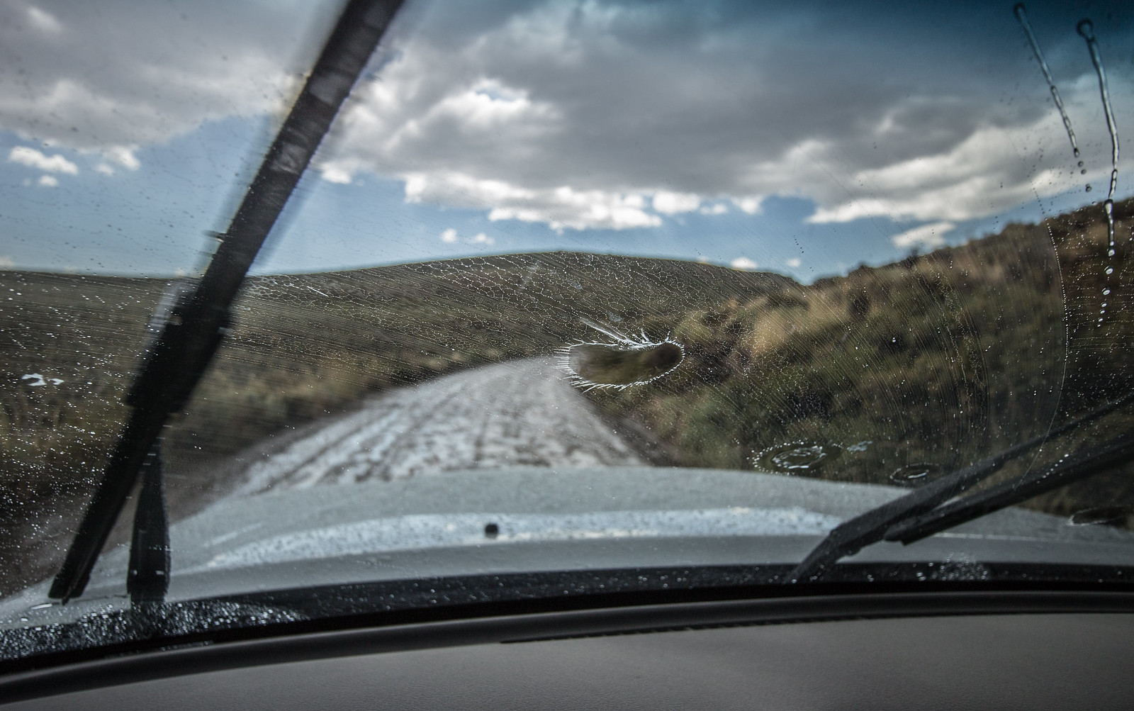
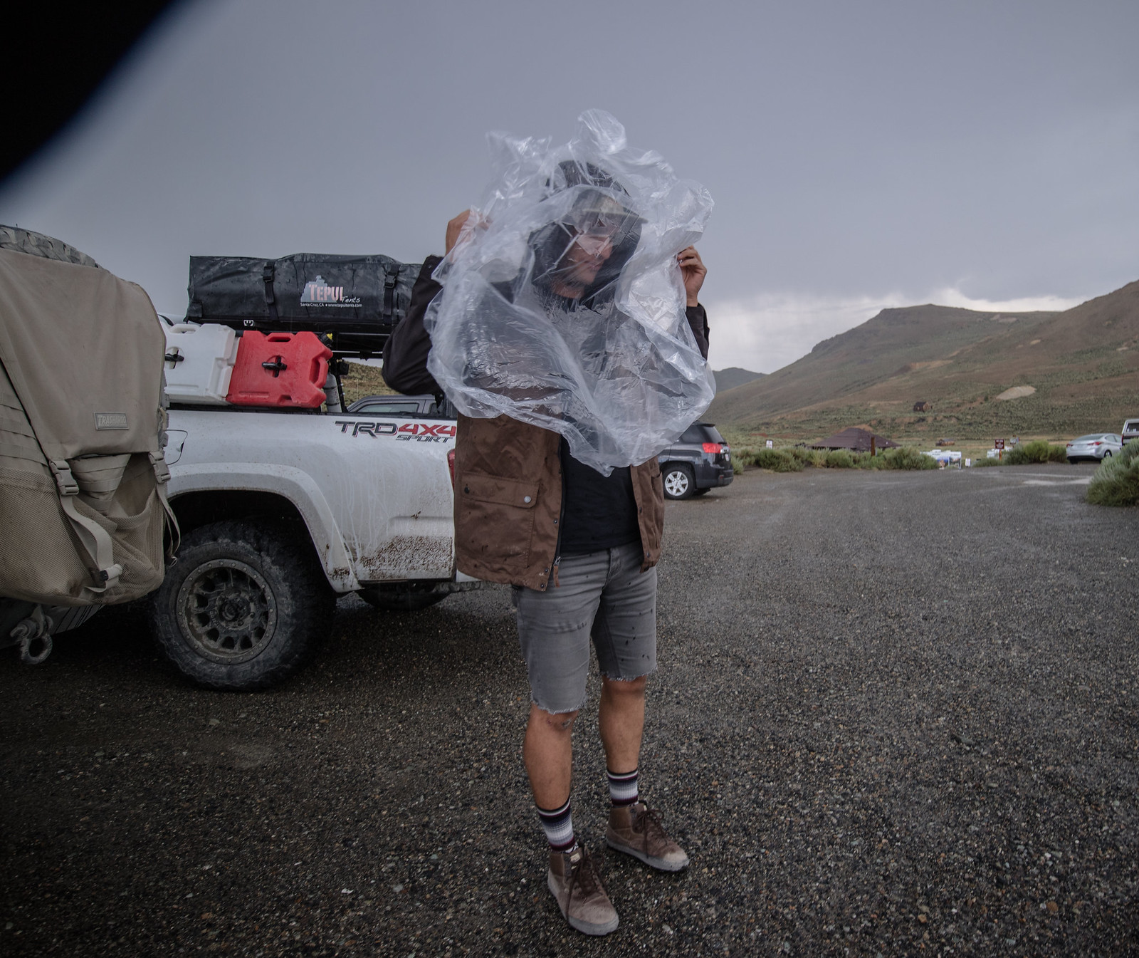
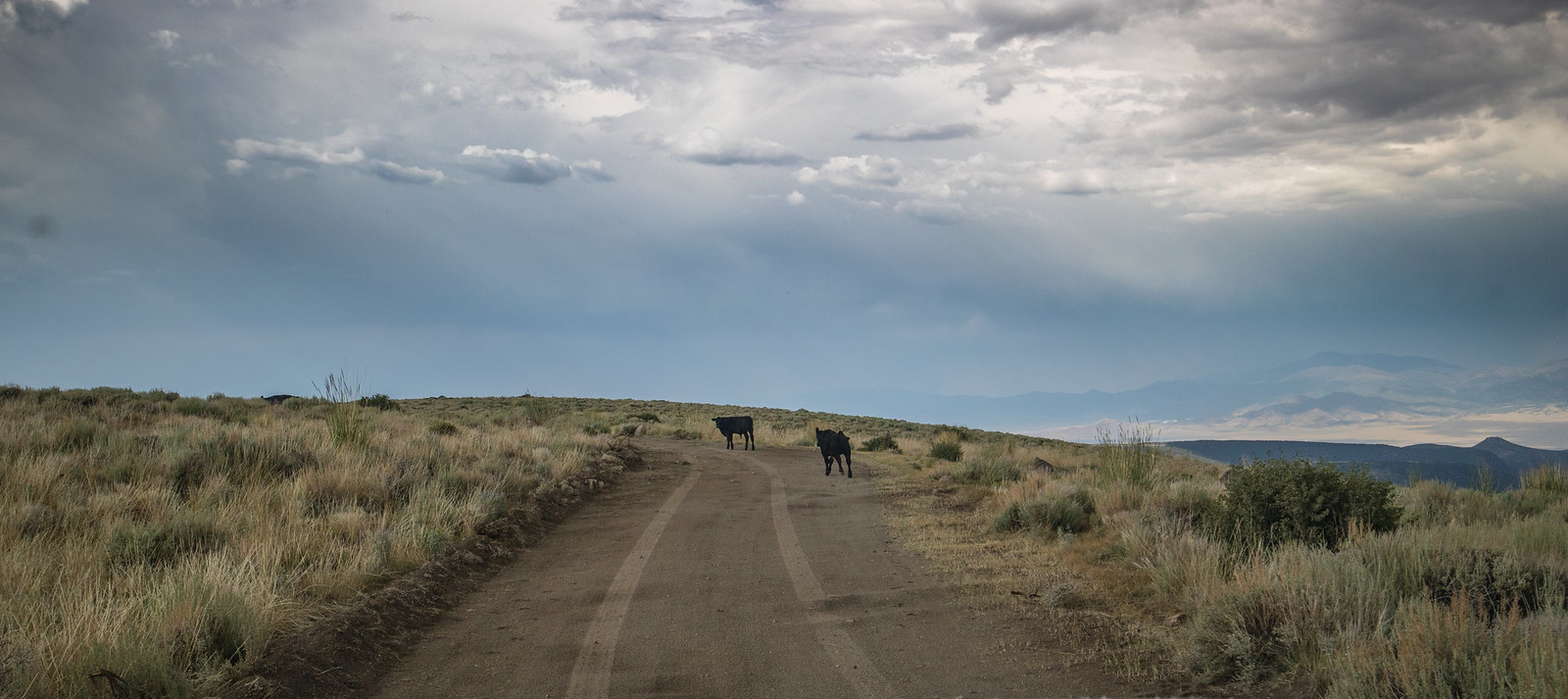
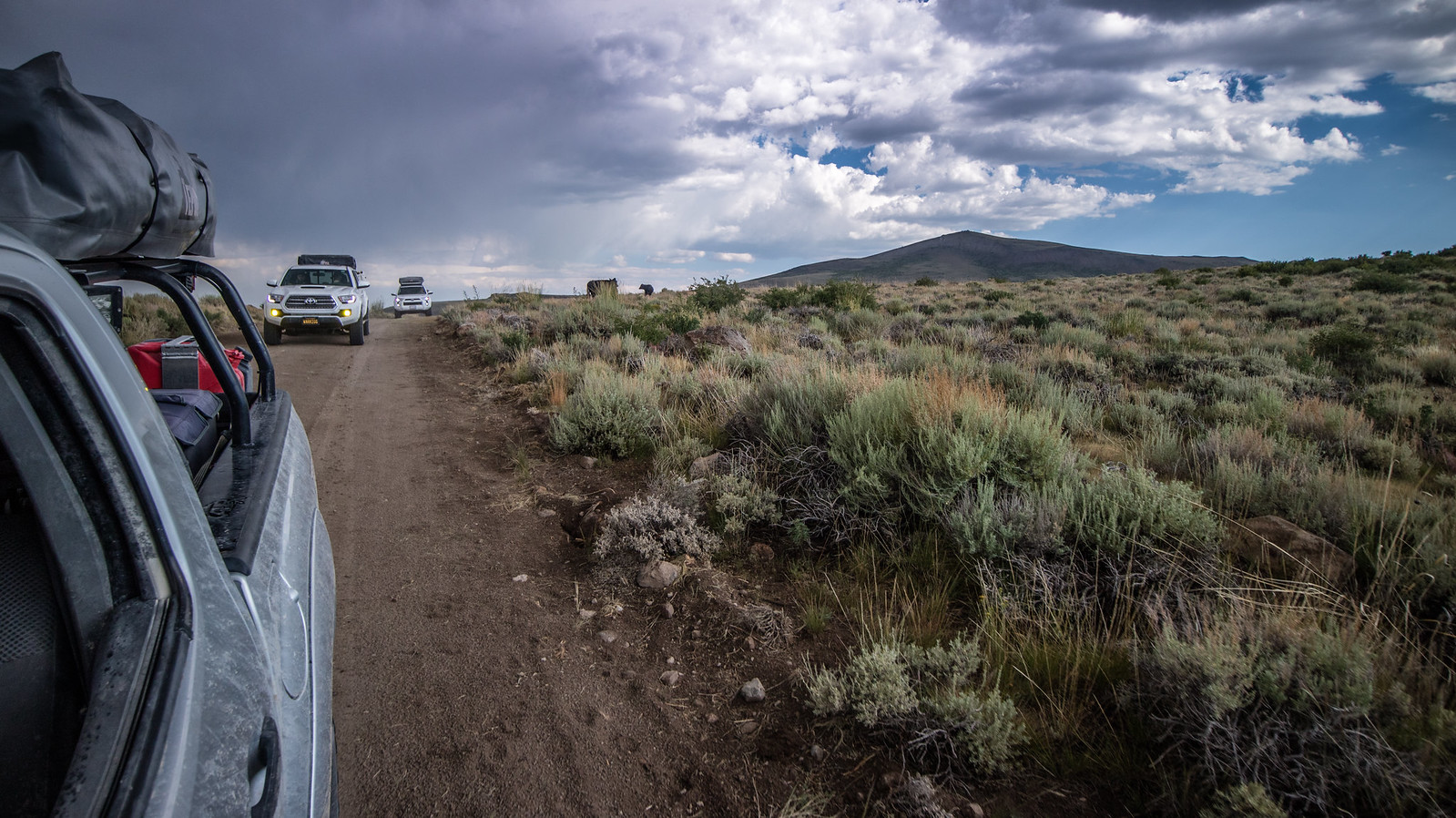
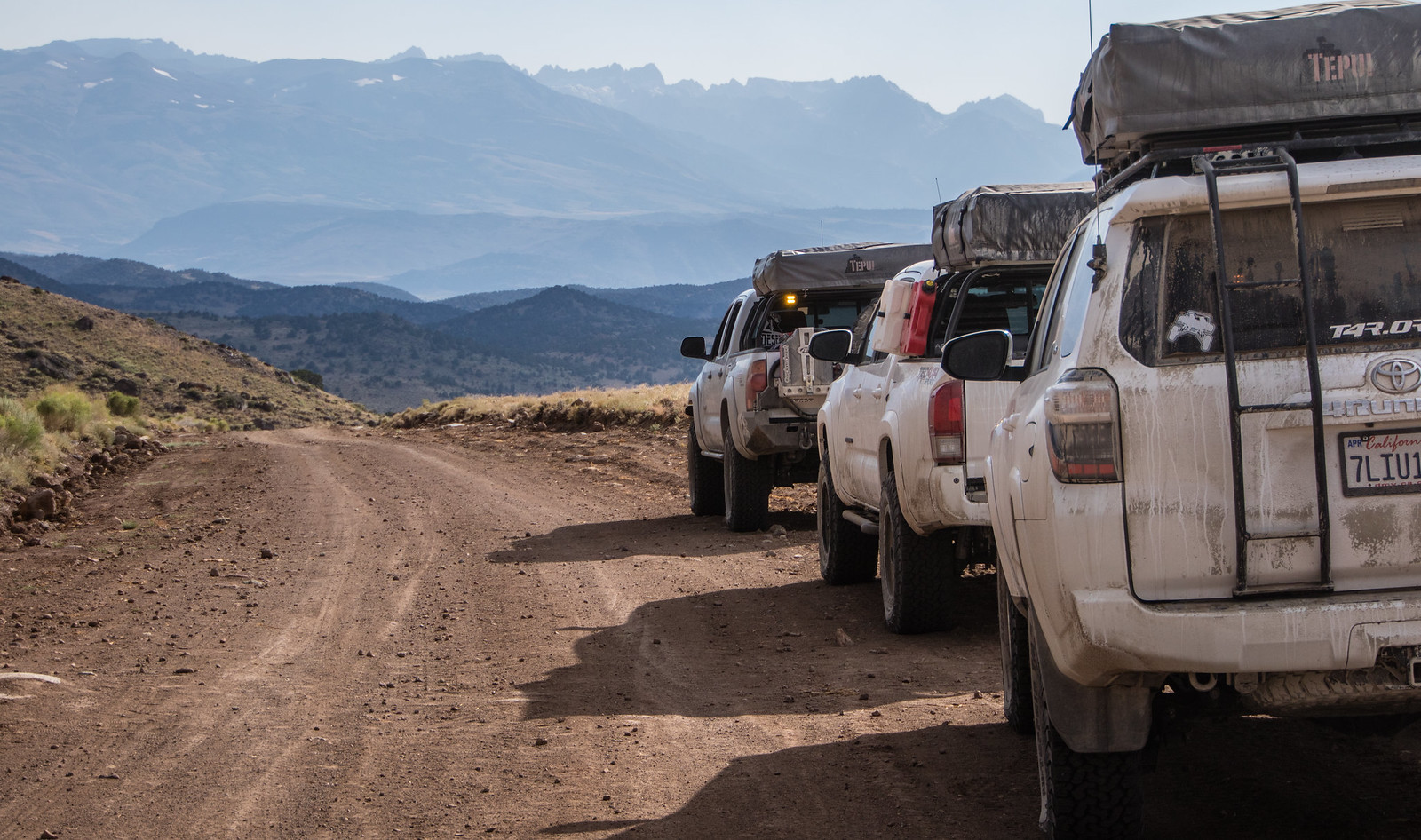
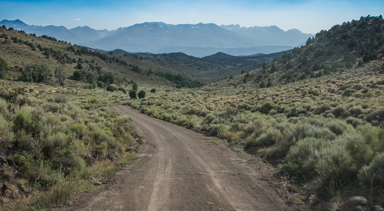
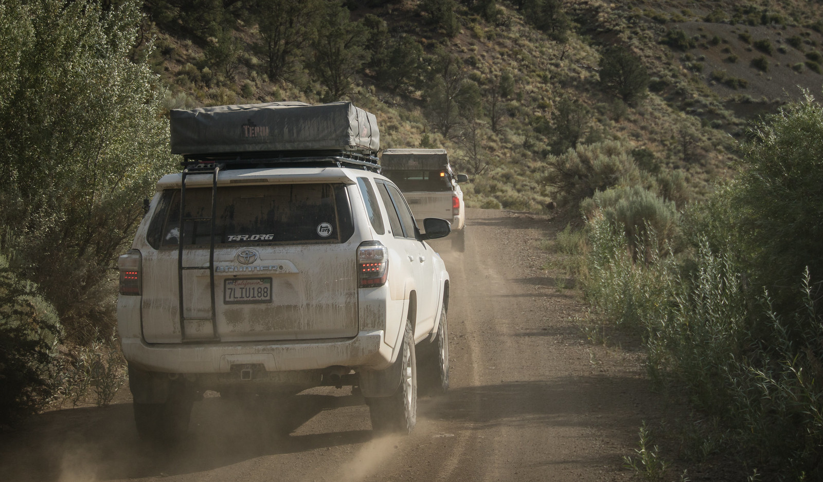
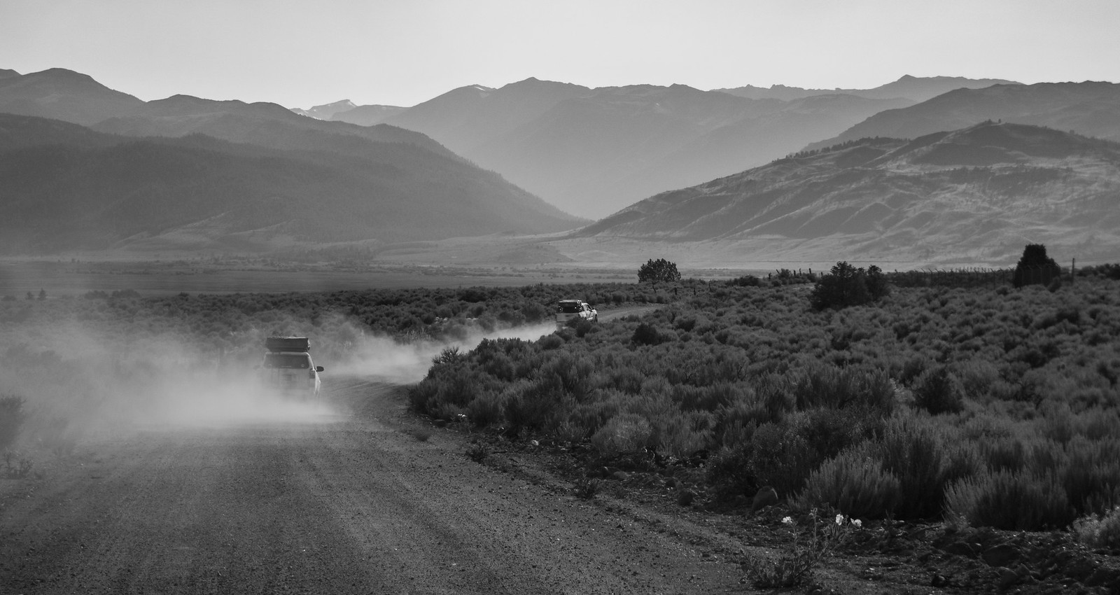
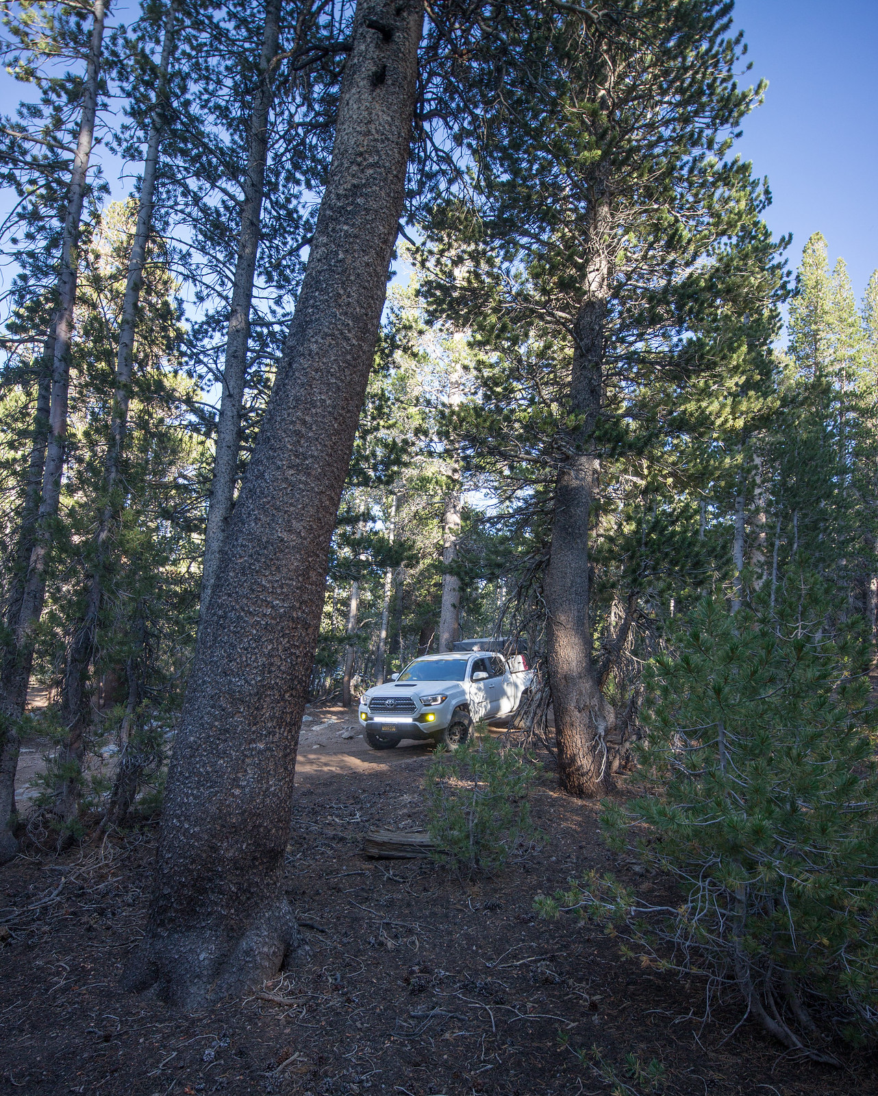
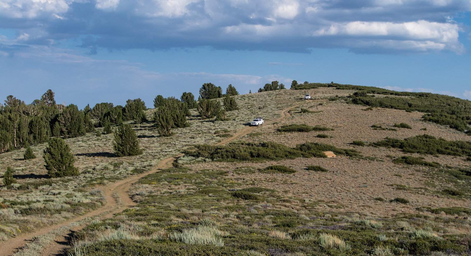
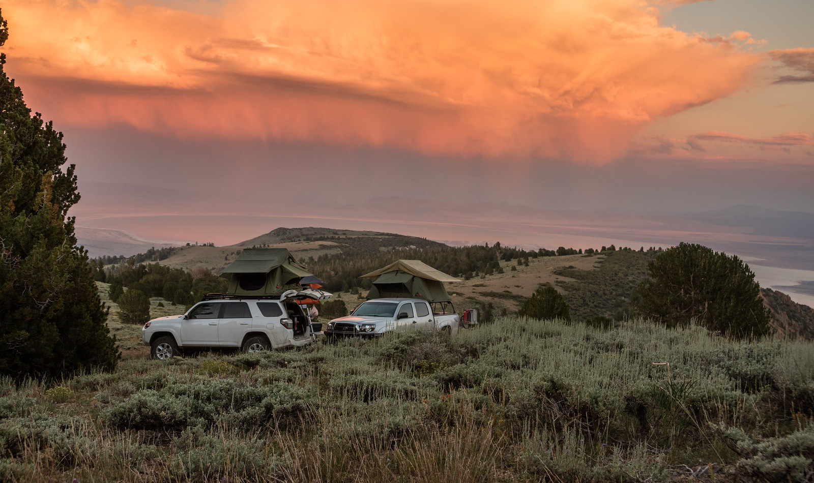
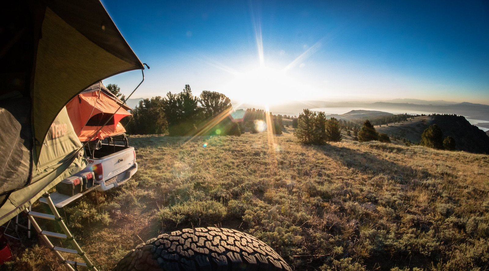
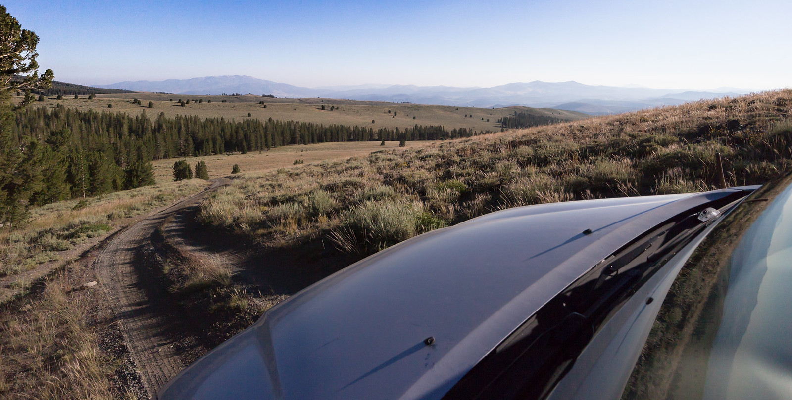
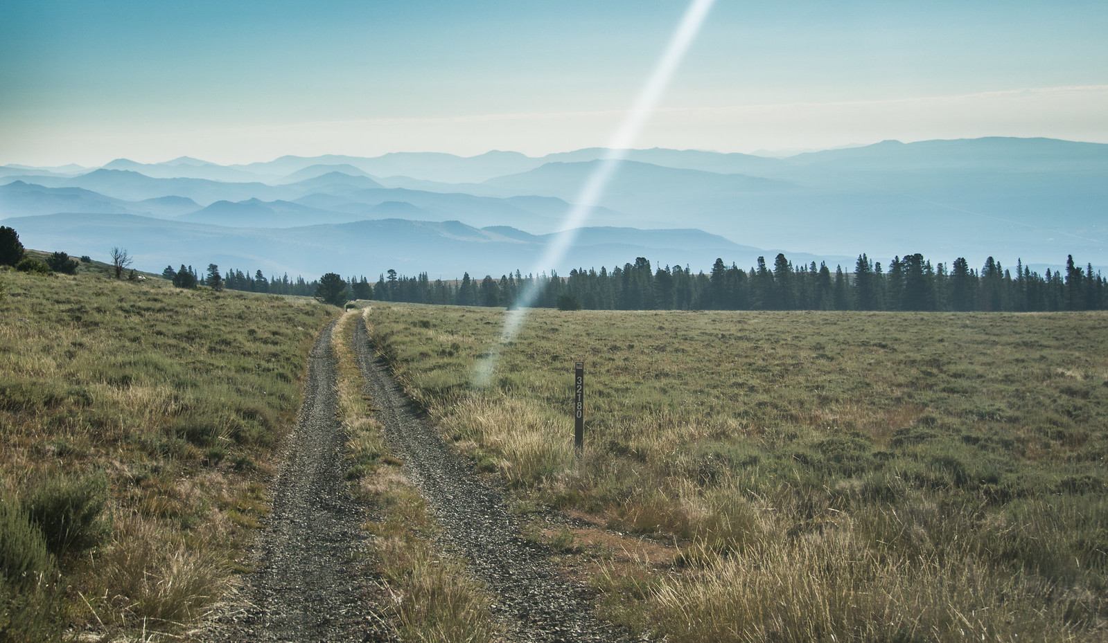
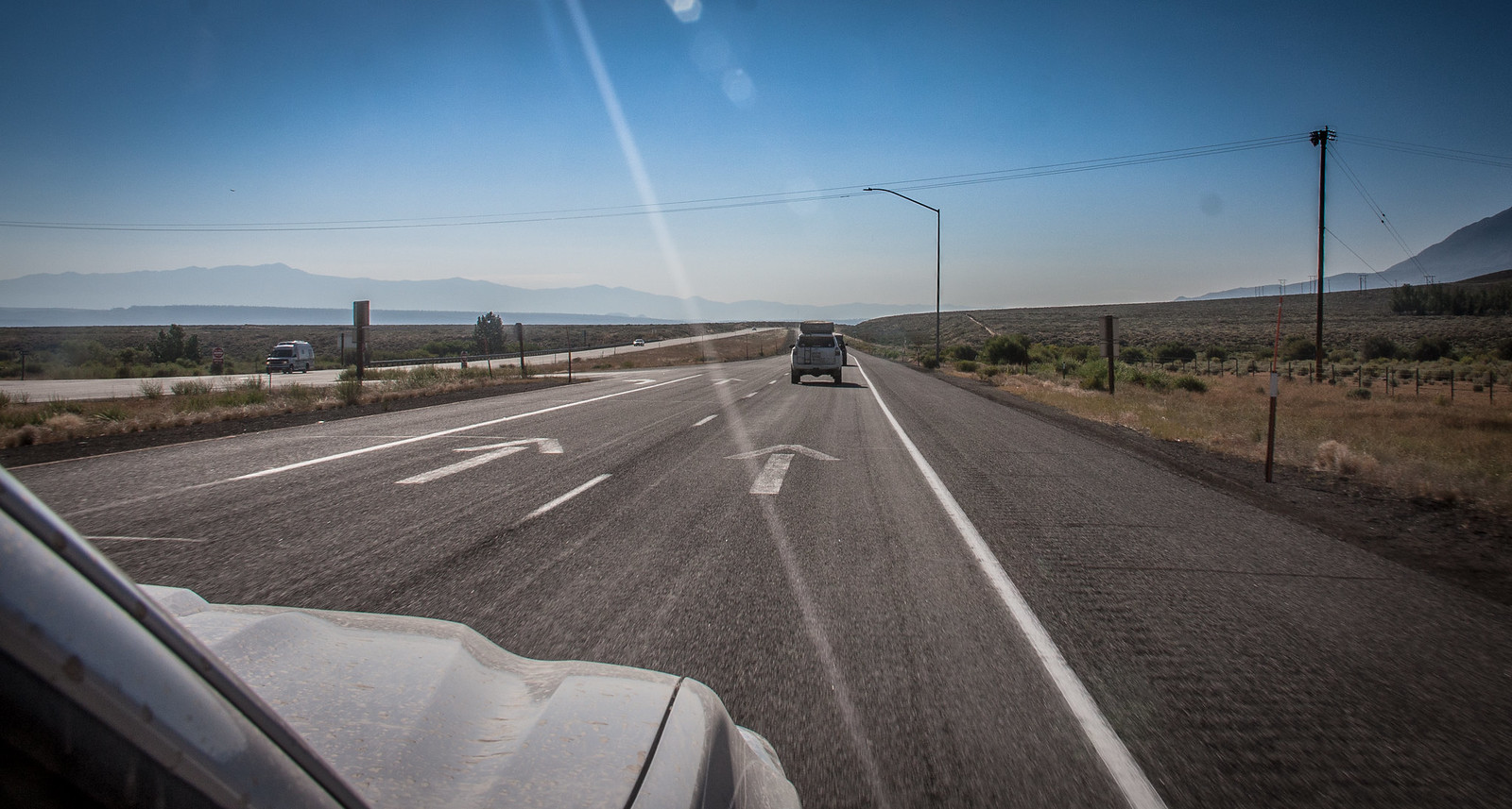
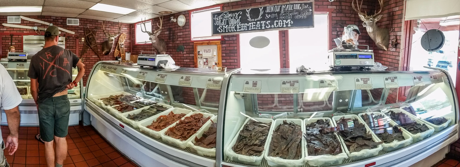
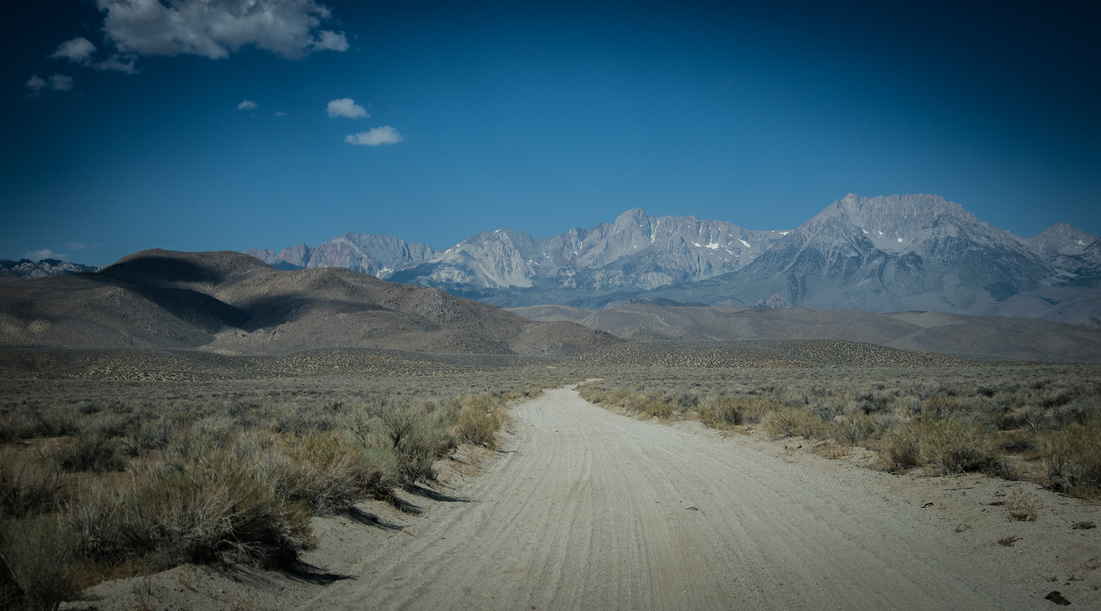
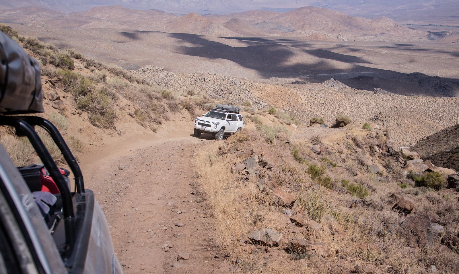
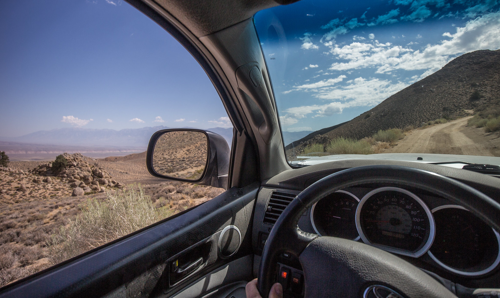
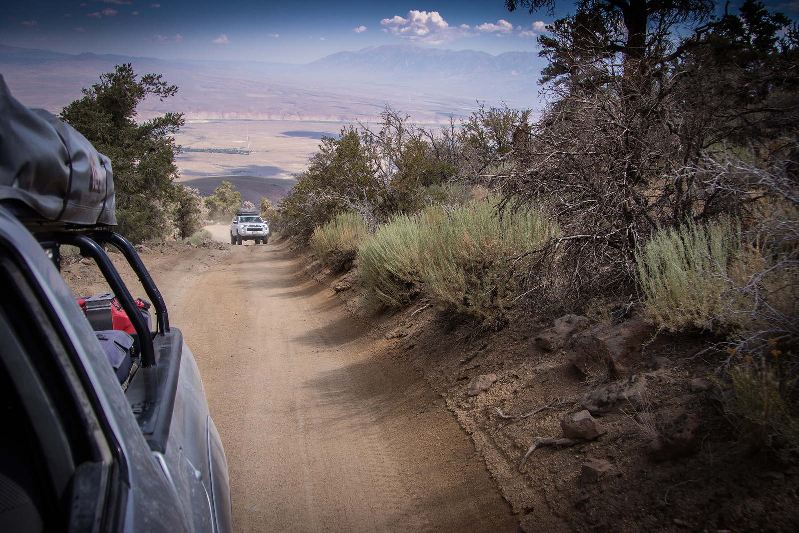
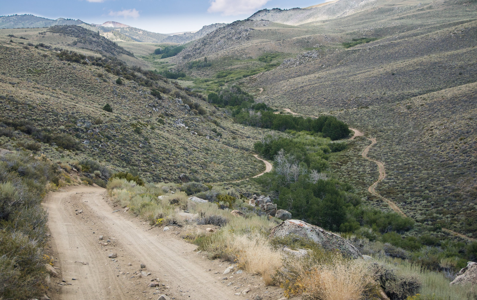
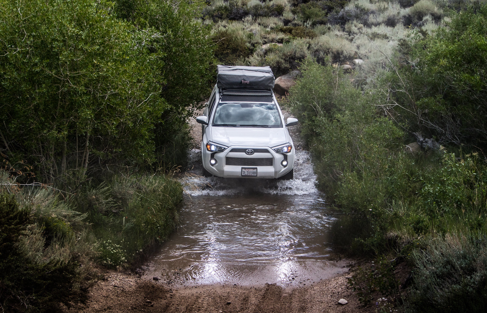
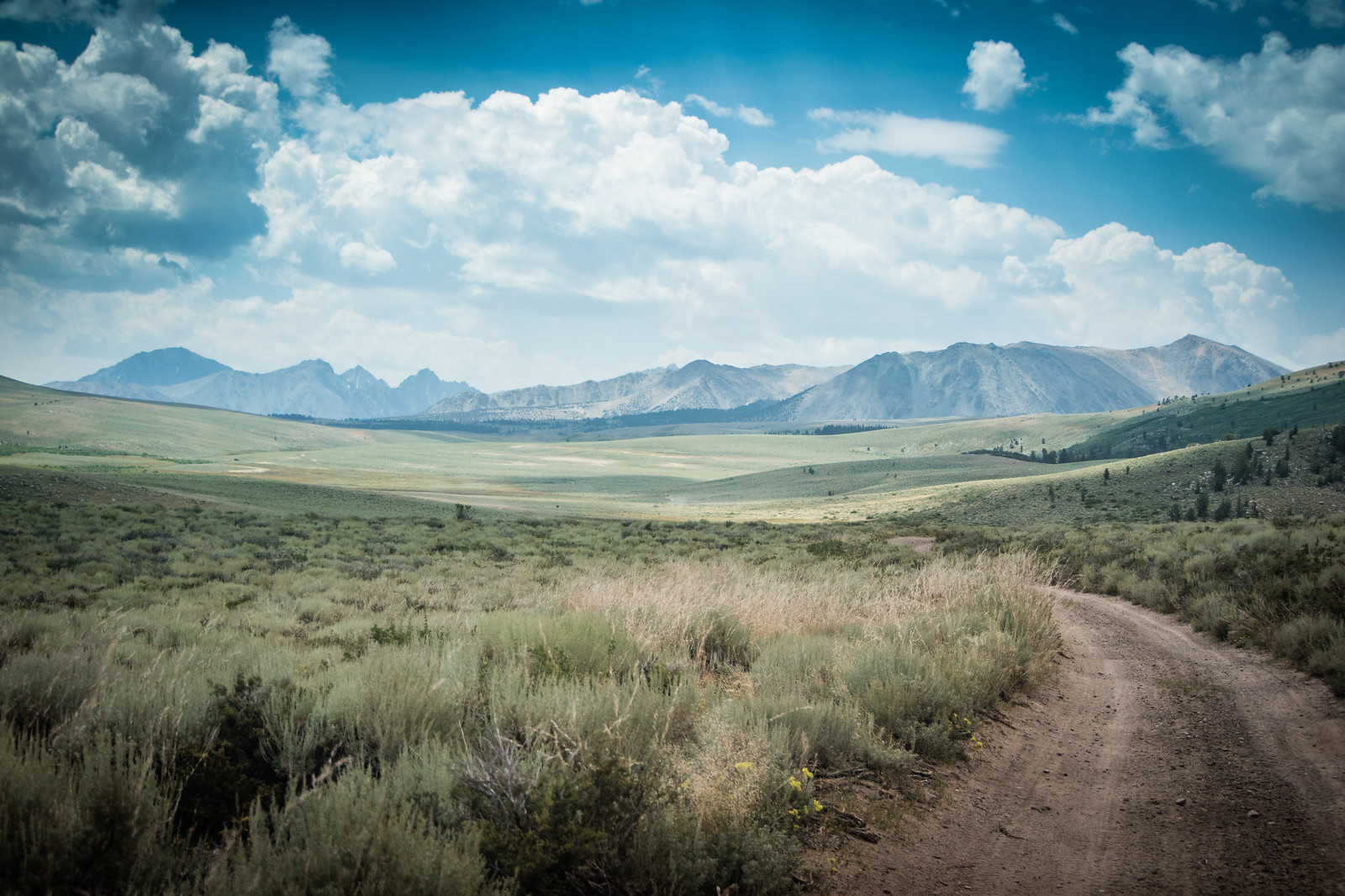
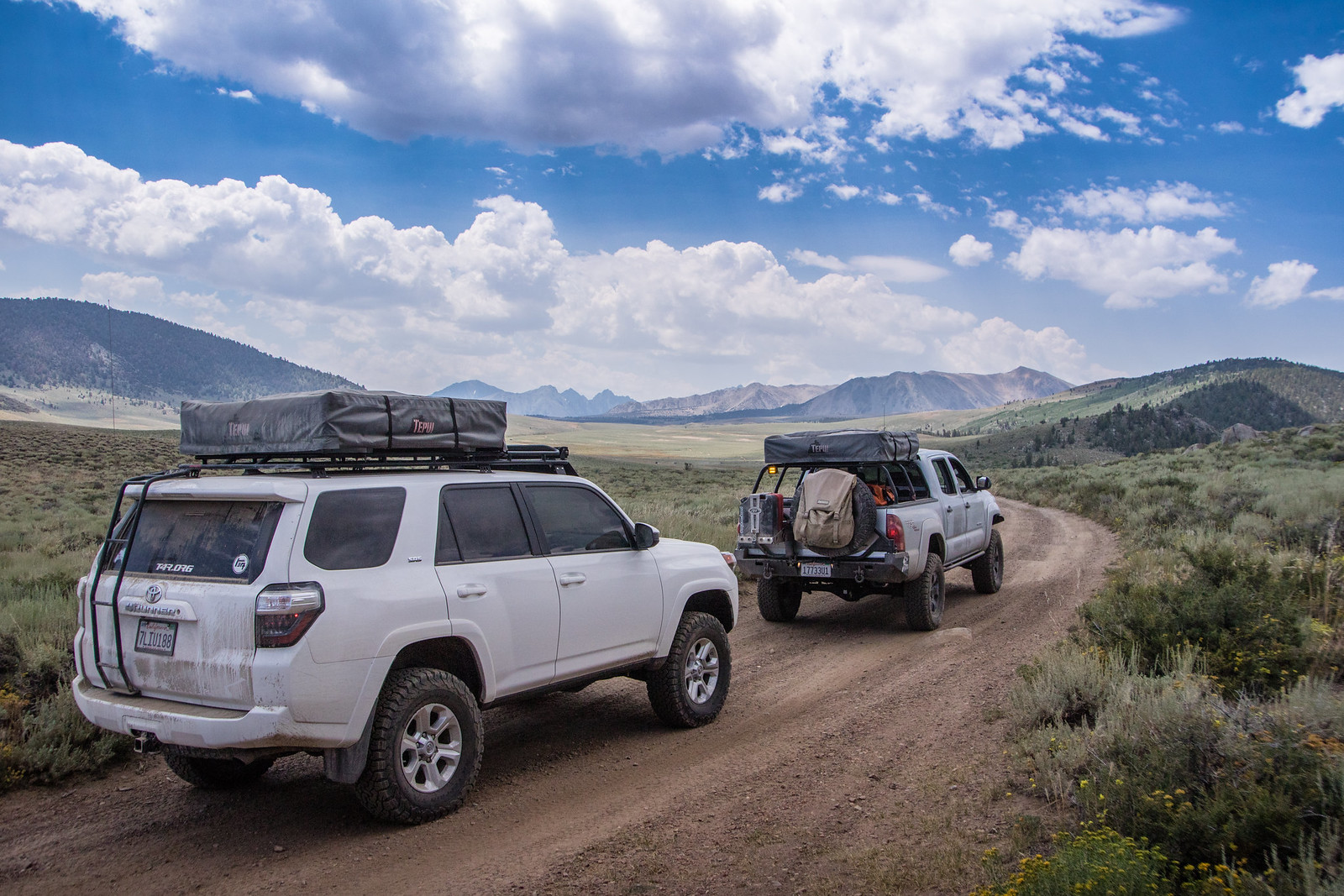
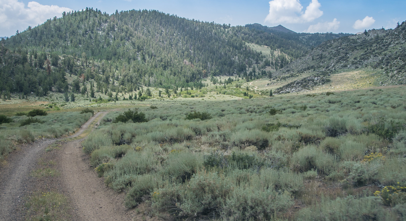
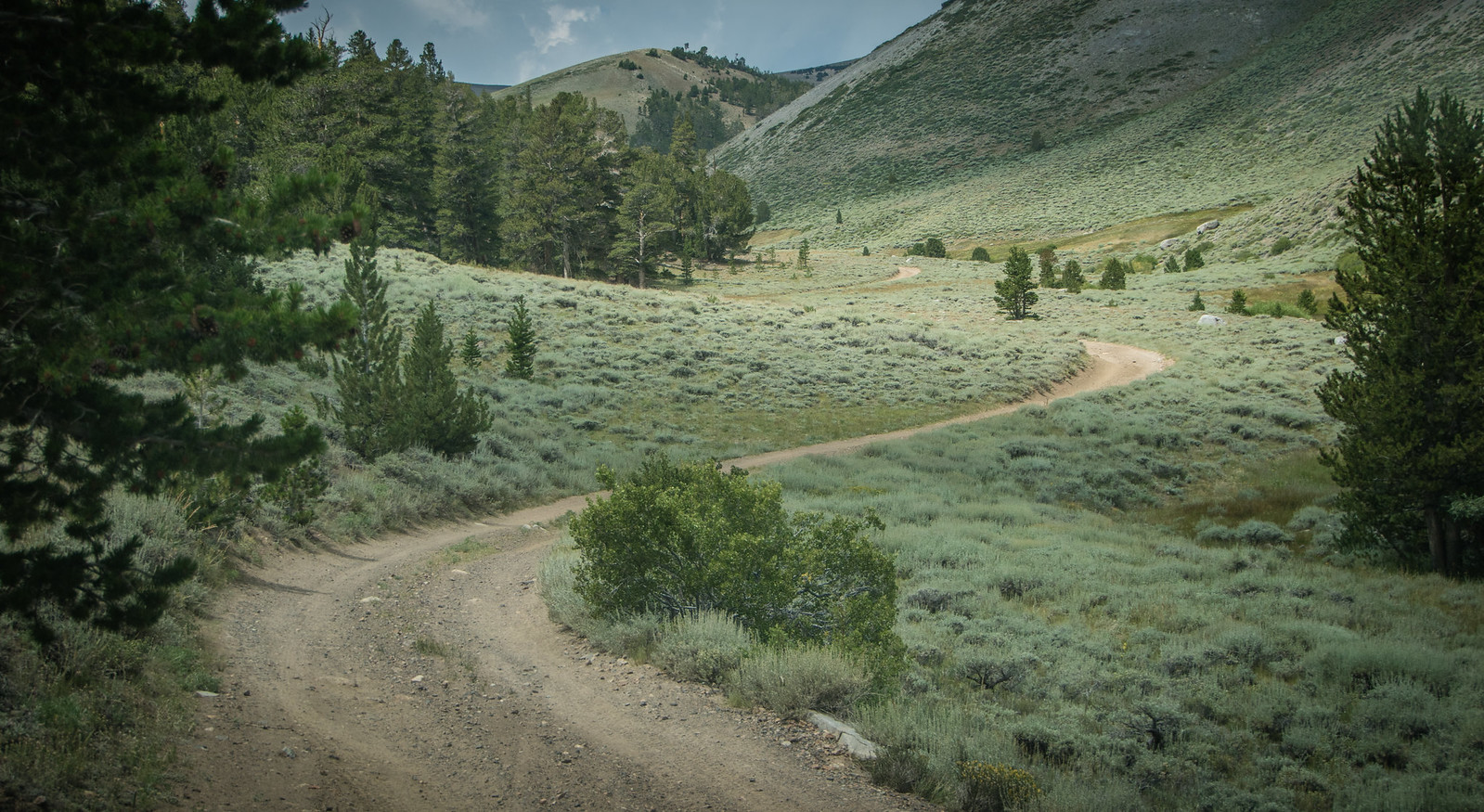
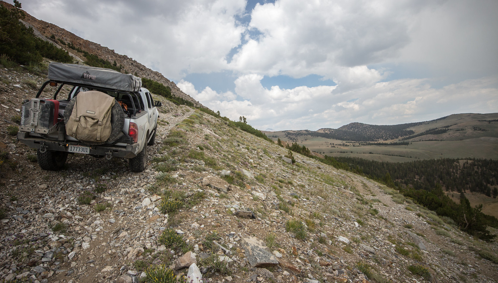
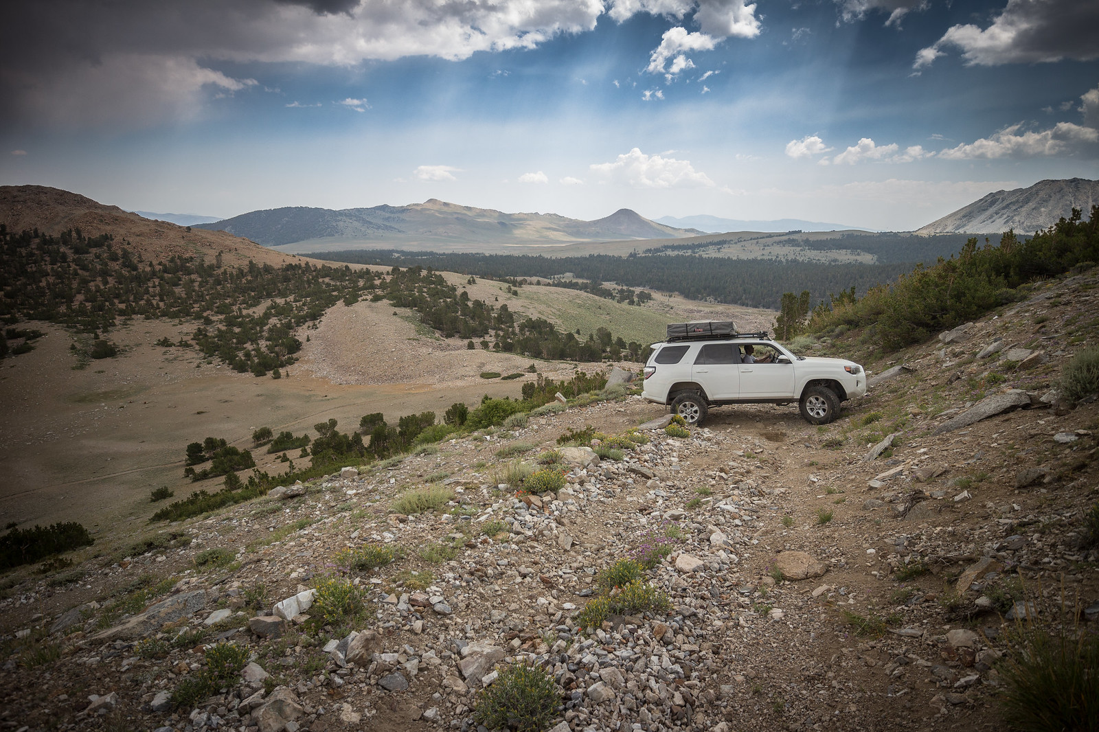
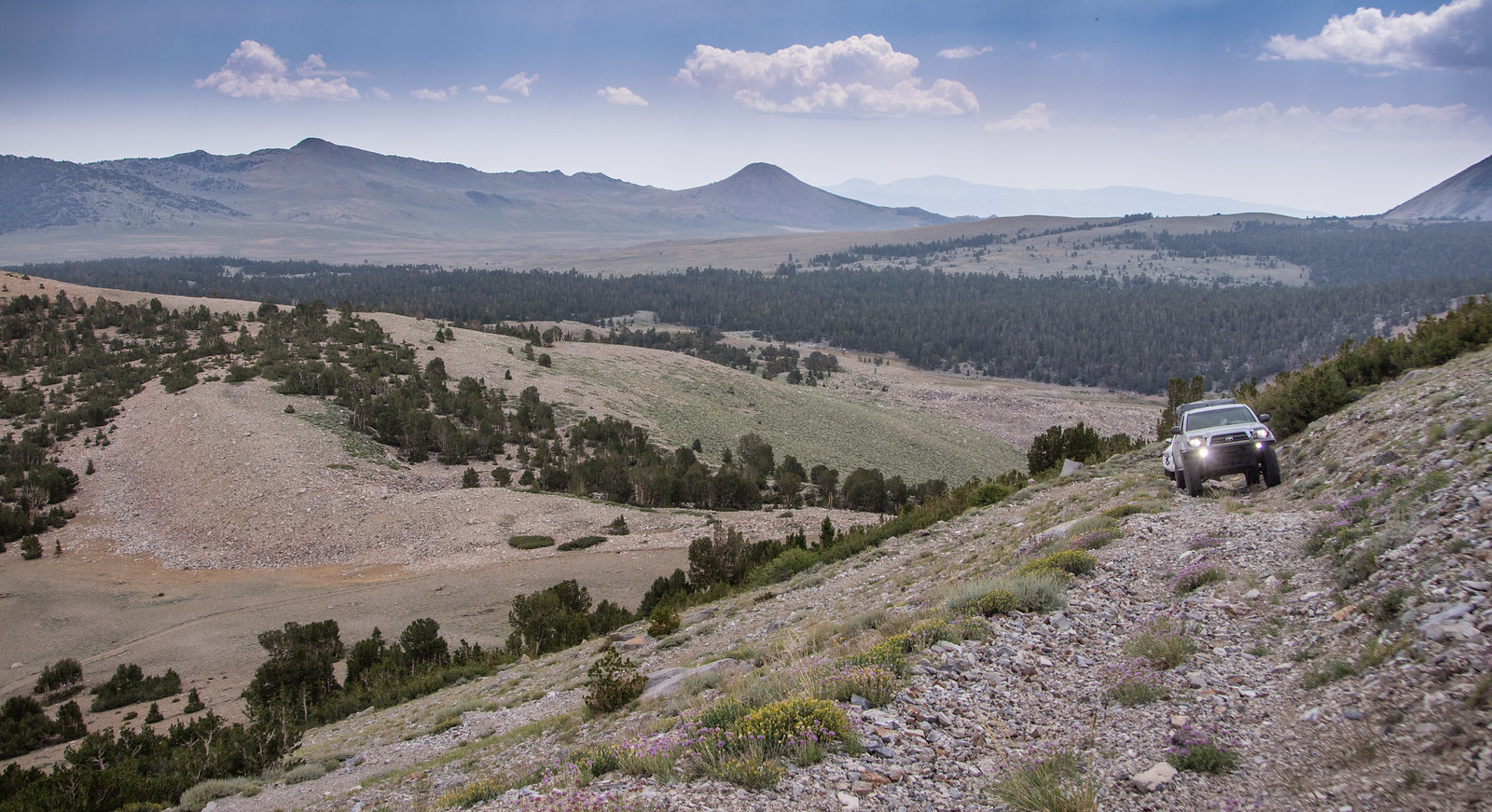
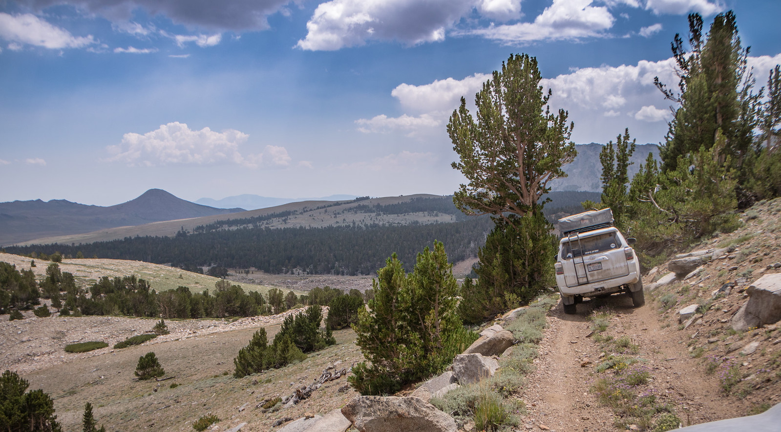
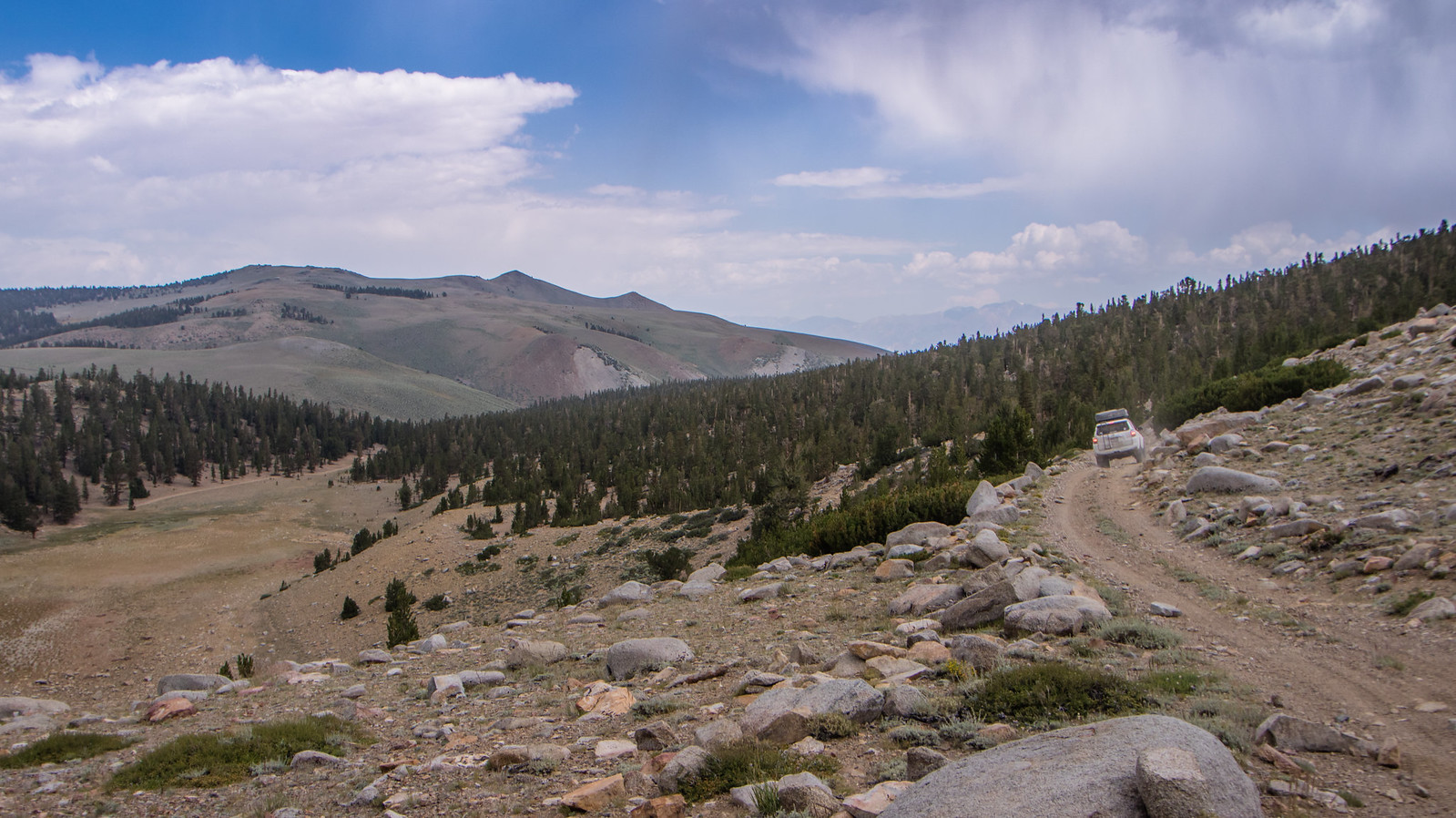
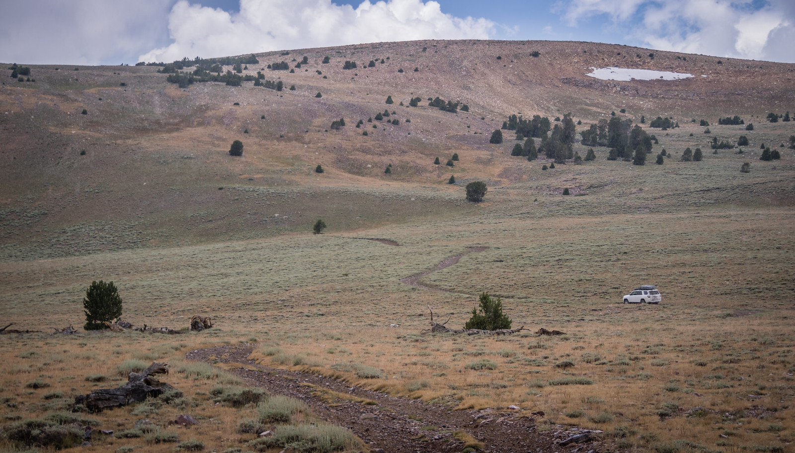
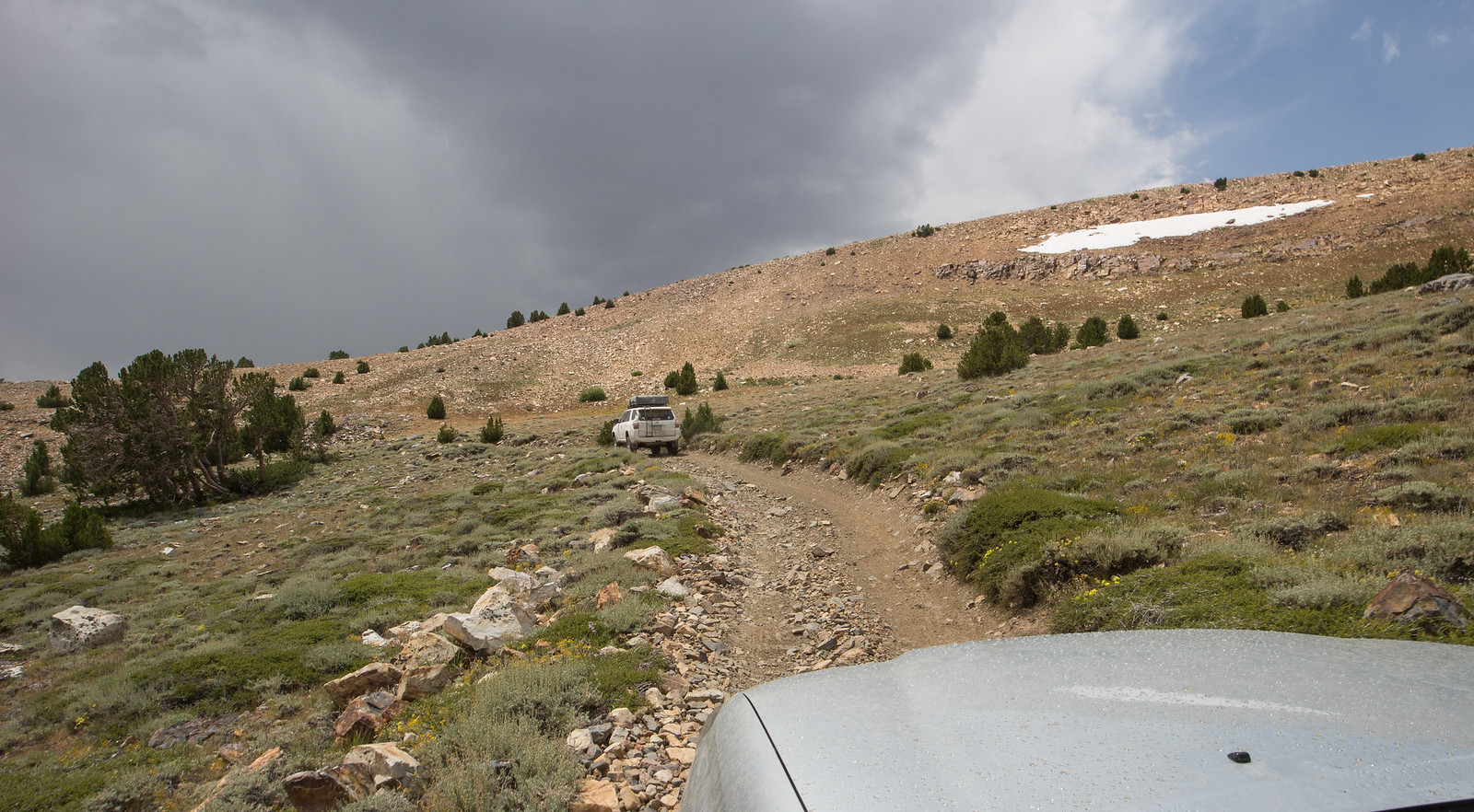
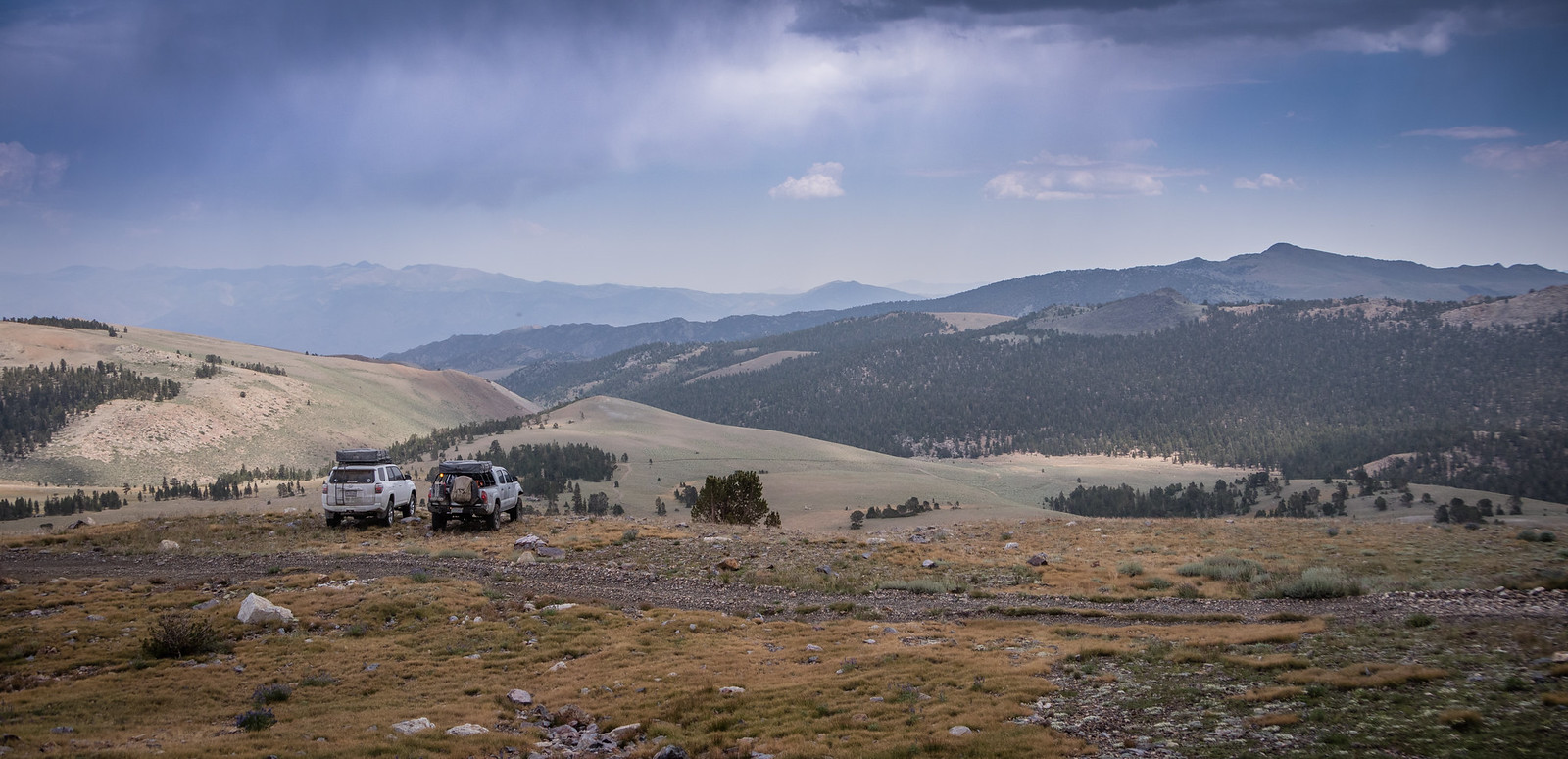
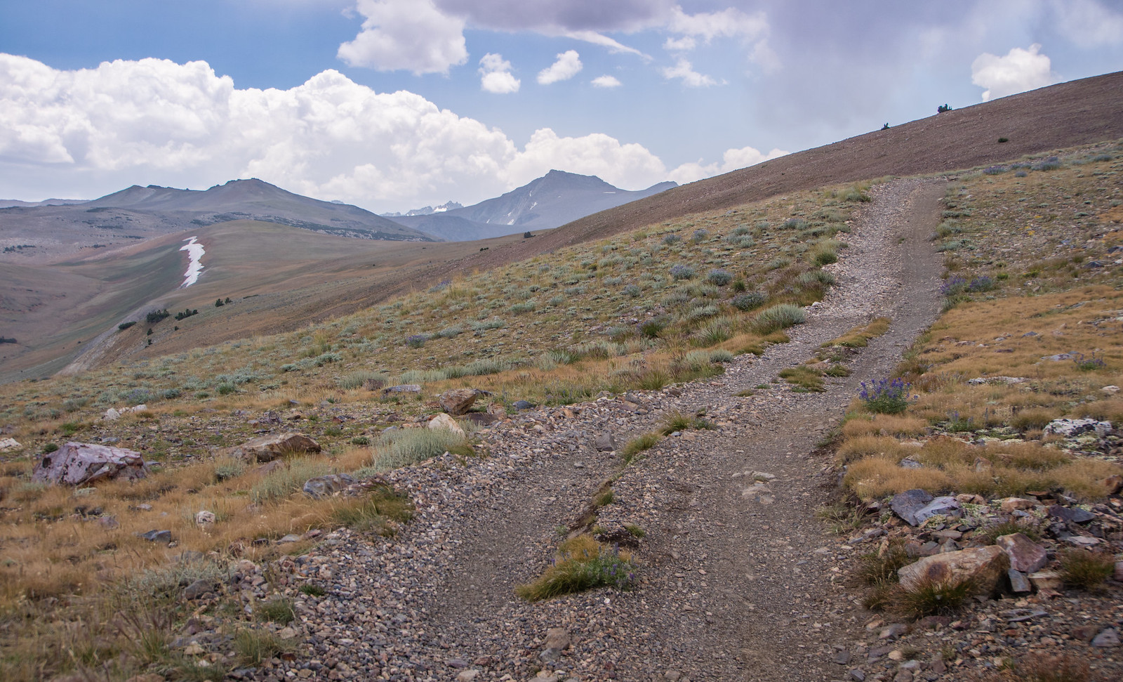
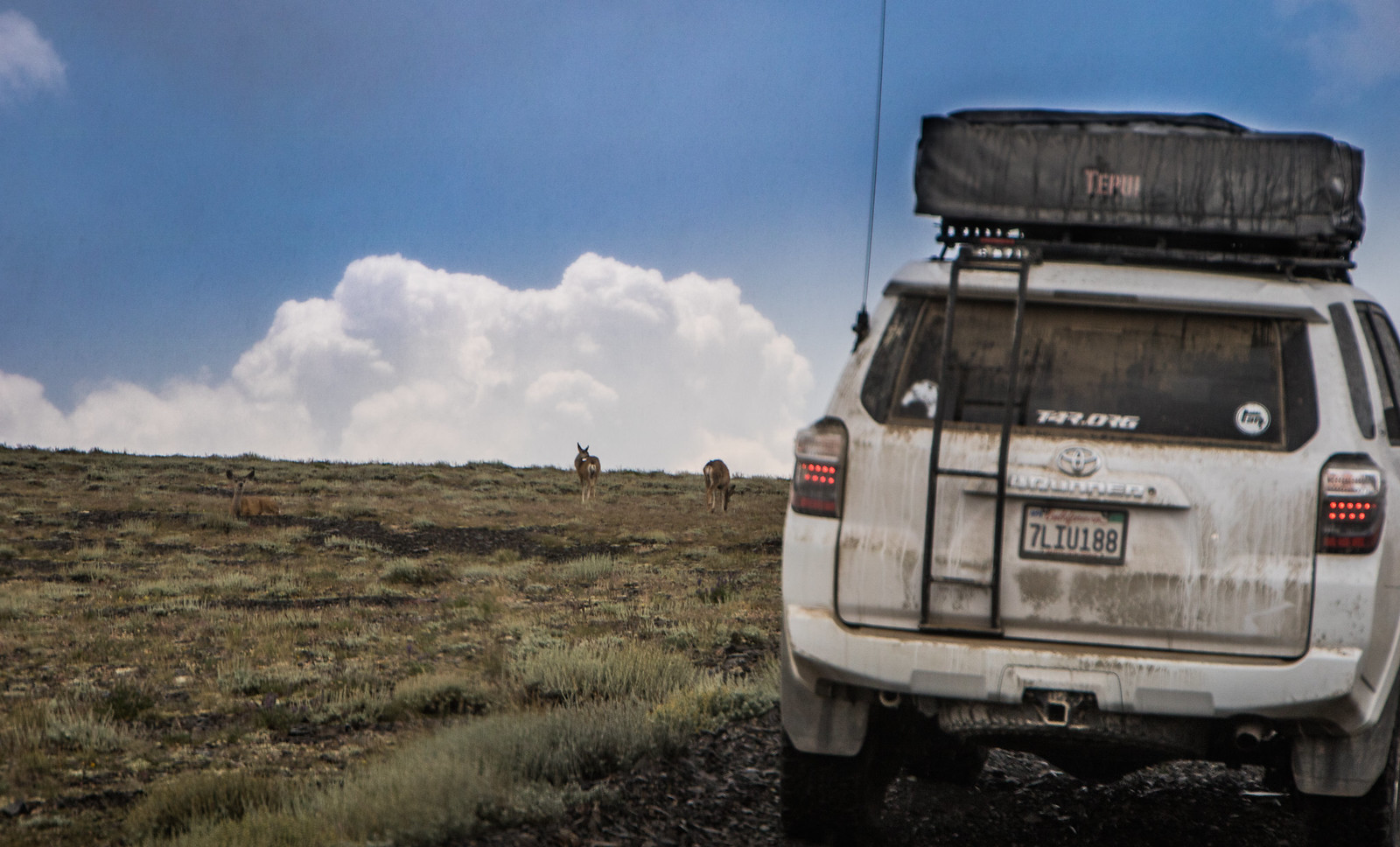
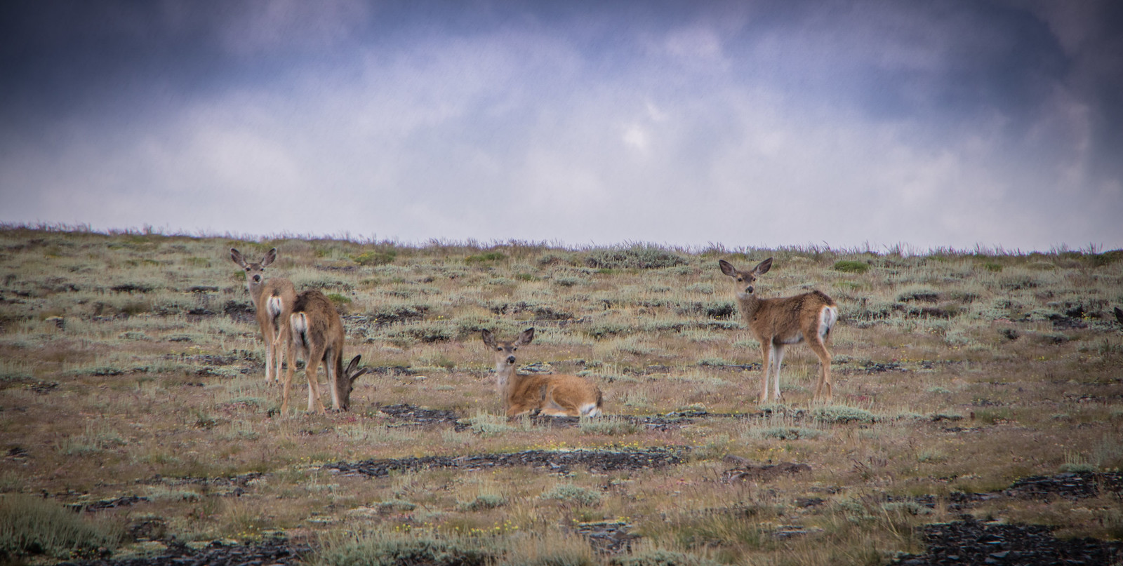
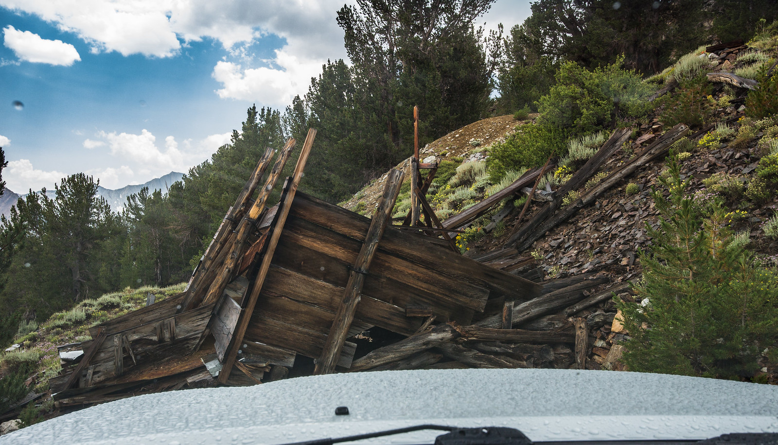
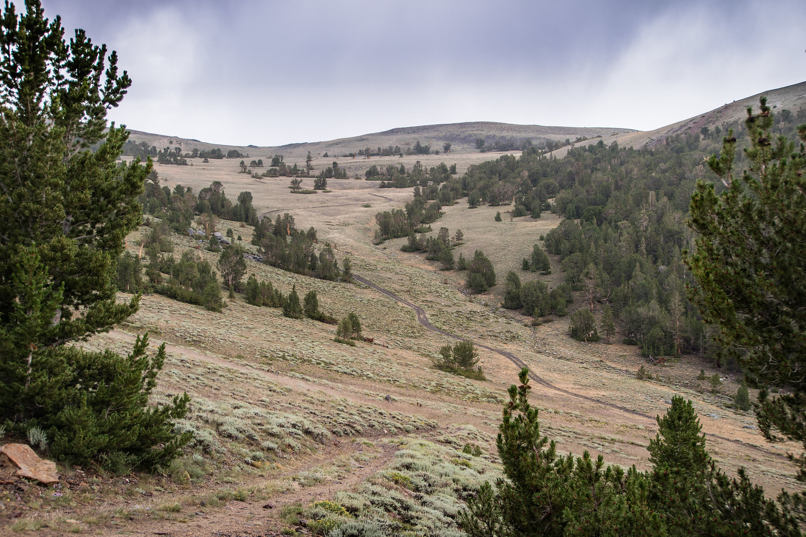
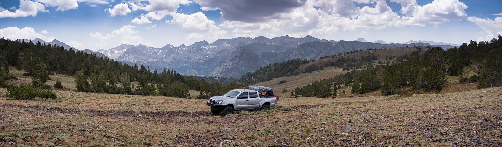
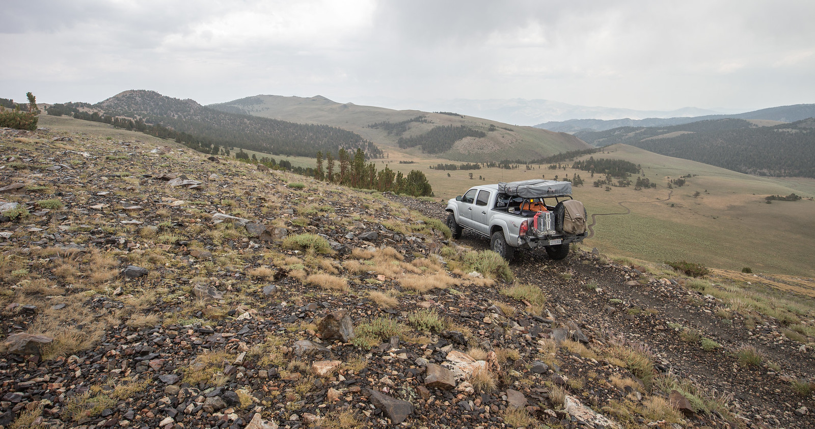
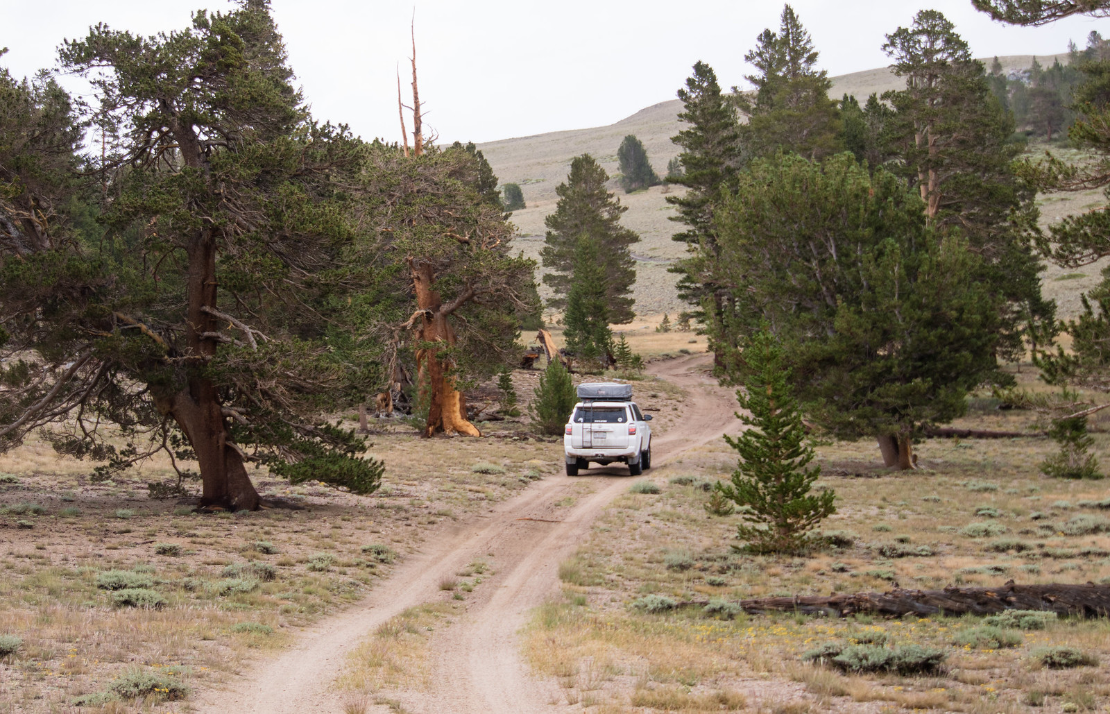
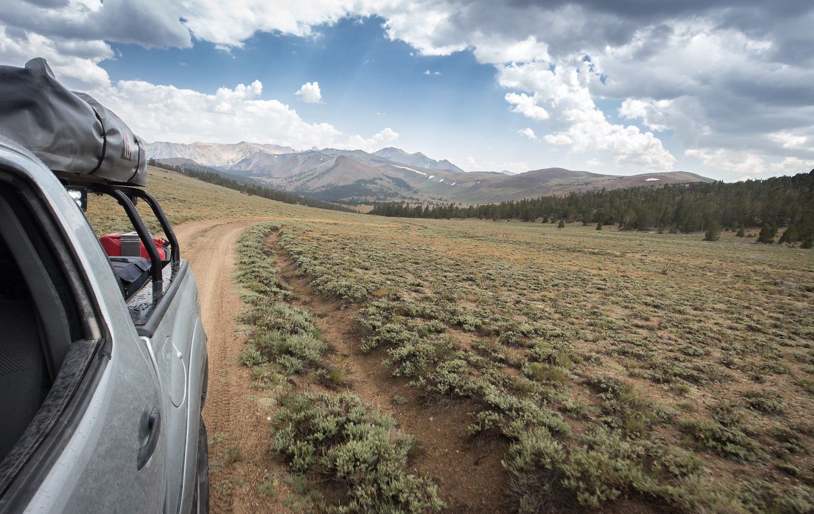
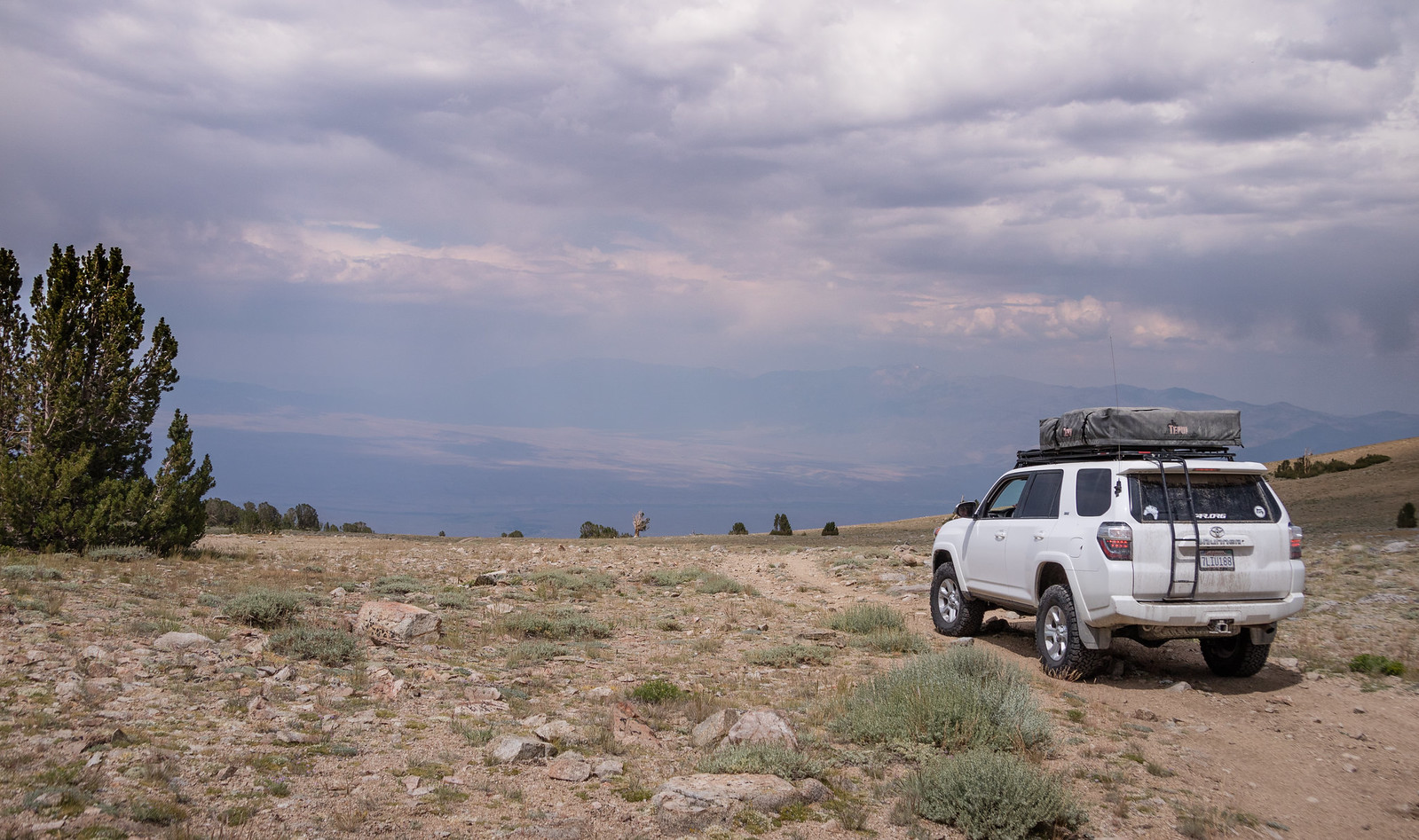
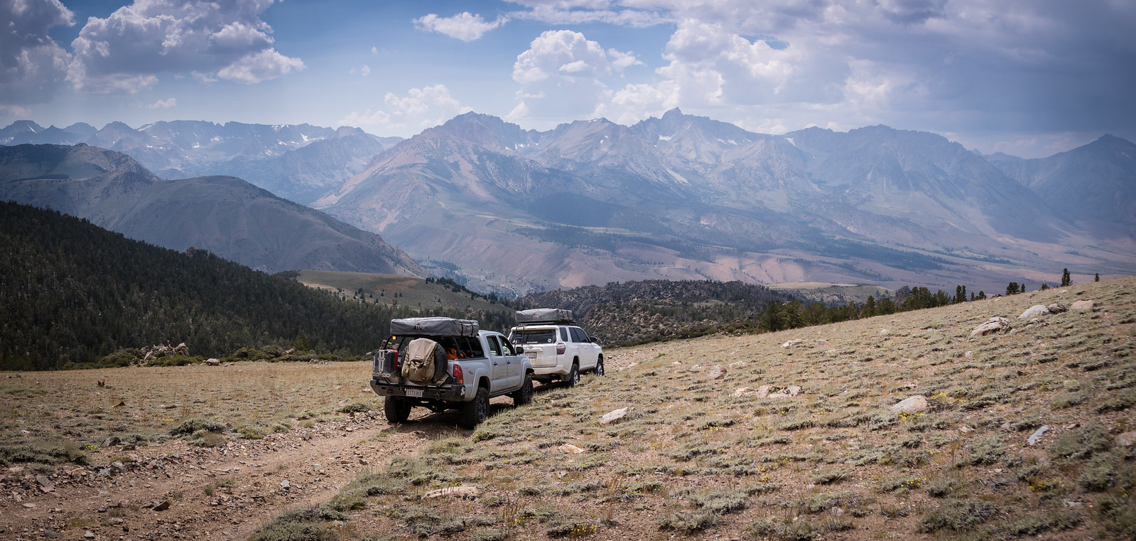
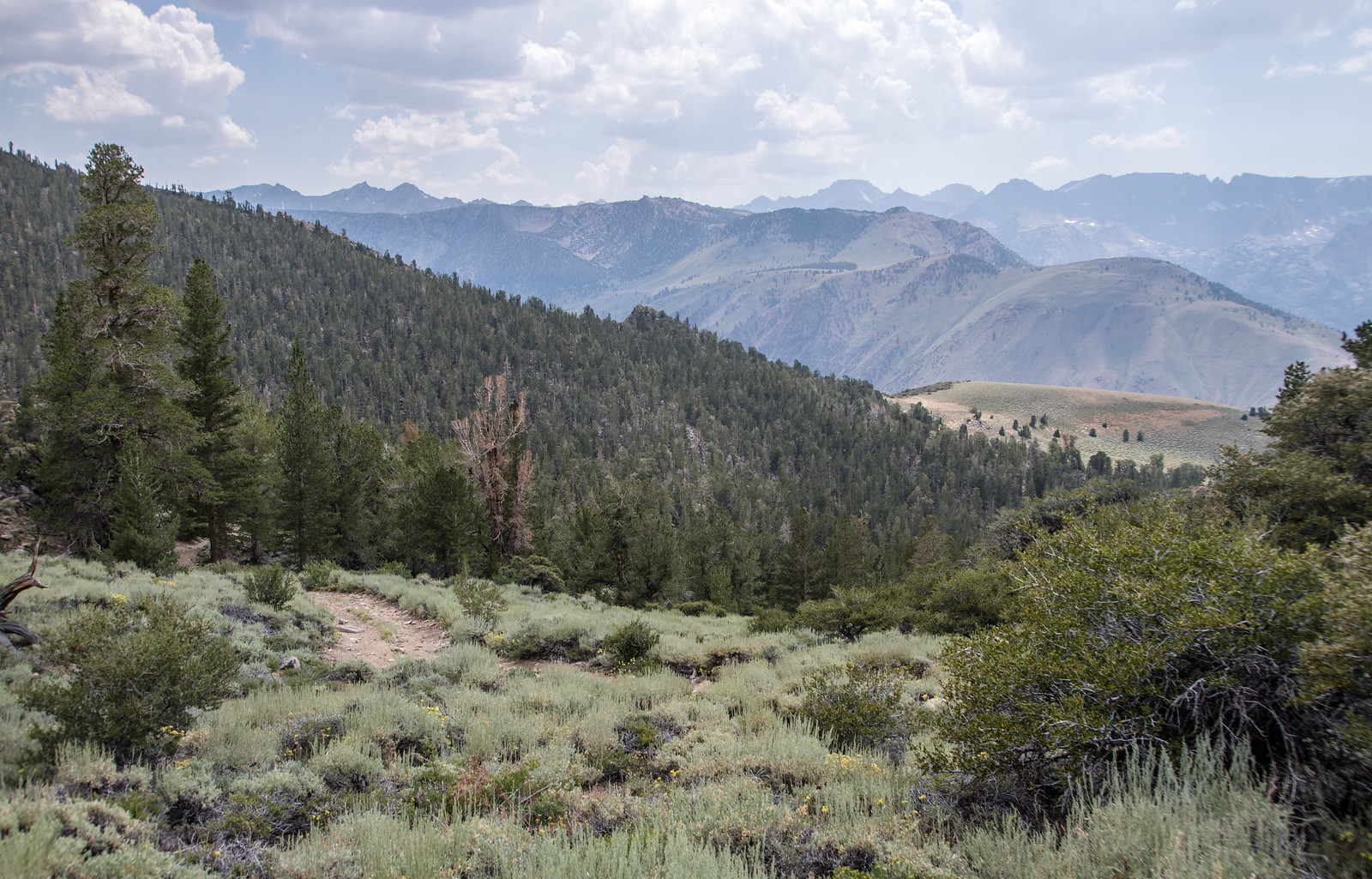
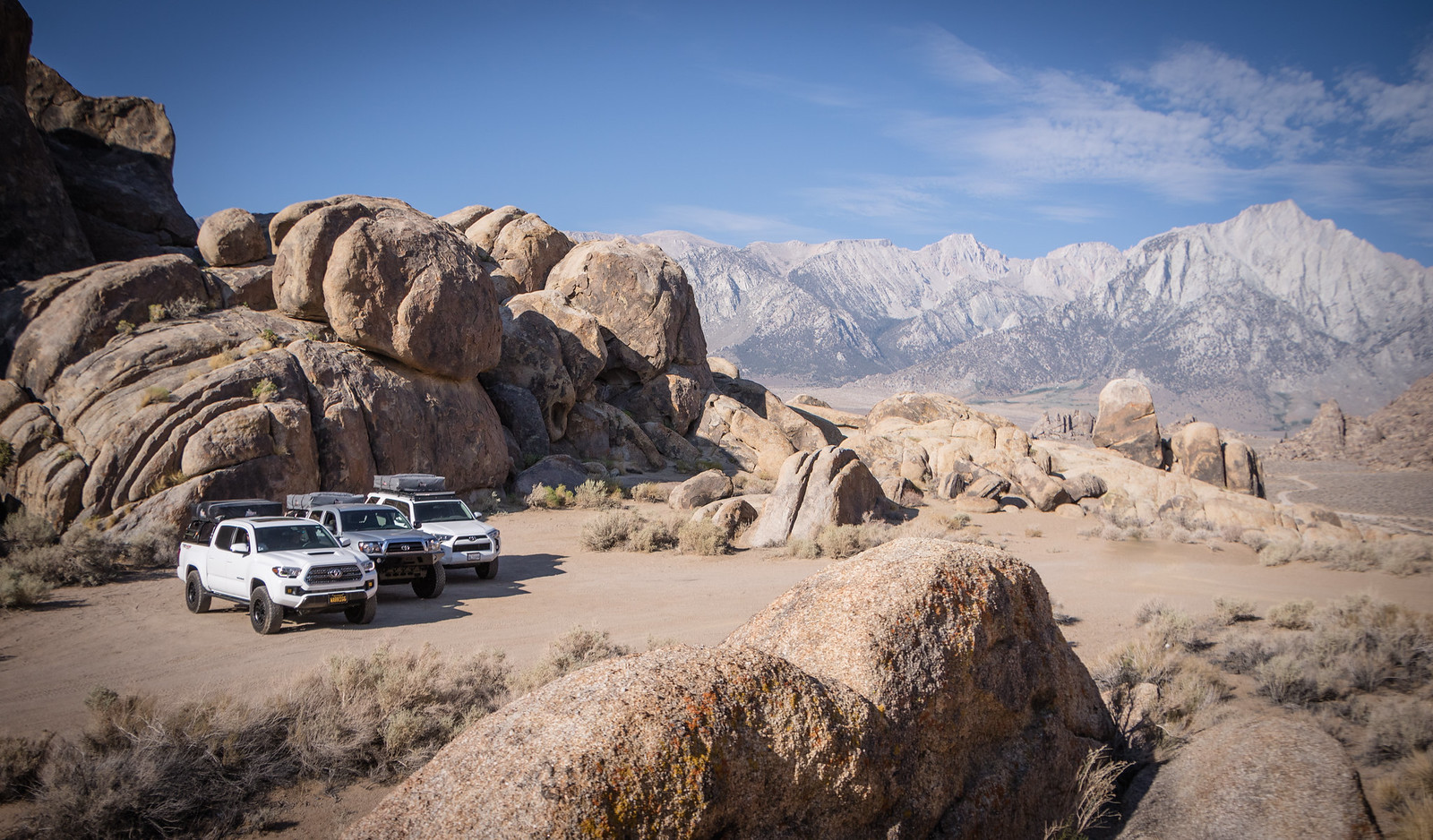
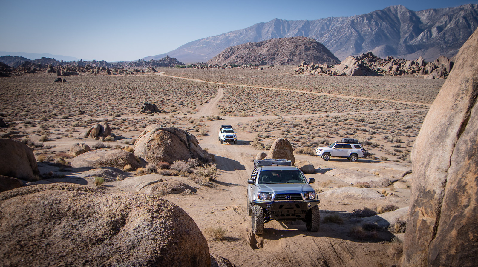
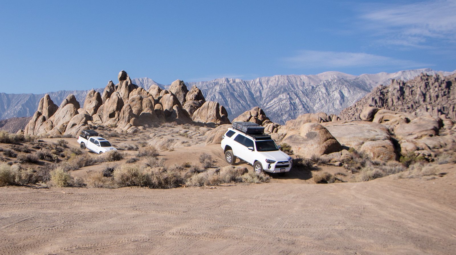
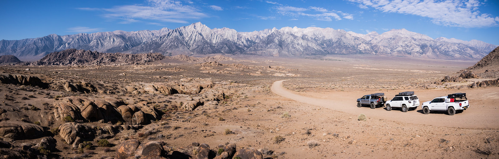
Since we were in the valley the temperature rose quickly and as a result we packed up quickly to get our way towards higher elevations. We'd have to make a stop in Bishop for fuel and breakfast at Schat's Bakery. By the way, how is it even possible to make bread that good?
 https://www.flickr.com/photos/125556024@N05/
 https://www.flickr.com/photos/125556024@N05/
 https://www.flickr.com/photos/125556024@N05/
 https://www.flickr.com/photos/125556024@N05/
 https://www.flickr.com/photos/125556024@N05/
 https://www.flickr.com/photos/125556024@N05/
 https://www.flickr.com/photos/125556024@N05/
 https://www.flickr.com/photos/125556024@N05/
Our newly found freedom allowed for some welcomed flexibility - leaving a day early, more diverse camping spots and the ability to cover ground more efficiently. This ended up turning into a win, win, win situation!
We left Wednesday after work and met up at the Pilot at the 15 & 395 interchange. Fueled up, grabbed a quick bite and set off for our first camp which was to be in the Alabama Hills, just west of Lone Pine.
https://www.flickr.com/photos/125556024@N05/We pulled onto Whitney Portal road right about 9:30 and made the drive towards the famous landscape. Just as we were to make the turn onto Movie Rd a bright light appeared on-top of the mountain. At first, it looked like maybe a vehicle coming down the road, but soon the light began to cast light like a search helicopter. It was coming right at us as we pulled over to get out of the vehicles for a better look. We stood there in awe once we knew it wasn't a car, helicopter or plane. Our adrenaline pumping as whatever it was passed nearly right above us. Was is a meteor? A failed rocket launch? A disintegrated plane? Nearly a minute went by as we watched whatever it was come apart in the dark skies - fragmented fireballs scattering as it flew over the eastern horizon. Throughout it all, I kept thinking I should grab my camera but for some reason never did. Sort of bummed I didn't.
We continued to our camp for the night to relax around the propane campfire before calling it a night. A long adventure awaits us in the morning.
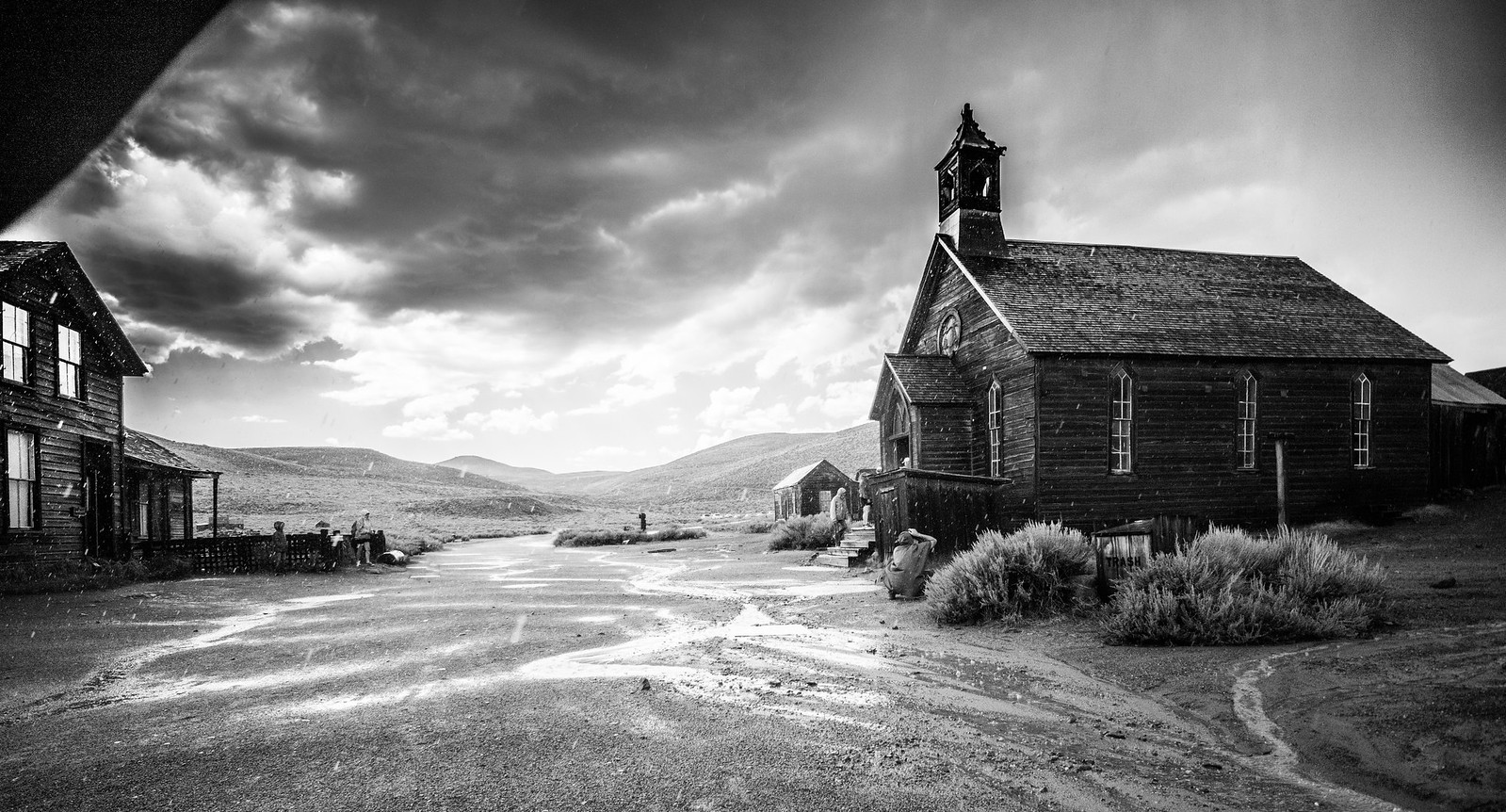
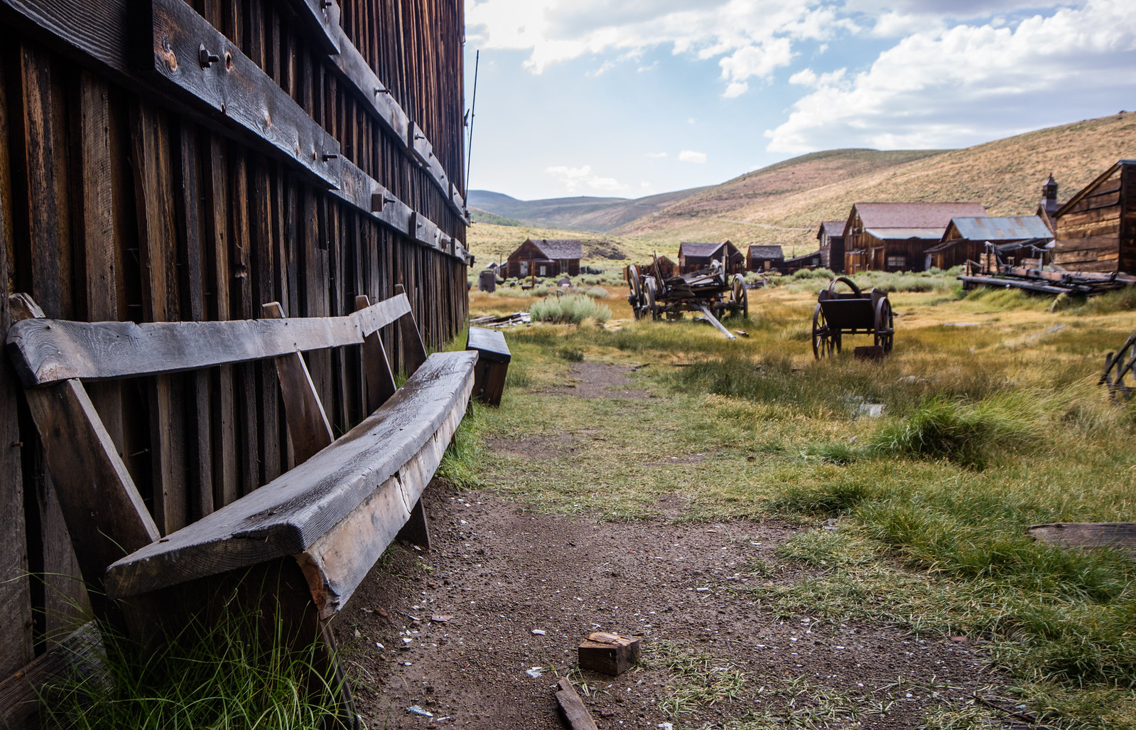
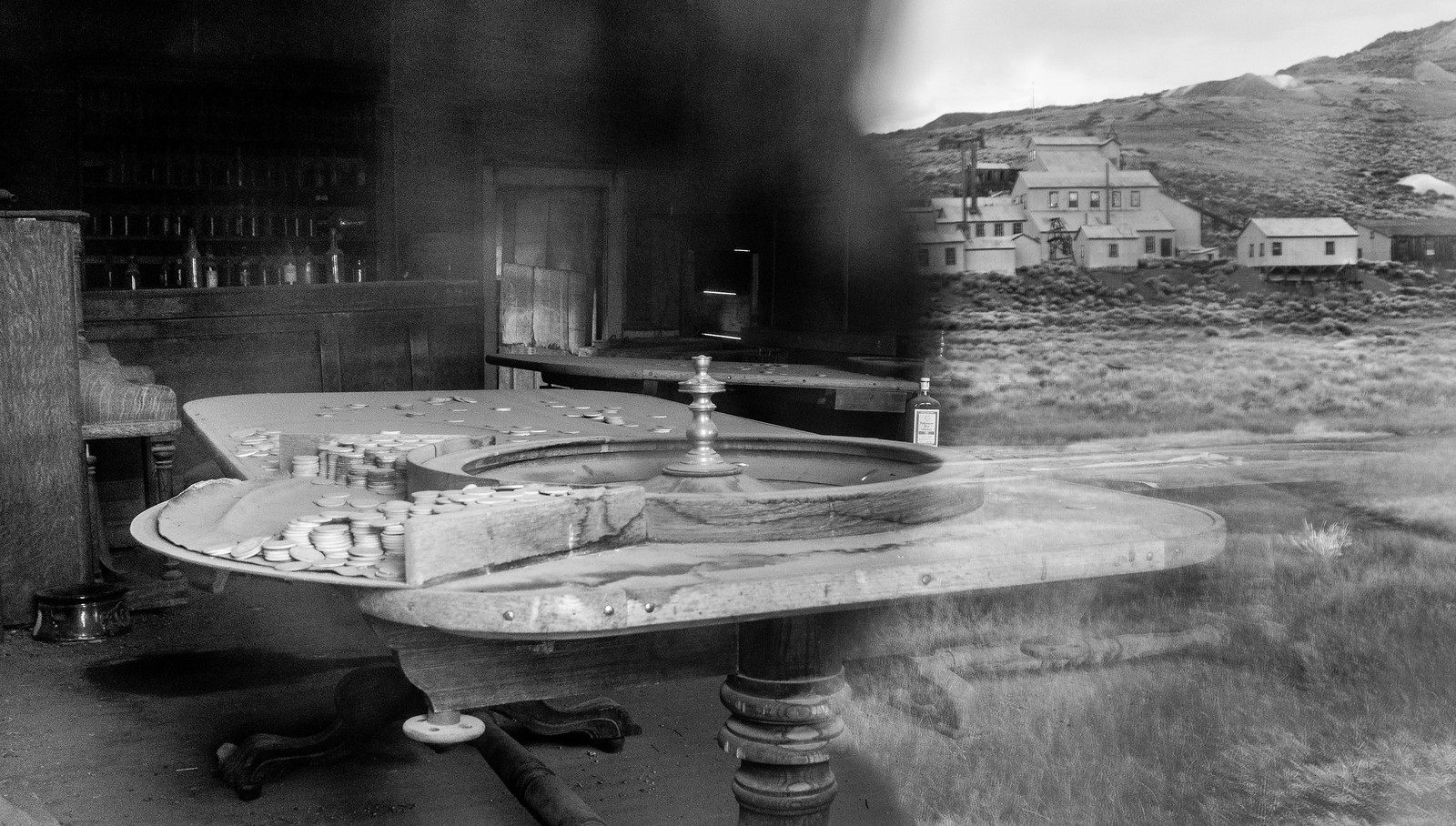
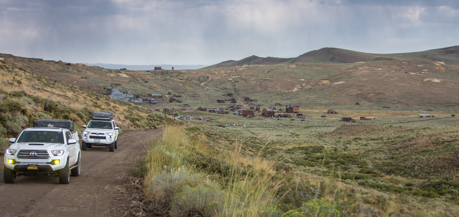
https://www.flickr.com/photos/125556024@N05/https://www.flickr.com/photos/125556024@N05/https://www.flickr.com/photos/125556024@N05/Since we were in the valley the temperature rose quickly and as a result we packed up quickly to get our way towards higher elevations. We'd have to make a stop in Bishop for fuel and breakfast at Schat's Bakery. By the way, how is it even possible to make bread that good?
https://www.flickr.com/photos/125556024@N05/https://www.flickr.com/photos/125556024@N05/https://www.flickr.com/photos/125556024@N05/https://www.flickr.com/photos/125556024@N05/https://www.flickr.com/photos/125556024@N05/https://www.flickr.com/photos/125556024@N05/https://www.flickr.com/photos/125556024@N05/https://www.flickr.com/photos/125556024@N05/