Trail Blazer II
- 6,140
- First Name
- Shaun
- Last Name
- Johannes
- Member #
15310
- Ham/GMRS Callsign
- KE8TDZ
Trail Blazer II
15310

Traveler II

Enthusiast I
31554

Member II
30139

Protector II
18296

Enthusiast III

Contributor III
31595

Traveler III
Enthusiast I
31554

Endurance II
46889
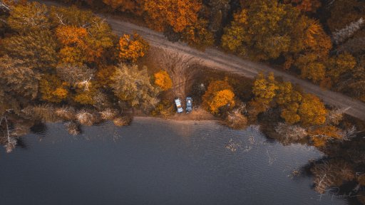
Just got one, not a toy but not high end either, got a DJI Mavic Mini, flown it once and love it, video quality seems pretty darn nice, got tons to learn......
Anyone got a drone? Pics? Vids?
Jim

Advocate I
Is that Transfer Trail out of Glenwood Springs?
Traveler III


We just recently got a drone and are still learning how to use it. Curious as to why they are not allowed in national parks. Is it for fear of overcrowding or a nuisance?

Member III
19548


Enthusiast III


Enthusiast I
31554
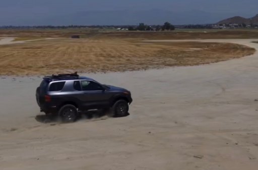
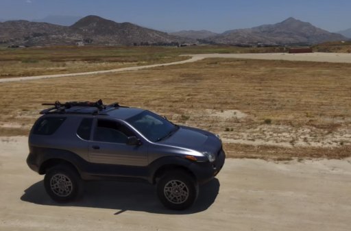
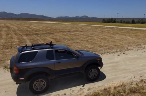
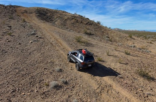
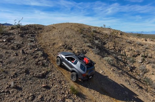
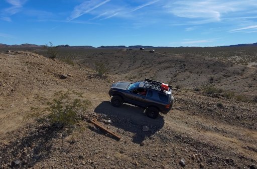
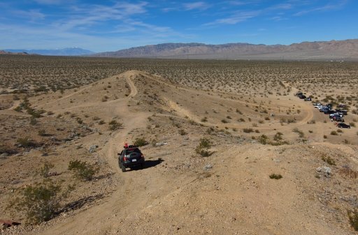
And the weather looks beautiful!Here i’m climbing some hills in the Jeep Trail playground in Desert Center, CA.
33.63094° N, 115.73294° W
My first time. I was quite nervous, but my Vehicross handled it beautifully,

Steward II
10123


.jpg")

.jpg")