Influencer II
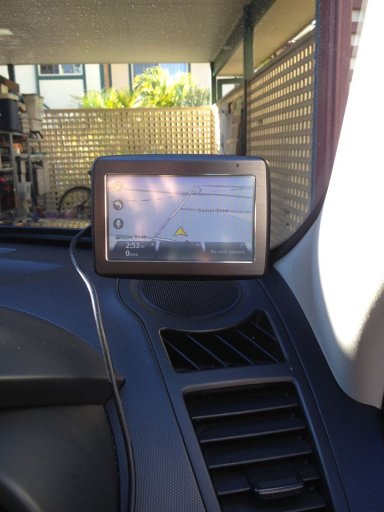
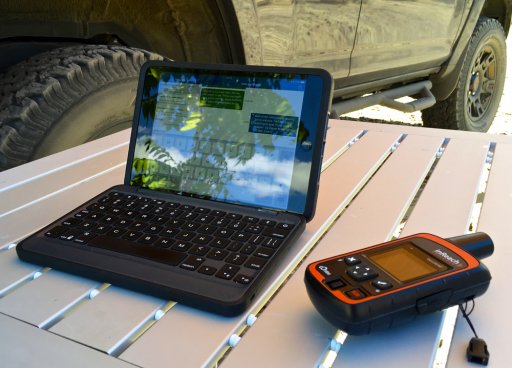
When GPS or other high end navigation gear is not available for whatever reason, and no paper maps can be found for the area you are looking at.....
A cheap 7 inch Android tablet ($40) and FREE ...pdf and image maps from Google can do the trick !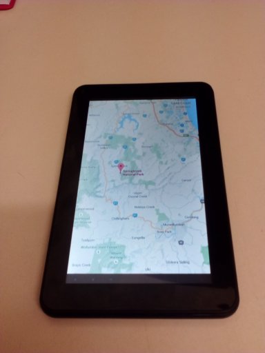
A cheap 7 inch Android tablet ($40) and FREE ...pdf and image maps from Google can do the trick !