Educator I
- 10,890
- First Name
- Jim
- Last Name
- Bro
- Member #
12989
- Service Branch
- USAF DAV
Here is a couple very good videos about the features in the tiers, tutorials as well, worth a watch.....
 www.overlandbound.com
Jim
Overland Bound One App Adventure and Expedition Tutorials
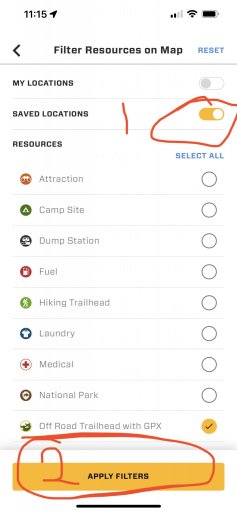
Hey all - this is a very good way to get a good feature overview of both Adventure and Expedition tier features. https://help.overlandbound.com/help/tutorials If you prefer videos!
Jim