Ardbeg Trail

  • HTML tutorial

archee29

Rank III
Launch Member

Advocate II

684
St. Catharines, Ontario
First Name
Dillon
Last Name
Lamarche
Member #

7047

Hi everyone,

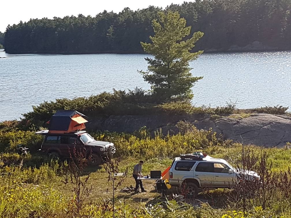
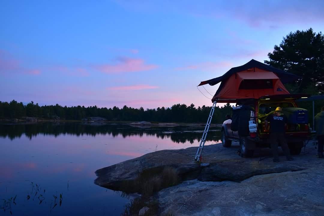
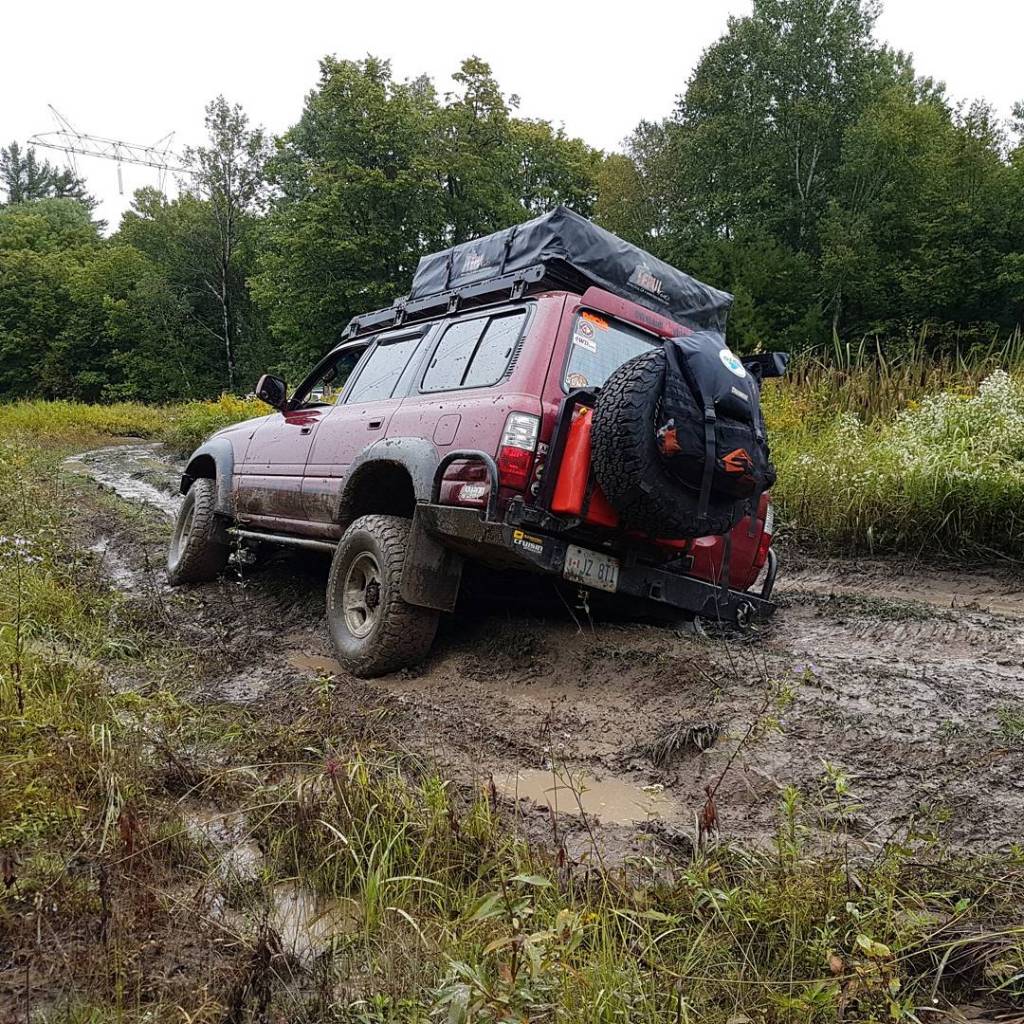
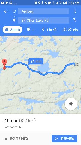
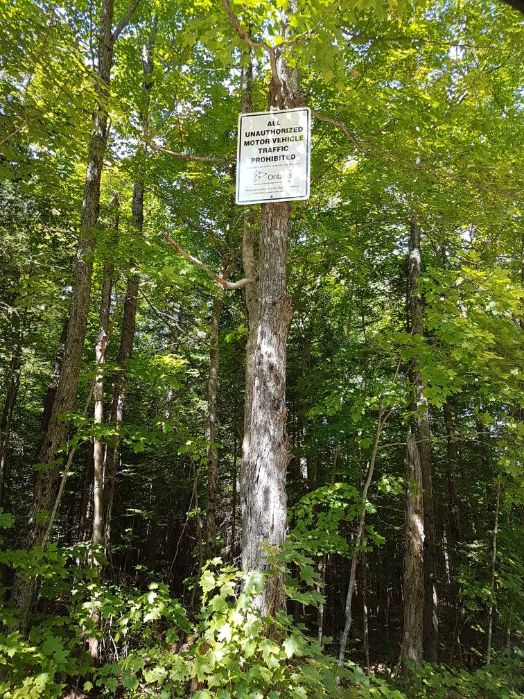
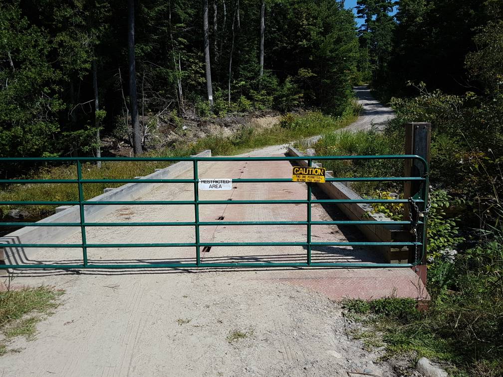
Anyone done the Ardbeg Trail? If so, could you possibly post the location of the trail please (Google Maps, or something else)? I can't seem to find how to access the entrance. Also, if anyone has done the trail, would you mind providing your thoughts on it please (tips, tricks, any other info)? I plan to drive my '10 TE T4R to it next year (I don't have any AT tires right now:expressionless:).
 

jz8ty

Rank II
Launch Member

Advocate II

455
Ontario Canada
Member #

0890

I ran the Ardbeg south trail this past long weekend. I've been there tons of times over the past 5 yrs.

There's a lot of great private camping spots along the 3 trail system. The photo above is on the South trail near the Bunny Trail Exit.
The photo below is Blk Lake on the opposite side of the of the lake. No where near the beach


Rule 1 don't run the trail alone.
Even with my experience of the trail and my trucks capabilitys I got stuck twice. Once I got high centered trying to avoid a water hole. I was able to get out with a gentle tuck the other time I got hung up on some big rocks in a water hole, but I was able to get out by using my lockers.


It is a stock friendly trail. But you need to pick you path.
The south trail is about 32km long from Black Lake to the Hydro Station.
The North Trail is about 10-15 km from Black Lake to the train tracks.
Black Lake Loop is not stock friendly any more.


Sent from my SM-G930W8 using OB Talk mobile app
 

jz8ty

Rank II
Launch Member

Advocate II

455
Ontario Canada
Member #

0890

To get to the trail head you need to gas up in Perry Sound. Or you can try loggers station in Ardbeg. Loggers Station has gas, a general store and a small dinner.

Once in Ardbeg just drive down clear lake rd til you come to a large sandy parking lot. That's black lake. If you turn left that's the South trail. If you drive to the lake and follow rd to right that's the North trail !


Shared route
From Ardbeg to 84 Clear Lake Rd via Clear Lake Rd.

24 min (8.2 km)
24 min in current traffic


1. Head west on ON-520 N toward McDonald Dr
2. Arrive at location: 84 Clear Lake Rd

For the best route in current traffic visit https://goo.gl/maps/SHV2ZCXt9GP2

Sent from my SM-G930W8 using OB Talk mobile app
 

archee29

Rank III
Launch Member

Advocate II

684
St. Catharines, Ontario
First Name
Dillon
Last Name
Lamarche
Member #

7047

@nezzie09 True, I was planning on joining, but their membership period runs from Jan-Dec. Not on the date you sign up. So, I'm waiting until the Jan of '18 to sign up
 
  • Like
Reactions: jz8ty

ORO

Rank II
Launch Member

Enthusiast I

404
Toronto, ON, Canada
Member #

13673

@nezzie09 True, I was planning on joining, but their membership period runs from Jan-Dec. Not on the date you sign up. So, I'm waiting until the Jan of '18 to sign up
That makes sense.
I know they drop the price in October to a prorated price for the end of the season as well.
No idea what they drop it to though.
 

jz8ty

Rank II
Launch Member

Advocate II

455
Ontario Canada
Member #

0890

Now if you wanted you could enter the other way which is Ardbeg North trail. But you would have to cross 2 sets of train tracks on a blind turn. And from my understanding the train took out a jeep a couple years ago.

I don't recommend it!


Sent from my SM-G930W8 using OB Talk mobile app
 
Last edited:

k_dipietro

Rank I
Launch Member

Traveler I

271
Toronto, Ontario, Canada
First Name
Kris
Last Name
D
Member #

9086

Thanks for the info! I can say that the GPS file that OF4WD seems to be pretty comprehensive, breaking down the trail heads, the north and south trails, and the black lake loop trail. Their GPS file does end the North trail just before the tracks. They rate it as a 3 out of 5 difficulty trail, so I wasn't sure if my stock Wrangler would make it through. I'm planning to go up with some friends this summer. Thanks!
 
  • Like
Reactions: jz8ty

Zeonprime

Rank I
Launch Member

Contributor I

233
Waterloo Ontario Canada
Member #

9303

A local pointed me to the Parry Sound GIS website. Pretty handy showing the property lines and far more details than an ol' google map satellite photo.

So to be clear, only the NORTH access from Harris Lake Rd is closed. Access from Ardbeg is still good??
 
  • Like
Reactions: Migu

jz8ty

Rank II
Launch Member

Advocate II

455
Ontario Canada
Member #

0890

A local pointed me to the Parry Sound GIS website. Pretty handy showing the property lines and far more details than an ol' google map satellite photo.

So to be clear, only the NORTH access from Harris Lake Rd is closed. Access from Ardbeg is still good??
Harris Lake is closed.
Access to Black Lake from Ardbeg on Clear lake rd.

Sent from my SM-G930W8 using OB Talk mobile app
 
  • Like
Reactions: Zeonprime and Migu

gtilford

Rank II
Launch Member

Enthusiast I

404
Woodstock Ontario
Member #

5967

Thanks for the info! I can say that the GPS file that OF4WD seems to be pretty comprehensive, breaking down the trail heads, the north and south trails, and the black lake loop trail. Their GPS file does end the North trail just before the tracks. They rate it as a 3 out of 5 difficulty trail, so I wasn't sure if my stock Wrangler would make it through. I'm planning to go up with some friends this summer. Thanks!
I took a bone stock 2015 Cherokee Trail Hawk on the North trail last year right to the train tracks, some real deep mud holes just use the by passes, a really deep (water coming over the hood deep) water crossing thanks to a beaver, spent a bit of time there dismantling a bit of the dam and dropping the water level by a foot to cross. Make sure you don't go alone, make sure someone has at least one winch and take your time and enjoy the challenge. I have gone up there since the early 80s trails are some what easier then then but also harder in spots because they are dig out. Remember tread lightly and pack out everything you take on and a bit more.

Sent from my LG-H873 using OB Talk mobile app
 
  • Like
Reactions: HEYElliott

Trail_pilot

Rank III

Enthusiast III

830
First Name
James
Last Name
Girard
I know this is a dead thread but I want to bring it back. Who is heading to Argdbeg and when this year? I may be looking for someone to go explore the area with ( south trail).

PS. I have been out there a few times but looking to do some better mapping of the area.
 
Last edited: