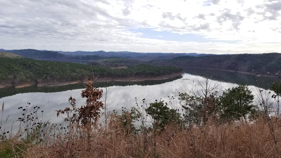
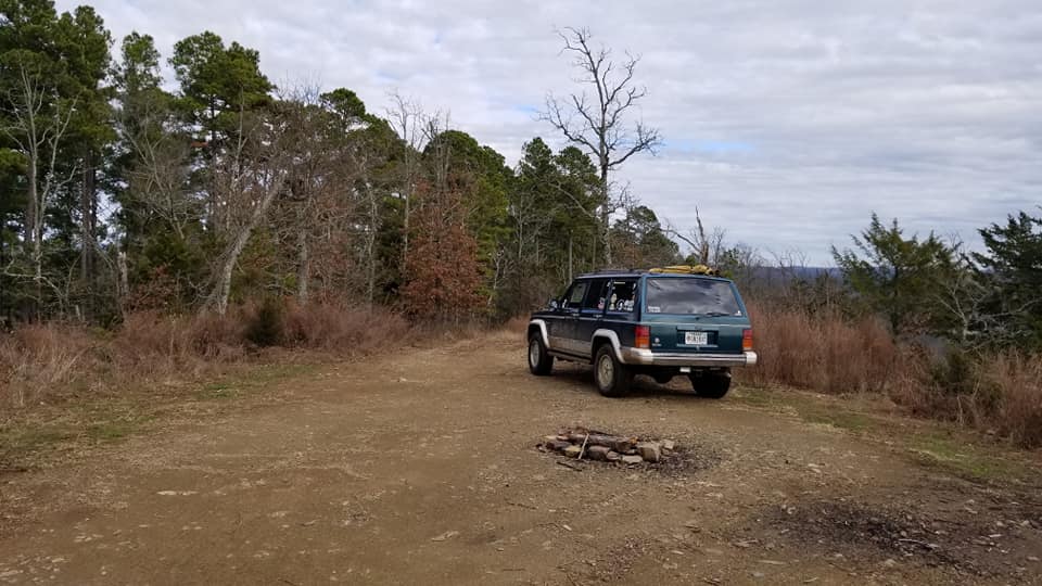
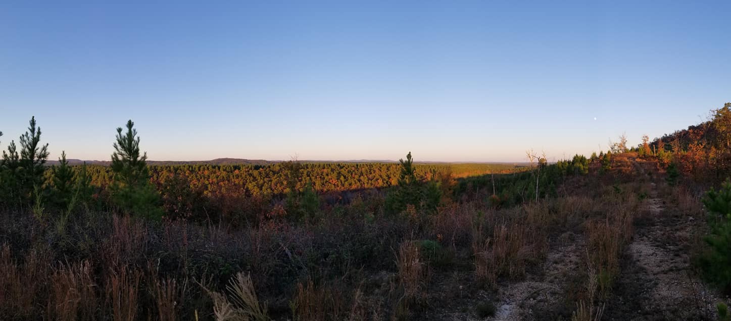
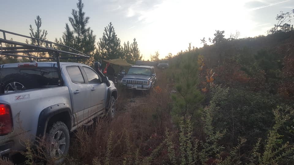
• HTML tutorial

Oklahoma Adventure Trail

Foretexas

Rank IV
Launch Member

Enthusiast II

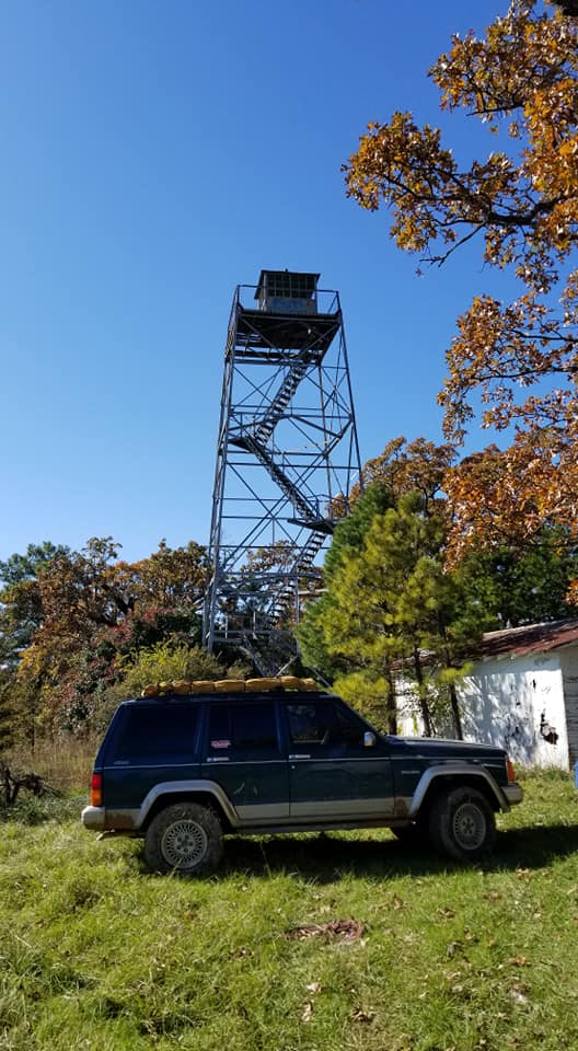
We made our first small trek from Davis to Wichita Moutains WR. We ran in to one road that was closed off, but easily got around it. It was marked on the map as “closed for hunting,” so we weren’t totally thrown off by it. We compiled a video of our first overland trip. It was an awesome start!

Well done, looks like a nice trip. Did you save and would you share the GPS coordinates for where you camped?
 

RusD

Rank III
Launch Member

Enthusiast III

Is that inside the refuge? If so, I'm not sure it is allowed to drive that road or camp in that area. I could be wrong, but I don't want anyone getting in trouble or damaging protected areas. On the other hand, if it is perfectly ok to camp there, thanks for sharing the coordinates; I will definitely be taking a closer look in that area.
 
Last edited:

parksMap0419

Rank I

Enthusiast I

Hi There,

We realized after the fact that it isn’t the permitted area to camp in unfortunately. There is a spot inside the refuge to camp, but the coordinates didn’t fall within the area. Sorry for the misinformation!
 

RusD

Rank III
Launch Member

Enthusiast III

That's too bad, looked like a nice spot. The refuge is one of our go to locations for a quick day trip. Still, looked like a fun trip; I need to get out and try some of this route.
 

ryanorr280

Rank V
Launch Member

Member III

That did look like a nice spot if only they would allow it.

We really liked all the old history of the towns along the route. Kept the western side interesting for us(mostly lol). Looking forward the the eastern side now!
 

ryanorr280

Rank V
Launch Member

Member III

Dispersed camping will be easier to find on the east side with the Ozark and Ouchita Ntl Forrests there.
That’s what I’m hoping for. Finding places to stay on the west proved to be a bit of a hassle. Since state parks went reservation, it made it impossible for us to find a site a great salt plains. We ended up in a candlewood suites in Enid. Lol
 

Downs

Rank V
Launch Member

Member III

Yeah the western part of the state is mostly private. You get into the Ntl forrests on the east side. You can probably get away with some good ol fashioned stealth camping if you kept a low profile.
 

Abenson

Rank I
Launch Member

Contributor I

Hey Joshua, Have you found any good dispersed camping spots around Broken Bow that you recommend? I have explored some of the forest roads around the lake but ended up camping at Beaver's Bend the last time I went up there.

Austin
 

Downs

Rank V
Launch Member

Member III

Hey Joshua, Have you found any good dispersed camping spots around Broken Bow that you recommend? I have explored some of the forest roads around the lake but ended up camping at Beaver's Bend the last time I went up there.

Austin

Ewwww. Yeah I stayed at Beaver's Bend once at the behest of some folks that were with us. It was the most disgusting place I'd ever stayed. Pretty sure the bathrooms haven't been maintained or cleaned since they were built.

If you are looking for exact spots I don't have a lot. Really anywhere you can find on the east and north side should be good on the west side you're dealing with McCurtain County Game Preserve and not sure what the rules are in that, I've camped there before and never been ran off but YMMV and all that.

This is a pretty nice spot. Good overlook. Room for maybe 3 vehicles. Wife and I are leaving Friday to head up to the area and I'm going to try to hit it up and hope no one is there yet.


This is a pretty nice spot on the west side of the lake. The MVUM map shows this as an active road but it's actually a dead end ridge line road that's quite overgrown. DOn't let the satellite image fool you it was quite green at the start of the year....unless that image is very recent. There's no where to park but in the road and you have to setup tents to the front and back of the vehicle, but it was super quiet and the view was nice. When we were there it looked like no one had sat foot on that road in years.


This will give you an idea of the parking situation but I don't think you can get more secluded than that spot.


This fire tower is on the west side. If you look really close on some USFS maps you can see it's marker on there. It looks like people still camp there but I'm unsure as to who actually owns it, not sure if the property is USFS or Game Preserve.


I like camping in secluded spots it doesn't necessarily have to have a good view. So as I'm driving around on FS roads if I see a spot I wouldn't mind staying at I drop a pin and mark it on my map.
 

ggibson793

Rank I

Contributor III

Thinking about doing part of this in spring of 2021. I will be coming up from Fort Worth, and starting the trail at Turner Falls. Not sure yet if I want to go east or west from there, but am thinking 4 hours driving for each of 3 days then get on interstate to come home on day 4. The kid will be going on a school trip and wife is going as chaperone, so it will just be me and the dog.

My main concern is, I will likely be pulling a small travel trailer to boondock camp in, and don't want to get down an impassable road that I wont be able to turn around on. If anyone has done either of these parts recently and has solid information about closed roads (maybe with an updated .gpx file) I would appreciate it. I know that is 6 months away and closures can change a lot between now and then but anything is better than nothing
 

Offroadnutz

Rank VI
Launch Member

Member III

Thinking about doing part of this in spring of 2021. I will be coming up from Fort Worth, and starting the trail at Turner Falls. Not sure yet if I want to go east or west from there, but am thinking 4 hours driving for each of 3 days then get on interstate to come home on day 4. The kid will be going on a school trip and wife is going as chaperone, so it will just be me and the dog.

My main concern is, I will likely be pulling a small travel trailer to boondock camp in, and don't want to get down an impassable road that I wont be able to turn around on. If anyone has done either of these parts recently and has solid information about closed roads (maybe with an updated .gpx file) I would appreciate it. I know that is 6 months away and closures can change a lot between now and then but anything is better than nothing
Not sure how big your trailer is but the only potential problem I see, if it’s a big trailer, is in the beech creek area in eastern OK.
The western section of the K trail is on private land so you can only do the section between 3sticks monument and the kiamichi fire tower.
Check this thread too
 

OkieDavid

Rank IV
Launch Member

Enthusiast III

Hi There,

We realized after the fact that it isn’t the permitted area to camp in unfortunately. There is a spot inside the refuge to camp, but the coordinates didn’t fall within the area. Sorry for the misinformation!
Yeah, the only approved camping is the campground (Doris) and backpacking by permit in the Charon Gardens (west edge). Also, you're not allowed to drive off a road across the grass, not allowed to have a dog off-leash and not allowed to have a fire. Not trying to be a nag, as you've already realized the issue, but wanted to clarify for anyone else reading this post, a Federal Wildlife refuge is not treated the same as Oklahoma Department of Wildlife land where all this is (usually, check regs for specific WMA) legal, also not like BLM (none in OK), National Forest, etc. Fed Wildlife Refuges are highly regulated.
 
Last edited:

ggibson793

Rank I

Contributor III

Not sure how big your trailer is but the only potential problem I see, if it’s a big trailer, is in the beech creek area in eastern OK.
The western section of the K trail is on private land so you can only do the section between 3sticks monument and the kiamichi fire tower.
Check this thread too
Thanks, right now I am leaning toward the western part. How does it compare with the southeastern part both from a scenery standpoint and a terrain standpoint?
 

Offroadnutz

Rank VI
Launch Member

Member III

Thanks, right now I am leaning toward the western part. How does it compare with the southeastern part both from a scenery standpoint and a terrain standpoint?
[/QUOTE
The western part is not really very scenic and is pretty much just flat plain county roads. Actually can get boring fast. My recommendation is to start with the area around Broken Bow. It is very scenic with plenty of places for camping. Roads are mostly well maintained logging roads and very hilly. After that the Ouachitas.
 
Top