ptgarcia
Rank III

Enthusiast III
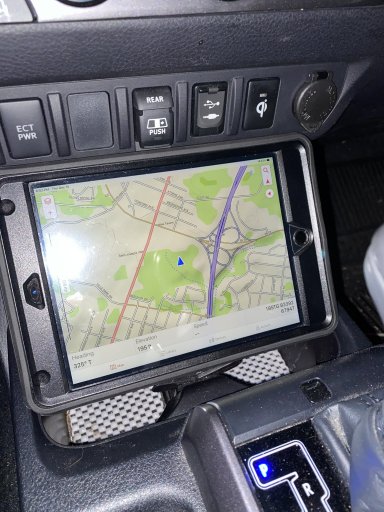
Interesting. I know the brand from the water sports and shipping sector. Didn´t know that Lowrance has also GPS devices for land vehicles. The Baja 540c ssems to have quite a big screen which is good to get a proper overview of the map. What digital maps are usbale with the Lowrance? What maps are you using? Thanks.
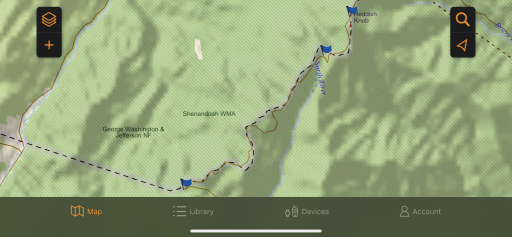
I use free maps available online from places like gpsxchange.com (there are many available), but you can also buy more detailed maps from PCI Race Radios and Rugged Routes.
Lowrance is what the vast majority of off road racers use. Not only are their components robust, they accept user maps and tracks (they call them trails). They use remote mount antennas, also, which allows you to mount the display anywhere. There's no requirement to be visible to the sky above for precise GPS location. Check out the Elite-7 Ti for an affordable unit with lots of bells and whistle. Just keep in mind these are primarily mapping GPS, not street navigators.