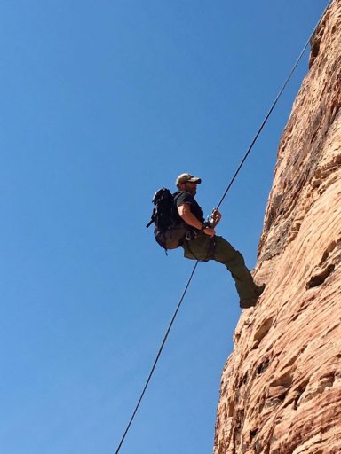
Views from the summit
- Thread starter Rattlesnake44
- Start date

Advocate I

Pathfinder I
- 2,271
- First Name
- Black
- Last Name
- Tan
- Member #
-
2385
- Service Branch
- Boys brigade

Enthusiast III

Advocate III

Taken with a GoPro via remote attached to a tree branch. Wind was gusting over 40mph and I crawled to the edge, snapped the pic and rolled backward off the edge. [emoji1]
Sent from my iPhone using OB Talk

Influencer II
My neck of the woods, but never been there. This photo makes me want to go find that spot!Here are a few of mine!
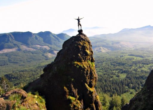
Worth IT! - Saddle Mtn Summit - Oregon - June 2016
That's a great shot. What kind of range does the remote have?Taken with a GoPro via remote attached to a tree branch. Wind was gusting over 40mph and I crawled to the edge, snapped the pic and rolled backward off the edge. [emoji1]
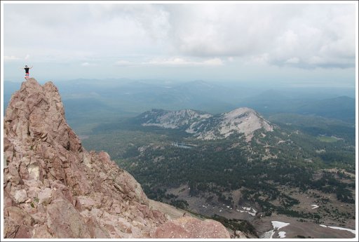
WOW, awesome views man!Mt. Lassen (10,463′)
View attachment 27883
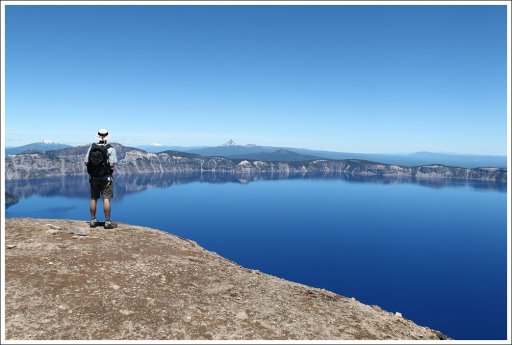
Garfield Peak looking over Crater Lake (7,976′) View attachment 27884
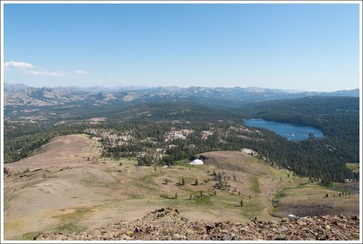
The Nipple looking south over the Blue Lakes (9,342')
View attachment 27885
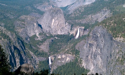
Home of the original Firefall, nice picI know this is tourist mecca, but it maybe one the best views on earth looking east from Glacier Point.View attachment 14144
Sent from my iPad using OB Talk
Thanks, it is amazing place but very crowded.
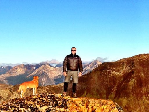
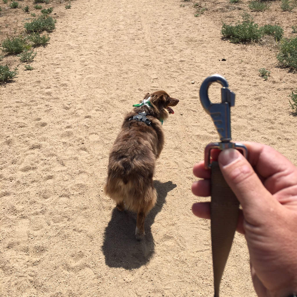
Got in a day trip adventure with the pup last weekend. Mt. Pinos in Los Padres National Forest. Easy two hour drive from Los Angeles. We parked at the Nordic Center lot and from there it's a moderate to easy 2 mile hike to the summit. We did it as a trail run for the exercise.

We were the only ones up there, so did some off leash running [emoji190][emoji1360]
Summit pic


And explored some of the forest service roads while we were up there. Found a pretty scary SoCal style water crossing.

Sent from my iPhone using Tapatalk

We were the only ones up there, so did some off leash running [emoji190][emoji1360]

Summit pic


And explored some of the forest service roads while we were up there. Found a pretty scary SoCal style water crossing.

Sent from my iPhone using Tapatalk

Member III
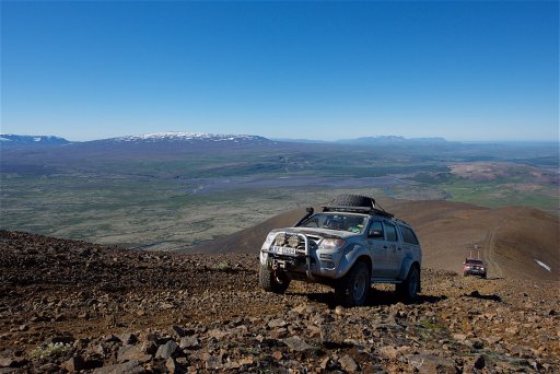
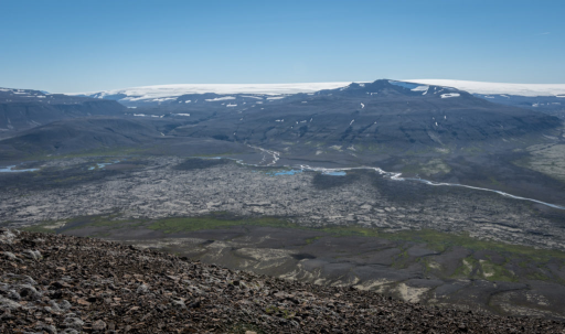
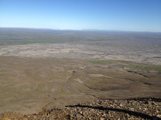
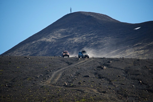
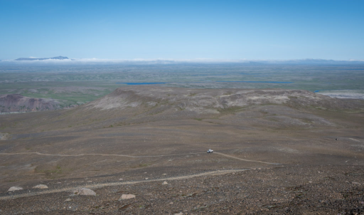
Here is one from Iceland during our recent ICE2017 Arctic Trucks Expedition.
The Mountain is called Strútur (close to Húsafell).
It's just another mountain in Iceland - nothing special.
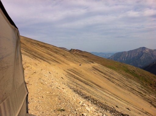
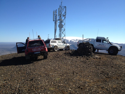
The road is essentially only for maintenance access to the radio / telephone relay station at its summit.
Very few folks take the risk to drive to the top - the road is steep, unconsolidated, exposed, and not for the faint-hearted.
But once you reach to top, the view is magnificent...


