I attempted to try and do some of the
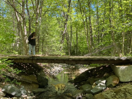
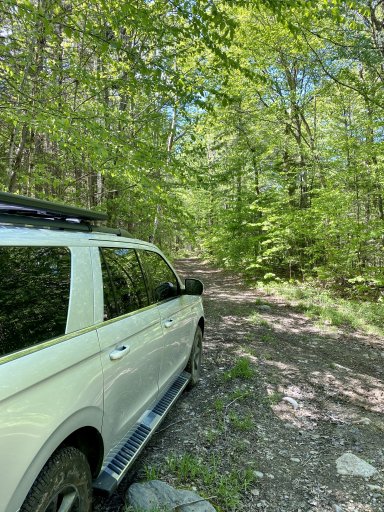
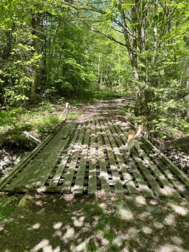
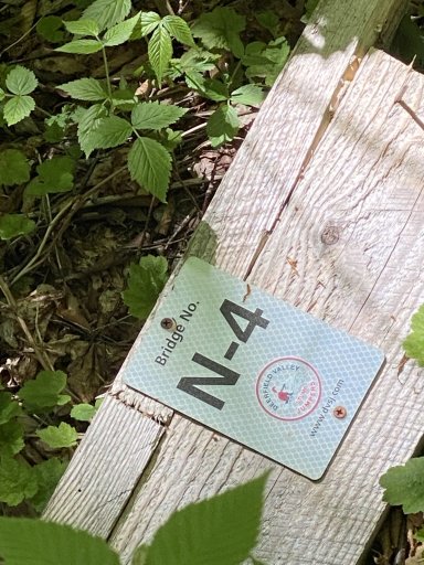
Puppy Dog Trail this past weekend. I found an old GPX file on AllTrails, but it was just straight line connections of various Lat/Lon waypoints, so I used Gaia to overlay and try and make some sense of it. I want to say that 75-80% of what we ended up with were paved roads, a couple actual off road trails, about 20% class 3/fire roads, and 1 wooden bridge that I wouldn't trust a full size vehicle to cross. I was hoping to take the Cheney Brook Trail to the Frost Hollow Trail, and use that to go over Cooper HIll (looks like these are basically UTV/ADV/Sled trails on the VAST system), however the right turn onto the Frost Hollow Trail was the wooden bridge that I certainly wasn't gonna take my Expedition MAX over. There were some fresh ATV/UTV tracks in the mud on both sides of the bridge...maybe a 2 door Wrangler could make it across....
Looks like there was a decent trail at the end of Cushing Flats Road (a little west of Newfane), but we were short on time by then. We made it up to Hwy 121 just north of Windham before we ran out of time and had to head back to our place in Arlington (felt bad leaving the 8 month old with Grandma & Grandpa for so long with no notice). Cheney Brook and Frost Hill are passable for any OEM 4x4 vehicle from what we saw. FYI - the turn onto Frost Hollow is actually about half a mile further north than it appears on Gaia.
If anyone knows of anything more, feel free to share!