SW Idaho Overlanding

One of these years, I'll make it out for the mordor trip. Alas, it is not this year.

Safe travels, friends!
 
  • Like
Reactions: GHCOE
Dayville. The Hard Way
Jun 26-28 (Friday 26-Sunday28)
Time: 8:00am
Meet Place: Sinclair Gas Station, 151 Smith St N, Vale, OR 97918
Destination: Central Oregon
Estimated Duration: 3 days
Estimated Distance: 336 Vale, Or to Vale, Or (Half the miles are return highway miles)
Comms Channels: GRMS=17, CB=13

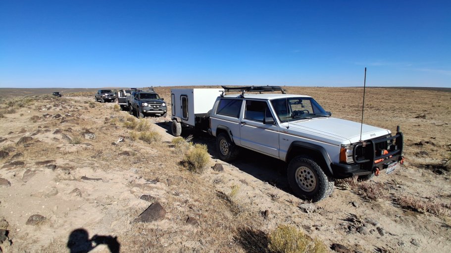
Have you ever been to Dayville, Oregon the hard way? Me niether! Well we will attempt to get to Dayville a different way.

What to expect? I don't really know. Should be pretty straight forward well maintained dirt and paved roads though. Maybe a short section of rougher stuff but we won't know how rough, if at all, till we get there. I would assume stock vehicles will be fine. We can always reroute if needed.

This area is a area I have been wanting to get into deeper than just highway views. Lots of private property so that is why it is mostly good, maintained roads. Sometimes we need just need a easy trip. I allowed 3 days but in might only be two long days or jump off where you want. This is also the last trip before shutting down for the hot part of the year.

This is not a guided tour and all who attend are ultimately responsible for their own safety. I am not responsible for damage, injury and or death. You partake under your own free will knowing the dangers of such activities.
 
Wow! Way behind on posting up videos on the threads. Just means you get to benge what I guess. Or be sure to subscribe to the channel to keep up with the latest.

This is the last two videos from the Winter Wonderland VIII. These are what I call "Uncut" videos that run real time and lightly edited. Hope you enjoy them!

See you on the trails! George.


  • Like
Reactions: ScottEtkin
How goes the FSJ rebuild?
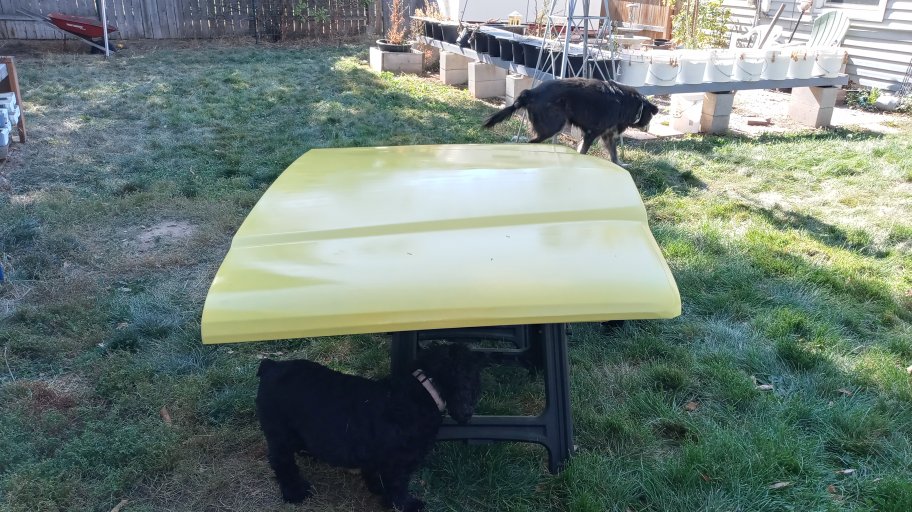
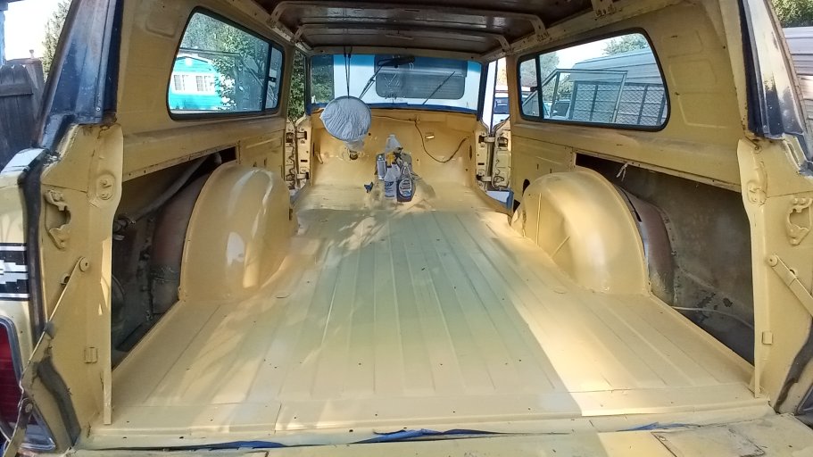
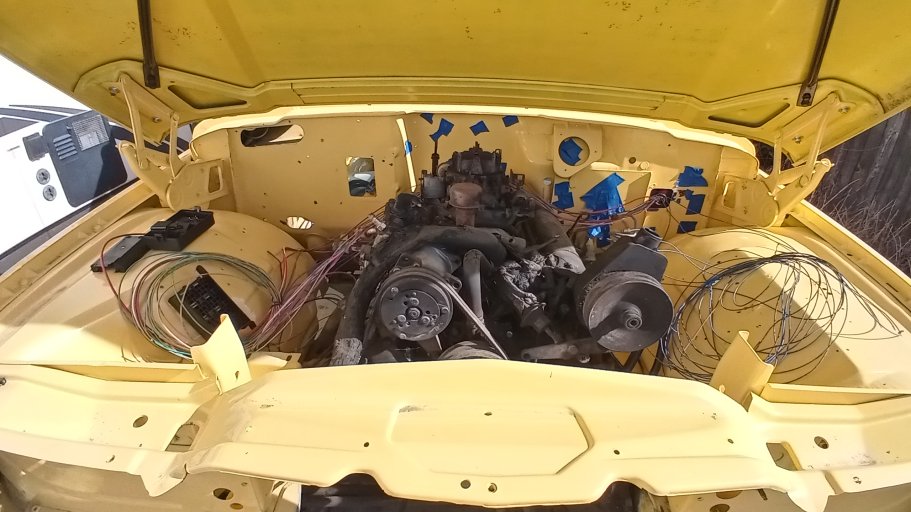
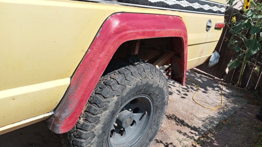
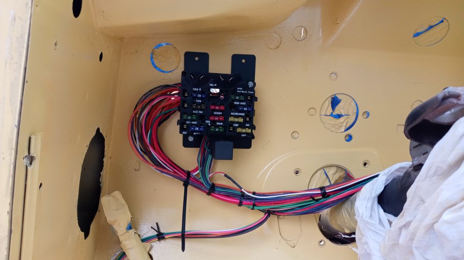
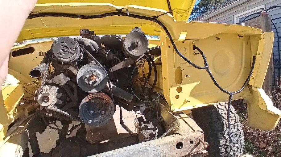
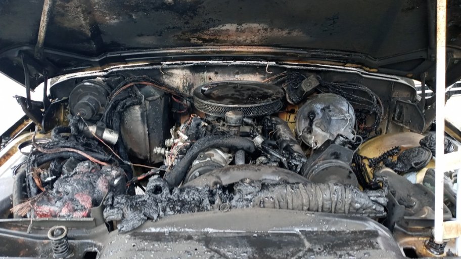
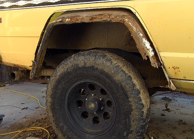
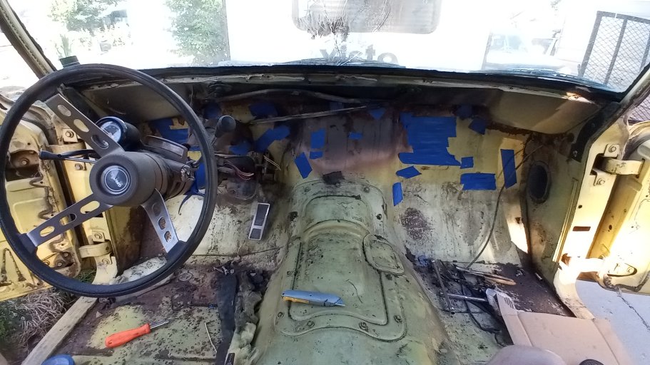
Now sure where you left off. I have cleaned up the new hood, floor, engine bay and painted those parts/areas. I have cut out the old rusted rear wheel flairs and installed the flairs from a 1966 pickup. I have started installing the wiring this spring, but have not had much time for anything else this year. I hope to start working on it again here in the next few weeks if all goes well.

20241006_130052_HDR.jpg

20250831_090937.jpg

20260215_133115_HDR.jpg


20240825_133725_HDR.jpg

20260208_130923.jpg

20260222_140838_HDR.jpg

I just had to change out the NP231 and my front drive shaft in my XJ. I upgraded to a NP242 and installed a new driveshaft. Made a big difference in driving. Always had a vibration since the 2WD conversion. I think I need to add the 2 degree shims in back too. Still have a slight vibration on hard acceleration.

Hope all is going well with you and yours.
 
  • Love
Reactions: shortbus4x4
That looks like good progress. Last I checked in you were trying to figure out what to do about fender flares. You have made it a long way since then. Are you doing the painting yourself? I remember hoping you had found a good painter. I need one.

I and mine are doing well. Varmint #2 bought himself an XJ about a year ago. It was a bit more of a project than he realized. Do a thread title search for "Situation Normal" on NAXJA if you want a sense of what he got himself (and me) into. It is now a somewhat reasonable daily driver. Still needs some creature comfort details taken care of, but it will get him where he needs to go.

I wore out my tow rig ('95 Cummins) and am without a truck while I try and get a placeholder ('01 Cummins) into operation so I can rebuild my tow rig. It will be a project much like your FSJ. Probably take a while. And will probably take longer because Varmint #1 has a line on an MJ. As soon as I have the placeholder in operation we are going on a trip to go get that, and that may become an active project. No shortage of things to do.
 
That looks like good progress. Last I checked in you were trying to figure out what to do about fender flares. You have made it a long way since then. Are you doing the painting yourself? I remember hoping you had found a good painter. I need one.

I and mine are doing well. Varmint #2 bought himself an XJ about a year ago. It was a bit more of a project than he realized. Do a thread title search for "Situation Normal" on NAXJA if you want a sense of what he got himself (and me) into. It is now a somewhat reasonable daily driver. Still needs some creature comfort details taken care of, but it will get him where he needs to go.

I wore out my tow rig ('95 Cummins) and am without a truck while I try and get a placeholder ('01 Cummins) into operation so I can rebuild my tow rig. It will be a project much like your FSJ. Probably take a while. And will probably take longer because Varmint #1 has a line on an MJ. As soon as I have the placeholder in operation we are going on a trip to go get that, and that may become an active project. No shortage of things to do.
Yes, I am painting myself. I found a color in Rustoleum that is pretty close. I think it came out pretty good.

The fenders were quite a chore. I just started cutting and crossed the fingers. This is what I found after cutting the outer skin off. What a mess.

2 s.png

Firewall before cleaning and painting.

20250713_085918.jpg

Engine bay before cleaning and painting.

20230402_182007 s.jpg

Yes, always a project getting in the way of another project. That is why this one is taking so long. Winter is the best time for working on it.

When you get all the XJ/MJ running we will have to make a run with them all. Would be good fun.
 
East West Idaho Overland Route (EWIOR)
September 24 (Thursday) - 27 (Sunday)
Time: 8:00
Meet Place: Grand View Gas 110 ID-78, Grand View, ID 83624
Destination: Southern Idaho-Eastern Idaho
Estimated Duration: 4 days
Estimated Distance: 441 miles from Grand View to Alpine, Wy
Comms Channels: GRMS=17, CB=13

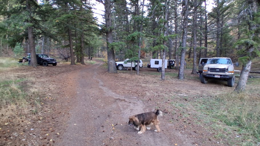
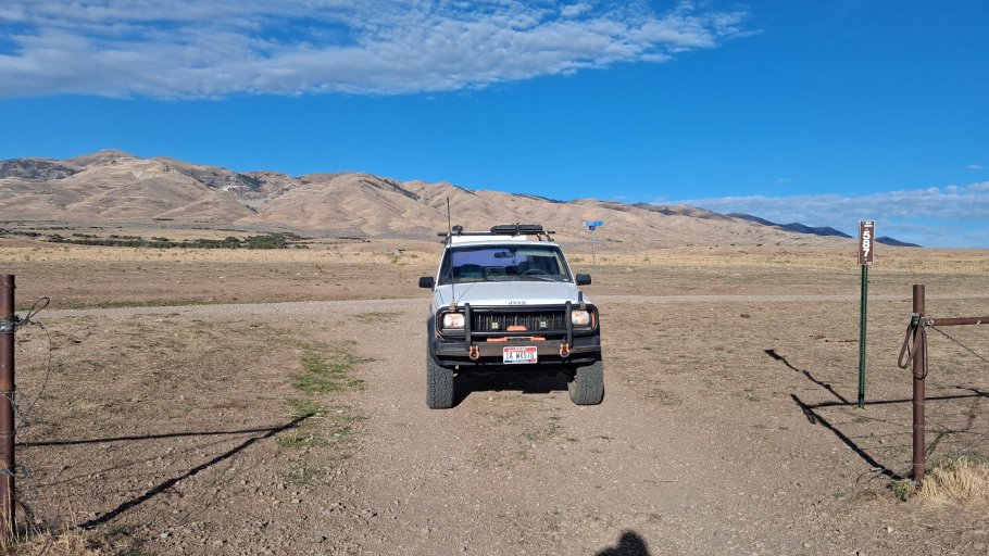
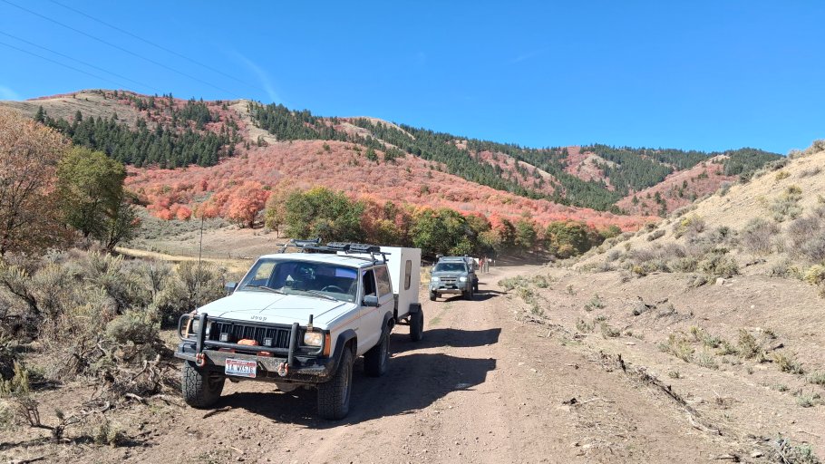
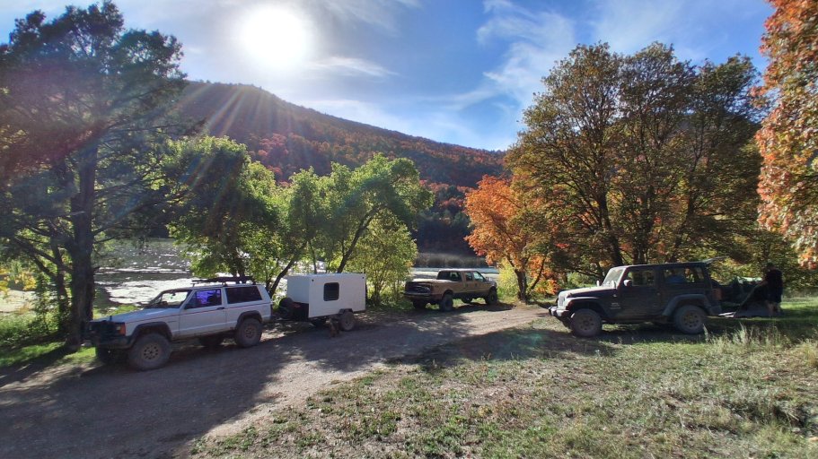
Yup! You read that right. The East West Idaho Overland Route (EWIOR) is in the works, and we need to start validating some of the roads. Due to road limitations on the west side of the state, I have pretty much driven all of that, so I know what to expect. There is however many miles of road I have not traveled so here we are, going on a verification run.

20240914_142226.jpg

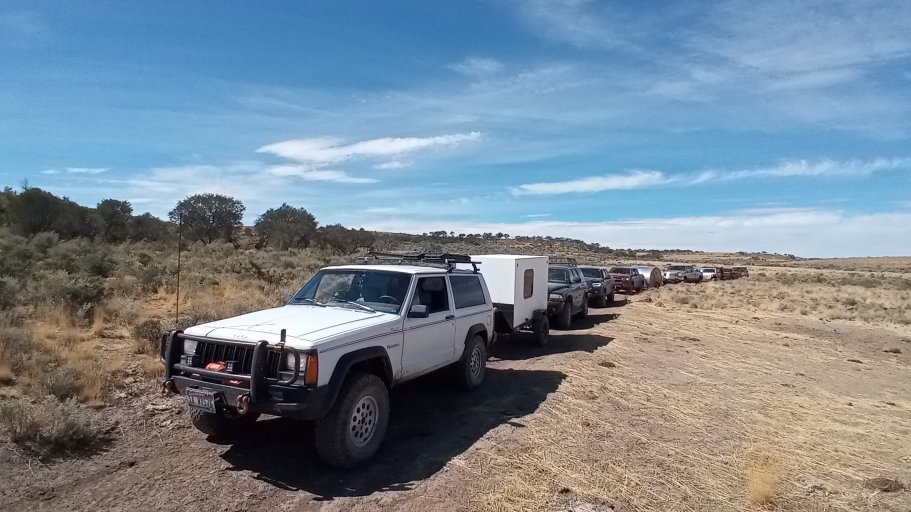
Starting in Grand View, Idaho we will hit the East West Idaho Overland Route (EWIOR) within a few miles. Then it will be 3 days of driving, and we get as far as we can. The notes mention that it will be 441 miles, I am not sure how far we can make it in 3 days though. I allowed one day for the return trip so take that into consideration if interested in driving this route with us.

The East West Idaho Overland Route (EWIOR), for the most part, is not as isolated as the West East Idaho Overland Route (WEIOR) but this route will cover the most remote portion of it. Road conditions, like the West East Idaho Overland Route (WEIOR), will vary drastically. How rough can it get? I don't really know, I would guess stock high clearance 4x4 vehicles with 2 speed transfer case and mildly lifted vehicles will good All Terrain tires should be fine. There are lots of miles of good roads but there are some short stretches that could be problematic to vehicles that are not prepared.

This is not a guided tour and all who attend are ultimately responsible for their own safety. I am not responsible for damage, injury and or death. You partake under your own free will knowing the dangers of such activities.
 
  • Like
Reactions: shortbus4x4
Some of you guys may know about the West East Idaho Overland Route (WEIOR) I worked on and ran about 2 years ago. You can find that thread here SW Idaho Overlanding West/East Idaho Overland Route (WEIOR) . There is also a book out that is available on the WEIOR through Amazon Amazon.com.

While developing the WEIOR I thought it would be cool to create another route going the opposite direction with the same start and finish locations just in reverse. This way people could connect into the route at any location and make a full loop (1128 miles) and then leave the routes where they began. It was a cool idea I thought, but I put that on the back burner since the WEIOR took so much time to create.

Once finished with the WEIOR though, I began to poke around with some ideas and occasionally looked at maps to see if it could be done. I gave myself the same route criteria as for the WEIOR.

-10% or less paved roads
-No using already known Back Country Routes
-Try and use roads less often used
-Try and go through some areas that are interesting to see
-Stay 100% in Idaho
-Try and keep the route as low as possible in elevation
-Stay as isolated as possible

Right away I knew it was not going to work out.

-10% or less paved roads: I knew this one was going to be very hard since I barely squeaked in with the WEIOR. I wanted to see just close that I can get. The first leg really ate into criteria, coming in at 58 miles of pavement, 26 miles before you even hit dirt! Then some unavoidable sections of populated areas. Maybe you could drop that number down with some major zig zagging, but I did not really want to do that either. All in all though I don't think it turned out too bad. The paved roads that I did have to include looked to be interesting back roads with some great views, at least what I have seen in pictures. If the route stays true to what I have the total pavement portion came in a 16.4%. No too bad considering.

-No using already known Back Country Routes: Well, I knew this one was going out the door. There are very limited roads that go from east to west in the Owyhees. I had found that one single road to make it work with the WEIOR. I have to already use some roads used on the WEIOR for this route to work just because of that. Not wanting to back track over already used roads forever, I had to give in and use a big section of the Owyhee Backcountry Byway. Also, I found that some portions of the route at a few points follow The Trans-America Trail (TAT). Not on purpose, just turns out great minds think alike, I guess. I stumbled upon this by noticing that the picture car happened to be a red Ford Bronco. I had notice this before when I was doing some trip routing in Central Oregon. I though who is this? I did a quick search and found this . Well now I am giving away some of my route-finding secrets...

-Try and use roads less often used: Well, considering where these roads are at, I can say they are l probably less used, but used. East side of the state for sure, west side probably a lot less.

-Try and go through some areas that are interesting to see: I think this one will be a big win. Maybe even more so than the WEIOR. Building the route, I was able to see photos of the areas it will go through. Even if it is not as remote as the WEIOR, I think it just might be more scenic, at least on the east side.

-Stay 100% in Idaho: Well, I had to fudge a bit on this one too. Not too bad though, only 1.3 miles into Utah. I am not adding Utah into the route name though.

-Try and keep the route as low as possible in elevation: Once again a failure. To stay out of populated areas you have to go where the population is'nt. Back in Eastern Idaho that means mountain ranges. Anything flat has something growing on it. Not all bad though. Some of the beauty of this trip is crossing over those ranges. One pass is 8400 feet. I really did not think we had mountain ranges that high over there but yes. This will limit the optimum time for driving the whole circumference with having to time with snow levels and too much heat.

-Stay as isolated as possible: As mentioned above, to avoid populations you have to drive mountain ranges. The eastern portion of this route is not isolated. Populated areas and farmland and mountain ranges will be a constant cycle for the early part of this route.

Well, there you have it! The good and the bad. How does it compare to the WEIOR? I think they both have their own personality. The WEIOR feels isolated, for the most part, even when you get to the more populated eastern side of the state. That is what I wanted the feel to be. Most of the roads are rough and slow moving WEIOR. I think the EWIOR will feel faster with more higher speed roads, scenic and relaxing. Don't get me wrong, there are some rougher roads like on the WEIOR on the west side of the state but not the constant that the WEIOR has.

These are the current milage numbers that I have now.


Leg 1: Total Miles 165 Paved Miles 58.1 Dirt/Two Track Miles 106.9 Percent Paved 35.2%

Leg 2: Total Miles 119.1 Paved Miles 11.8 Dirt/Two Track Miles 107.3 Percent Paved 9.9%

Leg 3: Total Miles 62.3 Paved Miles 1.7 Dirt/Two Track Miles 60.6 Percent Paved 2.7%

Leg 4: Total Miles 240.8 Paved Miles 24.6 Dirt/Two Track Miles 216.2 Percent Paved 10.2%

Totals: Total Miles 586.4 Paved Miles 96.2 Dirt/Two Track Miles 491 Percent Paved 16.4%

I am going to be doing a route verification run next month to see how this route will shape up. I am limited to 3 full days of travel so it will be interesting to see just how far I can make it. The WEIOR took us 7 long trail days and 1 day to retrieve a trailer off the trail. The roads, for the most part, should be much faster on this route, however. So, stay tuned for more updates as this route comes to life.

See you on the trails!