

Every year the Utah XTerra Owners Club (UXOC) drives the old Pony Express Route from Lehi, UT to Gold Hill before jogging north to Wendover, NV for dinner, fuel, and for some - a night of gaming. This is a trip that can be done in a day, depending how much time you spend exploring along the way. It is friendly for a stock vehicle (I've driven most of the main road in a Civic), but some of the side trails taking off from the main route may require 4WD. Road conditions can vary and are often unpredictable unless you are in the dead of summer.
Hazards:

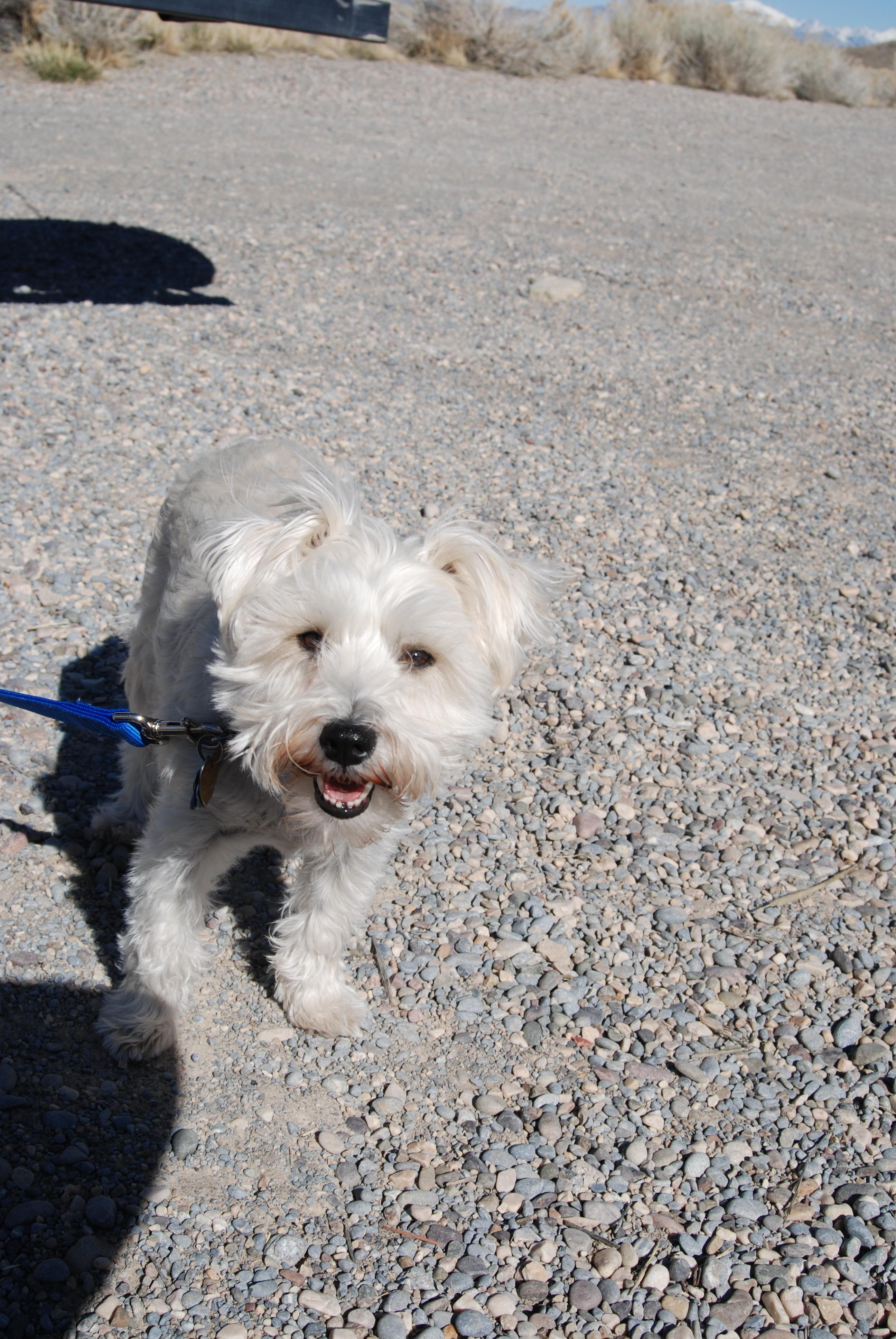
There are no restrictions for pets along the route, but it is best to keep them close. Snakes are not uncommon and there are a wide variety of plants with burrs and stickers that will irritate dog paws.

The main road and turnouts are graded and typically passable by passenger cars when dry.
Venturing across the mud flats to explore the remains of a bus at Wilson Health Springs:

This was as far as we could take the vehicles without sinking up to the frame in thick, sticky, slimy mud. Not exactly a hazard you expect to find in the desert. The rugged mountains of the area are stunning, it took some hard people to try to make a life prospecting here or riding the Pony Express Trail.
Even on a warm day, steam still rises from the unmarked Wilson Health Springs

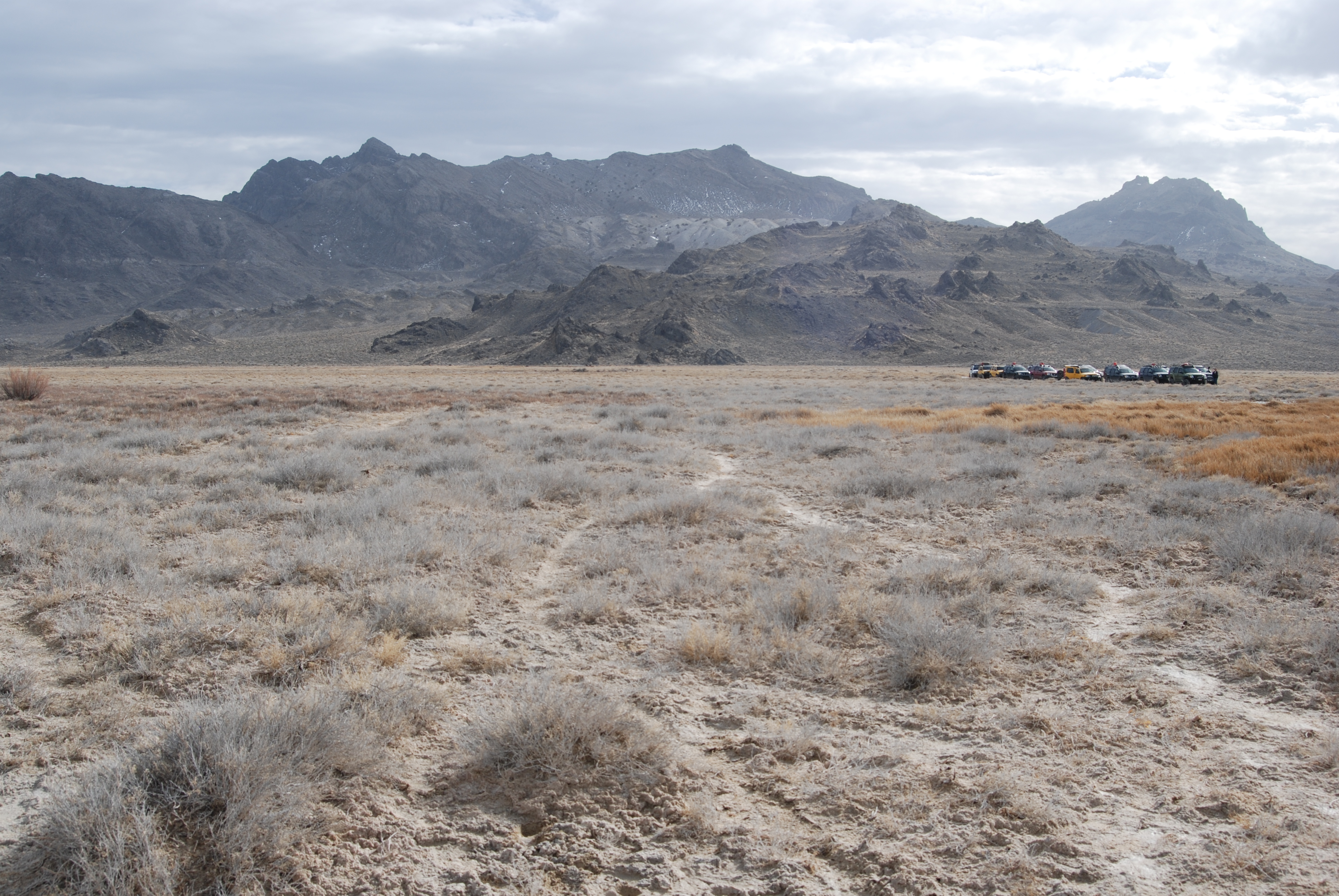
Depending on the year and recent weather, this flat may be thick mud just below a dry crust. Tread carefully when walking or driving.

Well worn, but unmarked side trails often lead to mining areas.

Behold the mustache.

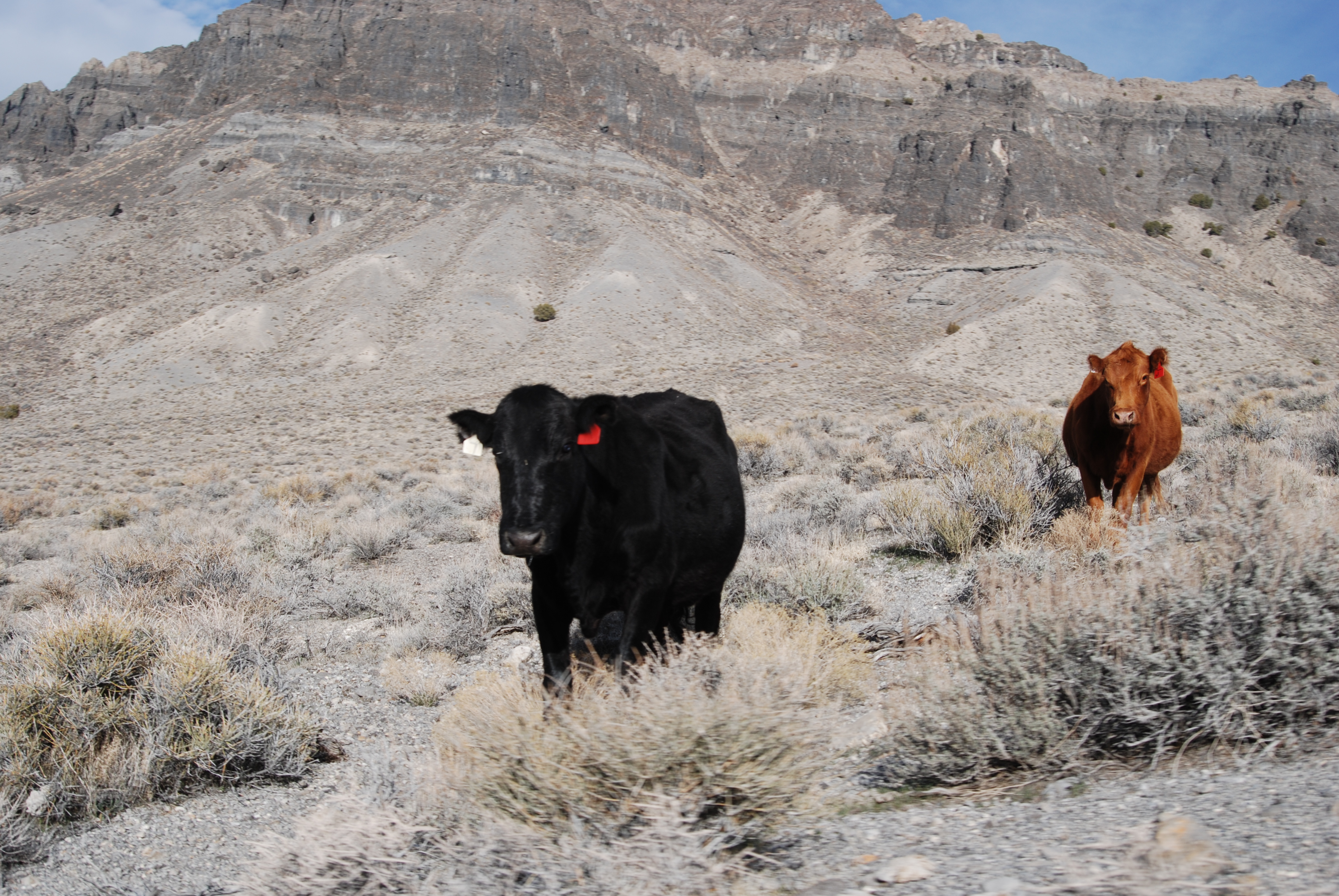
Sometimes you find some company.
Sometimes you bring your own:

For a geology geek, this place is like exploring with cheat codes - you can see everything, hundreds of thousands of years of changes have left their marks.
After hours and hours of choking dust...

Unexpected mud.

Exploring side trails...

Sometimes pays off

The sun was getting low

and the shadows from the mountains are getting long across the flats.

And you can get skies like this:

I didn't take any photos of Gold Hill this year; there are some cool abandoned buildings there to photograph, but they are decaying more and more each year, so it's best to not enter them these days. Also, please be respectful of the residents of Gold Hill - not everyone in this town is a ghost. @Maxterra probably has some shots he can contributed to this thread, he has a great eye for photography on these trips.
Hazards:
- Mud - Some areas, especially Wilson Health Springs will be muddy all year due to the saltwater hot spring keeping the ground thawed and muddy. Along the road you may encounter snow or snow melt, rutted roads, and slippery mud. The fine particulate that makes up some of the road becomes very slippery and slick when wet.
- Dust - There is a reason the club runs this in February each year and the dust is one of them. This road crosses the dried silty remains of an inland sea and some of the dust is as fine as talc and can suddenly billow up from leading vehicles.
- Snow - Depending on the season, there may be blowing or drifting snow
- Lack of Services - There is no fuel, food, or potable water anywhere along the route until you get to Calleo, and that is just a collection of ranch houses. Any water you find along the way is likely contaminated with heavy metals from the extensive mining in the area and naturally occurring deposits in the hills; or it is salty. So bring plenty of water, extra fuel (I've never needed it, but if you plan to explore much off the main route it would be best to have some) and remember to pack out your trash.

- Wild horses - This section of Utah is one of the areas in the West you are likely to see wild horses. In 2016 we only saw 3-4 but in past years we have spotted entire herds.
- Pony Express Station Ruins - there are several ruins of old Pony Express stations along the road, most are well marked and stone monuments stand along the road side. At Simpson Springs you can explore a replica building along side the road. There is also a small parking area and the last "civilized" toilet (vault toilet).
- Coyotes - Typically elusive, they are often spotted in the area. I have had one curious coyote walk to within 12 feet of the vehicle when I was out bird watching in the Fish Springs Wildlife Refuge.
- Pronghorn - It is not uncommon to see pronghorn around the foothills of the many mountain passes. The pronghorn is the fastest land animal in North America and the second fastest in the world (only the Cheetah is faster)
- Birds of prey - Hawks are a common sight, you will often see them looking for Cottontail, Jack Rabbits, or small mice.
- Mine ruins - Along the route you will see signs of mining, many of the mines are still being worked by families or individuals who own the rights and continue to prospect. Some are abandoned, but it is best to stay out of the mines; cave-ins, hidden shafts, and the buildup of gasses are hazards that are best avoided. As you pass Calleo, the mountains to the west are full of old mining camps that can be explored (with caution) and there is some fantastic photography opportunities to be had.
- Fish Springs Wildlife Refuge - wetlands in the middle of a desert. Time your trip right and you will be treated to a wide variety of migratory birds that rely on this oasis.
- Wilson Health Springs - just west of the Fish Springs Ranger Station and outside the refuge, you will see the remains of an overturned bus near a sharp left turn around the point of a mountain. There isn't much left these days, but a small trail leads out to some ponds on the desert flats. Depending on the year, the ground may be hard and solid for much of the way or a bottomless mire of alkali mud. Avoid driving through any of the deeply rutted holes regardless of season, vehicles become stuck and the owners carry out pallets and whatever they can find to get free. These holes are often full of nails and other hardware left behind from rotted pallets. If the ground is firm, you can drive pretty close to the hot springs, if you want to explore, be ready for unexpectedly soft spots that will happily swallow you up to your ankles (or deeper) and keep any footwear that isn't firmly laced up. In the winter, clouds of steam rise from the hot springs. For the brave (or light footed), there are a number of things to explore, including old bathtubs sunk into the desert mud for bathing in the hot springs and even an ancient bus mired far out past the ponds on the mud flats.
- Geode Beds - Early on in the trip (from east to west) you can stop to explore the geode beds. While there was some commercial quarrying here, rockhounds still visit the area with buckets and picks to search for geodes.
There are no restrictions for pets along the route, but it is best to keep them close. Snakes are not uncommon and there are a wide variety of plants with burrs and stickers that will irritate dog paws.
The main road and turnouts are graded and typically passable by passenger cars when dry.
Venturing across the mud flats to explore the remains of a bus at Wilson Health Springs:
This was as far as we could take the vehicles without sinking up to the frame in thick, sticky, slimy mud. Not exactly a hazard you expect to find in the desert. The rugged mountains of the area are stunning, it took some hard people to try to make a life prospecting here or riding the Pony Express Trail.
Even on a warm day, steam still rises from the unmarked Wilson Health Springs
Depending on the year and recent weather, this flat may be thick mud just below a dry crust. Tread carefully when walking or driving.
Well worn, but unmarked side trails often lead to mining areas.
Behold the mustache.
Sometimes you find some company.
Sometimes you bring your own:
For a geology geek, this place is like exploring with cheat codes - you can see everything, hundreds of thousands of years of changes have left their marks.
After hours and hours of choking dust...
Unexpected mud.
Exploring side trails...
Sometimes pays off
The sun was getting low
and the shadows from the mountains are getting long across the flats.
And you can get skies like this:
I didn't take any photos of Gold Hill this year; there are some cool abandoned buildings there to photograph, but they are decaying more and more each year, so it's best to not enter them these days. Also, please be respectful of the residents of Gold Hill - not everyone in this town is a ghost. @Maxterra probably has some shots he can contributed to this thread, he has a great eye for photography on these trips.
Last edited:


