Plumas NF BDT (Back Then...)

  • HTML tutorial

Ashton

Rank IV

Pathfinder I

1,212
Near the Rubicon
First Name
Hari
Last Name
See Above
PICTURE HEAVY!!!! 56K KILLER!!! (i know that doesn't exist any more)
** I originally posted this over a ridiculously long span in October of 2017, over on another forum. I'm pasting the original thread, so it may read a bit off sometimes. It is a toothy read, forewarning. I have tried to include as much pictures as possible and let them do the story telling, so it's long but not wordy **

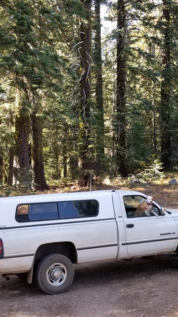
We have been planning a trip through the Plumas Backcountry Discovery Trail for about a year now. Being blessed with a choice schedule at work, the woman and I came upon a three day weekend that we both had off and decided the time was right. We were resolved by our previous day trips that had exposed us to some of the basic skills needed to complete a multi day trip in the back country. We worked our radios, studied lines, developed understanding of threats, learned how to over come obstacles. All of these building our confidence and leading to this day. We get it, this isn't an expedition to Alaska... We aren't doing the TAT or anything like this. The fifty or so miles we covered on the trail and it's side treks and the time we spent planning and executing are worth every single bit of energy it took, and I'll bet the big expeditions say the same when they are done. What some people might cover in one day, we took 3. We meandered and wandered and stopped and saw. We explored and imagined and took it all in, and truly, that is what overlanding is all about.

Plumas National Forest is located about 1.5 hours NE of Sacramento, accessible through places like Oroville and Chico. The area has a rich history dating back to prehistory cultures, native American cultures and then the Spaniards, who colonized and built their missions. In the mid 1800's when the gold rush swept the area, miners came in the thousands to find the fabled 'Gold Lake'. The names of those miners live on to this day, with lakes and creeks, towns and peaks all named after those who settled and laid claim to the land. Lest we forget, the Spaniards that came before the miners and crossed a fork of the Feather River, named in 1820 by Captain Luis Arguello. Rio de las Plumas and its tributaries sprung up thousands of claims which brought forth hundreds of settlements, some grand and some diminutive. The vast majority shared the same fate, to be swallowed by time and mother nature. The buildings and byways of these habitations may be mostly lost but the landscape is forever changed by the occupation that brought those miners and built those towns. We hoped to see a history in reality and learn what we could from what we saw.

*I make a note that this journey did not look for, nor discover, any history of the civilizations that existed and flourished in the area before foreign feet touched the soil. I would love to undertake that expedition some day.

Our beginning was here:

https://www.fs.usda.gov/Internet/FSE_DOCUMENTS/stelprdb5428383.pdf
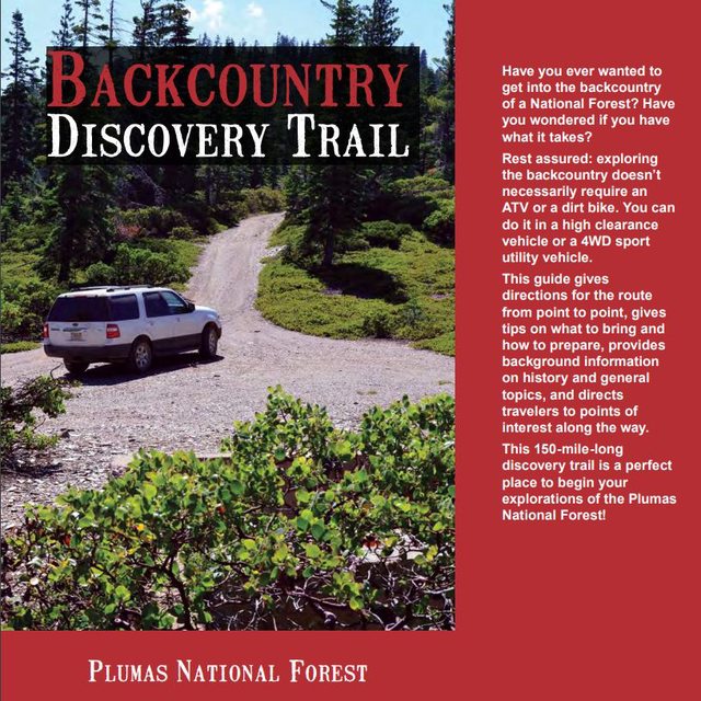


We poured over the pages and found the easiest route on google maps to take us to the start of the trail in La Porte, California. This town of 26 (in 2010) was a boomtown in its heyday, claiming ten thousand residents and potable water piped in through redwoods made into main water lines. From our home port in Grass Valley, CA we followed hwy49 out of town and over the ridges. At some point we took a left, and followed that road till it reaches the southern shore of Bullards Bar Reservior, which dams up a tributary of the Sacramento River and creates a 600+ foot deep lake behind it. At our visit, it was far from that, but still appeared to be a great recreational site. Turning left onto Marysville road the tranquility of the wooded surroundings releases to a stark contrast of the industrial concrete and steel of the high security of the dam, which leads to a right onto Oregon Hill Rd. A few more miles down the road and you take a right on to La Porte Rd, which leads to its name sake.

Packing up is such hard work
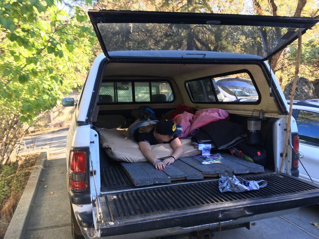


Last minute mustering of the expeditionary force!


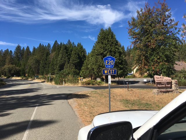
We took CA49 out of Grass Valley/Nevada City, and headed out past North San Juan. After 15-20 miles or so, you turn left on to Marysville Rd and see this. We passed it once and had to come back.


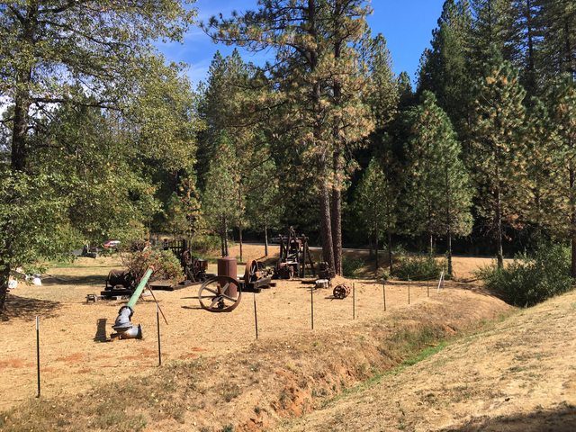
Some equipment used by the miners who flooded the area (pun intended) in search of riches and placer gold. How that differs from normal Au, I'm not sure.


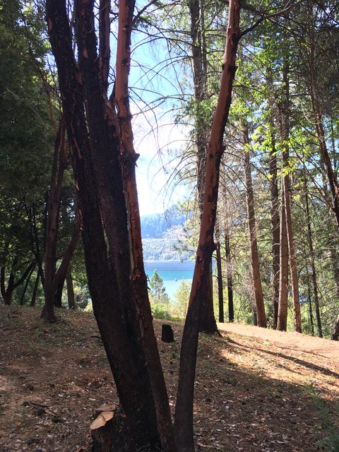
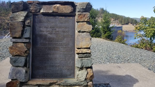
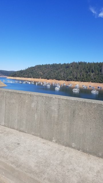
You end up on the southern shore of New Bullards Bar Reservior. Constructed in 1961 it is a flood control dam and a belongs to Yuba County Water Agency. On our visit there, it was below capacity which was not surprising given the season.
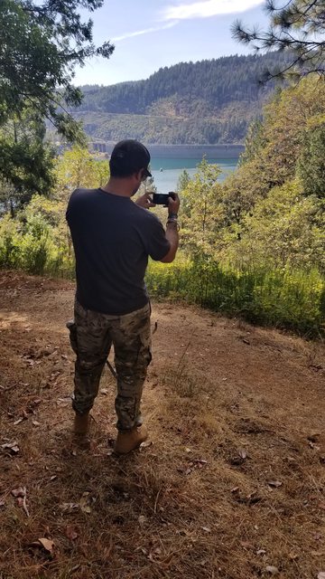
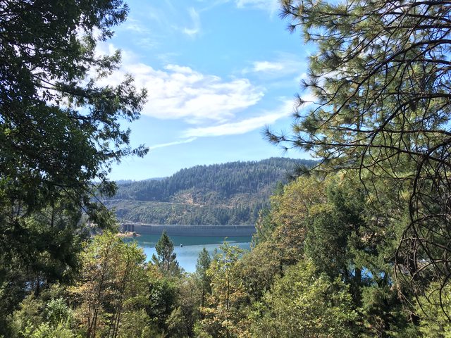


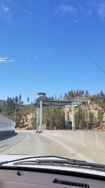
The dam feels like a check point, controlled and imposing. I suppose security ought to be high and I found I was more distracted by the awe of the engineering and scale of the structure.

 
Last edited:

Ashton

Rank IV

Pathfinder I

1,212
Near the Rubicon
First Name
Hari
Last Name
See Above
After our brief respite at the lake, we continued on to La Porte and the start of the Plumas Backcountry Discovery Trial. Once again, our Googleometer and it's outstanding apps added a thrilling side trek to the adventure, to test our resolve and our navigational control of the newly donned ∩OV Serenity (that reads ∩northodox Overland Vehicle Serenity) in an unfamiliar environment.

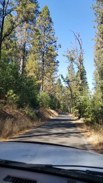
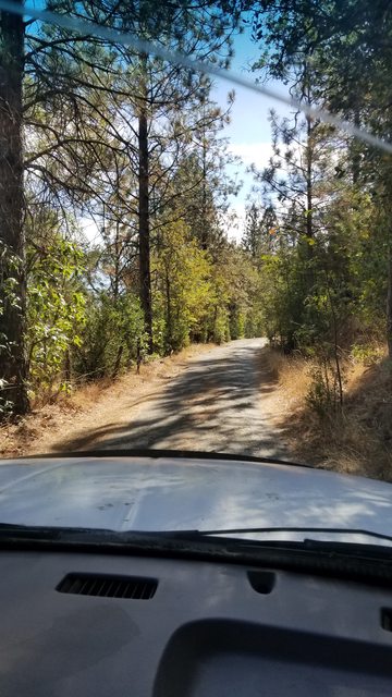
We were directed down this road, which at first glance was gladly accepted as a plausible route because we were anxious to see dirt and no people.


We ended up on this road
]


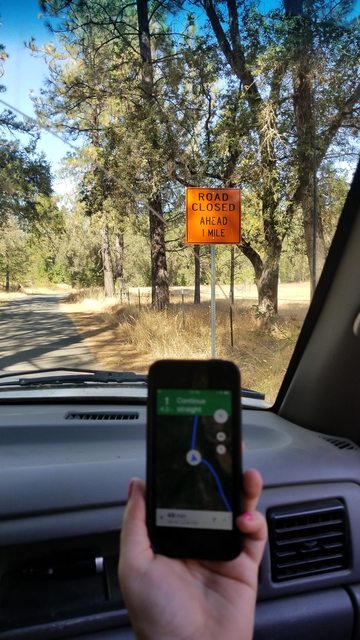
And then our reliable Googleometer directed us through this obviously mis-marked road sign


All the while, our attitudes remained...


Along the way we got to see things that we may have never seen in our lives. Really, we will likely never see these things again. To us, they only exist in pictures and memories. One of the beautiful boons of overlanding.


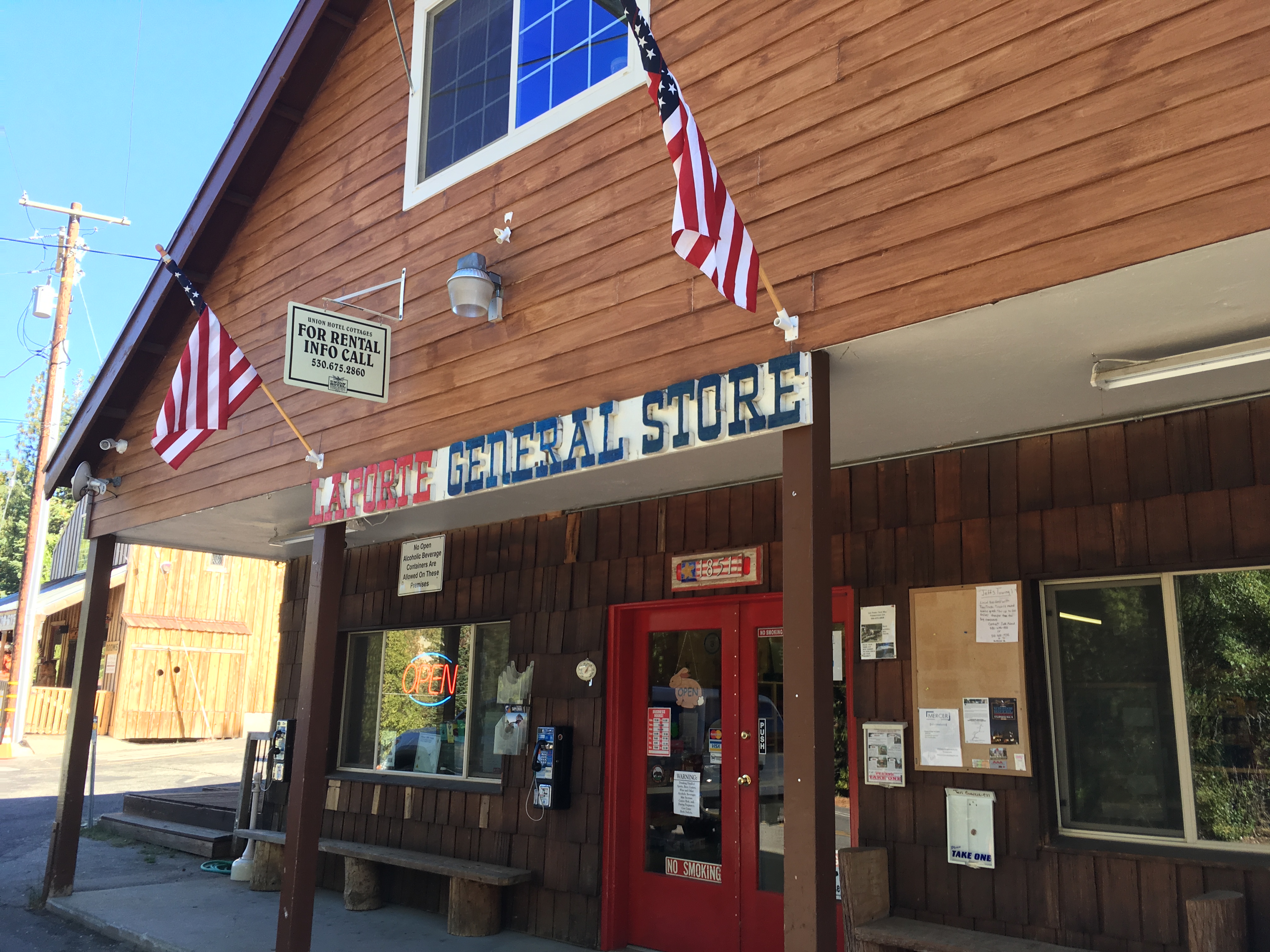
The thrill of the adventure and the reliability of our Googleometer taught us another valuable lesson - have paper maps. We applied this knowledge once we reached La Porte, and got ourselves a laminated paper map of the area (the same as the one they had displayed on the wall by the coffee machine in the general store in La Porte). After we questioned our mileage and asked some hopeful local for directions, we ended up finding La Porte Rd and turned right, finally heading northeast into the mountains. We had ultimately missed our turn on Oregon Hill Rd, though our round about route was much more enjoyable I suspect.
 

Ashton

Rank IV

Pathfinder I

1,212
Near the Rubicon
First Name
Hari
Last Name
See Above
Some quick navigational inputs were made into the controls of the ∩OV Serenity, and we were returned to a course that would intersect La Porte Rd. Once reached, we took a right and we were finally pointed in the direction of the wild that we seek. The unintended adventure created by following our electronic devices was liberating and forcefully returned us to the basic navigational skills we had developed the previous months doing those day trips. Activating the sub-infinity propulsion drive, we made pace.


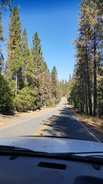
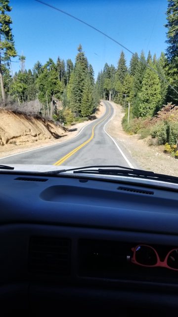
La Porte Rd looks like this, so if you see this, know you are on the proper path traveler.


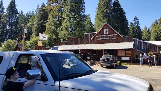
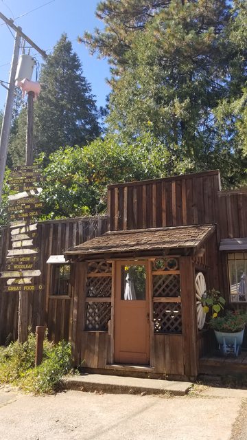
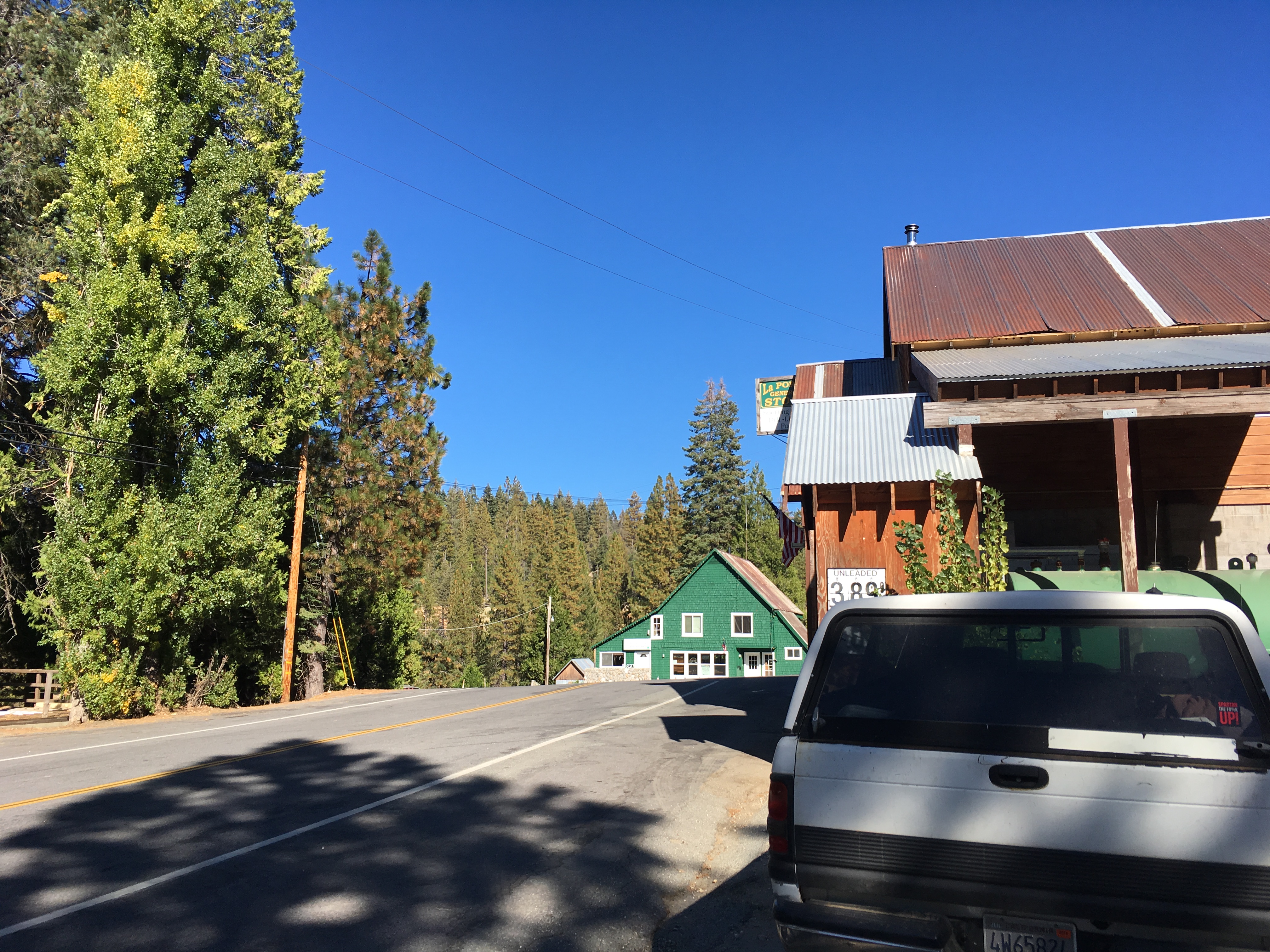
On the path you will come across this place. I cannot vouch for its burgers, pizza or deli but it does exist as a place to stop and gather in a group.


Should you wander to this point, unintended on an expedition with another goal, this marker here is your salvation brave soul. Let the pink pig pole (trademark) point you true.


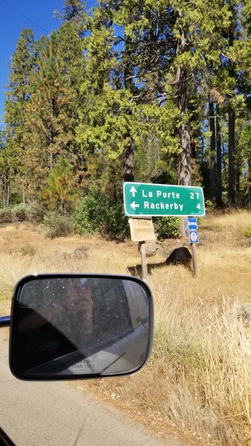
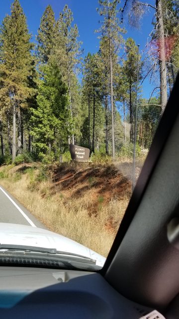
On down the road and you will see a sign that directs you thusly.


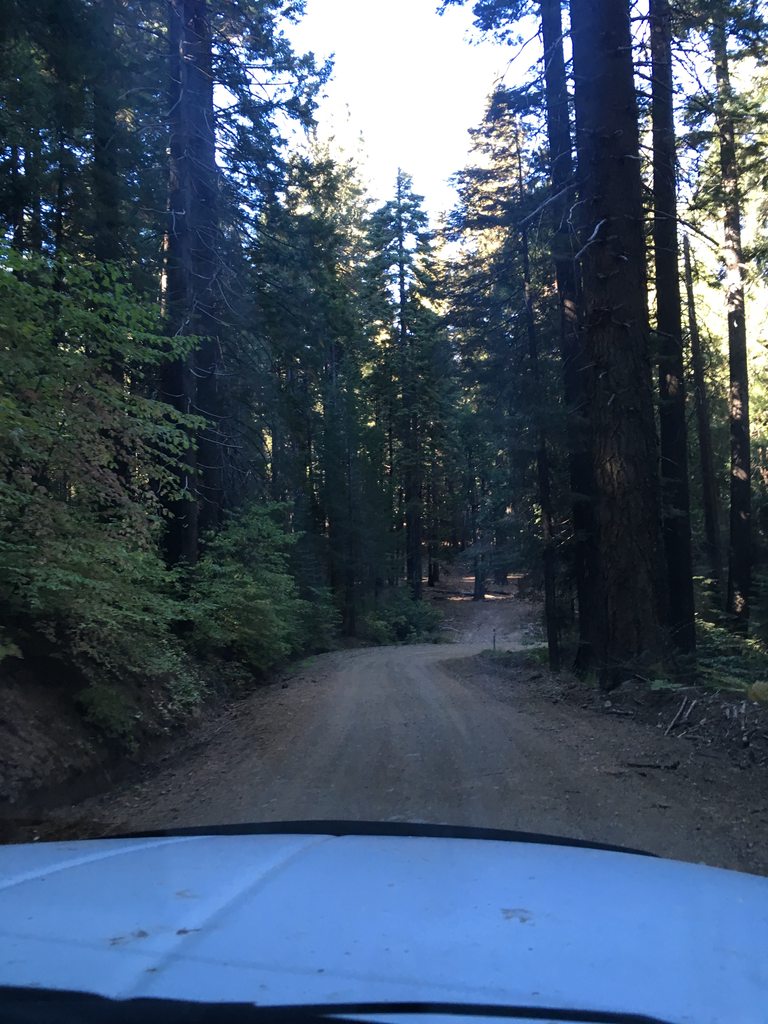
Uninterrupted scenic things will zoom by the portholes on your rig. Enjoy them, but be safe. Squirrels and deer are abundant and will react with panic behaviors when approached at high speed.


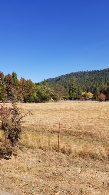
If you see this, you are nearing the end of this leg of your journey. I found the experience a lot like my home area with a more noticeable splash of maple red and aspen yellow. The manzanitas were shorter too.


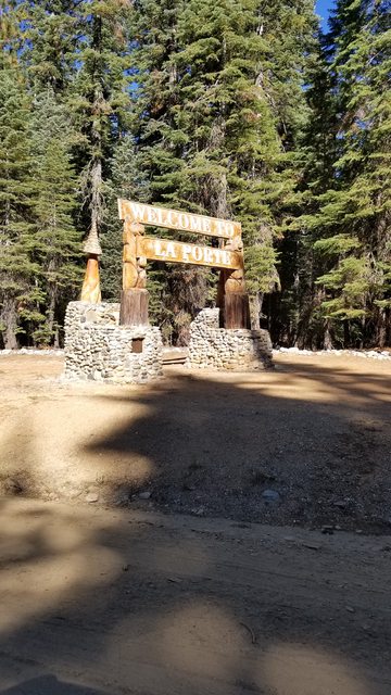
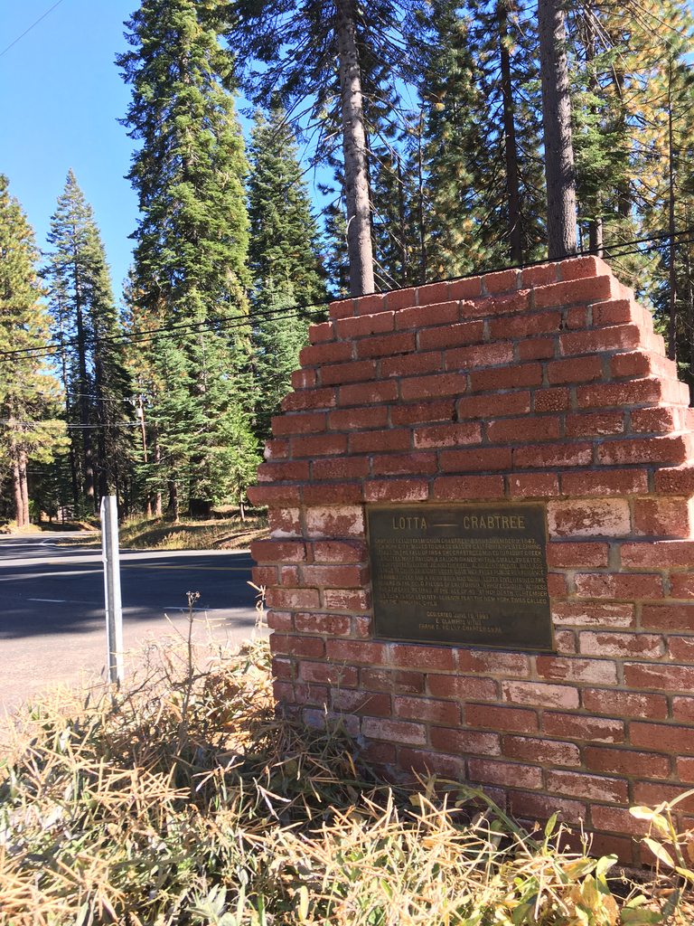
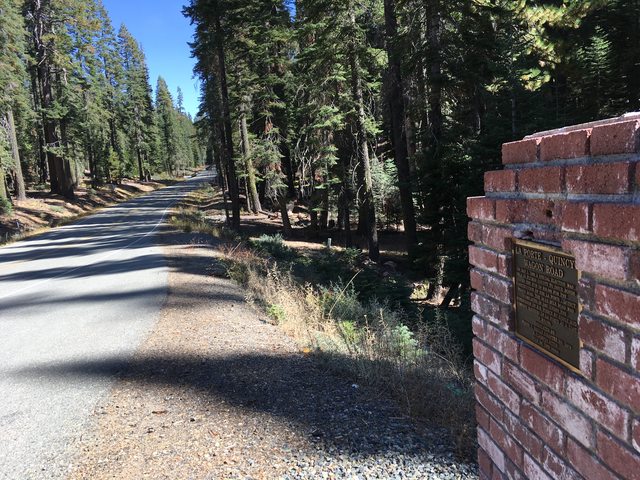
Nearing the port of La Porte you will see this some what out of place monument to the town formerly known as Rabbit Creek.


Gold was found here before California was made a state in September of 1850, and a townsite was on the spot when Yuba County was founded as one of the first 27 counties in California. In 1857 the name changed from Rabbit Creek to La Porte, supposedly to curry favor from one of the towns celebrities who grew up in La Porte, IN. The speed slows down both literally and figuratively in this neck of the woods. You can feel the difference in pace of life here. I come from a place where the local cash crop makes some folk real slow and I could still feel a different pace of life. The lady and I suspect that some folk up here take a while to catch up to the goings on in the rest of 'Murica. More to come shortly, the trail hasn't even begun yet.
 
Last edited:
Ashton

Rank IV

Pathfinder I

1,212
Near the Rubicon
First Name
Hari
Last Name
See Above
La Porte feels like an old place. The history dates the town to a time before the creation of the State of California, and there has been human hunter-gatherer and tribal villages here a lot longer. When the miners first arrived here to exploit one of the forks of the Yuba River for its rich gold deposits they found the Maidu culture who inhabited the 'Feather River region', which includes the Yuba, Bear, Sacramento and American. Their territory extended from Mount Lassen in the north, the American River in the south (the irony...), the Sacramento River in the west and the highest peaks in the Sierra to the east. Their history extends back a couple of thousand years in this region and the vitality these previous cultures left behind is palpable. If you have traveled to places of history you understand what I mean when I say it felt like an old place. Perhaps because the area had a history of hosting humanity for so long, most of the worry I had about what-coulds and possibilities regarding the trip seemed to fade away.

Enough of my banter, you can easily use your Googleometer to search for info on Plumas County Gold Rush, La Porte California, Maidu Tribal history or Native Cultures of Plumas County (notice I put together easy copy and paste search strings - You are welcome:bow:).

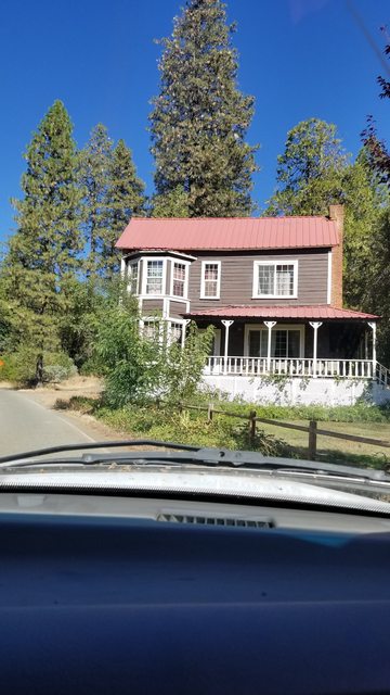
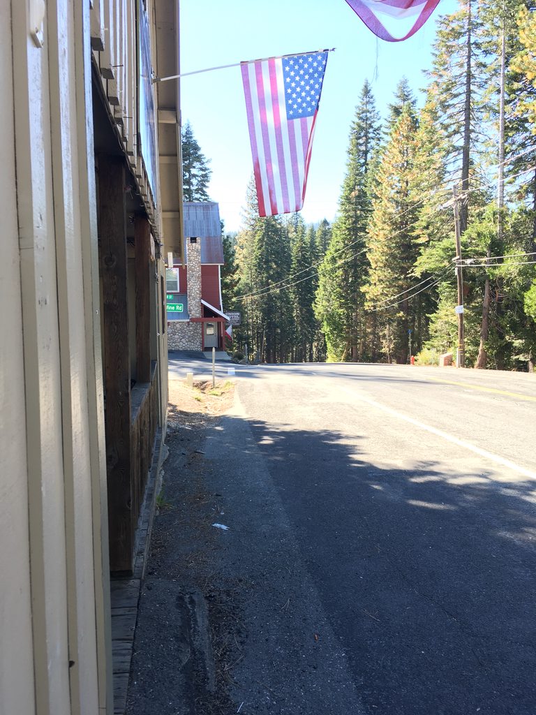
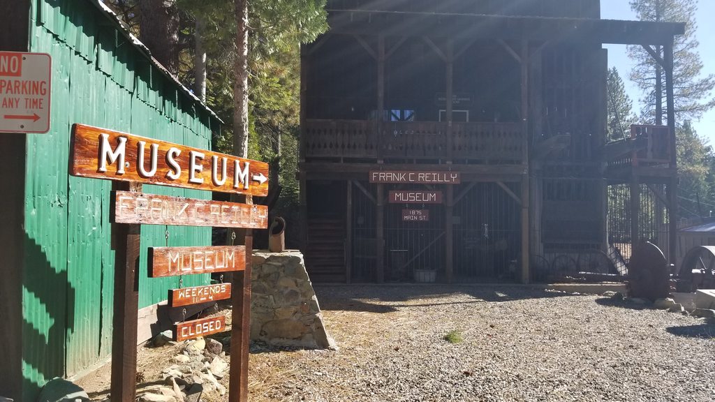
I'm a fan of wooden exteriors on buildings. I would love to own a log cabin some day, so when I saw the cedar siding on a lot of the buildings I was made to smile. I can't remember what this building was, but it was at the head of town, when you first enter in on La Porte Rd from the south.


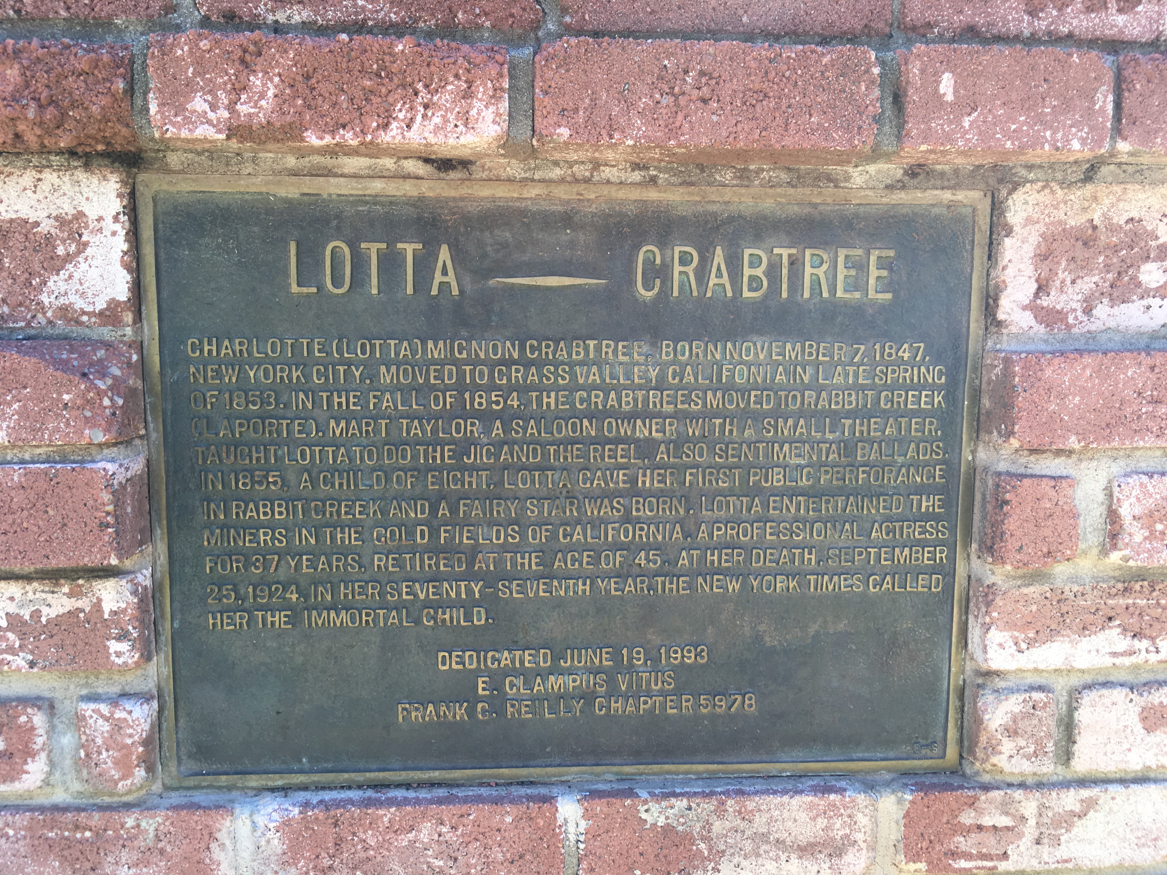
A plaque to a local celebrity named Charlotte (Lotta) Mignon Crabtree. She was a show girl of some fame in the area, performing at the towns and settlements around the area. She was an actress for 37 years and died in 1924 at the age of 77, her life has been memorialized in the film Golden Girl starring Mitzi Gaynor I found it interesting that this area shared a lot of historical ties to the area I currently live in, which make sense, as the areas are on the same altitude of the same mountain chain and separated by 50 miles or so of forest. The Plumas and Tahoe NF's are neighbors afterall.


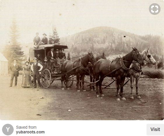
A historical photo claiming to be from Plumas County Archives, showing settlers to the area. I always try to imagine what early settlers to the area thought of the place when they got there and put myself in rustic shoes. It isn't an easy practice given the effect that progressing time has had on the surroundings, but I find it interesting and exciting.


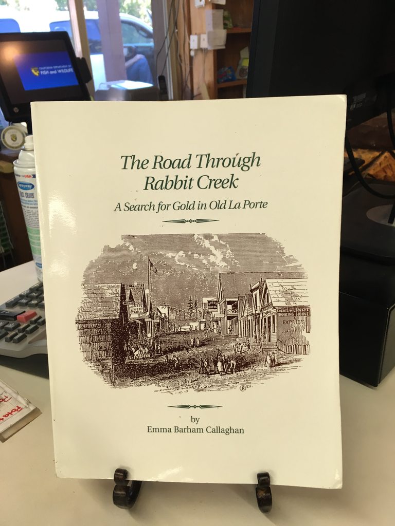
A book on local history I should have spent money on, but did not.


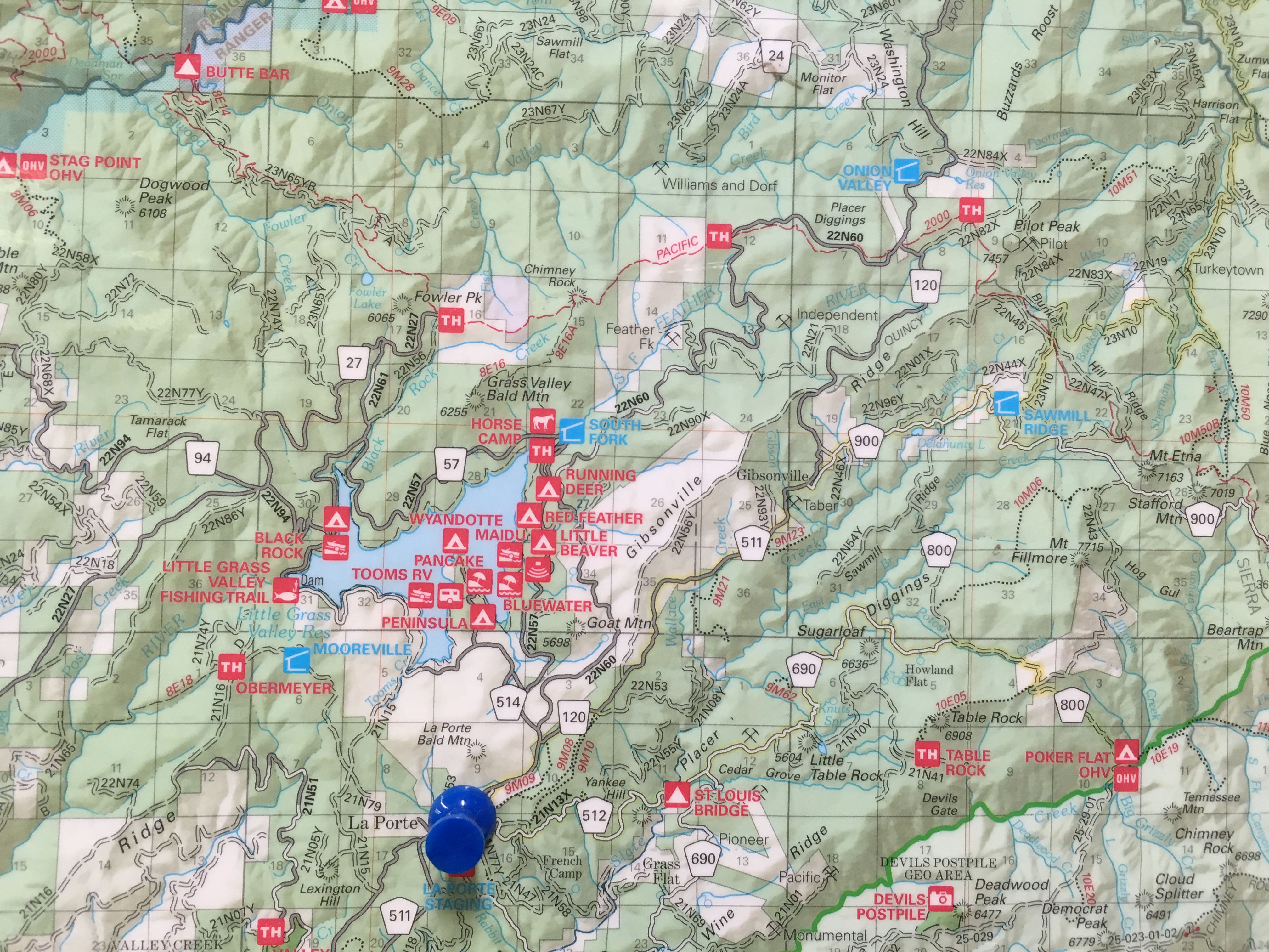
A section of the map that we ended up buying. This one was on the wall and included a 'you are here' tack. This map was accurate and incredibly useful on the trail. Budget $20 for this gem. I paid $7.95 for a putty knife at the same store so that I could use it in place of a spatula to flip pancakes. I had forgotten a few things in the packing list because I'm a procrastinator and then rush to finish up. I ended up making pancakes when we got home on Monday. Anyone need a brand new putty knife/pancake flipper?


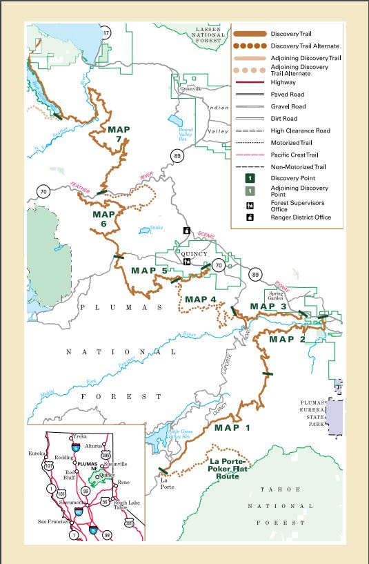
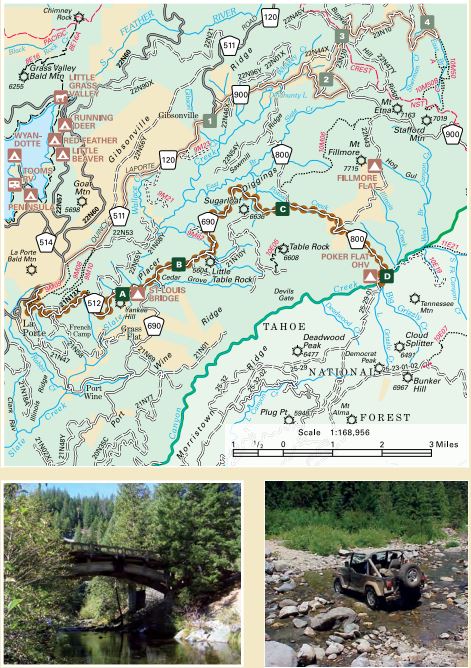
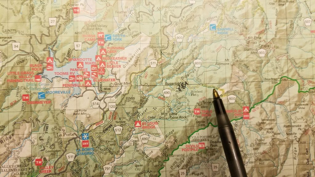
Here are a picture of the Plumas BDT as a whole, and then a picture of the 'Alternative 4x4 route' for the first section. This is the first part of the BDT we attempted to conquer on this expedition. I have full confidence in my vessel and my crew and I was certain we could adapt and overcome all obstacles that came before us. With this astounding amount of confidence, and three huge smiles on our faces, we pointed the fully provisioned ∩OV Serenity towards Poker Flat. I've included a snippet of the map to that area too. The maps in the PDF in post 1 are accurate. Not necessarily to the mile in every case, but very close. The GPS coordinate differences can be easily attributed to device and program differences. Use the PDF with confidence... but get a map at the store.


Ashton

Rank IV

Pathfinder I

1,212
Near the Rubicon
First Name
Hari
Last Name
See Above
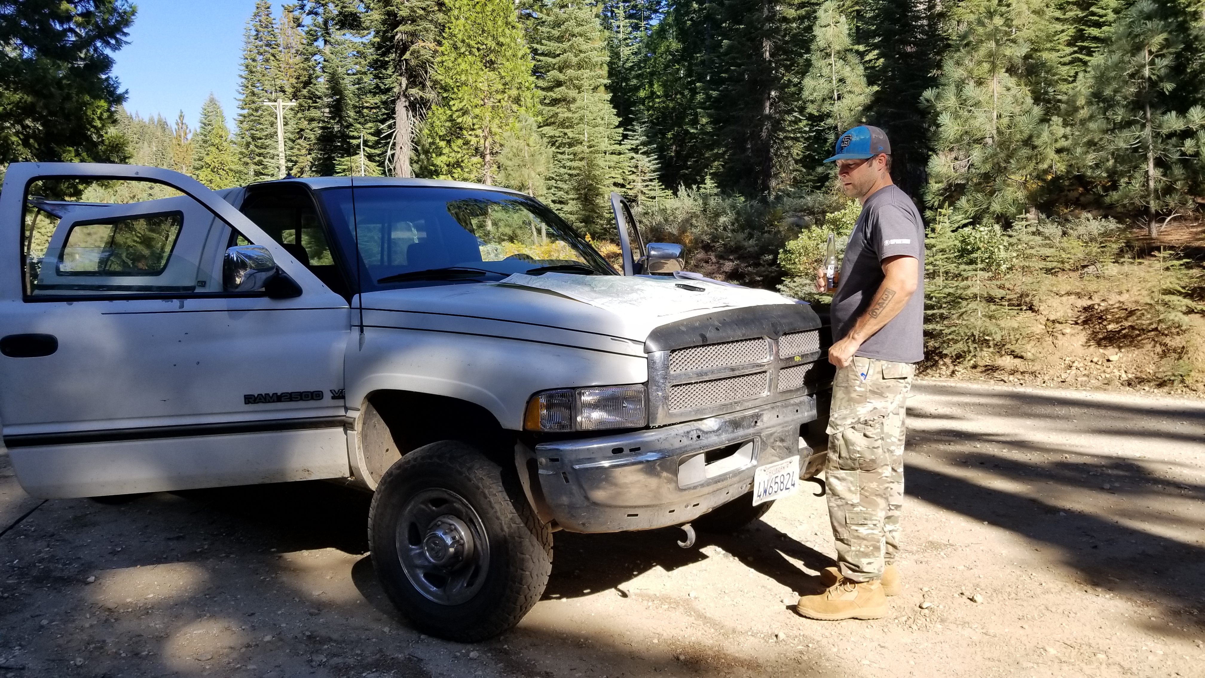
According to the mapped out route, we needed to take road 512 and connect to 690. Just after Howland Flat, we would turn right on 800 and end up at Poker Flat. This was the plan, and so we made our way out of La Porte and quickly found a sign that pointed us in the right direction, a sign that the locals told us we would find. We pulled over to review the route and get some landmarks marked, to keep an eye out for.

Establishing landmark features we would use to track our progress and help maintain proper course. You can't really get lost on this portion of the road system, so perhaps a tad unnecessary. Having the maps landmarks and our Googleometer landmarks synced up was helpful to us. Also, while I do not condone drinking and driving, my theory is that a cold beer can sometimes help the brain operate more efficiently. Or so was the science experiment I was conducting at the time.


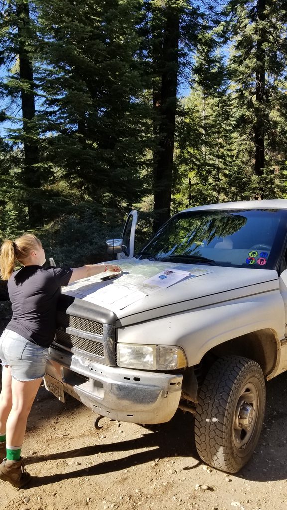
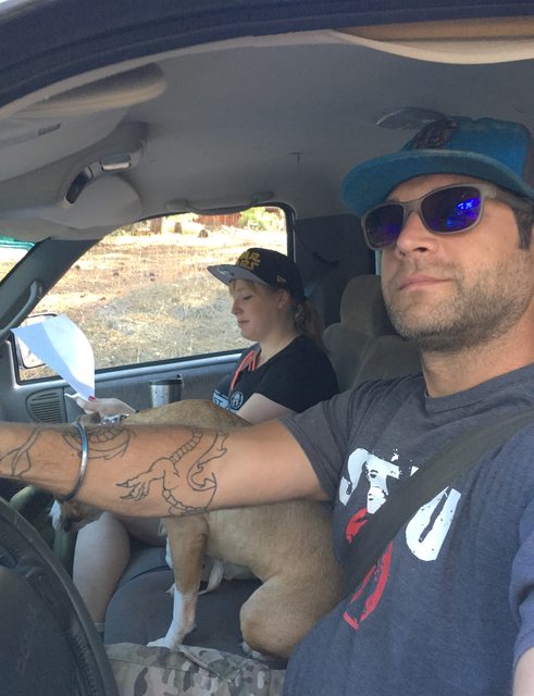
My co-pilot/navigator/first mate is a far better view than I am.


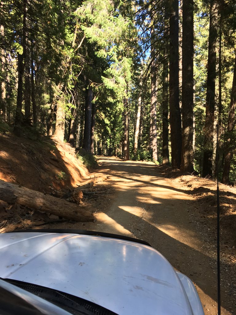
The first part of this road is a graded and fairly smooth dirt road. For the forest, this is a highway and we came across much traffic that looked to be, almost exclusively, hunters. Some were peering up into the trees, looking for squirrels while others were decked out in woodland camo, rifle tucked in the seats next to them, driving their various side by sides, atv's and old beaters. If your idea of hunting is cruising back roads looking for an opportunity to step out of your engine humming, stereo blasting noise box and felling a 6 point then you and I have hugely different viewpoints on hunting. We took note of the type and number of folk we crossed paths with and not all of them gave us comfortable feelings. We rarely think about it, but it is times like this we are thankful for the 12 gauge we bring with us into the forest and reminded us that we need to get that CCW permit squared away ASAP.


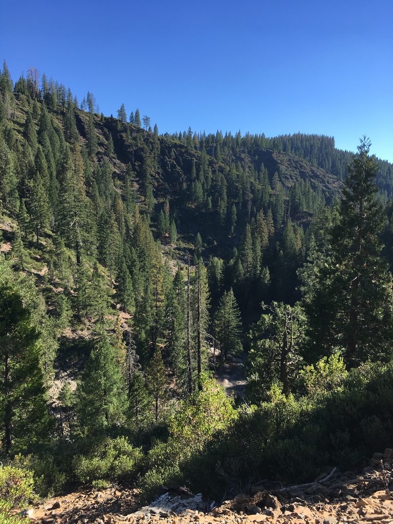
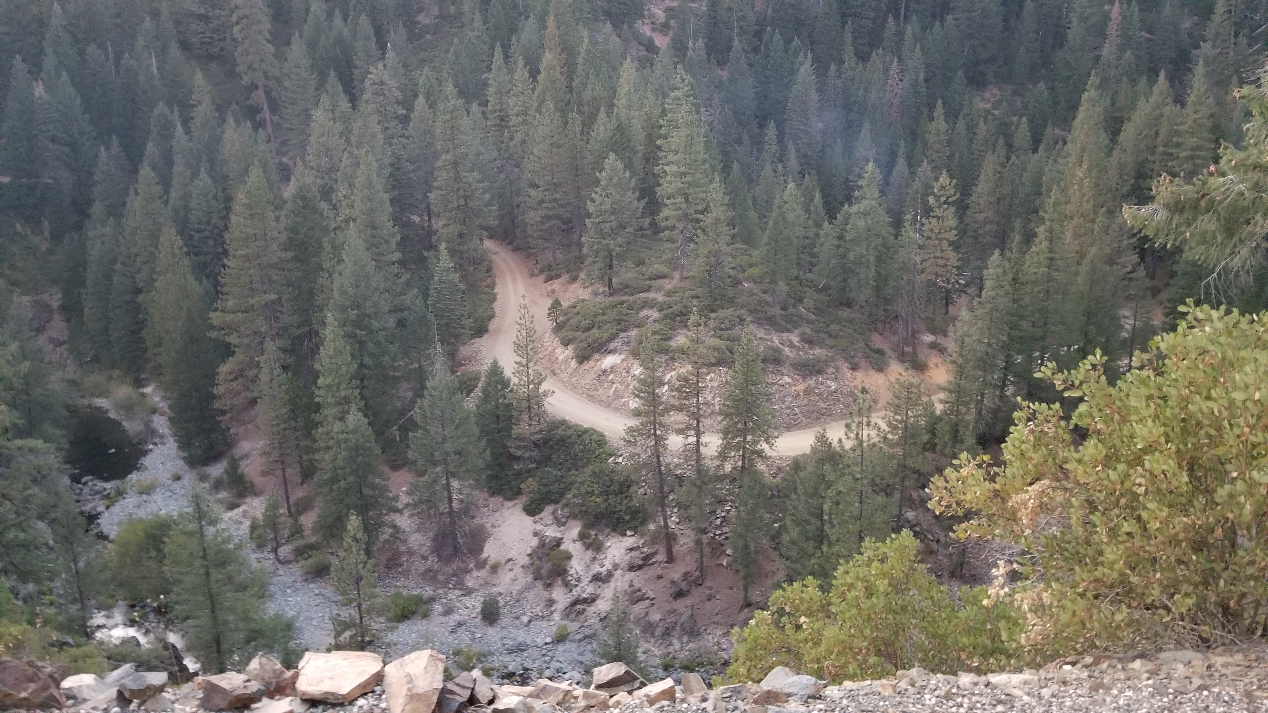
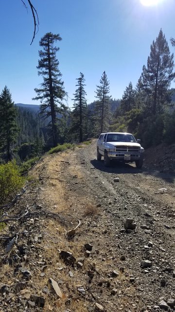
I have yet to find a set up or camera that accurate portrays the depth and complexity of natural terrain. The common 'this is steeper than it looks' situation presents itself often in this terrain.


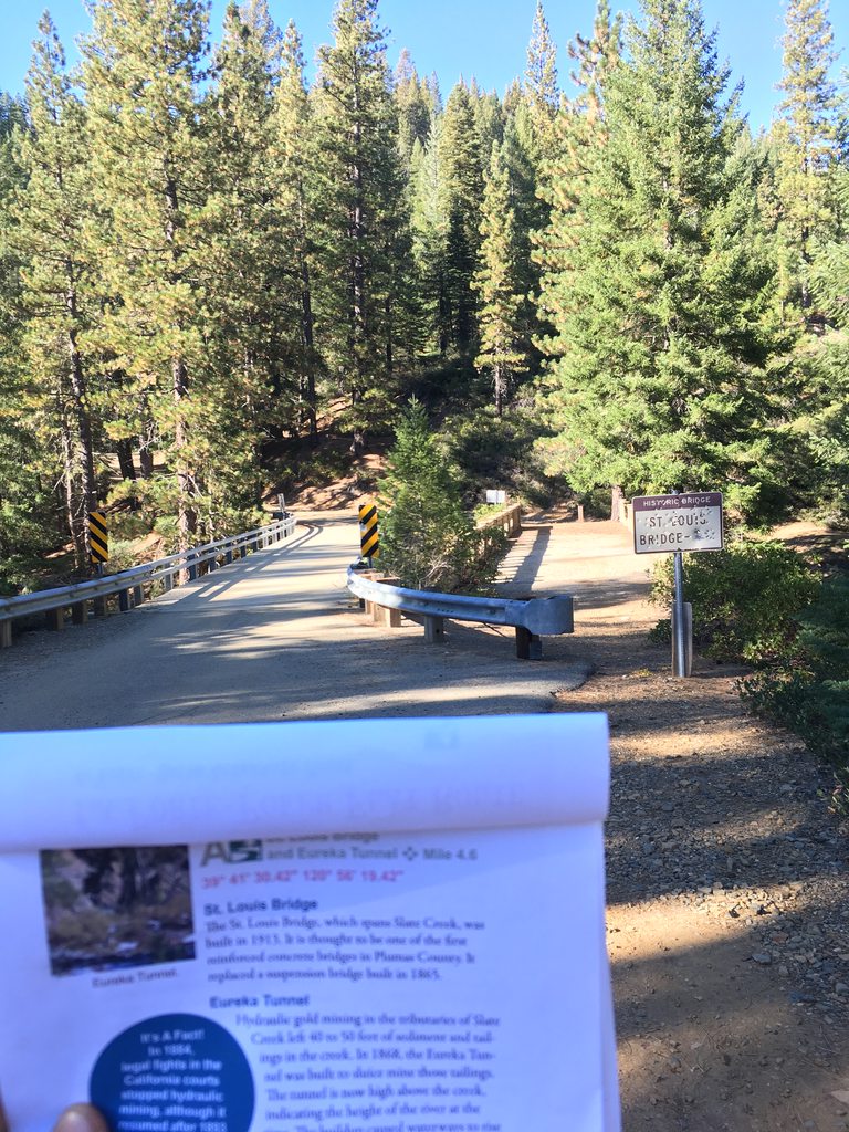
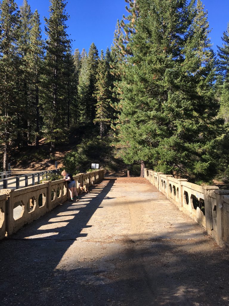
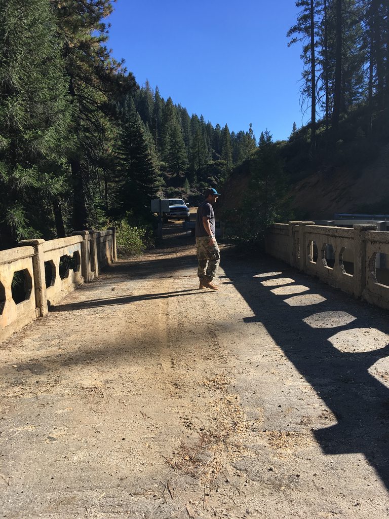
We arrived at the first waypoint on the Plumas BDT, a accomplishment we relished in a bit. This was the official embark point for us on this expedition, as we had spent a few miles on dirt and had met both the mileage and the GPS coordinates that the PDF gave us. We felt emboldened. St Louis bridge once connected the Rabbit Creek (La Porte) township to the St. Louis township (yes, after THAT St. Louis) which was one of a dozen or so small townships that sprung up in the area during the gold rush. This bridge crosses Slate Creek. In 1852, at the head of Slate Creek, in a public house owned by a Mr. Dunbar a most heinous crime did occur and Mr. Dunbar lost his life. His cook, Fillmore, was eventually tried and hanged for his part in Mr. Dunbars murder. Two other accomplices were also strung up and hanged from the neck till dead for their deeds... the actual killing. It was noted that a well to do man by the name of Miller, set up with a fine education and a knowledge of law, was hung all the same after 15 minutes of deliberation. Justice was swift and based on the majority in those days and even when questions of the guilt of the three men came up, the populace threatened to kill anyone who cut them down. The head of Slate Creek appears to come out of the Bunker Hill Range, which is northeast and upriver of this bridge. The Bunker Hill Range is close to Gibsonville, so perhaps this story is from that area.

"Let him hang, d------n him; let him hang like a dog. The man who lowers Miller dies with him." - Illustrated History of Plumas, Lassen & Sierra Counties San Francisco: Fariss & Smith (1882)


Ashton

Rank IV

Pathfinder I

1,212
Near the Rubicon
First Name
Hari
Last Name
See Above
At one point in history, Slate Creek was diverted through a tunnel to allow for mining. According to the PDF of the BDT we should have seen that structure on the hillside above the current day creek levels. This was to be an indicator of where the previous level of the creek was in that day and a neat perspective on history. We missed it. I cannot confirm nor deny that it exists, because I plain don't know. What I do know is that I am distracted in the forest for I see both the forest AND the trees.

We climb in elevation after crossing the bridge and make our way towards the town site and cemetery for St. Louis, as marked on our guide. We were doing regular mileage checks where I would report our distance and then get feedback from navigation about our proximity to sites of interest.


As Serenity neared the coordinates for the St. Louis town site we came across this, which appears to be a guided trail of sorts. I did a short search and could not find any information and there was no obvious marker as to what it was. It corresponded within a half mile to the coordinates on the PDF in post 1, so we assume it to be access to St. Louis town site and cemetery. We did not take the hike.


We intended to get out and show you remarkable pictures of history, but alas our day light was dwindling and our motivation to find remnants of the past was not strong. We wanted to try and reach Poker Flat to camp over night and we knew the last few miles would be a challenge. For now, we took the course of least resistance and took ∩OV Serenity up into the hills towards Howland flat.

I try to imagine what folk who were new to the area might have thought of the place in the 1800's. I imagine the wonder and excitement they must have felt. I consider what dangers they may have faced and how they might have possibly interacted with local habitants. I wonder what it was like to lay a claim and to work the flats and to bring your gold to town and celebrate in the local establishments. I'm curiously facinated with the time period and I was constantly scanning for any hint of history. I was greatly distracted by the beauty of the area and began to pay more attention to the road in front of us.


Ashton

Rank IV

Pathfinder I

1,212
Near the Rubicon
First Name
Hari
Last Name
See Above
As we kept climbing the knife edge flattened out and we entered in to a high meadows type landscape. It took me a minute to figure out why the topography had become mostly uniform, intermittent undulations of a whitish stone with periodic clearings in the trees. It was an alien landscape, until i realized that we were driving by miles of tailings. These left overs of hydraulic and sluice mining are discarded in piles and patterns that create a uniform series of small ridges and valleys where vegetation has regrown and resumed its timeless trek. Having lived in Silver City, NM for a portion of my life, I have seen this sort of terrain features before but not on this scale. It was very interesting.


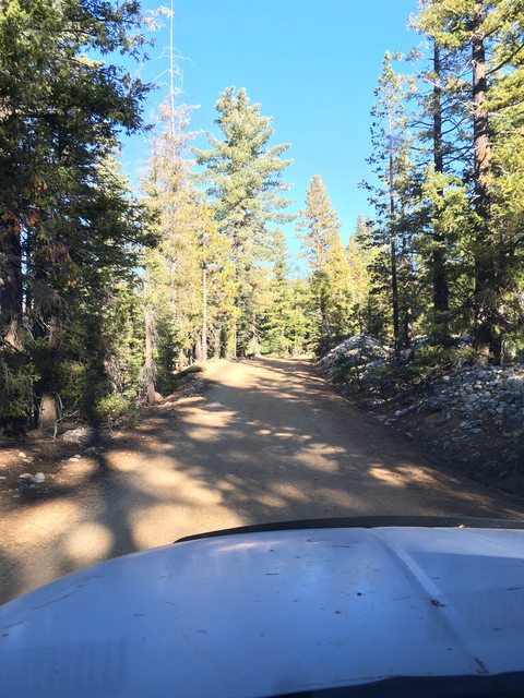
I enjoyed the surroundings of various evergreens like sugar pine and spruce and the odd smacking of aspen yellow and maple crimson. These would become more predominant later in the trail. The manzanitas are shorter here than in my neck of the woods, and their leaves only starting to change colors. We maintained a casual pace, both enjoy the scenery and not overtax the small tires, tired suspension and fading rubber of our overlanding rig. Mostly we were distracted by the nature around us and we saw a lot of things that looked like this.


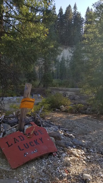
As you ascend towards Howland Flat, you pass a stark face of white rock and sediment on your right. The color is a palate cleanser from the green of the flora and the blue of the sky. Miners used directed streams of water to erode the gravel deposits on the hillside and created this cliff face as we see it today. The ridges and piles tailings were further mined by future waves of the hopefully rich and they scoured clean the boulders. The area looks like it had been sterilized at some point and yet Mother Nature was reclaiming her space, as she always does. Apparently in 2010 the owner of the Lady Be Lucky mine was looking for a capital investor to help develop the site for selling off (I suppose). When I passed in 2017 it looked used, but certainly in no stage of development. There also used to be a townsite here, which is not surprising. We did not hike around and explore much.

https://thevelvetrocket.com/2010/07/16/california-ghost-towns-pine-grove-and-the-cole-cash-or-comet-mine/


  • Like
Reactions: MBroenkow

Ashton

Rank IV

Pathfinder I

1,212
Near the Rubicon
First Name
Hari
Last Name
See Above
There seems to be a certain point on my travels into the back country when the energy starts to feel more natural. I don't know if I can describe that feeling any better, but I'm sure some of you know what I mean. The hustle and bustle of civilization has a certain flow and push and ferocity to it - by nature. This is how we evolve and grow and become more. When you are away from that, among the trees and other things that live at this different pace of life, you can feel it. A clock becomes useless and time is determined by looking up at the sky or down at the shadows and not from a mechanical device. A breeze blows through and the scent lingers in our nostrils, as if we were smelling a blooming flower in spring. It was a fresh, clean and pleasant experience and one of the main treasures I seek when we go on these adventures.


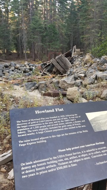
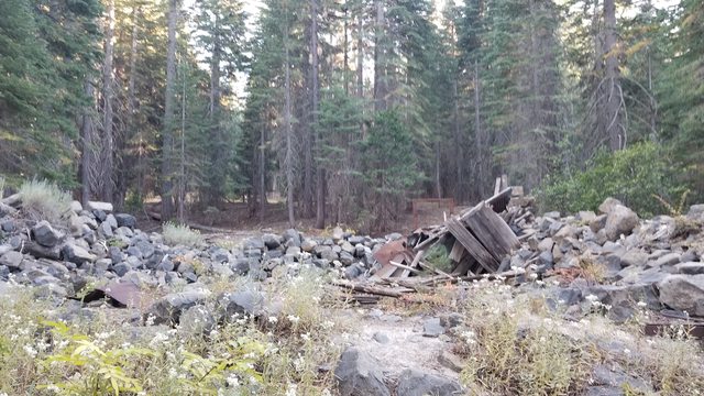
Entering Howland Flat, a marker on the right and the ruins of the former Wells Fargo station stand to tell the traveler that there once stood a thriving community here. The history is best told in this article (link below) and I think anything else I have to say would come from the PDF or the marker that stands there. It is a lovely place and I can easily imagine riding into the area in hopes of prospecting my fortune. Gritty and dirty from the ride, hardened and resolved by the roughness of life as a 49er. The smells of early humanity - unwashed, unfiltered and hard working - still hang in the air if you breathe deeply enough.

A 15 minute documentary on excavations at Howland Flat townsite. Youtube external link.

The Velvet Rocket -California Ghost Towns: Howland Flat. 12/18/11. A neat article about the history of Howland Flat.


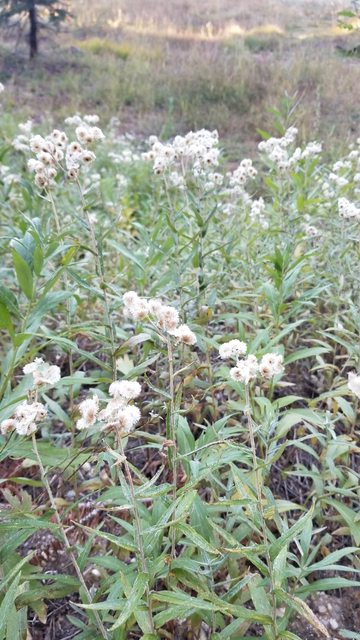
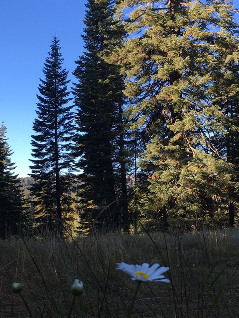
I'm not sure what flowering plant this is. It is really late in the season for flowers and we knew we wouldn't see much on this trip so we snapped up pictures of the ones we did see, like modern day school children with a pressing book.


This large meadow to the left side of the road housed several stores and dwellings in the heyday. There was one lone flower out there now, and a darker side of my mind attributed that to the countless souls who died, in any number of ways, in this area. In my philosophy, those spirits can linger and can create an energy in a place. While I felt a calm, quiet feeling while wandering the area, my first mate is sensitive to these things so I didn't bother to wander in that part of my brain for too long. It's far to beautiful a place to be tainted with that kind of negativity.


Just past the marker is the (warming?) cabin that looks to be in modern use today. I've seen some mention of it in the history I was reviewing of the area, but clearly it isn't coming back to me. We did not stay here, but we ascertained that this was part of the dispersed camping that is on the PDF and paper maps at these coordinates. Our hopes for the end of today's journey was Poker Flat, so we stopped and wandered and enjoyed the townsite and then ambled up the road to see the local cemetery before moving on.
 

Ashton

Rank IV

Pathfinder I

1,212
Near the Rubicon
First Name
Hari
Last Name
See Above
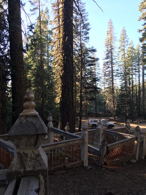
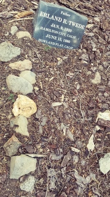
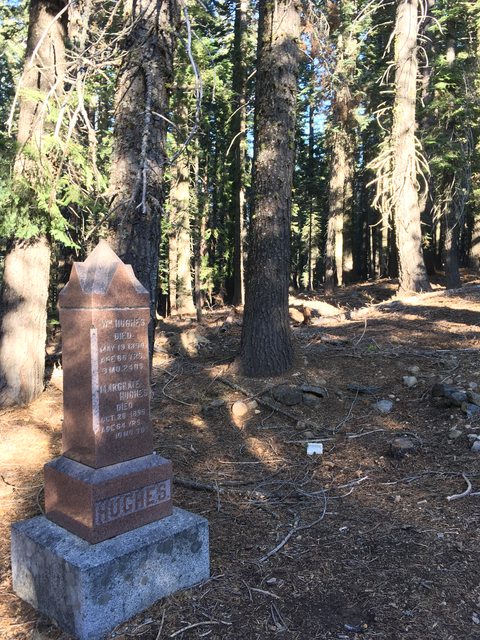
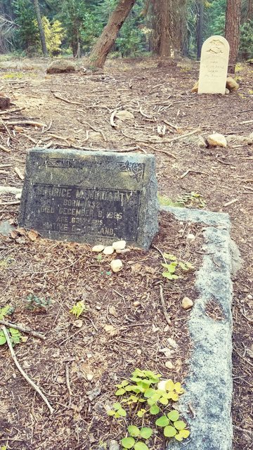
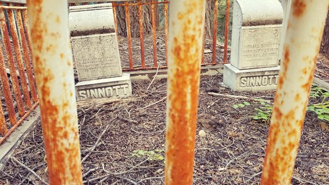
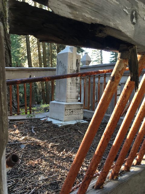
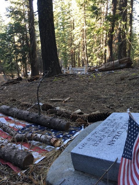
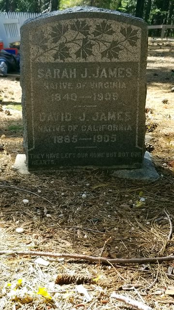
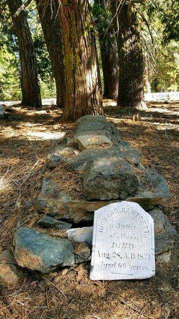
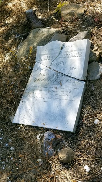
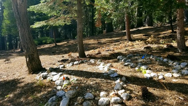
A click or so past the ruined town site of Howland Flat and its national forest plaque lies the cemetery of the people who used to live here. With names like Huges and Sinnot and Goard and several un-named plots, some markers were clearly invested in and some were just a collection of rocks in the formation of an oval. When walking these grounds the crew and I are always careful to avoid stepping on graves, and as much as we might not like to, we leave our dog in the truck. There are some places that should be treated with even more respect than others in the forest and I feel this is one of those places. Oddly, when we visited the Gibsonville cemetery later in the trip, we were less inclined to have such decorum. Not because the setting didn't deserve it, but because the cemetery was clearly being renovated for visiting purposes, which gave it a more 'casual' feeling. The search for history on the Googleometer indicates there are three cemeteries in Howland Flat, we only saw and documented the 'first' area on the right side of the road. This one was designated a Catholic cemetery, and it had the aesthetic.

In researching the area when I got home I came across a document that states there are three cemeteries in the area of Howland Flat and listed the names of some of those interned in the graves there. I will include a link to that document below. We did not strike out and hike the area to explore, but made note of the terrain around us. There was an up-slope that continued on for 200 yards or so till a ridge line and the decline heading northwest. The terrain was mixed conifers with medium to heavy fuel on the ground, bushes and new saplings with a layer of spine and debris over hard soil. Our light was fading and we still had 4 miles that was documented as being difficult. We knew at our current pace the Serenity would make that 4 miles in roughly an hour, with all the stopping for pictures and slowed pace of an unfamiliar place. The fact that these realizations were made in and among the graves probably amplified any anxieties we had. Samsquenches and a witch named Blair roam these woods, we wanted to be setting up camp in the light.

The document: Howland Flat Cemetery Survey 2004


Ashton

Rank IV

Pathfinder I

1,212
Near the Rubicon
First Name
Hari
Last Name
See Above
After we had visited the grave sites and made our appropriate prayers in a sacred place, we boarded Serenity and headed on to Poker Flat. Our light was fading rapidly and without the extra LED lighting that was still installed in a pile on my living room floor, I was had apprehension as we approached the most difficult portion of this section in the dark. My confidence in the vehicle and the crew overwhelmed my anxiety though, and we pushed on.


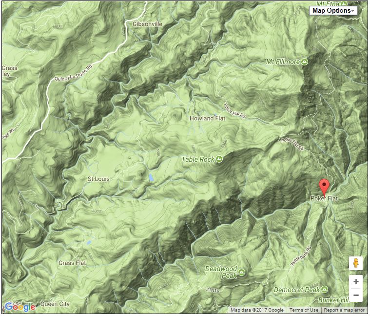
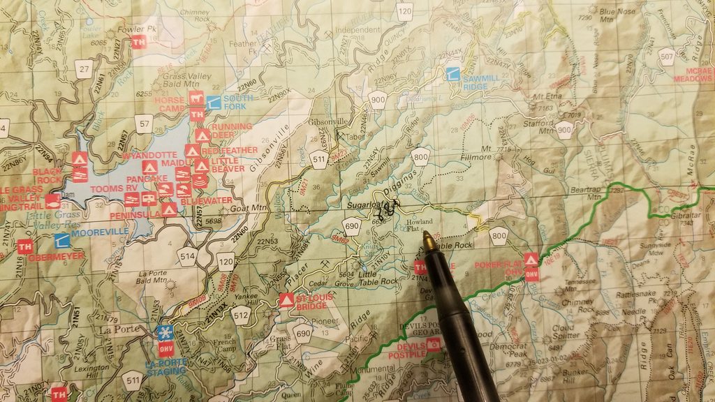
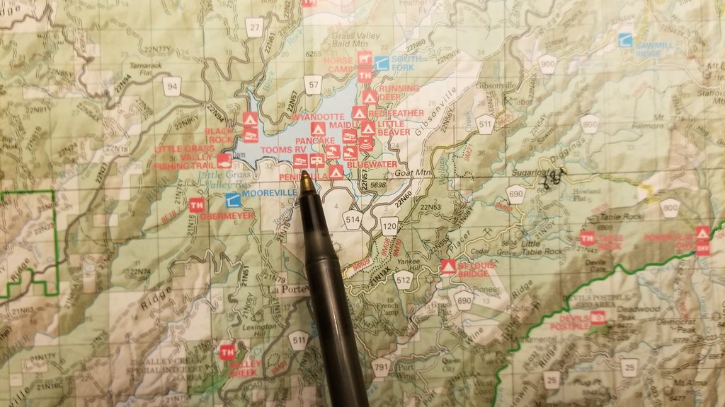
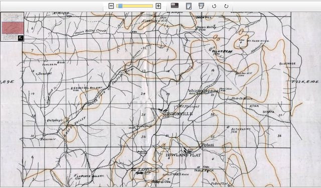
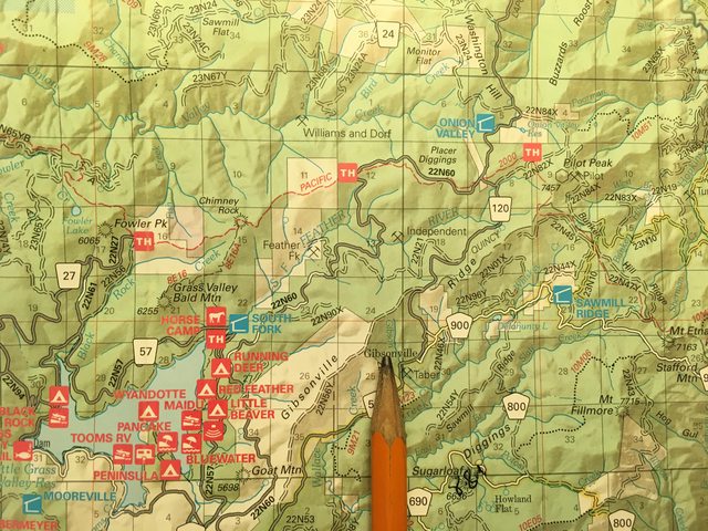
We reached Potosi Creek, which is just above the point of the pen in this picture, and is crossed by the intersection of roads 690 and 800. A left onto 800 climbs a hill, that looked like some powder, pine needles and rock. Passable but not our direction (though, the map shows this could be an interesting way to connection this alternate route with the main route. If interested in discussion, message me.). We took a right, headed to Poker flat which is a little lower and to the right of the pen point. Our PDF marks this as the most difficult portion of this route.


Potosi Creek, looking upstream (starboard side of the vehicle).


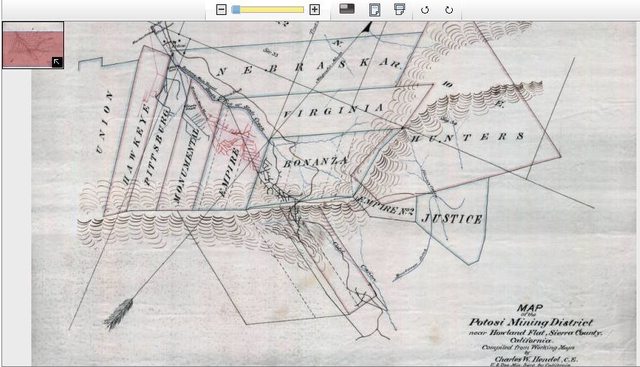
A snippet of a mining claims map from the archives of Cal State Chico (http://archives.csuchico.edu/cdm/ref/collection/coll19/id/338).


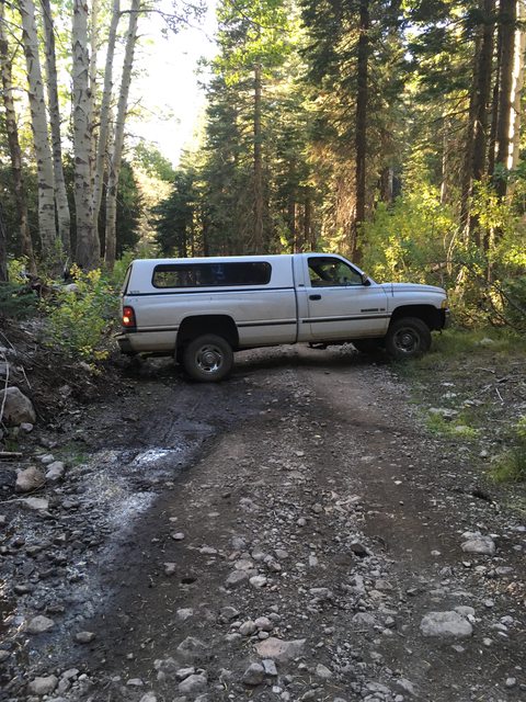
We reached a certain point as we started climbing a hill where the factors of light, road conditions, potential turn around points, driver skill and crew confidence started weighing towards the cautious. With that we decided we needed to turn around if we were going to make it to a night time camp site we were comfortable with. We ended turning around on a gentle slope, where the brush gave us just enough of a space to maneuver the Serenity through a 21 point turn.

The point where we gave up on this portion of the alternative 4x4 route and turned around.


The maneuver in progress. The co pilot disembarked and was needed to assure we did not dent the hull.


Just as we were completing the 36 point turn to head back down the hill to Potosi Creek crossroads, we were approached from behind by a pair of kitted out, soft shell Jeeps. I'm not a huge Jeep nut, so I can't tell you if they were JK or FJ or CJ or any other initial pairing. They were certainly set up for a 4x4 trail and when I pulled over to let them pass me and asked them about the road, I took their criticism of my 29in 245 A/T tires being sub-par for the road ahead seriously. They felt I would be able to get down into Poker Flat but the mix of leaf litter, soft dust and steep rocky road that ran narrow up the canyon would be a bit to much for our rig to handle on either way out. I was unfamiliar with the terrain and I was glad to get some confirmation that I hadn't just 'bitched out' on finishing this route. As they continued on in the distance, the scene around us was an eerily beautiful mix of dusty smells in the nose, dusty clouds in the air and the fading shadows and highlights of twilight.
 

Ashton

Rank IV

Pathfinder I

1,212
Near the Rubicon
First Name
Hari
Last Name
See Above
Heading back out the way we came, we got an interesting reverse perspective on all the things we had just spent considerable energy absorbing and immersing ourselves into. We passed more quickly on the way back, more familiar with the bumps and grinds of the road we were traveling. We made one wrong turn at a fork, and we ended up headed south on road 690 (by taking a left down into one canyon, instead of going right and down into the other). There is a cairn, that I should have taken a photo of, at the base of a tree at this intersection (roads 690 and 512). Road 690 could probably be used as a connector route to extend this portion of the BDT, but that is another adventure for another time.


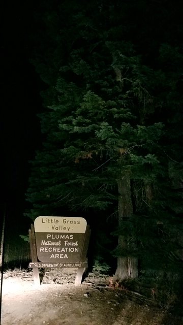
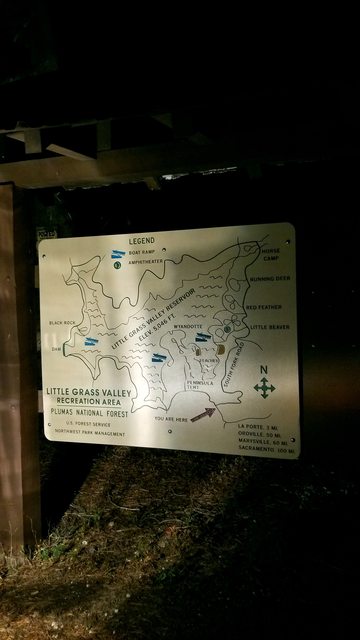
After arriving back at the intersection of 512 and 120 (La Porte Rd), we opted to go right and head towards Little Grass Valley Lake. We noticed the abundance of camp sites and figured we would have enough luck to snag a spot without a neighbor. We ended up at Tooms RV parking on the peninsula, a fine berth for a fine vessel.


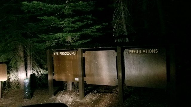
When you go boondocking, this is pretty much the best fee schedule one can find. I will admit that on the way out in the morning we did see a sign and payment post, and we did not pay. I will claim I didn't see any envelopes to place payment in, nor a schedule of fees. Realistically, we were the only people in that whole RV parking area all night, potentially the only people camped out in that grounds, and this was a multi tiered RV parking lot set up.
 

Ashton

Rank IV

Pathfinder I

1,212
Near the Rubicon
First Name
Hari
Last Name
See Above
We picked a spot and backed up to a view of the lake through the trees, which we could just make out by the shimmering moonlight on the water. We set up the table, made some Campedrank and got comfortable. The crew had been manning their stations on the bridge all day and we were all glad to get outside and stretch our various appendages. Dinner was fashioned out of a pre-packaged rice and veges mix and some deli potato salad, a quick and satisfying meal selected to be both of those things and slightly nutritious. My background and education compels me to assemble nutritious and healthy food in the delicious unhealthy eating habits I maintain.


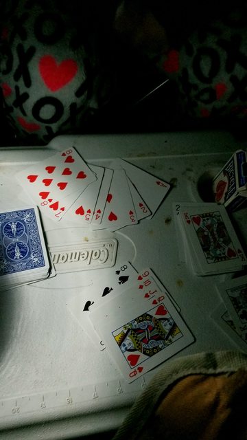
We played many hands of a game we thought was gin, or perhaps rummy but was certainly not either. My mom is a tournament gin player and quickly educated me on the game when I told her this story.


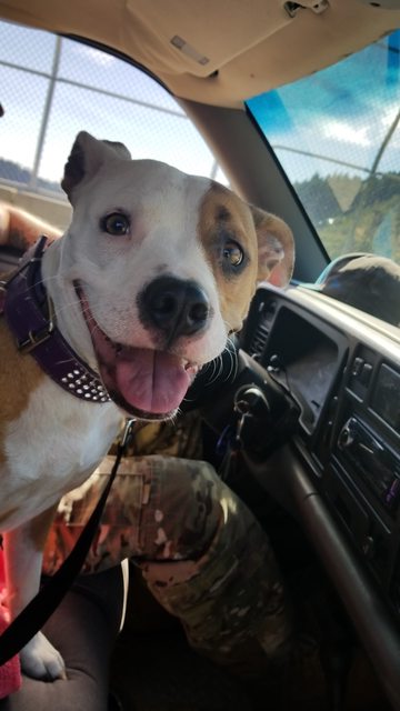
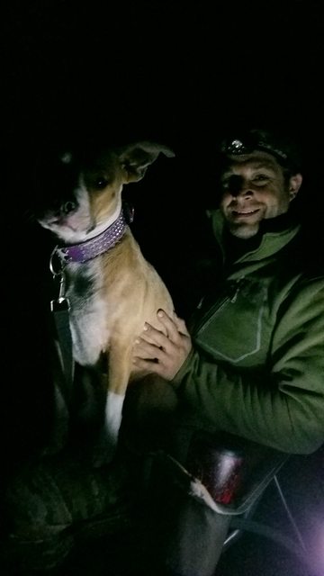
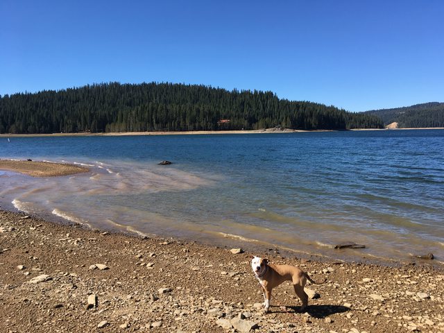
My head of security and 45# lap dog.


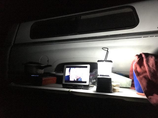
After a few rounds of Idiot Abroad, (a great show) downloaded on Netflix for viewing offline, and a cup of fruit juice and peach hooch, the dinner and the moonshine took their toll and we climbed into the back of the rig for a snooze. Shauna can sleep through anything, so she missed the unannouned music fest that errupted abruptly at 2300hr from the area of the beach about 200 yards to our 2 o'clock. It was more bass than bothersome and I let it relax me. When it stopped, so did I and I took the cue of my beautiful woman and our wonderful dog and I hit the hay. Day one had been a success and as Captain of the ∩OV Serenity I was comfortable deeming it as such. We had planned an expedition and we had completed 80% of the first leg. There were no fatalities and we had no repairs needed. We had excitement and confidence still, and we would need it for the next two portions of our journey into the Plumas National Forest Backcountry Discovery Trail.


And finally!!! The report for day 1 of our exploration of the Plumas BDT was complete! We were in great spirits and excited to start the next stage of our journey. Sorry I had to take this long to post this all, I really do it for the entertainment of the masses, so I hope you have enjoyed so far and stick around for the next two legs!
 

Ashton

Rank IV

Pathfinder I

1,212
Near the Rubicon
First Name
Hari
Last Name
See Above
Hope this brings some enjoyment to folks. One of my favorite pass times is to read trip reports so I produce material I can read later and relive my adventures. Hopefully this sparks some interest in folks too, a super simple yet challenging and engaging adventure through back country that is spectacular. An easy long weekend for people in the area and a nice alternative to the high Sierra.

I have 2 more days of the trip to post and I will, but I like putting it out there over time to give people an excuse to come to the forums and some small entertainment in their day.
 

Ashton

Rank IV

Pathfinder I

1,212
Near the Rubicon
First Name
Hari
Last Name
See Above
Day 2!
We woke up in a mooring in the Tooms RV parking lot at Little Grass Valley Lake. We had seen no one else parked out when we arrived last night and aside from the hosts of the Latin music concert last night, we didn't see anyone else here until we walked down to the lake to check it out. The season is late out here, nights get toe numbing cold and the less adventurous are home in their warmth and their comforts.

Indica awoke, as she often does on camping trips, anxious and excited to explore. The poor Roo spends hours at her station on the bridge every day and that can't be as enjoyable for her as it is for us humans.


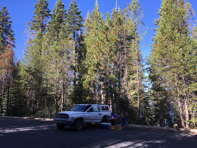
The Serenity in her berth. We had a broken view of the lake through the trees, with shore being approx. 200 yards away. We were alone here until mid morning when a couple of people showed up to fish at the lake. There were clean toilets at this outpost.


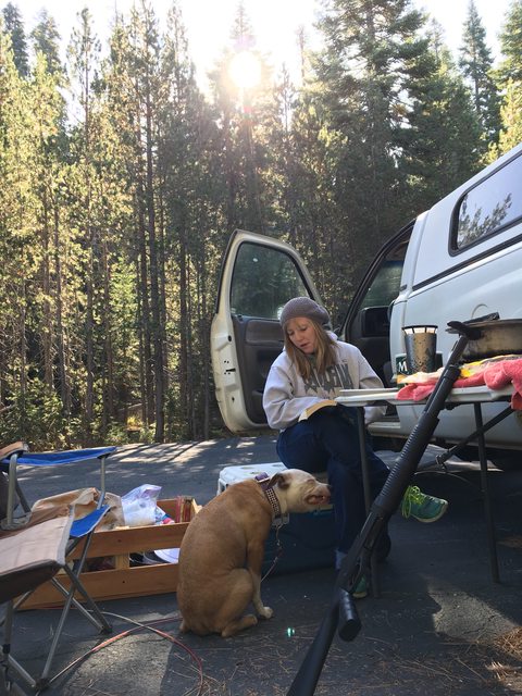
Indica loves to help momma with her breakfast. I can't remember what it was she was eating here, but Indica is clearly having second thoughts. Or trying to work the logistics of a large, hot piece of breakfast burrito moving through her mouth and into her stomach expediently so as to not burn her tongue. Please excuse the gratuitous shot of my gun all out in the open.


After finishing our morning ration of coffee and backpackers breakfast burritos (a 2 serving pack of mountain house egg scramble in a tortilla), we strolled down to the lake to give it a looksie before we began the ignition protocol on the rig. We had adventure on the mind, so we didn't linger long.


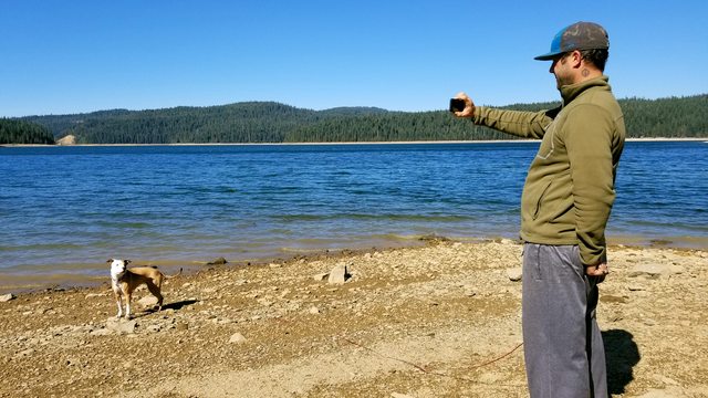
Shauna (my co pilot, master of coin and all around bad ***) likes taking pictures of me taking pictures... a 'behind the scenes' if you will.


... and the picture I was attempting.


After a brief wander around the wonder of Little Grass Valley Lake, we headed back to the vehicle and packed up our supplies. I'm really over this wonderful chuckbox I made out of pallets. I had a great experience and the box itself is pretty nice and sturdy, but it is a real pain to maneuver and is a workout to get in and out of the rig. I have already purchased a replacement box for it.

We did our requisite checks and fired up the sub-warp hydrocarbon drive and pointed the Serenity towards the road that would lead us on to the next destination on our expedition of the Plumas National Forest Backcountry Discovery Trail!
 

Ashton

Rank IV

Pathfinder I

1,212
Near the Rubicon
First Name
Hari
Last Name
See Above
We took to the maps of the AO and found the route that would take us to the next step in this adventure. In this case we would weave out of the campground and back on to La Porte Rd (120), which would then lead us into 511. Our paper map ($20 well spent at the La Porte General Store) showed it as a seamless transition and so off we went. Once coordinates had been laid and engaged, we began consulting the PDF available in post 1. Since we did not start at the OHV staging area outside of La Porte, which is where the mileage and such calculations they give are recorded from, our numbers were going to be off for the day (or so we thought!). When you start from there, as directed, you will end up turning right onto the La Porte - Quincy Rd (I believe is 511) and follow it for about 5 miles before you come across the turn to Gibsonville on the right.


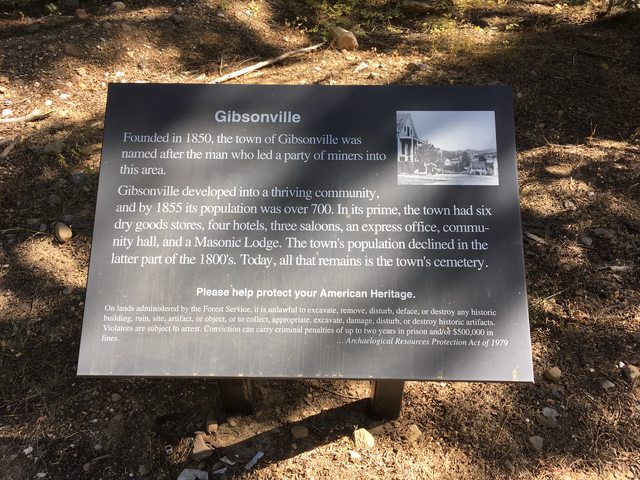
We would turn right at Gibsonville (you will also see the signs for Pilot Lake as well), another historical town named after one of the thousands who flocked here to find their fortune. The story goes that a group of men (a company of prospectors) were followed to the area by another group of men under the leadership of a man named Gibson. When confronted, they refused to turn around and camps were made and the two groups began mining the area for their Au. That place was called Sears' Diggings. Gibson was apparently a lucky fellow and struck rich on a ridge over looking Little Slate Creek, the ridge where the ruins of Gibsonville stand now. The town stayed busy until the 1870's and was a temporary home to the persons, or people, who started Howland Flat, Poker flat, St. Louis and other mining communities in the area (and on this part of the trail).

Informational page: Historic Spots in California: 5th Ed.Google Books

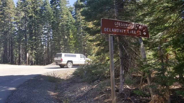
The sign can be hard to see. Also look for road 900, or Pilot Lake.


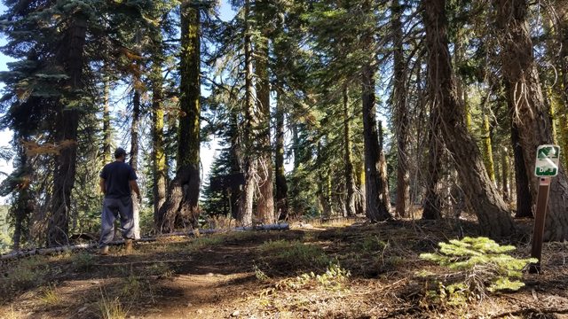
You will see these markers, on the right, throughout the two stages of this trail. They are small, and not often clearly visible. They will point the way traveler, accurately. Trust their guidance.


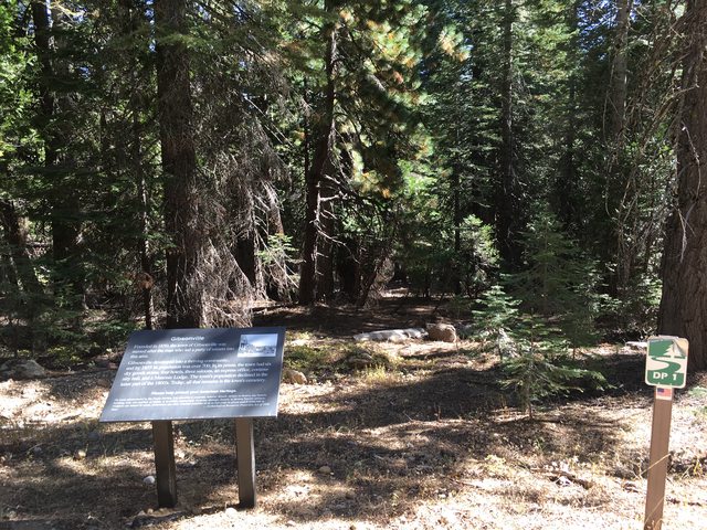
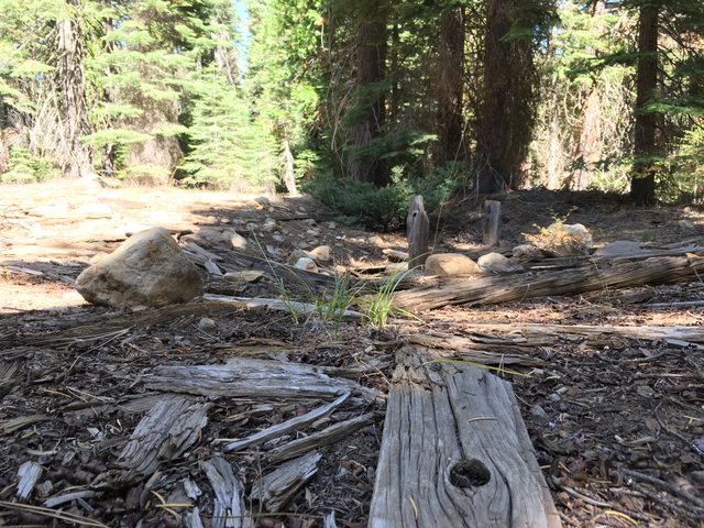
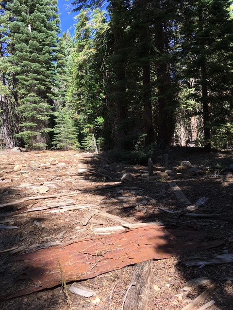
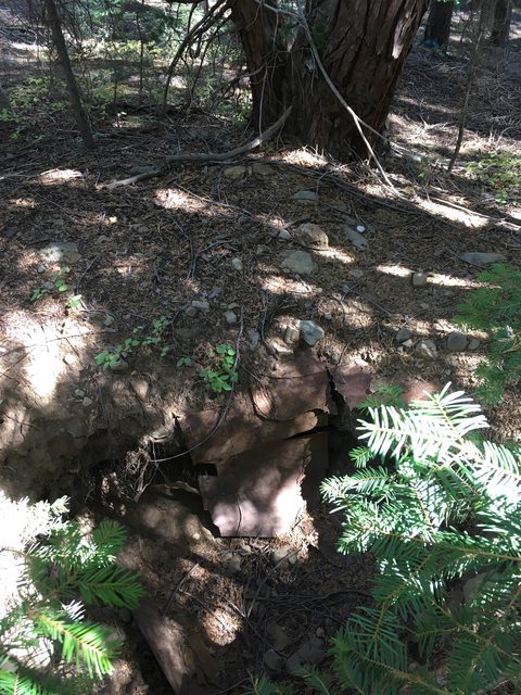
The Ruins of Gibsonville. These pictures are taken around the marker. The cemetery is up the paved road another .25 miles and on the opposite side of the road.


We have pictures of the cemetery as well, we ended up hiking up there once we pinpointed its location. That didn't happen until a few miles into todays journey were a happening took place. More to come, stay tuned!!
 

Ashton

Rank IV

Pathfinder I

1,212
Near the Rubicon
First Name
Hari
Last Name
See Above
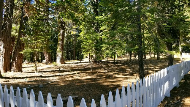
Gibsonville must have been a substantial scene at some point in its history. The cemetery here his big, judging by the Howland Flat cemetery we saw (though, now that I think about it there are 3 cemeteries there and I didn't explore two of them). The location of this place is slightly up the paved hill, about a fifth of a mile or so, and on the opposite side of the road (west side), about 150 yards off the pavement. Once you hit the dirt, you can follow it around the curve to the front of the cemetery, or you can trek overland once you see the fence to your noon/one o'clock. This place was under some remodeling and is obviously taken care of.

The turn off from the main road looks like this, you enter the scene from the bottom of the picture.


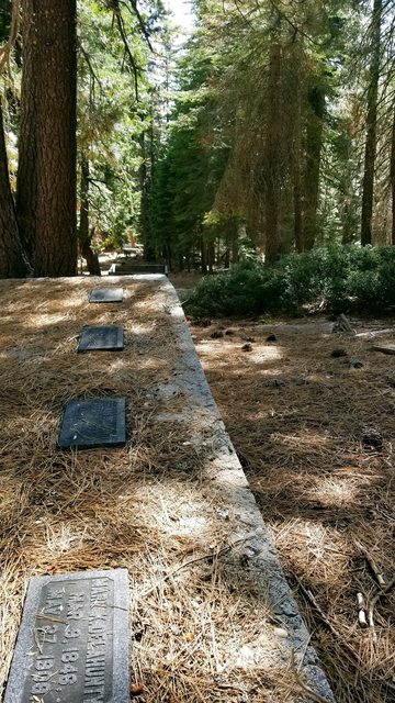
People from long ago are resting here. Some marked, some not. Wandering through the headstones I couldn't help but wonder and imagine what life was like for these people. Who they were, how their personalities flourished or failed on this landscape and what their dreams and hopes may have been. A record of a memory is what I take a headstone to be, and the selection in this graveyard left me with hours of wandering thoughts.


Big cemetery. Clean cemetery. The remodeling didn't have a claimant, so I can't tell you which historical society or family group is doing this. Someone cares enough and I'm fascinated by old stuff, so pictures of graves it is. I'll be honest, we didn't stop here on our first time through Gibsonville. As you know by now, we passed Gibsonville once (and took the pictures posted above), then decided we didn't like our fuel status so we tailed it back to La Porte to remedy that. On the way back out we stopped for a lunch break at Gibsonville and then decided to hike up the hill to the cemetery (where we took these pictures).
 

Ashton

Rank IV

Pathfinder I

1,212
Near the Rubicon
First Name
Hari
Last Name
See Above
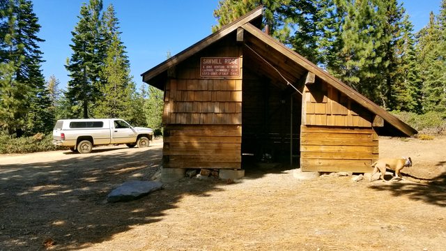
Our navigator whipped out the Plumas NF BDT PDF ASAP and we were able to determine coordinates to the next stop on the trail. The Sawmill Ridge warming hut is just that - a hut, with a stove to keep you warm. This was a new phenomenon to me, as I haven't seen these in my local area and New Mexico has no need for snowmobile warming huts. A heading was plotted, a course was set and a speed was engaged. The ∩OV Serenity meandered along road 900 towards its programmed destination.

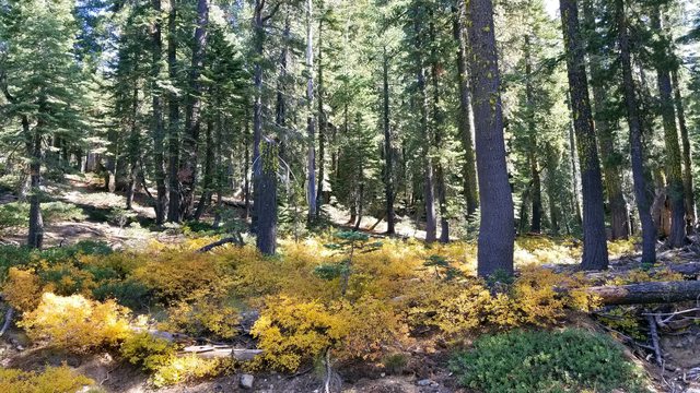
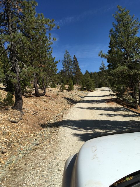
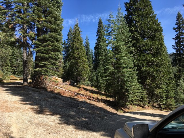
The journey took us through areas dominated by evergreen pines and firs. Manzanita was abundant and some of the leaves were turning. Mixed with the occasional maple reds and aspen yellows, there was a neat smattering of color on an somewhat monotone landscape. I'm not sure what these are exactly, but an example.


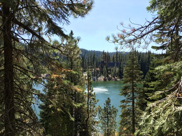
Just up the road from Gibsonville is the Delahunty Lake and an interesting building. I assume this is privately owned.


On up the road from there we arrived at Whiskey Diggings. The PDF calls this 'remains of hydraulic mining site' and our paper map didn't list this at all. The Whiskey Creek is noted on the maps and one can find history of it in a Googleometer search. This was one of the main mining sites of the Gibsonville crowd. I intentionally leave out lots of historical tidbits, because I had fun learning this stuff and I wouldn't want to cheapen your life experiences.


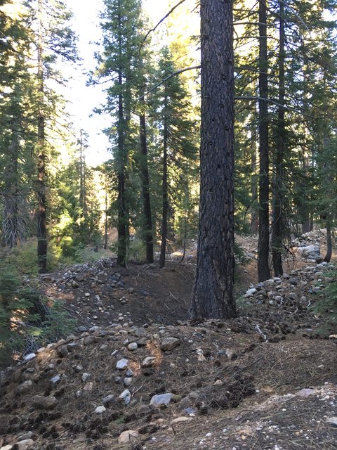
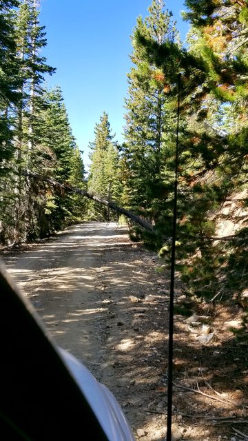
Along the road we saw some of this. Trees across the road became a theme, some blocked the way to varying degrees and some had been cleared of debris. Some overhanging ones were left, and we only came close to clearance on a few of them. The road went from closed in forest to open expanses that looked like fields of mine tailings. I was in awe of the scale, and I spent many passing miles in thought of what the mining operations must have been like in this area in 1850's and 60's. In my local area we have Malakoff Diggings, which can be easily viewed on Google Earth and covers a great expanse. The history of the gold country interests me greatly.


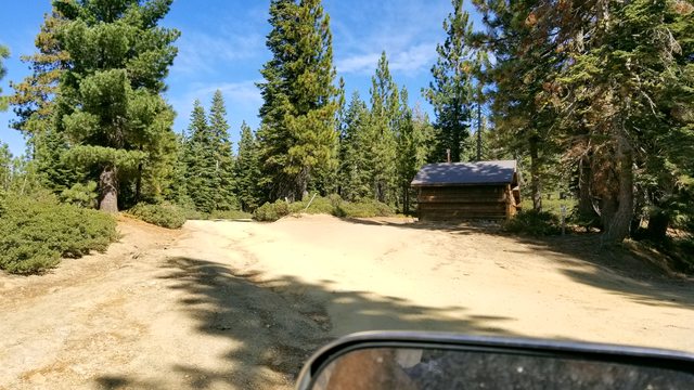
On our PDF, it tells you to bear left at the 8.8 mile mark but this road was blocked off on our route. The way to the right was open and clear and if you look to your right when at this cross road you will noticed the markers I mention earlier. Trust the markers oh weary traveler. A bit farther on and you will reach the cabin, which marks a major backcountry junction on this route.


Ashton

Rank IV

Pathfinder I

1,212
Near the Rubicon
First Name
Hari
Last Name
See Above
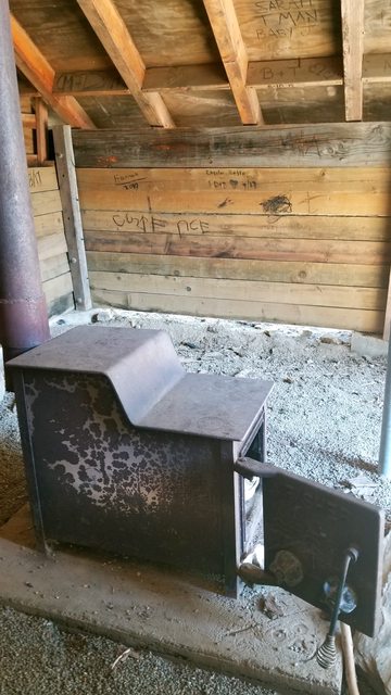
This warming cabin is one of a series of cabins on a maintained snowmobile trail system in the area of La Porte, Little Grass Valley Reservoir and Onion Valley. This cabin is somewhat remote on the trail system and therefore probably important to those seeking it. It was well decorated and had trash and some wood scraps in the stove, ready for use. No door on the structure. I imagined the warmth it provided and the smell of wood burning during the cold wet scent of winter.

A link to the snowmobile trails map, if one is so inclined. There is a snowmobile club based out of La Porte. I meant to take a picture, but did not. - Plumas NF La Porte Area Snowmobile Trails map


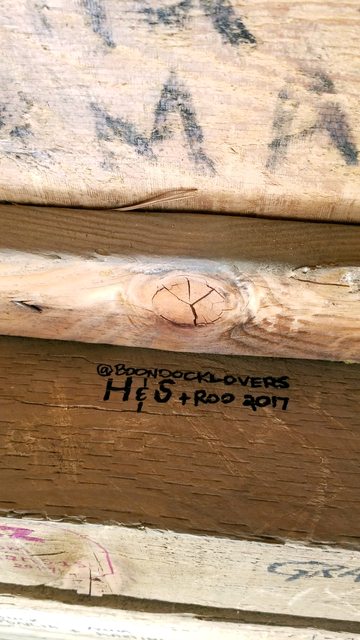
After signing the wall and taking your obligatory photos at the Sawmill Ridge warming cabin, you will hang a left (keeping the cabin on your right) and turn on to 23n10. This will be the road to stay on for the remainder of these two legs. The next coordinates on our PDF had us intersect the Pacific Coast Trail about a mile up the road. This is the famous cross country trail that shares 75 miles or so with the Plumas National Forest. Some day we hope to traverse a good portion of this trail and achieving this map point was a personal goal of ours. The Bunker Hill Range provides a north/south route for the PCT to follow and road 23n10 intersects the trail, heading east west. The "∩" in ∩northodox is the math symbol for intersect, which is apropos to overlanding as well.

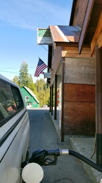
It was at this point that we looked down at the fuel gauge on the Serenity and notice we did not like the resting level. I have a bit of a temperamental gauge as it is, and depending on the pitch and yaw of the vessel it may read a difference of a half a tank of decayed carbon atoms. Not trusting the gauge and not knowing the road in front of us, we opted to head back to La Porte and refuel. The mileage back was fairly insignificant, less than 10 miles to town and then that distance back. As the PDF reads, we should have made the nearly 40 miles of the first two stages in one day. I agree, this could be done with a bit more resolve and planning. We took it at a lackadaisical pace and didn't get out of our berth till near 1100 hours and this turn around happened at near 1330 hours. We resolved to make it to Harrison Flat to camp for the night and finish the second leg tomorrow, after we filled up with gas and supplies. I had forgotten a spatula for our cook box and so the woman didn't get her pancake breakfast. I tried to remedy this by purchasing an $8 paint scrapper at the general store in La Porte. We never ended up using it... so if anyone wants a paint scrapper/pancake flipper, I have one at a screaming deal.


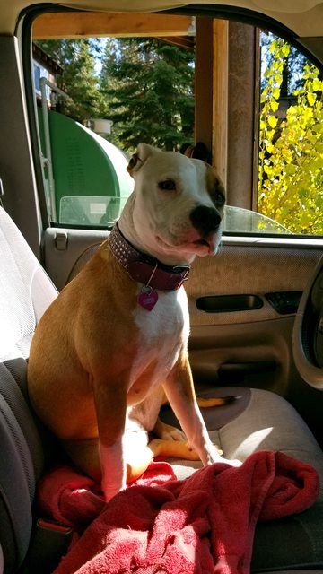
Indica says "I would have filled the fuel tanks BEFORE we left for the middle of nowhere, but what do I know, I'm just a dog".


If you need a tow locally, best to know a local tow guy. I tried to ask some locals what the emergency CB channel was and got a "it's just there for the looks", so all the help you can get out here...


Fueled and stocked, we shoved off and made up the miles we had covered earlier. We made the stop at the cemetery on the return trip, which added a bit more time to the overall travel of the day. We were not worried, an adventurous attitude and vacation timing removed all stress from the situation. I will be installing my aux lighting before the next adventure, as a side note.
 
  • Like
Reactions: MBroenkow

Ashton

Rank IV

Pathfinder I

1,212
Near the Rubicon
First Name
Hari
Last Name
See Above
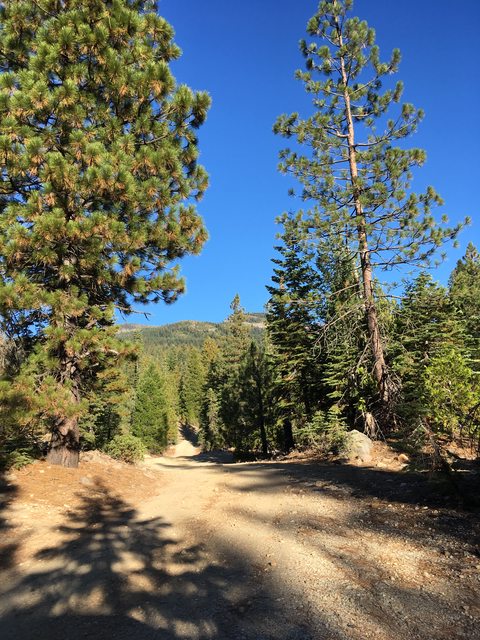
After our return to outpost La Porte for fuel and provisions, we followed the coordinates on our PDF back to the Sawmill Ridge warming hut and back on to the Plumas NF BDT. Once arrived, our next coordinates set us off down 23n10 to intersect the Pacific Coast Trail and we were excited to see it. We will likely use this as a drop point for supplies on our eventual trek across this same trail, some day in the future. There are some beautiful views as you stay on top of the Bunker Hill Range for a stretch. We did run into some confusion between the PDF directions and the road in front of us as roads had been closed off for various reasons since the trail on the PDF was made. The path to follow is pretty obvious though, and you will end up back on track with some basic knowledge of navigation. We had to hang right a time or two (literally) when the directions said to veer left but we ended up right where we intended to be. Remember the markers adventurous traveler, it will be there to guide you way.


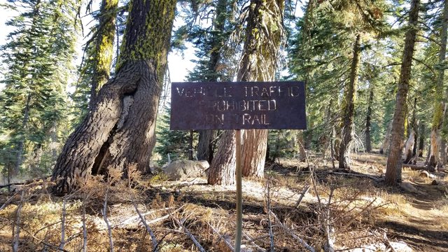
You will pass a couple of these barricaded roads. I couldn't find some of them on the map and the others were identified as short 4x4 trails.


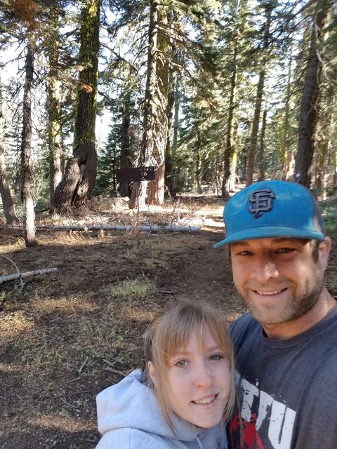
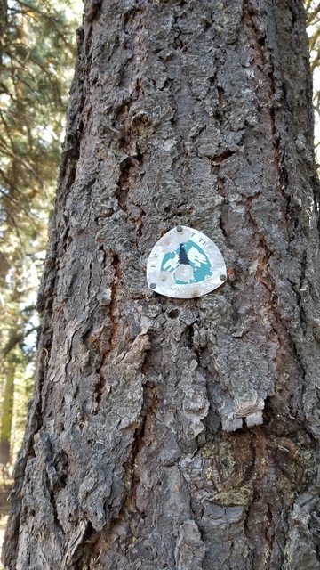
The PCT intersection has a small campsite next to the road and is marked by large metal signs, stating the obvious. I was excited to look down the trail and watch it disappear into the distance. Were did that go? What was beyond the bend, and the next? How would my eyes be dazzled by the things I would see to the south... or to the north? As I train more and more for endurance events and Spartan races, I can't wait to take on this challenge in life.


Roo was anxious in the truck all day. We didn't like to let her out for short picture sessions as it became increasingly hard to get her to 'load up'. She loves to explore and can often be caught skulking off trying to be a ninja. In our neighborhood, it is one thing but out here in the wild it is another thing completely. I will be doing more leading in the truck and allowing them to run the road behind us, once I can train them to do so (we have two puppies now). I don't trust, yet, that they won't run off down the side of the mountain out of pure interest.


After our day dreaming of the future and obligatory picture taking, we verified coordinates of our next destination on our Googleometer (Topo Maps+ app) and pointed the rig in the direction of Harrison Flat and our hopeful camp site for night two on the Backcountry Discovery Route.