PICTURE HEAVY!!!! 56K KILLER!!! (i know that doesn't exist any more)
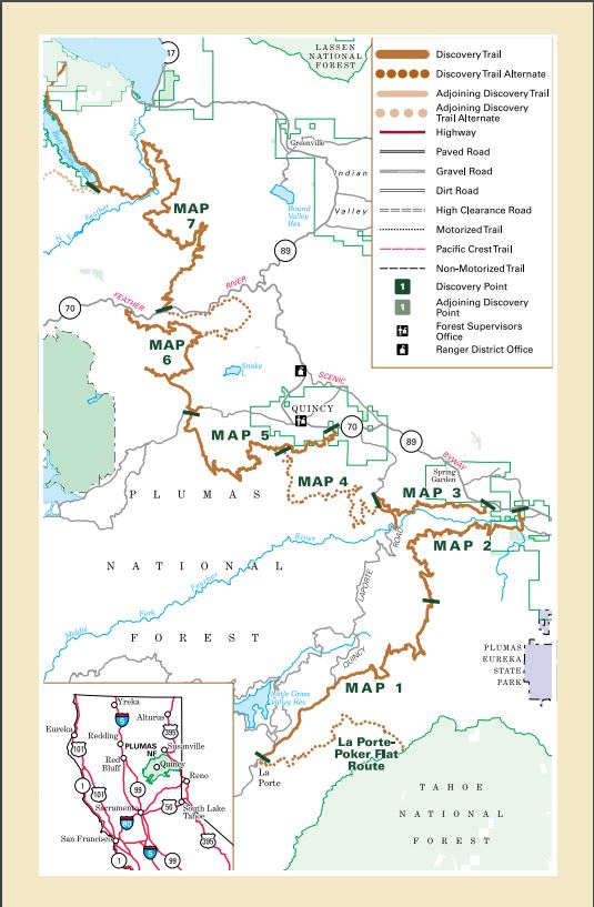
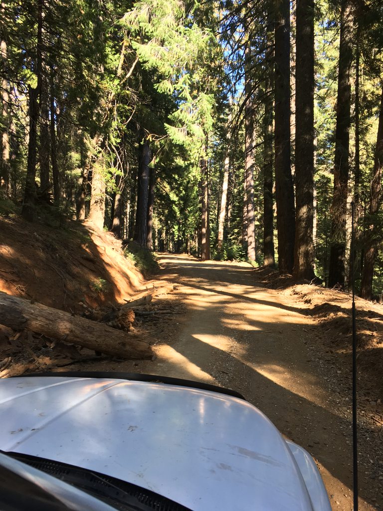
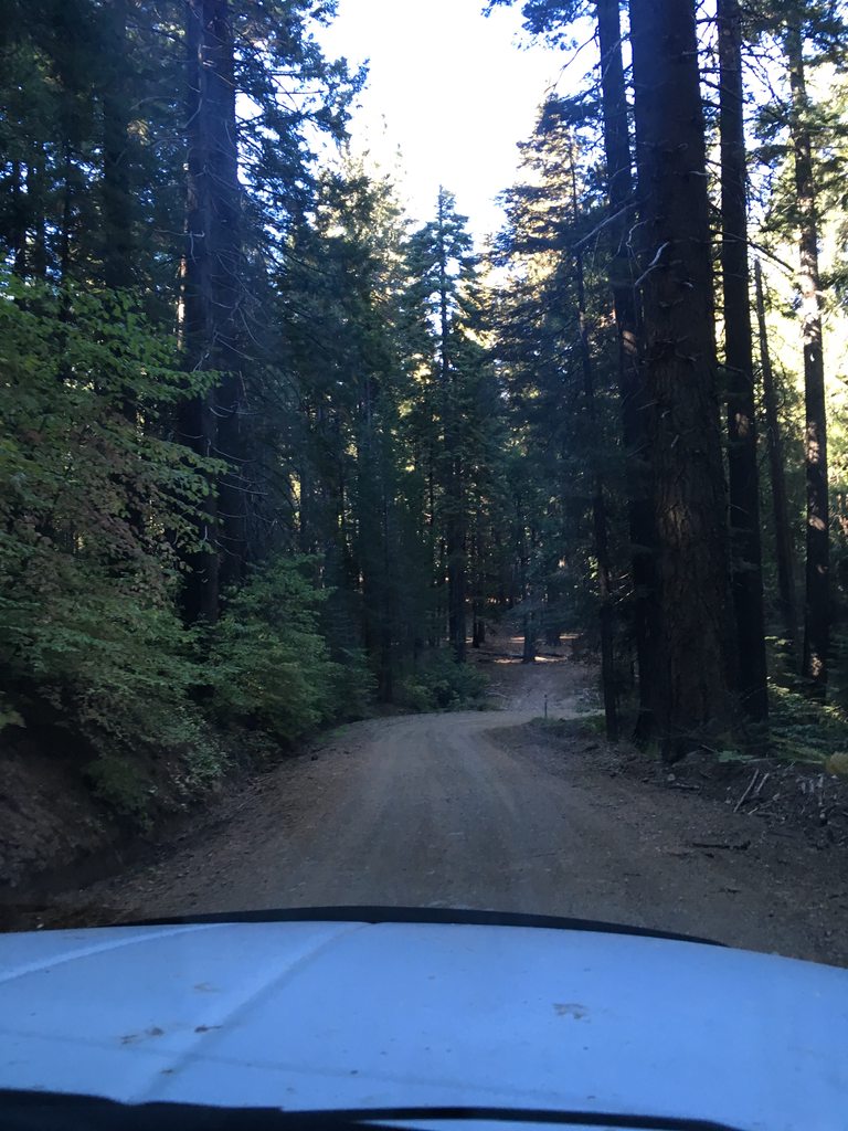
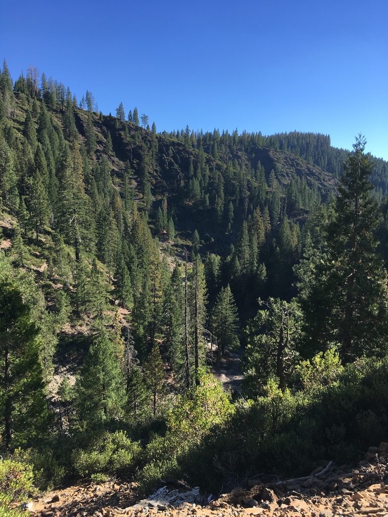
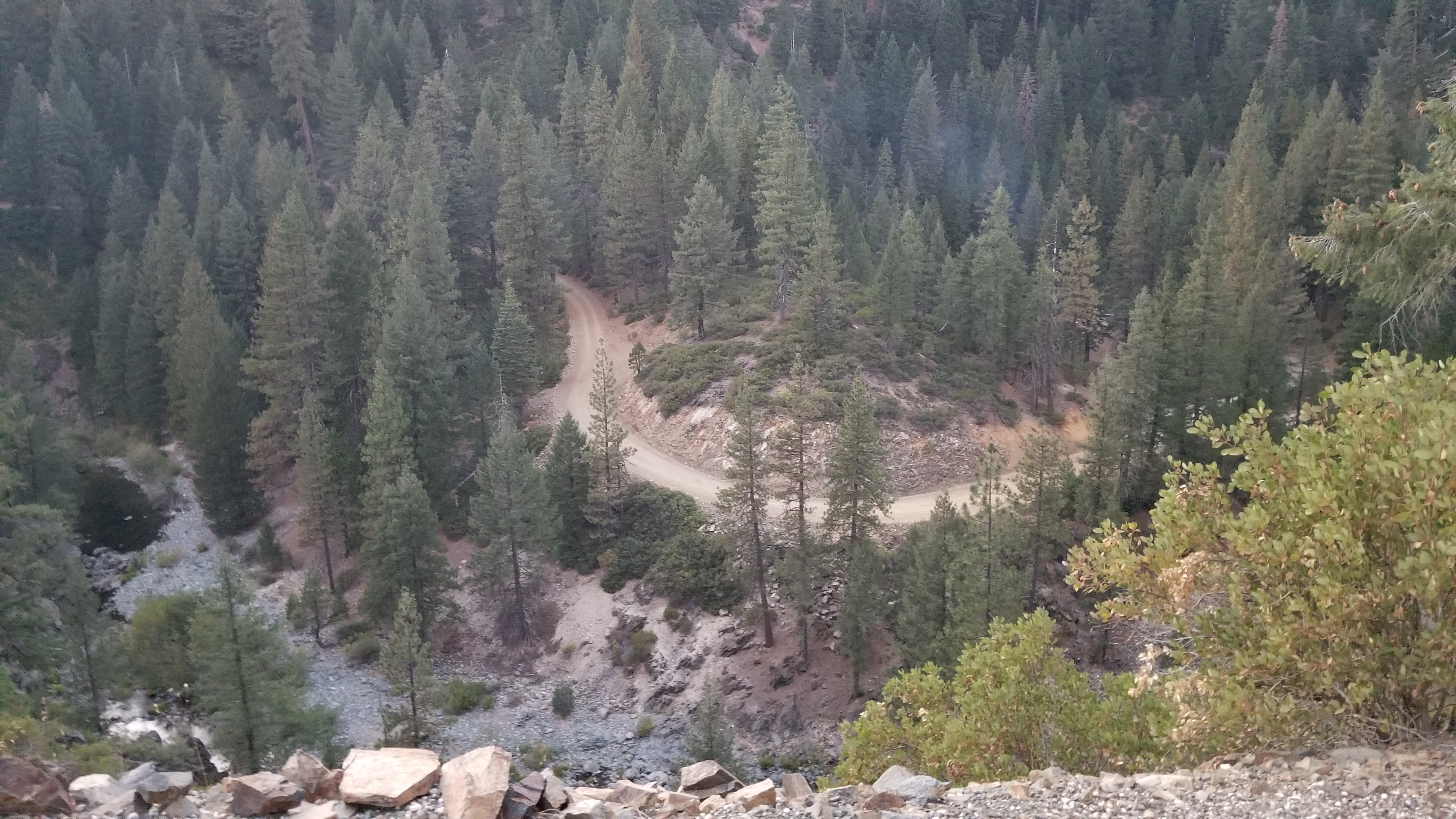
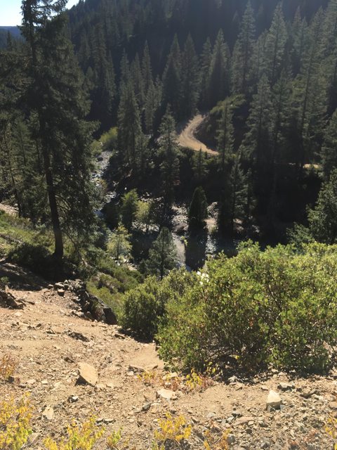
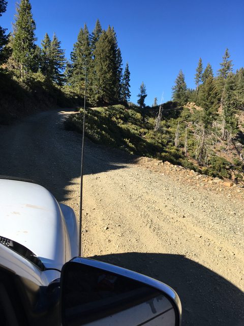
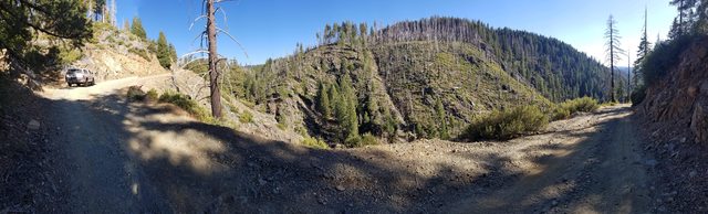
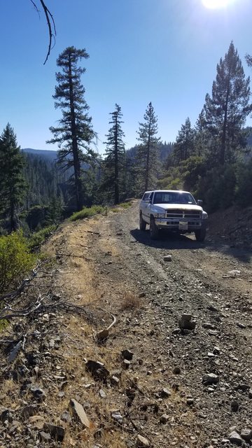
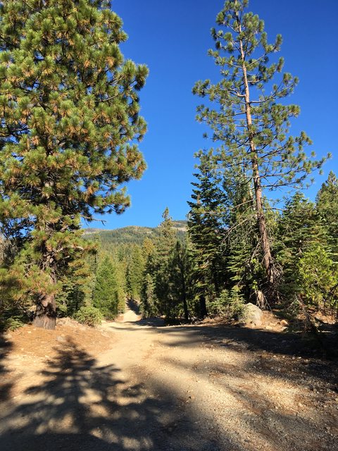
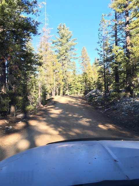
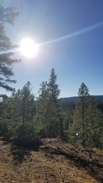
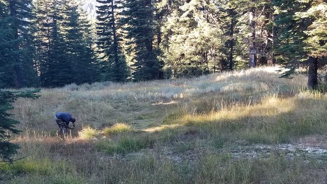
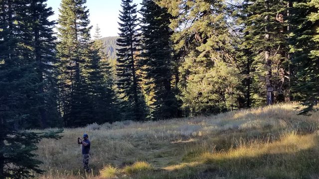
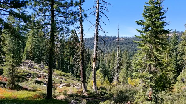
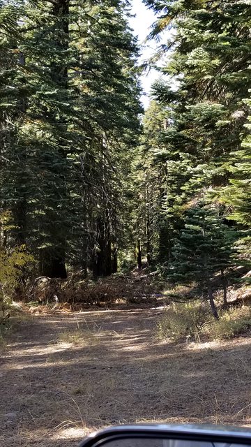
** I originally posted this over a ridiculously long span in October of 2017, over on another forum. I'm pasting the original thread, so it may read a bit off sometimes. It is a toothy read, forewarning. I have tried to include as much pictures as possible and let them do the story telling, so it's long but not wordy **We have been planning a trip through the Plumas Backcountry Discovery Trail for about a year now. Being blessed with a choice schedule at work, the woman and I came upon a three day weekend that we both had off and decided the time was right. We were resolved by our previous day trips that had exposed us to some of the basic skills needed to complete a multi day trip in the back country. We worked our radios, studied lines, developed understanding of threats, learned how to over come obstacles. All of these building our confidence and leading to this day. We get it, this isn't an expedition to Alaska... We aren't doing the TAT or anything like this. The fifty or so miles we covered on the trail and it's side treks and the time we spent planning and executing are worth every single bit of energy it took, and I'll bet the big expeditions say the same when they are done. What some people might cover in one day, we took 3. We meandered and wandered and stopped and saw. We explored and imagined and took it all in, and truly, that is what overlanding is all about.
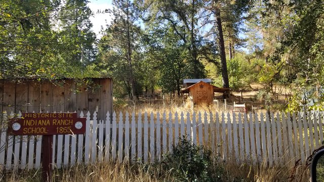
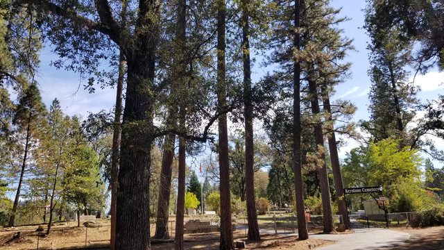
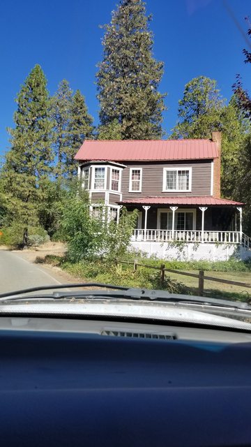
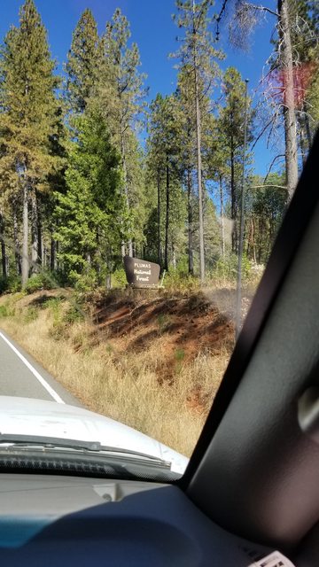
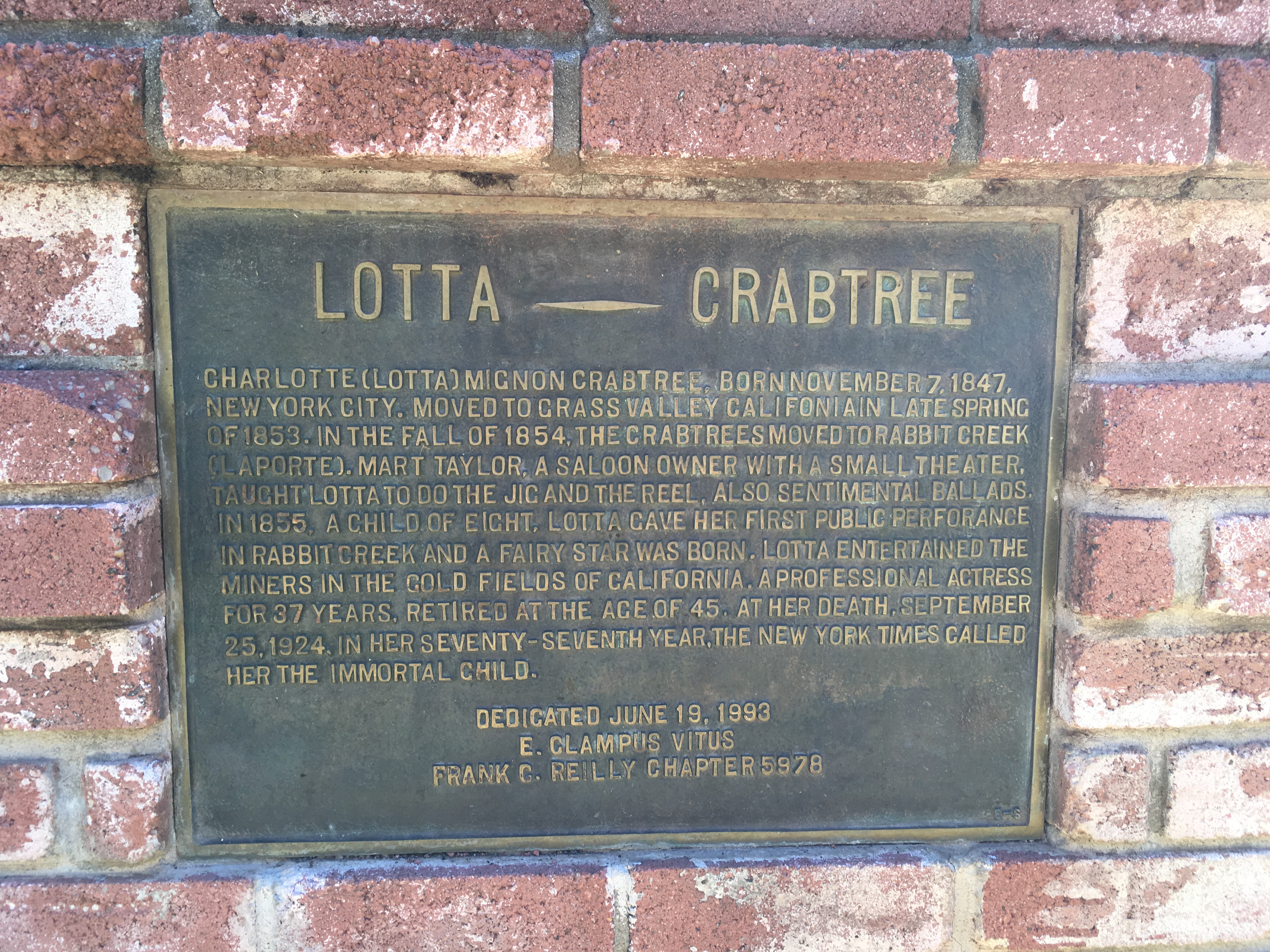
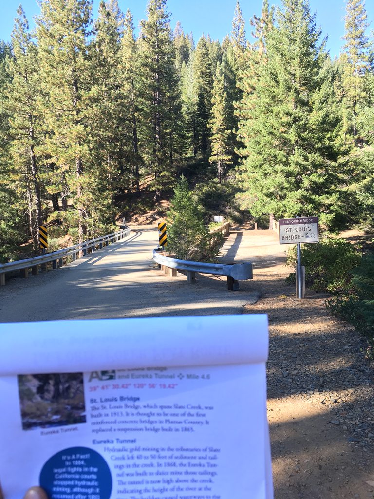
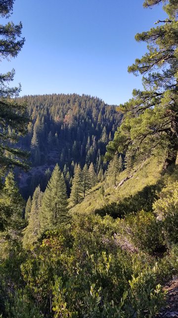
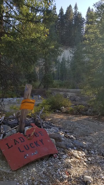
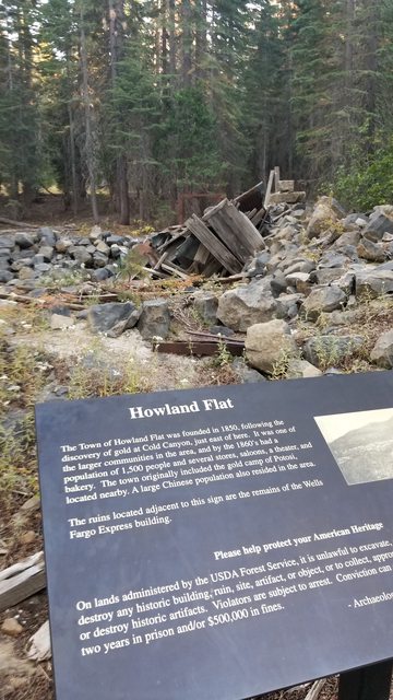
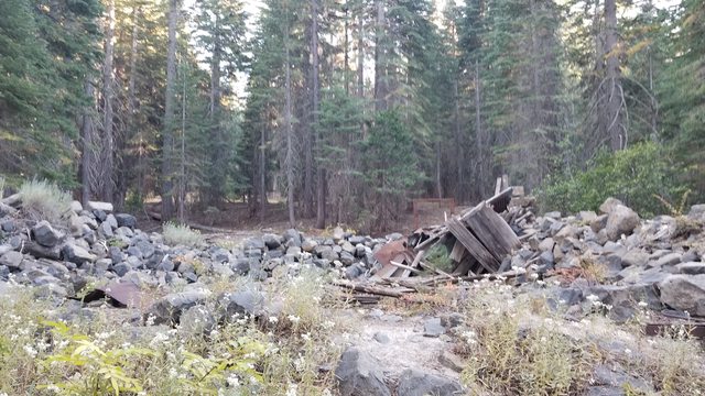
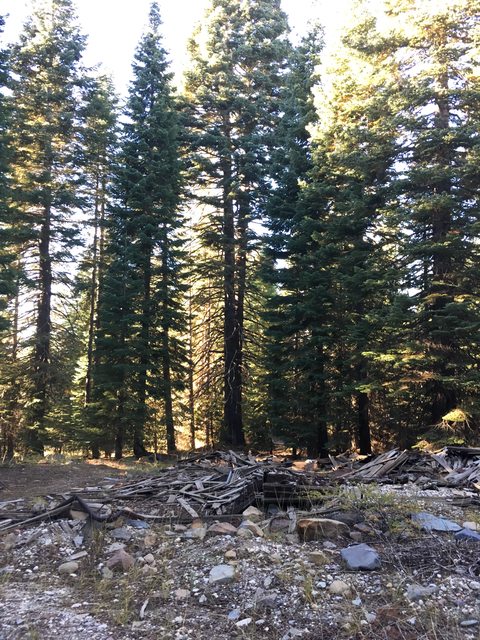
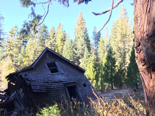
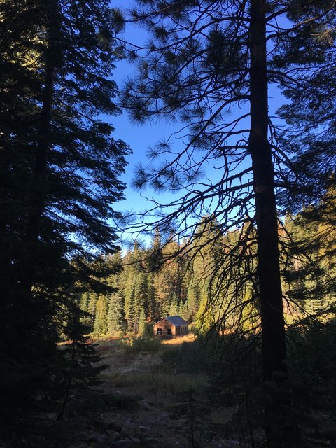
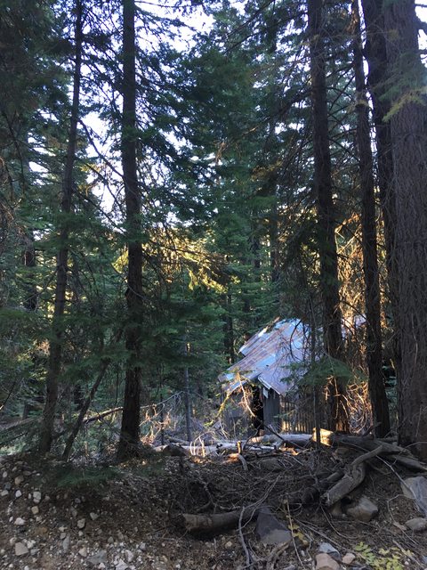
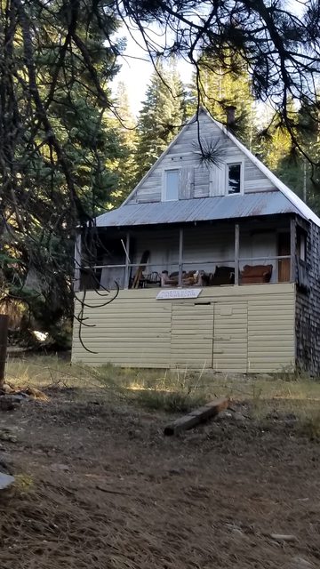
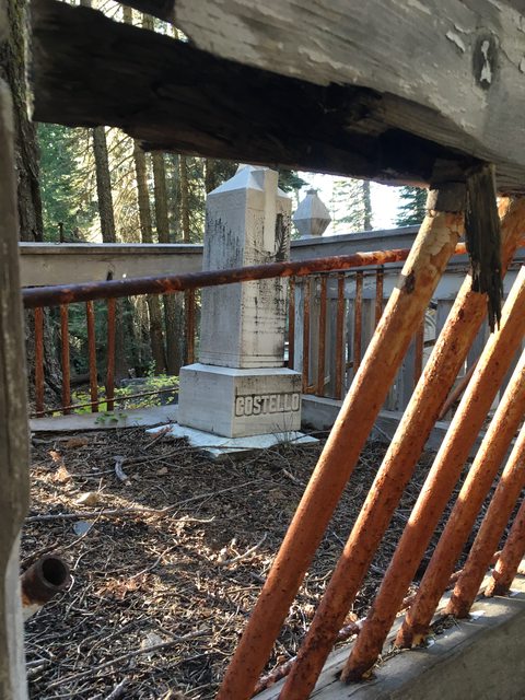
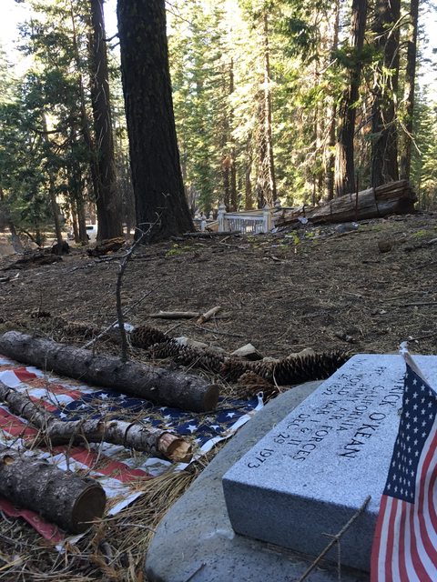
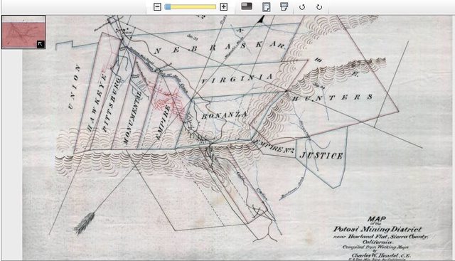
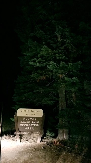
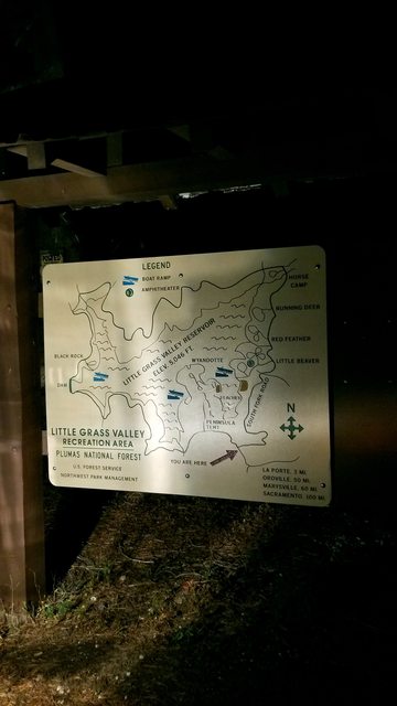
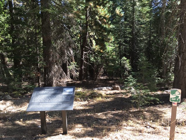
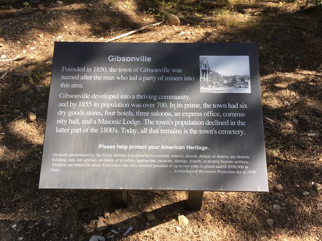
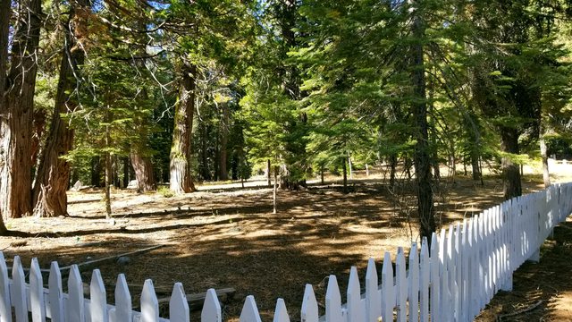
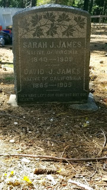
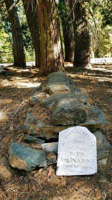
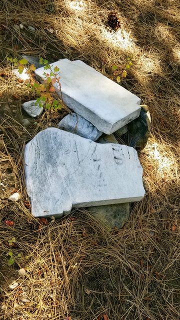
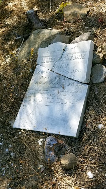
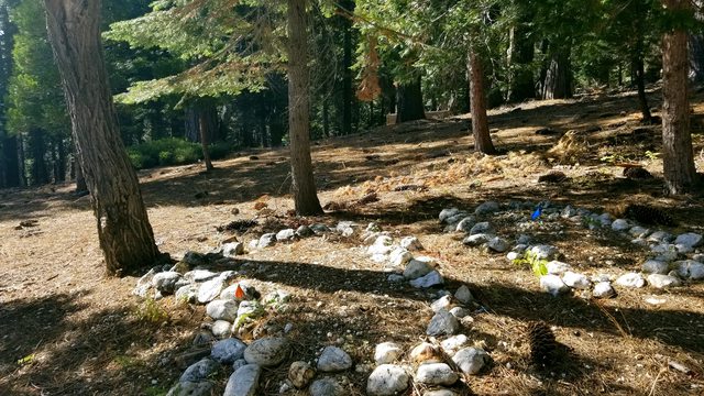
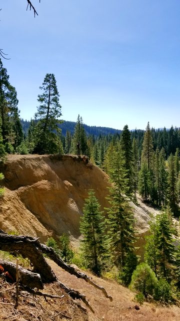
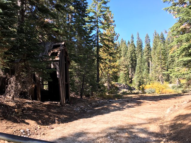
Plumas National Forest is located about 1.5 hours NE of Sacramento, accessible through places like Oroville and Chico. The area has a rich history dating back to prehistory cultures, native American cultures and then the Spaniards, who colonized and built their missions. In the mid 1800's when the gold rush swept the area, miners came in the thousands to find the fabled 'Gold Lake'. The names of those miners live on to this day, with lakes and creeks, towns and peaks all named after those who settled and laid claim to the land. Lest we forget, the Spaniards that came before the miners and crossed a fork of the Feather River, named in 1820 by Captain Luis Arguello. Rio de las Plumas and its tributaries sprung up thousands of claims which brought forth hundreds of settlements, some grand and some diminutive. The vast majority shared the same fate, to be swallowed by time and mother nature. The buildings and byways of these habitations may be mostly lost but the landscape is forever changed by the occupation that brought those miners and built those towns. We hoped to see a history in reality and learn what we could from what we saw.
*I make a note that this journey did not look for, nor discover, any history of the civilizations that existed and flourished in the area before foreign feet touched the soil. I would love to undertake that expedition some day.
Our beginning was here:
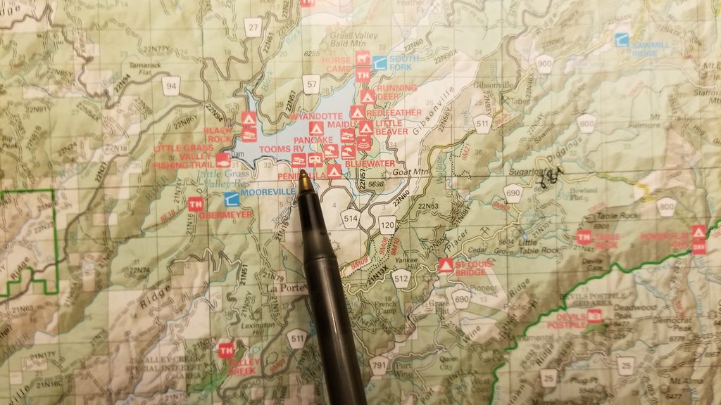
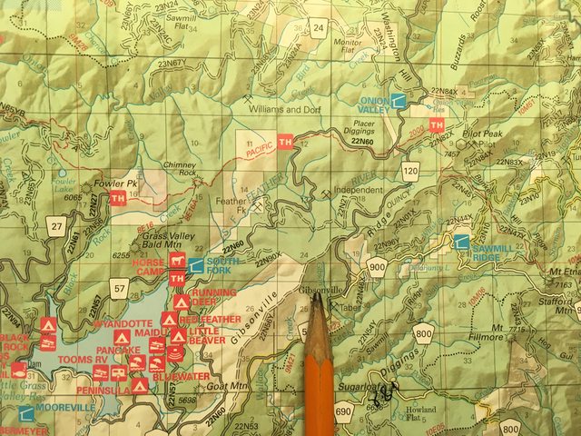
https://www.fs.usda.gov/Internet/FSE_DOCUMENTS/stelprdb5428383.pdf
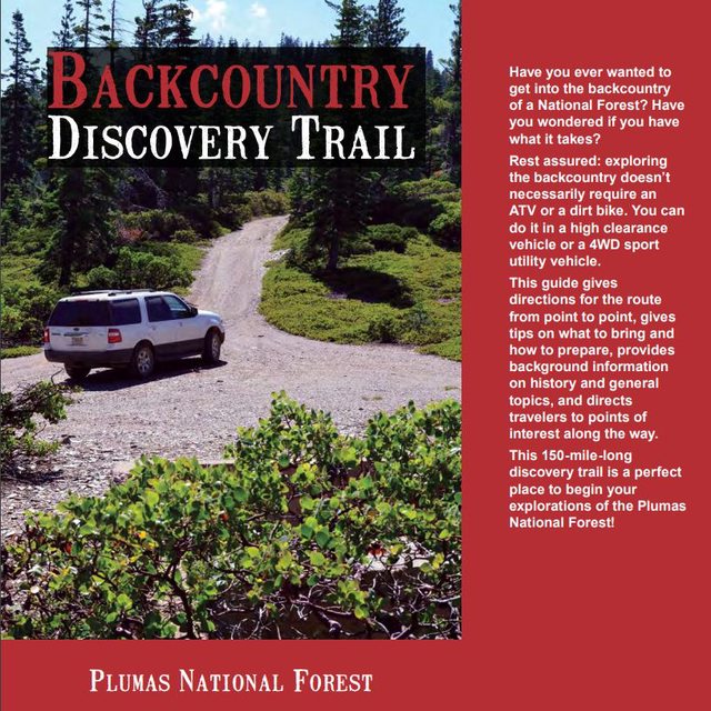
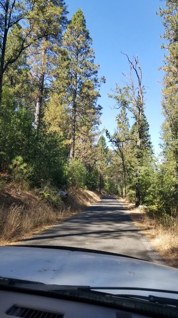
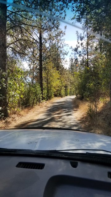
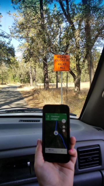
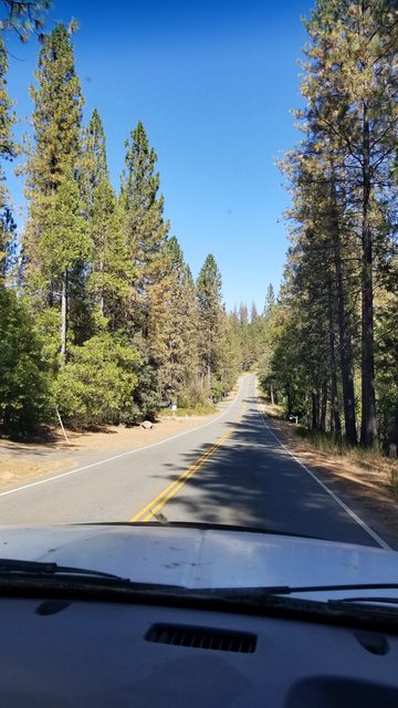
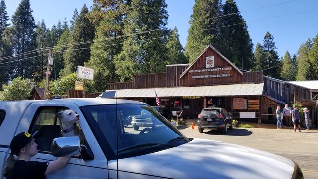
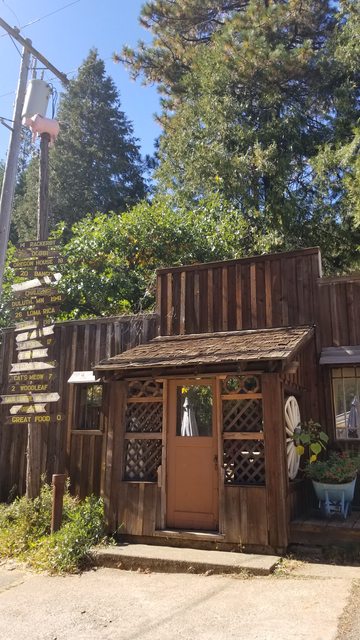
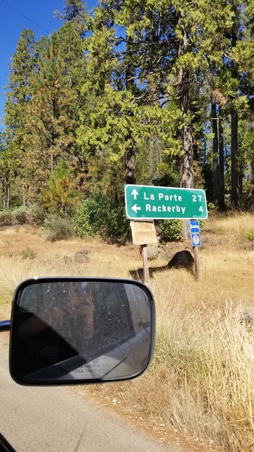
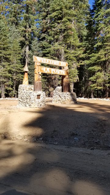
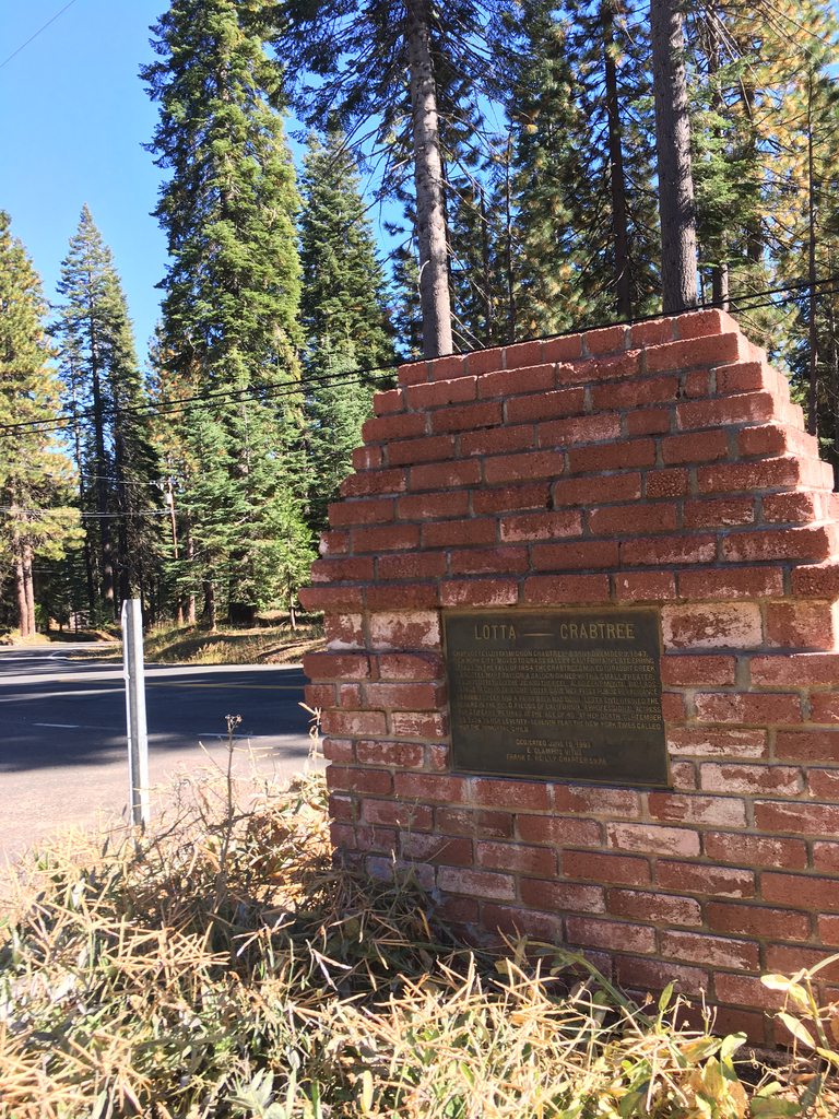
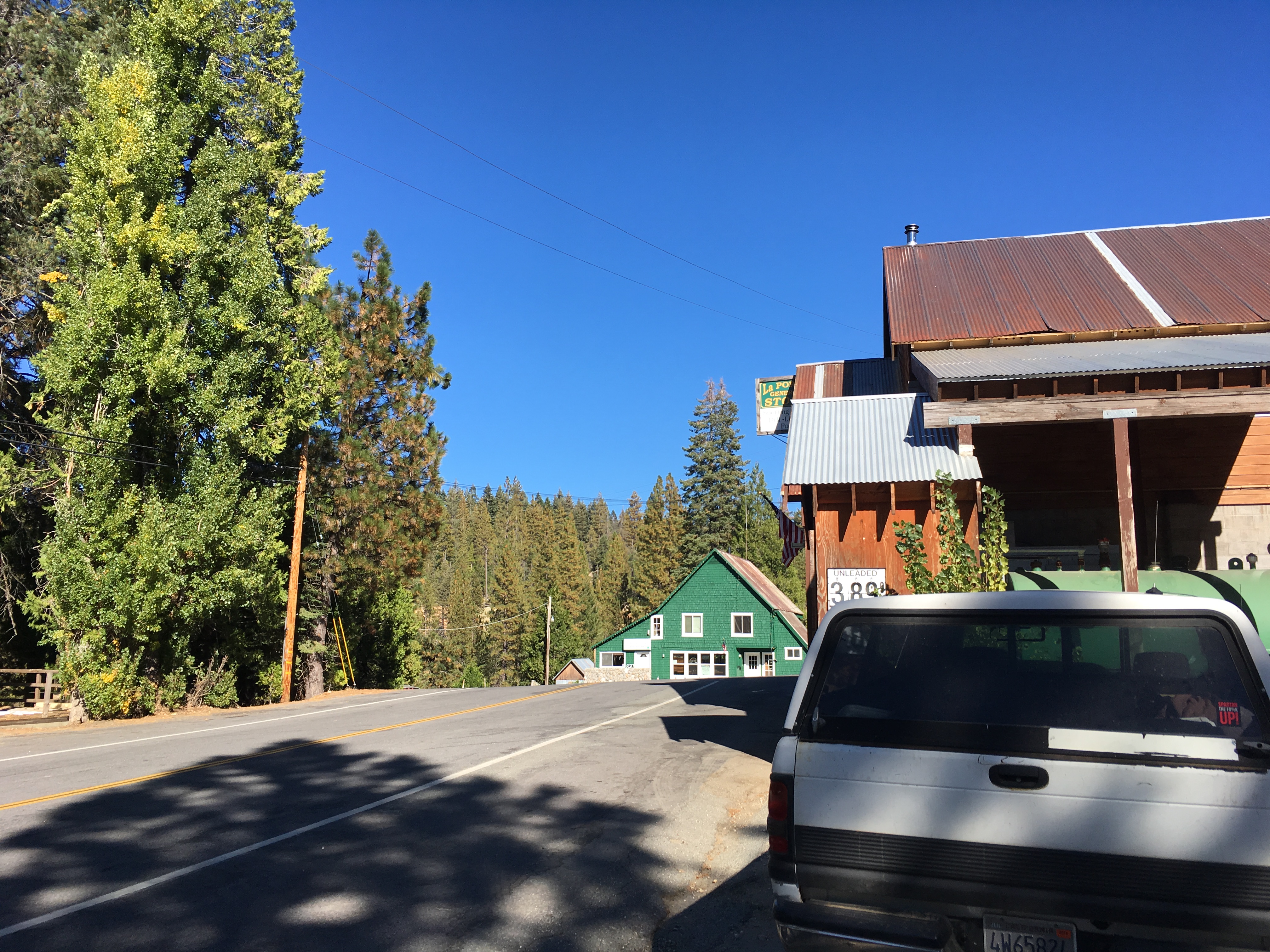
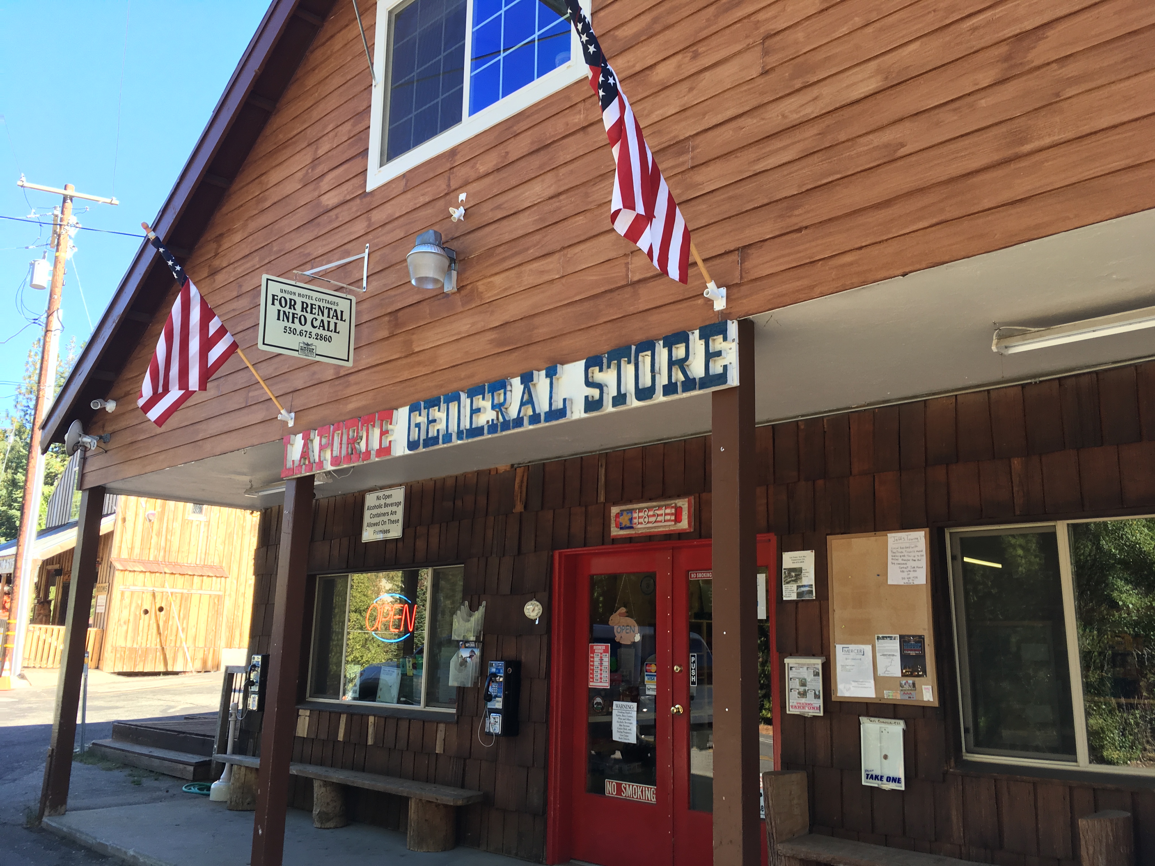
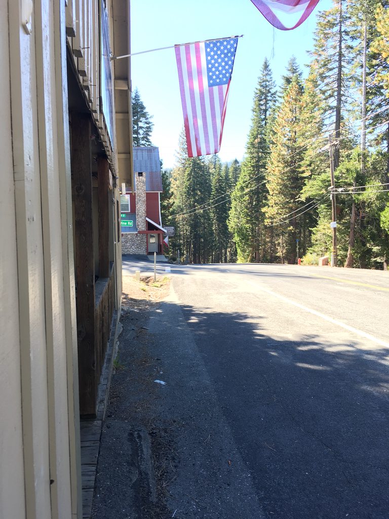
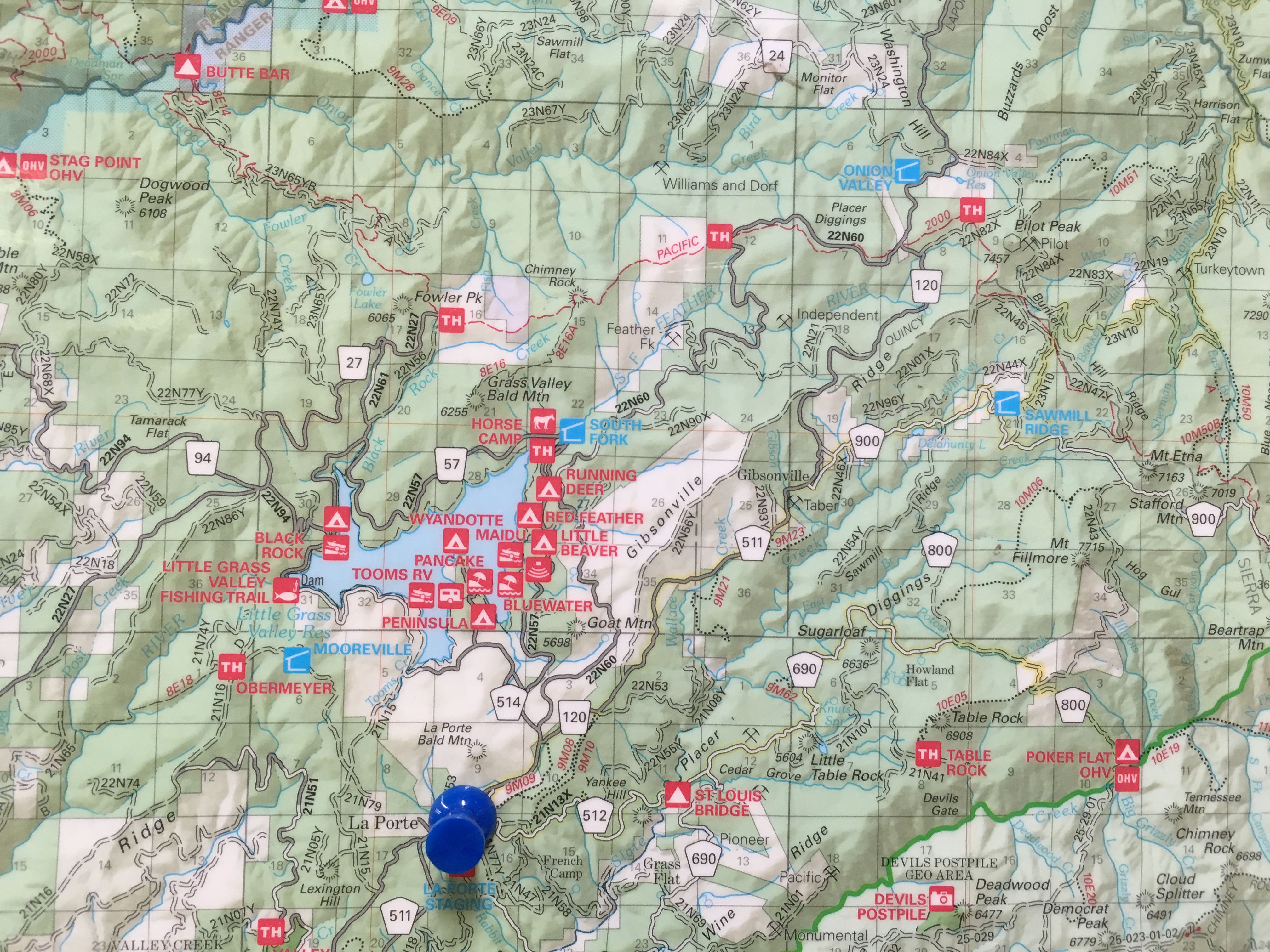
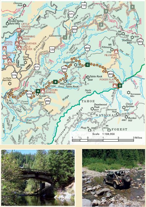
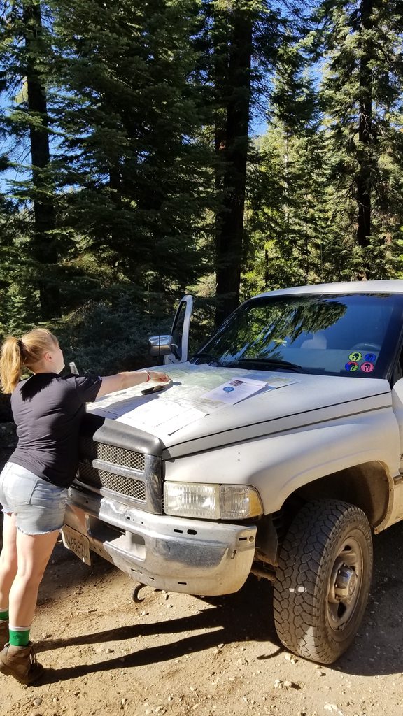
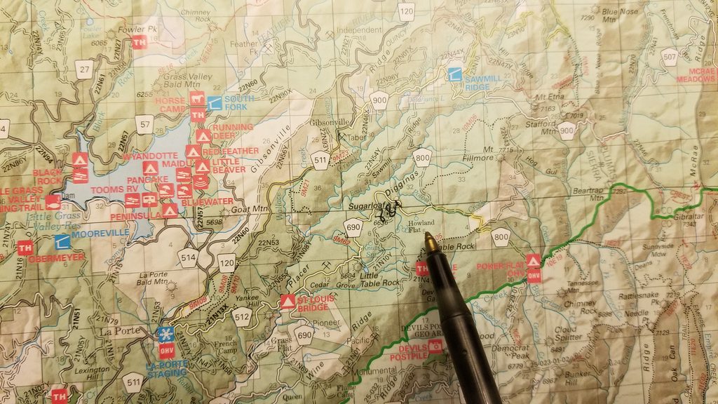
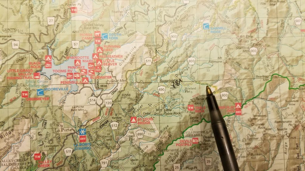
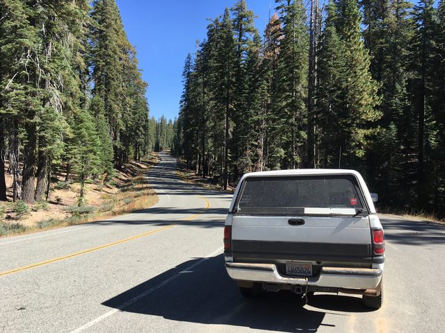
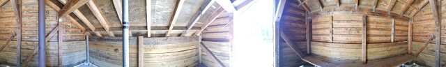
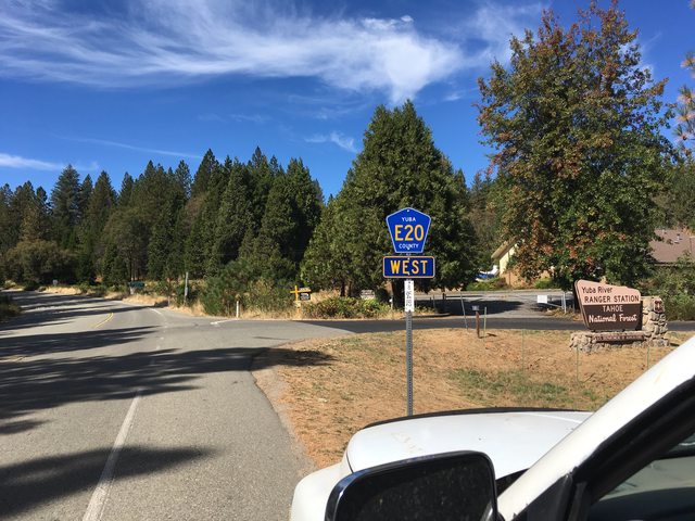
We poured over the pages and found the easiest route on google maps to take us to the start of the trail in La Porte, California. This town of 26 (in 2010) was a boomtown in its heyday, claiming ten thousand residents and potable water piped in through redwoods made into main water lines. From our home port in Grass Valley, CA we followed hwy49 out of town and over the ridges. At some point we took a left, and followed that road till it reaches the southern shore of Bullards Bar Reservior, which dams up a tributary of the Sacramento River and creates a 600+ foot deep lake behind it. At our visit, it was far from that, but still appeared to be a great recreational site. Turning left onto Marysville road the tranquility of the wooded surroundings releases to a stark contrast of the industrial concrete and steel of the high security of the dam, which leads to a right onto Oregon Hill Rd. A few more miles down the road and you take a right on to La Porte Rd, which leads to its name sake.
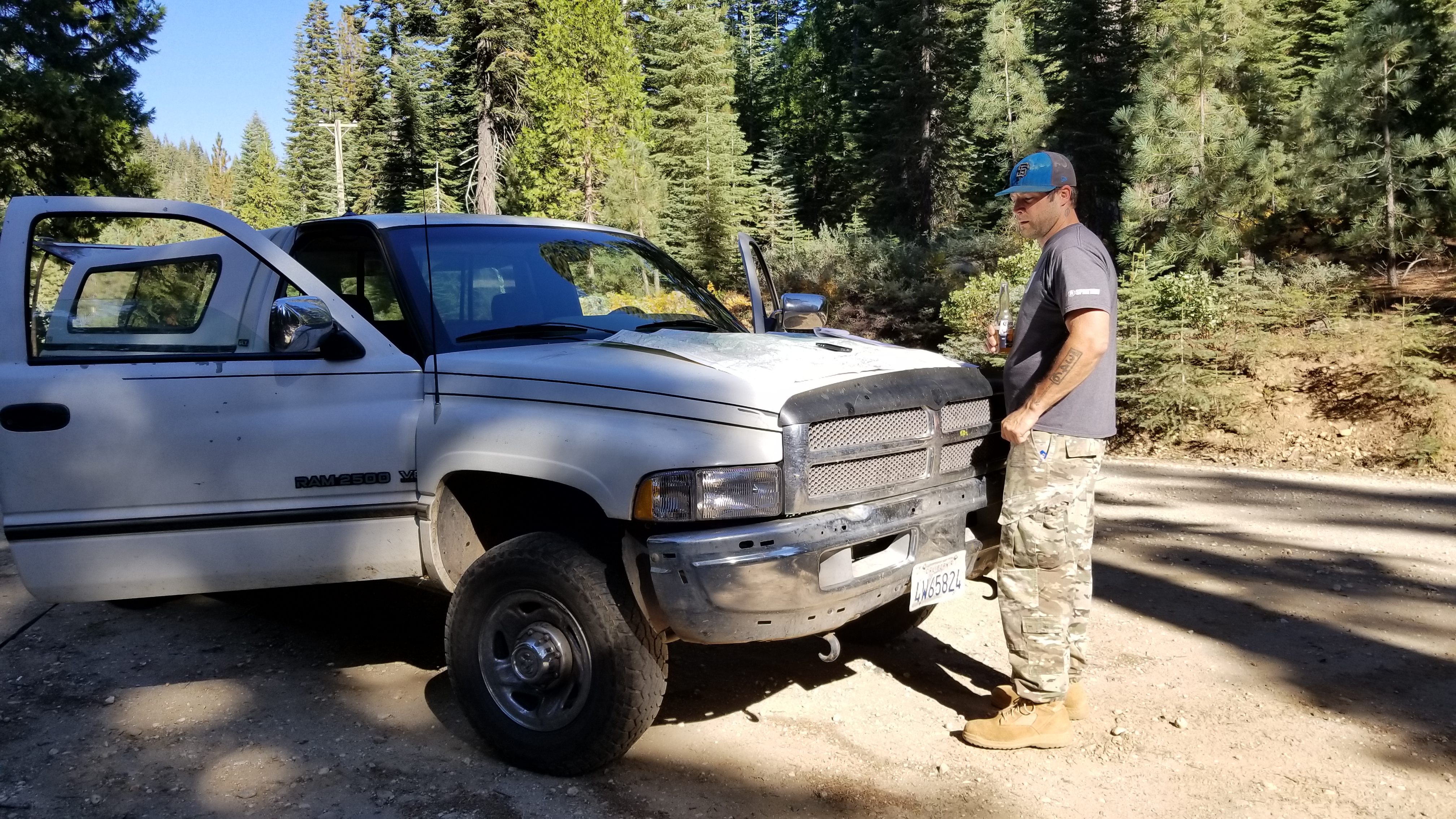
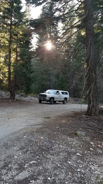
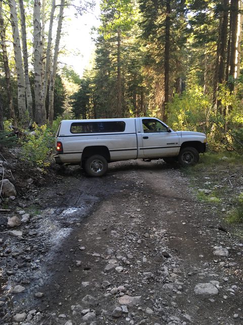
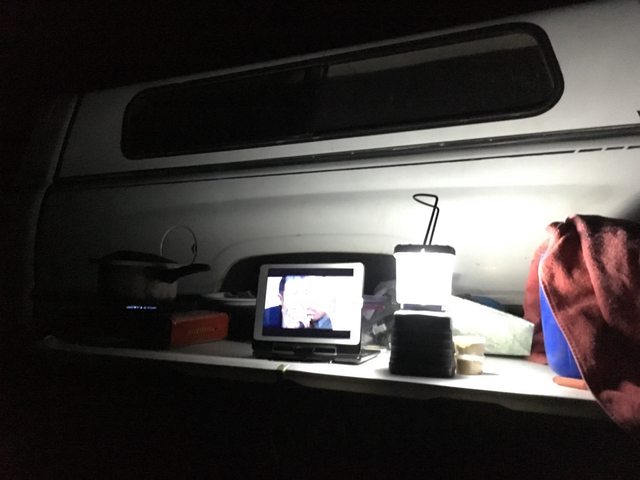
Packing up is such hard work
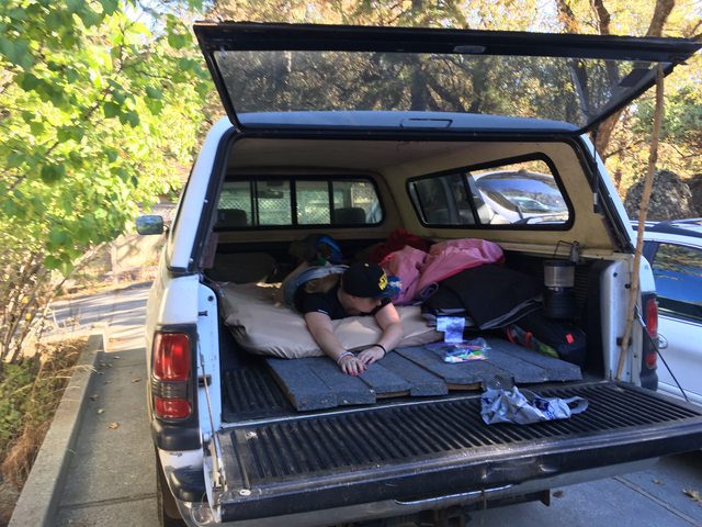
Last minute mustering of the expeditionary force!
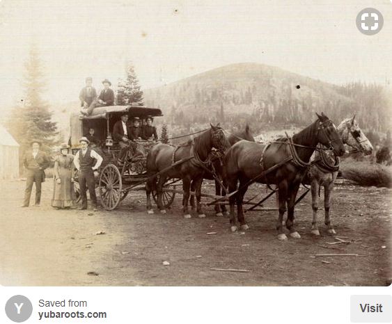
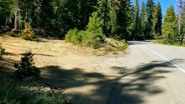
We took CA49 out of Grass Valley/Nevada City, and headed out past North San Juan. After 15-20 miles or so, you turn left on to Marysville Rd and see this. We passed it once and had to come back.
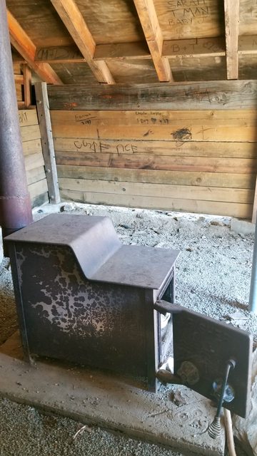
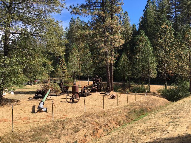
Some equipment used by the miners who flooded the area (pun intended) in search of riches and placer gold. How that differs from normal Au, I'm not sure.
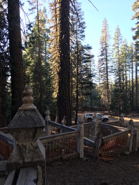
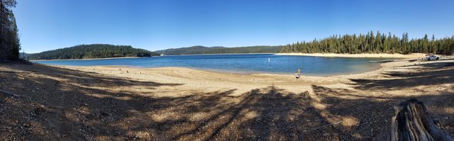
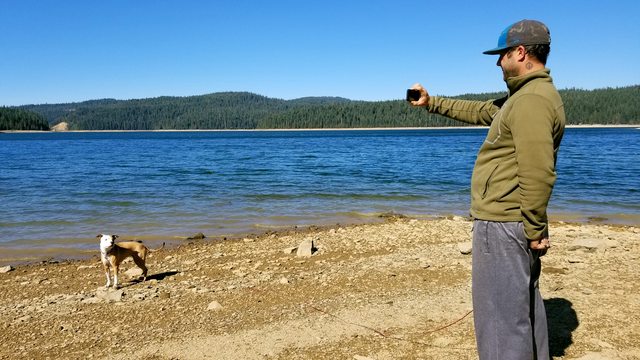
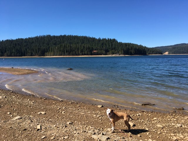
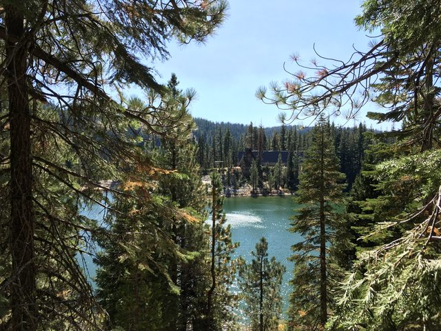
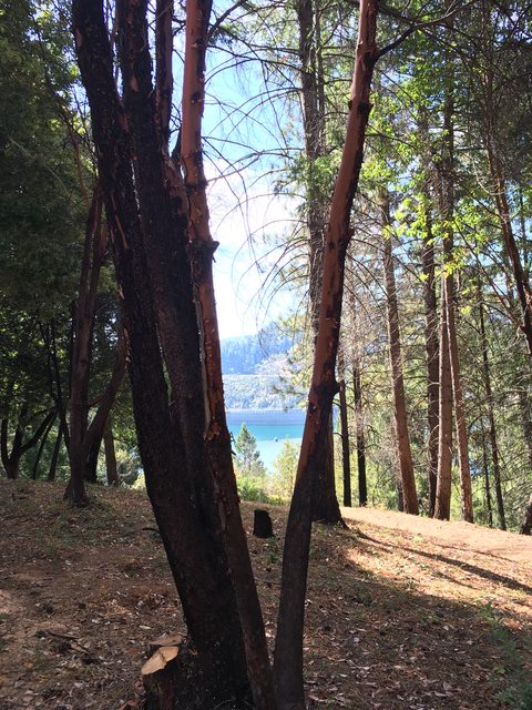
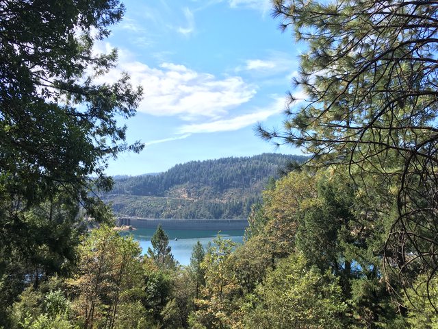
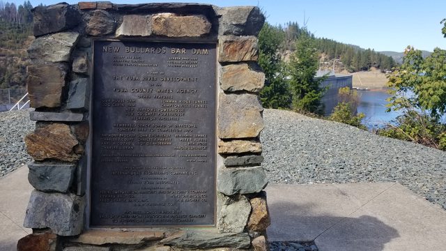
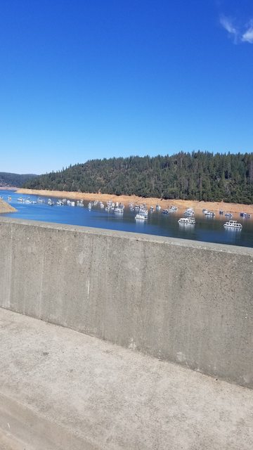
You end up on the southern shore of New Bullards Bar Reservior. Constructed in 1961 it is a flood control dam and a belongs to Yuba County Water Agency. On our visit there, it was below capacity which was not surprising given the season.
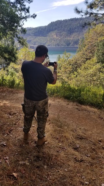
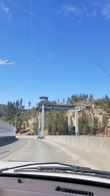
The dam feels like a check point, controlled and imposing. I suppose security ought to be high and I found I was more distracted by the awe of the engineering and scale of the structure.
Last edited: