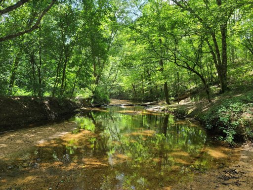
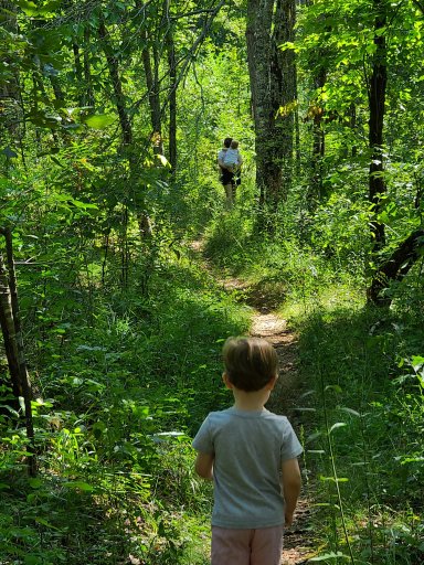
Sorry for the delay - life interrupted. No, I have not been to the Oakmulgee District before. I was just looking on Gaia though and it looks like there are tons of trails to explore. I just saved a loop out 743 and back on 742 for when we are able to get down there. What is that crossing like? Just a little brook or do you have to wade?
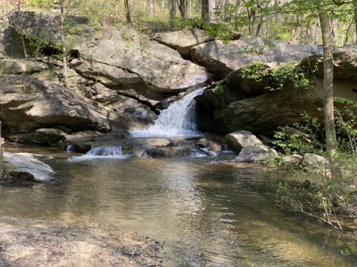
I’ve done 743, but not 742. The water crossing on 743 was probably a foot or so deep - though you may want to check before plowing thru with all this rain we’ve been having. I drive a stock 4Runner TRD OR and had no issues crossing. What you will find in Oakmulgee is that some roads are good gravel, some roads have muddy patches/water puddles, and others are not maintained at all. So, you may turn down a road and come up on a really big, deep, patch of mud. In that case, I just turn around. That’s only happened on like 2 or 3 occasions. Must mud puddles or patches are short and not too bad. I did notice this past weekend a lot of new road work in one area. So, they may have improved some roads. As you note, there are tons of options.
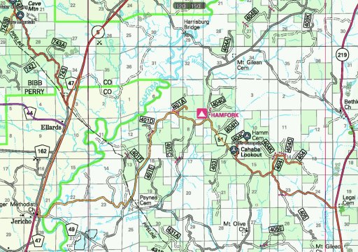
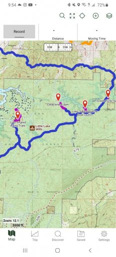
One of my favorite spots is Cahaba Lookout. Below is one of the routes I’ve taken from one of the 3 or 4 times I’ve been there. If you note Harrisburg Bridge on the top of that map, it crosses the Cahaba River. It is possible to drive under the bridge on the east side and get right up to the river. There is a little mud and sand, so I don’t know how drivable that is after one of these monsoons we’ve been having.
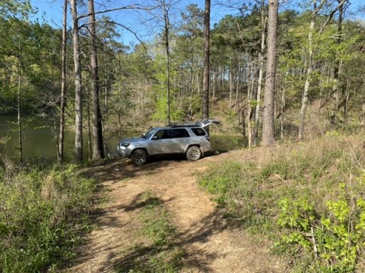
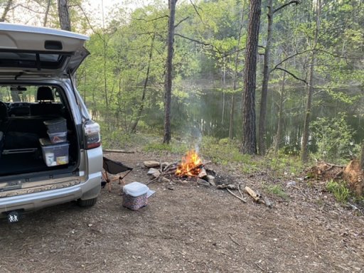
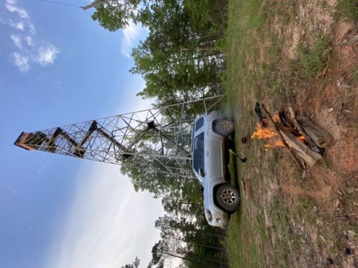
Further east (closer to Maplesville) is the Perry Mountain Lookout, which is probably my favorite spot in Oakmulgee. The view is probably not as nice as over at Cahaba Lookout. However, you can drive up to Perry Mtn Lookout and the road up is real fun. Nothing super hard, but it’s a short roller coaster. Plus, you can drive around the tower. I’ve camped at both spots. They are both worth the drive, in my opinion. It does look like they are clearing another hunter camp at Perry Mtn, so there may be some new work in that area.