Overland Planning Tools

  • HTML tutorial

Lifestyle Overland

Rank VI
Founder 500
Member

Pathfinder II

4,387
United States
First Name
Kevin
Last Name
McCuiston
Member #

0102

What tools do you use for planning and navigating your overland adventures?

I'll start:

1) Google Earth (For overview)
2) Hard Copy Map (Batteries never die)
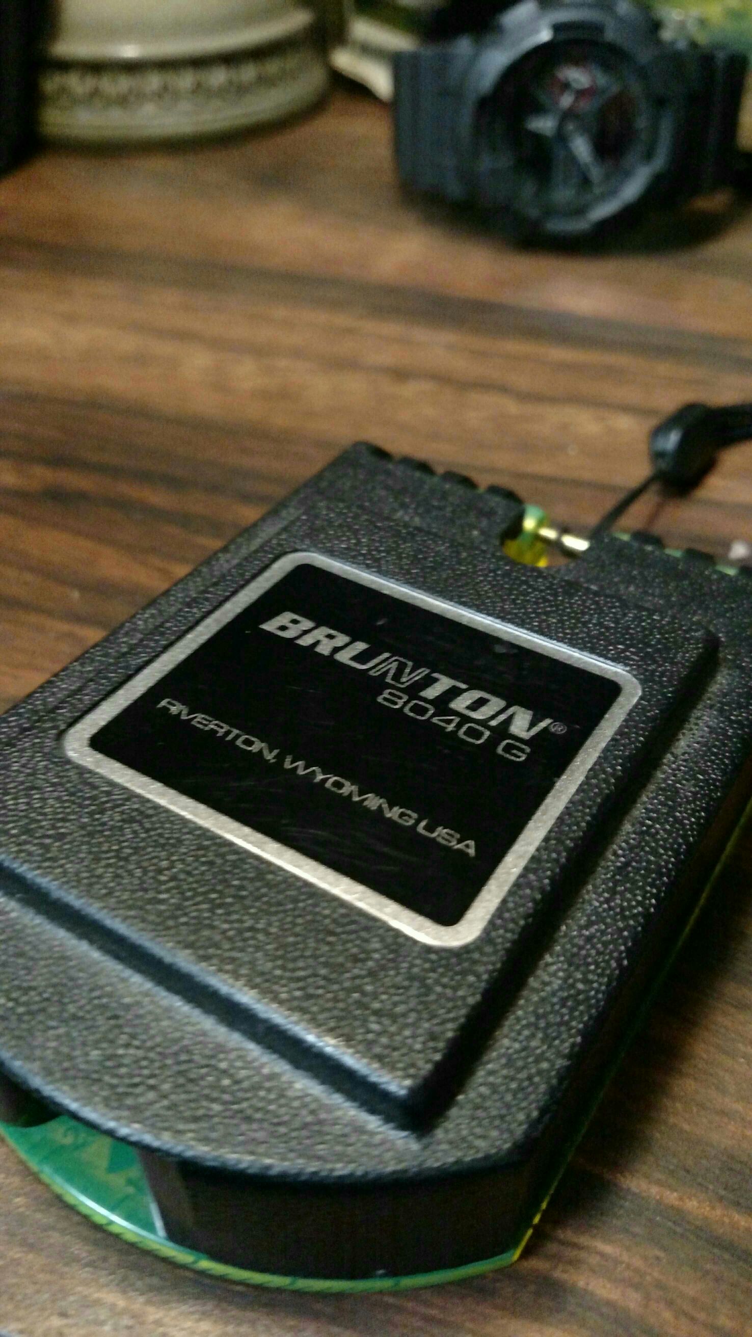
3) Garmin Montana 600 (For current location and trip metrics)
4) Delorme inReach (Slowing phasing this into the kit, mostly an SOS unit but love the ability to text locations and share them on facebook.)
 
  • Like
Reactions: deeker and Michael

jdunk

Rank VI
Founder 500
Member
Investor

Pathfinder II

4,387
King County, Washington, United States
First Name
Josh
Last Name
Duncan
Member #

0446

I use my Garmin Rhino with Basecamp, Google Earth, paper maps, and a mobile app called "Maprika".

Maprika is a fantastic app that lets you download maps that people have uploaded. I try to always download the different paper maps that I'm taking with me. Once the maps are downloaded, the app works offline with your phone or tablets GPS.

It also has the ability to add friends so that you can keep track of each other. Of course, that requires some kind of access to the internet.
 
  • Like
Reactions: Lifestyle Overland

SLO Rob

Rank VI
Staff member
Founder 500
Member
Investor

Pathfinder III

3,614
San Luis Obispo, CA
First Name
Rob
Last Name
Petterson
Member #

0012

Google Earth to get my bearings. Gaia to download area. paper after that. cell phones while they can... Getting an older Garmin Rhino, which I'm excited to get to know.
 
  • Like
Reactions: Lifestyle Overland

Michael

Rank IX
Staff member
Founder 500
Member

Benefactor

15,584
Livermore, California, United States
First Name
Michael
Last Name
Murguia
Member #

0000

Ham/GMRS Callsign
KM6YSL
  1. iPhone w/ Waze (don't set it and forget it)
  2. Paper Map (DeLorme)
  3. DeLorme InReach Explorer
  4. Google Earth - Just started this, but seems like a good option for creating and sharing waypoints in KMZ format! GPD Coord-sharing post
On a few occasions I have imported the kms format via the InReach Explorer website, and downloaded the route to our DeLorme. That's how we located the Spring Bottom Trail in Utah!

M
 
  • Like
Reactions: Lifestyle Overland

deeker

Rank V
Founder 500
Launch Member

Advocate II

1,798
SW Ontario, Canada
Member #

146

If I know the trail - I just go. I likely have waypoints stored in my GPS, a paper copy in my trail maps binder and the trail highlighted in my copy of the Backroads MapBook. Those three things go with me on almost all trips, if nothing more than conversation fodder.

If it's new to me, I'll look on Google Earth and get an idea of the length and terrain. Sadly, in most of the areas I go the satellite images are still really low resolution. If I can find a KMZ file, I'll look at it and load it into my GPS so I can keep an eye on things. I'll print out a copy of the map and stick it a plastic sleeve in my binder - for the same reason as @stringtwelve stated... never runs out of batteries!
 
  • Like
Reactions: Lifestyle Overland

MA_Trooper

Rank VI
Launch Member

Influencer II

3,969
Methuen, MA
First Name
Chris
Last Name
BRV
Member #

0520

My process:
1. Use Google Earth and MapsEngine to plot route
2. Turn route into .gpx / .kmz
3. Import .gpx into MotionX on iPhone
4. Download tiles required for offline navigation in MotionX from favorite map source
5. Follow route in MotionX on iPhone
6. Consult paper maps when necessary
 
  • Like
Reactions: Lifestyle Overland

MOAK

Rank V
Launch Member

Off-Road Ranger I

2,865
Wernersville Public Library, North Reber Street, Wernersville, PA, USA
First Name
Donald
Last Name
Diehl
Member #

0745

Ham/GMRS Callsign
WRPN 506
Maps, good old fashioned maps, especially the topo maps from National Geographic, and along with them a nice compass. I may google earth an area before we head out, but that's just a luxury toy, not anything I would depend upon while out and about on two tracks or hiking.
 
  • Like
Reactions: Tim N Michele Davis

Robert OB 33/48

Rank VI
Founder 500
Member

Pathfinder III

4,697
Gaanderen
First Name
Robert
Last Name
Keim
Member #

0033

I use several ones;
1. Mappoint by Microsoft. Europe. It is great. We can cover about ninety percent of all our trips with
2. Google Earth.
3. Memory Maps
4. TTQV-4
5. Wikiloc
6. Travel guides
7. My eyes and instinct during the trip itself. ( this looks nice, just go there and see what happens)

For Morocco there will be some paper maps as well.
 

gcg

Rank 0

Contributor I

My planning tools are pretty old now (but, hey, so am I) but still work very well for me. I use software from National Geographic called TOPO!. Unfortunately it is no longer available but I still use what I have. It's based on USGS topo maps digitally stitched together seamlessly. I start planning for a trip by bringing up the map of the area and "drawing" my intended route on it and saving it. I then use a laptop in the Jeep (also running TOPO!) with an attached USB GPS receiver. I continuously track my actual position on the map using it and I can tell at a glance if I'm still traveling on my intended route (the one I drew on the map) or not.

I carry a backup computer and receiver "just in case" and I always have printed copies of the map along just in case all that fails. I also carry a compass in case I really need to navigate with the paper map.

These tools have worked very well for me over many years. It's too bad that NG has discontinued the software, but the general approach, I believe, is good and I'll probably need to look for similar, more modern tools in the future. I also have a copy of Backcountry Navigator on my phone but generally don't use it much.
 

Overland-Indiana

Overland Bound - Midwest Regional Ambassador
Launch Member

Influencer II

3,316
Kokomo
Member #

0750

Google maps
Paper maps
Turn-by-turn directions (Hand written using the route I want)
GPS (Garmin, don't know model)
I also have various topo maps of common areas i go on my phone and tablet....(All of them work offline also)

I don't trust GPS units (Like my Garmin) they seem to have a mind of their own at times. I always plan out route on paper then start GPS and use it as a last resort.
 

RescueRangers

Rank V
Launch Member

Pathfinder I

2,055
Fleming Island, Fl
Member #

0675

For planning;
Google-
Forums/website trip reports/youtube videos-
Maps

For Execusion
Maps
DSCF0003.JPG
All the maps I will need on the trip are stored in this canvas bag.
The nav system that came with the Jeep (730) isn't all that good so its mostly just a back up, "you are now at __-__-__ __-__-__".

We really don't worry about getting lost, getting lost is true exploration.
 

Overland-Indiana

Overland Bound - Midwest Regional Ambassador
Launch Member

Influencer II

3,316
Kokomo
Member #

0750

For planning;
Google-
Forums/website trip reports/youtube videos-
Maps

For Execusion
Maps
View attachment 722
All the maps I will need on the trip are stored in this canvas bag.
The nav system that came with the Jeep (730) isn't all that good so its mostly just a back up, "you are now at __-__-__ __-__-__".

We really don't worry about getting lost, getting lost is true exploration.

What brand is the net you have to separate the cargo area? I am looking for something like this for my WJ.
 

RescueRangers

Rank V
Launch Member

Pathfinder I

2,055
Fleming Island, Fl
Member #

0675

What brand is the net you have to separate the cargo area? I am looking for something like this for my WJ.
Motion-Tek JK 07-13, Adventure Series, Jeep Cargo Nets, Rear and Side Window Set, I got it from Northridge 4x4. It is a standard cargo net designed to follow the roll bar to the trailgate. I took it down instead, it follows the angle of the back seat. Take the middle tiedown and put in on the end, and the end tiedown and switch it to the middle. Only other modification is getting two d-rings and attach them to the seat mount to hook the end tiedown to.
 
  • Like
Reactions: Overland-Indiana

toxicity_27

US MidWest Region Member Rep
Launch Member

Member II

3,278
Minnesota
Member #

0656

I use Google Earth and Backcountry Navigator. I want to get some paper maps, and learn to use those with a compass so I have a backup.
 
  • Like
Reactions: maktruk

maktruk

Rank V
Launch Member

Pathfinder I

2,741
95046
Member #

0912

I use Google Earth and Backcountry Navigator. I want to get some paper maps, and learn to use those with a compass so I have a backup.
We started the same way, G-Earth and BCNav, which were awesome for the limited areas we were traversing. As we found more and more different signage, the wife (my navigator) started buying paper maps. First at the various ranger stations we passed, then she got wise and started ordering fully updated USFS atlases.

G-maps now has offline maps available as well, same as BCNav, select area and save to phone/tablet
 
  • Like
Reactions: toxicity_27

maktruk

Rank V
Launch Member

Pathfinder I

2,741
95046
Member #

0912

As for compass...


I have excellent luck with Bruntons...


Watch and phone-based compasses are neat, but keep a magnetic or two around...