
Hello there overlander's I am new to the whole high tech navigation! I have had an iPad mini 2 with cellular and of corse wifi. I was told it is capable of running offline gps. As long as I find an app that well download and store maps, and I was wondering if anyone is running any apps like this on the IOS devices?
Offline gps for iPad
- Thread starter Seanrcaldwell
- Start date
You are using an out of date browser. It may not display this or other websites correctly.
You should upgrade or use an alternative browser.
You should upgrade or use an alternative browser.
My understanding, please double check with Apple, is that iPads primarily use AGPS (assisted GPS) which is based on triangulation of the cellphone towers near the device. However, if it is 3G/LTE then it is supposed to have native GPS if you turn off all other connections (not airplane mode, but the actual cell, wifi and bluetooth connections).
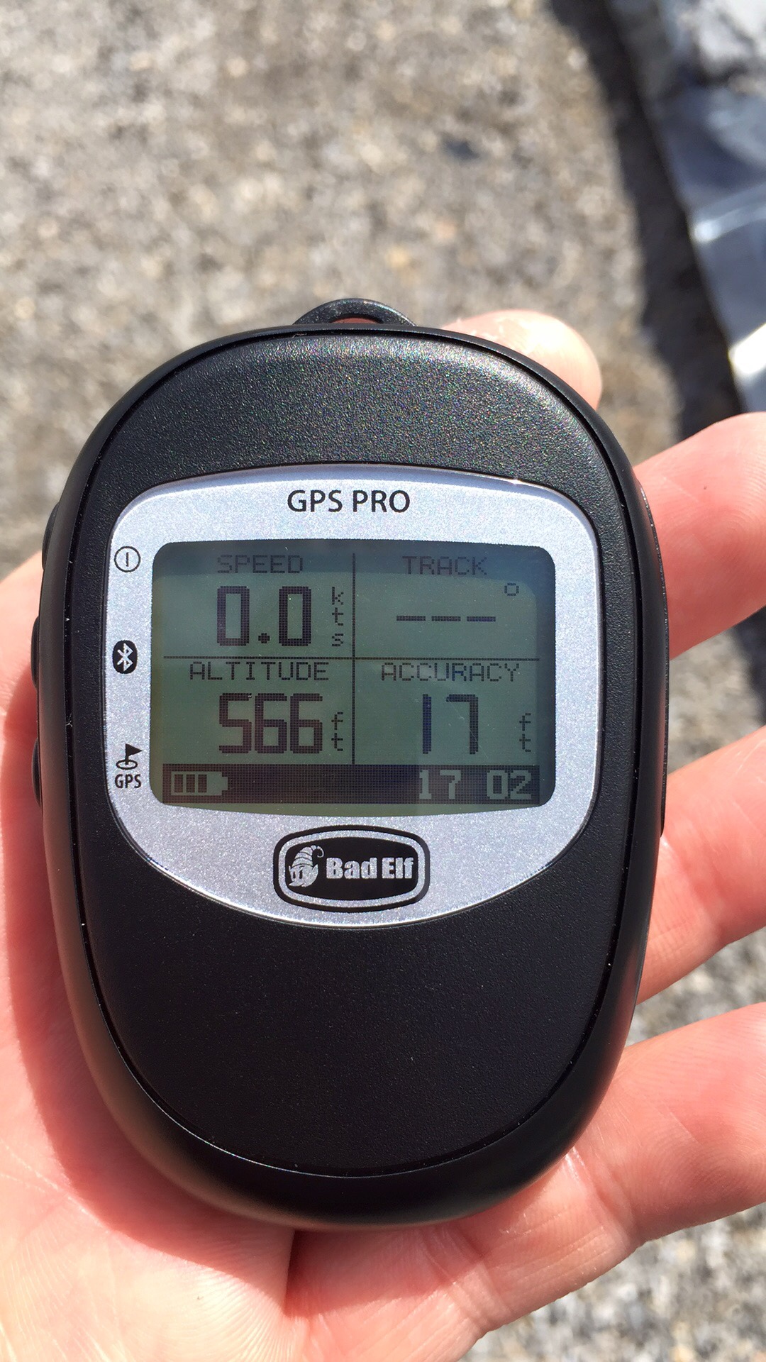
I use an old wifi-only iPad Mini for navigation and purchased the BadElf GPS puck, it works well. I run Garmin and Topo apps for on and off-road adventuring, I also run a wireless OBD-II connection to monitor all the data from my engine since the E-150's gauges are horribly simplified and don't show much data.
I use an old wifi-only iPad Mini for navigation and purchased the BadElf GPS puck, it works well. I run Garmin and Topo apps for on and off-road adventuring, I also run a wireless OBD-II connection to monitor all the data from my engine since the E-150's gauges are horribly simplified and don't show much data.
I know I can run gps of line but i need a good app that can cash maps to run it. just woundering what y'all r using?

Traveler III
Welcome aboard, @Seanrcaldwell
I use Gaia on my cellular iPad after seeing it recommended more than any other GPS app on several forums. It worked great tracking me in central Florida. I assume it would be reasonably close without cellular data.
Here's a previous conversation: http://www.overlandbound.com/forums/index.php?threads/gps-apps-what-do-you-recommend.986/
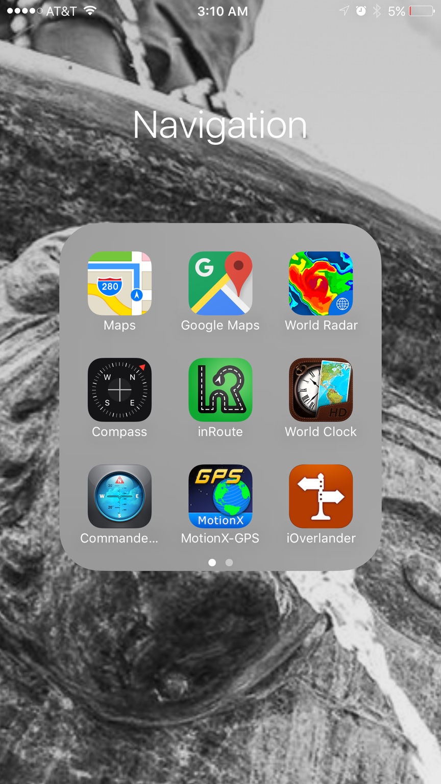
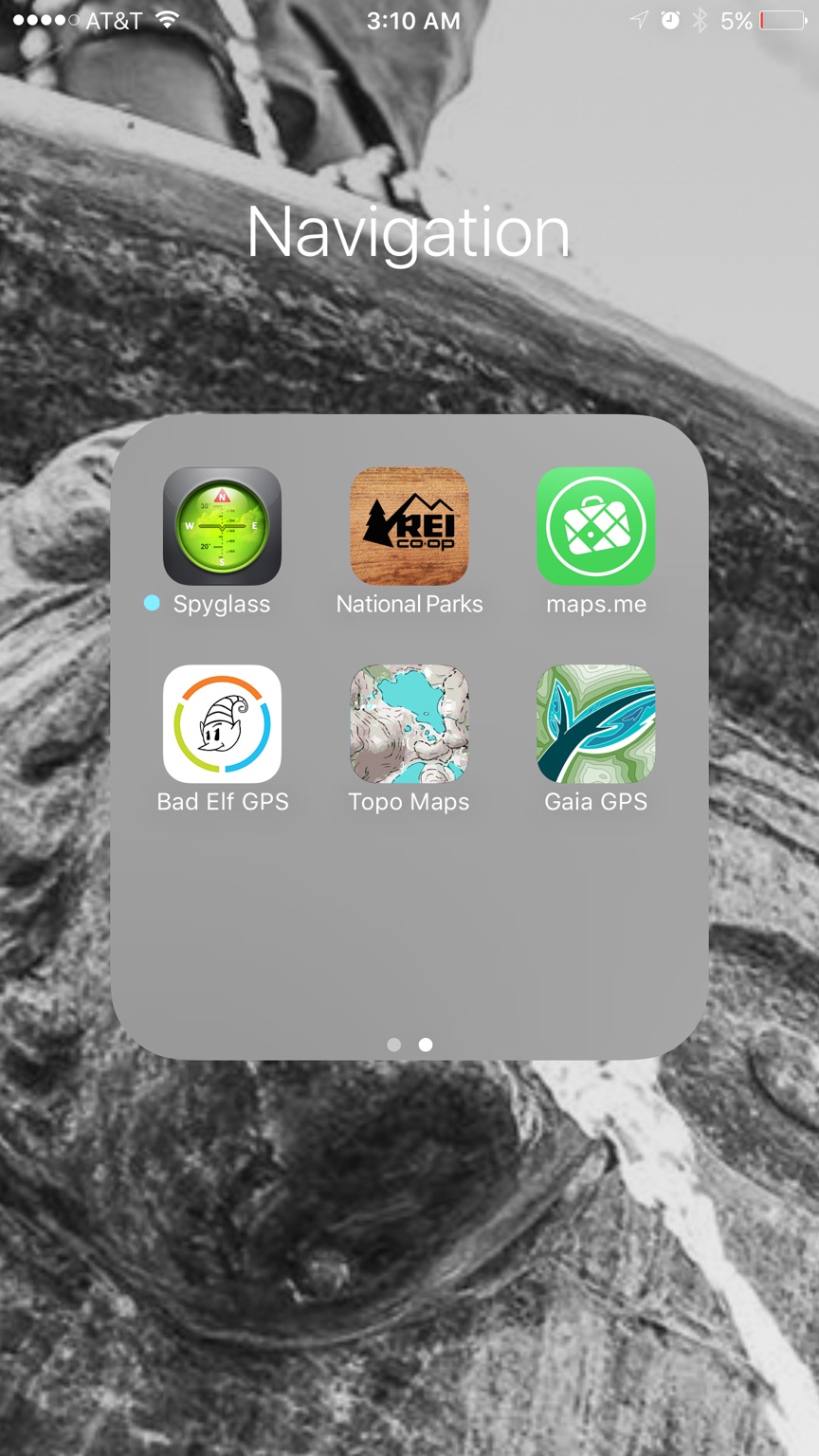
I use maps.me, You can download files to it to use and its free. Or I also have motionX which is like $5 i think and you can add maps to it or you can track the route you're on.

I use 2 IPads one active one backup, I also use an iPhone 6S+. The Bad Elf is great and works very well. I use a number of aps to NAV. But I also use different APS to plan my trips. Because the Bad Elf is BT, I link my MACBOOK Pro and use that for trip planning, in a pinch, it will also allow Navigation due to the Elf. My favorite NAV ap by far is motion X, been using it for a while. It can load huge number of waypoints, the layers are way easy to use and you can download different maps as you need them. Did I mention it's easy to use.
Sent from my iPhone using Overland Bound Talk
Sent from my iPhone using Overland Bound Talk
Last edited:


Advocate II
Sent from my iPhone using Tapatalk
Avenza/PDF Maps is a good app but you have to be proactive and download all of your maps prior to your trip. Search for them and then download all of the individual files. Most of the are small so you need to make lots of downloads.
GAIA on the other hand has many map sources. Most free and a few nicer ones with the pro subscription. With GAIA and an Internet connection the maps of your choice appear. You can then download them for offline use. You pick the area and amount of detail you want. I sat in a McDonalds with free wifi, downloaded some GPX tracks for trails in Moab and then the maps I wanted and been on my way in a few minutes.
Avenza is free so give it a try. I use it as a backup when there are very specific PDF maps offered by the forest service. For example, Vehicle Use Maps. Otherwise an app like GAIA is way more useful.
They are really two different animals. Keep reading there are plenty of reviews out there and this question gets asked all the time.
Last edited:
Gaia and its little brother are good, but motion X is still my favorite. I don't think you can go wrong with any of the NAV aps out there today. Motion X is similar to Gaia but has lots more functionality.
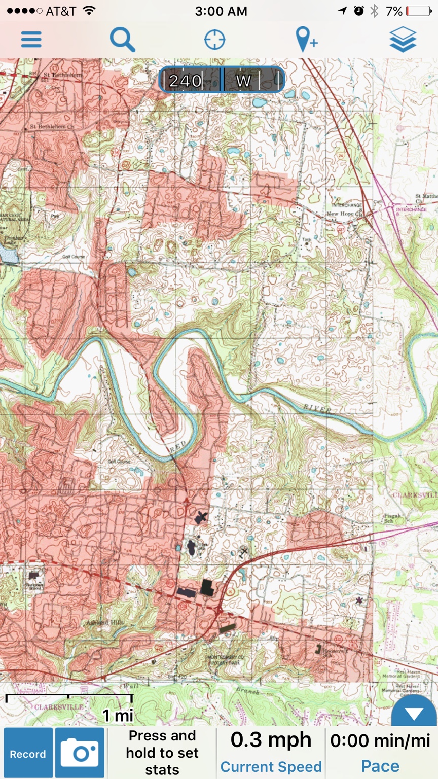
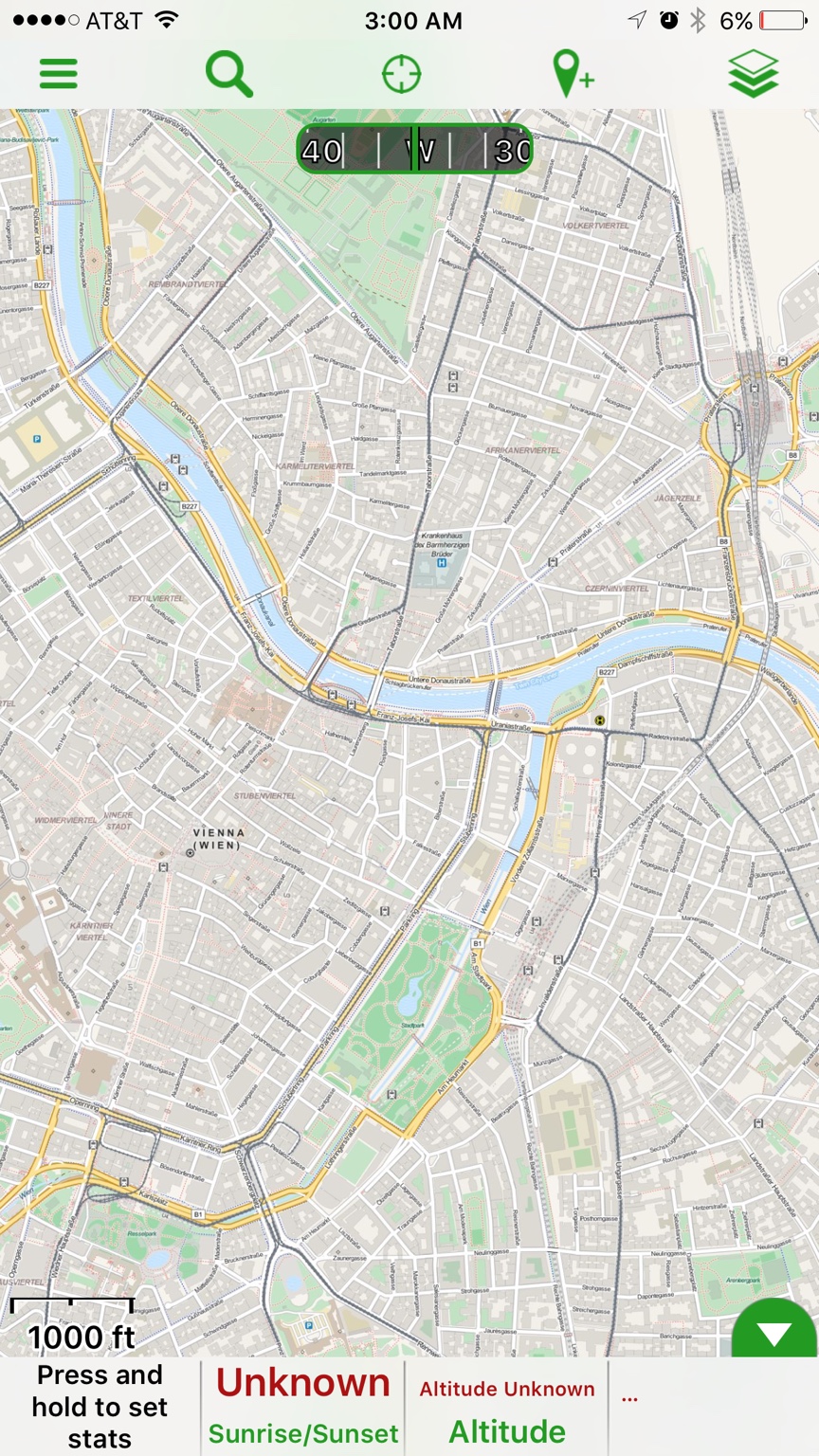
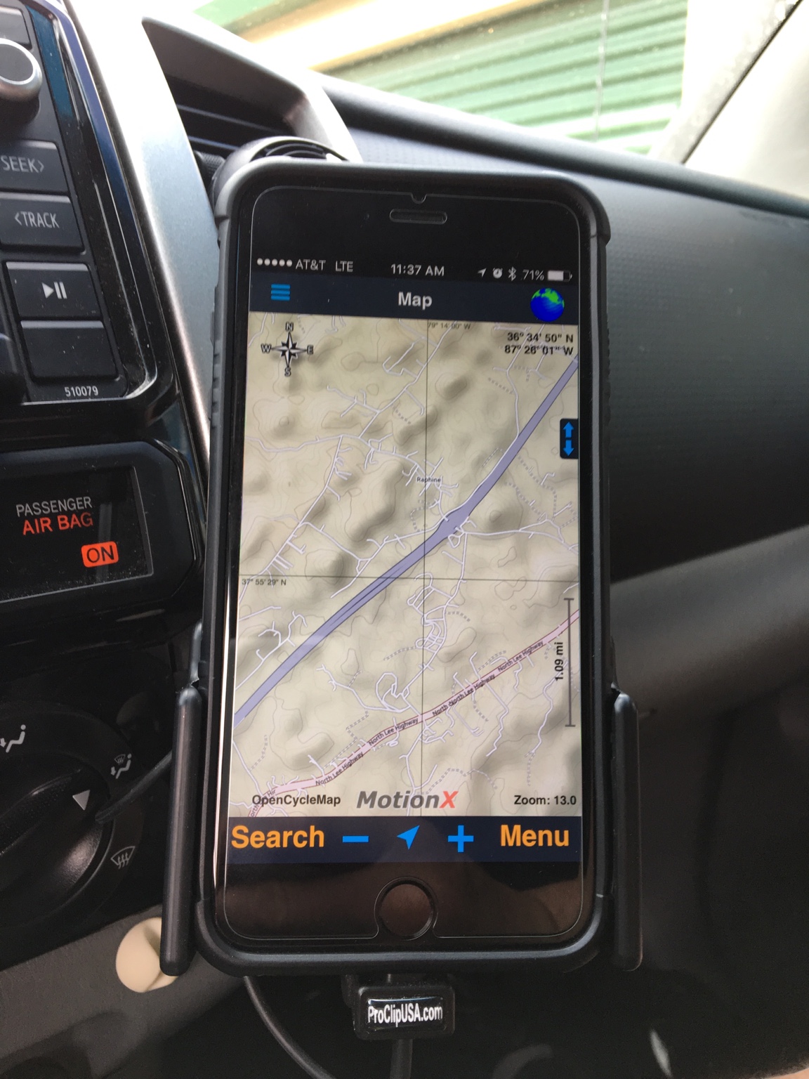
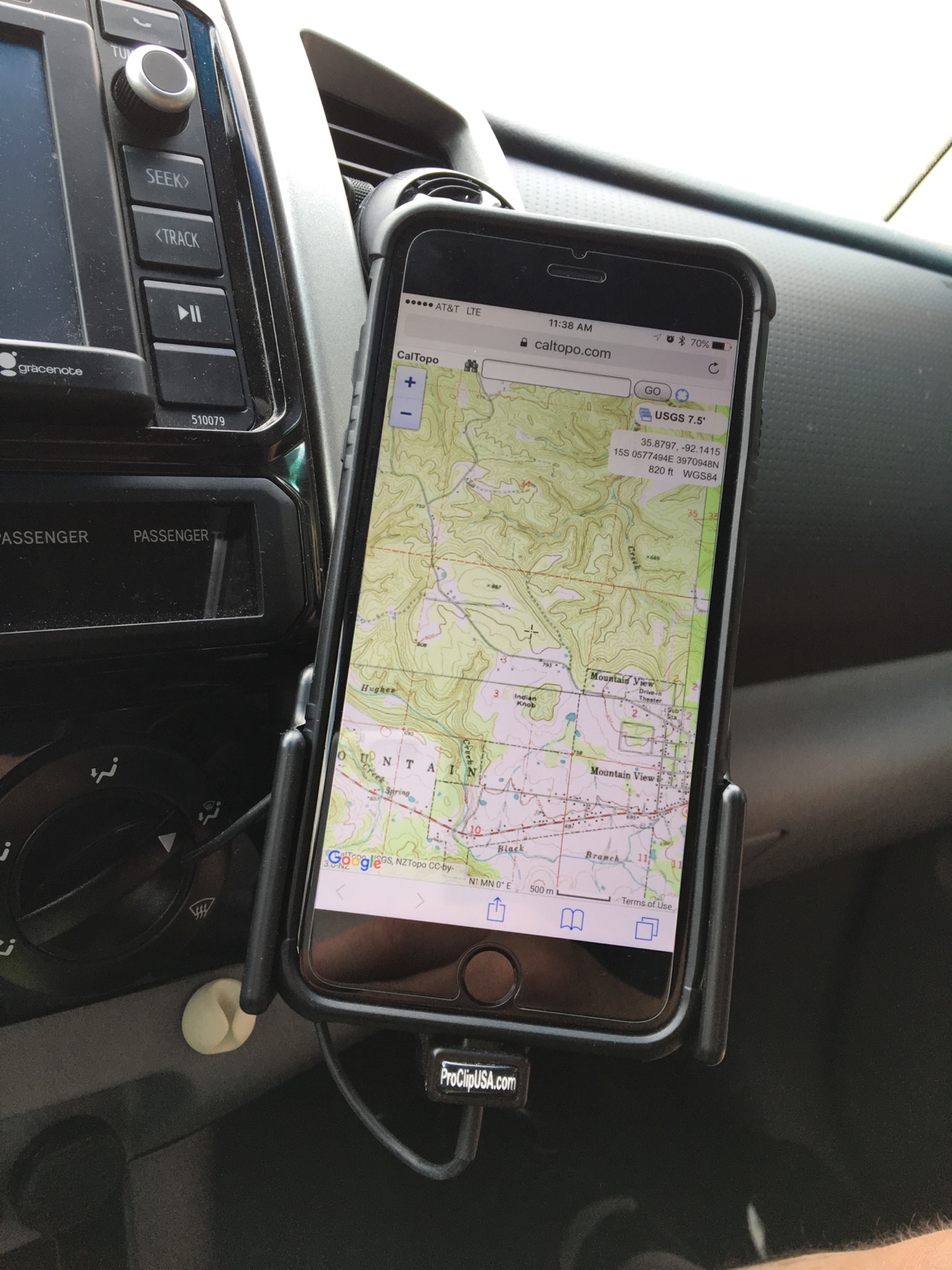
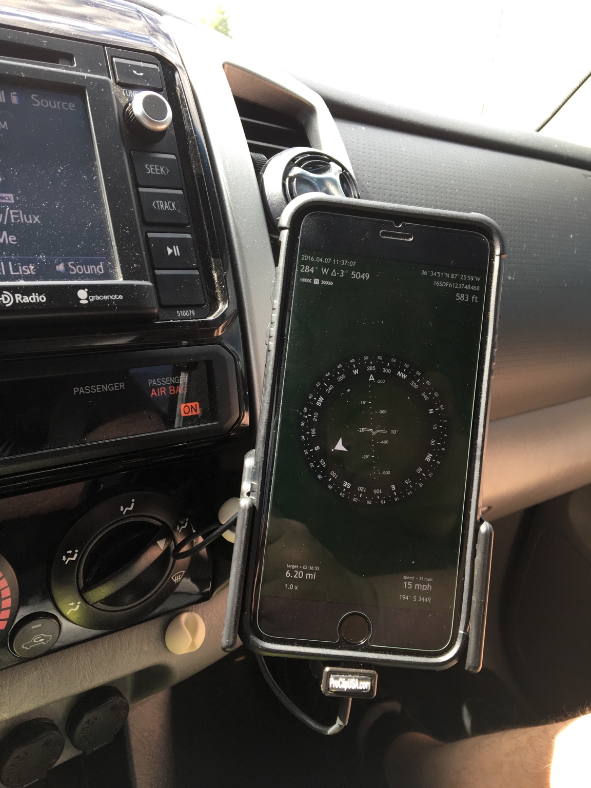
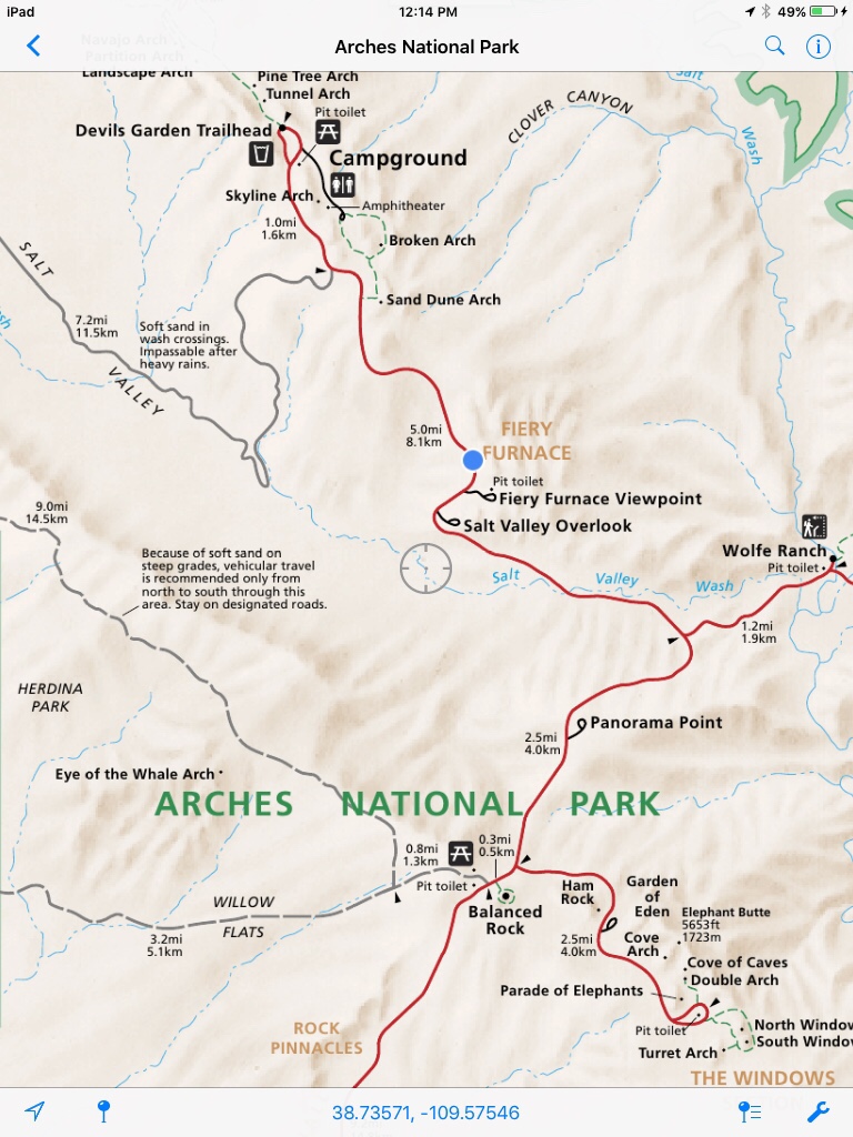
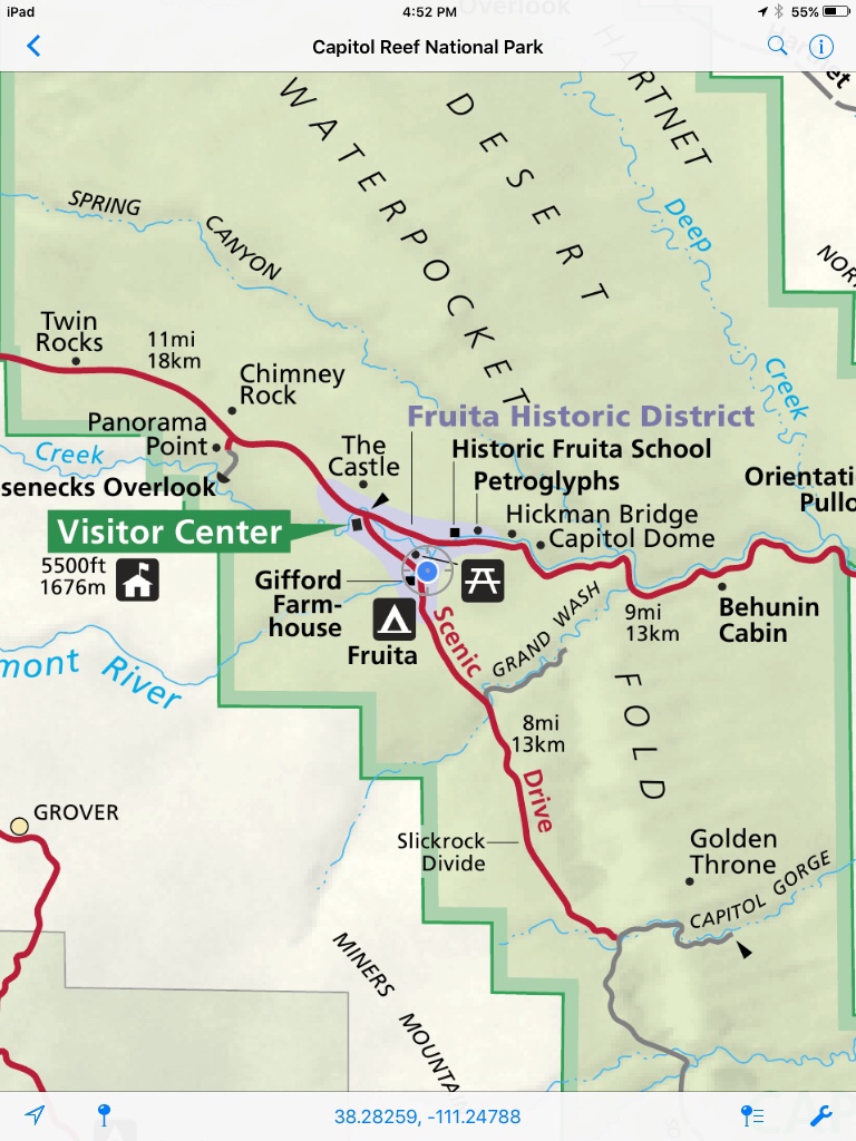
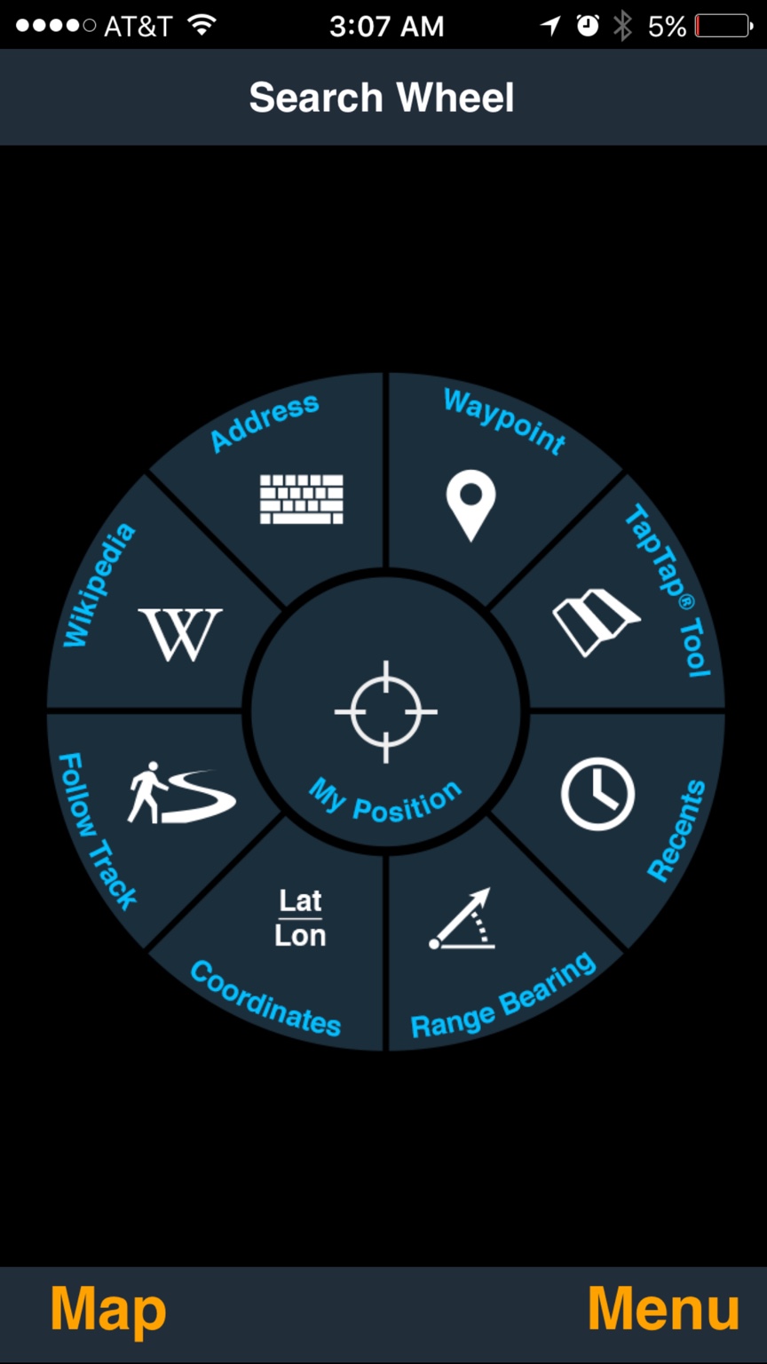
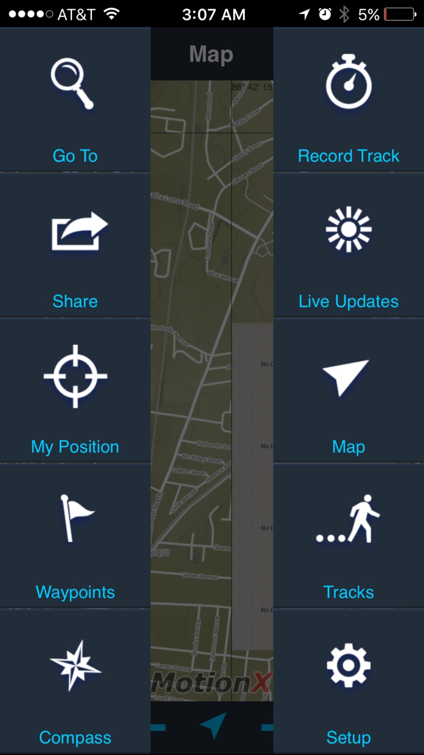
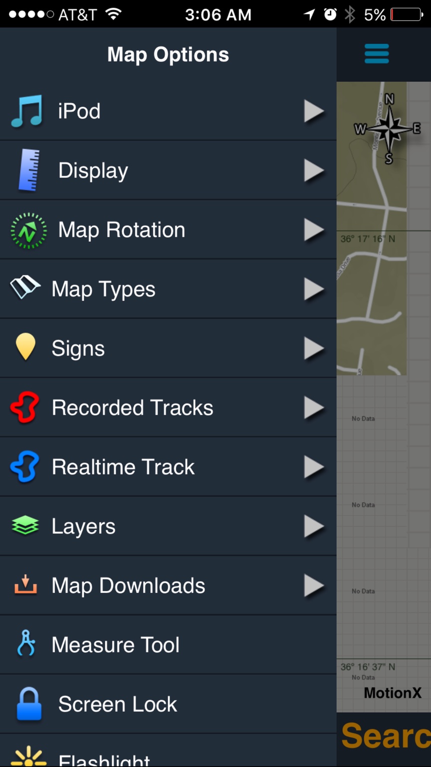
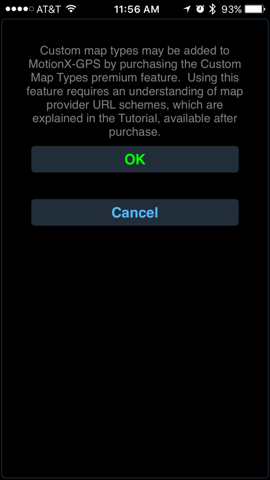
First one is Gaia second pic is TOPO MAPS last pics are some of the motion X features.
These are the Aps I have at the moment.
Sent from my iPhone using Overland Bound Talk
First one is Gaia second pic is TOPO MAPS last pics are some of the motion X features.
These are the Aps I have at the moment.
Sent from my iPhone using Overland Bound Talk
Motion X is good and affordable. Where I don't like it is I find downloading maps to be a pain for offline use and they do not offer as many map layer options. It is a reliable app though.
The #1 reason why I use GAIA is it is just so convenient to download maps for tracks. You can either pick the area you want or when you are viewing the track information you can tell GAIA to download the maps for that track. GAIA will automatically download maps along the route and 5 miles on either side of the track (I think). I also just like the maps better in GAIA. The USGS Topo maps are very detailed. Similar to what you can download into PDF Maps but they are not individual renderings of paper maps.
The #1 reason why I use GAIA is it is just so convenient to download maps for tracks. You can either pick the area you want or when you are viewing the track information you can tell GAIA to download the maps for that track. GAIA will automatically download maps along the route and 5 miles on either side of the track (I think). I also just like the maps better in GAIA. The USGS Topo maps are very detailed. Similar to what you can download into PDF Maps but they are not individual renderings of paper maps.
Motion X is good and affordable. Where I don't like it is I find downloading maps to be a pain for offline use and they do not offer as many map layer options.
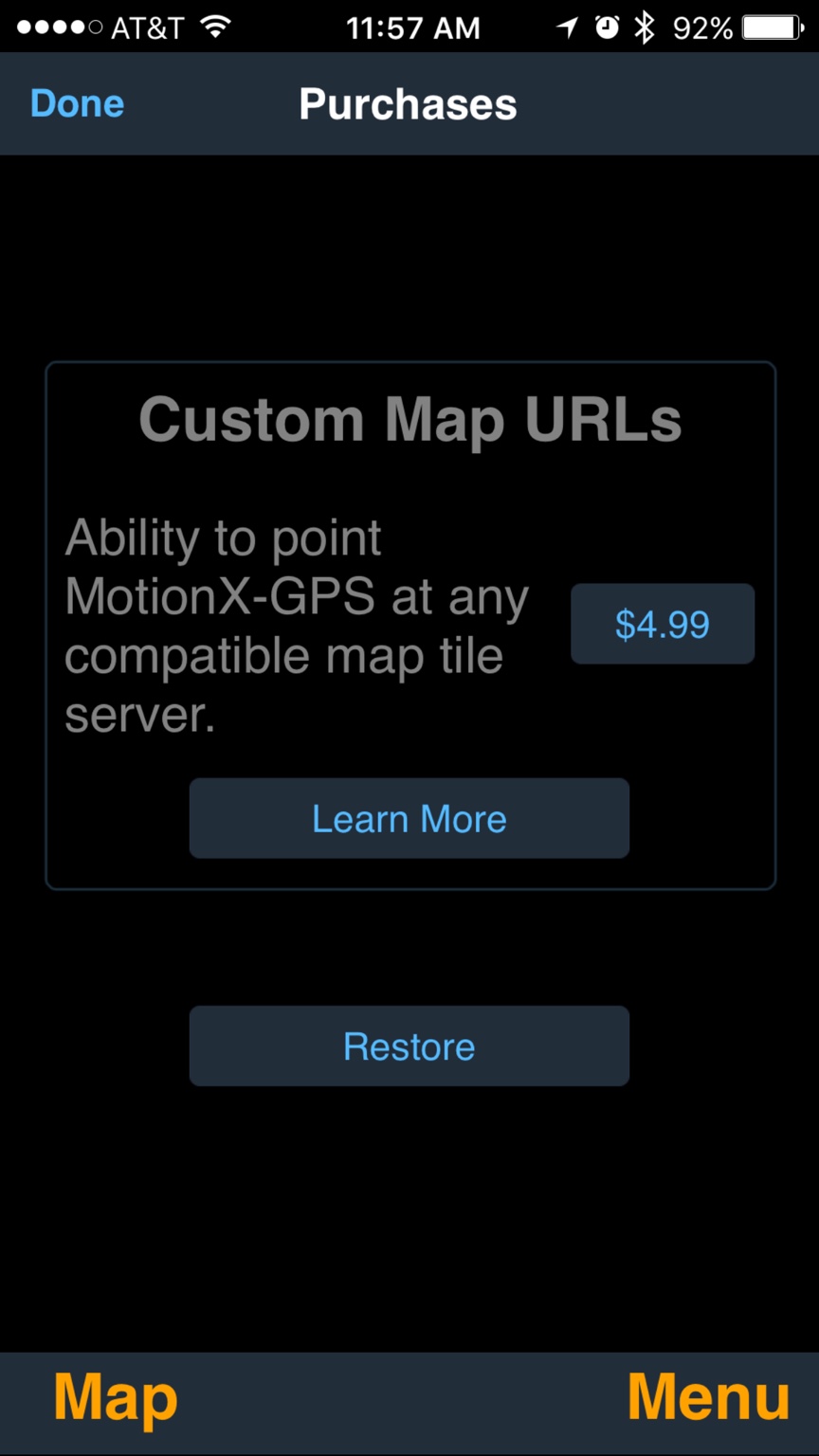
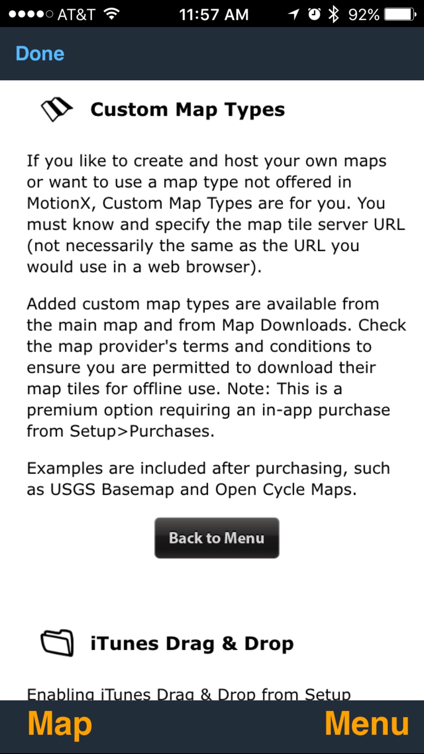
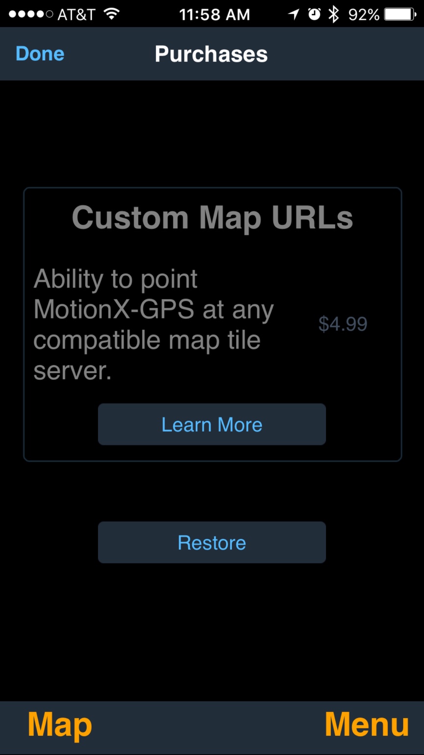
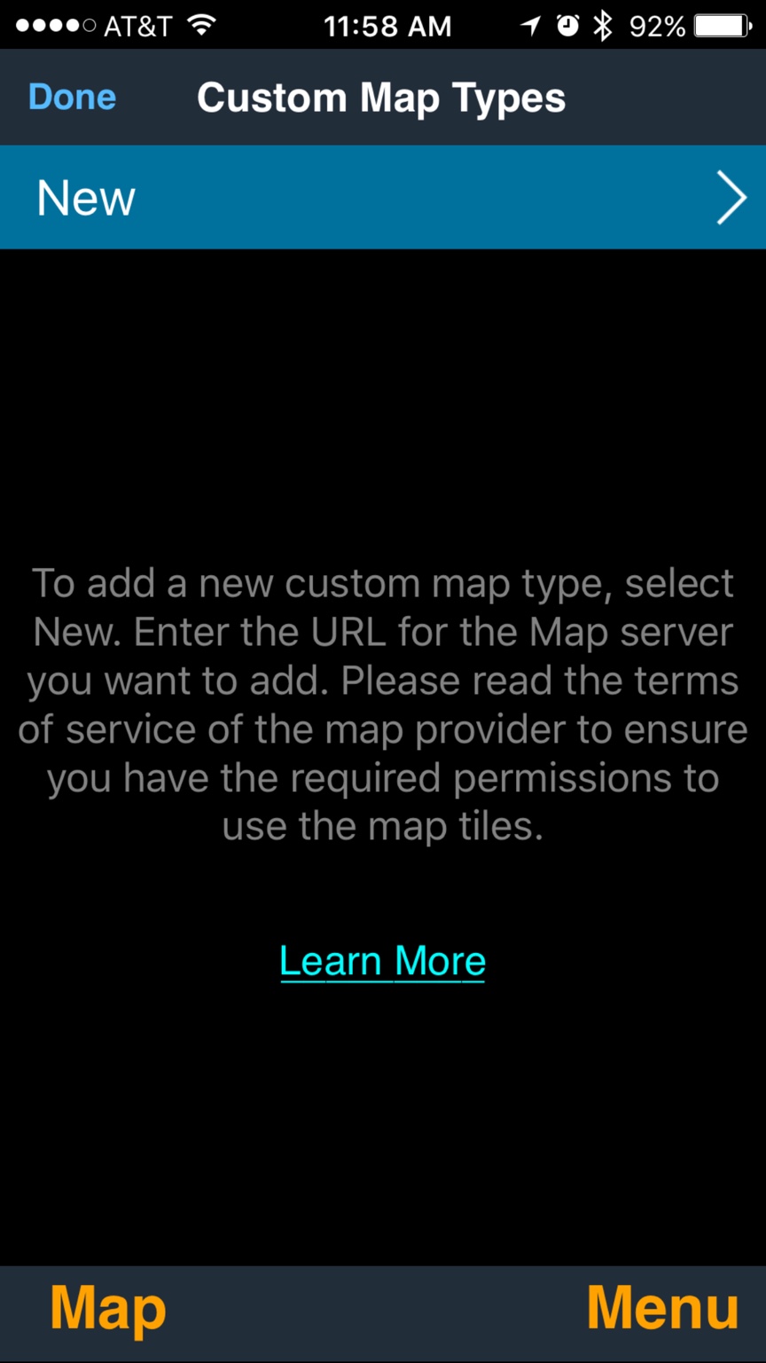
Actually, motion X offers about 3 times the options of maps and the capability of ordering custom maps. They are both affordable. With Gaia, you pay upfront for the maps, with Motion X you can use the free maps of pay for maps you want. They both do the same thing. Motion X simply has a more functionality built into it. Especially when you are outside of the continental US.
The important thing that I was poorly attempting to communicate is. The iPad and the iPhone do ok in the us. But you need a GPS enhancer to use it reliably at all times. Which app for navigation is irrelevant if your GPS is spotty, all the fancy tech only works if you can read the available satellites accurately, reliably and consistently. We tend to depend on our phones and tablets a bit much in civilization. Im very guilty of this.
What I did learn the hard way was that a using a GPS enabler with my Devises was like putting a scope and a bipod on a hunting rifle. It made my iPad capable of doing what I was asking it to do. Reliable accurate geo location anywhere I wanted to go on the planet. The aps, well I look at those as my bullets. Some are a bit better than others, but any of them will do the job at long distances as long as you got your scope dialed in.
Sent from my iPhone using Overland Bound Talk
Last edited:

Influencer II
We use Gia GPS linked to a dual Bluetooth GPS receiver for off the grid navigation
Sent from my SM-G930T using Tapatalk
Sent from my SM-G930T using Tapatalk
Please provide a link to how you add additional maps sources to Motion X GPS and your list that shows 3 times the options of GAIA. I have not found that to be the case. Granted I pretty much gave up on Motion X a long time ago and I more well versed on GAIA GPS.
I did find this article for manual imports: http://www.bemental.me/blog/2015/2/19/custom-maps-with-motionx-gps
Gaia has similar functionality but I have generally found there is no need.
Here is the FAQ for all of the map options for GAIA both with the default app and Pro version.
https://help.gaiagps.com/hc/en-us/articles/215532898-What-Maps-Sources-are-included-in-Gaia-GPS-
Also, I have used GAIA in Honduras, Nicaragua and Mexico with no issues. Both on my iPhone and iPad with my DUAL GPS puck.
Last edited:
It's in the app itself, and like I said you pay for the maps you want, here are the screens that you need to navigate to get to it. You can then go shopping for maps. And you do understand that I use all the aps in my screen shots right. Im not a super fan of any of them, for the cost they could do more. I feel this is turning into some kind of an app pissing contest, that was not my intent, it's all about options. And letting the OP know there are many, many options. I personally prefer motion X over another app that I also use Gaia. The OP can chose what best fits him for his needs from the available choices. FYI I'm smiling as I type this so please don't take it the wrong way.  I suspect our preferences might be linked to how we do our route planing.
Sent from my iPhone using Overland Bound Talk
I suspect our preferences might be linked to how we do our route planing.
Sent from my iPhone using Overland Bound Talk
Last edited:
Sorry guys for not responding sooner but I was out camping this weekend without cell reception. As an update apon reserving multiple good comments on the Motion X app. From multiple forums I gave it a try and I like it works great so far. Yes I had to pay an additional $5 for the custom maps but with that being said I really like it. Now if I could just get this Google earth thing down lol I should be all good to go.

Benefactor

Off-Road Ranger I
Some great info on this thread! So who is going to teach the CLASS. What about the All Trails app for I-phone?
My wife and I have enjoyed the Funtreks guide book for northern ca. by Charles Wells.
My wife and I have enjoyed the Funtreks guide book for northern ca. by Charles Wells.
Another, but costly option is Delorme inReach. This is a device that requires a monthly subscription. It has an app for both iOS and android platforms. The app has multiple map layer downloads to include imagery. Signal from the device can be fed through a bluetooth connection. What this device has that others currently do not is the ability to receive updated weather reports in two ways, it also has the ability to use satellite based messaging system in a non-emergency mode. It is great to provide people back home with status reports and how you are doing. Through this you can post text based messages to your Facebook account also (no pictures). The SOS feature is also 2 way compatible, so that you can keep first responders/SAR updated on the situation. I have recently upgraded to the Explorer which provided a screen so it it easier to use without a cell phone or tablet. I have been using this service for almost 4 years and swear by it now.
http://www.inreachdelorme.com/product-info/inreach-explorer.php
http://www.inreachdelorme.com/product-info/inreach-explorer.php
