Member III
Member III
Member III
Member III
Member III


Member III
Member III
Member III


Member III
20468
Member III


Enthusiast III
Member III


Member III
The section starting east of Broken Bow and ending near Wister Lake is the most scienic section of the OAT.Thanks for sharing. I have some family out that way that may be interested. If you only had 2-3 days, what sections would you do?
Member III
Member III


Member III


Member III
20468
Member III
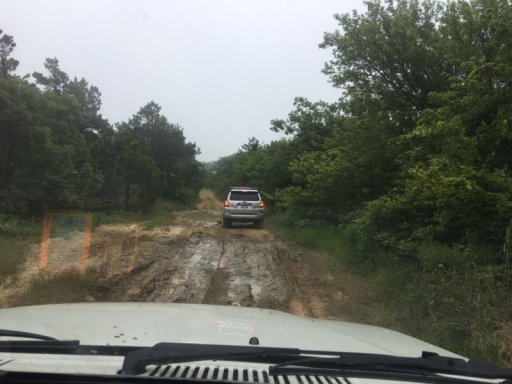
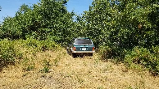
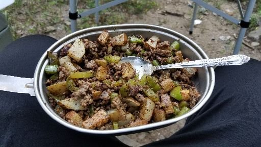
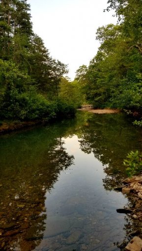
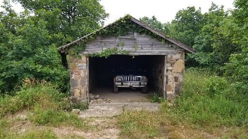
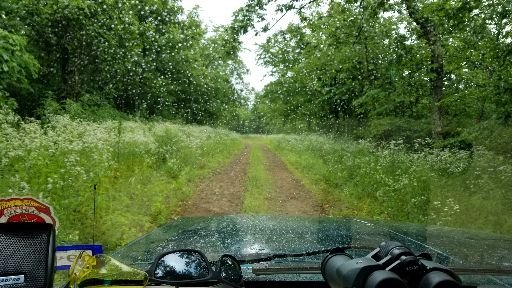
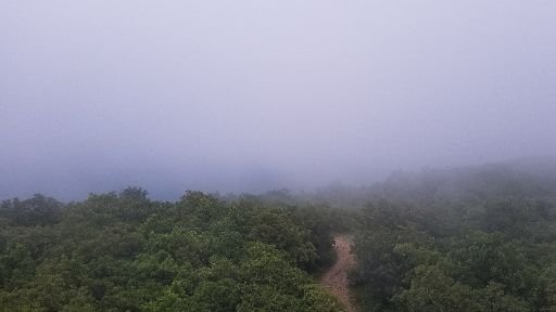
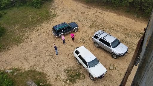
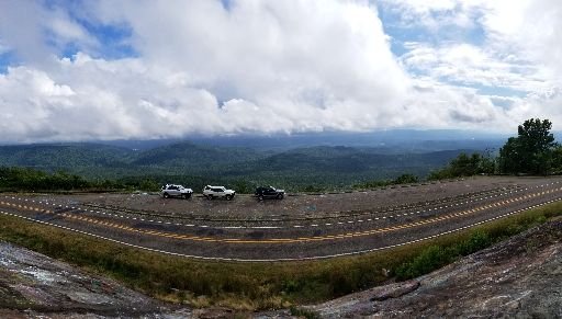
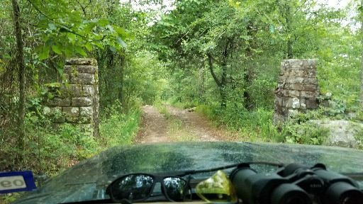
it was a great trip! here are a few photos that we got, we have some video too. i'm still going through it right now, hopefully i'll have it up soon. i have some video of the "tunnel through the forest" lol
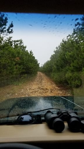
View attachment 159420
Member III
Ryan, great picture. Can you recall where this is?
Member III
20468
Ryan, great picture. Can you recall where this is?
Thanks!
I don’t remember the location though, the wife grabbed that one out the window as we passed it. I’ll look and see if the photo has a gps tag imbedded when I get home today.
Enthusiast III