*WORK IN PROGRESS, STILL EDITING/UPLOADING VIDEOS TO YOUTUBE*
I've been wanting to explore down this way for a while so I finally picked a weekend, grabbed a few friends and off we went. Here's a few pictures and some dash cam footage of our trip.
According to Google Maps, it is 100-something miles from South San Jose to New Idria Mine. That translates to about 3 hours of driving under the most recent road conditions we encountered. This trip could be a long day trip from the Bay Area or you could turn it into an easy overnighter like we did, or extend it longer as there are other points of interest in the area, Pinnacles National Park, Mercey Hot Springs, Laguna Mountain Recreation Area among others. If you just want to get some dirt under your wheels or get away from people for a short while, this is an alternative to trekking to the Sierra foothills.
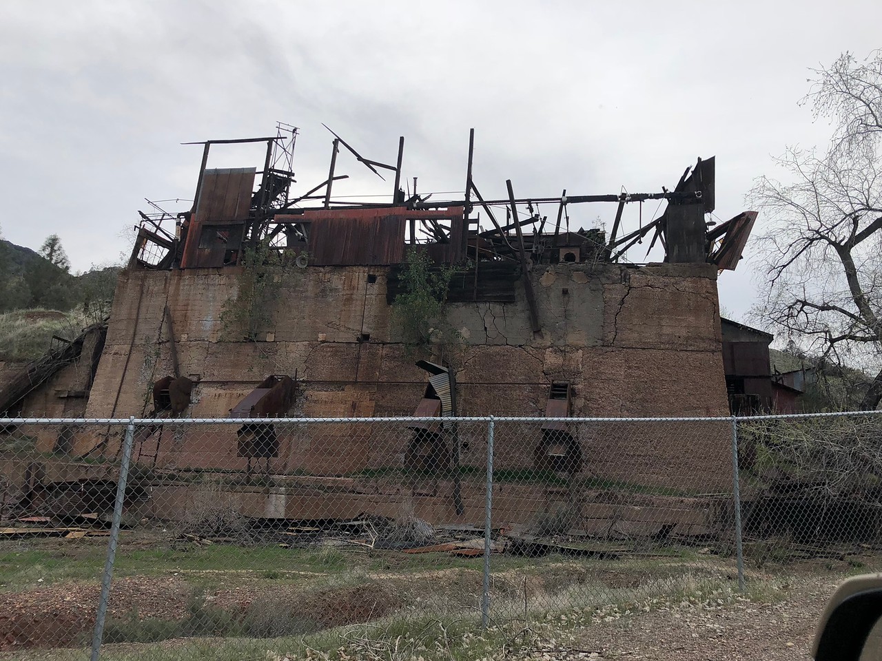
I bundle the two together, New Idria & Clear Creek, as they are pretty much right next door to each other and if you're gonna visit one, you might as well visit the other. They're also, interestingly, two sides of the same coin. The New Idria Mine, once the #2 producer of mercury in the US, is a classic example of how private industry, if unchecked, ruins and pollutes the environment. Clear Creek on the other hand is a case of environmentalists run amok, and using dubious science, shuts down a popular Off-Highway-Vehicle Recreation Area (they're using the same tactics to shut down other OHV areas in California). You can do your own research on the subject, and whether or not you agree or disagree with me, I don't wish to debate the matter.
Important Note: Accessing the Clear Creek Management Area (henceforth: CCMA) requires permits that must be acquired at least 48 hours in advance via: https://www.recreation.gov/wildernessAreaDetails.do?contractCode=NRSO&parkId=72153 You need TWO permits just to traverse the CCMA, the Vehicle Permit (costs $5 + $10 reservation fee) and the Serpentine ACEC Permit (free but has a $10 reservation fee). There are two locked gates controlling access into the CCMA. Without permits and gate codes, your trip ends either at the eastern gate at New Idria or the Western Gate at Coalinga Road. Once you have the permits you can call the Central Coast Field Office of the Bureau of Land Management (831) 582-2200 and you can get the gate codes from them (they will ask you for permit #s).
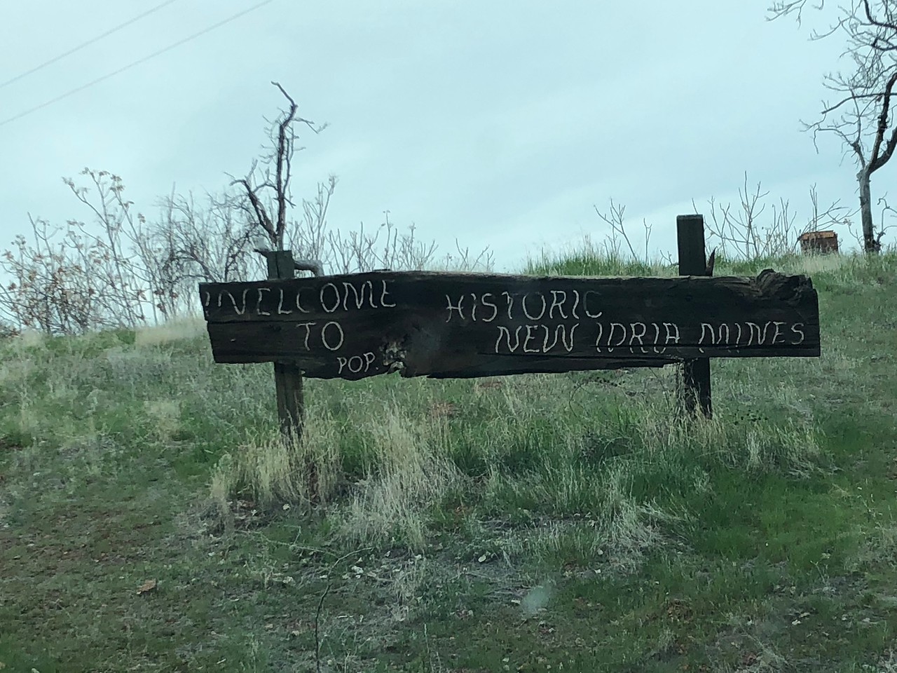
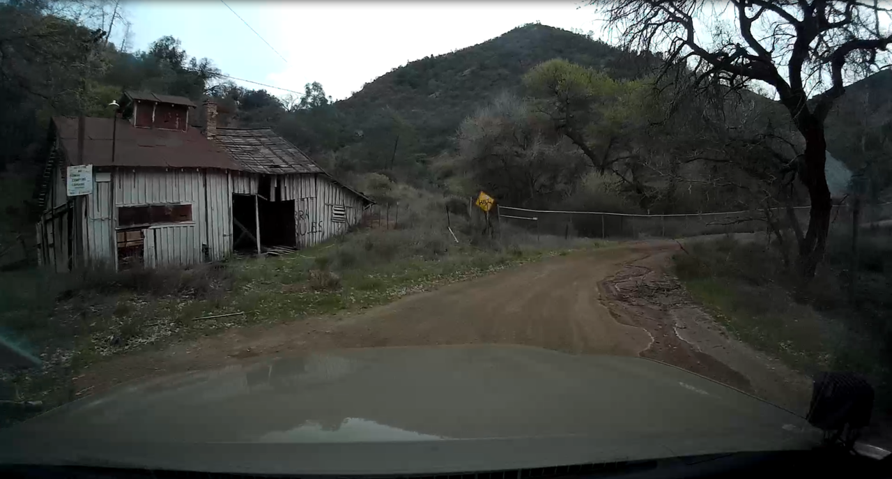
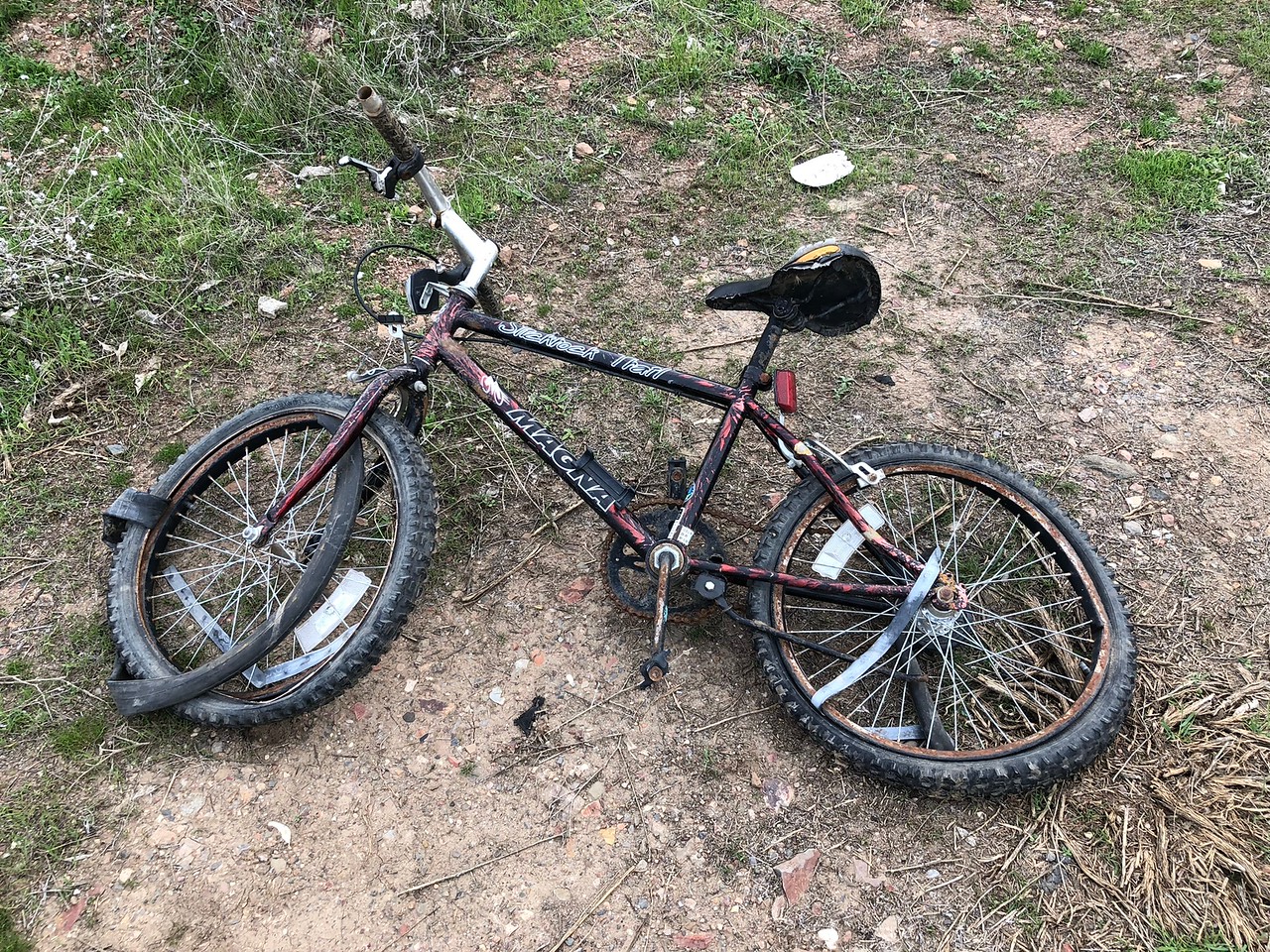
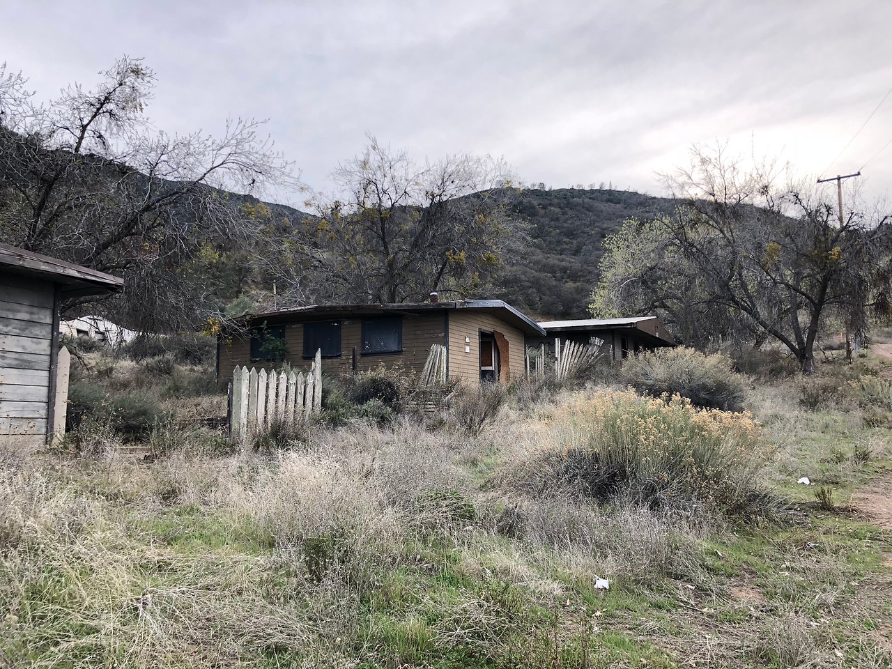
Important Note: The New Idria Mercury Mine is an EPA-designated superfund site, mercury along with other heavy metals is found in levels considered toxic to wildlife and local populations. Much of the remaining buildings are protected by chain-link fences, and there are signs discourage loitering, camping, entering those areas. Make of that what you will.
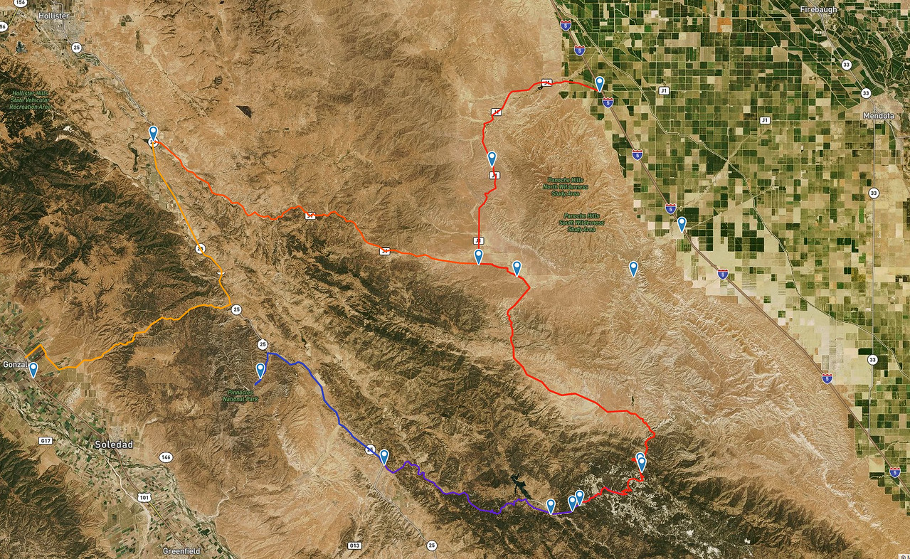
The area of operations. You have Hollister to the NW, Gonzales to the W, King City to the SW, Mendota to the NE and Coalinga to the SE.
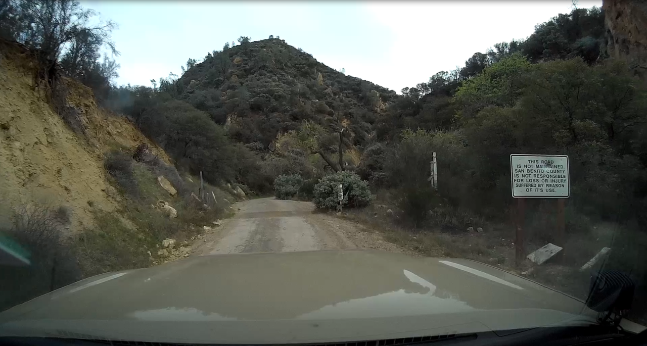
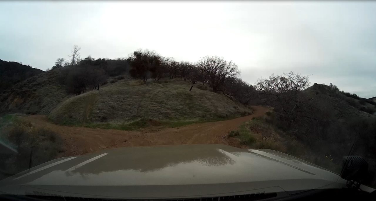
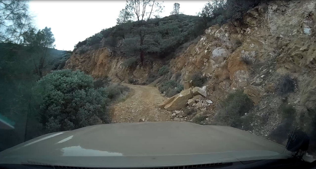
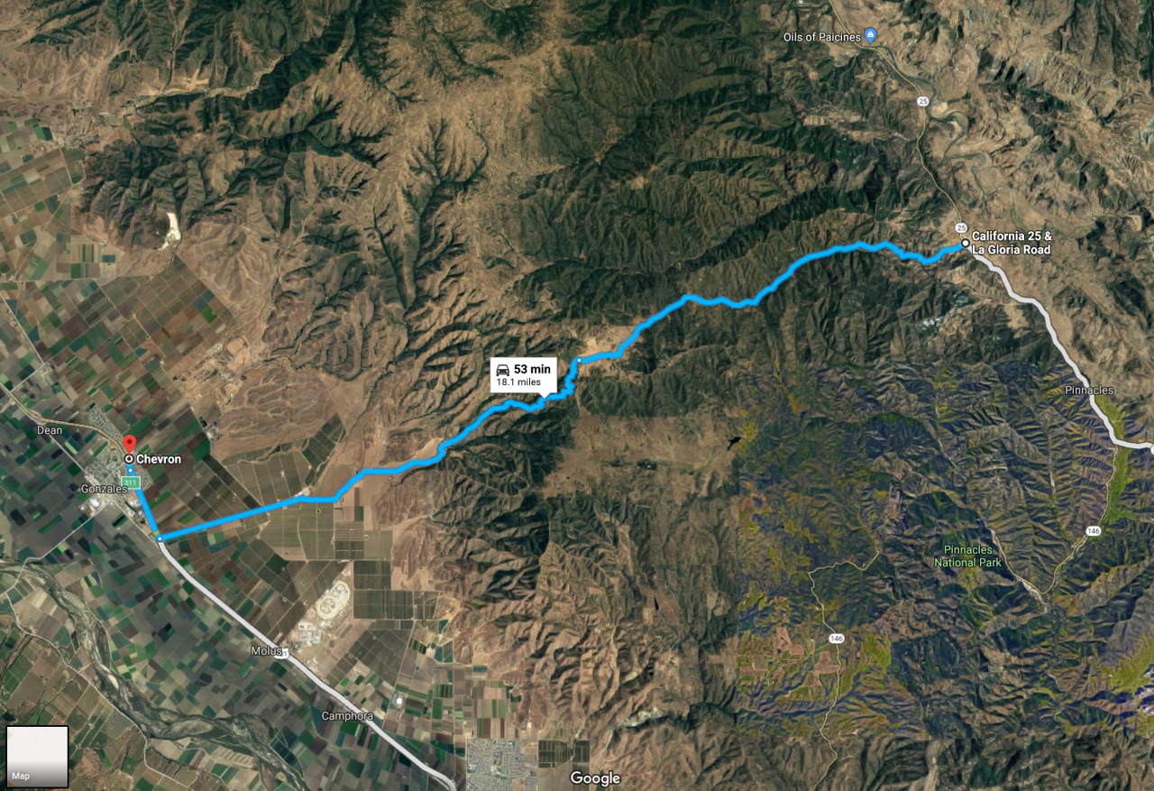
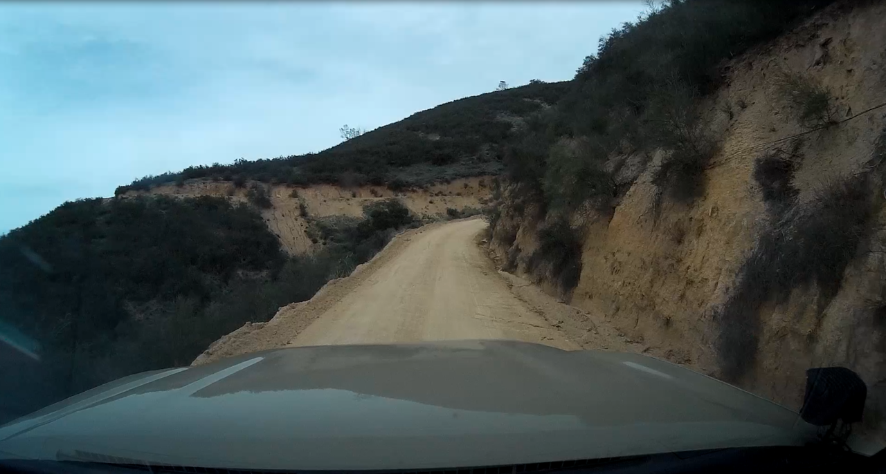
We started our trip in Gonzales, CA, which is about a 1.5 hour drive from San Jose. I wanted to get a little more dirt under our tires and Old La Gloria Road is worth a good 16 miles of dirt. It's a goaty way, and the only way, to traverse the Gabilan Range. Much of it is a single lane dirt road with steep dropoffs on the western half of it. Taken to the East, it eventually deposits you on Airline Hwy/Hwy 25 just north of the Pinnacles National Park.
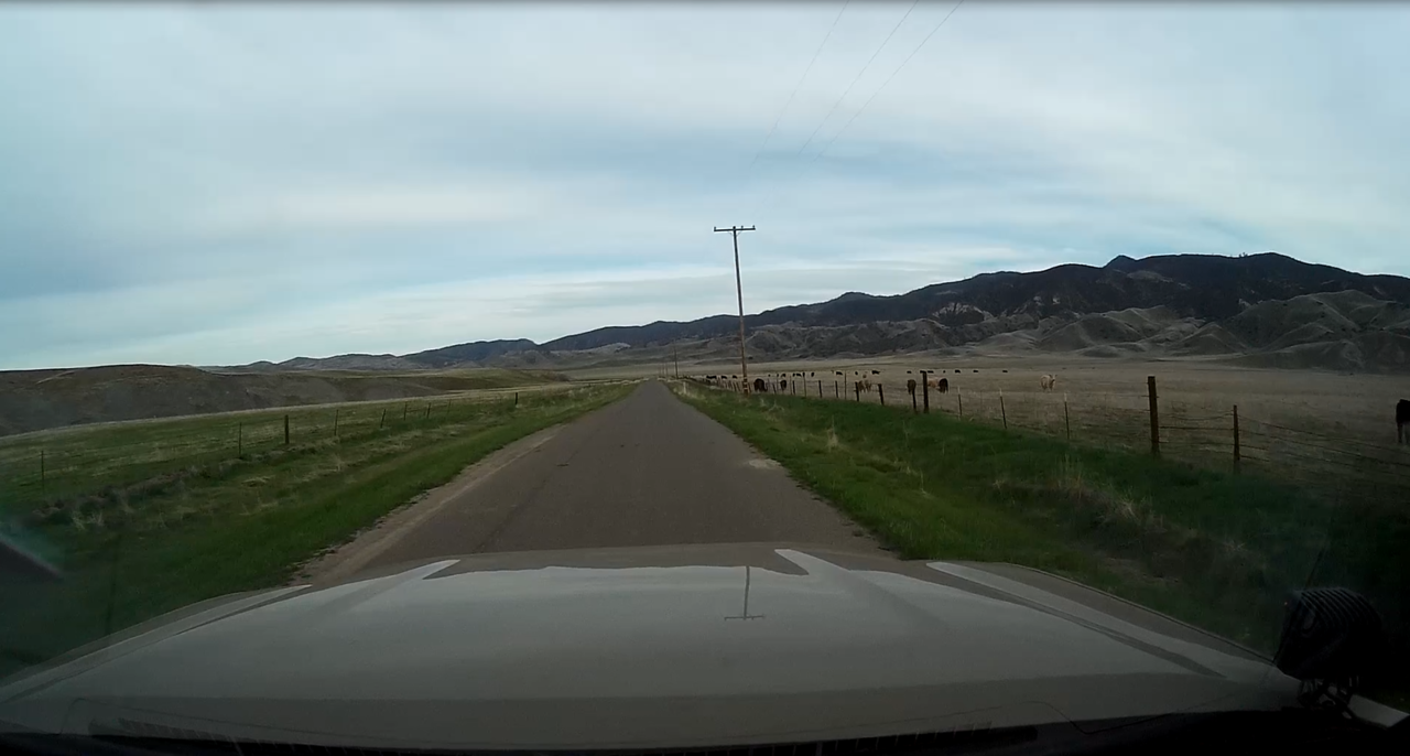
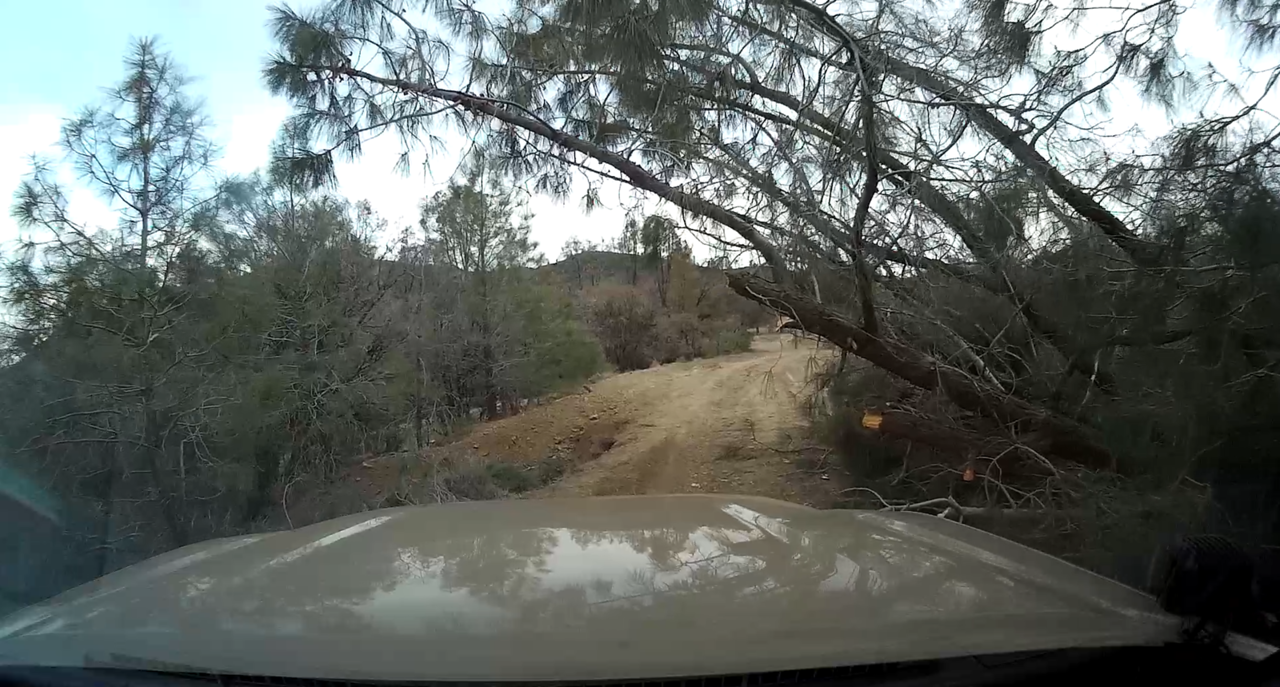
Cockpit view of Old La Gloria Rd.
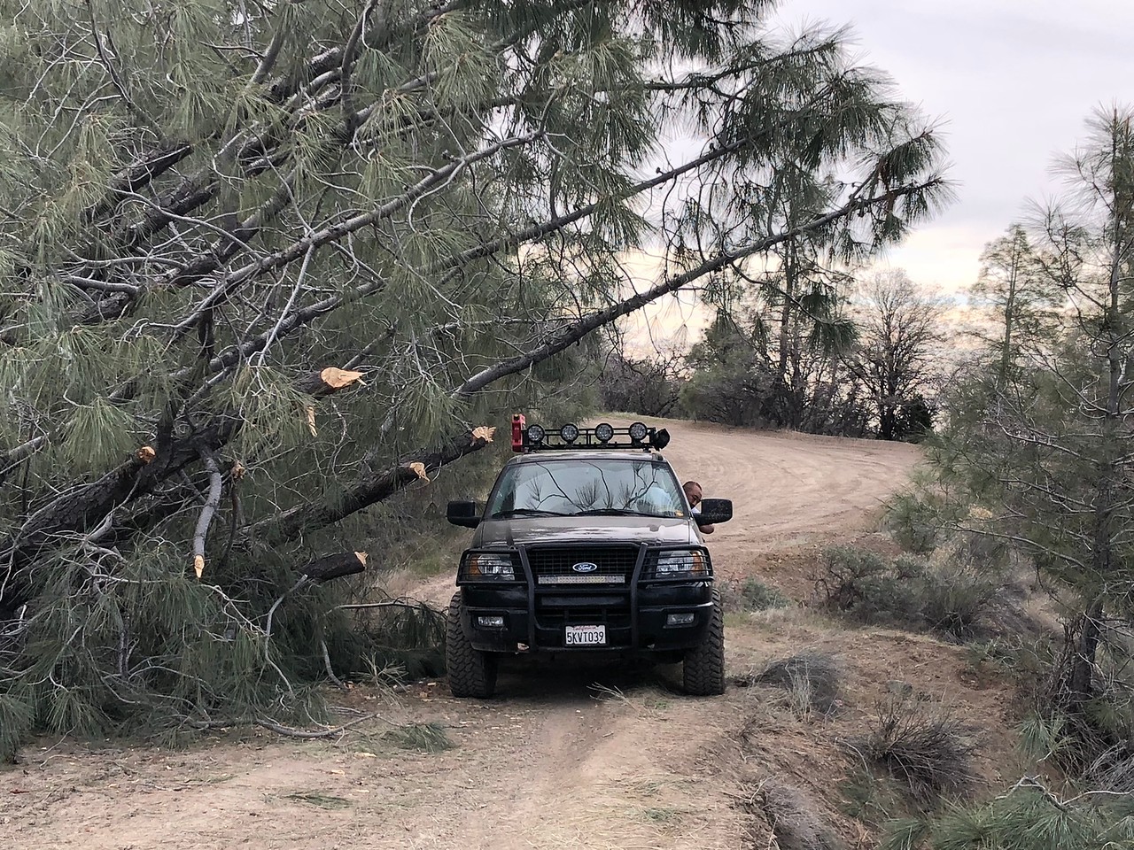
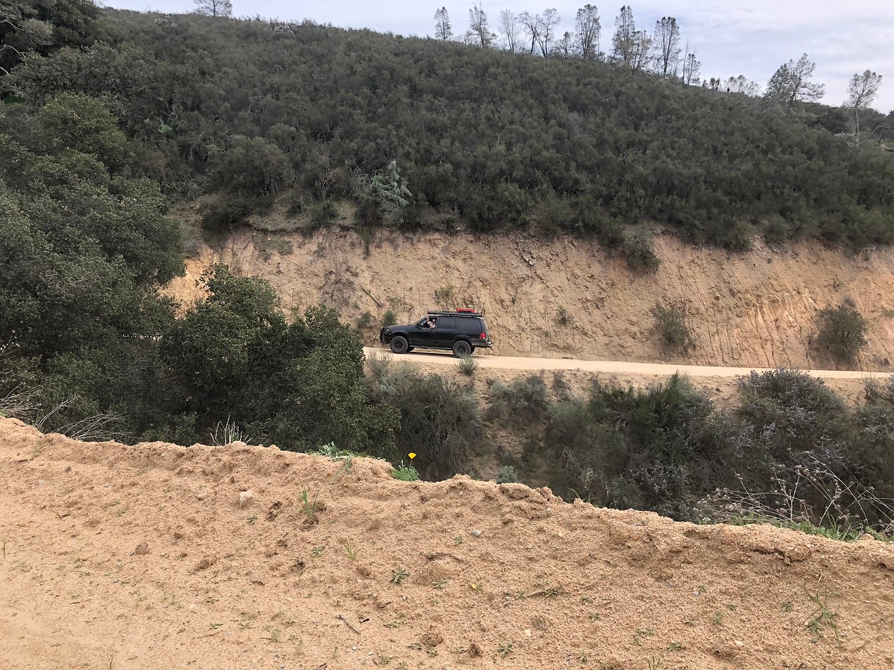
#OB5345 in his Expedition climbing Old La Gloria Rd.
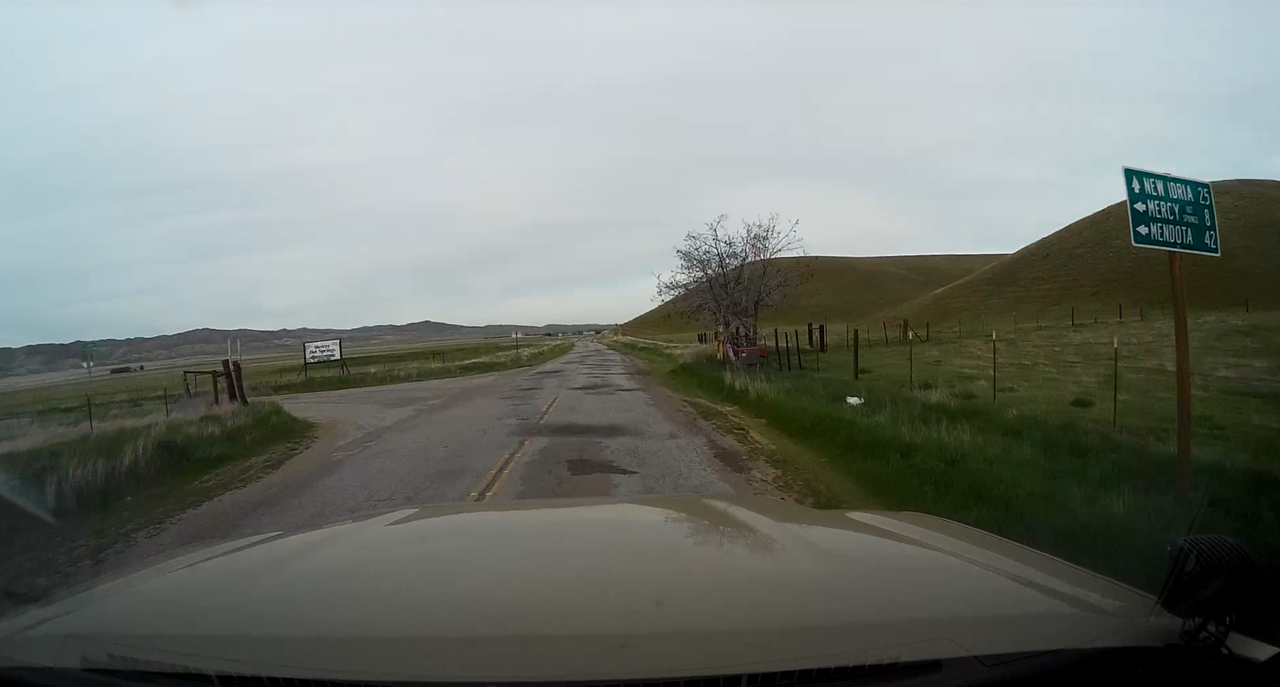
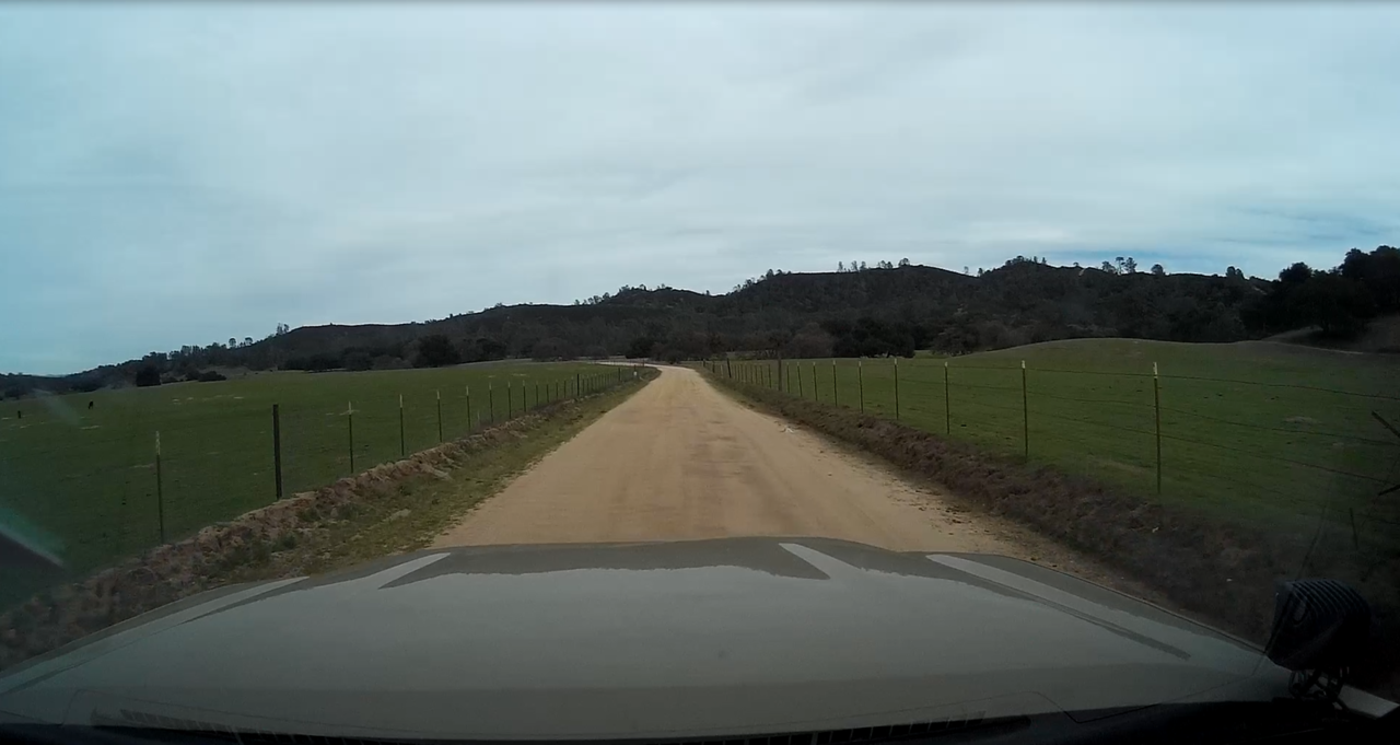
Once you cross the Gabilan Range, OLGRd quickly becomes pastoral with cattle ranches on both sides. The western half of the road was recently graded and smooth as of this writing, the eastern side is slightly washboarded.
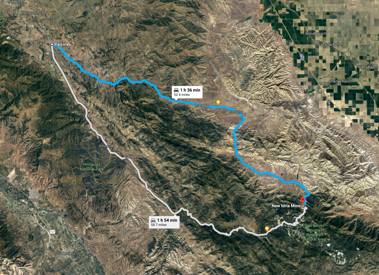
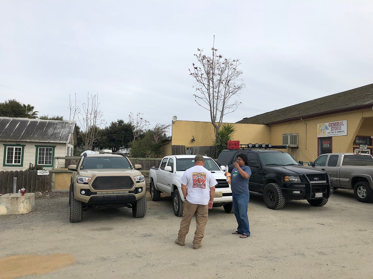
Once at Hwy 25, you have the option of approaching New Idria/CCMA from the north via Panoche Rd, or from the south via Coalinga Rd. We went north to the little village of Paicines with it's one general store the only option for restrooms/food/snacks for probably 30 miles in any direction.
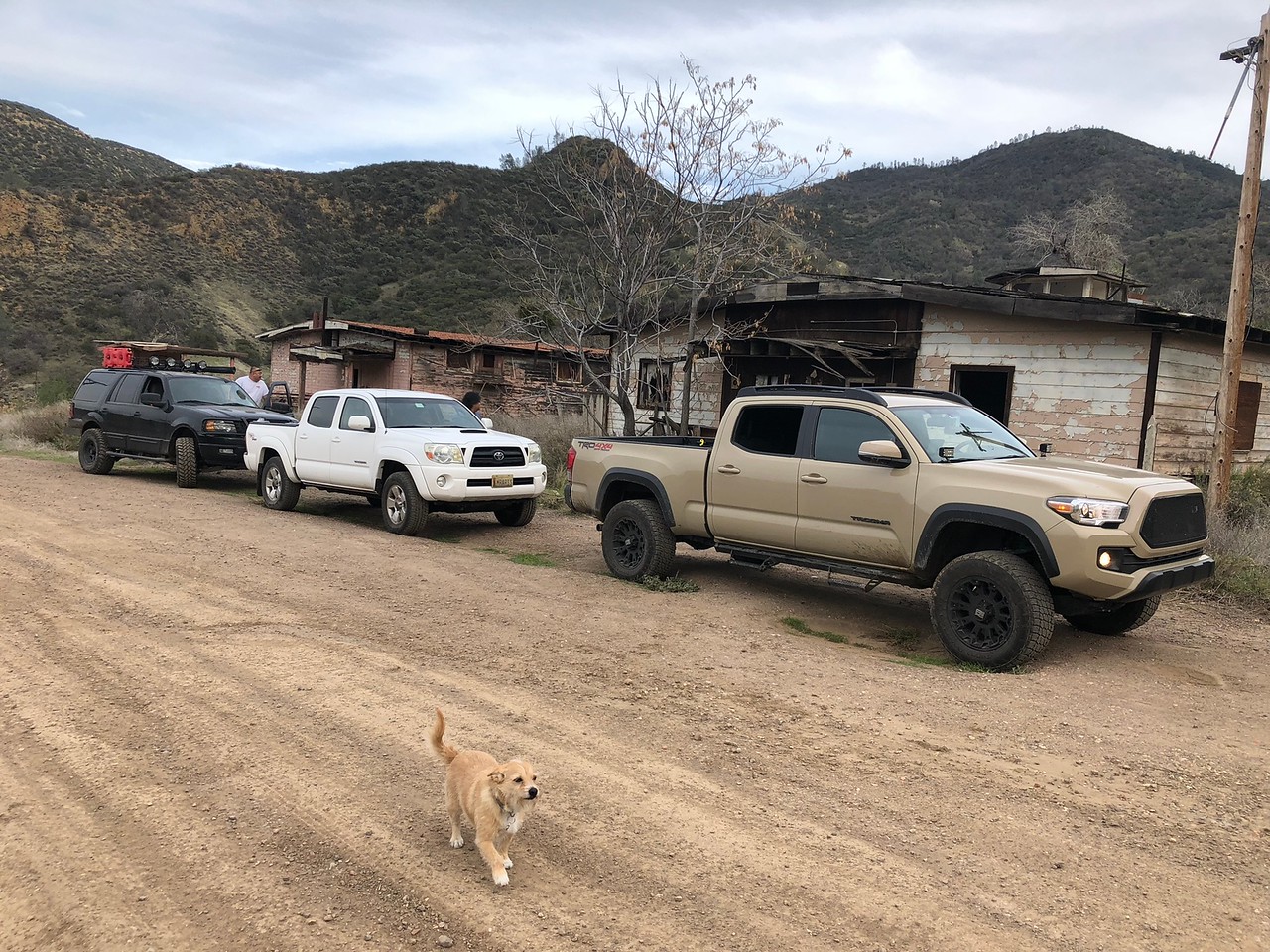
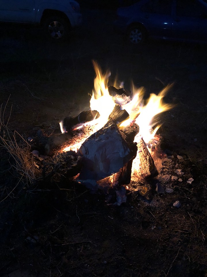
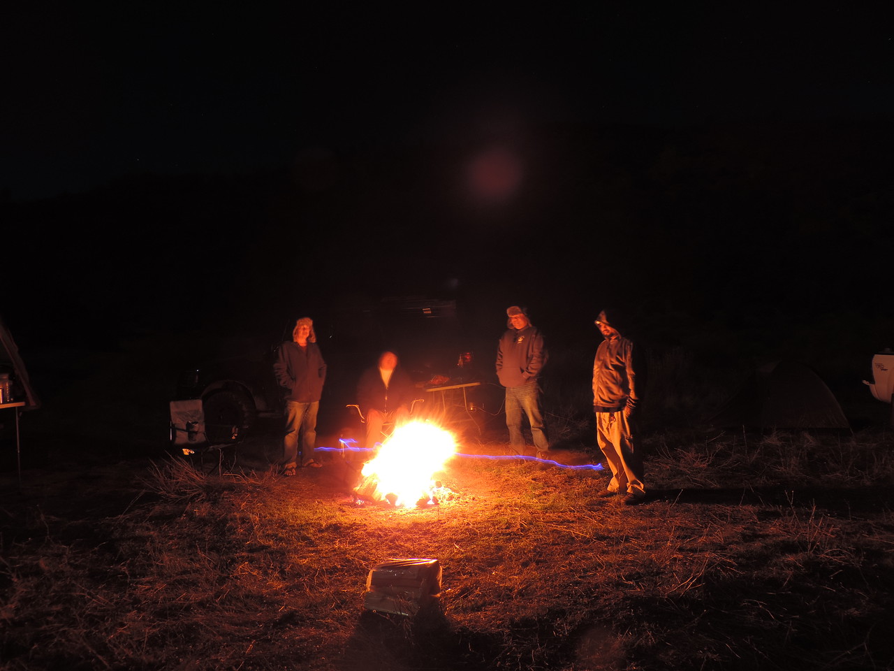
Telling war stories...
I've been wanting to explore down this way for a while so I finally picked a weekend, grabbed a few friends and off we went. Here's a few pictures and some dash cam footage of our trip.
According to Google Maps, it is 100-something miles from South San Jose to New Idria Mine. That translates to about 3 hours of driving under the most recent road conditions we encountered. This trip could be a long day trip from the Bay Area or you could turn it into an easy overnighter like we did, or extend it longer as there are other points of interest in the area, Pinnacles National Park, Mercey Hot Springs, Laguna Mountain Recreation Area among others. If you just want to get some dirt under your wheels or get away from people for a short while, this is an alternative to trekking to the Sierra foothills.
I bundle the two together, New Idria & Clear Creek, as they are pretty much right next door to each other and if you're gonna visit one, you might as well visit the other. They're also, interestingly, two sides of the same coin. The New Idria Mine, once the #2 producer of mercury in the US, is a classic example of how private industry, if unchecked, ruins and pollutes the environment. Clear Creek on the other hand is a case of environmentalists run amok, and using dubious science, shuts down a popular Off-Highway-Vehicle Recreation Area (they're using the same tactics to shut down other OHV areas in California). You can do your own research on the subject, and whether or not you agree or disagree with me, I don't wish to debate the matter.
Important Note: Accessing the Clear Creek Management Area (henceforth: CCMA) requires permits that must be acquired at least 48 hours in advance via: https://www.recreation.gov/wildernessAreaDetails.do?contractCode=NRSO&parkId=72153 You need TWO permits just to traverse the CCMA, the Vehicle Permit (costs $5 + $10 reservation fee) and the Serpentine ACEC Permit (free but has a $10 reservation fee). There are two locked gates controlling access into the CCMA. Without permits and gate codes, your trip ends either at the eastern gate at New Idria or the Western Gate at Coalinga Road. Once you have the permits you can call the Central Coast Field Office of the Bureau of Land Management (831) 582-2200 and you can get the gate codes from them (they will ask you for permit #s).
Important Note: The New Idria Mercury Mine is an EPA-designated superfund site, mercury along with other heavy metals is found in levels considered toxic to wildlife and local populations. Much of the remaining buildings are protected by chain-link fences, and there are signs discourage loitering, camping, entering those areas. Make of that what you will.
The area of operations. You have Hollister to the NW, Gonzales to the W, King City to the SW, Mendota to the NE and Coalinga to the SE.
We started our trip in Gonzales, CA, which is about a 1.5 hour drive from San Jose. I wanted to get a little more dirt under our tires and Old La Gloria Road is worth a good 16 miles of dirt. It's a goaty way, and the only way, to traverse the Gabilan Range. Much of it is a single lane dirt road with steep dropoffs on the western half of it. Taken to the East, it eventually deposits you on Airline Hwy/Hwy 25 just north of the Pinnacles National Park.
Cockpit view of Old La Gloria Rd.
#OB5345 in his Expedition climbing Old La Gloria Rd.
Once you cross the Gabilan Range, OLGRd quickly becomes pastoral with cattle ranches on both sides. The western half of the road was recently graded and smooth as of this writing, the eastern side is slightly washboarded.
Once at Hwy 25, you have the option of approaching New Idria/CCMA from the north via Panoche Rd, or from the south via Coalinga Rd. We went north to the little village of Paicines with it's one general store the only option for restrooms/food/snacks for probably 30 miles in any direction.
Telling war stories...
Last edited: