Nature Photos

Pemigewasset River south of Plymouth, New Hampshire.

21926767445_02a3e23dd0_b.jpg
 
Here are a couple from Monterey and Prewitt Ridge.
 

Attachments

  • media.jpg
    media.jpg
    1 MB · Views: 8
  • media.jpg
    media.jpg
    828 KB · Views: 8
  • media.jpg
    media.jpg
    873.2 KB · Views: 8
  • media.jpg
    media.jpg
    906.4 KB · Views: 9
  • media.jpg
    media.jpg
    981.8 KB · Views: 8
  • media.jpg
    media.jpg
    792.6 KB · Views: 8
  • media.jpg
    media.jpg
    1.7 MB · Views: 8
Just off of Alabama Hills a couple of weeks ago.
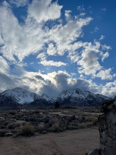
I thought there would be snow in Lone Pine / Alabama Hills area.

The main road to Alabama Hills was closed due to snow, however the base of it did not have snow at the time. We diverted just south of Alabama Hills on Tuttle Creek Road to a campsite, that’s where that pic came from. This pic was taken on March 16th.
 
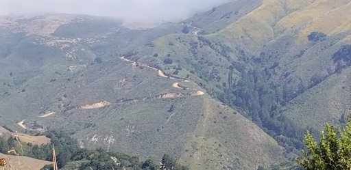
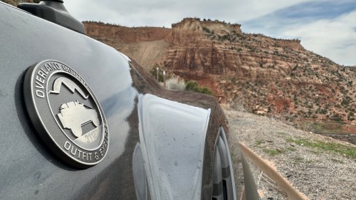
I wish I could remember what town that is in the distance, but I can't. Eastern Colorado.

51233996657_672578bf8e_b.jpg

Just a tip that, hopefully, proves useful:

If you still have the original photo (eg. not a version uploaded to a website like Overland Bound, Instagram, etc) you may be able to extract the geo coordinates from the photo's EXIF data, depending on certain factors like what type of camera you used, do you have EXIF data on/off, etc. If you can get that, its as easy as dumping them into Google Maps.
 
  • Like
Reactions: slowlane