

Pathfinder II
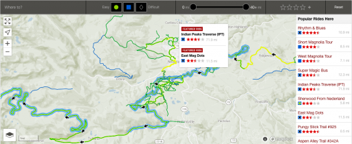
So I fully understand that you can search for just about anything on here by searching tags that are annotated by the user who submitted them. Now just like anyone we sometimes forget things like i.e. (tagging where the route is. Also I understand that most members will post the name of the route or sometimes the location in the title [but if your not from the area, you have no idea where that is], and thirdly if the member also posted the GPS location you could find it that way.) But what I am suggesting is that when the member goes to post a new thread of their overland bound route that a drop down menu of sorts is located for the user to go and select 1. the region and 2. a general location such as i.e. ( Southern California/ Northern California and such) along with that in this thread instead of it showing the most recently posted threads in order it would display them by region broken up into "areas" to make it more user friendly for someone to go find a route they are specifically looking for or just a new place to explore in the area they live. Maybe to take it one step further would be maybe that somehow these routes could be linked to a "Trail" marker on the map lol I don't know how difficult that would be to make happen but at a minimum I think it would be super helpful to have a dropdown menu when submitting routes so that a member could access what they want more readily. Just looking to help!
@Michael
@Michael