Advocate I
Advocate I

Contributor I
That's awesome! Where was that at, if you don't mind me asking?
Advocate I
Advocate I
That's awesome! Where was that at, if you don't mind me asking?
 www.drivingline.com
Advocate I

 several yers a
Advocate I

Member III
Member III


Enthusiast II
15767

Member III
Member III
Expedition Master III
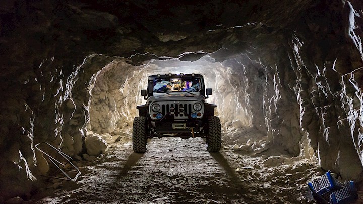
A couple of shots from my Canon A1 film camera and a couple from my phone.
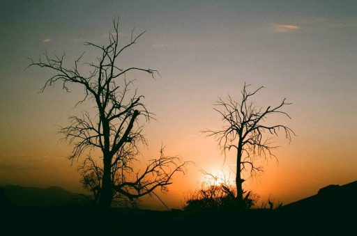
Dos Cabezas overnighter 2 weeks ago.
View attachment 117791
View attachment 117792
View attachment 117793
View attachment 117794
Member III

Member III
I'm hoping to get there in November. I've gone to Dos Cabezas many times, but never hiked out to the Trestle.View attachment 117885
You need to go visit Goat Canyon Trestle in south Anza Borego CA.
Member III
I love old railroad lines. Where they went, why they were built, and why they were abandoned. Seeing old ballast grades sparks my curiosity. For instance heading from Las Vegas, near Baker CA, along I-15, out on the desert flats, you can see where a grade line was once used. Fast forward 8 years later and out at Death Valley Junction where my job took me, is a old ballast line that went North and South with a spur going into the park. It follows Hwy 190W, and terminates in the mountains above the old mine. That same grade line goes thru Death Valley Jct, North to Beatty NV, and South all the way thru and past Baker CA, and onto to the main Union Pacific RR line.
I'm speculating, but once the mine in the park closed, and the open pit mine near Beatty NV closed (near Ryolite ghost town) the tracks were no longer necessary or profitable. If your ever out that way, it would be cool to explore. As a point of interest, the track lines go thru Shoshone CA, and skirt the Dumont Dunes recreation area. That must have taken some engineering in the sand areas.
Very cool photos. I know a couple of OB members have in the past, have posted abandoned and also converted track lines.
Edit:
In fact, the OB members in SW Idaho, have posted videos (UT) of their travels and explorations. In 1 or more, they paralled a abandoned rail line. I believe it was once part of the original trans-continental rail line,....but don't quote me on that.
Member III
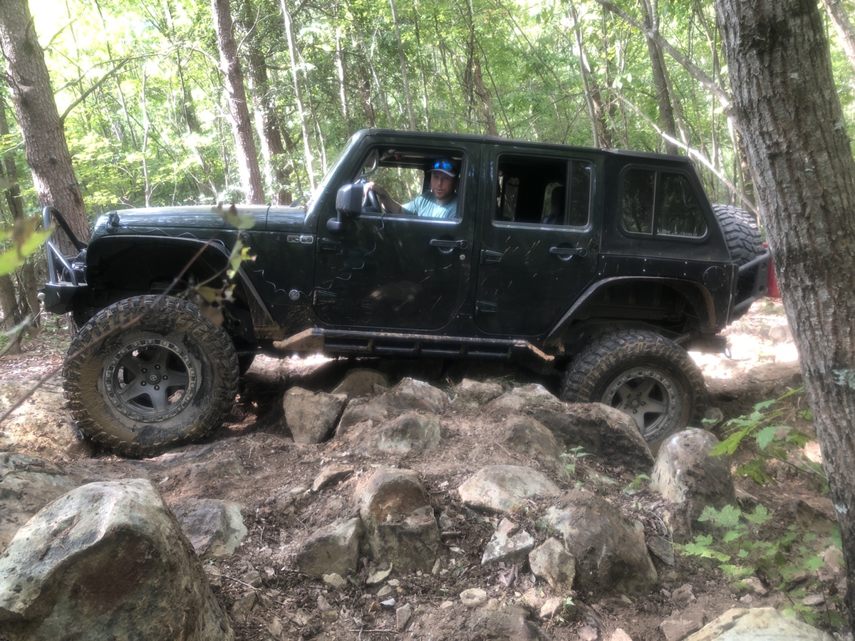
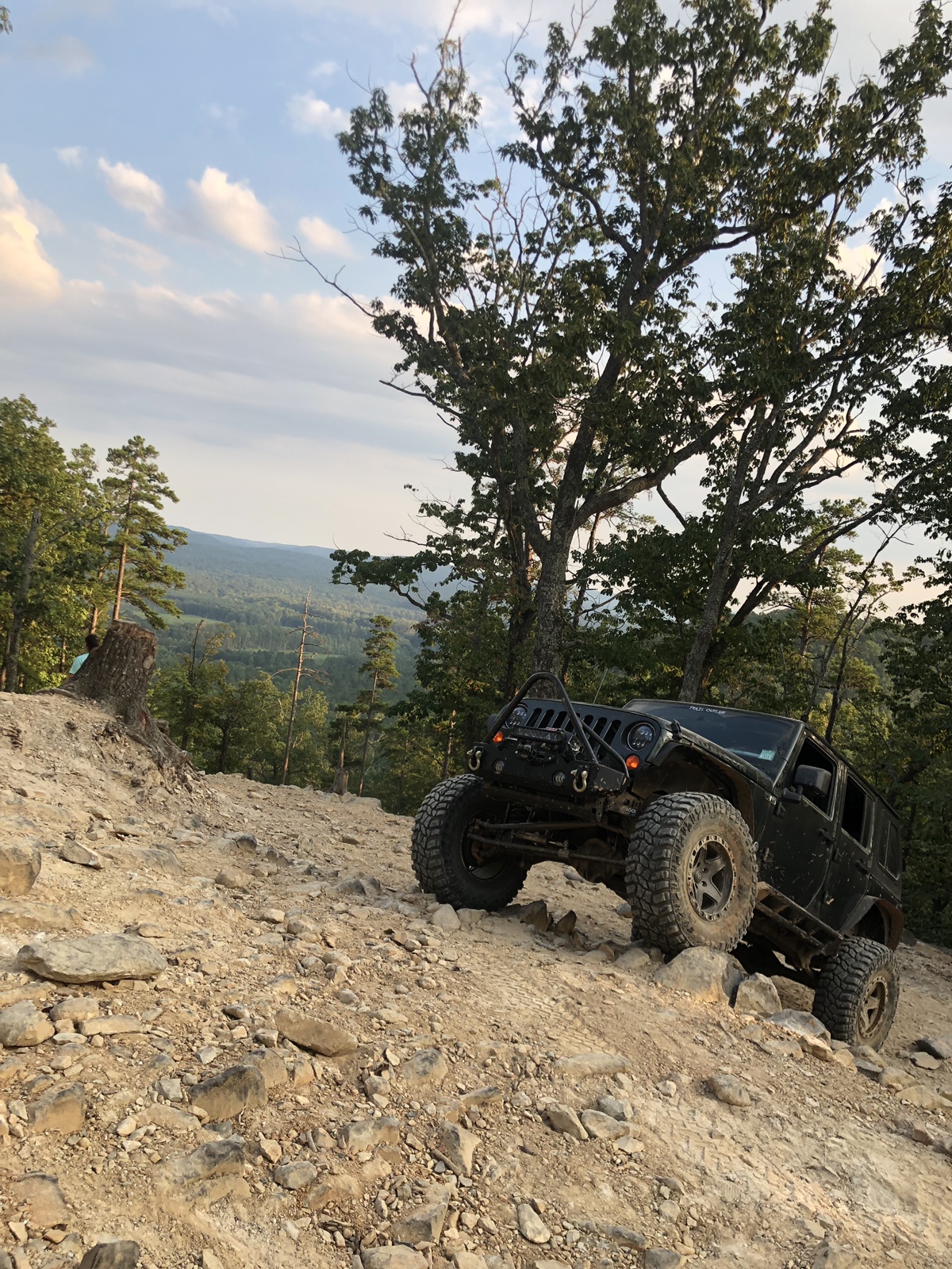
We followed the tracks from the Jacumba exit on mountain bikes. We took alot of pictures and explored all of the tunnels and it took us 8 hours total to make it back to the car,I'm hoping to get there in November. I've gone to Dos Cabezas many times, but never hiked out to the Trestle.
Great photo!
 round trip of about 17 miles.