US Northwest Inland northwest - Day Trip - Latour Peak and Mirror Lake

  • HTML tutorial

Ebbs

Rank VI
Member

Influencer II

3,913
Spokane, WA, USA
First Name
Brandon
Last Name
Eberhardt
Member #

20143

Ham/GMRS Callsign
KE0JBH
Service Branch
Air Force 02-18


It's time to head up into the mountains.
Let's get together and see how high we can get before the snow gets too deep.
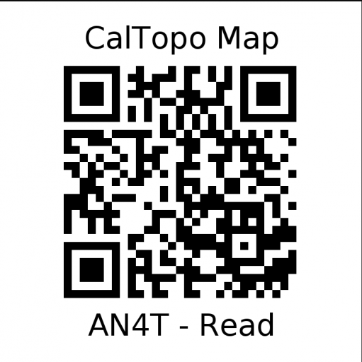
I have a few destinations in the GPX file if we don't make it to the top.
See more below.


Been waiting for a trip, got my GX in late 2019, 2020 was a shit show (medical so I had no time off).. excited to see what's around here and actually start meeting some other like-minded people.
 
  • Like
Reactions: Sandpoint Steve

Sandpoint Steve

US NorthWest Region Local Expert
Member
Member
Supporter

Pathfinder III

4,017
Sandpoint, Idaho
First Name
Steve
Last Name
Marchiando
Member #

11655

Ham/GMRS Callsign
KI7POE
This is a great radio.
www.ebay.com
New Baofeng UV-82 8W 2800mAh Two Way Radio UHF VHF Dual-Band Walkie Talkie+Cable | eBay
1 x Baofeng UV-82 Walkie-talkie. 1 x 2800mAh Battery. Frequency Range: VHF 136~174MHz / UHF 400~520MHz. Dual bands, dual standby, and dual display. Radio function and built-in flashlight add more convenience.
www.ebay.com

You must get the programming cable.
Nice to have is the external microphone and a roof mount antenna and battery eliminator.

Don't really need the extra batteries (they last easily all day or 2)
Or the larger battery.

If you get one you will need to program it. I have helped multiple people get this programed. Super easy and makes the radio compatable with FRS, GMRS, and HAM.

Please call me before you buy.

I'm available most evenings to talk Overlanding or Radio stuff.


-Steve
 
  • Like
Reactions: Dustin S. Godtfring

Bodge Garage

Rank V
Member
Investor

Enthusiast III

2,307
Millwood WA
First Name
Kris
Last Name
Sss
Member #

11737

Ham/GMRS Callsign
KI7YI
Service Branch
Firefighter/EMT
I so marked this as "going" until my wife reminded me we will be in Leavenworth that weekend. I am dying to hit some dirt trails. Thanks for putting this together. Hope to see you all the next one.
Kris
 
  • Like
Reactions: Sandpoint Steve

Ebbs

Rank VI
Member

Influencer II

3,913
Spokane, WA, USA
First Name
Brandon
Last Name
Eberhardt
Member #

20143

Ham/GMRS Callsign
KE0JBH
Service Branch
Air Force 02-18
I downloaded the gpx for but it download a . Bin file. How do I get it back to .gpx?
 

Sandpoint Steve

US NorthWest Region Local Expert
Member
Member
Supporter

Pathfinder III

4,017
Sandpoint, Idaho
First Name
Steve
Last Name
Marchiando
Member #

11655

Ham/GMRS Callsign
KI7POE
I'll look at the file. Try changing the file extension.
 
  • Like
Reactions: Ebbs

Ebbs

Rank VI
Member

Influencer II

3,913
Spokane, WA, USA
First Name
Brandon
Last Name
Eberhardt
Member #

20143

Ham/GMRS Callsign
KE0JBH
Service Branch
Air Force 02-18
I'll look at the file. Try changing the file extension.
That worked! I almost tried that from the start but wasn't sure how to on my new tablet, and hadn't heard of a .bin file and everything I read said I'd need a third party app to use it. Which I want real fond of.
 
  • Like
Reactions: Sandpoint Steve

Sandpoint Steve

US NorthWest Region Local Expert
Member
Member
Supporter

Pathfinder III

4,017
Sandpoint, Idaho
First Name
Steve
Last Name
Marchiando
Member #

11655

Ham/GMRS Callsign
KI7POE
Just a reminder,
Fueled up and ready to roll at 9:00.
Screenshot_2021-05-22-07-38-57-800~2.jpeg
 
  • Like
Reactions: Ebbs

Sandpoint Steve

US NorthWest Region Local Expert
Member
Member
Supporter

Pathfinder III

4,017
Sandpoint, Idaho
First Name
Steve
Last Name
Marchiando
Member #

11655

Ham/GMRS Callsign
KI7POE
Great Trip!
Thanks to all that came out and drove around in the woods with me.
Here is a link to the few photos that I took.
Latour Peak ( Steve's Photos)

Software I was running/ and do run.
Maps.me MAPS.ME – Offline maps, travel guides & navigation - Apps on Google Play
BackCountry Navigator TOPO GPS PRO BackCountry Navigator TOPO GPS PRO - Apps on Google Play ( paid version)
Cal topo for making tracks and planning at home CalTopo - Backcountry Mapping Evolved

Jake and Scott made it up a couple peaks after we left them. :) for them, :( wish I could have gone too, maybe next time.
I'll try to pull gps tracks later to see what I ended up recording.

-Steve