FALL FOLIAGE, VISTAS AND 4X4 HC TRAILS
Thought I would share a route I take in the fall and early summer to check out the beauty of PA.
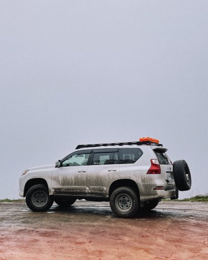
I have had both my RAM 2500 and Jeep Cherokee on these trails. So they are Full size and cute ute friendly. Expect pinstripes on full size and Poe Paddy drive will take a bit of skill in a cute Ute.
There should be no need for recovery gear...but I highly recommend a full size spare and tire plug kit.
Obviously the autumn colors will be all around you...but this also hits all the vistas and four of the 4x4 High Clearance Trails...in what is probably the most popular part of BESF...the area south of Route 45.
This starts at Burkholder's Country Market. They have a great covered parking area, fuel and groceries. It is a great place to start any meet up, group ride or adventure in BESF.
This will also take you past some of the motorized sites...including the very popular site 47.
You will first come to Bell's Majestic Vista. Then as you turn onto pine swamp road you will pass site 42 and head to Chocolate Drop Vista.
After there you will come to the entrance road to Poe Valley state park as you head to Poe Paddy SP (restrooms and camping) and begin the 4x4 HC trail Poe Paddy Dr. Here you will find 3(4) vistas. Ravens Knob, Ingleby View and Penn's View.
You will then head back to Siglerville-Millheim pike passing sites 41 and 44 and a vista that i can not remember the name of.
You will then head into 2 more 4x4 HC trails. Flat Hollow RD and Strong's Mtn Rd.
Then you will come to Bear Gap Picnic area (restrooms and picnic tables).
You will then head up to Treaster Valley Vista. There is a geocache here if anyone does that. And then you will head past site 47.
Then the last 4x4 HC trail, Knob Ridge Rd, will take you to the area of sites 64, 65 and 66
And finally, head out to Reed's Gap SP (restrooms, picnic tables, camping)
Just thought I would share the route.
Fall Foliage, Vistas and 4x4 HC Trails
From 107 Market Dr to Reeds Gap State Park
2 hr 28 min (53 mi)

 maps.app.goo.gl
I did this on Google maps so everyone can use it. Purple Lizard Maps would be a great idea to get...or get the day use map from the forest office or download on your phone.


Thought I would share a route I take in the fall and early summer to check out the beauty of PA.
I have had both my RAM 2500 and Jeep Cherokee on these trails. So they are Full size and cute ute friendly. Expect pinstripes on full size and Poe Paddy drive will take a bit of skill in a cute Ute.
There should be no need for recovery gear...but I highly recommend a full size spare and tire plug kit.
Obviously the autumn colors will be all around you...but this also hits all the vistas and four of the 4x4 High Clearance Trails...in what is probably the most popular part of BESF...the area south of Route 45.
This starts at Burkholder's Country Market. They have a great covered parking area, fuel and groceries. It is a great place to start any meet up, group ride or adventure in BESF.
This will also take you past some of the motorized sites...including the very popular site 47.
You will first come to Bell's Majestic Vista. Then as you turn onto pine swamp road you will pass site 42 and head to Chocolate Drop Vista.
After there you will come to the entrance road to Poe Valley state park as you head to Poe Paddy SP (restrooms and camping) and begin the 4x4 HC trail Poe Paddy Dr. Here you will find 3(4) vistas. Ravens Knob, Ingleby View and Penn's View.
You will then head back to Siglerville-Millheim pike passing sites 41 and 44 and a vista that i can not remember the name of.
You will then head into 2 more 4x4 HC trails. Flat Hollow RD and Strong's Mtn Rd.
Then you will come to Bear Gap Picnic area (restrooms and picnic tables).
You will then head up to Treaster Valley Vista. There is a geocache here if anyone does that. And then you will head past site 47.
Then the last 4x4 HC trail, Knob Ridge Rd, will take you to the area of sites 64, 65 and 66
And finally, head out to Reed's Gap SP (restrooms, picnic tables, camping)
Just thought I would share the route.
Fall Foliage, Vistas and 4x4 HC Trails
From 107 Market Dr to Reeds Gap State Park
2 hr 28 min (53 mi)
Google Maps
Find local businesses, view maps and get driving directions in Google Maps.
I did this on Google maps so everyone can use it. Purple Lizard Maps would be a great idea to get...or get the day use map from the forest office or download on your phone.