Member III
I was having difficulty deciding which of the 2 to do, the New Mexico Backcountry Discovery Route, Enchanted Rockies trail, or the Shadow of the Rockies trail. I decided I certainly wanted to do the NMBDR heading north (after the urging of @Downs ) and I would decide the way south sometime during the journey. I allotted 3 weeks for the journey and ended up taking only 2.
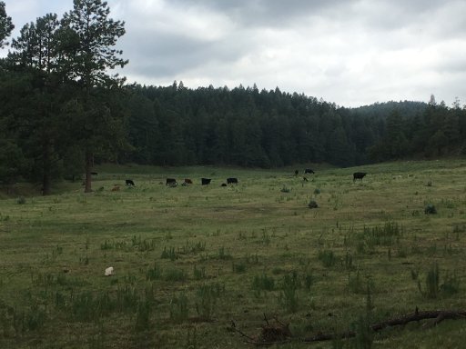
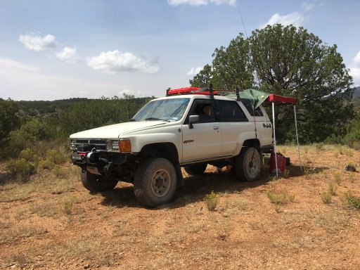
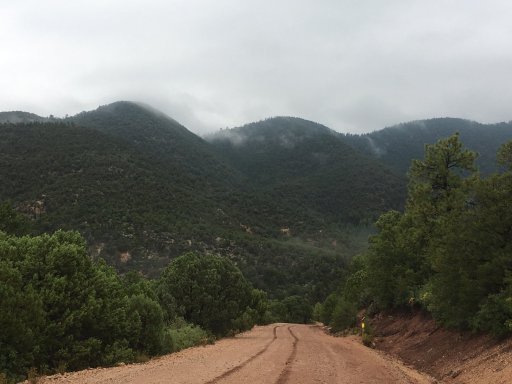
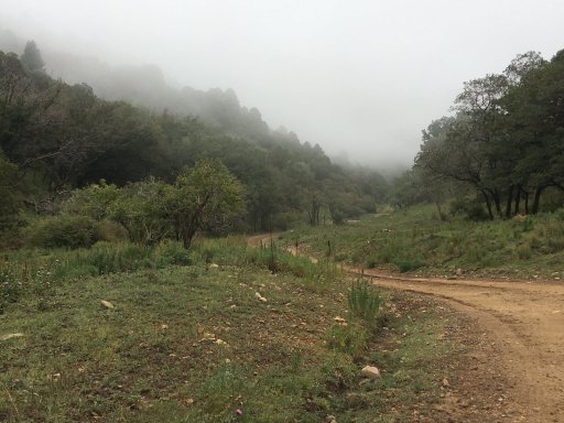
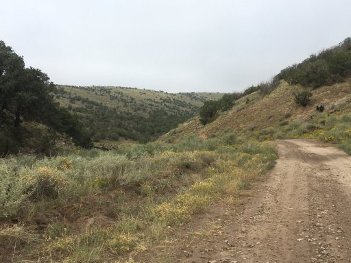
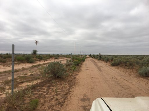
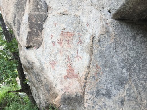
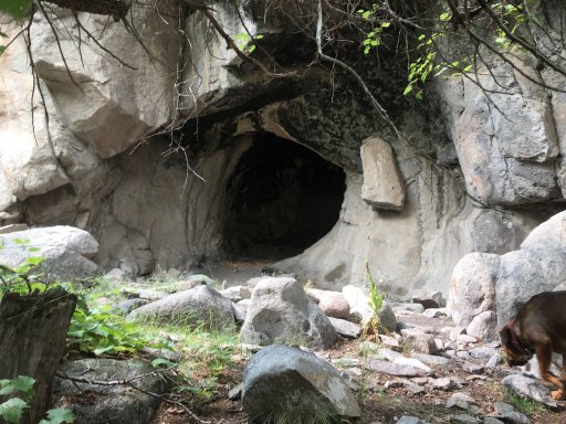
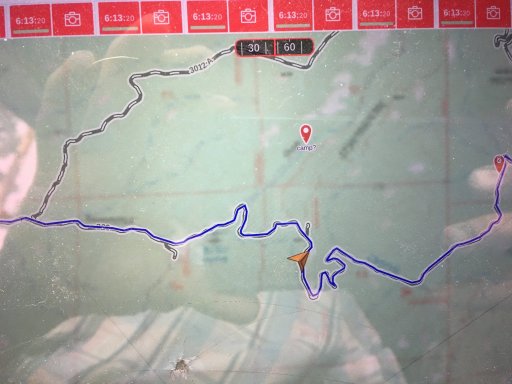
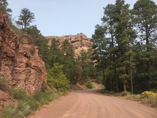
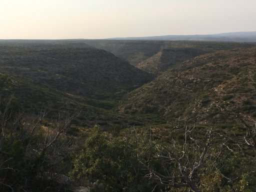
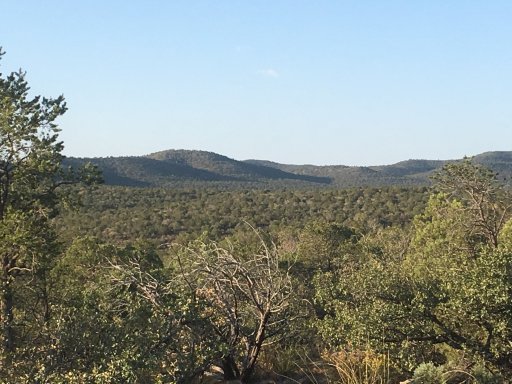
I left DFW and headed west. I started the adventure out at Carlsbad instead of Dell city. I crossed a bunch of BLM land along Dark Canyon road and set up camp at the end of some forest service road on a peak.
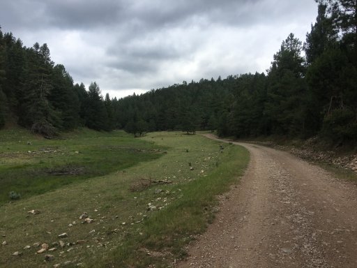
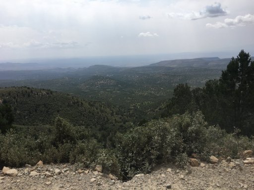
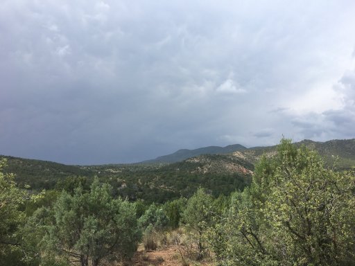
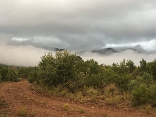
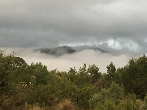
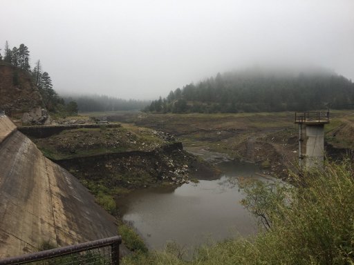
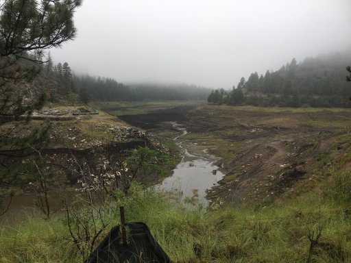
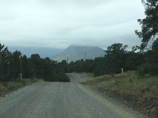
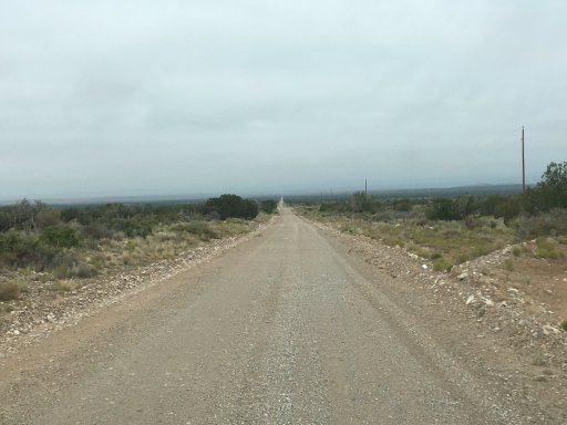
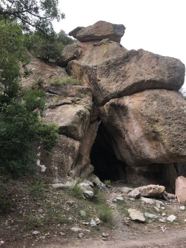
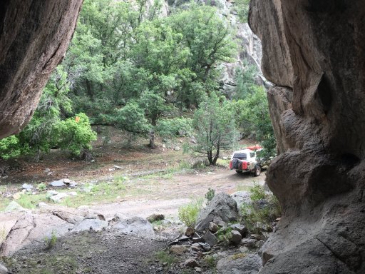
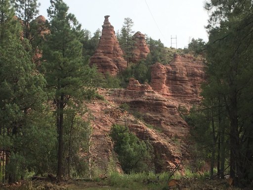
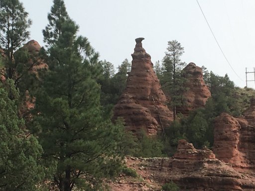
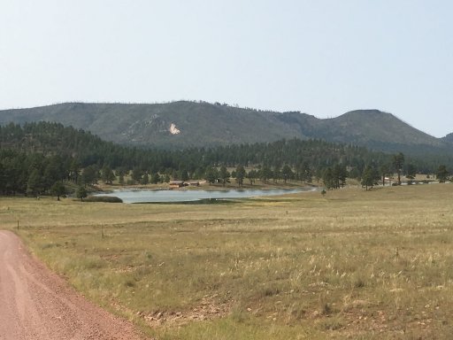
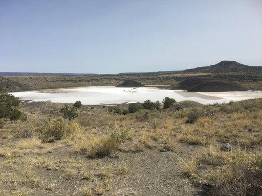
Views of my first nights camp.
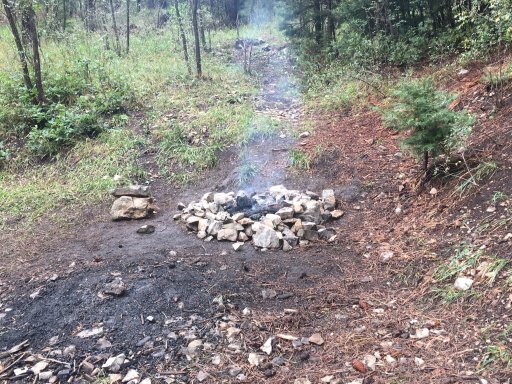
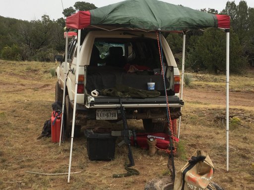
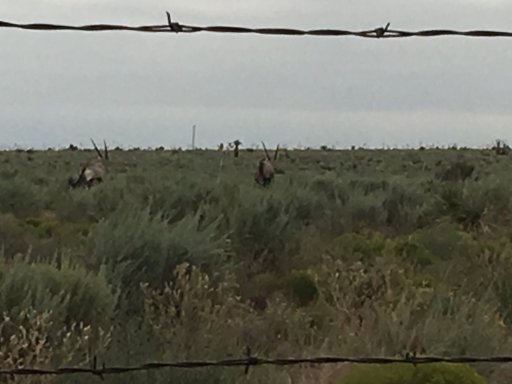
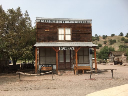
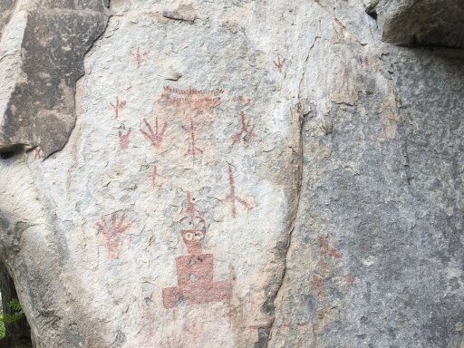
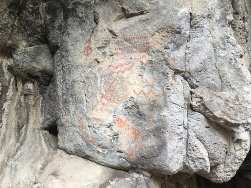
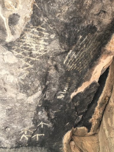
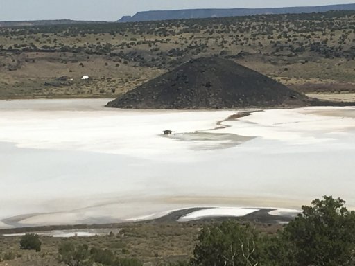
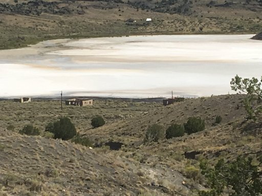
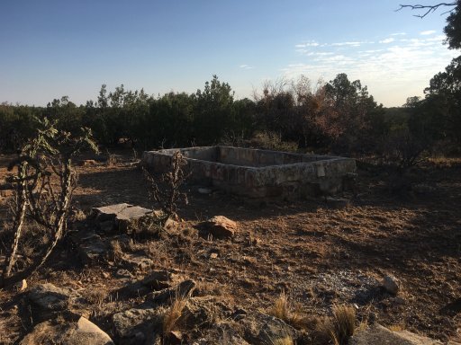
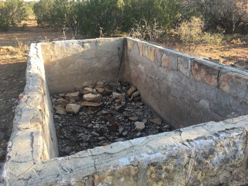
Not sure what this used to be but it was on the FS road I camped on.
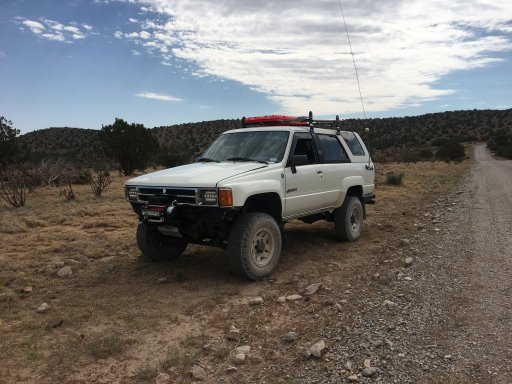
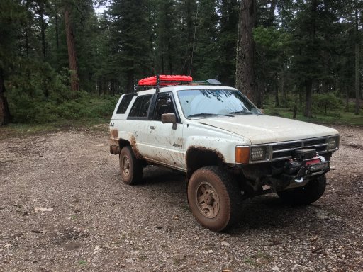
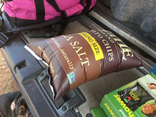
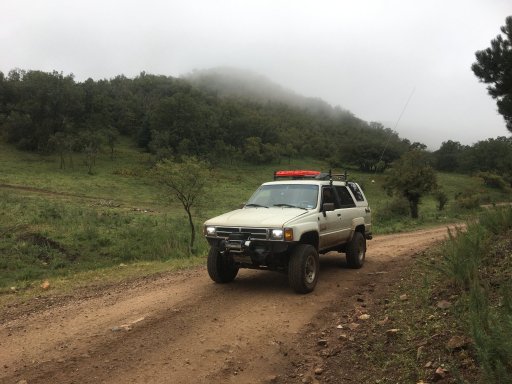
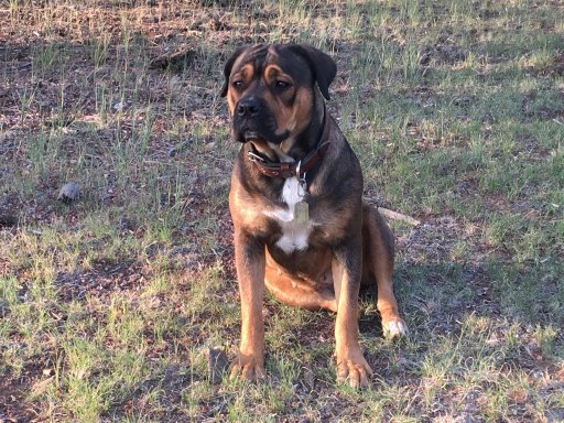
My trusty copilot for the adventure.
more to come....
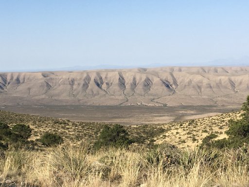
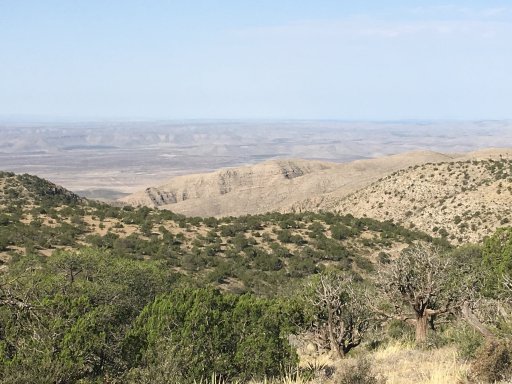
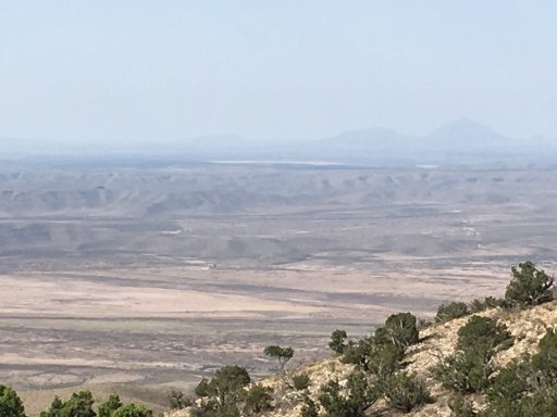
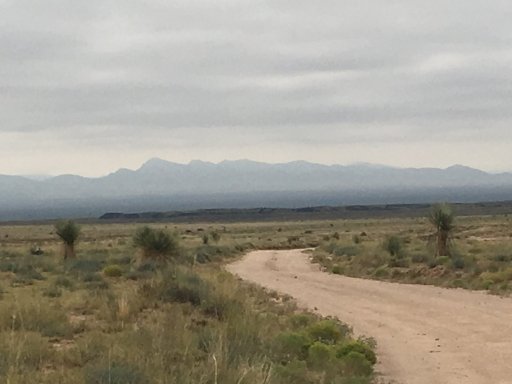
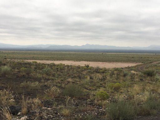
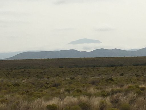
I left DFW and headed west. I started the adventure out at Carlsbad instead of Dell city. I crossed a bunch of BLM land along Dark Canyon road and set up camp at the end of some forest service road on a peak.
Views of my first nights camp.
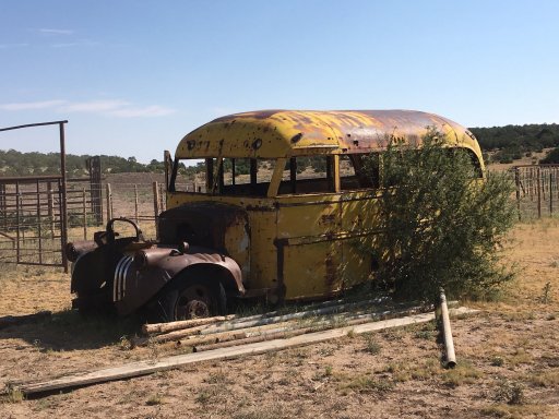
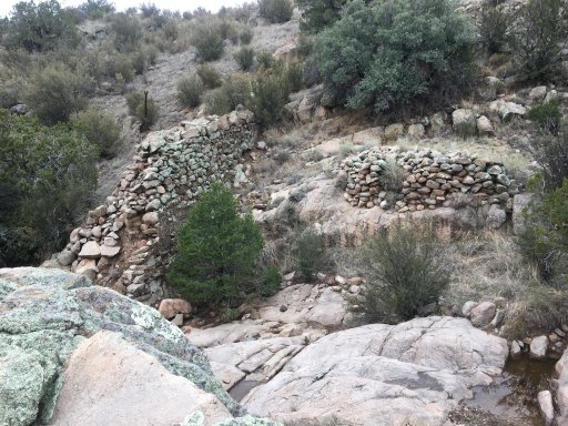
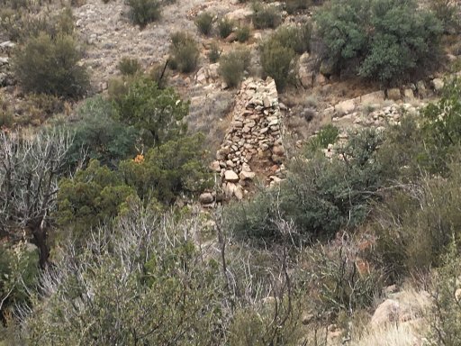
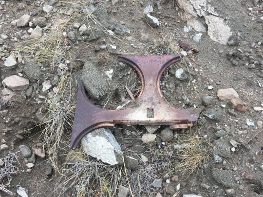
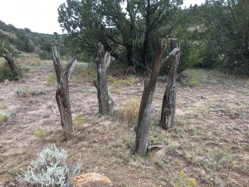
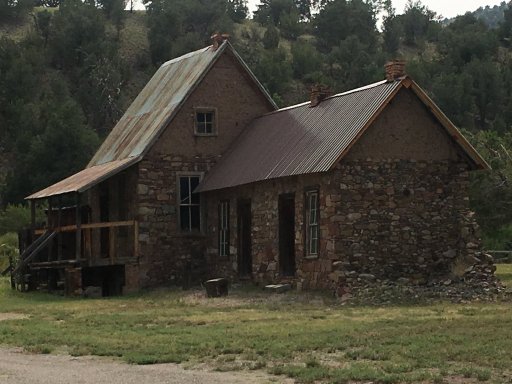
Not sure what this used to be but it was on the FS road I camped on.
My trusty copilot for the adventure.
more to come....
Last edited: