2 weeks on the NMBDR, ERT, and some wandering.

  • HTML tutorial

Offroadnutz

Rank VI
Launch Member

Member III

3,257
Texas/Missouri
First Name
Steven
Last Name
M
Member #

21045

Good trout fishing there, no motorized boats allowed on any of the lakes in NM in that region.
Speaking of that, I saw signs on lots of creeks saying either red chili water or green chili water. I also saw trout in all the streams I camped by.
 

Offroadnutz

Rank VI
Launch Member

Member III

3,257
Texas/Missouri
First Name
Steven
Last Name
M
Member #

21045

The Navajo reservation was on lock down so I had to detour north On 36 through the Zuni reservation up to Gallup. Being crunched for time I found a small piece of forest service land off of 40 to call it a night.
F728557E-442A-41E3-8C44-B4226087BF06.jpeg
0602AD0D-BCF0-4201-91F7-030E127CFCB4.jpeg
The next morning I took the short drive to Grants and went to Bar S RV park. I decided to do a zero day and get a proper shower and do laundry. The lady was real nice and obviously deals with overlanders occasionally. She put me in a spot right next to all the amenities so I didn’t have a long way to walk and be to far from my dog. After I got everything done I got anxious being around all the people so I split and headed back on the NMBDR.
628AA449-E75C-4C55-B450-FBDFEF2A3A27.jpeg
2363B7F7-DF30-46B5-9467-FB744BA04D05.jpeg
more to come...
 

Sparksalot

Rank VI
Launch Member

Influencer III

4,312
Bastrop County, TX, USA
First Name
Rex
Last Name
Drake
Member #

19540

Ham/GMRS Callsign
KI5GH
Service Branch
Air Force
My Gaia started acting up as soon as I entered Chloride canyon. The background got blurry and didn’t correct itself till I left. Anyone experience this before?
View attachment 170618
Did you save the Gaia maps to your device before you lost the cell signal?
 
  • Like
Reactions: Offroadnutz

Sparksalot

Rank VI
Launch Member

Influencer III

4,312
Bastrop County, TX, USA
First Name
Rex
Last Name
Drake
Member #

19540

Ham/GMRS Callsign
KI5GH
Service Branch
Air Force
Yes everything is pre loaded and working off my garmin glo. It was working correctly the day before as I was route finding. And worked the day after. Just not in the canyon for some reason.
That’s weird. I’m hoping to get to Chloride canyon next year, the explore the Gila NF too. I’ll have to keep this in mind.
 

Offroadnutz

Rank VI
Launch Member

Member III

3,257
Texas/Missouri
First Name
Steven
Last Name
M
Member #

21045

As I was going through the Cibola nf north of Grants, some prick came flying down the mountain and ran me off the road. Didn’t stop and kept on going. No damage to my truck, just thankful it wasn’t on a narrow pass where someone would have been injured.
Continuing north from the Cibola you enter a bunch of private land and then blm land. This area is a true badlands landscape with quite a few sights to see.
B5485032-2BFE-4E91-A60A-13CF38DAED2E.jpeg
70EAAD02-DECB-41E7-B650-71BED1E264EE.jpeg
723730D3-5971-4C74-B86A-A7D1C8AE6B1B.jpeg
This rock structure really stood out in the landscape so I had to stop and check it out.
3B616B67-85A7-48C5-828A-D0387F1EB6ED.jpeg
I found these interesting inscriptions on the north side. There is a water source real close so I could picture travelers stoping for a drink and taking shade under the north of the rock.
7A366334-0D97-47E0-8B7D-5EA1B8FA5FAE.jpeg
8C579C09-3D5B-4DA8-8A45-EA4F20FE4E5F.jpeg
05FB3779-A811-4F21-959E-0706E8C47AC7.jpeg
There were others with the latest date being 1960.
 

Offroadnutz

Rank VI
Launch Member

Member III

3,257
Texas/Missouri
First Name
Steven
Last Name
M
Member #

21045

Saw this weird structure in El Rito. Couldnt tell what it’s supposed to be.
AC843E4F-D62C-457B-BFC4-537E6EFDFFD2.jpeg
Found this really cool campsite n the Carson NF.
AD875704-6CB3-4264-9EB0-10673EEA1359.jpeg
6062AB56-AA7D-4390-A2E2-2A8396D4A4CC.jpeg
Unfortunately I didn’t get to stay here long. My Spot GenX messenger was malfunctioning.It froze up and wouldn’t do anything and wouldn’t even turn off. This wouldn’t fly for my wife cause I have to check in or she will flip, so I had to drop down to the nearest town for cell signal. Got ahold of Spot and the unit just needed a hard reset. I should have looked into this before to better understand the unit.
 

Offroadnutz

Rank VI
Launch Member

Member III

3,257
Texas/Missouri
First Name
Steven
Last Name
M
Member #

21045

After a long trip I finally made it to Antonio Colorado and the end of the NMBDR.
This is the Cumbers and Toltec railroad station. Last time I was here I was 13 years old.
127122EA-7FA9-4C34-8697-486DA123966E.jpeg
This is “Cano Castle” in Antonio. Quite a weird structure. I’m told the guy is equally as weird. He says Jesus lives there.
50AB037D-C2EA-407B-BB3F-DAF0070C9699.jpeg
C08CF99C-9335-4BCE-8987-0116C2F863E1.jpeg
5787C7E5-526A-4239-BBD5-C2B82AE3FDFE.jpeg
Info on return trip to come...
 
Last edited:

Offroadnutz

Rank VI
Launch Member

Member III

3,257
Texas/Missouri
First Name
Steven
Last Name
M
Member #

21045

From Antonio I headed to the San Luis valley to some blm land to camp and determine my next course of travel.
EF0D3FC6-5B8E-40CB-BA25-2380BB0EA396.jpeg
Some views from camp. Still see snow cap on some places.
323118D6-6CF8-4829-9ADF-0AC996E458B5.jpeg
4D8CDE49-811D-43DE-B60E-E518D7DF37F0.jpeg
Since it had recently snowed in the Medano pass and likely to be muddy with high creek crossings I decided to bypass that section and decided to head south on the ERT back to southern New Mexico and back home.
A6D9718E-37BD-4596-9FE0-F7F049E7804E.jpeg
More to come...
 

Offroadnutz

Rank VI
Launch Member

Member III

3,257
Texas/Missouri
First Name
Steven
Last Name
M
Member #

21045

Here are a few picks heading south on the ERT into New Mexico.
85CD18C9-7D59-465B-92DA-F40ABF5F3D25.jpeg

7D7B5EA3-AF96-4F3F-B1C9-D59B0AA48D97.jpeg
3D09274F-64B0-418D-8137-0BA1E37C8BE8.jpeg
The ERT parallels a managed trout stream for quite awhile. There are signs along the way saying “red chili waters” and “green chili waters” referencing the various fishing regulations.
03D0C41E-E388-4398-A73C-EC0663E65465.jpeg
17180467-E358-4844-96A0-6B4AF7DD8707.jpeg
A97B1324-6692-4319-B989-C1A66291C7EB.jpeg
More to come...
 

Offroadnutz

Rank VI
Launch Member

Member III

3,257
Texas/Missouri
First Name
Steven
Last Name
M
Member #

21045

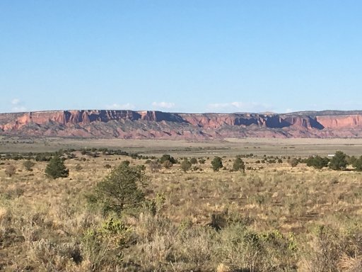
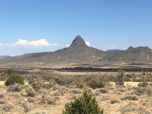
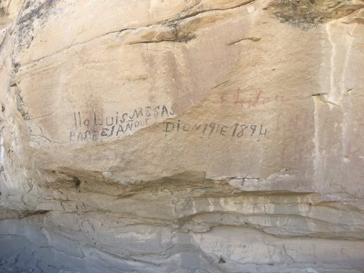
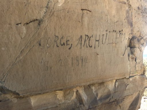
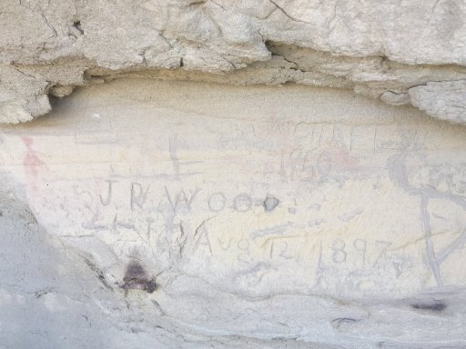
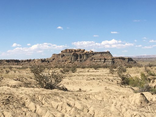
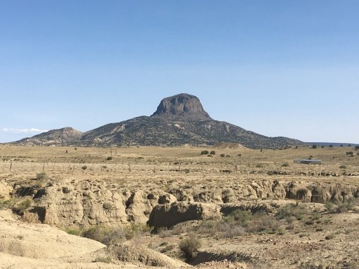
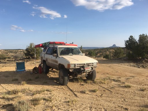
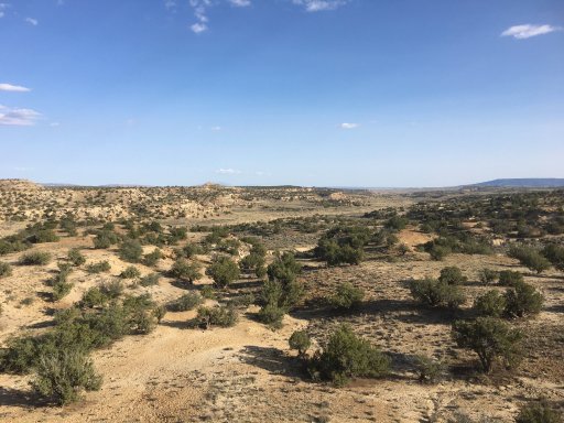
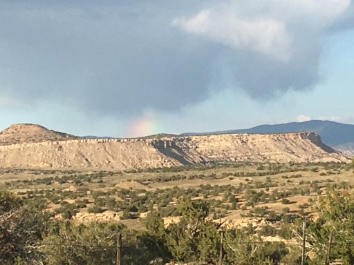
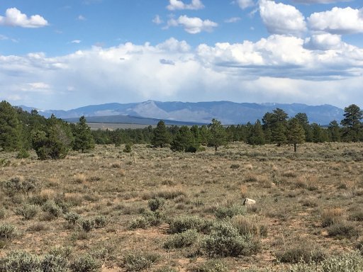
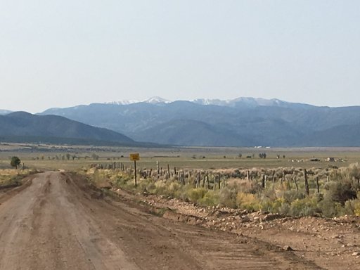
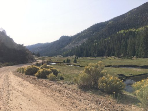
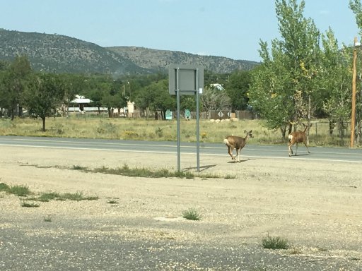
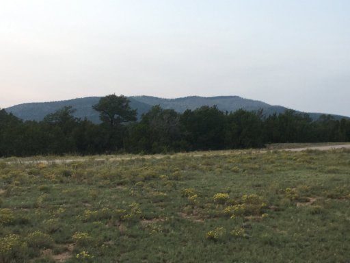
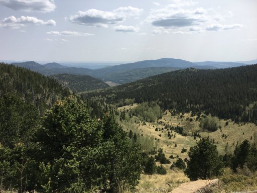
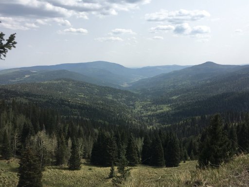
Few picks in the Santa Fe NF.
B833D519-615C-4F1C-BFF0-D6FFBD4080E7.jpeg
3A6CC963-3EE7-41C9-A7E8-5F99814B27C5.jpeg
!!! There has been an important change on the original path of the ERT as it goes through the Santa Fe. Where the original path came out of the forest and onto easements of some private property, new land owners from Cali have installed fences and gates. This caused an uproar in the local community with protests, petitions, and threats of violence against the new owners. It is now being played out in the legal system but for now the original path is closed.
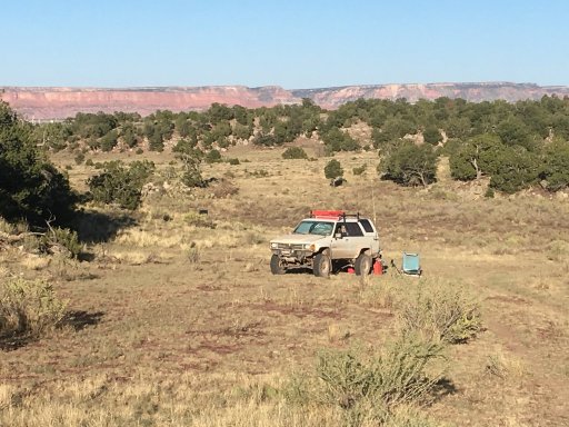
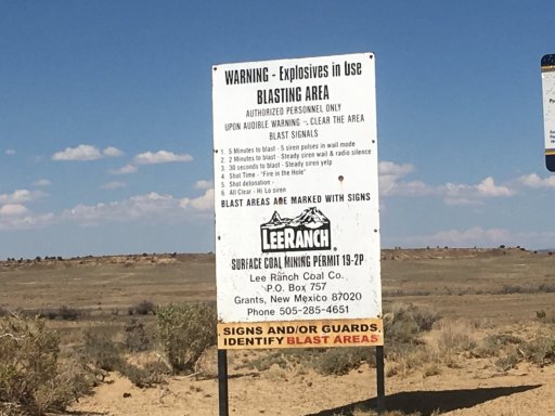
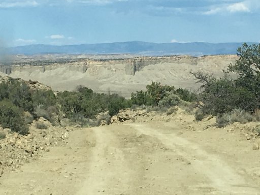
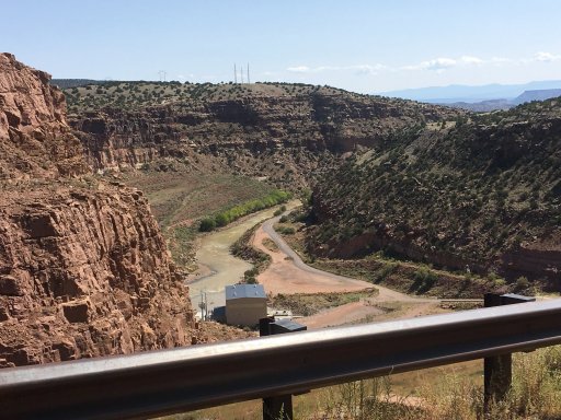
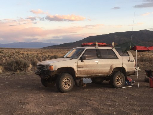
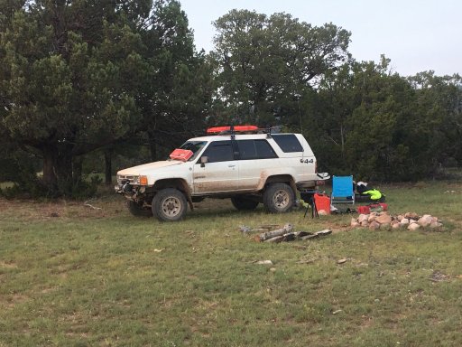
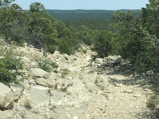
There is the FS200 option, which I took, and that’s an iffy. The road is badly deteriorated and littered with technical areas, rock and boulder “mine” fields, bad off camber areas, serious washouts, and rock drops. You will need good lift, armor, tires, lockers, and driving ability to traverse this. I ended up with a bent idler arm, dented driveshaft, leaking steering box, damaged tires, and well scraped up skid plate/belly pan. I was going downhill which made it easier as I would not have been able to make the climb.
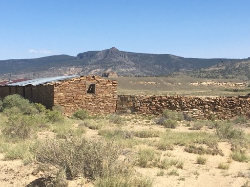
Then once I got to the NF boundary I found a fence had been put up. I had done my research ahead of time and knew there was an easement all the way to the highway so I took the fence down and replaced it after I passed. Other than more crappy roadway, I passed through the property line fencing and easements without hindrance the rest of the way. However this could end up playing out like the original path so be prepared.

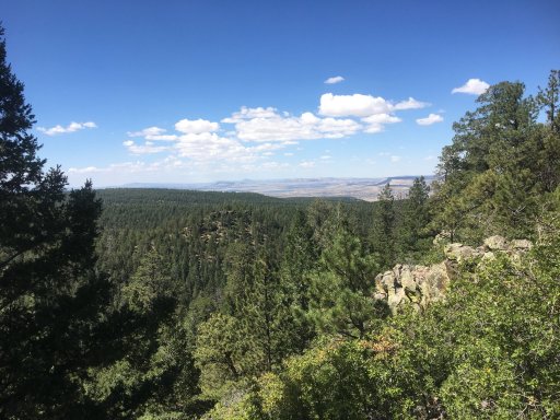
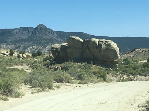
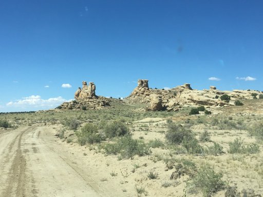
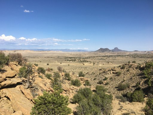
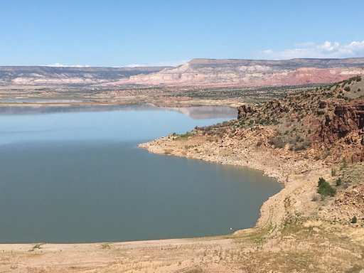
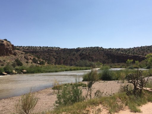
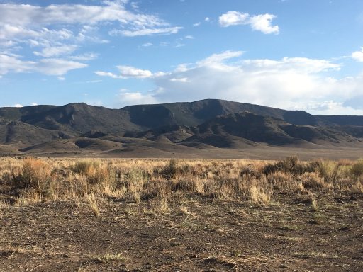
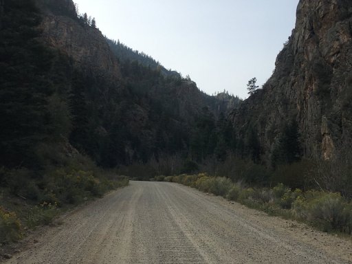
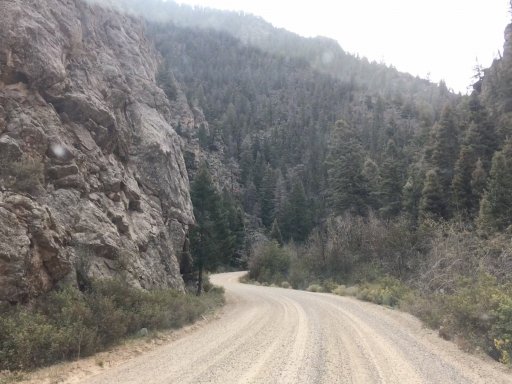
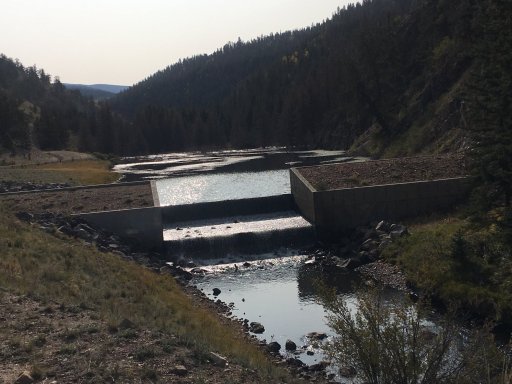
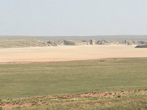
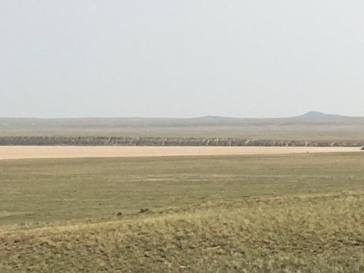
This is the only good section of that path.
0040CFDE-C8D3-44E0-9902-A965282D74F6.jpeg
More to come...
 

Lanlubber In Remembrance

Rank V
Launch Member

Member III

2,827
Mimbres, NM, USA
First Name
Jim
Last Name
covey sr
Member #

16986

Ham/GMRS Callsign
none - BREAKER BREAKER HAND HELD CB AND WALKIE TALKIE