I think it would be cool to have a thread going as a resource for all Android apps that are useful to us as Overlanders. They can be related to communications, navigation, journal/information logging and other useful tools.
I'll get the ball rolling with a few apps:
NAVIGATION - ViewRanger for Android
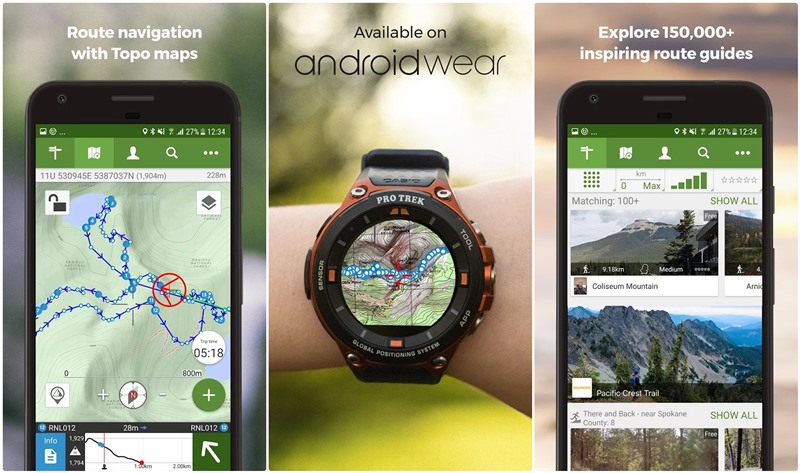
Great app for creating routes, tracking, saving POI, saving maps for offline use, ability to share on multiple devices with your ViewRanger account, great base maps with the option of purchasing additional maps, and the best part IT'S FREE!
COMMUNICATION - Zello for Android
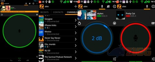
Simple walkie-talkie-style app, that allows a quick and efficient way to communicate as long as you have network. The data usage is very minimal and you can use this even with one bar. The app allows you to create groups and communicate to all group members at once (great for groups runs). It also allows for text messaging and sending images.
I'll get the ball rolling with a few apps:
NAVIGATION - ViewRanger for Android
Great app for creating routes, tracking, saving POI, saving maps for offline use, ability to share on multiple devices with your ViewRanger account, great base maps with the option of purchasing additional maps, and the best part IT'S FREE!
COMMUNICATION - Zello for Android
Simple walkie-talkie-style app, that allows a quick and efficient way to communicate as long as you have network. The data usage is very minimal and you can use this even with one bar. The app allows you to create groups and communicate to all group members at once (great for groups runs). It also allows for text messaging and sending images.