Enthusiast III
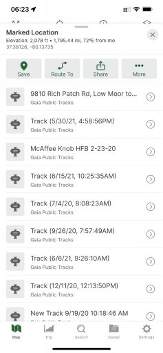
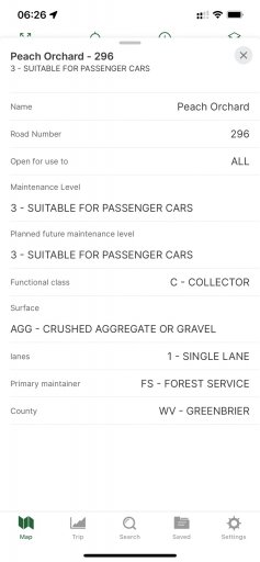
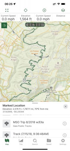
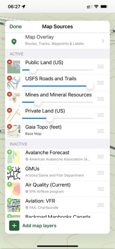
Instead of another 'Gaia vs onX Backcountry' thread, I really just want to know why there are three different apps instead of one? This isn't even about the money; it's just a really janky experience. I like to mix overlanding, running, hiking, photography, and fishing/hunting, and so Gaia is much easier to use to plan with, instead of having two apps/browser windows open. I really like onX's trail ratings etc but got frustrated with the multiple apps. The UI etc seems very similar so they could probably just make it one app and just switch modes (like Gaia). You could even pay depending on which modes you wanted. Anybody else have other solutions?