looks easy, may be a shake down trip
https://ridebdr.com/News/The-Backcountry-Discovery-Routes-Releases-the-Mid-Atlantic-BDR
from their FAQ page:
How difficult is the route?
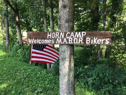
The MABDR route is designed to be ridden on adventure and dual-sport motorcycles, as well as driven in 4x4 vehicles. There are no single-track style trails on this route. Generally speaking, this is one of the easier BDR routes
https://ridebdr.com/News/The-Backcountry-Discovery-Routes-Releases-the-Mid-Atlantic-BDR
from their FAQ page:
How difficult is the route?
The MABDR route is designed to be ridden on adventure and dual-sport motorcycles, as well as driven in 4x4 vehicles. There are no single-track style trails on this route. Generally speaking, this is one of the easier BDR routes