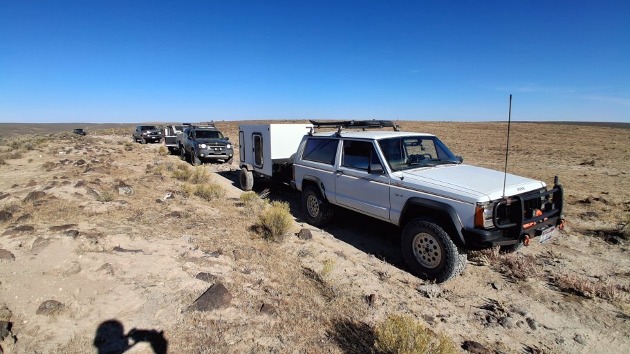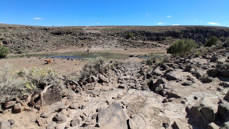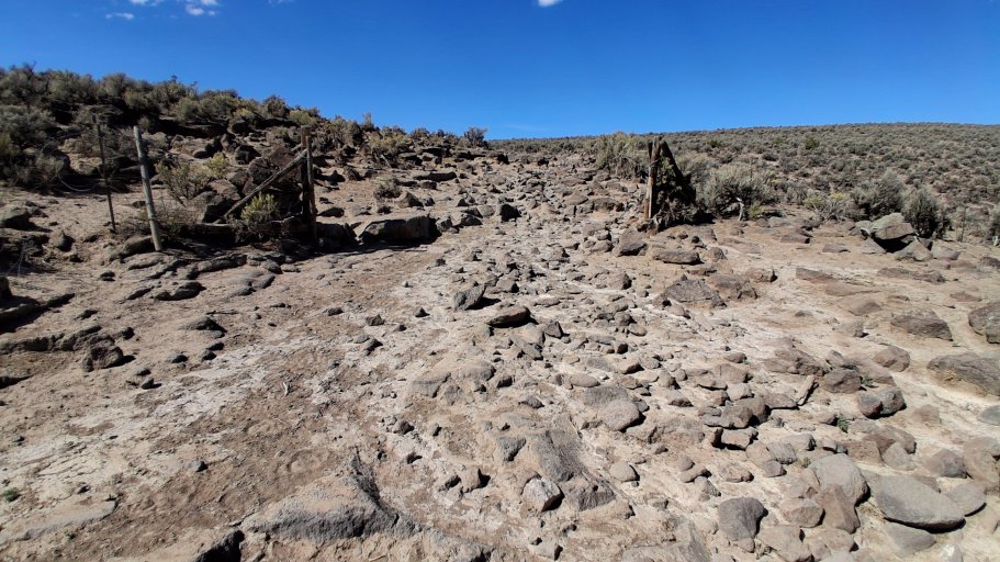
Some of you guys may know about the West East Idaho Overland Route (WEIOR) I worked on and ran about 2 years ago. You can find that thread here SW Idaho Overlanding West/East Idaho Overland Route (WEIOR) . There is also a book out that is available on the WEIOR through Amazon https://amzn.to/4q7TCHH.
While developing the WEIOR I thought it would be cool to create another route going the opposite direction with the same start and finish locations just in reverse. This way people could connect into the route at any location and make a full loop (1128 miles) and then leave the routes where they began. It was a cool idea I thought, but I put that on the back burner since the WEIOR took so much time to create.
Once finished with the WEIOR though, I began to poke around with some ideas and occasionally looked at maps to see if it could be done. I gave myself the same route criteria as for the WEIOR.
-10% or less paved roads
-No using already known Back Country Routes
-Try and use roads less often used
-Try and go through some areas that are interesting to see
-Stay 100% in Idaho
-Try and keep the route as low as possible in elevation
-Stay as isolated as possible
Right away I knew it was not going to work out.
-10% or less paved roads: I knew this one was going to be very hard since I barely squeaked in with the WEIOR. I wanted to see just close that I can get. The first leg really ate into criteria, coming in at 58 miles of pavement, 26 miles before you even hit dirt! Then some unavoidable sections of populated areas. Maybe you could drop that number down with some major zig zagging, but I did not really want to do that either. All in all though I don't think it turned out too bad. The paved roads that I did have to include looked to be interesting back roads with some great views, at least what I have seen in pictures. If the route stays true to what I have the total pavement portion came in a 16.4%. No too bad considering.
-No using already known Back Country Routes: Well, I knew this one was going out the door. There are very limited roads that go from east to west in the Owyhees. I had found that one single road to make it work with the WEIOR. I have to already use some roads used on the WEIOR for this route to work just because of that. Not wanting to back track over already used roads forever, I had to give in and use a big section of the Owyhee Backcountry Byway. Also, I found that some portions of the route at a few points follow The Trans-America Trail (TAT). Not on purpose, just turns out great minds think alike, I guess. I stumbled upon this by noticing that the picture car happened to be a red Ford Bronco. I had notice this before when I was doing some trip routing in Central Oregon. I though who is this? I did a quick search and found this . Well now I am giving away some of my route-finding secrets...
-Try and use roads less often used: Well, considering where these roads are at, I can say they are l probably less used, but used. East side of the state for sure, west side probably a lot less.
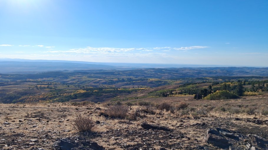
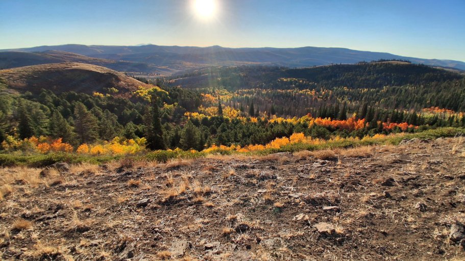
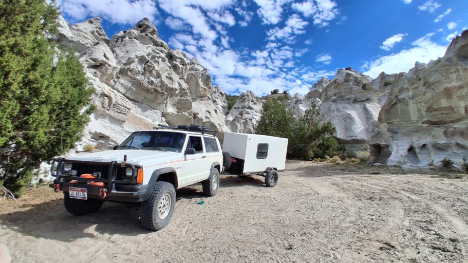
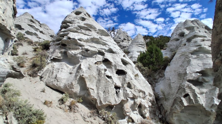
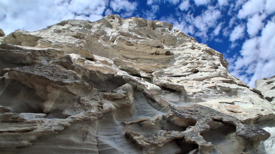
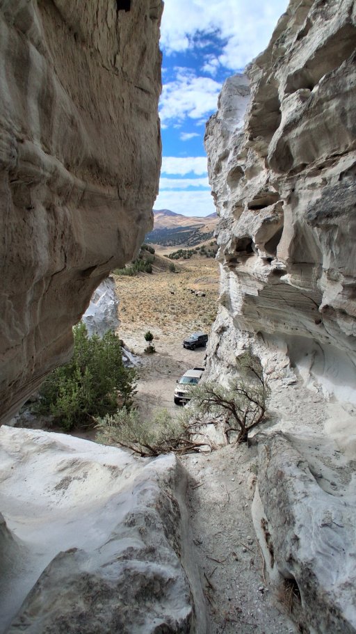
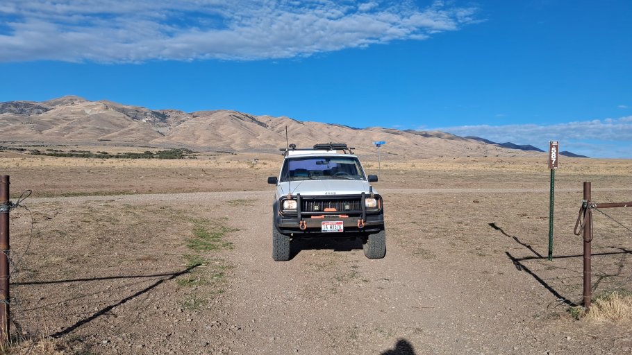
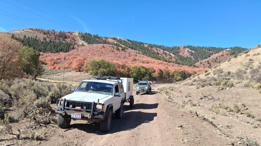
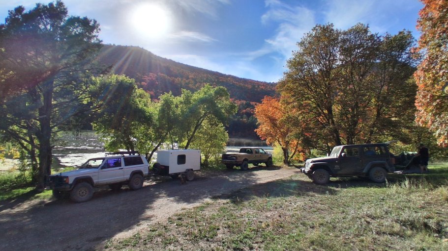
-Try and go through some areas that are interesting to see: I think this one will be a big win. Maybe even more so than the WEIOR. Building the route, I was able to see photos of the areas it will go through. Even if it is not as remote as the WEIOR, I think it just might be more scenic, at least on the east side.
-Stay 100% in Idaho: Well, I had to fudge a bit on this one too. Not too bad though, only 1.3 miles into Utah. I am not adding Utah into the route name though.
-Try and keep the route as low as possible in elevation: Once again a failure. To stay out of populated areas you have to go where the population is'nt. Back in Eastern Idaho that means mountain ranges. Anything flat has something growing on it. Not all bad though. Some of the beauty of this trip is crossing over those ranges. One pass is 8400 feet. I really did not think we had mountain ranges that high over there but yes. This will limit the optimum time for driving the whole circumference with having to time with snow levels and too much heat.
-Stay as isolated as possible: As mentioned above, to avoid populations you have to drive mountain ranges. The eastern portion of this route is not isolated. Populated areas and farmland and mountain ranges will be a constant cycle for the early part of this route.
Well, there you have it! The good and the bad. How does it compare to the WEIOR? I think they both have their own personality. The WEIOR feels isolated, for the most part, even when you get to the more populated eastern side of the state. That is what I wanted the feel to be. Most of the roads are rough and slow moving WEIOR. I think the EWIOR will feel faster with more higher speed roads, scenic and relaxing. Don't get me wrong, there are some rougher roads like on the WEIOR on the west side of the state but not the constant that the WEIOR has.
These are the current milage numbers that I have now.
Leg 1: Total Miles 165 Paved Miles 58.1 Dirt/Two Track Miles 106.9 Percent Paved 35.2%
Leg 2: Total Miles 119.1 Paved Miles 11.8 Dirt/Two Track Miles 107.3 Percent Paved 9.9%
Leg 3: Total Miles 62.3 Paved Miles 1.7 Dirt/Two Track Miles 60.6 Percent Paved 2.7%
Leg 4: Total Miles 240.8 Paved Miles 24.6 Dirt/Two Track Miles 216.2 Percent Paved 10.2%
Totals: Total Miles 586.4 Paved Miles 96.2 Dirt/Two Track Miles 491 Percent Paved 16.4%
I am going to be doing a route verification run next month to see how this route will shape up. I am limited to 3 full days of travel so it will be interesting to see just how far I can make it. The WEIOR took us 7 long trail days and 1 day to retrieve a trailer off the trail. The roads, for the most part, should be much faster on this route, however. So, stay tuned for more updates as this route comes to life.
See you on the trails!
While developing the WEIOR I thought it would be cool to create another route going the opposite direction with the same start and finish locations just in reverse. This way people could connect into the route at any location and make a full loop (1128 miles) and then leave the routes where they began. It was a cool idea I thought, but I put that on the back burner since the WEIOR took so much time to create.
Once finished with the WEIOR though, I began to poke around with some ideas and occasionally looked at maps to see if it could be done. I gave myself the same route criteria as for the WEIOR.
-10% or less paved roads
-No using already known Back Country Routes
-Try and use roads less often used
-Try and go through some areas that are interesting to see
-Stay 100% in Idaho
-Try and keep the route as low as possible in elevation
-Stay as isolated as possible
Right away I knew it was not going to work out.
-10% or less paved roads: I knew this one was going to be very hard since I barely squeaked in with the WEIOR. I wanted to see just close that I can get. The first leg really ate into criteria, coming in at 58 miles of pavement, 26 miles before you even hit dirt! Then some unavoidable sections of populated areas. Maybe you could drop that number down with some major zig zagging, but I did not really want to do that either. All in all though I don't think it turned out too bad. The paved roads that I did have to include looked to be interesting back roads with some great views, at least what I have seen in pictures. If the route stays true to what I have the total pavement portion came in a 16.4%. No too bad considering.
-No using already known Back Country Routes: Well, I knew this one was going out the door. There are very limited roads that go from east to west in the Owyhees. I had found that one single road to make it work with the WEIOR. I have to already use some roads used on the WEIOR for this route to work just because of that. Not wanting to back track over already used roads forever, I had to give in and use a big section of the Owyhee Backcountry Byway. Also, I found that some portions of the route at a few points follow The Trans-America Trail (TAT). Not on purpose, just turns out great minds think alike, I guess. I stumbled upon this by noticing that the picture car happened to be a red Ford Bronco. I had notice this before when I was doing some trip routing in Central Oregon. I though who is this? I did a quick search and found this . Well now I am giving away some of my route-finding secrets...
-Try and use roads less often used: Well, considering where these roads are at, I can say they are l probably less used, but used. East side of the state for sure, west side probably a lot less.
-Try and go through some areas that are interesting to see: I think this one will be a big win. Maybe even more so than the WEIOR. Building the route, I was able to see photos of the areas it will go through. Even if it is not as remote as the WEIOR, I think it just might be more scenic, at least on the east side.
-Stay 100% in Idaho: Well, I had to fudge a bit on this one too. Not too bad though, only 1.3 miles into Utah. I am not adding Utah into the route name though.
-Try and keep the route as low as possible in elevation: Once again a failure. To stay out of populated areas you have to go where the population is'nt. Back in Eastern Idaho that means mountain ranges. Anything flat has something growing on it. Not all bad though. Some of the beauty of this trip is crossing over those ranges. One pass is 8400 feet. I really did not think we had mountain ranges that high over there but yes. This will limit the optimum time for driving the whole circumference with having to time with snow levels and too much heat.
-Stay as isolated as possible: As mentioned above, to avoid populations you have to drive mountain ranges. The eastern portion of this route is not isolated. Populated areas and farmland and mountain ranges will be a constant cycle for the early part of this route.
Well, there you have it! The good and the bad. How does it compare to the WEIOR? I think they both have their own personality. The WEIOR feels isolated, for the most part, even when you get to the more populated eastern side of the state. That is what I wanted the feel to be. Most of the roads are rough and slow moving WEIOR. I think the EWIOR will feel faster with more higher speed roads, scenic and relaxing. Don't get me wrong, there are some rougher roads like on the WEIOR on the west side of the state but not the constant that the WEIOR has.
These are the current milage numbers that I have now.
Leg 1: Total Miles 165 Paved Miles 58.1 Dirt/Two Track Miles 106.9 Percent Paved 35.2%
Leg 2: Total Miles 119.1 Paved Miles 11.8 Dirt/Two Track Miles 107.3 Percent Paved 9.9%
Leg 3: Total Miles 62.3 Paved Miles 1.7 Dirt/Two Track Miles 60.6 Percent Paved 2.7%
Leg 4: Total Miles 240.8 Paved Miles 24.6 Dirt/Two Track Miles 216.2 Percent Paved 10.2%
Totals: Total Miles 586.4 Paved Miles 96.2 Dirt/Two Track Miles 491 Percent Paved 16.4%
I am going to be doing a route verification run next month to see how this route will shape up. I am limited to 3 full days of travel so it will be interesting to see just how far I can make it. The WEIOR took us 7 long trail days and 1 day to retrieve a trailer off the trail. The roads, for the most part, should be much faster on this route, however. So, stay tuned for more updates as this route comes to life.
See you on the trails!
Last edited: