Hi guys,
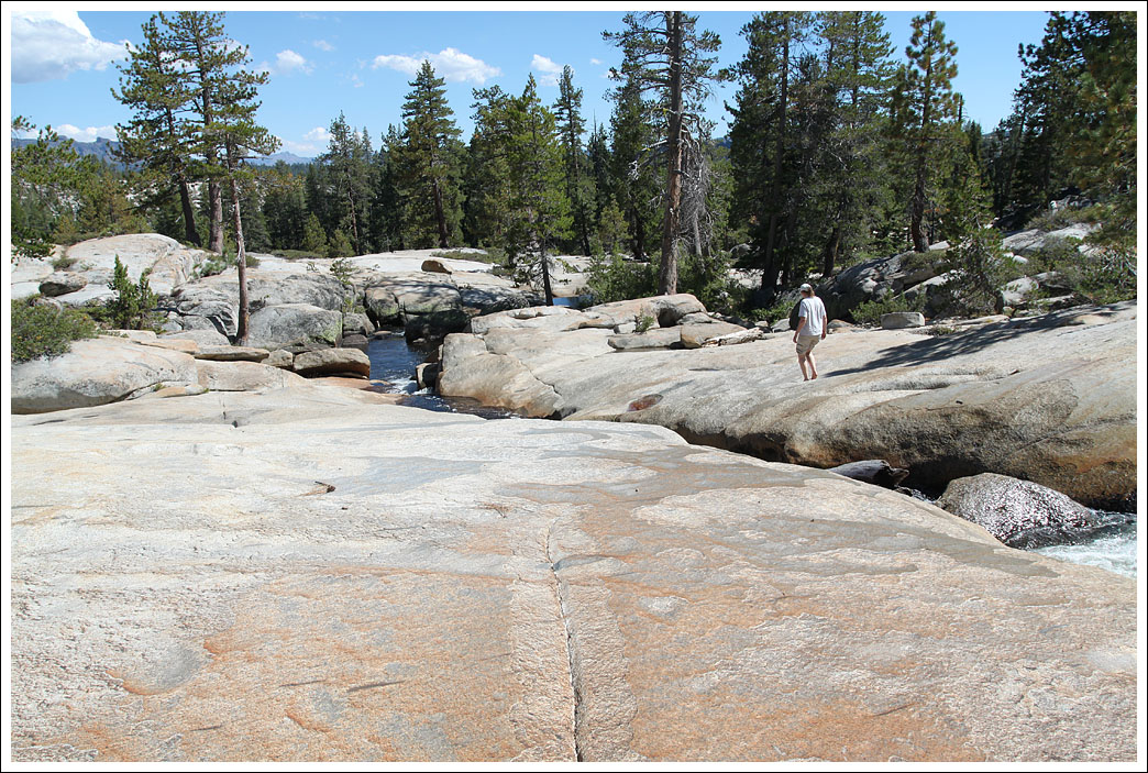
I'm planning a trip next weekend up to two destinations I've wanted to hit for a while: Slick Rock Trail (the easy first part to the camping spot by the creek) and Coral Hollow. I am loosely following this as a guide:
https://www.overlandbound.com/forums/threads/slick-rock-trail-lake-alpine-ca.427/
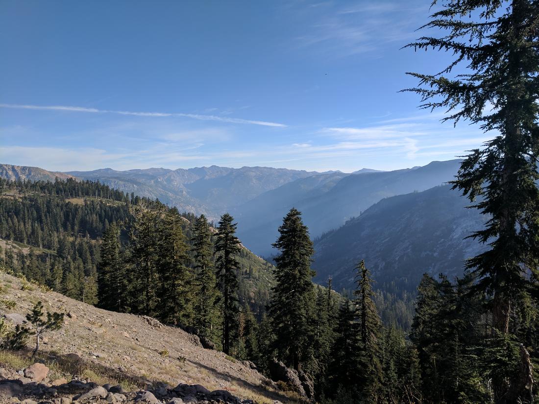
Planning on taking a half day on Friday, drive up to the camping spot at Slick Rock for that evening, then tackle Coral Hollow saturday afternoon and camp up there Saturday night. Come back Sunday. Maybe swing by Lake Alpine if there is time.
Here is the tentative itinerary:
Friday 9/15:
1:00 pm - Meet at the Target in Livermore: 4300 Las Positas Rd, Livermore, CA 94551
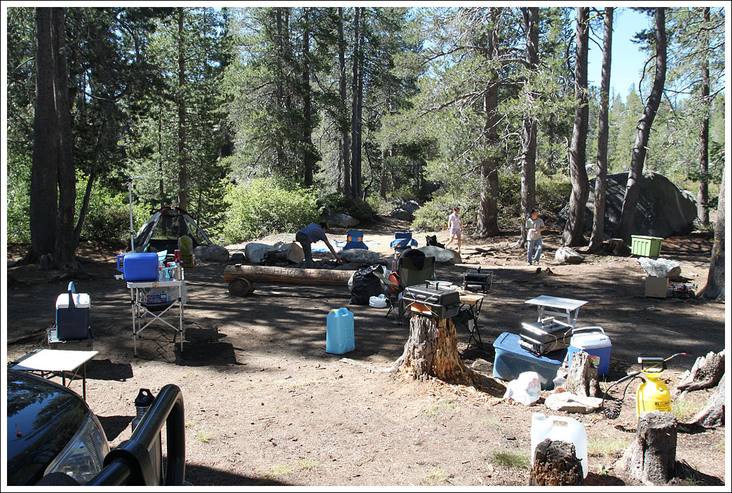
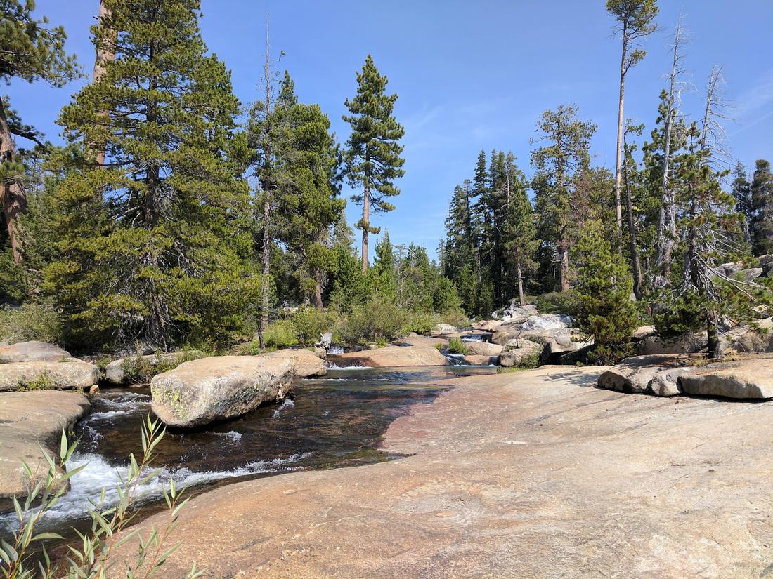
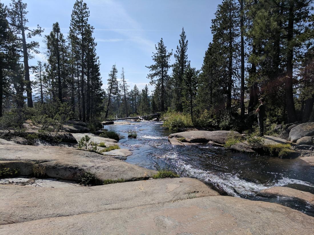
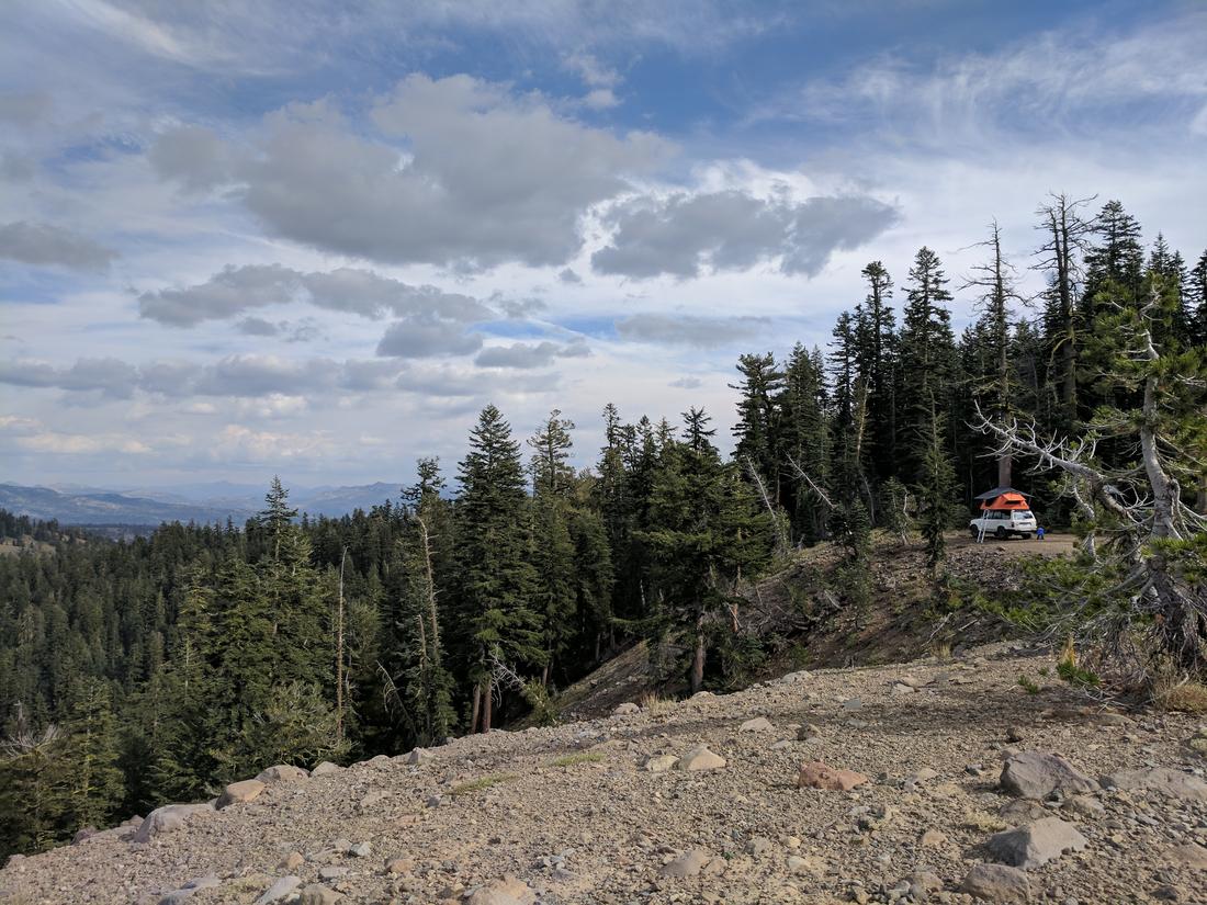
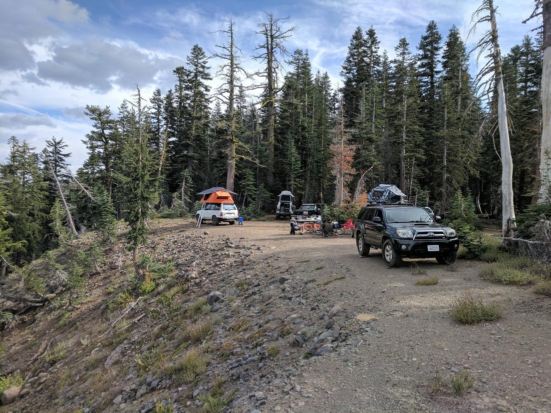
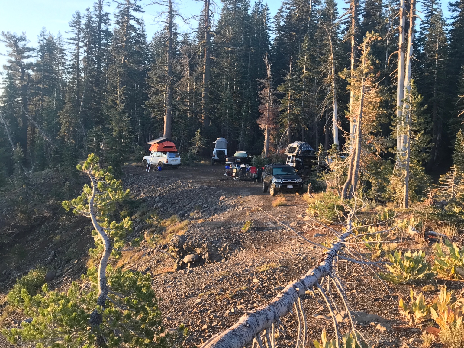
~ 4:00 pm - arrive at the slick rock trail, make it to the camping spot for that evening
Saturday 9/16
12:00 noon - depart the Slick Rock camp spot and start making our way to the Coral Hollow trail head nearby.
Sunday 9/17
Depart the camp spot whenever we feel is right! Possibility of taking off in the morning and checking out Lake Alpine nearby as well.
I'd love to have some of you guys join! At the moment here is the attendee list:
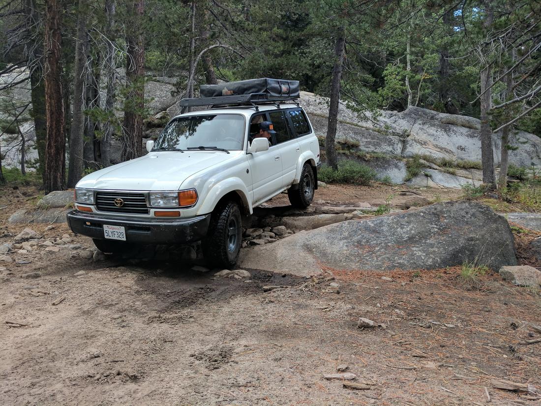
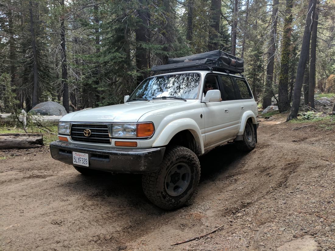
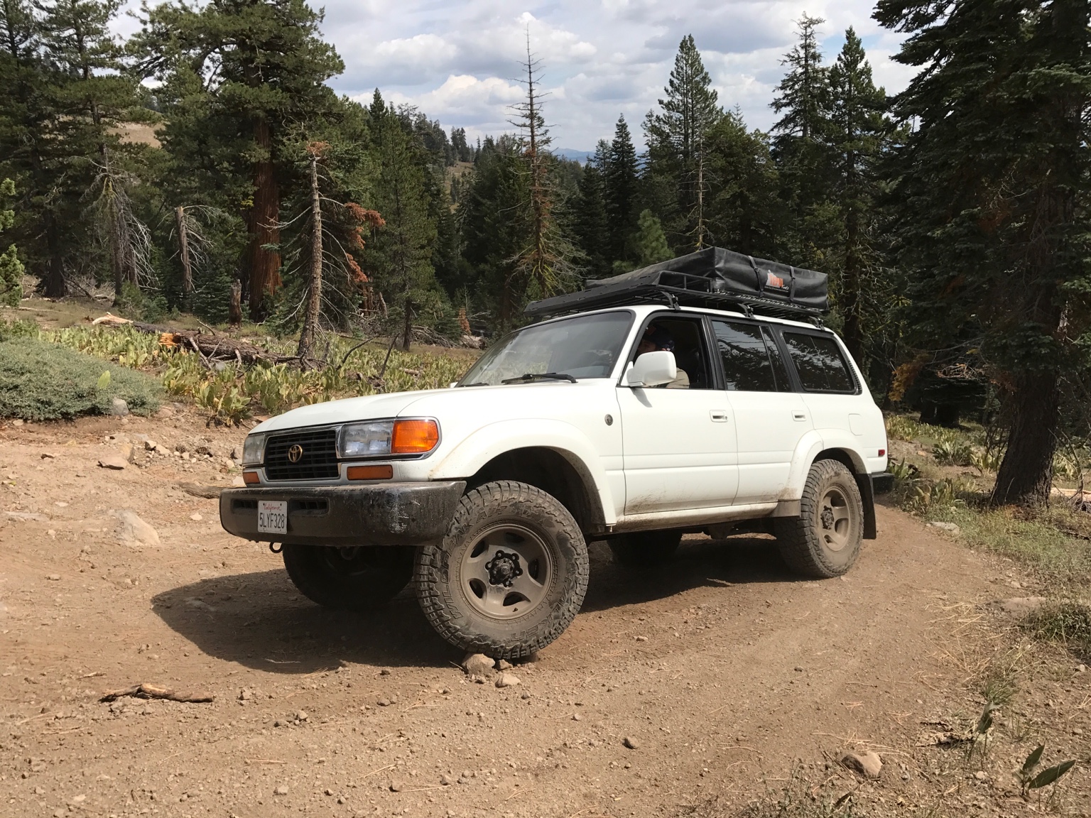
1. Myself and my girlfriend, Alexis, in my Land Cruiser
2. @R1200gsfan in his 4runner
3. @Budman in his Wrangler
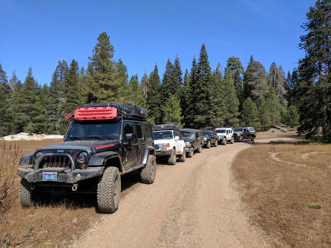
I think we can fit about 7 rigs or so at each camp site. So are there 4 more of you guys who would like to join?
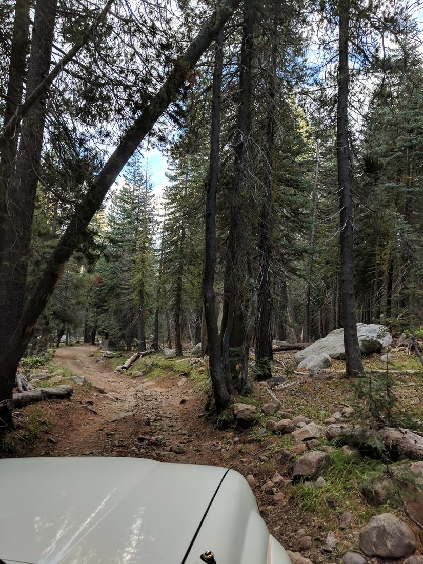
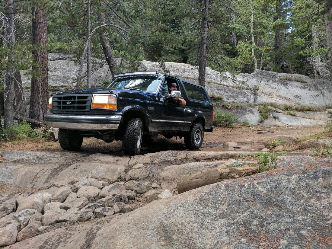
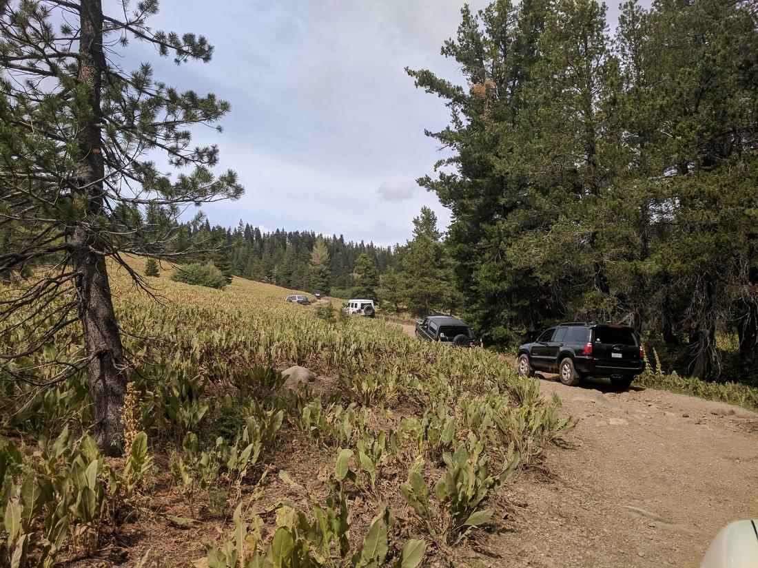
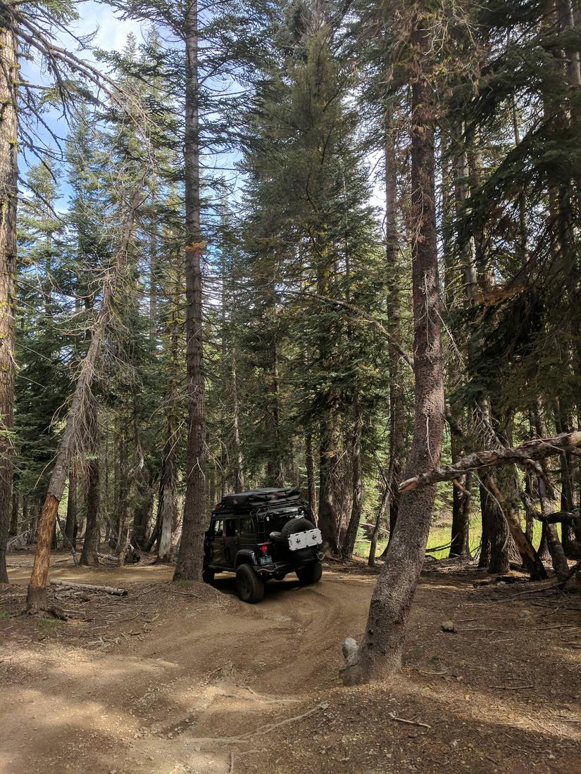
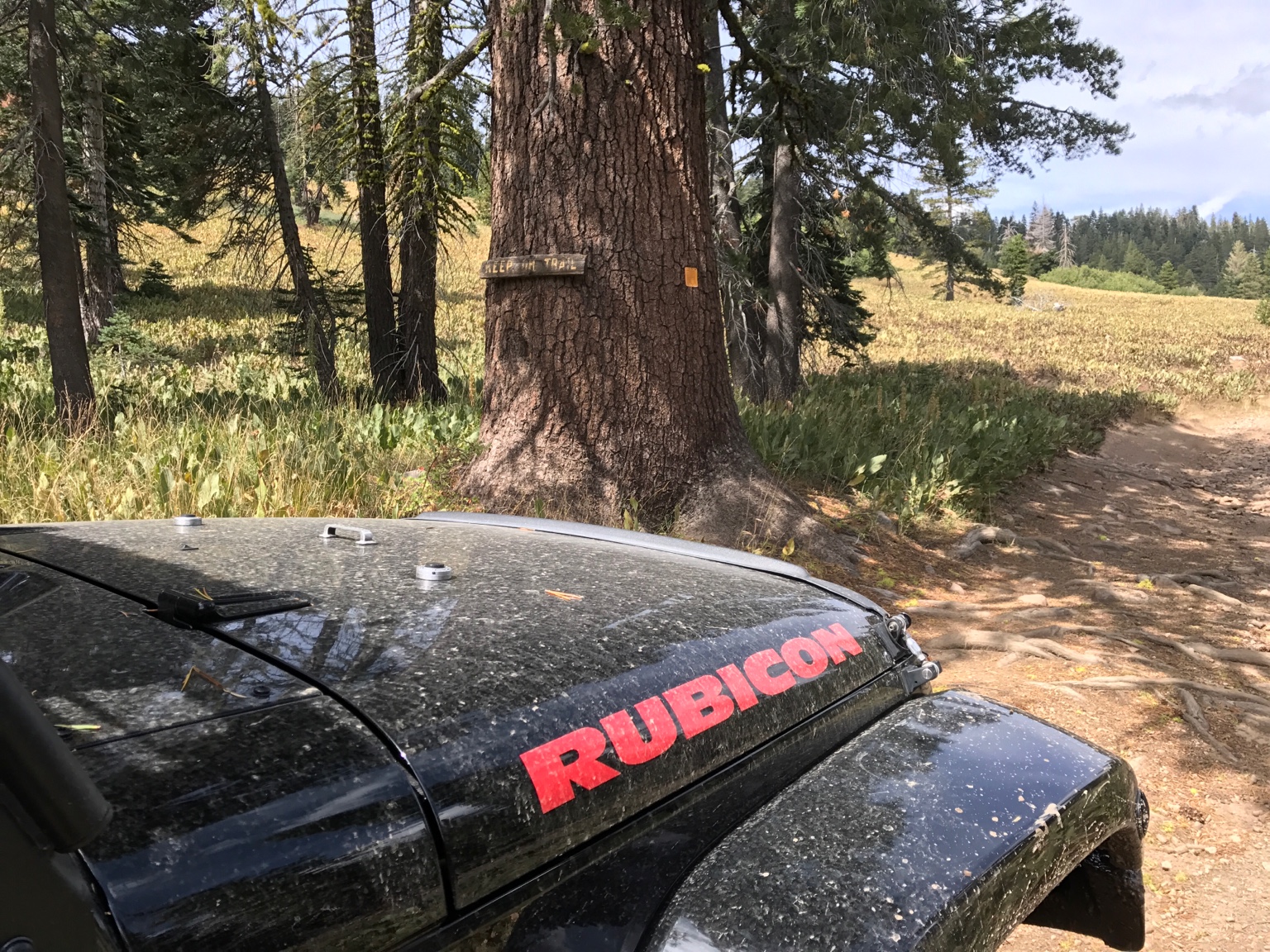
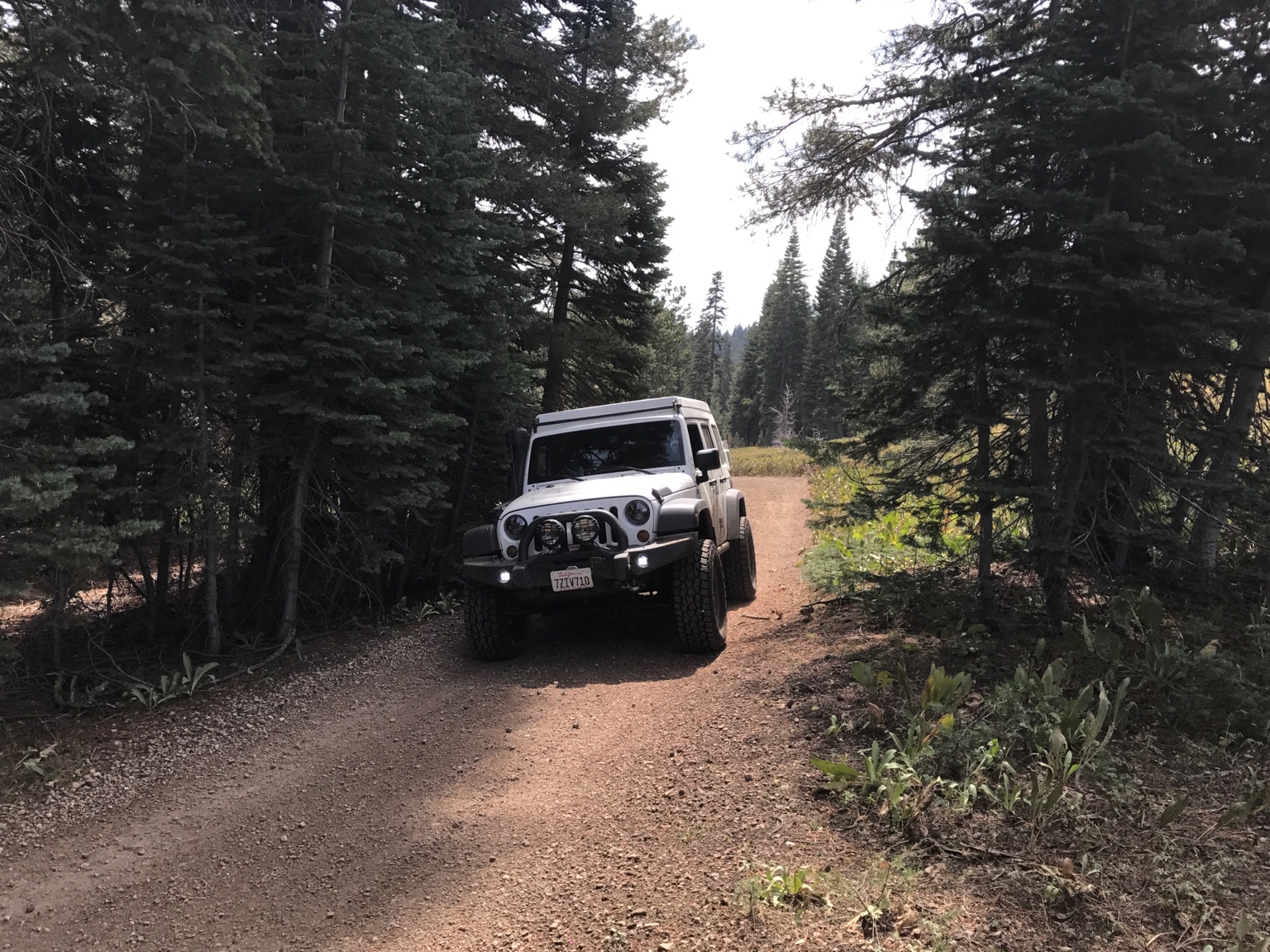
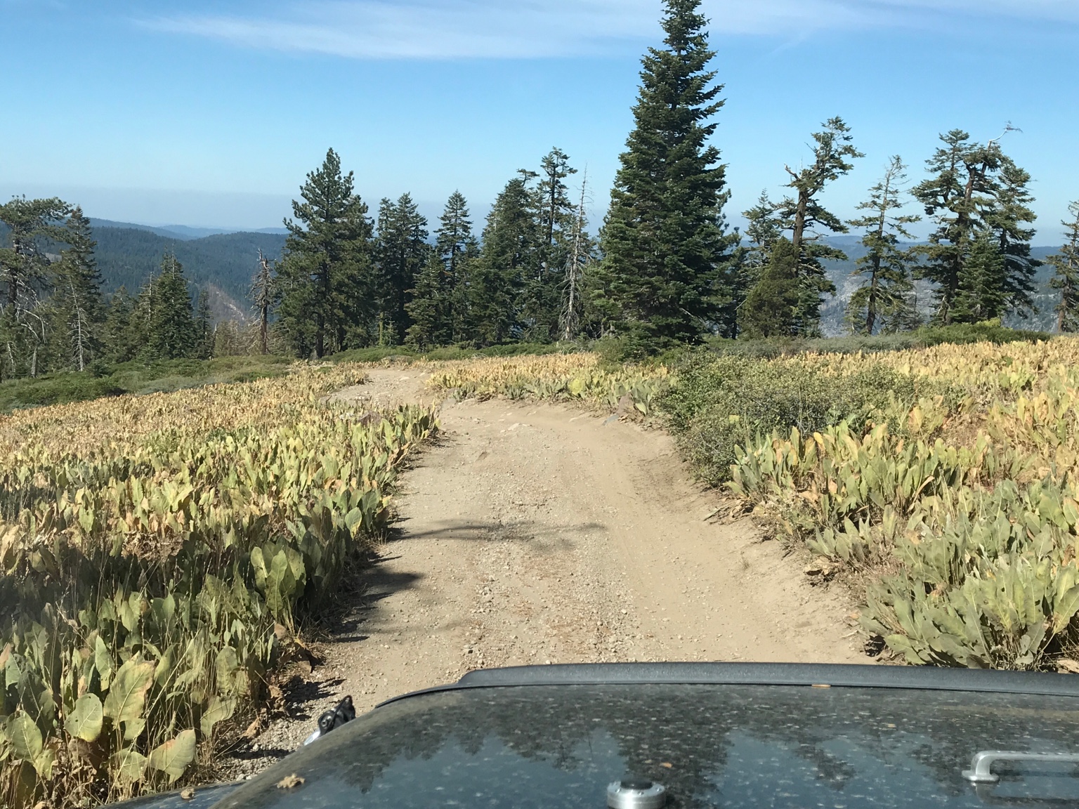
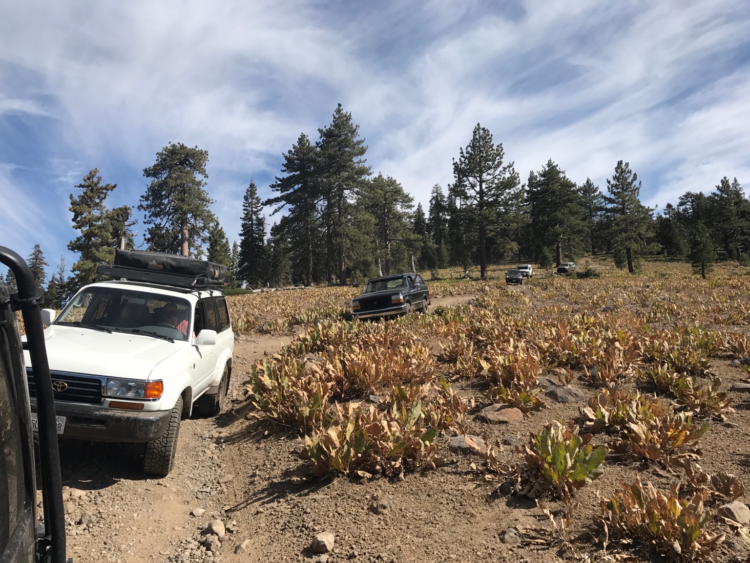
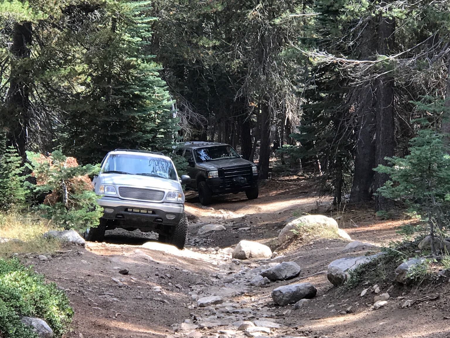
In terms of difficulty, I think the max we're looking at here is a "Blue". We are NOT tackling the difficult part of Slick Rock trail, just going in far enough to get to the nice camp site. I have not been to either of these sites, but from what I understand is any stock 4x4 with good ground clearance will make it.
If anyone wants to do Coral Hollow Saturday, but can't take off on Friday, I'm sure we can find a meeting spot and time Saturday. Just post your details in this thread.
Let me know your thoughts! I can do a Rally Point as well if that's easier.
I'm planning a trip next weekend up to two destinations I've wanted to hit for a while: Slick Rock Trail (the easy first part to the camping spot by the creek) and Coral Hollow. I am loosely following this as a guide:
https://www.overlandbound.com/forums/threads/slick-rock-trail-lake-alpine-ca.427/
Planning on taking a half day on Friday, drive up to the camping spot at Slick Rock for that evening, then tackle Coral Hollow saturday afternoon and camp up there Saturday night. Come back Sunday. Maybe swing by Lake Alpine if there is time.
Here is the tentative itinerary:
Friday 9/15:
1:00 pm - Meet at the Target in Livermore: 4300 Las Positas Rd, Livermore, CA 94551
~ 4:00 pm - arrive at the slick rock trail, make it to the camping spot for that evening
Saturday 9/16
12:00 noon - depart the Slick Rock camp spot and start making our way to the Coral Hollow trail head nearby.
Sunday 9/17
Depart the camp spot whenever we feel is right! Possibility of taking off in the morning and checking out Lake Alpine nearby as well.
I'd love to have some of you guys join! At the moment here is the attendee list:
1. Myself and my girlfriend, Alexis, in my Land Cruiser
2. @R1200gsfan in his 4runner
3. @Budman in his Wrangler
I think we can fit about 7 rigs or so at each camp site. So are there 4 more of you guys who would like to join?
In terms of difficulty, I think the max we're looking at here is a "Blue". We are NOT tackling the difficult part of Slick Rock trail, just going in far enough to get to the nice camp site. I have not been to either of these sites, but from what I understand is any stock 4x4 with good ground clearance will make it.
If anyone wants to do Coral Hollow Saturday, but can't take off on Friday, I'm sure we can find a meeting spot and time Saturday. Just post your details in this thread.
Let me know your thoughts! I can do a Rally Point as well if that's easier.