Enthusiast III
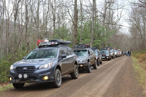
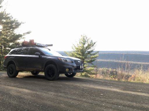
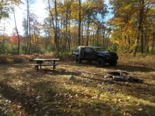
Paddy Mountain driveable trail is located in Bald Eagle State Forest. It is an easy, basically downhill fire access road. Most of the trail can be characterized as a water run-off for the mountain. But it is gradual. No steep sections. 4wd is advisable but not necessary. The day I drove the trail I looped back to a campsite near the trailhead and a club of 9 jeeps drove by a little later. So I suspect this trail is frequently traveled. The entire trail and loop back around to the site took less than 2 hours. There are campsites nearby available by calling the park office and getting a permit.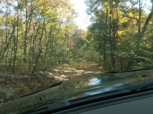
Last edited: