Pioneer I
- 11,171
- First Name
- Dave
- Last Name
- Spinks
- Member #
-
3057
- Service Branch
- Royal Navy Veteran
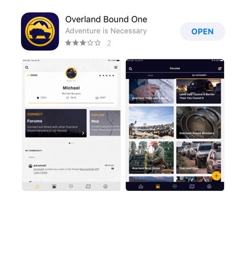
Overland Bound One is now available in the Apple App Store.
For those with Android it has been available about a week.
For those with Android it has been available about a week.
Attachments
-
49.4 KB Views: 22


