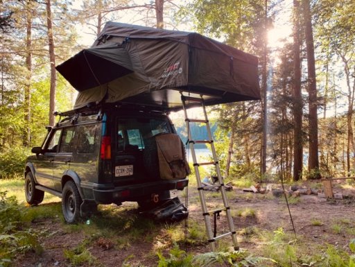
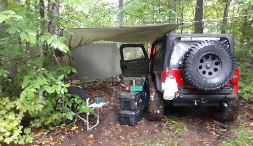
I know there are quite a few people here from Ontario and I am curious how many people run the trail systems vs how many enjoy exploring the many back roads to find their camp spots. I tend to enjoy a challenging trail with the reward of a nice secluded camp at the end.
Attachments
-
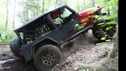
 IMG_20180929_083721_667.jpg726.5 KB · Views: 24
 -
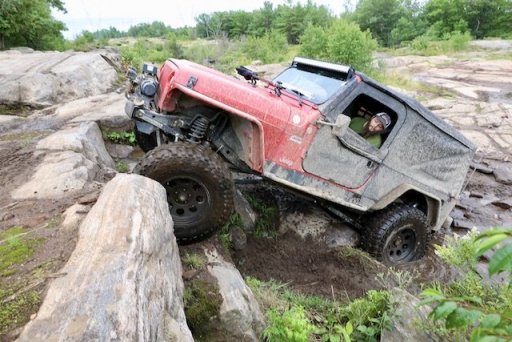
 68499661_343568096598011_8693309571436904448_n.jpg219.8 KB · Views: 20
 -
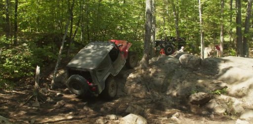
 13 Camp Crawl Photo Brad Morris (1).jpeg93.7 KB · Views: 20
 -
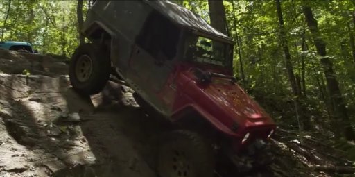
 125524524_376129156970544_8159290586001024330_n.jpg172.6 KB · Views: 19
 -
 125876632_655510711800684_7661676348271349106_n.jpg124.2 KB · Views: 18