I seem to have found an internet black hole, can't find offroad, hiking or hunting intel on the area of Dickshooter Creek and Dickshooter Ridge. BLM describes hiking through this canyon. I found the most likely direct track south from Mad Flat Road/Owyhee Scenic Byway, 20 miles or so.
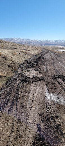
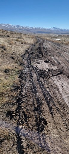
We are interested and open to camping and exploring north or south off this scenic byway that starts in Grand View ID and ends in Jordan Valley OR, a 100+ mile mostly well graded dirt road. Tons of unnamed 4x4 tracks north and south. I see mention of Antelope Ridge and Triangle Reservoir to the north. I'm sure there's all sorts to explore but there's virtually no published data or first hand accounts of areas north and south of the byway.
We'll come from Washington, cruise through Grand View ID and find a spot to camp. If we find intel, we'll spend another night either at Dickshooter Creek and hike the canyon or some other cool area along the byway. Once we exit at Jordan Valley, we'll hit up some Oregon Owyhee spots that we're more familiar with.