Gardnerville for the night

  • HTML tutorial

TJDon

Rank IV
Launch Member

Off-Road Ranger I

1,260
Galt CA
First Name
Don
Last Name
A
Member #

19869

Ham/GMRS Callsign
KI6TUI
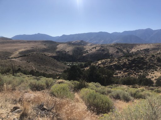
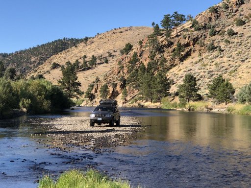
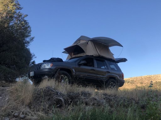
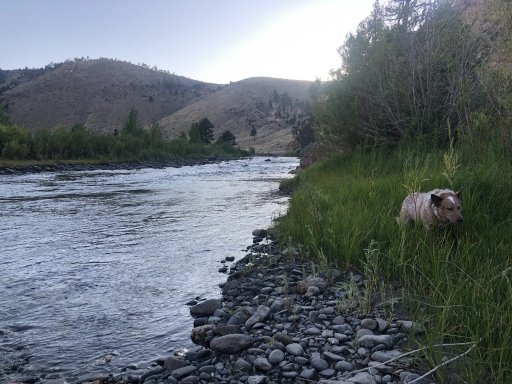
Plans were to stay the night on the Carson River then head to Bodie.......we didn’t make it to Bodie unfortunately. Our little dog decided to swan dive off my daughters lap and mess up her back leg. So the adventure turned into a vet visit in Gardnerville

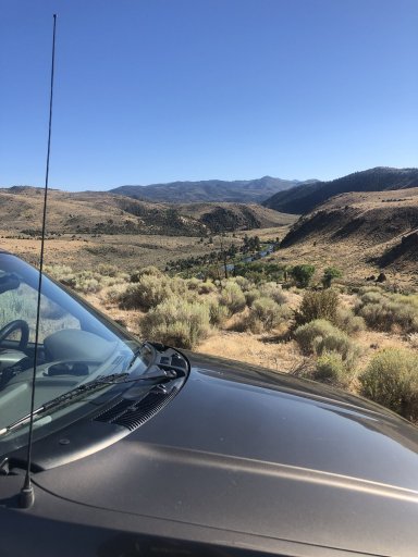
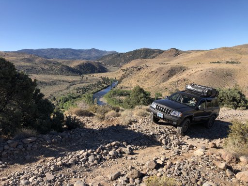
Cool thing though was my 15 y/o daughter did most of the driving once we left pavement

4C193825-C496-4756-AFE9-F5B8B22178DB.jpeg29250CE9-ABAC-455C-B8B3-7FCF2A7D51DF.jpeg54263B29-FF40-4093-A37A-B343D588453C.jpeg7F91F226-DD34-4686-A0F8-A29E30AB5A74.jpeg3196D3B2-22D0-4C7B-8F45-9FF32143F062.jpeg83BD08D0-DDE1-4563-8B9E-368C196D247F.jpeg7D8B70A0-EF10-43DB-A660-BD0B005296BE.jpeg
 

Attachments

Last edited:

renodemona

Rank V
Launch Member

Enthusiast III

2,365
Sparks, NV, USA
First Name
Glenn
Last Name
Smith
Member #

4913

Ham/GMRS Callsign
KJ7TCT
You're going to love Bodie when you get there! Are you coming back through the area after? Lots of awesome stuff to check out if you have time.
 

TJDon

Rank IV
Launch Member

Off-Road Ranger I

1,260
Galt CA
First Name
Don
Last Name
A
Member #

19869

Ham/GMRS Callsign
KI6TUI
You're going to love Bodie when you get there! Are you coming back through the area after? Lots of awesome stuff to check out if you have time.
We’re definitely going to come back up and make it to Bodie soon. Tried 2 weeks ago, but coming up hwy 89 the Jeep decided it wanted to overheat. Went back home
This weekend the plan was to camp where we did, head to Bodie and then trek over to Masonic mining camp. Unfortunately the pup got injured. We’ll try again soon
 

TJDon

Rank IV
Launch Member

Off-Road Ranger I

1,260
Galt CA
First Name
Don
Last Name
A
Member #

19869

Ham/GMRS Callsign
KI6TUI
Do you have a map of your route. I would love to check it out.
I didn’t make a route map. But it’s pretty easy to find. Here is a link, just follow “horse shoe bend trail” As soon as you leave the black top there from China springs rd there is a turn out to air down. Then you’ll start up a price drive with some resident properties. Drive slow to keep the dust down. As soon as you pass I think the 3rd property you’ll be in federal land. All kinds of trails to explore once you crest the mountain. Once we got down to the rivers edge, we headed south and crossed the river to the west side of the river and camped where it dead ended. But if you stay on the eastern side (the main trail, it goes on for miles.