N38°49'22.19"
W104°41'49.34"
Colorado Springs, Co
September 14th
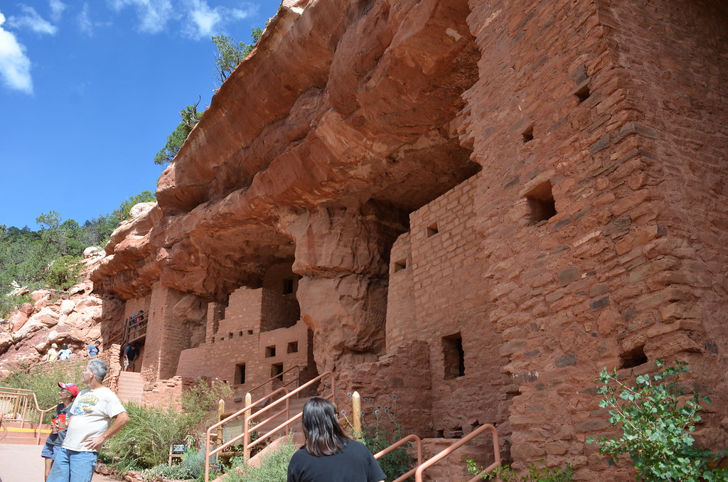
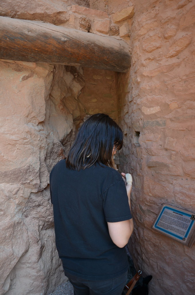
Morning at Peterson AFB. With the new hatch and sore thumb we head to the McD's on base to grab some quick food before heading out to see a few local sites. Manitou Cliff Dwellings, Pub Dog, and Pikes Peak. A very dog friendly day in what seemed like one of the most dog friendly cities in the country. Its great to be able to travel freely with your dog, especially when we are across the country, couldn't imagine leaving the pup in a kennel.
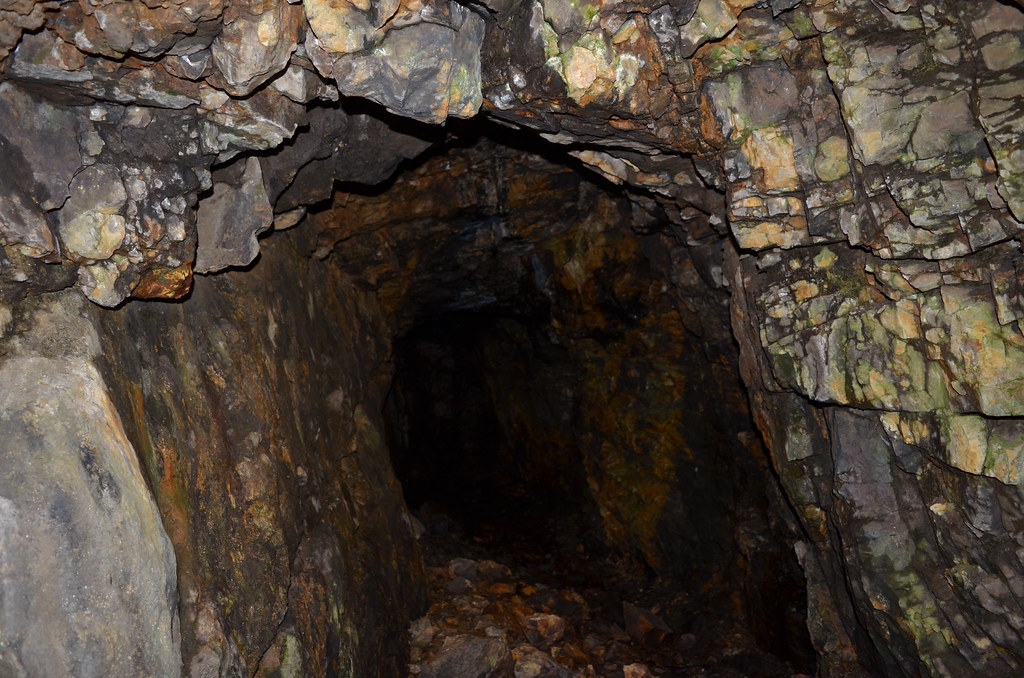
Pull into the cliff dwellings and it was packed. Surprise. Find a parking spot and starting walking around. Too be honest I'm not the greatest at enjoying the typical touristy things. Spent about 45 minutes looking around and going through the museum/gift shop. Don't get me wrong its was cool to see, just not my favorite thing to do when on vacation.
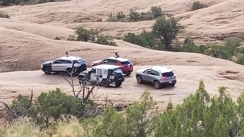
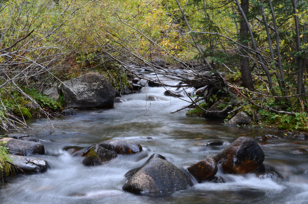
 DSC_3293
 by
Emerson Bowling, on Flickr
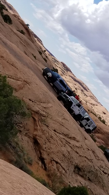
 DSC_3294
 by
Emerson Bowling, on Flickr
After Manitou was a food break, at recommendation from a friend we were heading to a restaurant that is a dog heaven. Pub Dog is a small brewery that has a small fenced dog park attached to it. Order your food and drinks then you head into the park to let your dog run. All kinds of pups running around. Really cool spot.
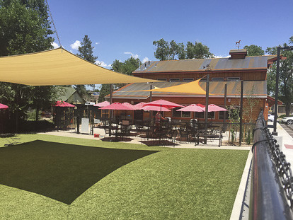 Photo-Credit-Tara-Downs
 by
Emerson Bowling, on Flickr
NOT MY PHOTO
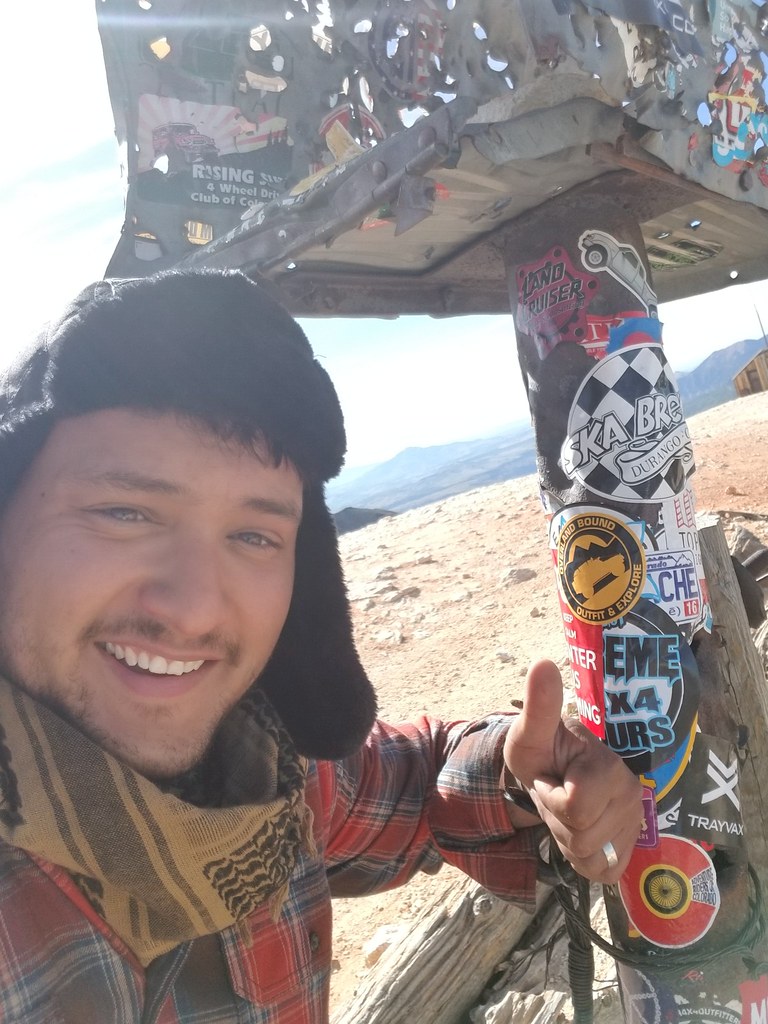
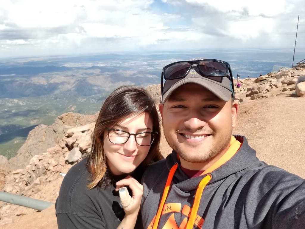
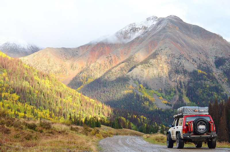
Full on burger we head out to Pikes Peak. Awesome drive up to the mountain. We were able to go up to the top, unlike Mt. Evans. Some photos in the wind and cold and we start heading right back down.
 20170914_135346
 by
Emerson Bowling, on Flickr
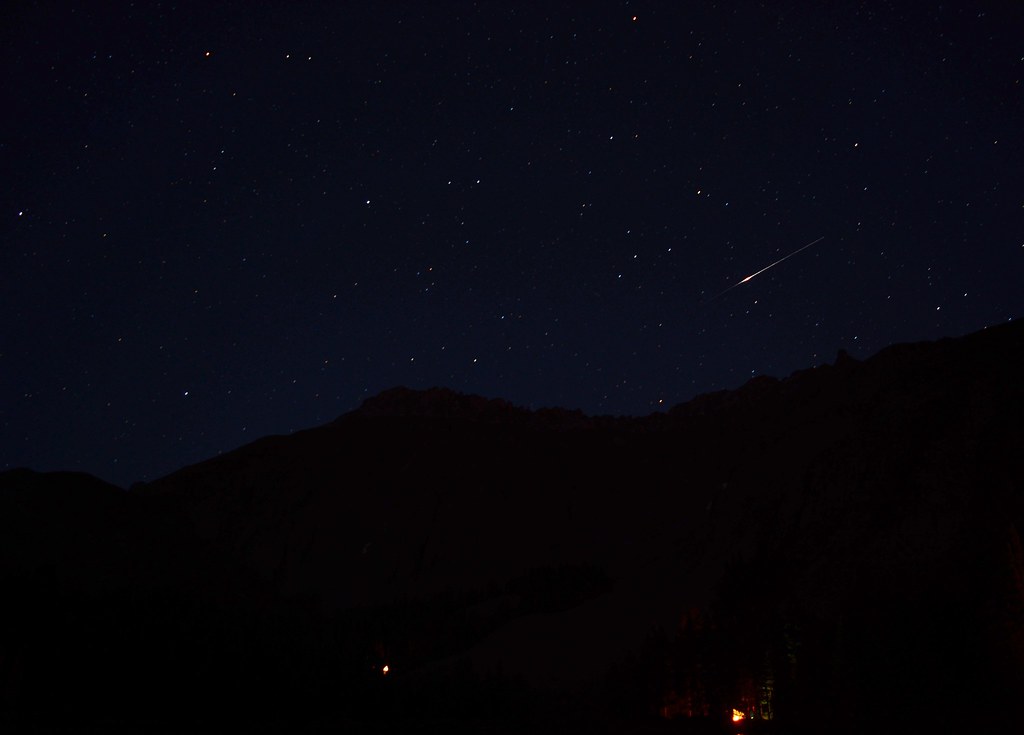
 IMG_20170916_202045_686
 by
Emerson Bowling, on Flickr
Heading to a campsite called Thunder Ridge, part of the Rampart Reservoir Recreation Area. Roll up to the site look around to find a site in a somewhat full campground. See a clean water pump, figured we were here might as well fill up cause the site we ended up settling for as nowhere near one. Pull out the container and the host comes out of nowhere and starts yelling at us that we HAVE to pay for a site before we get a drop of water. Okay lady, have all intensions on paying for site #2. No, pay first. Okayyyyy, Jesus. She literally watched me drop that site money in the deposit box before leaving us alone. Wont stay here again.
September 15th
The next morning the crazy camp host lady starts making her rounds, asking if anyone is staying another night. 3 hours before the cut off time even. We packed up and left.
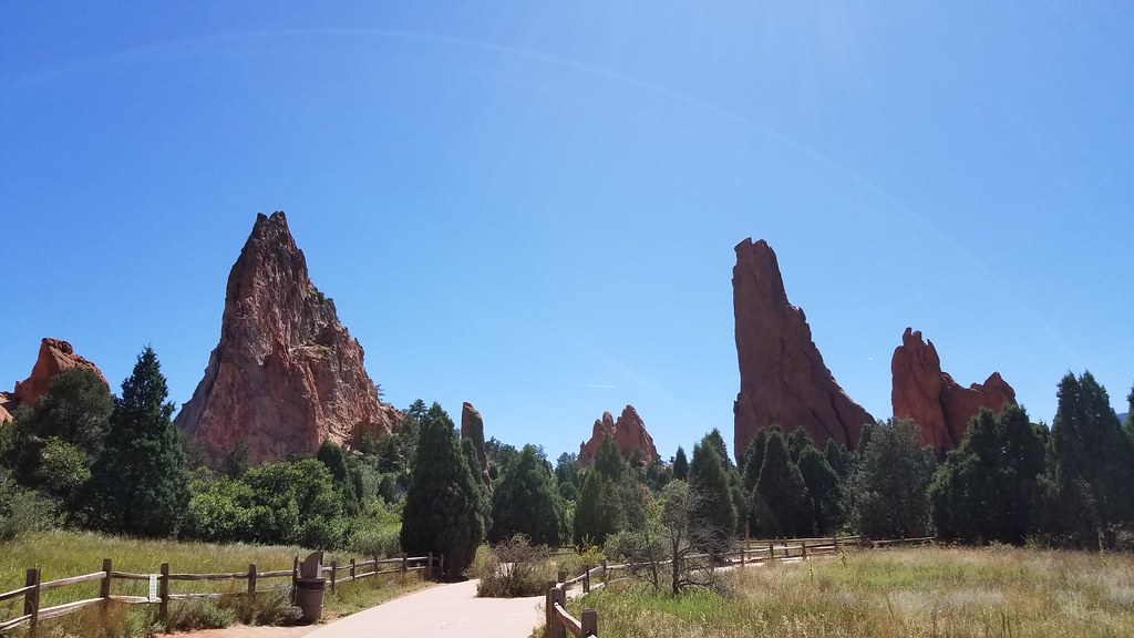
Goal today is to head west towards Ouray. But first, Garden of the gods. Really cool patch of land saved from the development of C. Springs around it. Me being into rock climbing, this way a cool stop. Climbers have set routes all over the place. Wouldn't mind at a later date just coming out for a week and just climbing the park.
 20170915_133022
 by
Emerson Bowling, on Flickr
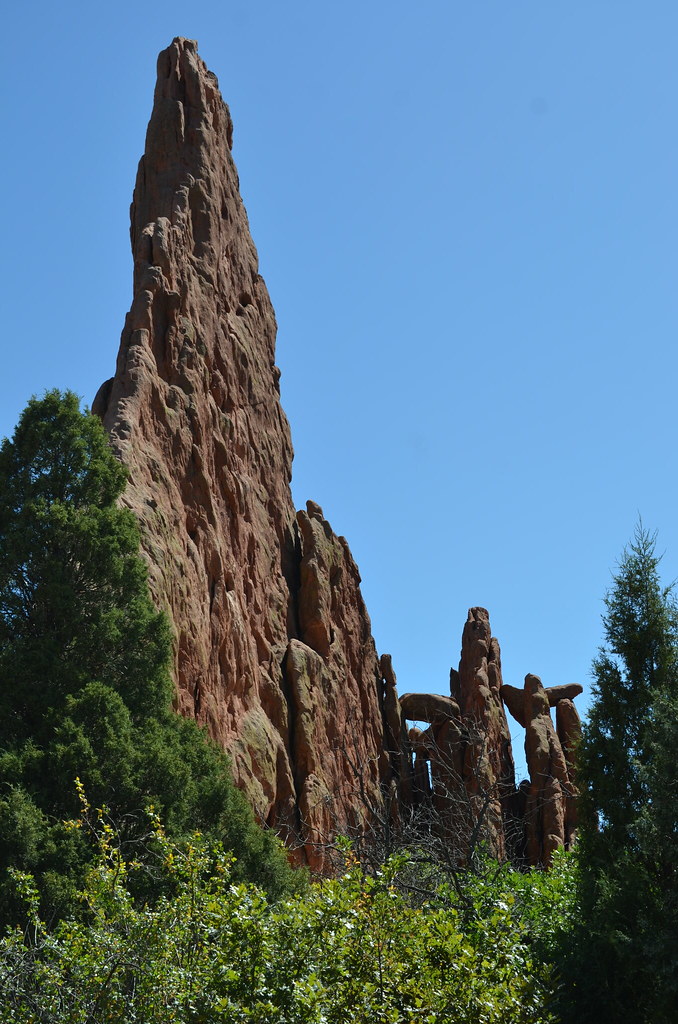 DSC_3325
 by
Emerson Bowling, on Flickr
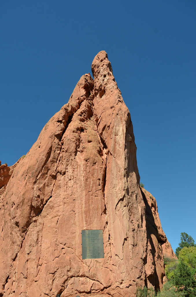 DSC_3332
 by
Emerson Bowling, on Flickr
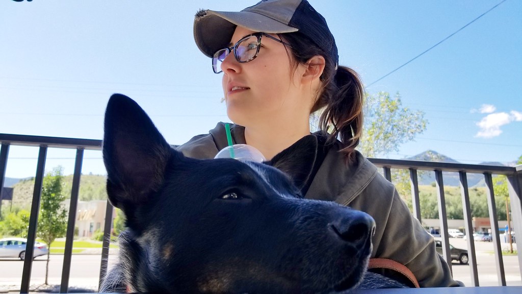
After seeing leaving the GotG we stop at a Starbucks just down road. Sitting in the sun and soaking up our latte and pumpkin muffins I couldn't help but think about how perfect everything is. Between breaking hatches and thumbs we felt like we were back in the rhythm of things. Loving Colorado and thinking about the rest of the week or so in the San Juan mountains, it is only going to get better. Twist of the key and we are back on the road. Taking 115 south out of C. Springs we turn west onto 50, this road will take us to Gunnison, CO in the area where I figured we could stop for the night.
 IMG_20170915_125322_299
 by
Emerson Bowling, on Flickr
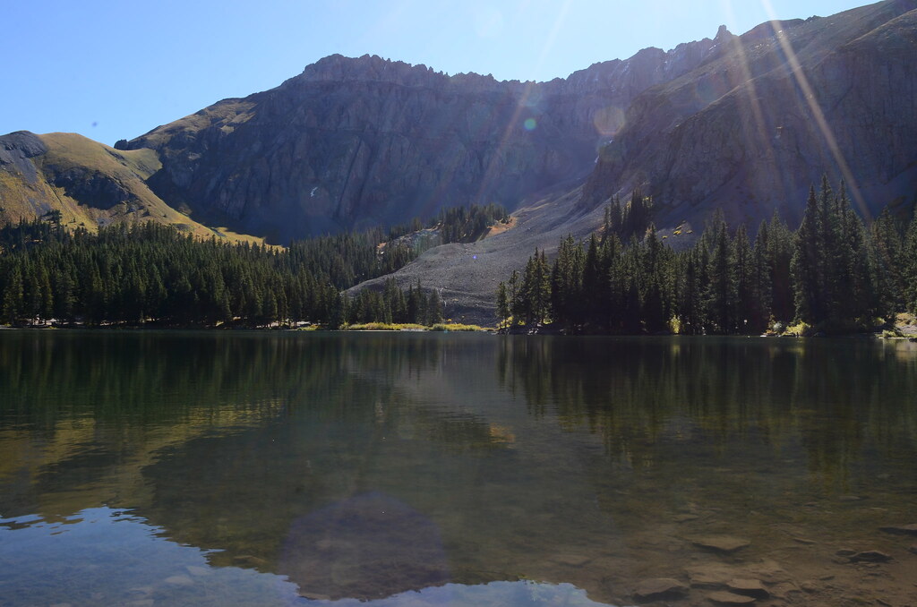
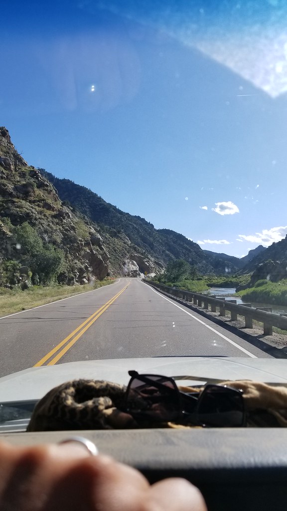
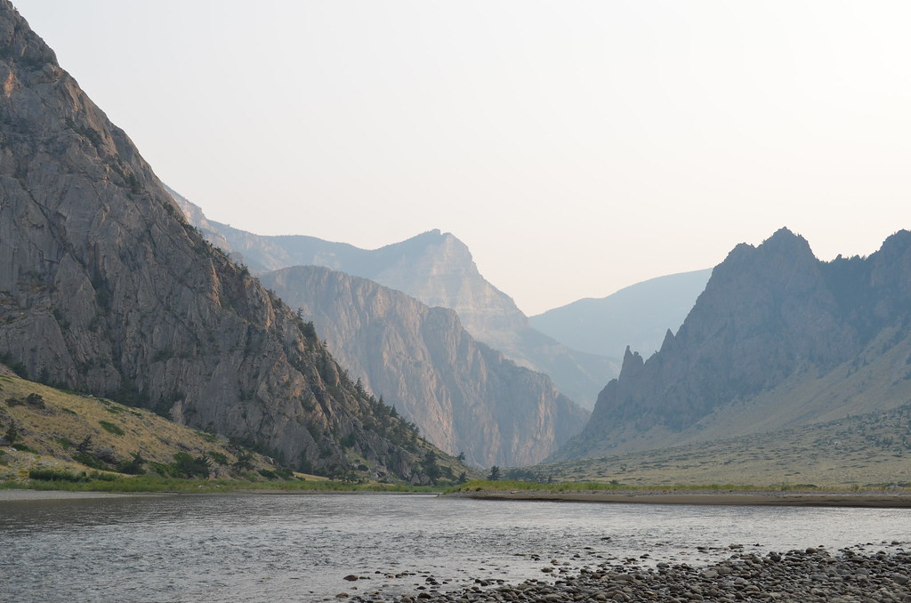
Really awesome road to travel on. Runs in a few valleys along a section of the Arkansas River and then Gunnison River. Beautiful.
 20170915_163818
 by
Emerson Bowling, on Flickr
Having really no idea where we were going to stop and losing daylight, I zoom out on google maps find a road heading into National Forest land. Found a road in Gunnison NF and set a drop point. I might mess up the following road names but after some searching while writing this, I finally found where we camped at on this night.
Turning north in the "town" of Parlin we headed up Co Rd 76 for about 9 miles into another small town named Ohio City. Just outside of town, which looked to have just a general store we turned left onto Co Rd 771. We drove up this bumpy gravel road for another 7.5 miles until we found a large pull of with a few fire rings in it. Works for me, especially with the sun going down in the valley. This spot was right off of Gold Creek in New Dollar Gulch. With the View of two peaks, Broncho Mountain and Fairview Peak, this was another one of my favorites spots.. and of course it was free. Disappointed in myself for not taking more pictures of the area.
September 16th
Woke up to the Moo of cows in the camp, the free range alarm clocks never get old. Quick Banana pancakes and coffee and I started packing up camp.
 DSC_3380
 by
Emerson Bowling, on Flickr
Heading back down the road onto US 50 we crossed a two bridges on the Gunnison river. Montrose the next city to be hit. Into Montrose we tuned south on to US 550. Ouray here we come, but first... Walmart. look at the weekly temps and seeing thast we were going to bet at altitude for the next week we need to stock up on some cold weather gear, couple fleece blankets,some button up long sleeve shirts, sock hats and we were set. Back on US 550 south we get just north of Ridgeway and spot the Ridgeway Reservoir/ Ridgeway State Park. The reservoir has a beach that you can drive on right up to the shore and having never driven on one before we figured we might as well, we have time.
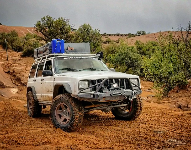
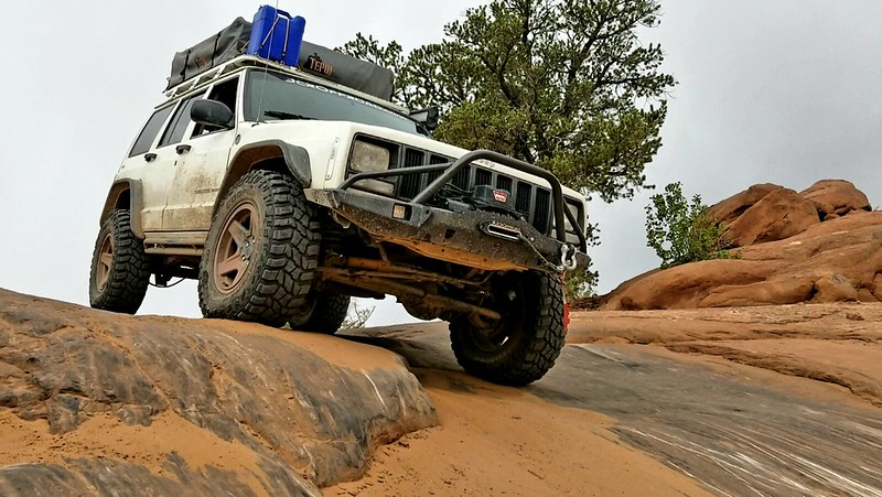
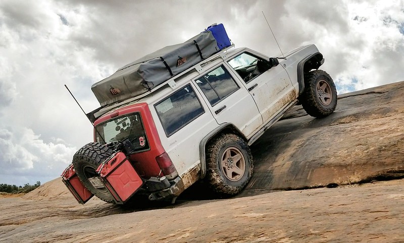
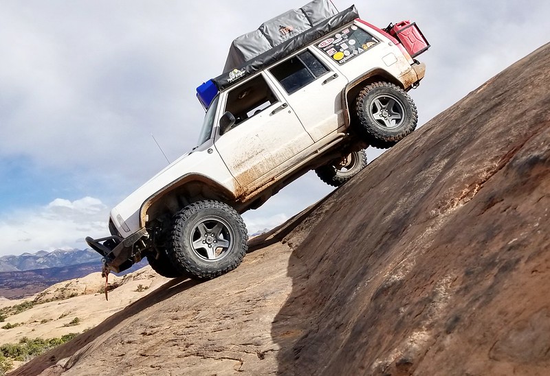
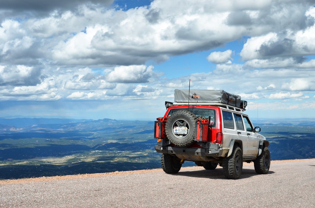
Parked on the beach we run Domo to burn off some energy and I take a few pictures of the Jeep.
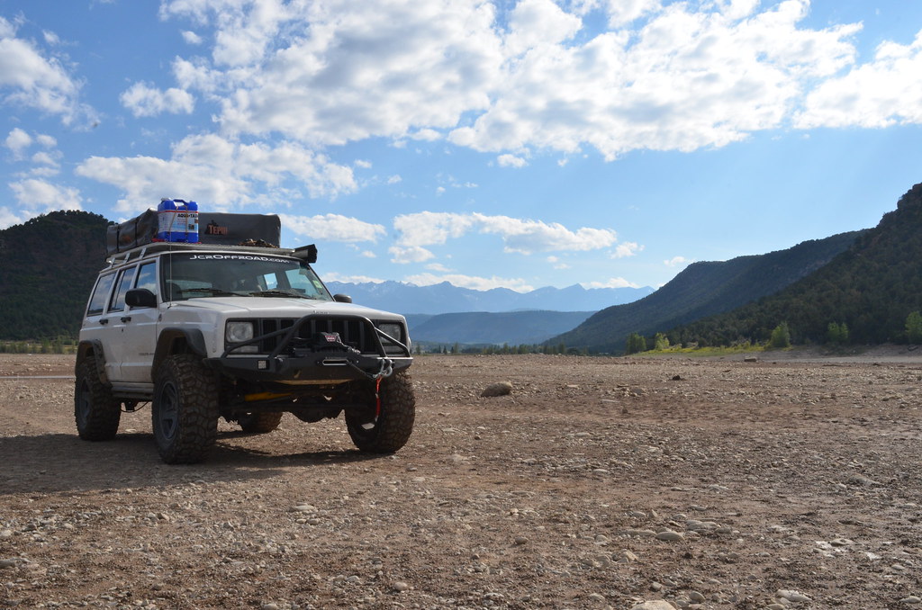 DSC_3385
 by
Emerson Bowling, on Flickr
Again packed up, we finally make our way into Ouray. OH MY. Absolutely stunning, no wonder its such a huge tourist spot. Tiny town nestled in a bowl with walls of mountain in every direction. Quick google we find a dog friendly place to eat, Gold Belt Bar and Grill. Buy up a few Colorado brews and a pizza.
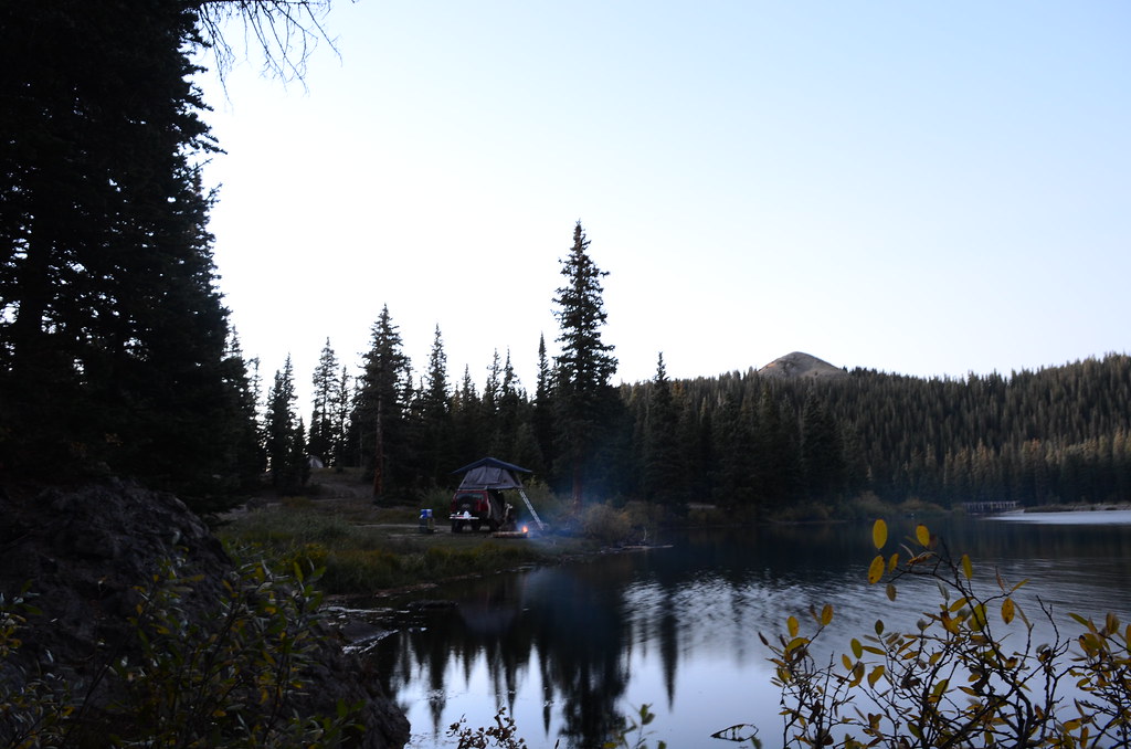
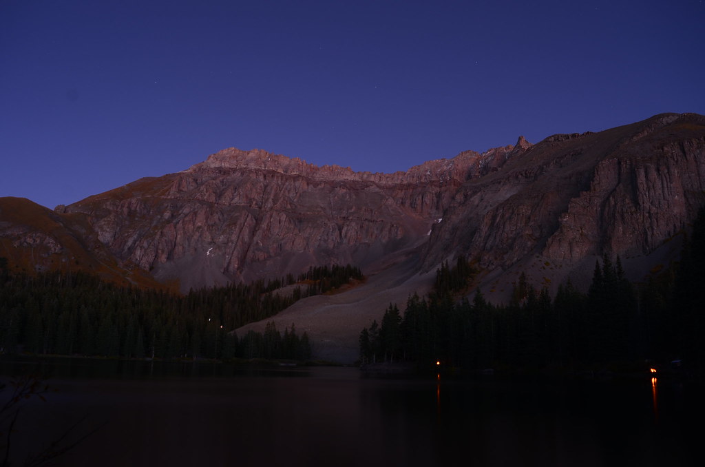
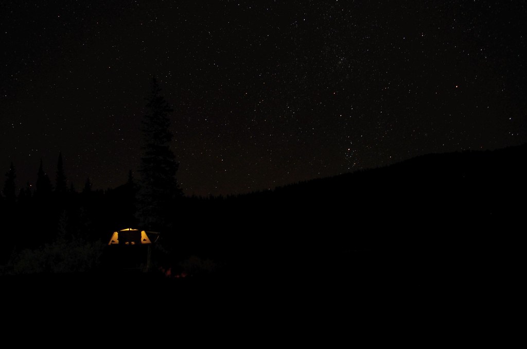
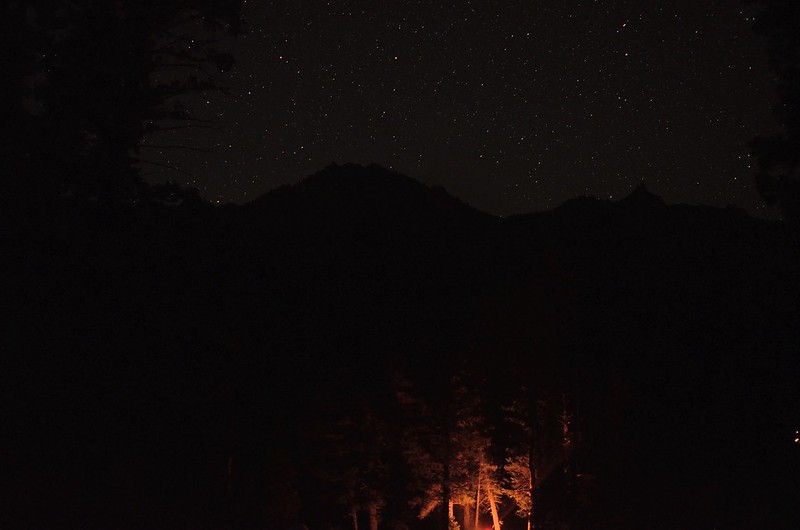
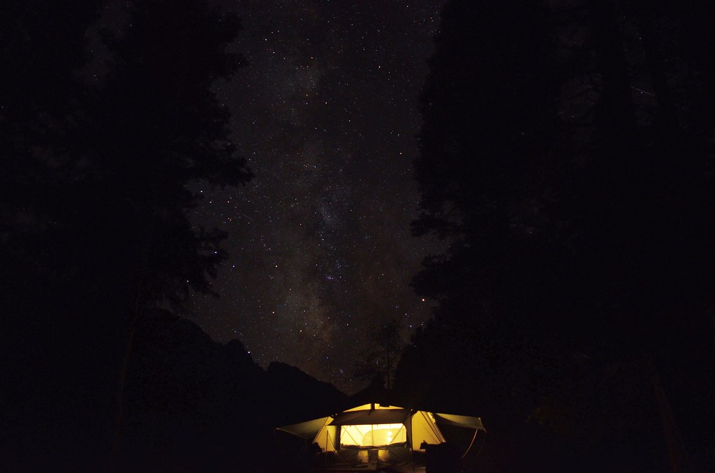
Shock number one of Ouray, EVERYTHING is expensive. Put down most of the pizza and box the rest for later I google a spot for the night. Angel Creek Campground, very primitive and a very rough road in the campground. Almost wanted to stop and disconnect the swaybar because it was that rough. Get to the back of the campground and found a good site. Someone even left us some firewood, thanks previous resident of site #8. First night in the San Juans, clear skies.
 IMG_20170916_210854_929
 by
Emerson Bowling, on Flickr
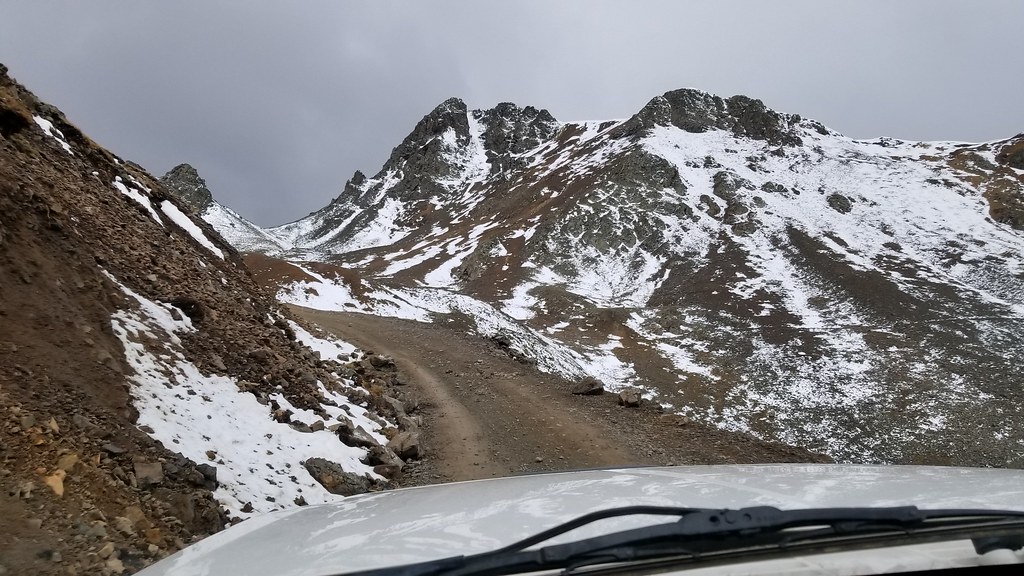
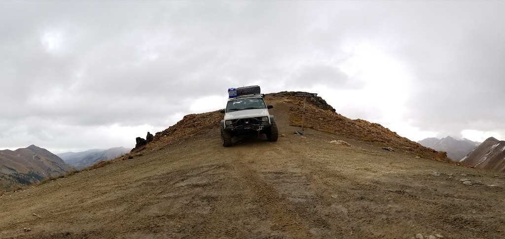
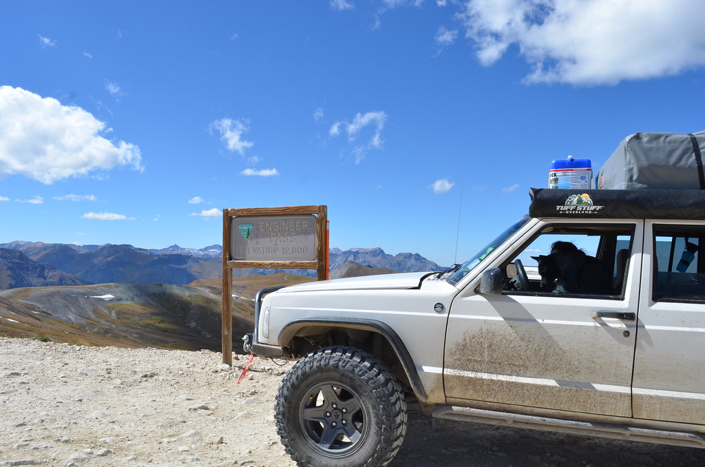
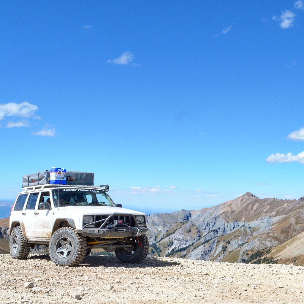
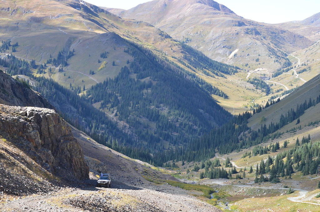
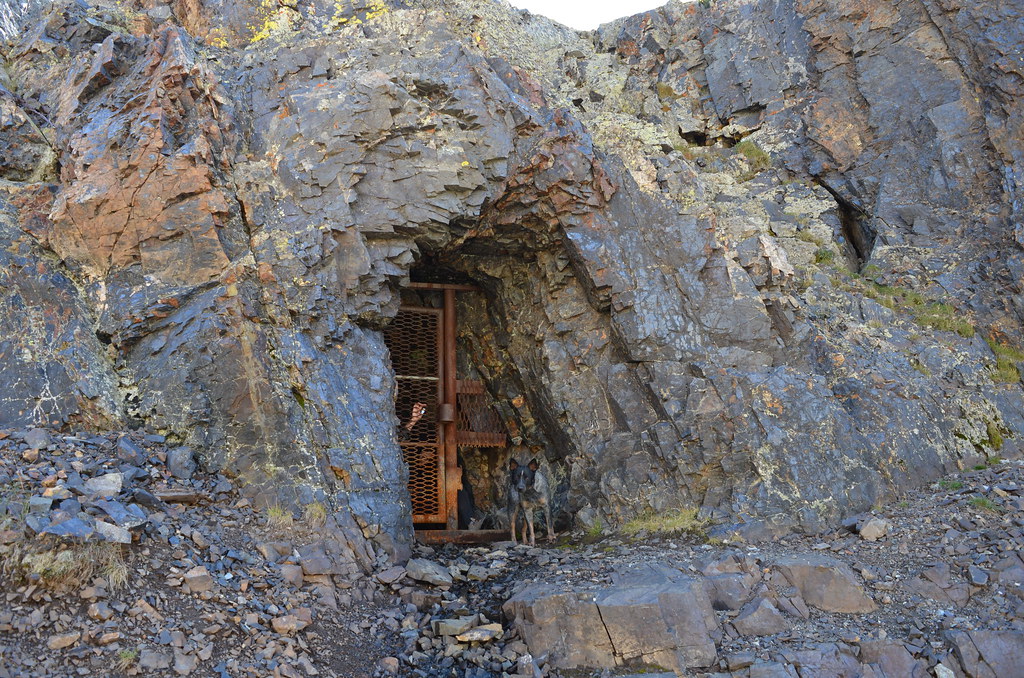
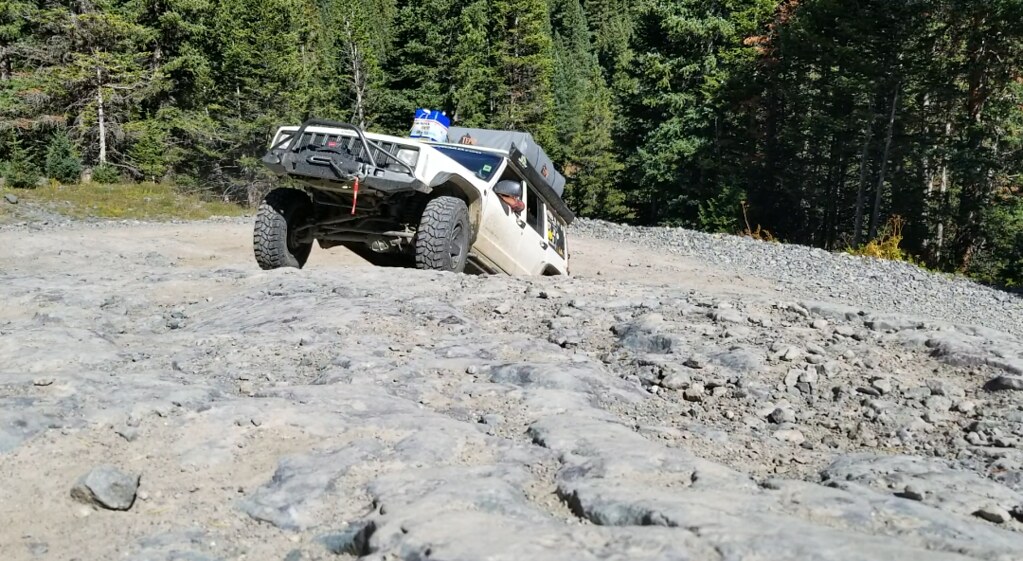
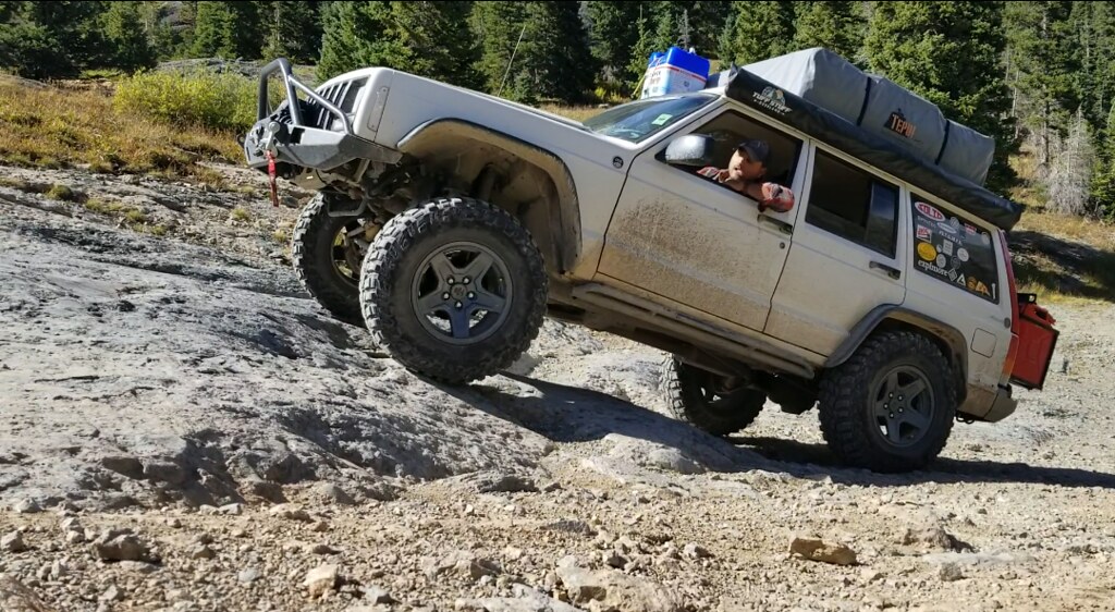
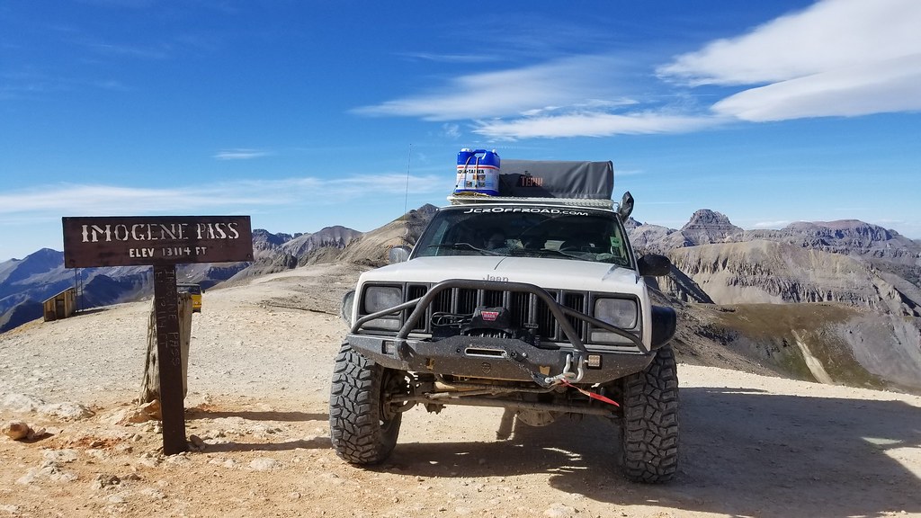
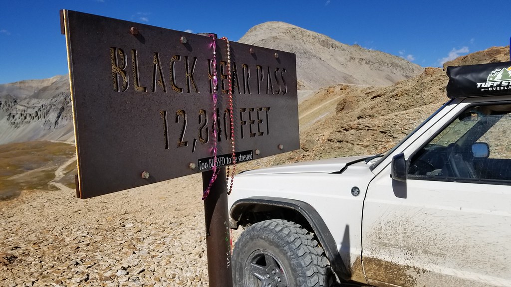
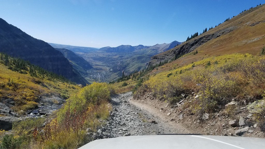
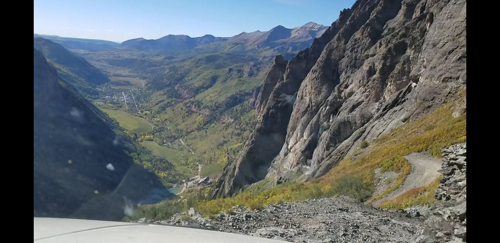
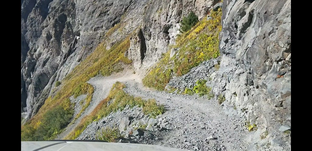
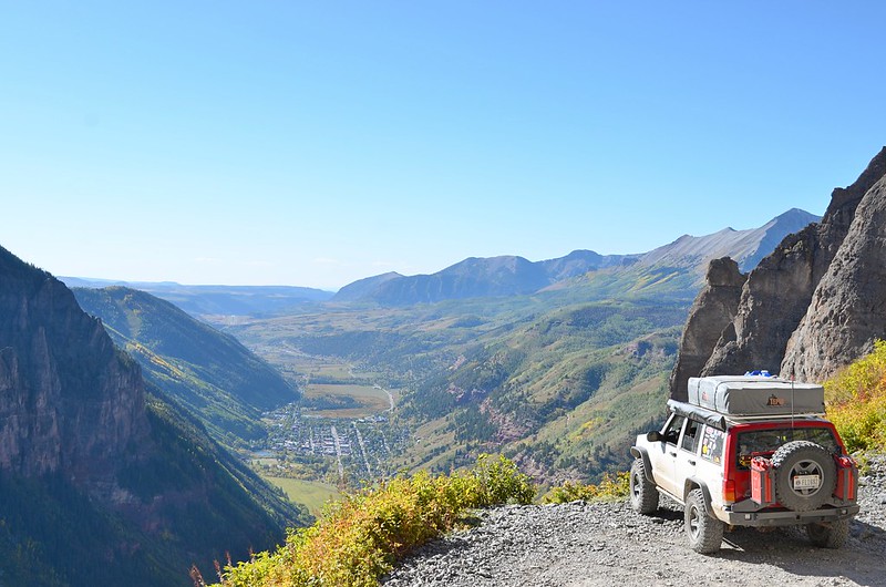
The next few days are going to be eventful, Alpine Loop, Poughkeepie Gulch, Imogene Pass and Black Bear Pass.
To be continued...


 Clark Fork along Morrison JT
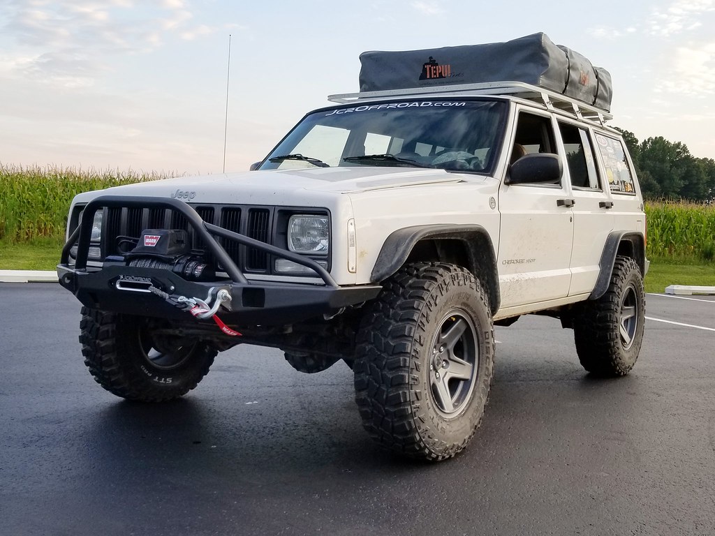 Money shot
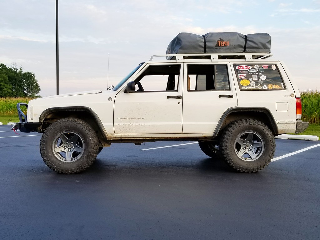 Added weight needs added lift
 Loaded Up
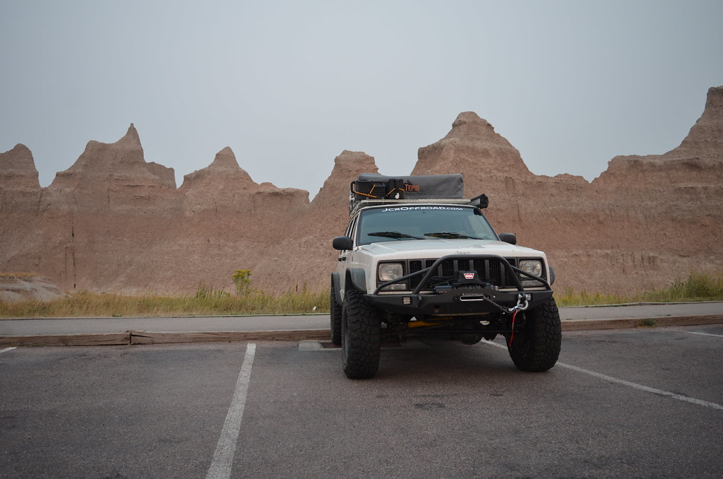 Jeep in the Badlands
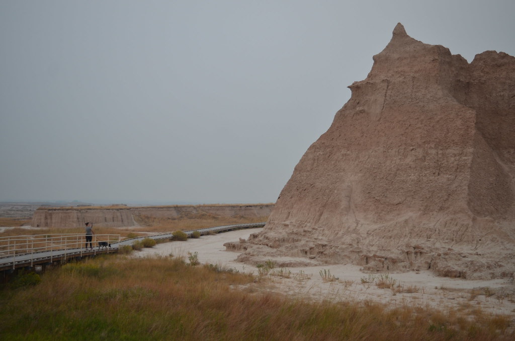 Badlands NP
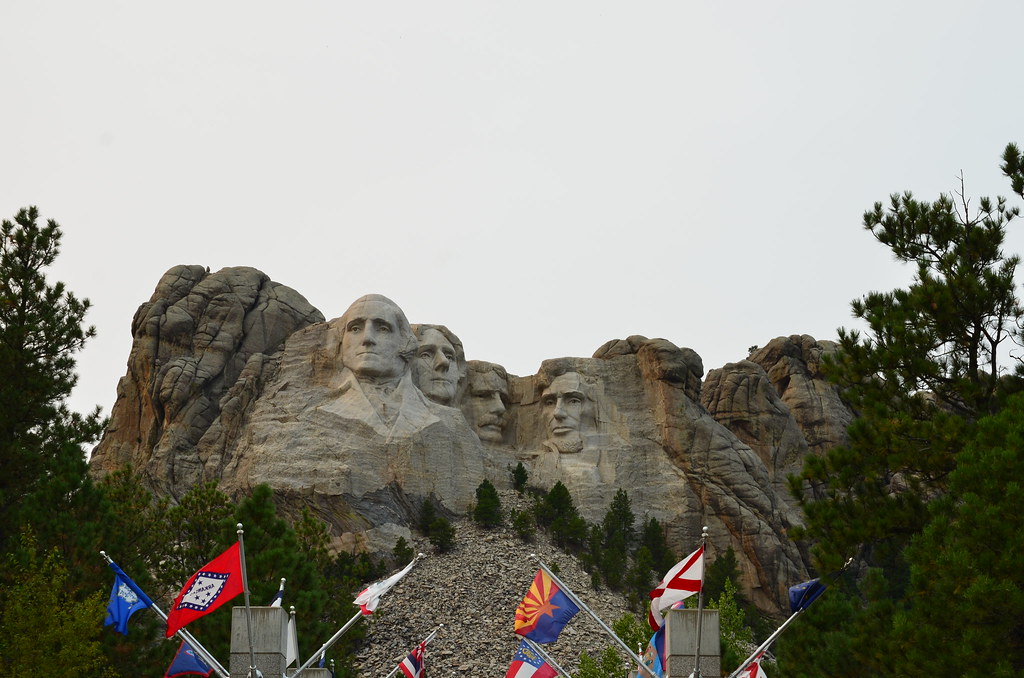 Rushmore
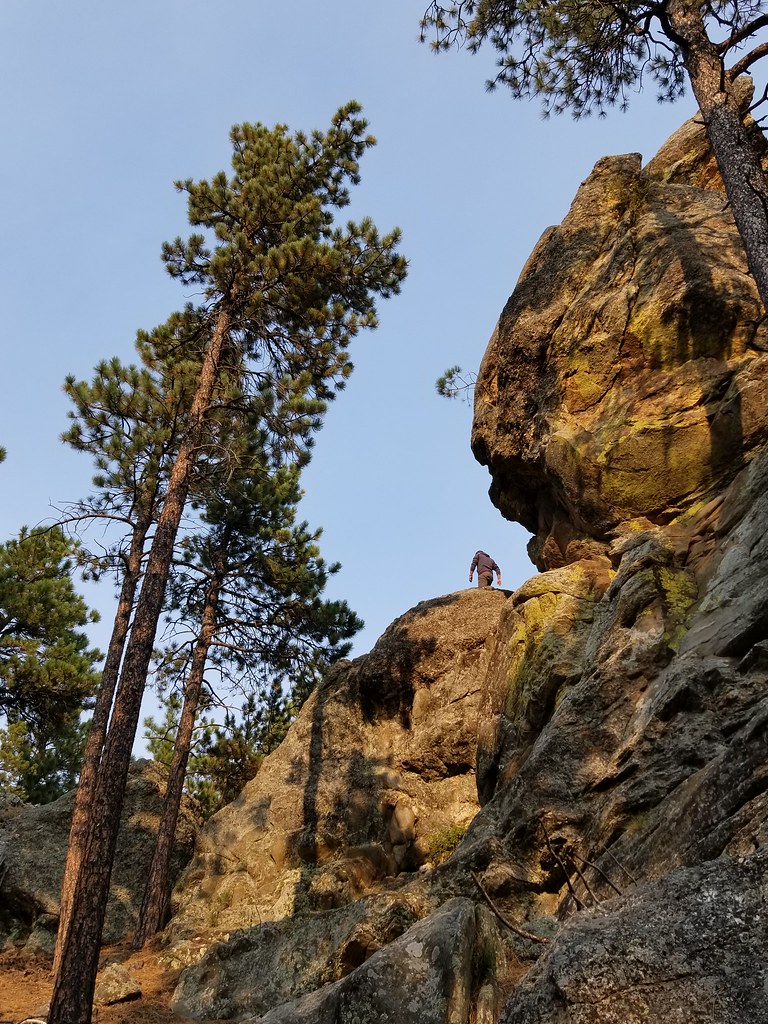 Black Hills
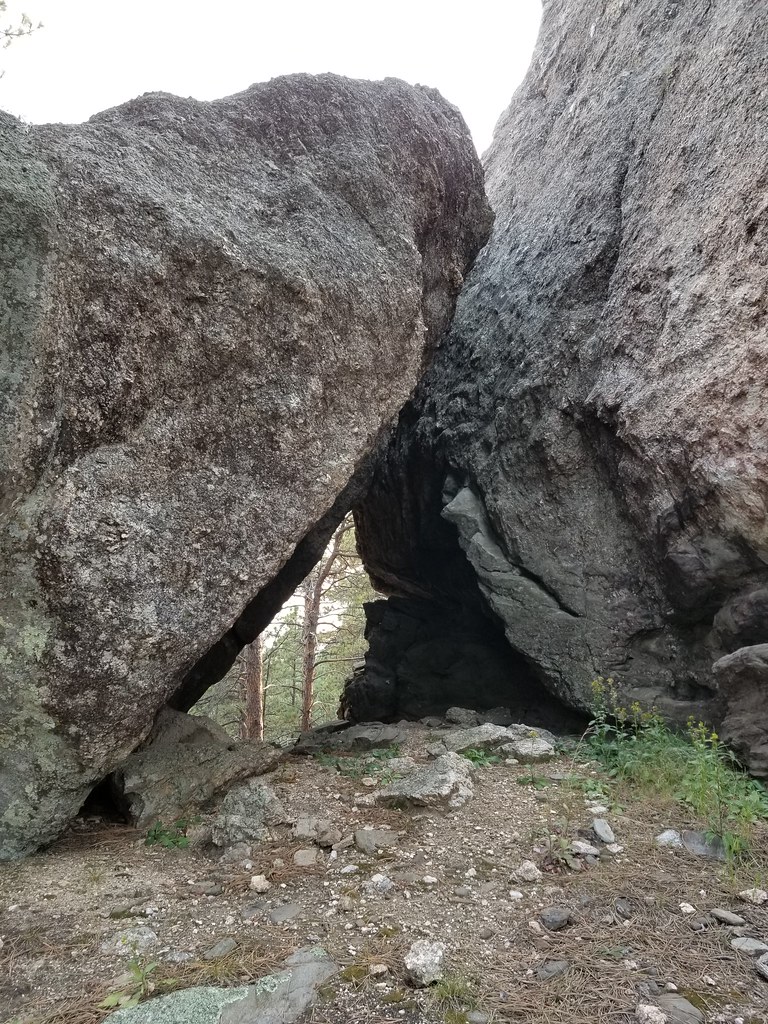 Boulders
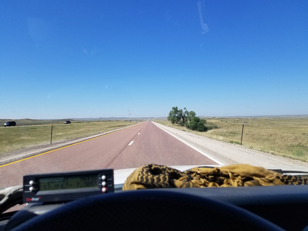 Road to Wyoming
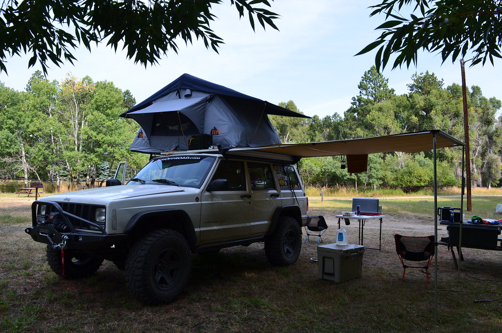 Story Campsite
 Battle on the Hill
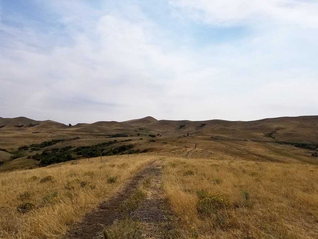 Battle on the Hill Trail
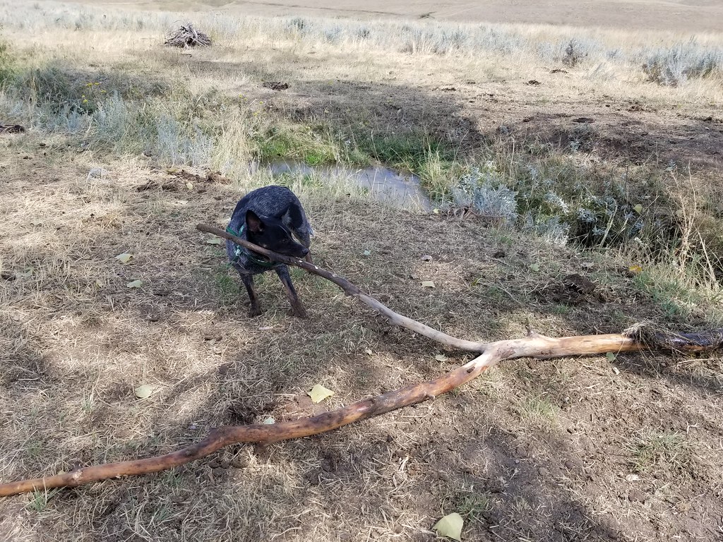 Domo found a Stick
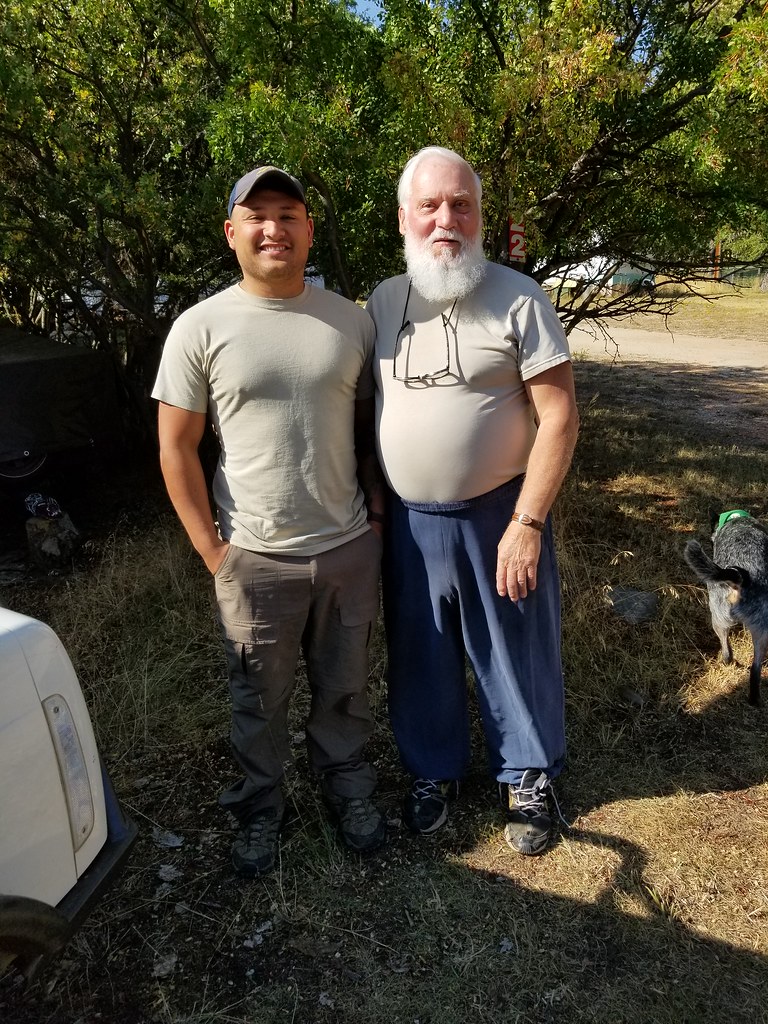 Jumpers
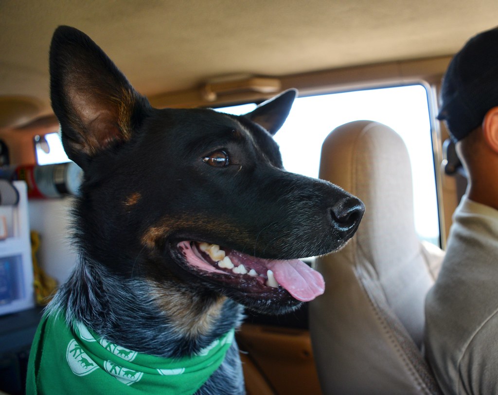 Domo
Domo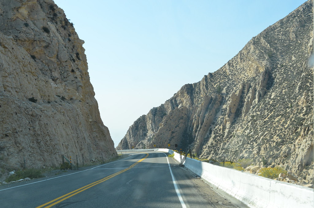 DSC_2923
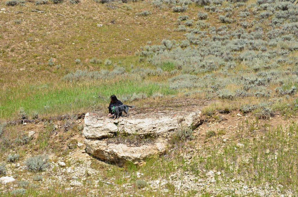 DSC_2887
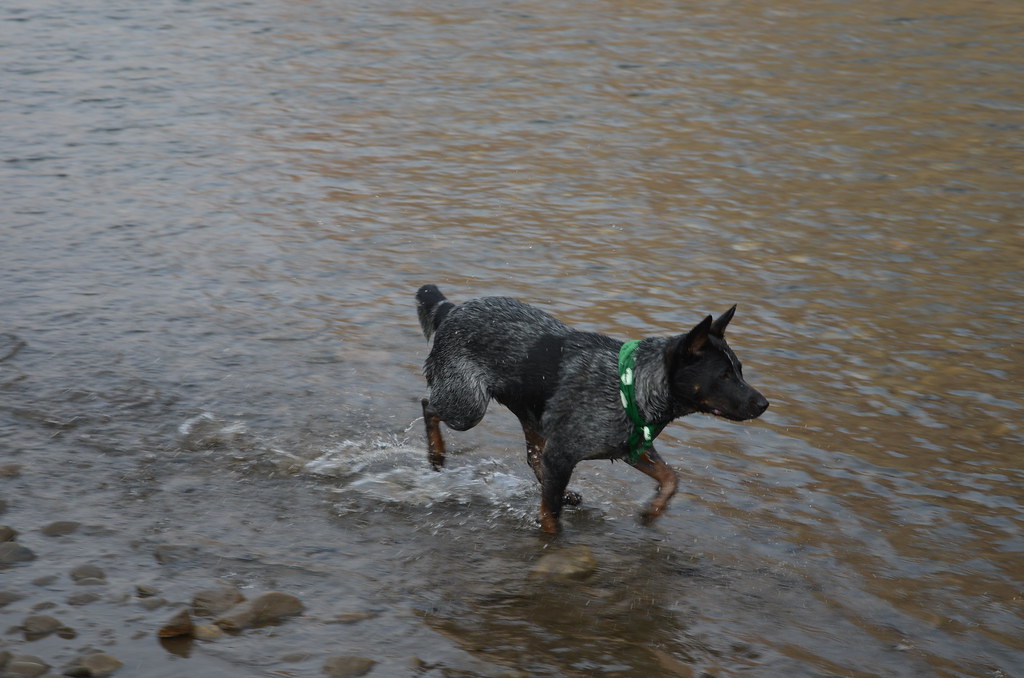 Domo in Clark Fork
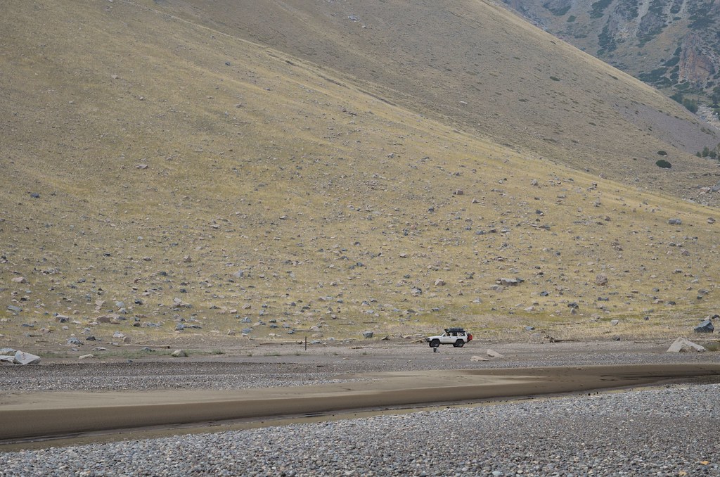 Jeep in on Morrison
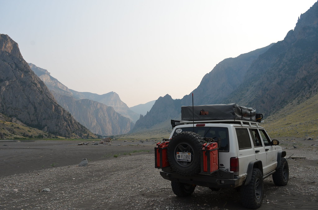 Morrison Valley
 Checks
 Breaktime
 up, up, up
 We made it faces
 Start of 120
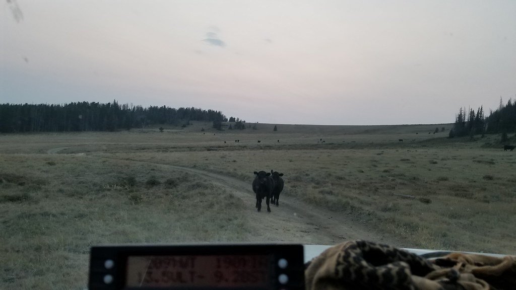 Mooove
 Forest Road 120
 DSC_3021
 DSC_3096
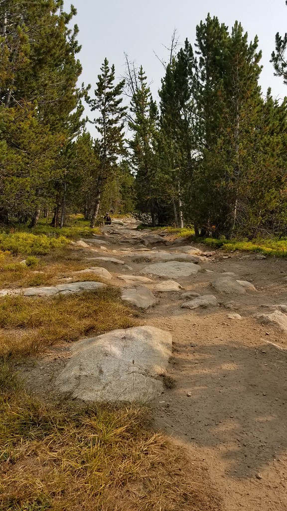 20170908_103424
 DSC_3170
 DSC_3169
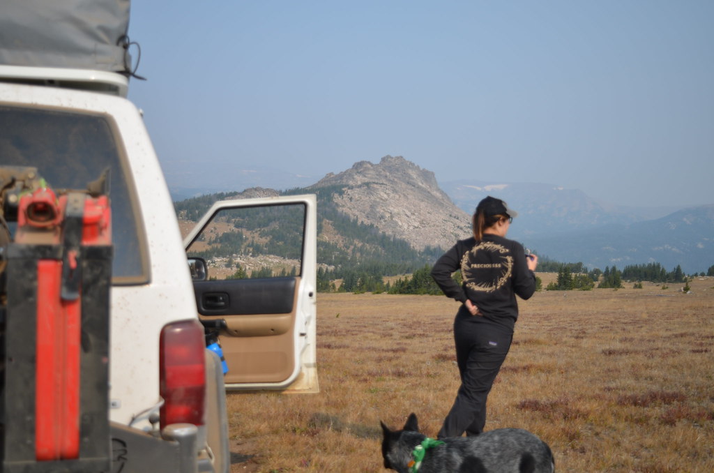 DSC_3146
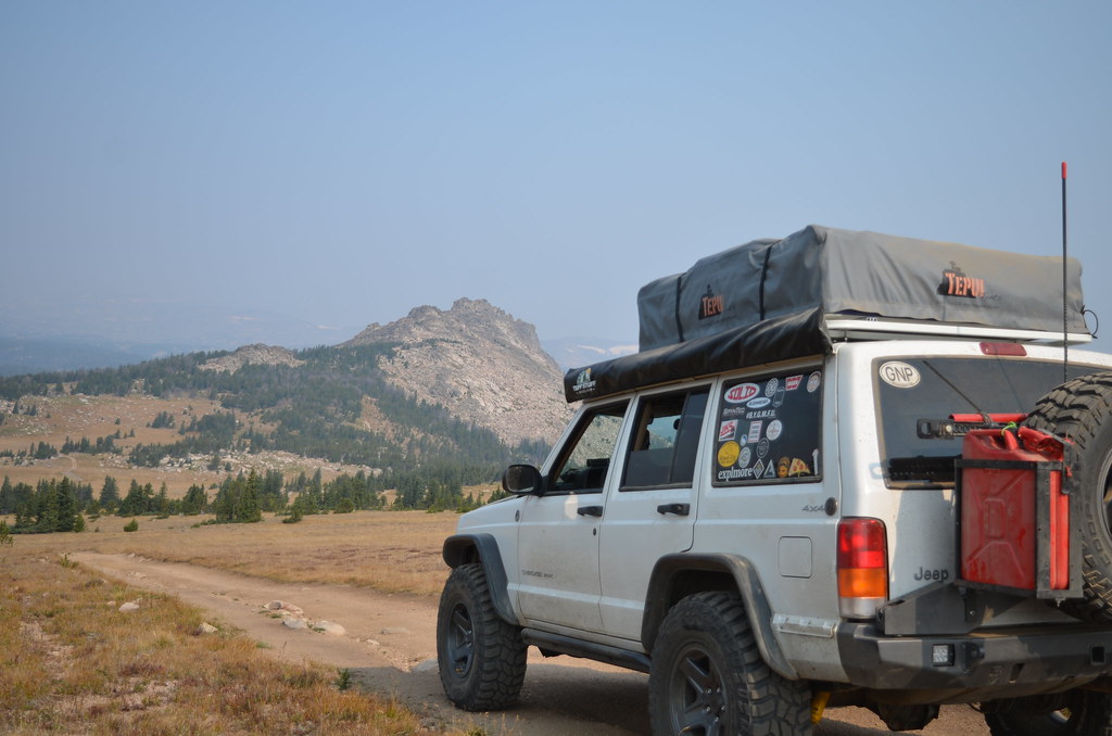 DSC_3144
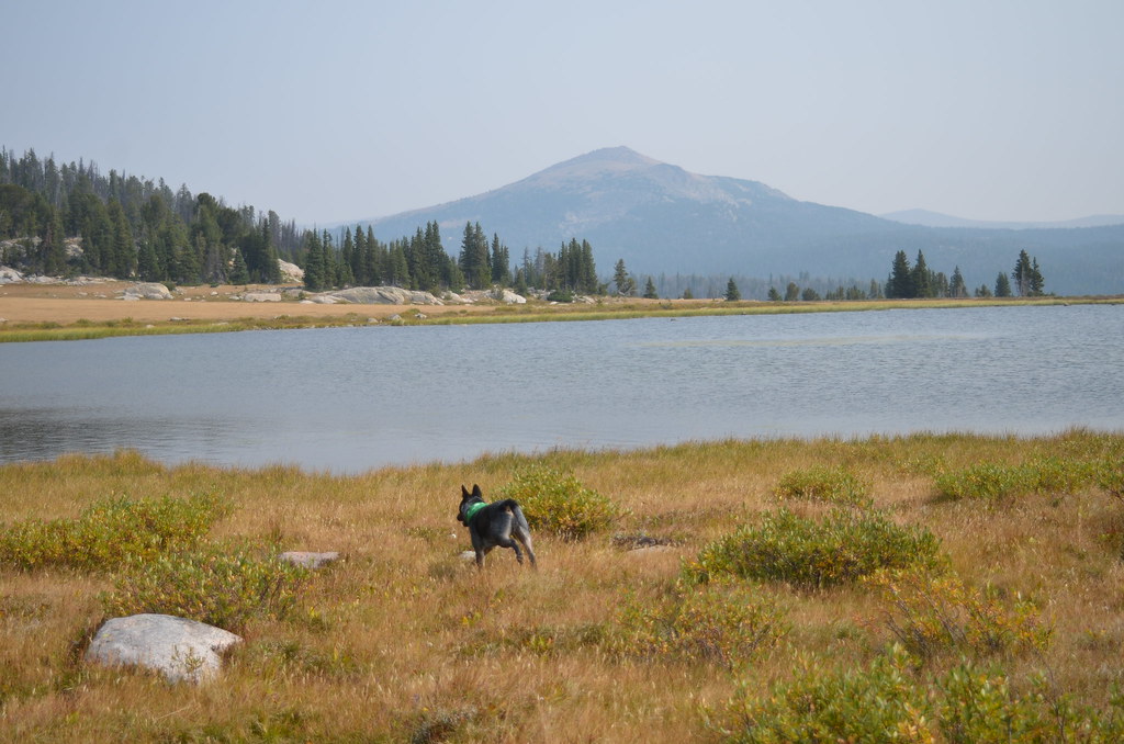 DSC_3176
 DSC_3186
 DSC_3204
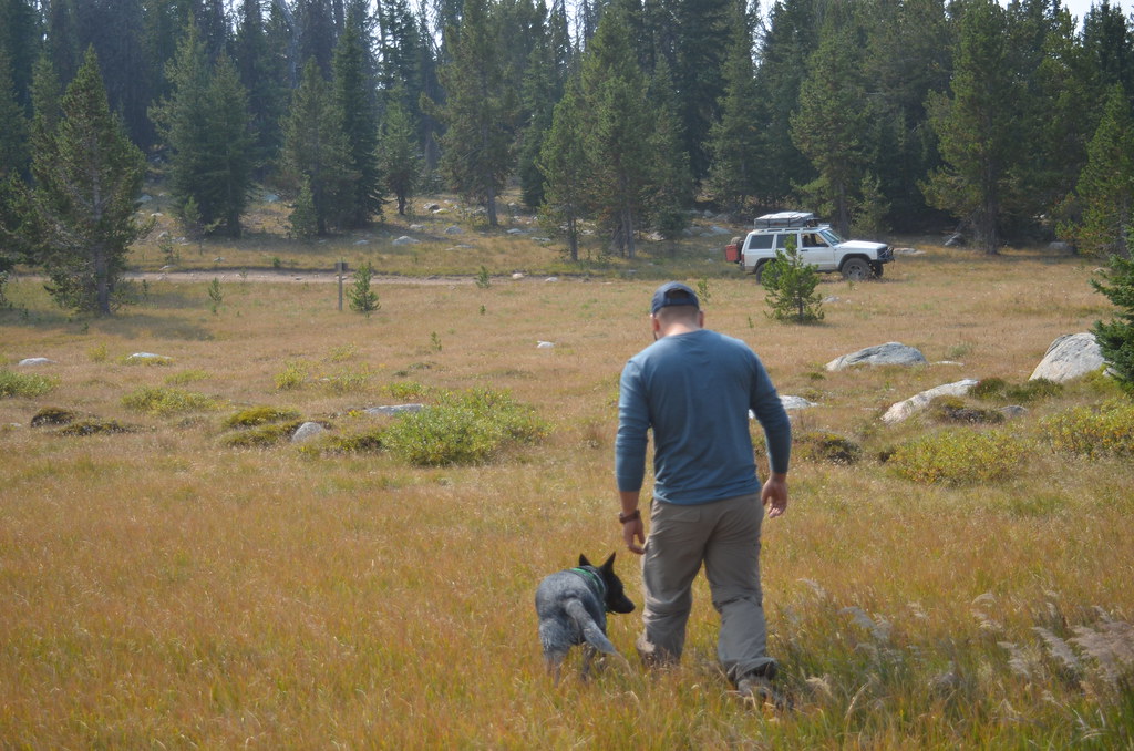 DSC_3208
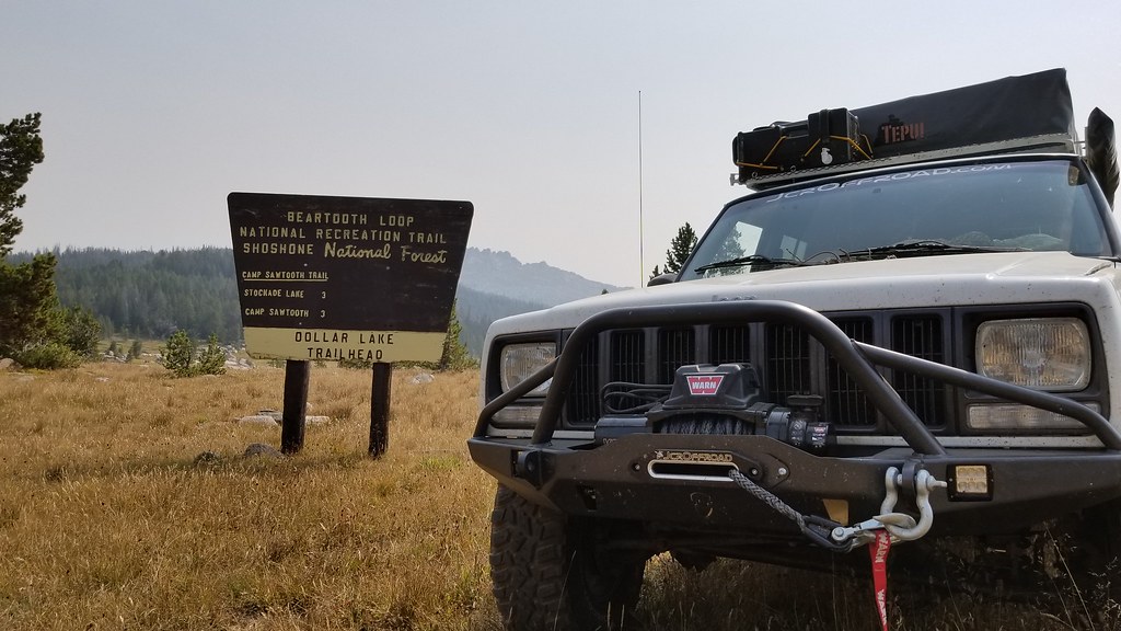 20170908_120032
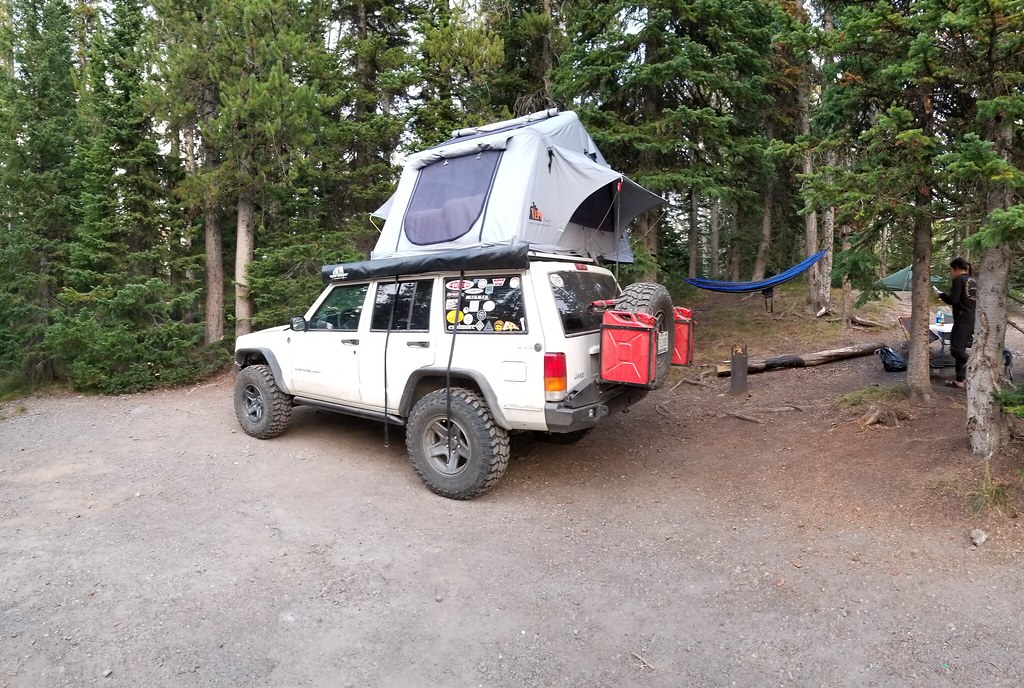 20170908_192910
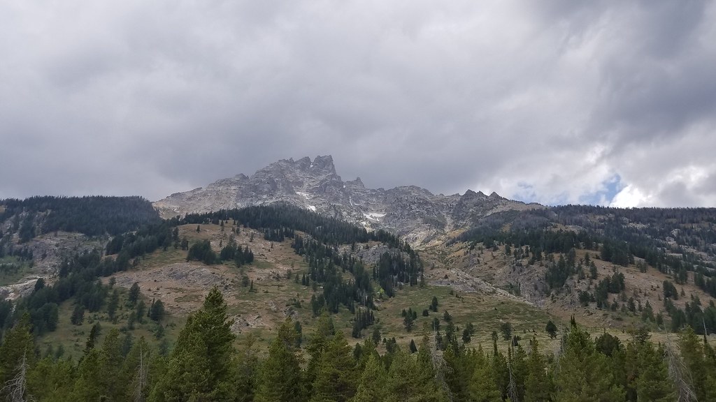 20170909_134028
 20170909_122334
 20170909_173414
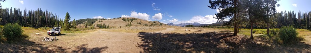 20170910_113921
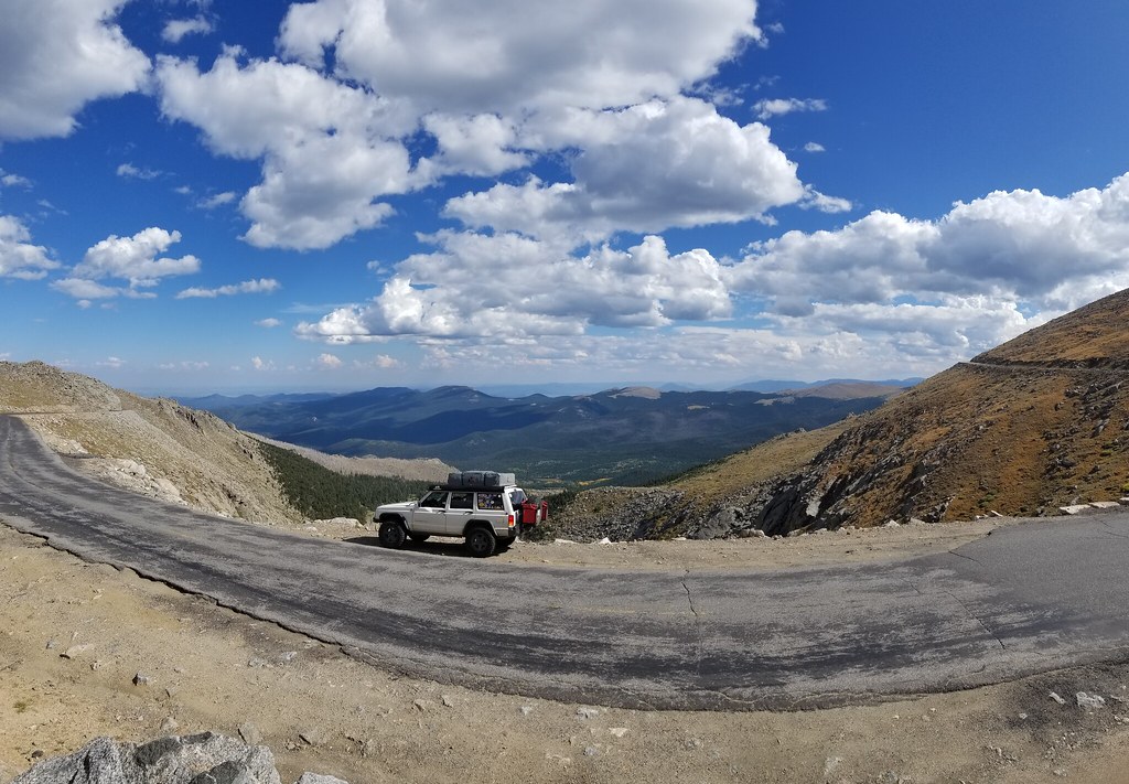 20170912_151731
 received_10154923273093499
 Screenshot_20171121-183516
 DSC_3229
 20170912_141815
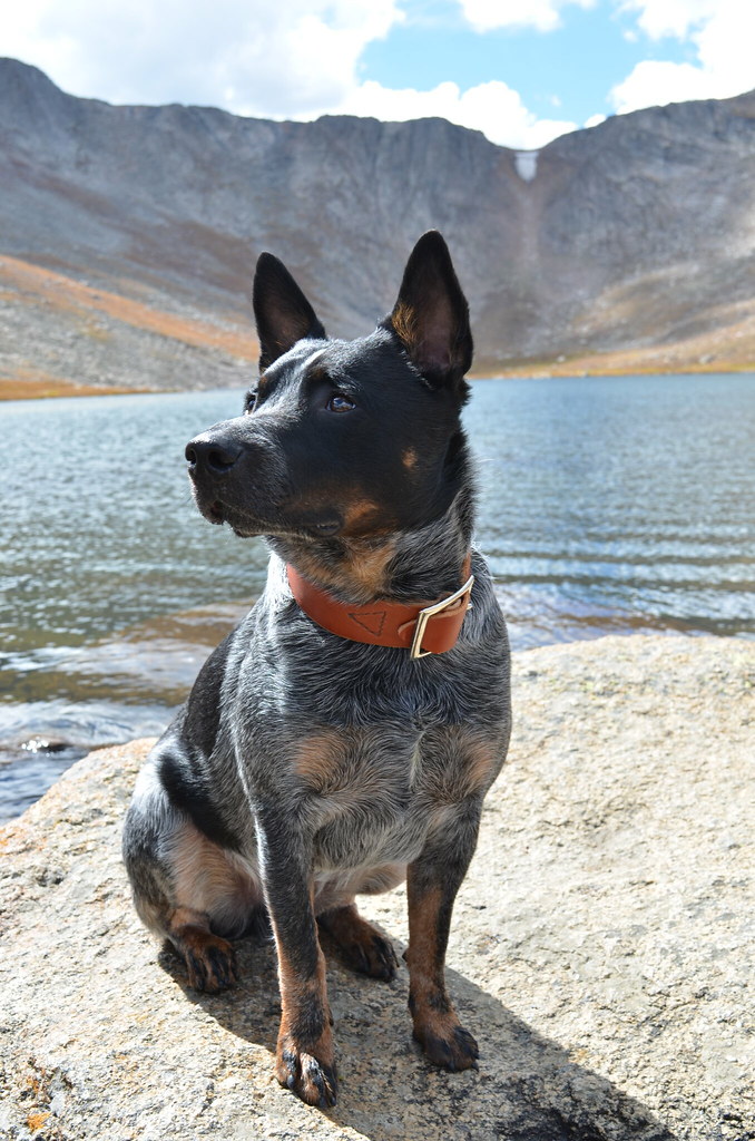 DSC_3253
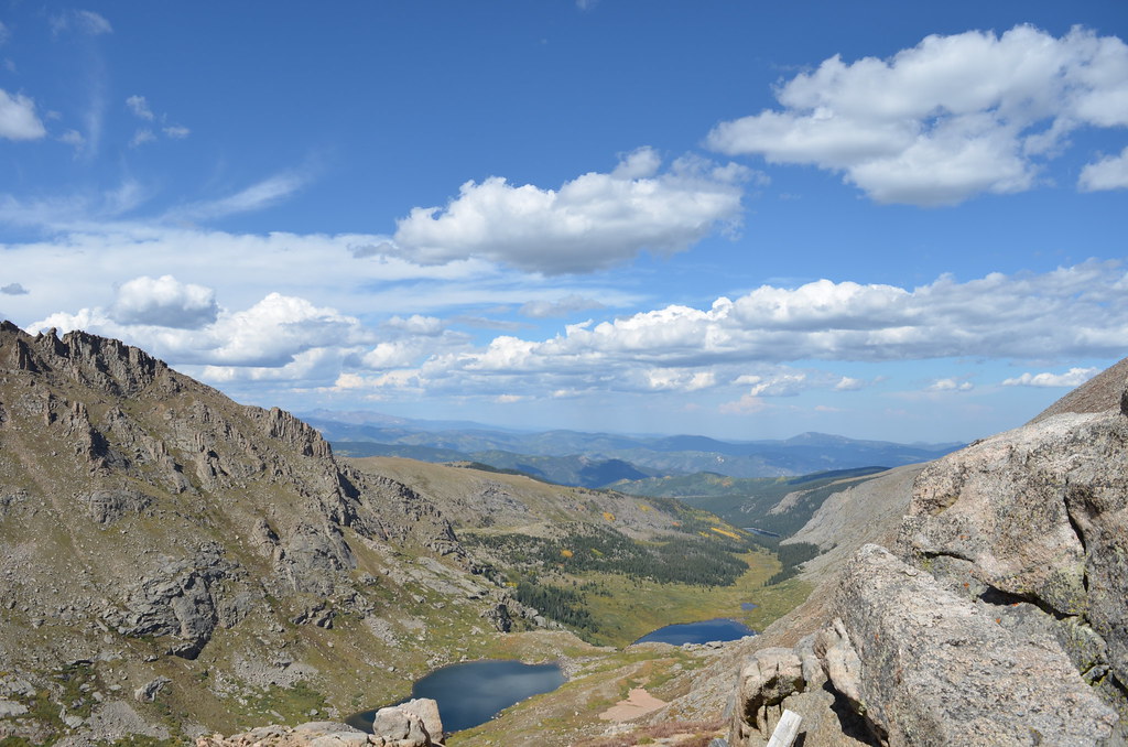 DSC_3274
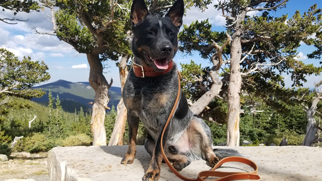 20170912_153705
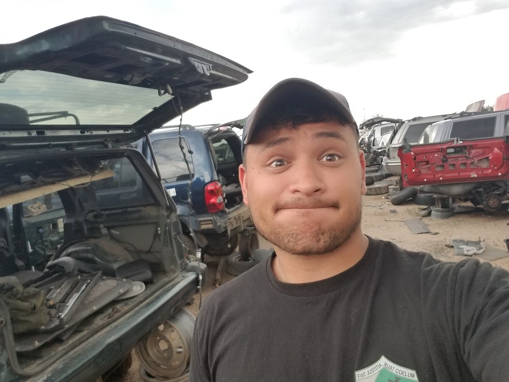 20170913_142656
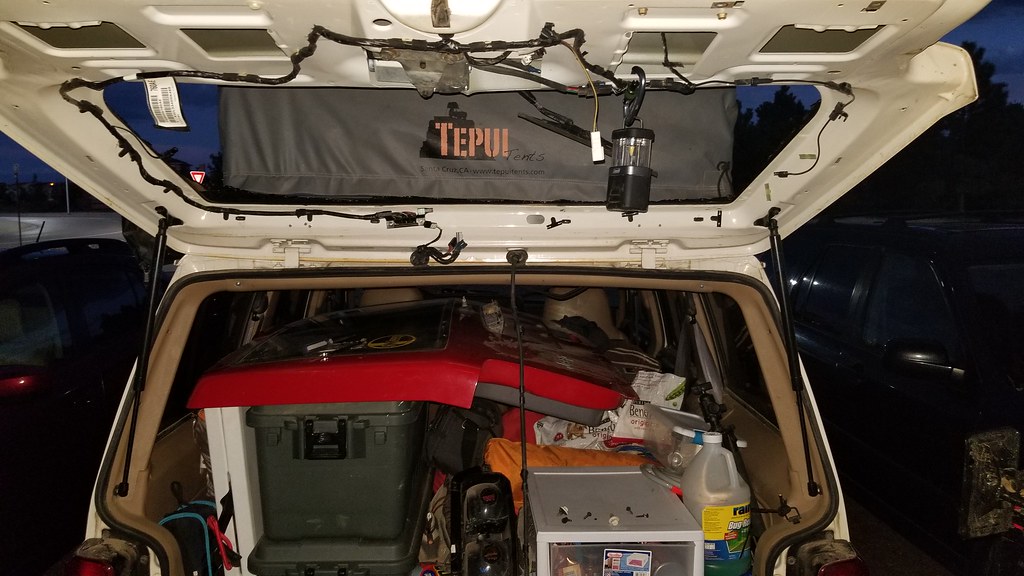 20170913_193204
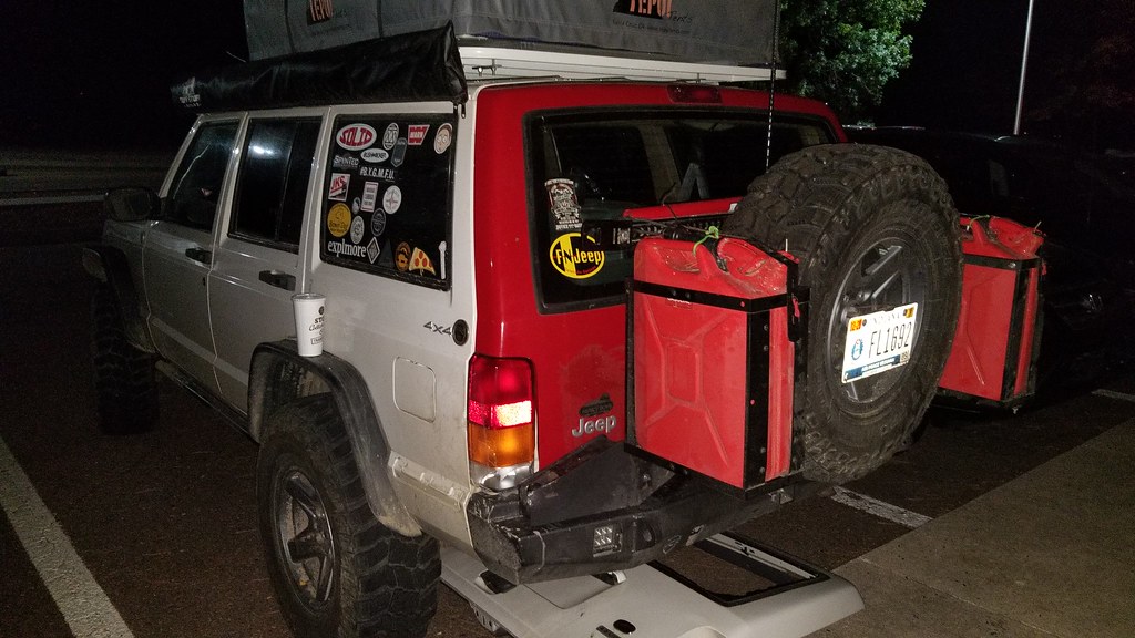 20170913_205759