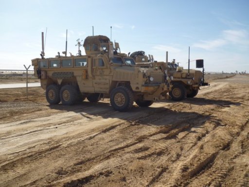
I just started a project where we are converting an Isuzu/GMC cabover. It weighs about 25,000 pounds and was wondering where to start for recovery gear.
Secondly, GAIA vs onX vs Garmin overlander for a beginner to get offline maps? This truck in addition to the weight will be right around 13 feet tall. I saw that Garmin let's you input size and weight of vehicles and adjusts routes accordingly. Is this right as far as knowing height and weight restrictions? Will GAIA and onX do this too?
Starlink for internet or is there a better solution?
And anything any of y'all wanna throw in will be much appreciated.
Thanks