

Traveler I
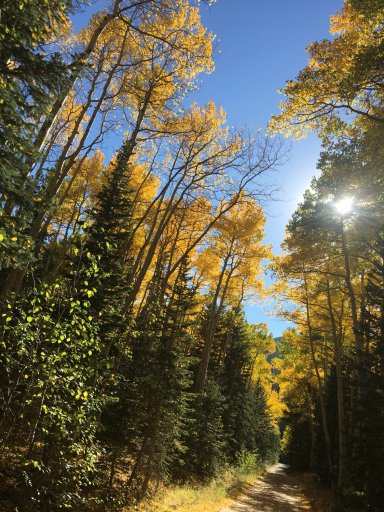
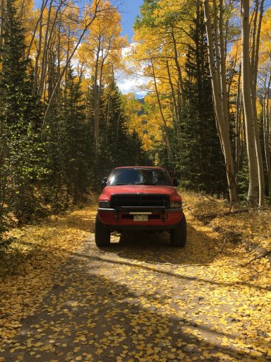
Finally put the new rig through its paces this weekend! The 4.56 gears made a huge difference in its crawling abilities! Here are a couple pictures I took of fall changing in the Rocky Mountains! 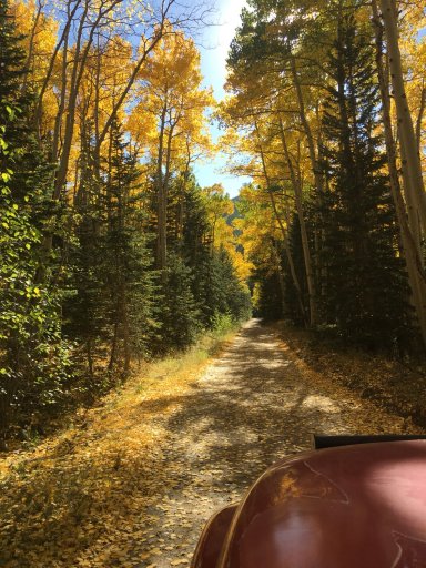
Traveler I

Member III
9519

Influencer I
Did you do the route that you were thinking about?Finally put the new rig through its paces this weekend! The 4.56 gears made a huge difference in its crawling abilities! Here are a couple pictures I took of fall changing in the Rocky Mountains! View attachment 69126View attachment 69127View attachment 69128View attachment 69128
Traveler I
Influencer I
Traveler I
What are some of the mapping software that can be used? And how did you download the map? Just off the app?I gotcha thats a cool area when it goes right! Still is though. You were wanting get off 44h rd go up ballard to donner pass and back over to 44h to pingree? Yeah the signage isnt very good. There are better mapping software. But I found downloading google maps of thr area work well. Can run them on your phone even with no cell service. there is a cool lookout around that area too.
Influencer I
Traveler I
Really dry and dustyI was wondering what the mountains was looking like, we drove back from our trip to the Grand Canyon yesterday. But drove through the rockies in the dark. Got to go for a drive this weekend for sure.
Influencer I
Traveler I
Yeah, that’s when I was up near Donner Pass. Hot, dusty, and just annoying weather, especially when you are following other friends in their rigsWe went to Rocky Mtn National Park on saturday todo some hiking at wild basin and was 82 degrees up there. Way to hot and dry. Was a nice hike though
Influencer I

