
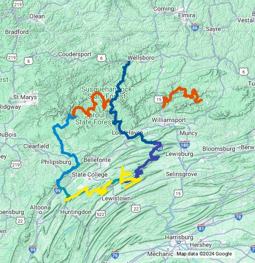
Ok. So since this has been fun seeing this in the other apps and to showcase how many more miles exist in each Map...i added in my Rothrock and bald eagle fall foliage routes
Purple Lizard Maps for routes
 goo.gl

Purple Lizard Maps for routes
Purple Lizard Maps for routes - Google My Maps
Routes that connect Purple Lizard Maps and allow for planning a trip. You can head to the closest set in point, see where fuel and food is, search attractions, etc. and eventually as this is a work in progress...


