To start, I should mention that this system of trails has multiple names. Depending on the source it may be called the Pardoe Trail, Carson Emigrant Trail, Squaw Ridge Trail, or Hungaleti Ridge Trail and may be marked as 17E24 or 16E26. A couple of the trails were closed for several years as part of the 42 trails lawsuit against the Eldorado NF but have since been reopened.
Location
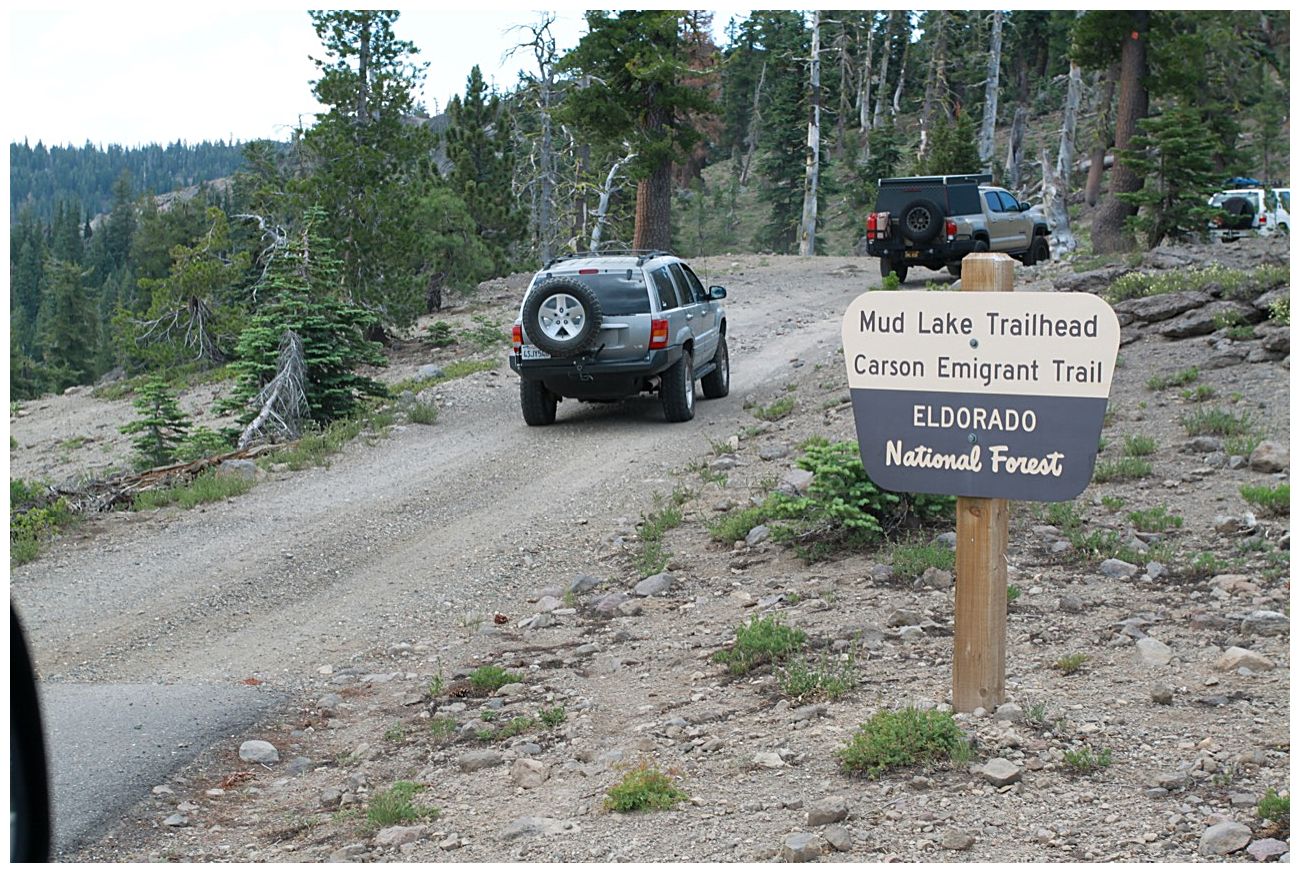
Amador Ranger District of the Eldorado National Forest, off of highway 88 near Kirkwood Ski Resort.
Forest service map
There are two entry points into the trail system (see map above).
1. From Lower Bear River Reservoir via Onion Valley and 08N03.
2. From the Tragedy Springs area on highway 88 west of Silver Lake via 17E24.
Description
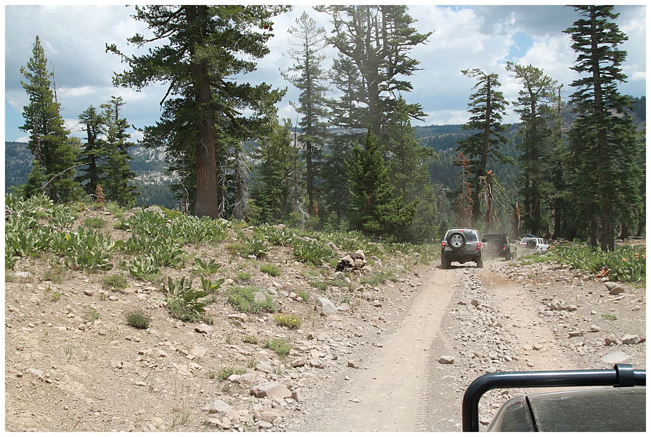
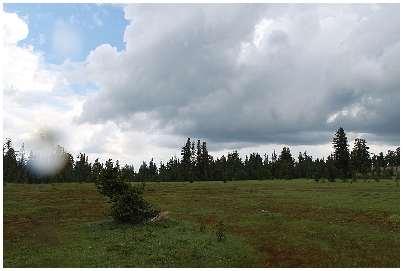
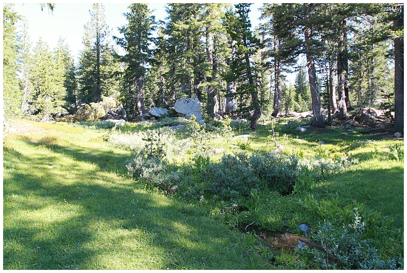
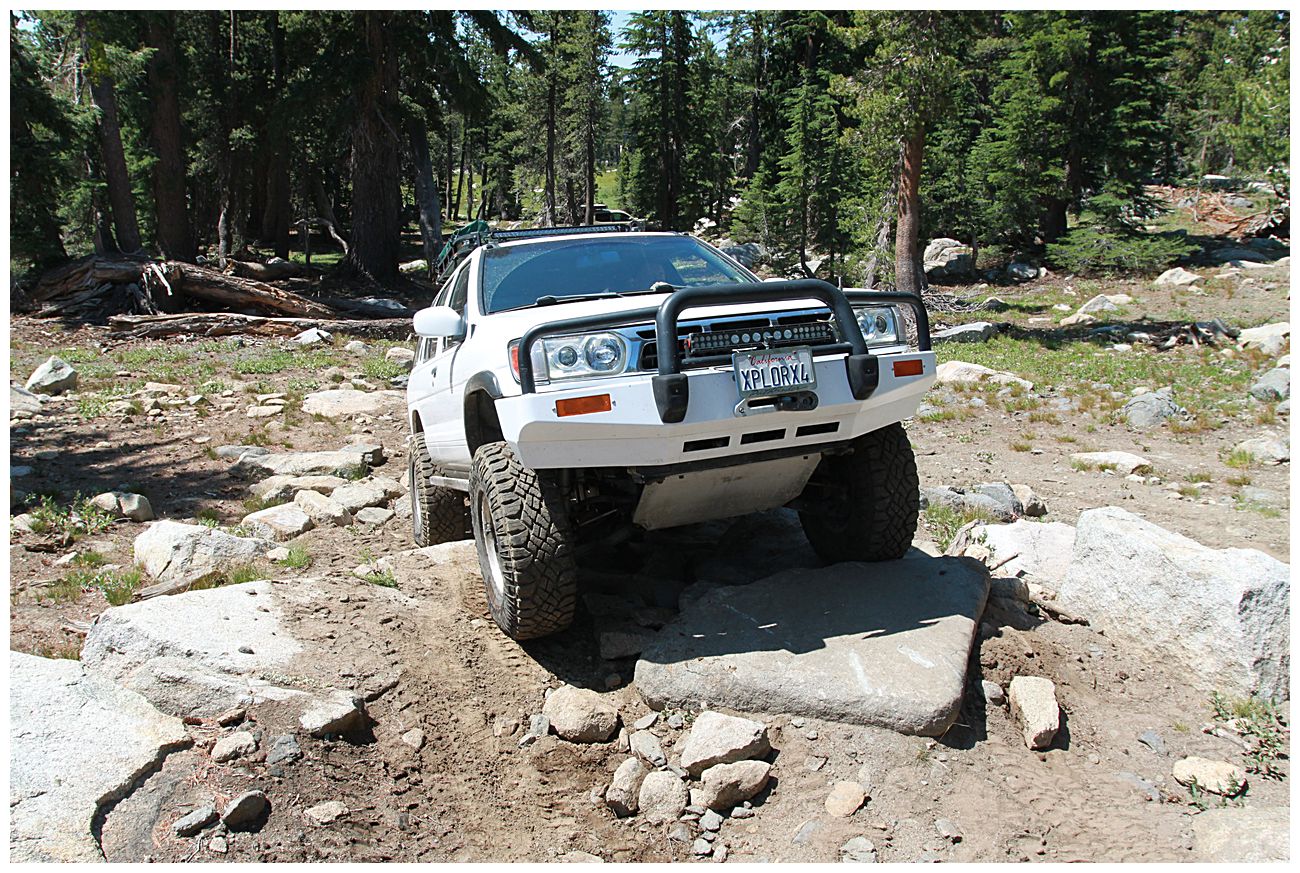
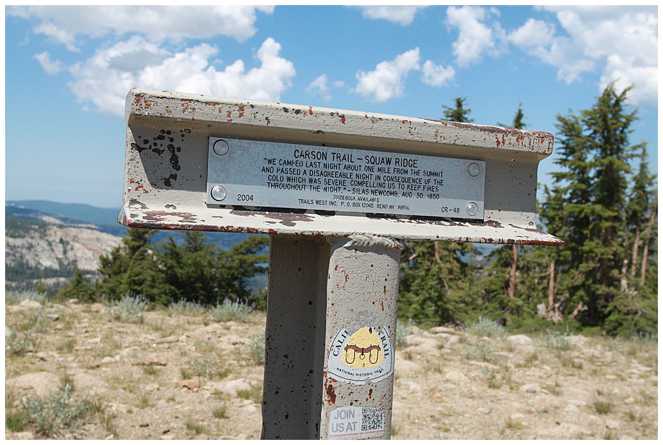
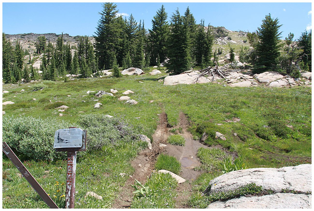
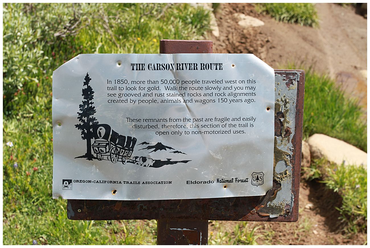
The west side of the trail is generally not very difficult and offers some great views and camping spots along the ridge on 16E26. Parts of the trail follow the Carson Emigrant Trail, and there are several markers which tell the story of early settlers and also other locations of historic interest. If you have Gaia maps it can be interesting to track down some of the springs along the trail and to picture emigrants camping in that same spot 170 years ago.
Things you might want to check out include:
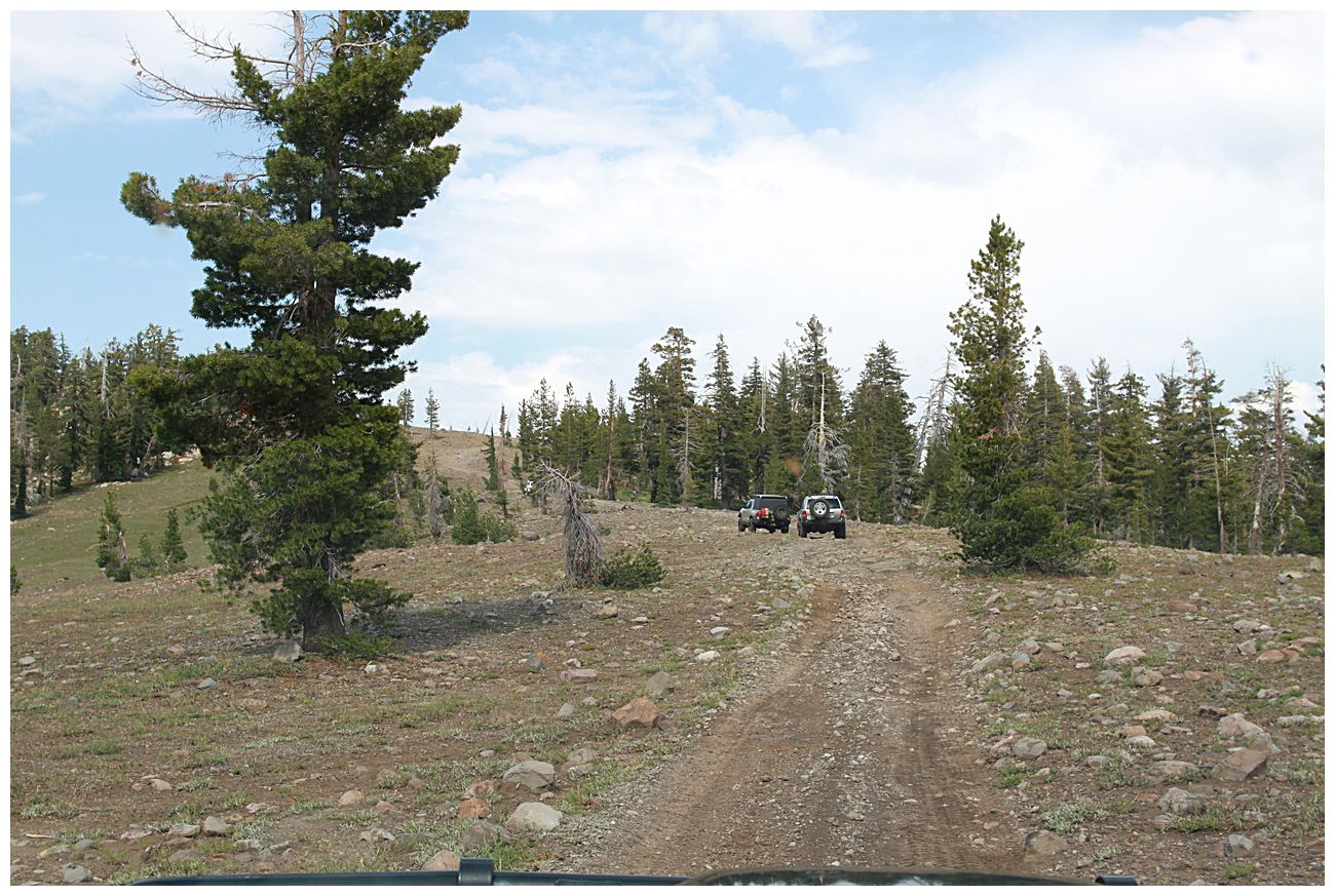
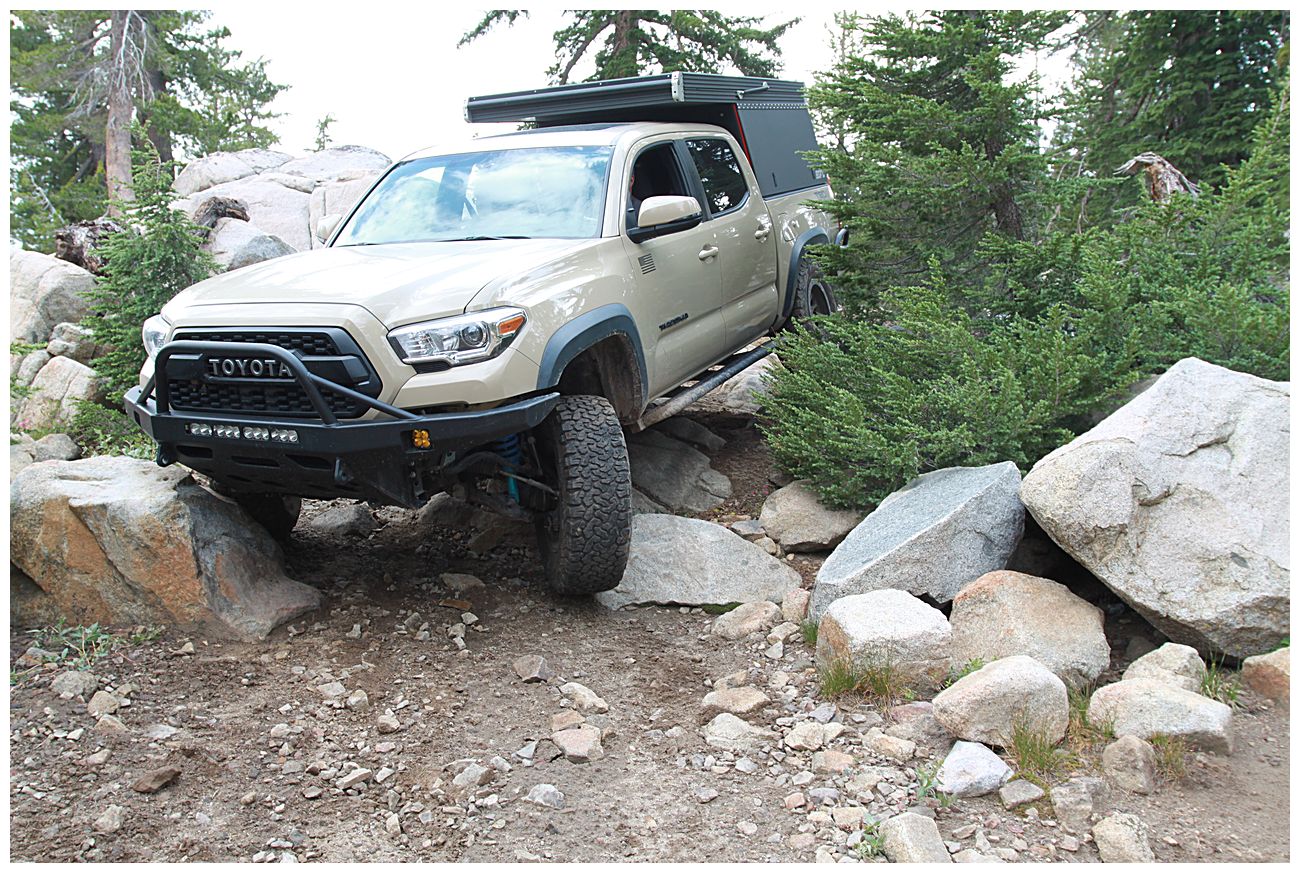
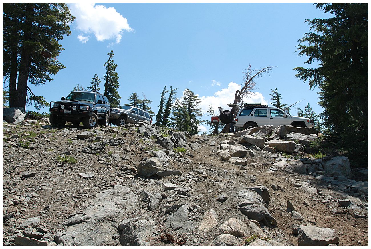
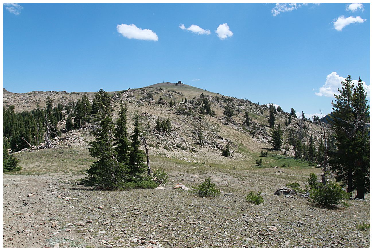
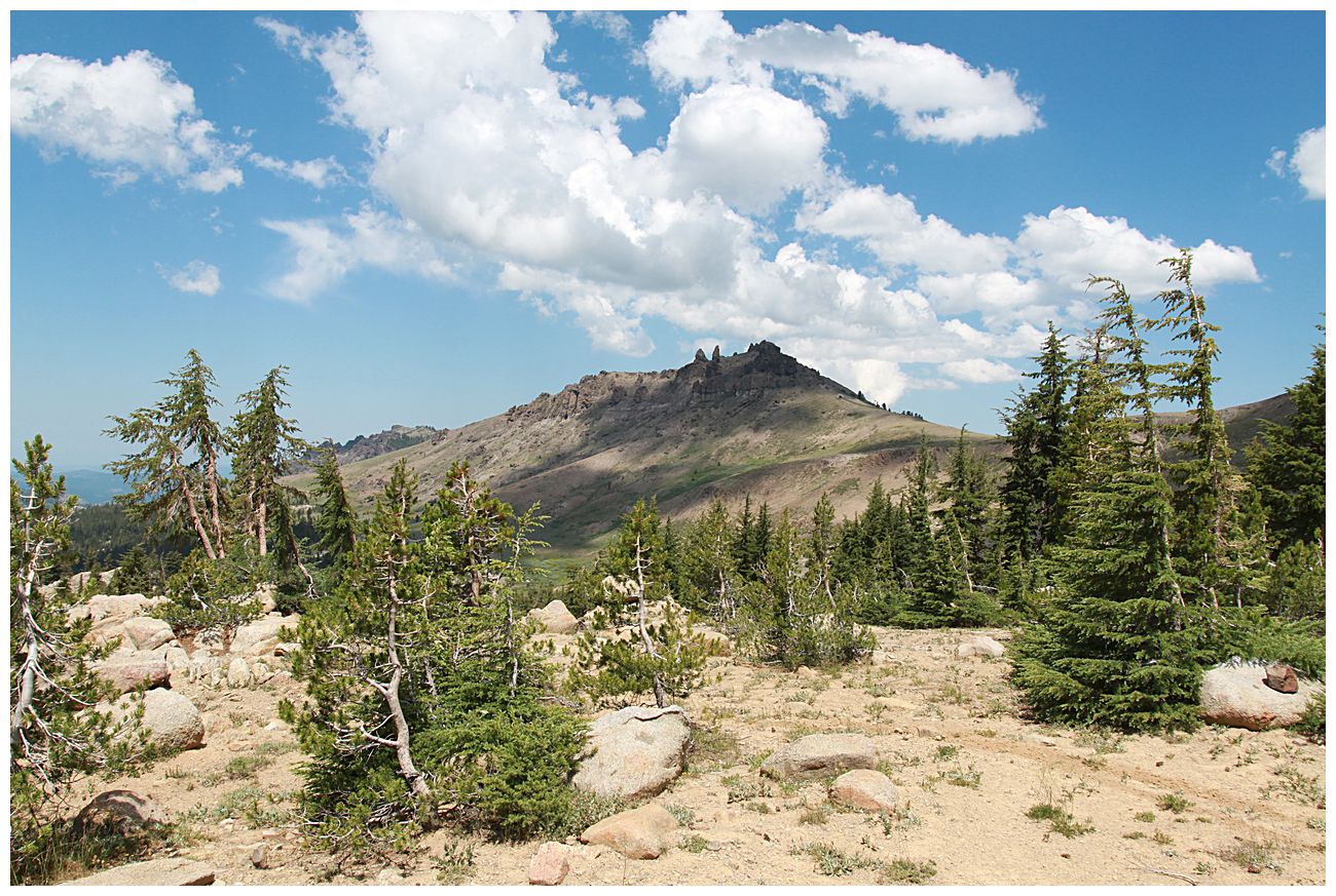
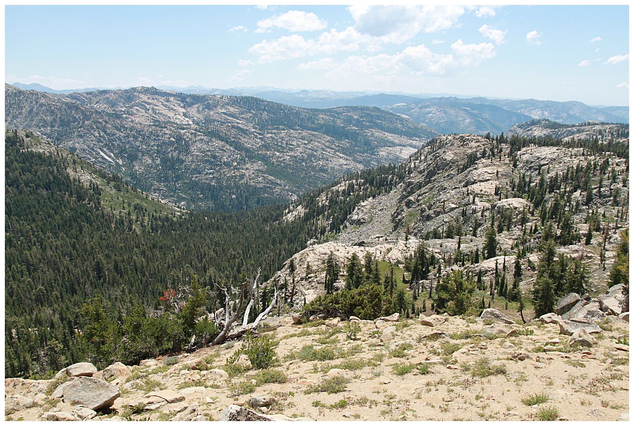
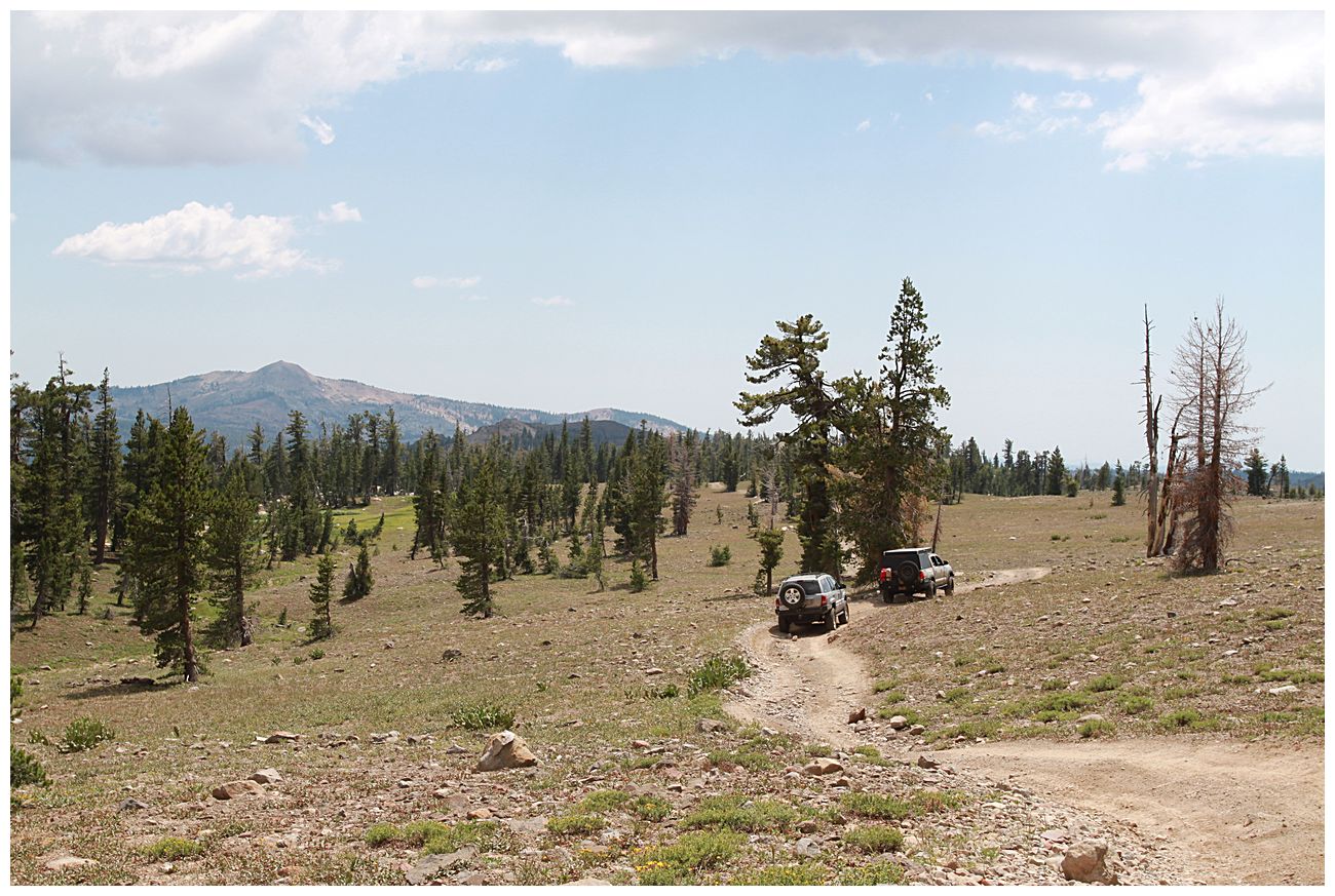
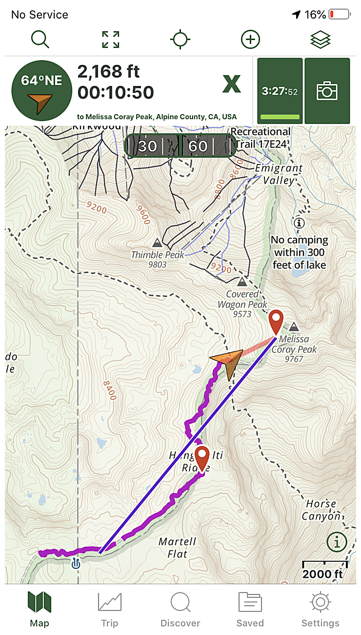
The harder section starts around 38.63182, -120.05880, and there is a good camping spot near a small spring at 38.63545, -120.05372. The last mile or so gets easier again and has great views of the Sierras from above 9000'. There is one last obstacle and then the end of the drivable part of the trail is at 38.64888, -120.04924 where it intersects with 17E21 (bike trail). You can hike ~800 vertical feet to Melissa Coray Peak from this point, which we unfortunately didn't have time to do due to spending too long making a good breakfast, but that's just a reason to go visit the area again. From the end of the trail you can see the backside lift at Kirkwood, and looking south west you can see Bear Valley Ski Resort and the ridge where people like to camp on the Corral Hollow Trail.
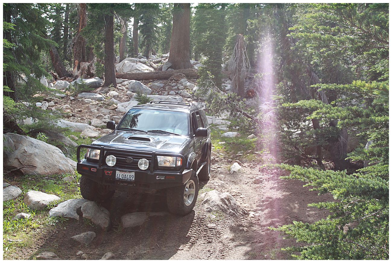
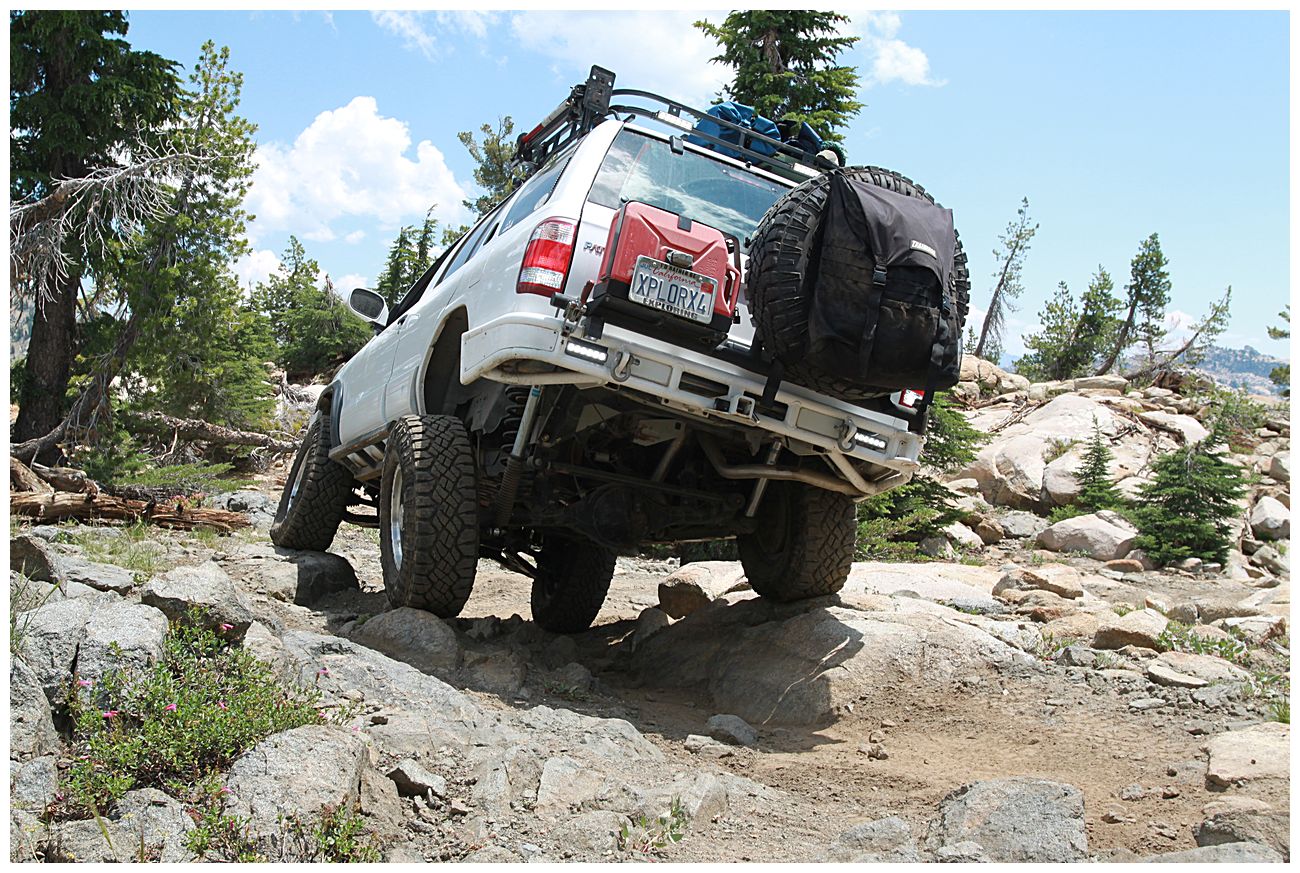
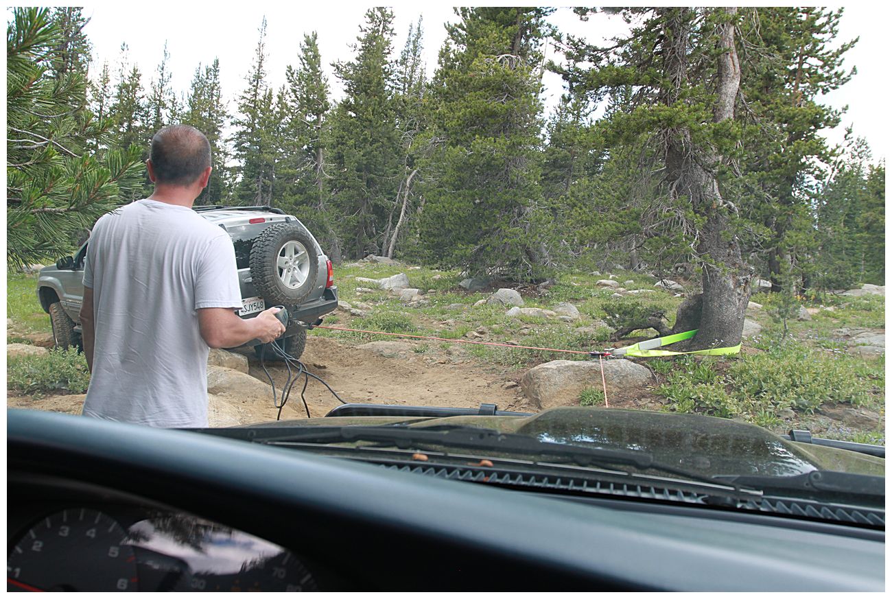
Parts of the Hungaleti Ridge Trail get fairly remote so be sure bring lots of water, appropriate clothing, and let someone know where you are going and when to expect you back. If you plan to travel the eastern section I'd recommend going with at least one other truck because there are ample opportunities for getting stuck. Parts of the west side of the trail can be driven in a 2wd truck, so use common sense and there are great exploration opportunities for a wide range of vehicles and experience levels. I strongly recommend reading about the Carson Emigrant Trail beforehand and learning a bit about what life was like for the tens of thousands of people who traveled this route long ago.
GPS Route
I have a GPS route from our trip, but in general I don't share these out and instead recommend planning your own route using the FS map linked above and/or an application like Gaia GPS.
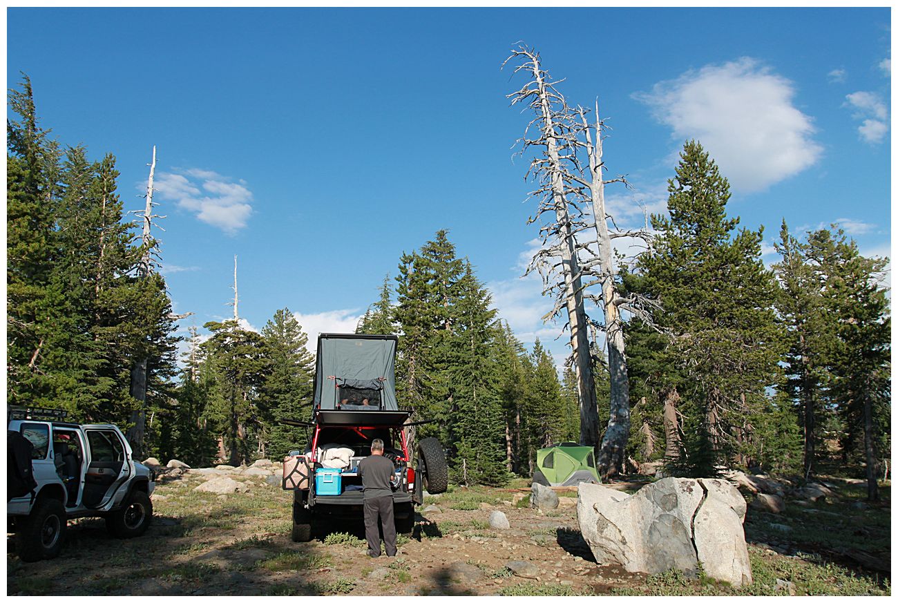
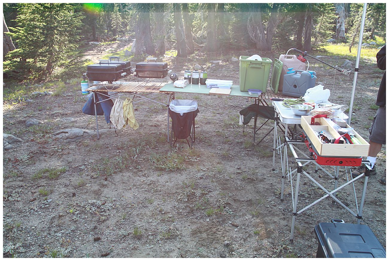
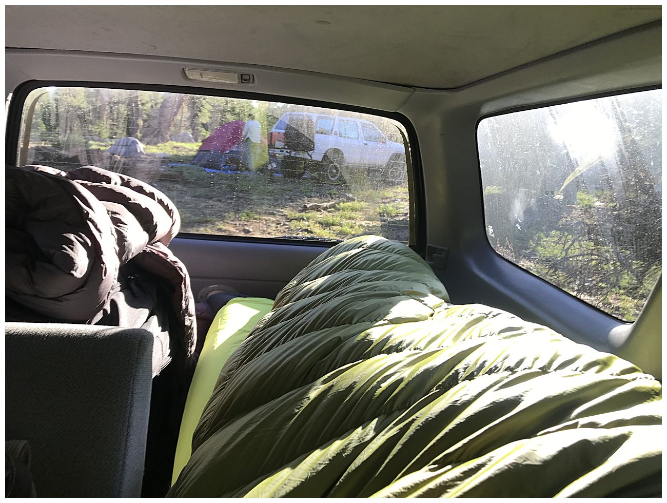
Pictures
Coming soon...
Location
Amador Ranger District of the Eldorado National Forest, off of highway 88 near Kirkwood Ski Resort.
Forest service map
There are two entry points into the trail system (see map above).
1. From Lower Bear River Reservoir via Onion Valley and 08N03.
2. From the Tragedy Springs area on highway 88 west of Silver Lake via 17E24.
Description
The west side of the trail is generally not very difficult and offers some great views and camping spots along the ridge on 16E26. Parts of the trail follow the Carson Emigrant Trail, and there are several markers which tell the story of early settlers and also other locations of historic interest. If you have Gaia maps it can be interesting to track down some of the springs along the trail and to picture emigrants camping in that same spot 170 years ago.
Things you might want to check out include:
- Mud Lake (38.60917, -120.15035)
- Plasse Peak (38.61682, -120.12549) - Can you find the two survey markers?
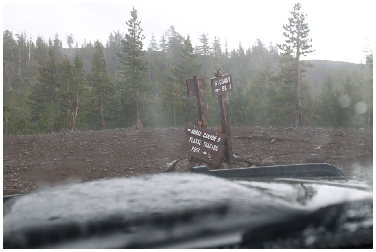
- Plasse Trading Post Site (38.61468, -120.09014)
- Allen Camp (38.618072, -120.108584)
- Lakeview campsite near Portal Gap (38.62518, -120.13395)
- Like hiking? Do a search for "machado postpile".
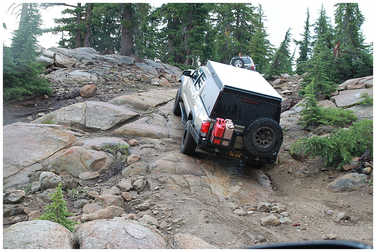
The harder section starts around 38.63182, -120.05880, and there is a good camping spot near a small spring at 38.63545, -120.05372. The last mile or so gets easier again and has great views of the Sierras from above 9000'. There is one last obstacle and then the end of the drivable part of the trail is at 38.64888, -120.04924 where it intersects with 17E21 (bike trail). You can hike ~800 vertical feet to Melissa Coray Peak from this point, which we unfortunately didn't have time to do due to spending too long making a good breakfast, but that's just a reason to go visit the area again. From the end of the trail you can see the backside lift at Kirkwood, and looking south west you can see Bear Valley Ski Resort and the ridge where people like to camp on the Corral Hollow Trail.
Parts of the Hungaleti Ridge Trail get fairly remote so be sure bring lots of water, appropriate clothing, and let someone know where you are going and when to expect you back. If you plan to travel the eastern section I'd recommend going with at least one other truck because there are ample opportunities for getting stuck. Parts of the west side of the trail can be driven in a 2wd truck, so use common sense and there are great exploration opportunities for a wide range of vehicles and experience levels. I strongly recommend reading about the Carson Emigrant Trail beforehand and learning a bit about what life was like for the tens of thousands of people who traveled this route long ago.
GPS Route
I have a GPS route from our trip, but in general I don't share these out and instead recommend planning your own route using the FS map linked above and/or an application like Gaia GPS.
Pictures
Coming soon...